
The best towns with a serious restaurant in the province of Trento
Trentino eats between two climates. Above, the larch and stone villages of Val di Fiemme and Val di Fassa, where the cooking runs to barley soups, canederli, smoked ricotta, cured Mortandela and game slow-braised in Teroldego. Below, near the lake, olive oil, lemons, lake fish and carne salada with beans. The province is small enough that a kitchen can hold both registers on the same menu, and the best of them do, especially in autumn when the porcini and the apples come in together and the dining rooms smell of woodsmoke.
Most visitors to this part of the Alps aim at Madonna di Campiglio, where the ski lifts, the hotel terraces and the December-to-March pricing all point the same way. It earns the attention, and in high season it feels like it. Bolzano and the Dolomiti Superski marketing pull the rest of the traffic across the border into Alto Adige, leaving the impression that the good tables in this region cluster in a couple of resorts.
The same valleys, the same suppliers and the same dairy cooperatives carry on past those resorts. The towns here hold restaurants the strictest guides have inspected and listed, in places where the dining room seats fewer people than the village bar and the chef knows which farm the butter came from. Fewer people go. That is the only real difference in the cooking.
Of the 21 communes we have mapped in the province of Trento, 8 qualify as towns with a serious restaurant: each holds a restaurant listed by the most demanding of the dining guides. The smallest, Ossana, has 819 residents.
If you are still choosing, we have also written The best ski towns with a serious restaurant in Trentino-Alto Adige/Südtirol and The best hidden ski towns in the province of Trento.
Ossana
Why visit Ossana
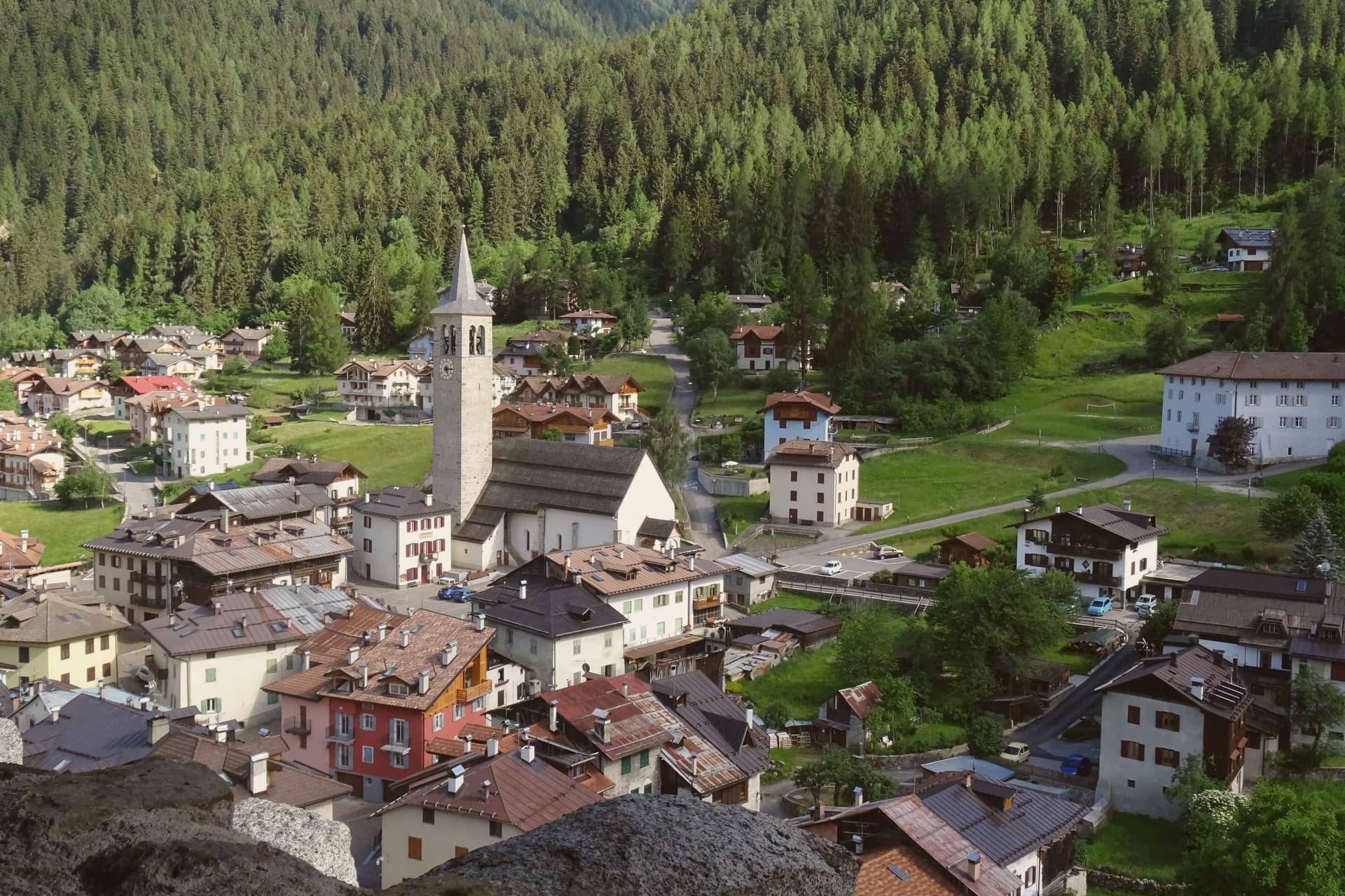
Ossana sits at 1,003 metres in upper Val di Sole, where the Vermigliana stream joins the Noce and the road climbs to the Passo del Tonale on the border with Lombardy. The keep was probably raised in the Lombard period, long before the 1191 record that first names it, and stood over the junction of the valley route and the mountain iron mines that made it worth holding.
Its owners changed with the centuries, prince-bishops, counts, and eventually an Austrian pacifist, tracing the wider shifts of power through the Adige and Sole valleys onto one hill above the village. The village below has kept its stone houses close around that hill, small enough that the castle is never out of sight from the streets.
What the place adds up to is a settlement built and rebuilt around a single point of control, the keep watching a road that once carried ore and armies and now carries travellers over the Tonale pass.
Antica Osteria have been named by a guide.
What to see in Ossana
- Castello di San Michele. Fortress dominating the village, restored by the Province of Trento and open as a visitable monument. It controlled the route between the Adige valley and the Brescian uplands, and the iron mines in the surrounding mountains.
- Borgo di Ossana. Compact historic centre of stone houses around the castle hill, recognised as one of I Borghi più Belli d'Italia in 2022.
- Chiesa di San Vigilio. Parish church of the village, with origins in the medieval period and frescoes inside the apse, a few steps below the castle.
How to get to Ossana
Trento is roughly 90 minutes away by road.
Our tip
June through September is the high-valley summer: trails open into the Stelvio National Park and the Adamello-Presanella group, the castle keeps long visiting hours, and night skies are dark enough for the village's dark-sky programme. December through March is the ski half of the year, with the Tonale and Pejo lifts ten kilometres away and the December presepi display drawing weekend visitors from across Trentino. April, May, October and November are the closure months.
Canazei
Why visit Canazei
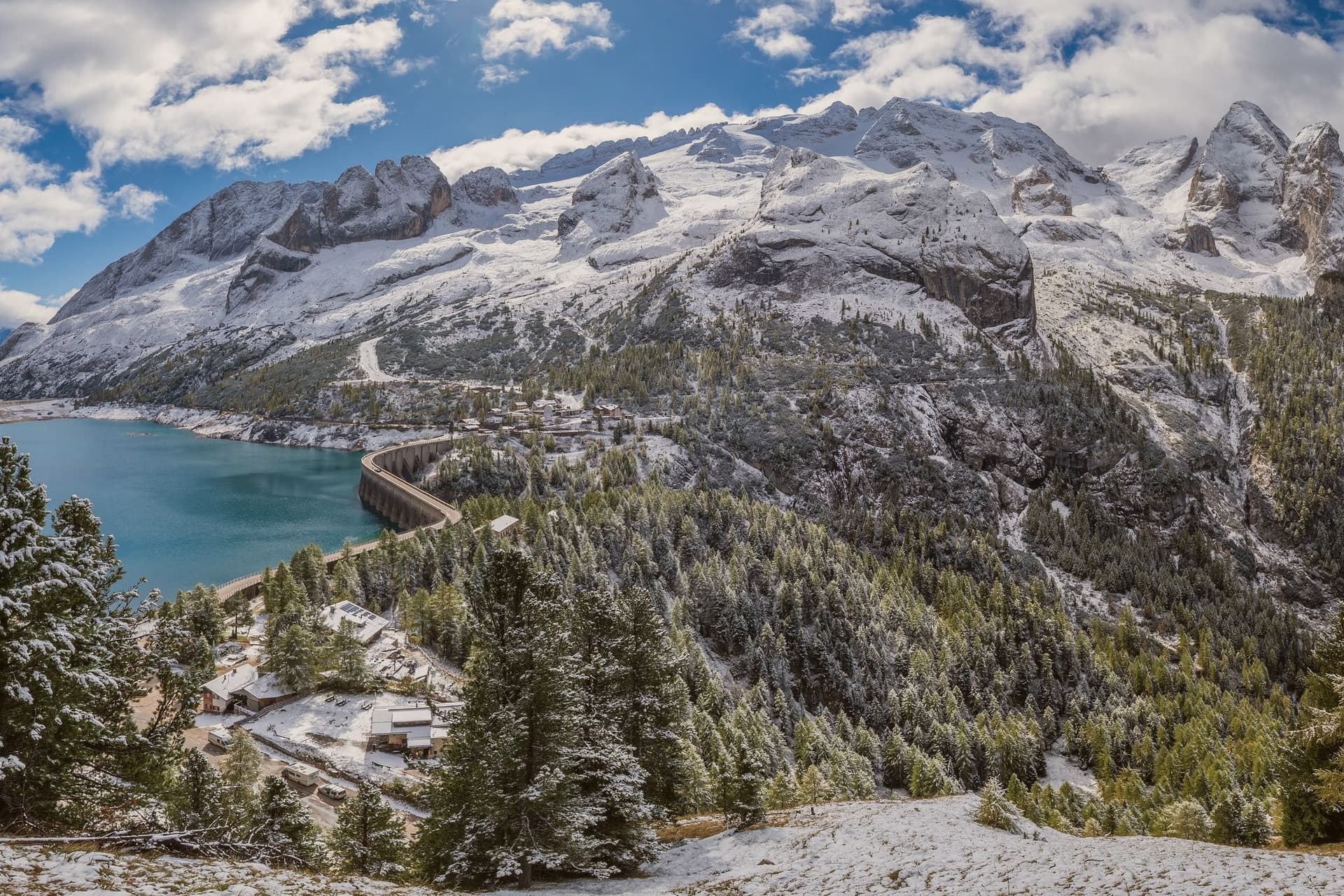
Canazei sits at 1,465 metres at the head of the Val di Fassa, one of the thirty highest towns in Italy, ringed by the Marmolada, the Sella Group and the Sassolungo. The commune includes the hamlets of Alba, Gries and Penia, which run together with the central village along the upper Avisio river.
Eight in ten residents speak Ladin as their first language, part of the small Dolomitic minority recognised by the autonomous statute, and the local Folk Group preserves the costumes, music and language traditions of the valley. Four ski areas connect from the village base: Belvedere, Ciampac, Col Rodella and the Marmolada cable car from Malga Ciapèla, all part of the Sellaronda and the wider Dolomiti Superski circuit.
The Pordoi cable car climbs to the Terrazza delle Dolomiti at 2,950 metres for a full view of the surrounding peaks, including the Marmolada at 3,343 metres, the highest summit in the Dolomites and a UNESCO World Heritage site since 2009.
Wine & Dine, Alla Locanda, Locanda degli Artisti Art Hotel and 1 more have been named by a guide.
What to see in Canazei
- Marmolada. Highest summit in the Dolomites at 3,343 metres, reached by cable car from Malga Ciapèla above Canazei, with the only Dolomitic glacier on its northern face.
- Passo Pordoi. Dolomite road pass at 2,239 metres with a cable car to Sass Pordoi at 2,950 metres, called the Terrazza delle Dolomiti for its 360-degree view.
- Belvedere Ski Area. Main winter base of Canazei, gondola-linked to the Sellaronda circuit and the lift system across the four Ladin valleys of the Sella group.
How to get to Canazei
Bolzano is roughly 86 minutes away by road.
Our tip
December through March is the ski season, the village's busiest months, with the Sellaronda circuit running from the Belvedere base and snow held above 1,500 metres into early April. June through September is the summer alpine season, with the Pordoi cable car running to the Terrazza delle Dolomiti and a full network of hiking and via ferrata routes on the Marmolada, Sassolungo and Sella. July and August are the peak months, with refuges full and bookings tight on the Fedaia and Pordoi passes. Gran Festa da d'Istà falls in September.
Moena
Why visit Moena
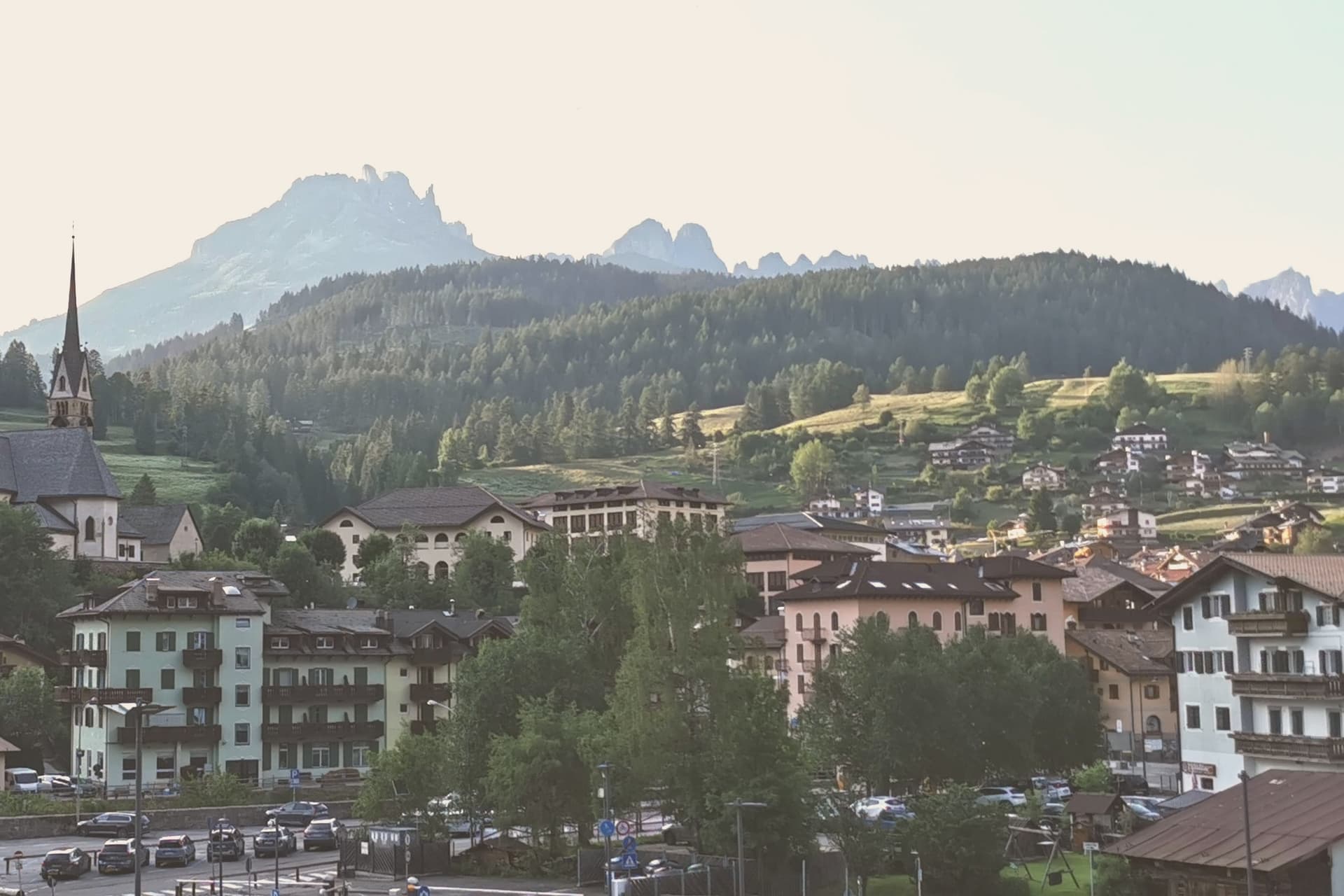
Moena sits at 1,184 metres at the entrance to Val di Fassa, which climbs north toward Canazei and the Sella massif. To the southeast a side valley rises toward the Passo San Pellegrino and the Marmolada group, while a plateau above the village, reached by cable car, opens onto the Catinaccio, Latemar and Pale di San Martino to the south.
The village is the largest in the valley and functions as its entrance point, with the high peaks visible on three sides and the pastures of San Pellegrino working land rather than backdrop. What holds the place together is less the geography than what the two festivals and the church commemorate: a language kept alive as an everyday tongue, a costume festival built around a foreign soldier's arrival, and a painter who left and came back.
Moena reads less like a single Alpine village and more like a crossing point, between valleys, and between a local story and the outside events that keep getting folded into it.
Malga Panna, Foresta, Ostaria Tyrol and 3 more have been named by a guide.
What to see in Moena
- Chiesa di San Vigilio. Parish church rebuilt across the centuries, with a gilded wooden altar by Valentino Poschiavin and 18th-century paintings by Valentino Rovisi. It also holds work by Domenico Chiocchetti.
- Chiesa di San Volfango. Small Romanesque church next to the parish, with 15th-century frescoes and a wooden Baroque ceiling carved by Giovanni Guadagnini in the 17th century.
- Museo Ladin de Fascia (sezione Moena). The Ladin cultural museum network with a Moena exhibit on local language, costume and rural life in the lower Val di Fassa.
How to get to Moena
Bolzano is roughly 65 minutes away by road.
Our tip
June through September brings the green Dolomite season: alpine pastures open, the Catinaccio and Latemar are walkable from the cable cars above town, and the August Turchia festival fills the streets for three days. December through March is the ski half of the year, with lifts running on Alpe Lusia and over the Passo San Pellegrino into the Tre Valli circuit. April, May, October and November are quiet, between seasons. Festival del Puzzone falls in September.
Pinzolo
Why visit Pinzolo
Val Rendena runs the length of the valley floor, separating the granite of the Adamello-Presanella to the west from the Dolomites to the east, and Pinzolo sits at its center at 770 metres. The settlement is documented from 1211 as Penzollo, a medieval community of farmers and pastoralists that kept a degree of independence from the D'Arco counts through its own village assembly, the Università.
Most of the municipal territory now falls inside the Adamello-Brenta Nature Park, the largest protected area in Trentino, which places both mountain ranges within the same administrative boundary as the town itself. Up the valley, the frazione of Madonna di Campiglio grew from a travelers' hospice into a resort, and the two settlements are now linked by gondola as well as by governance, the older farming village at the valley floor and the younger resort on the slopes above it.
Pinzolo became a ski town in the second half of the twentieth century, and the cable car climbing from its centre to 2,100 metres is the physical expression of that link, carrying the town's growth up toward the peaks that have always framed it.
Grual, Rendenèr Alpine Food, Il Gallo Cedrone dell'Hotel Bertelli have been named by a guide.
What to see in Pinzolo
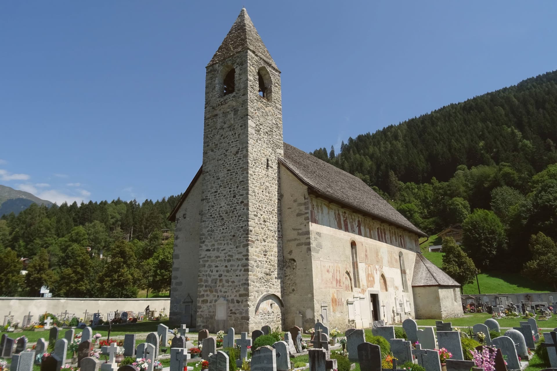
- Chiesa di San Vigilio. The church stands above the village. Its painted procession of eighteen skeleton pairs leads pope, emperor, king, beggar and child in a single line across the exterior wall, the fresco surviving in near-complete condition.
- Chiesa di Santo Stefano. Cemetery church on the edge of the village, frescoed inside and outside by the Baschenis painters with another Dance of Death cycle and scenes of saints.
- Parco Naturale Adamello-Brenta. Largest protected area in Trentino, covering most of the Pinzolo territory and including the Brenta Dolomites and the Adamello-Presanella glaciers.
How to get to Pinzolo
Trento is roughly 93 minutes away by road.
Our tip
May through October is the open season in Pinzolo, with the longest days in June and July and the Val Genova waterfalls running full from snowmelt. September is the cleanest light, the larches still green, the high refuges in the Brenta Dolomites still staffed. December through April reopens the village as a ski base, but the editorial calendar tracks summer use: hiking, the rifugio circuit, the Baschenis frescoes accessible without snow.
Cavalese
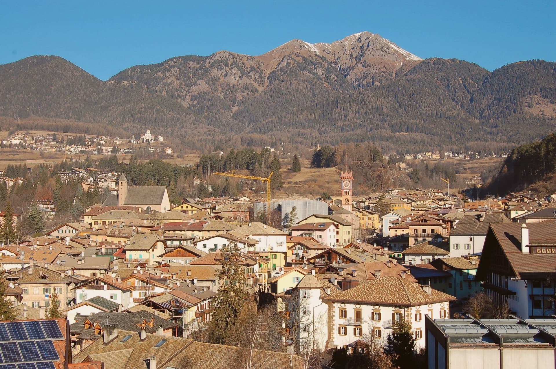
Why visit Cavalese
Cavalese sits at 1,000 metres on a south-facing terrace above the Avisio, forty kilometres northeast of Trento, the main town of the Val di Fiemme. The valley's eleven communes held their forest commons in common under the Magnifica Comunità, the self-governing body founded by the founding charter of 1111, and Cavalese has kept its seat through the Bavarian abolition of 1807 and every legal change since.
The valley floor carries the working memory of that governance: the archive of parchments, the frescoed council chambers, the bench in the open air where disputes were once judged. Above the town, the cableway to the Alpe Cermis climbs toward 1,912 metres, and the flat route along the Avisio ties Cavalese to the other Fiemme communes strung along the valley floor from Predazzo down toward the Adige.
Nine centuries of continuous self-rule and a valley of communes bound by a single river explain why Cavalese reads less like a single town than like the administrative floor of the whole valley.
El Molin, Orso Grigio have been named by a guide.
What to see in Cavalese
- Palazzo della Magnifica Comunità di Fiemme. Medieval bishop's residence enlarged in the Renaissance, seat of the community since 1810, with a picture gallery and an archive of parchments from the thirteenth to eighteenth centuries.
- Pieve di Santa Maria Assunta. Parish church of Cavalese, consecrated in 1134 on an older foundation, standing beside the park where the valley's representatives once sat in judgment.
- Banco della Reson. Stone bench in the Parco della Pieve where the representatives named in the Patti Ghebardini met as an open-air parliament to judge valley disputes.
How to get to Cavalese
Bolzano is roughly 95 minutes away by road.
Our tip
June through September is the high-valley season: meadows open above 1,000 metres, the Latemar and the Lagorai are reachable on day walks from the town, and the cycle path along the Avisio fills with day-trippers. December through March is the ski season on Alpe Cermis and the Lavazè plateau, with snow held above 1,000 metres into early April and the Tour de Ski final climb up the Cermis slope each January. April, May, October and November are the quiet shoulder months between the seasons, when the cable car runs reduced schedules and the valley returns to its residents.
Brentonico
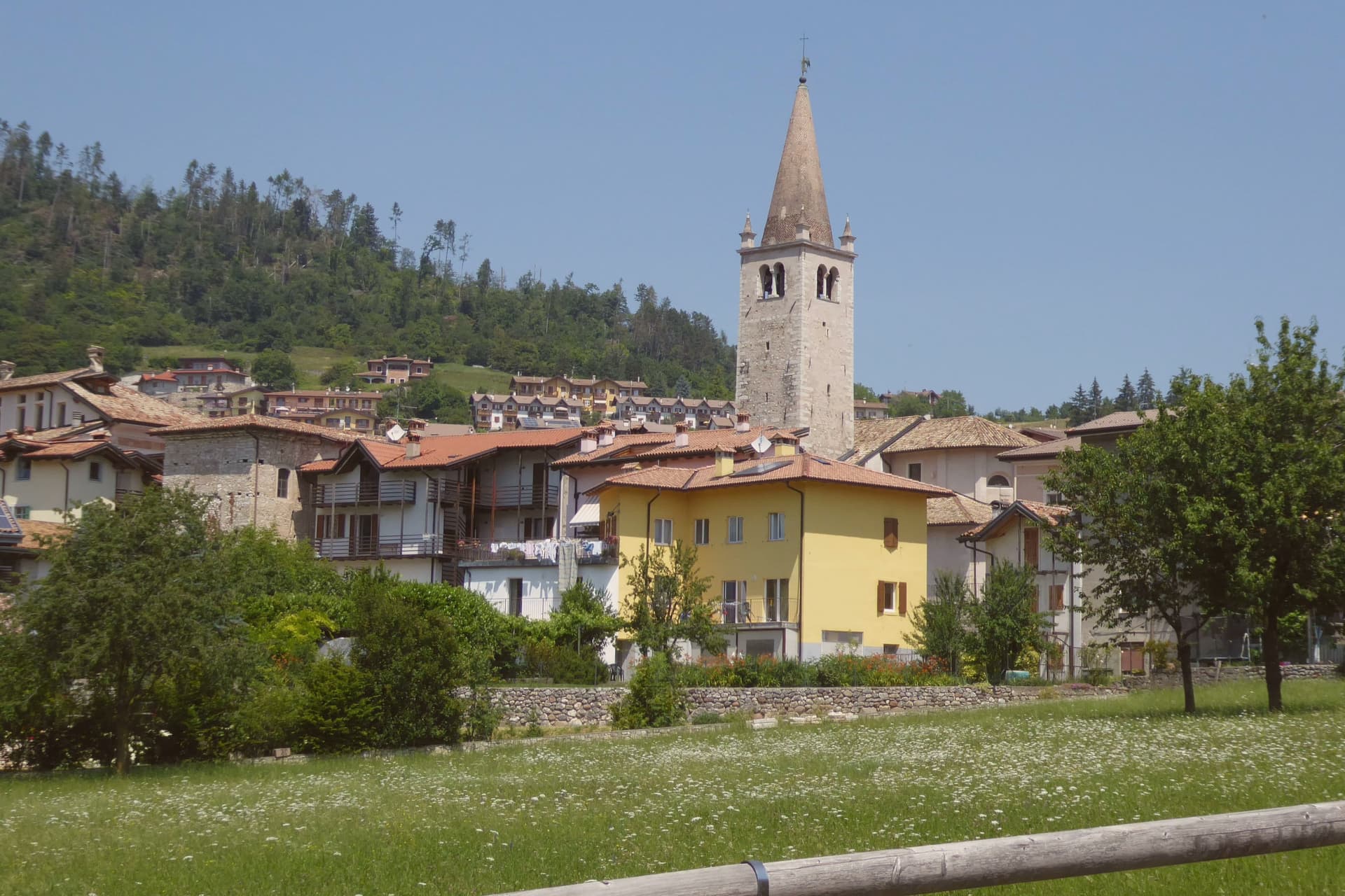
Why visit Brentonico
Brentonico sits at 692 metres on a plateau between Lake Garda and the Vallagarina. The commune runs from 500 metres in the valley to over 2,000 at the ridge, an altitude range wide enough to hold a chestnut hamlet at one end and ski hamlets at the other.
Castione, the lower hamlet, faces the Adige valley and lives by its terraces. San Valentino, Polsa and San Giacomo, the upper hamlets above 1,200 metres, face the opposite way, toward pasture and snow.
Palazzo Eccheli-Baisi anchors the centre and has changed hands once in a way that says something about the town: built in 1597 by mine managers, it passed in 1840 to a family of salami merchants, before ending up, in this century, as a house for fossils and for the office that manages the mountain's protected slope. That slope, and the garden set in front of the palace, both draw on the same fact: the mountain was named by European botanists for what grows on it, and the town's two conservation projects, one wild, one planted, sit on either side of the same building.
Above Crosano the ground still carries the trenches of the First World War, dug where the Austro-Hungarian line crossed the plateau. The valley below has been worked for chestnuts and the ridge above was fought over, and the palace in the centre now holds the record of both.
Maso Palù have been named by a guide.
What to see in Brentonico
- Palazzo Eccheli-Baisi. The building's later life traces the town's own turns: sold in 1840 by the founding mine-manager family to salami merchants, it now sits open to visitors as museum and park office at once, fossils in the rooms where ore accounts were once kept.
- Giardino Botanico di Brentonico. Opened in 2005 at 690 metres, directly in front of the palace, the garden gathers native and rare Monte Baldo plants into a plot small enough to walk in an afternoon.
- Parco Naturale Locale del Monte Baldo. The protected slope is where the mountain earns its old reputation: paths through it cross the endemic flora that gave the range its name among European botanists.
How to get to Brentonico
Trento is roughly 42 minutes away by road.
Our tip
May through October brings the warm months on the plateau, with the botanical garden in flower from late May, the Monte Baldo paths open above 1,500 metres, and the chestnut hamlets cool against the heat of the Vallagarina below. June and July see the rare Monte Baldo endemics in bloom on the upper slopes. October is the chestnut harvest, the busiest month in Castione, with the marroni roasted at autumn sagre.
Levico Terme
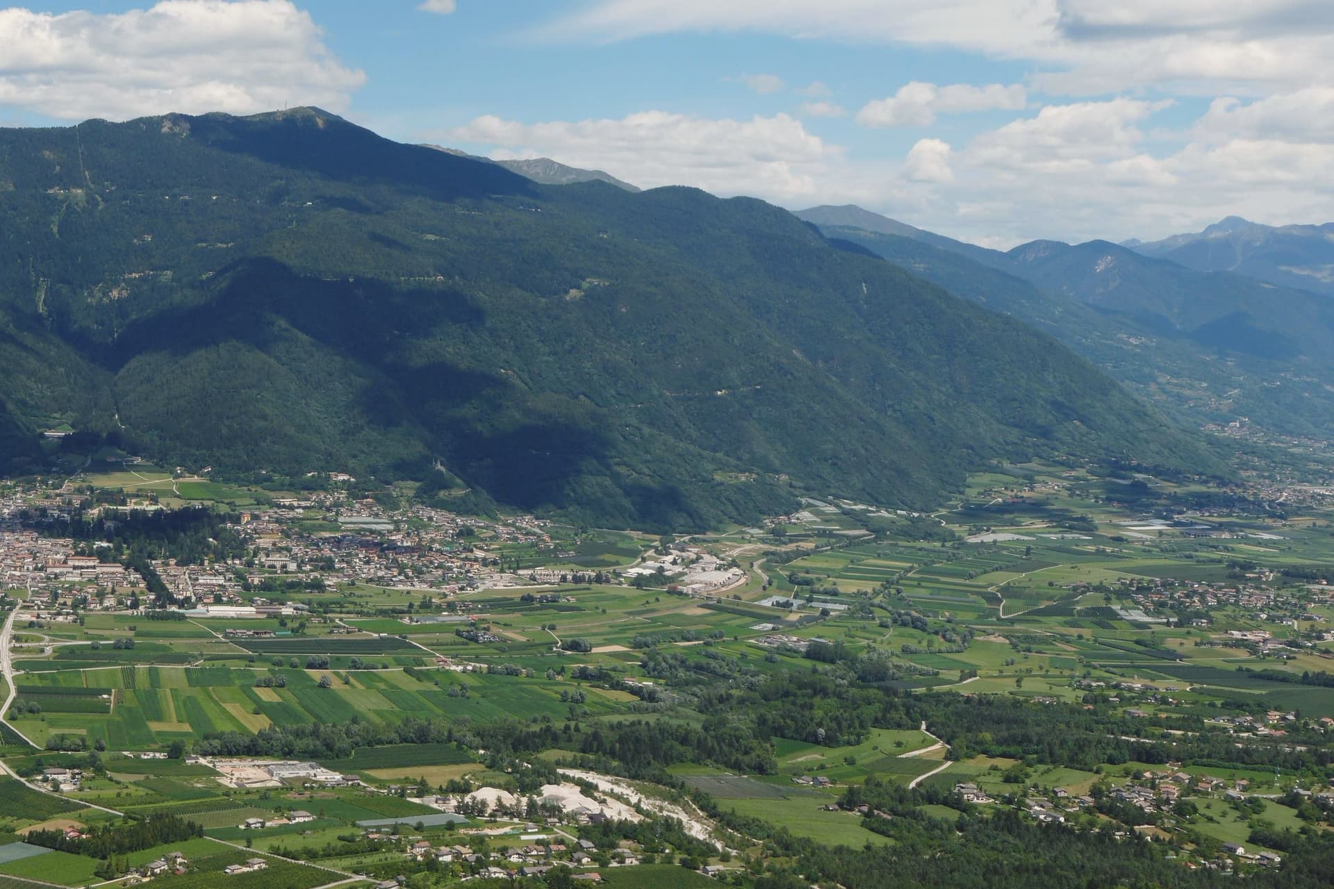
Why visit Levico Terme
Levico Terme sits at 520 metres in the Valsugana, twenty kilometres east of Trento, between the Lagorai chain and the high plateaus of Folgaria and Lavarone. The settlement passed under Habsburg jurisdiction in 1779 and was elevated to city rank in 1894 by decree of Franz Joseph I.
The spa quarter, the park and the lake sit close together at the edge of the old centre, with the fort watching all three from the hill above. The historic centre, with its imperial-era villas and the parish church of Santissimo Redentore, grew up around the spa rather than the other way round: the streets follow the shape of a resort built in the space of a few decades under Austro-Hungarian rule, rather than a town that predates it.
What survives is a place whose entire layout, from park gate to lakeshore to the fort on the ridge, still reads as the imperial spa it was built to be.
Boivin have been named by a guide.
What to see in Levico Terme
- Parco delle Terme. Grounds laid out by Georg Ziehl around the spa buildings and the hotel, with paths shaded by mature planting where the Christmas market sets up each winter.
- Grand Hotel Imperial. Art Nouveau facade facing the park it anchors, the rooms where Empress Elisabeth stayed still forming the core of the working hotel.
- Terme di Levico. The spa buildings that gave the town its purpose, drawing on water piped down from the mountain springs and still run as a treatment centre today.
How to get to Levico Terme
There is a railway station in the town, so you can arrive without a car and never need one while you are here. Trento is roughly 30 minutes away by road.
Our tip
Levico runs year-round: the thermal cures operate from spring through autumn, the Christmas market fills the Habsburg park through December, and the spa hotels stay open through the cold months. May through October is the lake season, with the Bandiera Blu waters warm enough for swimming from mid-June and the sailing and windsurfing clubs open. June through August can hit thirty degrees in the valley floor; the park and the lakeside hold the heat better than the centro storico in the afternoon.
Riva del Garda
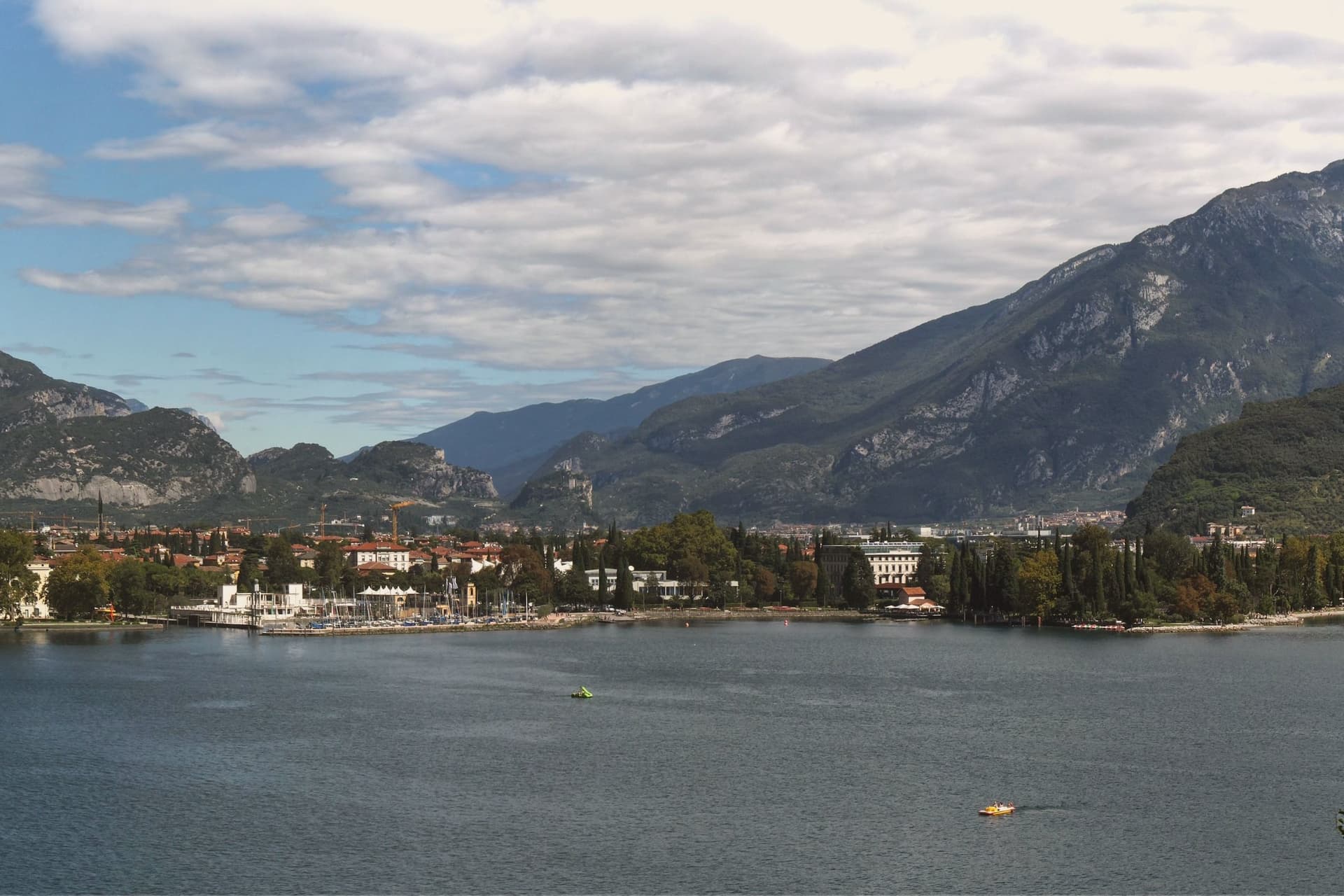
Why visit Riva del Garda
The town sits where the lake narrows between the Brescian shore and the cliffs of Monte Rocchetta, at 73 metres above sea level. It belonged to the Scaligeri of Verona in the twelfth century, then to Venice, then to the Prince-Bishops of Trento, then to Austria-Hungary from 1815 until 1918.
The Habsburg century left it the Mitteleuropean spa town where Kafka, Nietzsche and Thomas Mann came to write and recover. The old town and the harbour meet at Piazza III Novembre, anchored by the civic tower on one side and the water on the other, while above, the fortified tower clings to the mountain that closes the lake off to the north.
Down the shore, the gorge at Varone cuts into the territory of Tenno, a short distance from the town but a different landscape entirely, narrow and wet where the lakefront is open. The thermal Ora blows north up the lake in the afternoon and the cooler Pelèr blows south in the morning, the cycle that has made the town one of Europe's main windsurfing and sailing centres.
What holds the place together is the layering: a fortified lake port, fought over by three powers, turned into a rest cure for writers from across the continent, and now given over to wind.
Al Volt, Villetta Annessa, Antiche Mura and 1 more have been named by a guide.
What to see in Riva del Garda
- Rocca di Riva. The moated fortress stands ringed by water in the centre of the old town. Inside, the MAG Museo Alto Garda holds the archaeology and picture collection built up across the centuries the building itself lived through.
- Torre Apponale. First documented in 1273, the tower carries 165 steps to a terrace over the lake, with the Anzolim weather vane turning on top.
- Chiesa dell'Inviolata. Octagonal baroque church built in 1603, with altarpieces by Palma il Giovane and a frescoed dome, commissioned by Gaudenzio Madruzzo as a pilgrimage shrine.
How to get to Riva del Garda
Trento is roughly 48 minutes away by road.
Our tip
April through October is the working season on the north Garda. April and May open with cycling and via ferrata on the cliffs above the lake, the water still cool. June and September are the cleanest months, with the wind reliable for sailing and the temperature in the mid-twenties.
More from Anywhere Italy
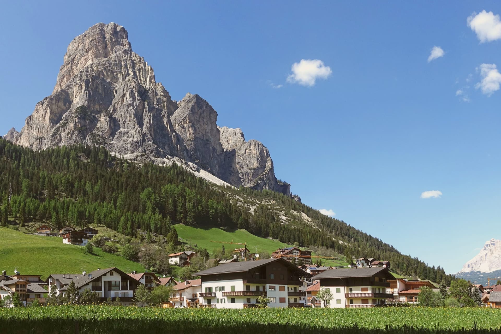 The best ski towns with a serious restaurant in Trentino-Alto Adige/Südtirol
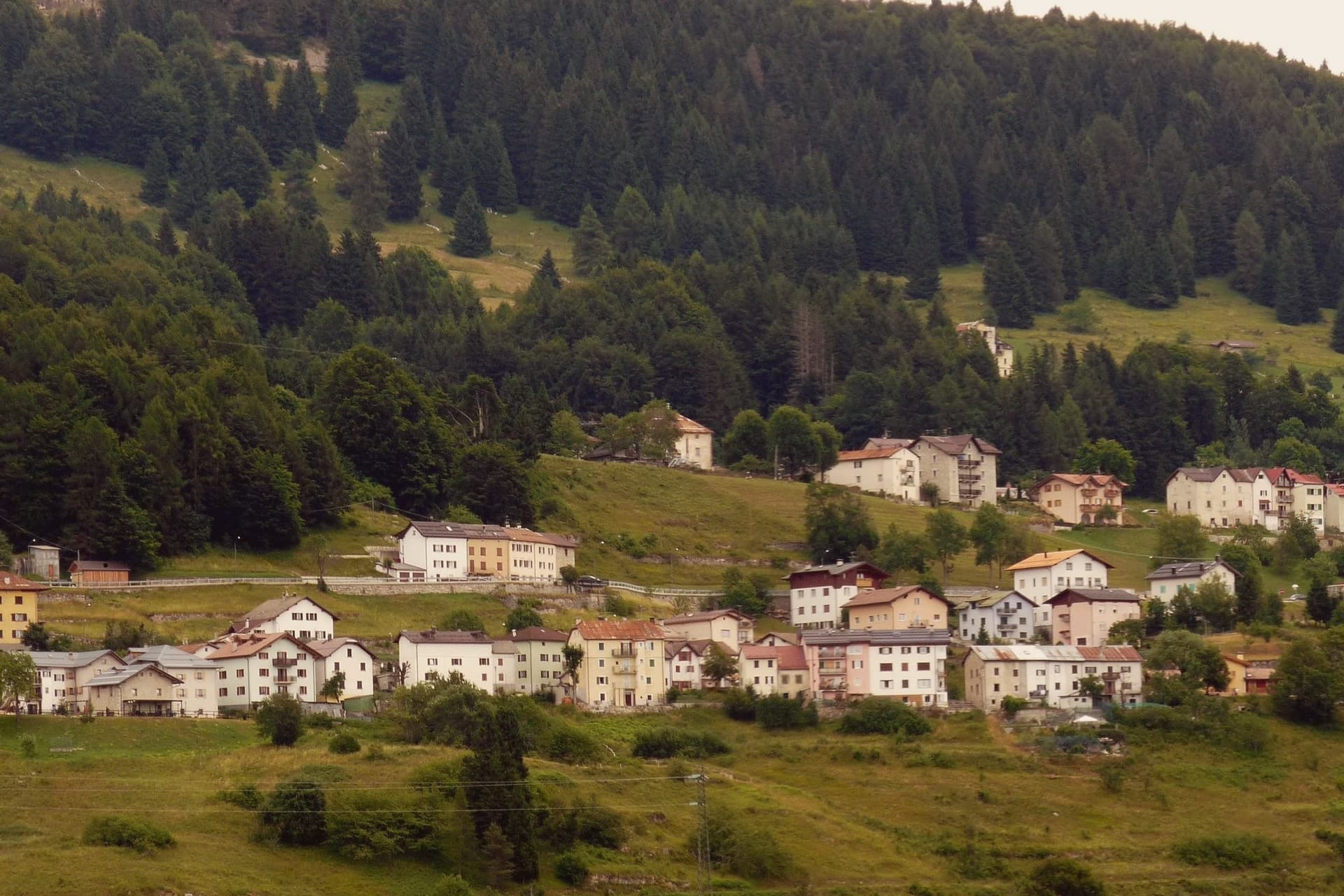 The best hidden ski towns in the province of Trento
- The best small towns that eat well in the province of Trento
- The 7 best towns with a serious restaurant that eat well within 90 minutes of Trento
- The best high-altitude villages with a serious restaurant in Trentino-Alto Adige/Südtirol
- The best small ski towns that eat well in Trentino-Alto Adige/Südtirol