
The best towns known for what they grow within 75 minutes of Bari
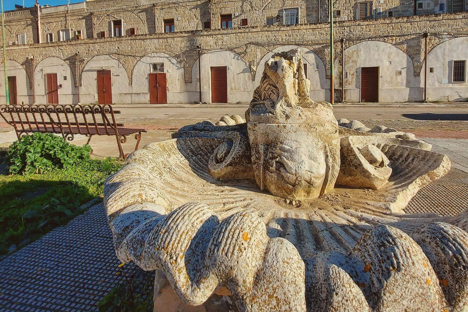
Behind Bari the land climbs into the Murgia, a limestone plateau of dry-stone walls, sheep tracks and low farmhouses built from the pale tufa quarried underfoot. This is growing country, and the labels prove it: olive oil pressed from Coratina trees, artichokes cut in spring, lentils from the high fields, almonds that go into taralli and the hard almond pastes of Puglian bakeries. Markets shift with the year, from the cime di rapa and citrus of the cold months to the table grapes and figs of late summer. The cooking is direct, orecchiette with greens and chilli, bread from durum wheat that keeps for days, burrata eaten the day it is made.
Most travellers who come this way for food go to Alberobello, where the trulli fill the postcards and the coach parks fill by mid-morning, or else stay on the coast at Polignano a Mare and eat facing the sea. Both are worth the time they take, and both are busy from spring onwards, with restaurant menus written in several languages and prices set by the volume of visitors. The famous Puglia is good. It is also the part of Puglia everyone else has already booked.
The plateau does not stop at the edge of the trulli country. The same wheat fields, olive groves and vineyards run west and north into the province towards Basilicata, past ravines and quarry towns where the produce is the local economy rather than a souvenir. The towns here sit inside the production zones of protected fruit and vegetables, which is a plain way of saying the food on the table was grown in sight of it. Fewer people go, and lunch costs less.
Of the 24 communes we have mapped in a 75-minute drive of Bari, 7 qualify as towns known for what they grow: each sits inside the production zone of a protected fruit or vegetable. The smallest, Poggiorsini, has 1,273 residents.
If you are still choosing, we have also written The best hill towns inside a national park in Puglia and The best hill towns you can reach by train within 90 minutes of Bari.
Poggiorsini
Why visit Poggiorsini
The name records the founding family. The Orsini dukes of Gravina bought the rural estate in 1609 and turned it into a working settlement, raising the ducal palazzo and the parish church of Maria Santissima dei Sette Dolori between 1723 and 1727.
Until 1957 the village was a frazione of Gravina, administered from outside its own borders even as the palazzo and church gave it the shape of a town; only in that year did it become an autonomous commune, and with 1,273 residents it remains the smallest in the metropolitan city. The village sits at 461 meters on the Alta Murgia, fifty-five kilometers south of Bari, entirely inside the national park that carries the plateau's name.
Three kilometers north, on the road between Gravina and Spinazzola, a fortress ruin stands on a Murgia outcrop above the old road that once linked the two towns, listed among the emperor's holdings and predating the town itself by centuries. The current parish church replaced the older building after the 1930 Vulture earthquake, so the settlement's oldest structure sits outside it, on the plateau, while the village center is largely a rebuilt one.
What the estate's late founding and its small size add up to is a place whose civic history is short and legible: bought, built, and only recently let govern itself, set inside a landscape far older than any of its buildings.
What to see in Poggiorsini
- Castello del Garagnone. Norman fortress on a Murgia ridge three kilometers north, rebuilt by Frederick II in 1220 to control the Appian Way; now ruins in the national park.
- Chiesa di Maria Santissima Addolorata. Three-nave parish church built shortly after the 1930 Vulture earthquake, the centerpiece of the modern village.
- Palazzo Orsini. Ducal palace raised by the Orsini family between 1723 and 1727 when they reorganized the rural estate into a town.
How to get to Poggiorsini
Bari is roughly 77 minutes away by road.
Our tip
April through June and September through October are the months the Murgia stays workable: green grass, dry air, the karst plateau at its clearest. July and August push past thirty-five degrees on the open uplands; shade is scarce and the wind off the plain is dry rather than cooling. November through March is cold and quiet at 461 meters, with frost on the plateau and frequent fog at dawn.
Minervino Murge
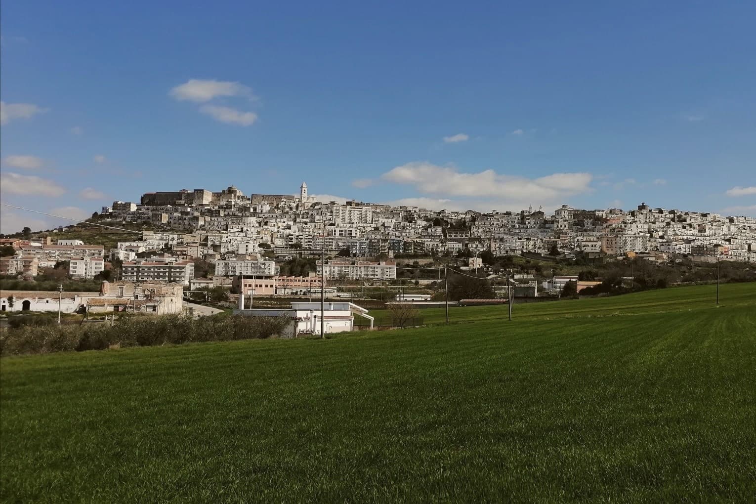
Why visit Minervino Murge
The town is built on two hills at the western edge of the Murgia plateau, where the limestone tableland gives out and the ground drops toward lower country on three sides. That break is what gives the ridge its long view and its nickname: to the east the eye crosses Murgia limestone toward the Gargano and the Adriatic, to the west it crosses cultivated fields into Basilicata, and to the north it runs the length of the Ofanto valley.
The old town sits above this drop, castle and tower on the high ground, cathedral below, the settlement organized around the same ridge that draws the view. Olive oil, almonds and grain define the rural economy beyond the walls, the plateau put to farming where it is not left to steppe grass and karst.
A ridge town, in other words, whose whole character, defensive site, pilgrimage cave, farmed hinterland, follows from the one geological fact of where the plateau ends.
La Tradizione - Cucina Casalinga, Masseria Barbera, A Sud dell'Anima have been named by a guide.
What to see in Minervino Murge
- Castello Normanno-Svevo. Norman fortress remodeled in the baronial period, with surviving towers and bastions on the high ridge above the old town.
- Torre di Pirro del Balzo. Fifteenth-century tower built between 1460 and 1490 when Minervino came to Pirro del Balzo as part of Maria Donata's dowry.
- Grotta di San Michele. Cave formed roughly two million years ago, reached through the karst rather than built, and still kept as a place of pilgrimage rather than display.
How to get to Minervino Murge
There is a railway station in the town, so you can arrive without a car and never need one while you are here. Foggia is roughly 62 minutes away by road.
Our tip
April through June and September through October are the months the Alta Murgia plateau runs best. The wildflower steppe peaks in May, almond blossom comes earlier in February, and the Ofanto valley below stays mild through autumn. July and August push past thirty-five degrees on the limestone with little shade; the centro storico empties between two and five and the panoramic belvedere is best at dawn or dusk.
Cassano delle Murge
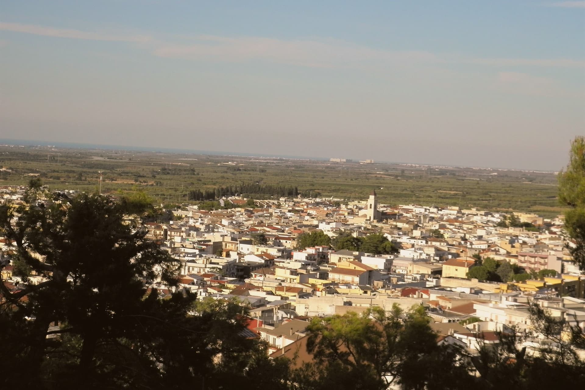
Why visit Cassano delle Murge
Cassano delle Murge sits at 341 meters at the foot of the highest step of the Murgia plateau, thirty kilometers south of Bari, at the eastern gate of the Alta Murgia National Park. The Foresta Mercadante, a 1,300-hectare pine and oak forest planted from 1928 onward to repair nineteenth-century deforestation that had flooded Bari several times, runs across the commune's higher ground, with 872 hectares inside Cassano and the rest in Altamura.
A menhir found in nearby caves dates settlement to 2500-2000 BC, and a fifth-century mosaic floor confirms continuous Roman-era occupation. The name first appears in a fourteenth-century document, derived from the Latin Cassius; the 'delle Murge' was added in 1863.
Roberto il Guiscardo donated the borough to the archbishopric of Bari in the eleventh century. The Santuario di Santa Maria degli Angeli, run by the Augustinian fathers, anchors the country edge of the village above a cave fresco of the Madonna.
What to see in Cassano delle Murge
- Foresta Mercadante. 1,300-hectare pine and oak forest planted from 1928 to repair nineteenth-century Murge deforestation, with 872 hectares inside Cassano, the rest in Altamura.
- Santuario di Santa Maria degli Angeli. Augustinian sanctuary on the country edge of the village, built around a cave fresco of the Madonna and tied to local apparition tradition.
- Chiesa di Santa Maria Assunta. Mother church rebuilt in 1858 on the remains of a fourteenth-century Romanesque church, preserving the original bell tower in the centro storico.
How to get to Cassano delle Murge
Bari is roughly 39 minutes away by road.
Our tip
April through June and September through October are the months the Murge foothills are mild and the Mercadante forest is at its best for walking. July and August reach the mid-thirties on the plateau, but Cassano's reputation as a stazione climatica rests on the cooling effect of the surrounding woods, six or seven degrees below the open Murgia in high summer. October is the olive and almond harvest.
Castellaneta
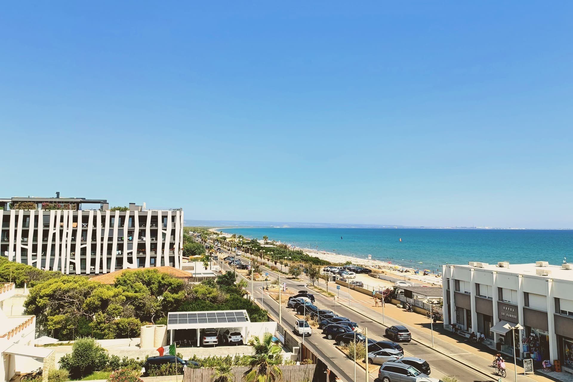
Why visit Castellaneta
Castellaneta sits on the Murge plateau at 235 meters, on the southern rim of the Gravina Grande, a karst canyon 10 kilometers long and 145 meters deep that wraps the town in near-vertical limestone walls. The municipal territory runs from the gravina down to the Ionian coast at Castellaneta Marina, fifteen kilometers south, where the long sand beach has held Bandiera Blu for ten consecutive years.
The cathedral was founded under the Normans in the eleventh century, rebuilt in Romanesque form in the fourteenth, and given its white limestone facade in 1771. The town is best known abroad as the birthplace of Rodolfo Valentino, born here on 6 May 1895 and reborn in Hollywood as Rudolph Valentino.
A blue ceramic statue of the actor by Luigi Gheno was unveiled in the centro storico in 1961, captured in the documentary Mondo Cane, and the Museo Rodolfo Valentino opened on the 1995 centenary.
What to see in Castellaneta
- Gravina Grande. Karst canyon ten kilometers long and 145 meters deep wrapping the town on three sides, part of the Terra delle Gravine regional park.
- Cattedrale di Santa Maria Assunta. Norman cathedral of the eleventh century rebuilt as a Romanesque basilica in the fourteenth and refaced in white limestone in 1771.
- Museo Rodolfo Valentino. Civic museum opened on the actor's 1995 centenary, with the ceramic statue by Luigi Gheno unveiled in 1961 standing in the square outside.
How to get to Castellaneta
There is a railway station in the town, so you can arrive without a car and never need one while you are here. Taranto is roughly 49 minutes away by road.
Our tip
April through June and September through October are the months the Murge is dry, mild, and the gravina edges walkable. July and August push past thirty-five degrees on the plateau and the centro storico empties in the afternoon, though Castellaneta Marina fills with Italian families and the beach is at its peak. The Festa di Santa Maria della Stella in May and the Carnevale procession through the centro storico are the civic anchors of the calendar. Sagra della Farnedd dei sapori di Puglia falls in August.
Gravina in Puglia
Why visit Gravina in Puglia
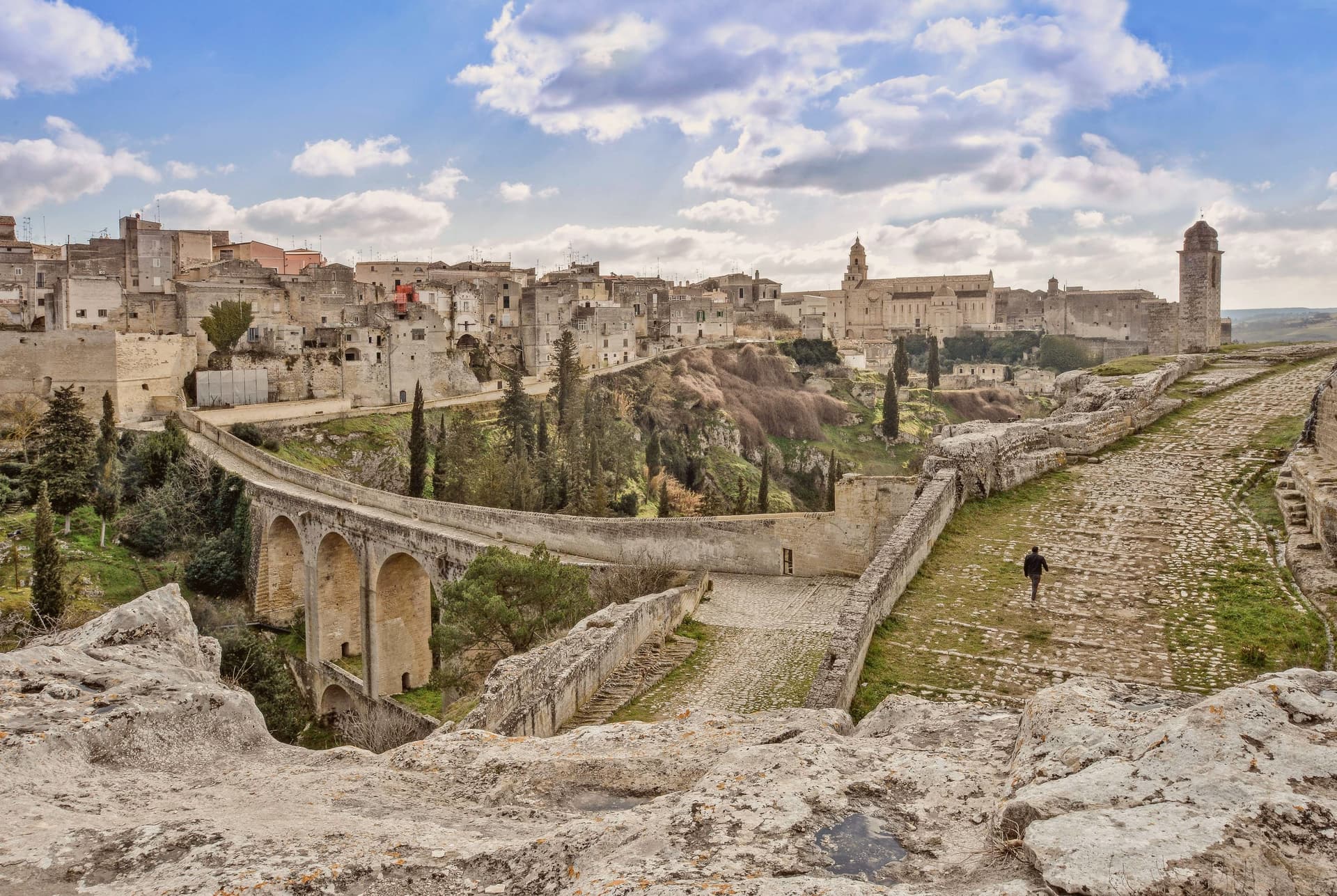
Gravina sits within the gravine, the network of limestone canyons cut across the Bari-Matera-Taranto karst plateau, the same geological system that produced Matera's Sassi 30 km west. This canyon is the deepest of them: 100m down, 350m wide at its narrowest, running straight through the centre of the modern town.
The plateau above holds the current population of 42,703; the old town clings to the cliff edge, its houses stacked against the same rock that the canyon walls below carry as a run of rupestrian churches and sanctuaries hollowed straight from the stone. The defining crossing of the two halves is the aqueduct bridge, built in the 18th century to bring water from the Murgia springs into the city and still walkable as a pedestrian route at 37m above the gorge floor.
On the canyon walls below it: a sanctuary carved into the rock, a church reached by a vertical stair and cut entirely into the cliff face, and a crypt complex holding frescoes from the 10th to 12th centuries, Byzantine work surviving in the dark of the rupestrian chambers. Above, on the plateau, the medieval centro takes over: the Cattedrale di Santa Maria Assunta, Romanesque and founded in 1092, holding its own Byzantine icon of the Madonna delle Grazie; the Castello Svevo rebuilt by Federico II; the Fondazione Ettore Pomarici Santomasi with its archaeological and Renaissance collections.
Gravina holds the Borghi più belli d'Italia designation together with Cittaslow, and lies on the Via Francigena, the branch tracing the old Via Appia route south, as well as bordering the Parco Nazionale dell'Alta Murgia, the karst plateau protected as national park immediately to the north. The food follows the same Murgia-Puglian line as the landscape: focaccia barese, orecchiette with cime di rapa, capocollo di Martina Franca, Primitivo di Manduria and the local Murgia DOC reds, built around the Festa di San Michele Arcangelo each September and the Carnevale Gravinese in late winter.
What Gravina adds up to is a town whose deepest cut in the earth doubles as its main street: canyon below carrying the sacred and the ancient, plateau above carrying the civic and the everyday, the two halves joined by a bridge built for water and now crossed for its own sake.
What to see in Gravina in Puglia
- Ponte Acquedotto (Bond's bridge). Crosses the gorge at 37m height on 18th-c stonework, a walkable pedestrian route today. This is the crossing James Bond takes by motorbike in the Matera chase sequence of No Time to Die.
- Chiesa di San Michele delle Grotte. A church carved entirely into the rock cliff of the gravina, reached by a vertical stair. The most striking of the canyon's rupestrian churches.
- Castello Svevo + Cattedrale. The castle sits on the plateau beside the Romanesque cathedral, founded 1092, which holds the Byzantine Madonna delle Grazie icon.
How to get to Gravina in Puglia
There is a railway station in the town, so you can arrive without a car and never need one while you are here. Bari is roughly 68 minutes away by road.
Our tip
Gravina in Puglia is best March–June and September–October — the Murgia summer is brutally hot (38°C+ inland) and the gorge becomes an oven. The Festa di San Michele Arcangelo 28-29 September is the year's headline. February-March brings the Carnevale Gravinese. Historia falls in September.
Matera
Why visit Matera
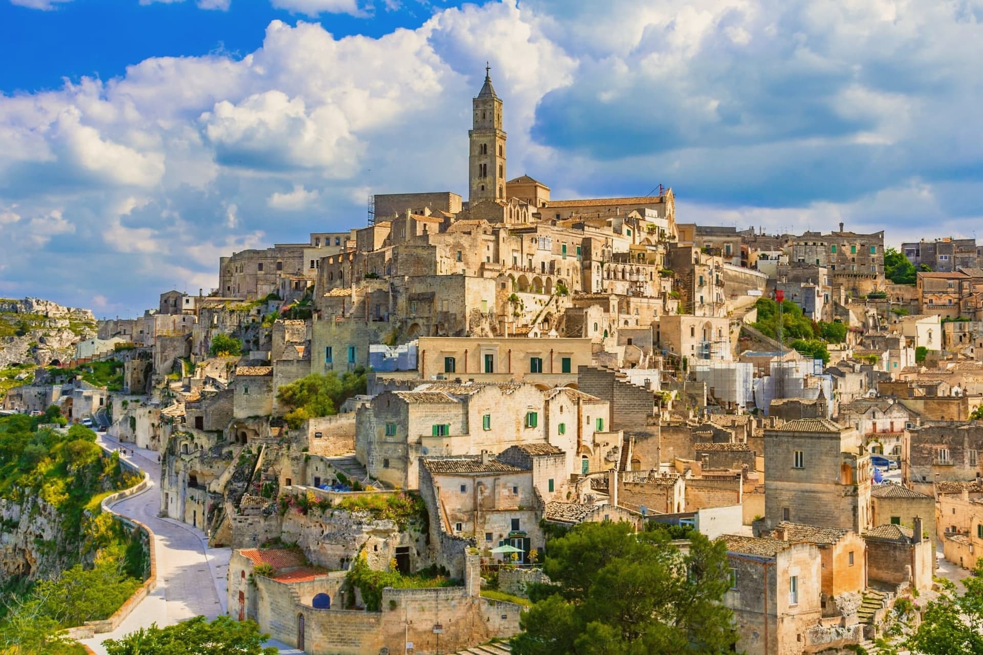
Matera sits at 401 meters on the edge of the Gravina ravine in eastern Basilicata, fifty-five kilometers inland from Bari. The Sassi, two districts of houses, churches and cisterns hollowed from tufa limestone, are among the oldest continuously inhabited settlements on earth, with traces of human presence from the Paleolithic.
Sasso Caveoso and Sasso Barisano dropped down the canyon walls; people lived there with their animals into the 1950s. Carlo Levi's 1945 book and the 1948 photographs that followed turned the Sassi into a national scandal, and a 1952 law moved twenty thousand residents to new housing on the plateau above.
The caves stayed empty for thirty years. UNESCO listed them in 1993.
Mel Gibson shot The Passion of the Christ here in 2004 and the city was European Capital of Culture in 2019; No Time to Die filmed in the Sassi in 2019, bringing twelve million euros into the local economy. Bread, ceramics, and rock churches across the Gravina anchor what is now Basilicata's only mass-tourism destination.
Vitantonio Lombardo, Baccanti, Dimora Ulmo and 9 more have been named by a guide.
What to see in Matera
- Sassi di Matera. Two districts of cave dwellings, Sasso Caveoso and Sasso Barisano, carved from tufa limestone and inhabited continuously from the Paleolithic until the 1950s evictions.
- Cattedrale della Madonna della Bruna e di Sant'Eustachio. Thirteenth-century Apulian Romanesque cathedral on the highest point of the Civita, between the two Sassi, with rose window and bell tower.
- Chiese rupestri del Parco della Murgia. More than 150 rock-cut churches scattered across the Gravina canyon, frescoed between the eighth and thirteenth centuries by Italo-Greek monks.
How to get to Matera
There is a railway station in the town, so you can arrive without a car and never need one while you are here. Bari is roughly 60 minutes away by road.
Our tip
April through June and September into October are the months Matera was built for. The light slants across the tufa façades in the late afternoon and turns the Sassi gold. July and August are punishing: temperatures cross thirty-five degrees and the canyon walls hold the heat past midnight, though hotels stay full because the Bond and Gibson tourism waves have not subsided. Festa della Bruna falls in July.
Andria
Why visit Andria
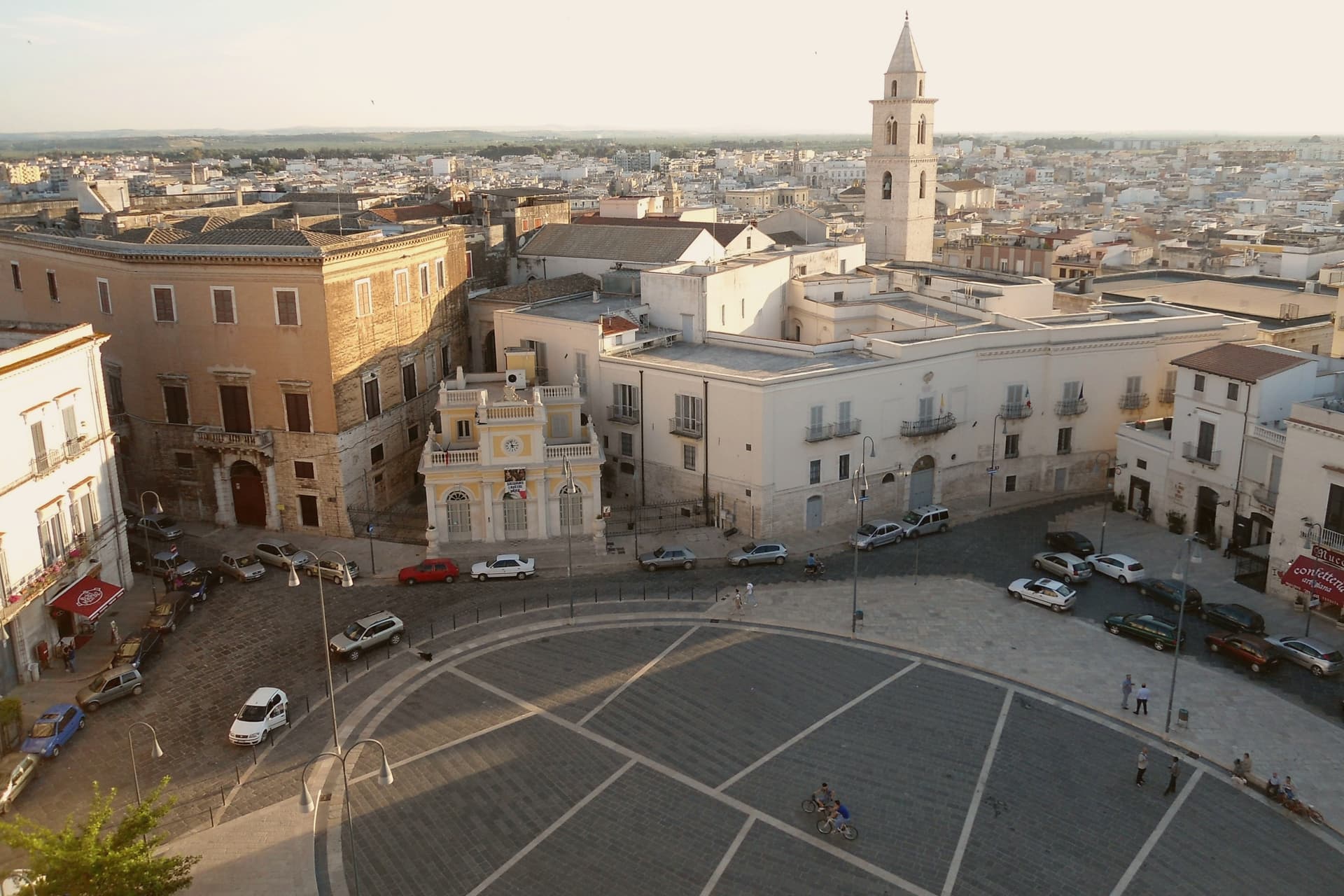
Andria sits on the Murge plateau at 151 meters, ten kilometers from the Adriatic, the third-largest city in Puglia after Bari and Taranto. It was made a fortified civitas in 1046 under Peter the Norman, with twelve towers, three gates and a citadel; Frederick II raised it again in the thirteenth century and built his most famous castle on a hilltop eighteen kilometers south of the city walls.
The city and Castel del Monte read as two expressions of the same Frederician ambition, one a working civitas of towers and gates, the other a solitary geometric exercise on an open plateau with no town around it at all. The other claim Andria makes is burrata, invented around the early twentieth century by the Bianchino family as a way to use leftover mozzarella scraps.
A fortified city, an unfinished castle, and a cheese born from kitchen thrift: the Murge produced a walled seat of power and, separately, an object meant to be looked at rather than defended, and a food born of nothing more than not wanting to waste the scraps.
Confetteria Mucci Giovanni con annesso Museo del Confetto, Antichi Sapori, Il Turacciolo have been named by a guide.
What to see in Andria
- Castel del Monte. An octagonal prism with eight octagonal towers, standing alone on a Murge hilltop and visible for fifty kilometers in any direction. Never finished, never used for war.
- Cattedrale di Santa Maria Assunta. Romanesque cathedral founded in the twelfth century, rebuilt over the centuries, holds the crypt and the relics of San Riccardo, the city's patron.
- Chiesa di Sant'Agostino. Gothic-Romanesque church built by the Teutonic Knights in the late thirteenth century, with a sculpted portal that is one of the finest in Puglia.
How to get to Andria
There is a railway station in the town, so you can arrive without a car and never need one while you are here. Bari is roughly 63 minutes away by road.
Our tip
April through June and September through October are the Murge months: clear light, mild evenings, the Castel del Monte plateau walkable without sweat. July and August hit thirty-six in the city and the castle exposed at 540 meters is brutal between noon and four. October is the olive harvest.
More from Anywhere Italy
- The best hill towns inside a national park in Puglia
 The best hill towns you can reach by train within 90 minutes of Bari
 The best olive oil towns that eat well within 90 minutes of Bari
 The best wine towns within two hours of Bari
- The best hill towns inside a nature park in Puglia
- The 10 best hill towns with a serious restaurant in Puglia