
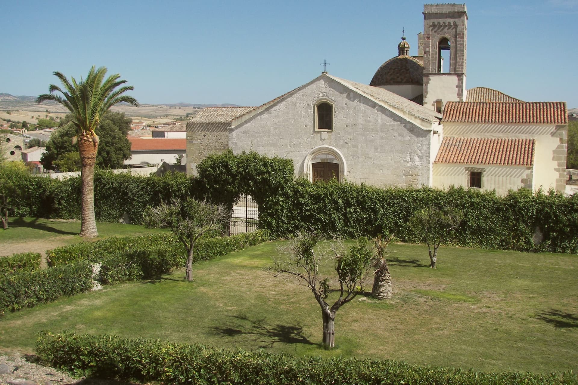
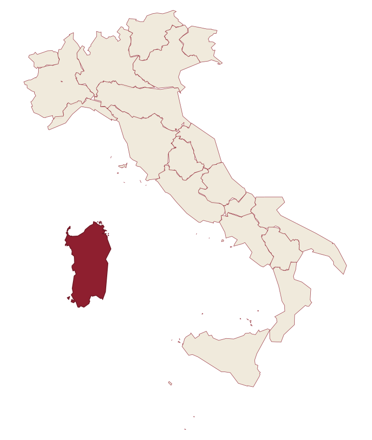
Sardinia · Sud Sardegna
Barumini
A Marmilla village whose nuraghe became Sardegna's first UNESCO site.
- Best time
- Apr–Jun, Sep–Nov
- By car
- 1 h 8 min from Cagliari
- By train
- Station in the comune
- Population
- 1,156
Known for
SU NURAXI
Sardegna's first UNESCO inscription, type example of Bronze Age nuragic architecture excavated by Giovanni Lilliu in the 1950s.
CAVALLINI DELLA GIARA
Wild horse population on the basalt plateau above the village, roughly 600 animals living free across the Giara di Gesturi.
CASA ZAPATA
Aragonese-Spanish noble house built on a second nuraghe, the Bronze Age stones still visible under the museum's glass floors.
When to visit
Best · Apr–Jun, Sep–Nov
- J13°
- F15°
- M16°
- A19°
- M24°
- J30°
- J35°
- A33°
- S28°
- O24°
- N18°
- D15°
- Best
- Hot or crowded
- Quiet
- Mostly closed
Daytime averages, 2020–2024. Weather data by Open-Meteo.com.
Why come
Barumini sits in the Marmilla, 55 kilometers north of Cagliari, on the plain at the foot of the Giara di Gesturi. About 1,150 people live here. The village would be a small inland farming town except for what sits half a kilometer outside it: a complex of huts grew around a citadel between roughly 1500 and 100 BC, and the surrounding well and towers are the most complete and most studied of their kind on the island, with no parallel elsewhere.
UNESCO inscribed the site in 1997, the first Sardinian entry on the World Heritage list. The plateau rises above the plain on the other side of the village, basalt ground where wild horses live free and seasonal ponds form after rain. The town itself sits between the two, the excavated citadel on one side and the plateau on the other, with the historic centre and its parish church holding the space in between. What the visitor finds at Barumini, then, is a small farming village whose ordinary footprint is bracketed by two much older and wilder things, one built up over centuries of the Bronze Age and long buried, the other still grazing above it.
The Sunday letter
Barumini is on our list. Its letter is still to come.
We are writing about all 1,000 of these towns, one at a time, in a free letter every Sunday: the photo, the food, the festa. That is our mission. Sign up and you will be there when Barumini comes up. By Peter & Sophia, from Pietrasanta.
Read on
Barumini in our articles
 The best towns you can reach by train within two hours of Cagliari6 towns, Barumini among them.
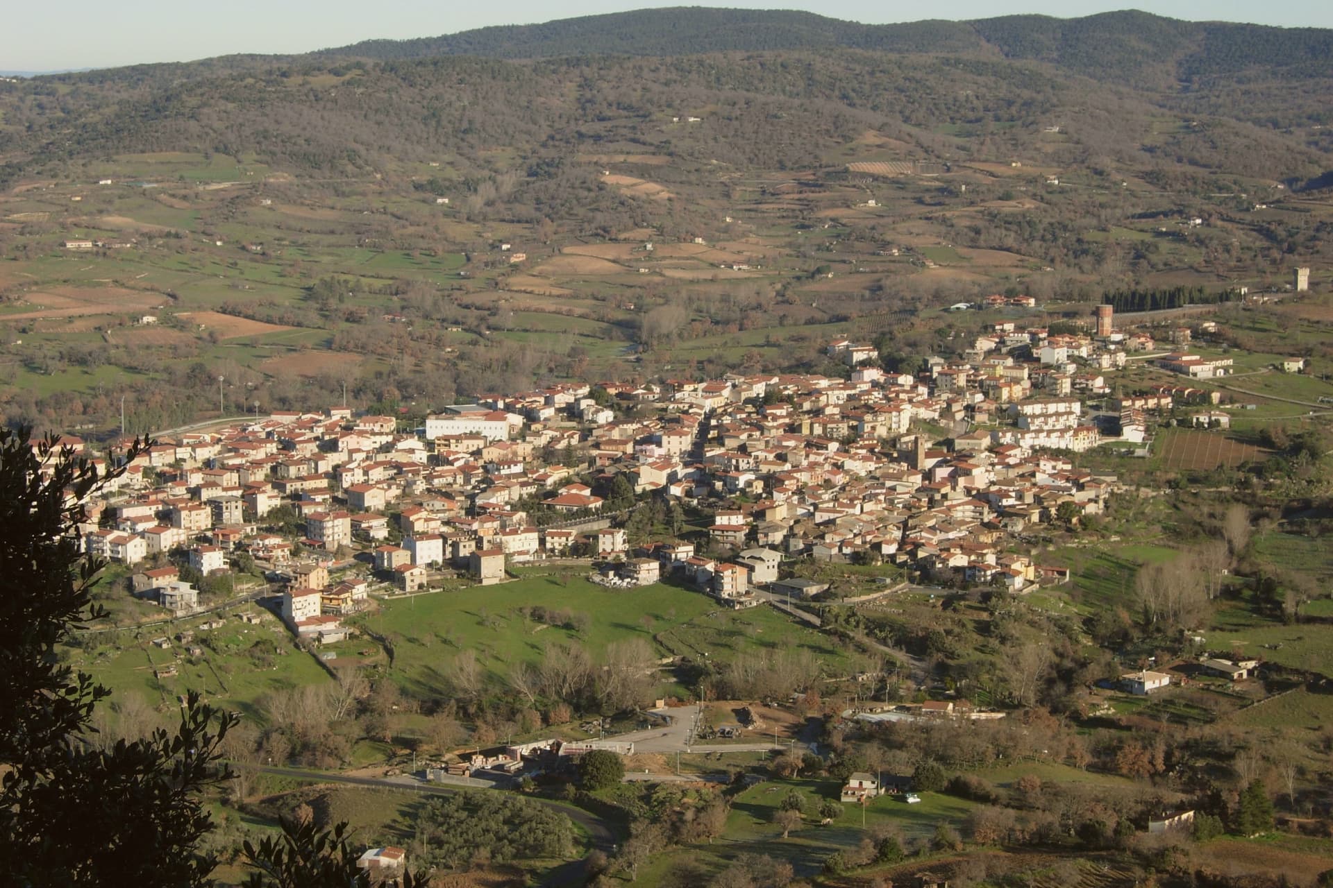 The best hill towns within two hours of Cagliari8 towns, Barumini among them.
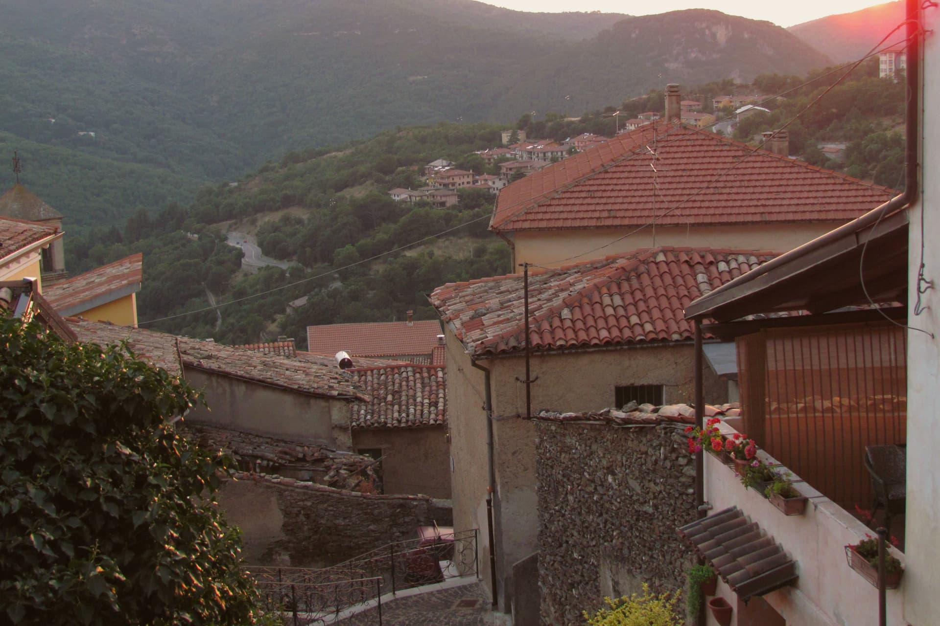 The best hidden towns you can reach by train in Sardegna9 towns, Barumini among them.
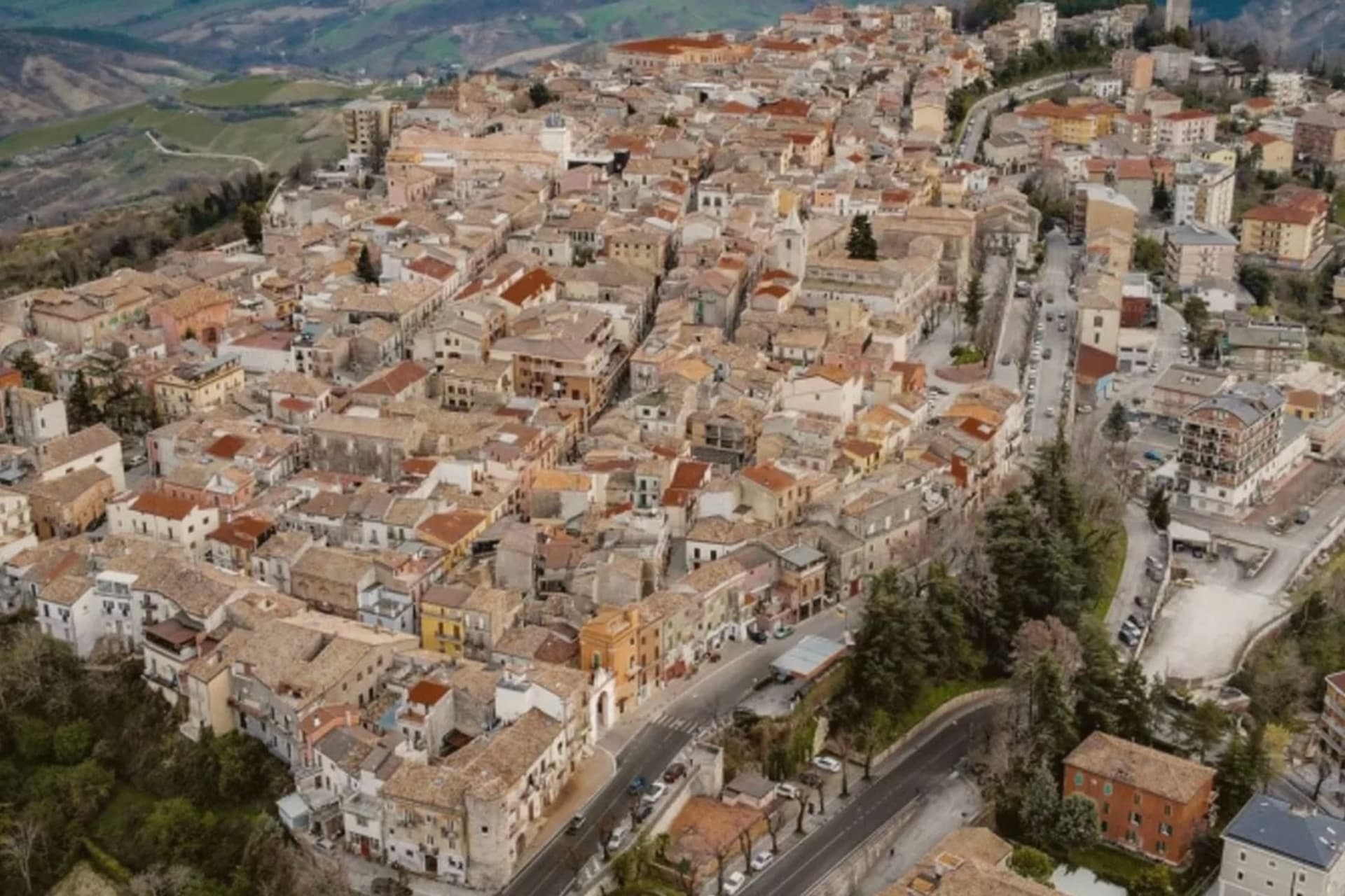 Every town in our catalogue you can reach by train, all of them, by region452 towns, Barumini among them.
How to get there
From Cagliari (CAG), about 1h 22m by car.
There is a railway station in the comune, so you can arrive without a car.
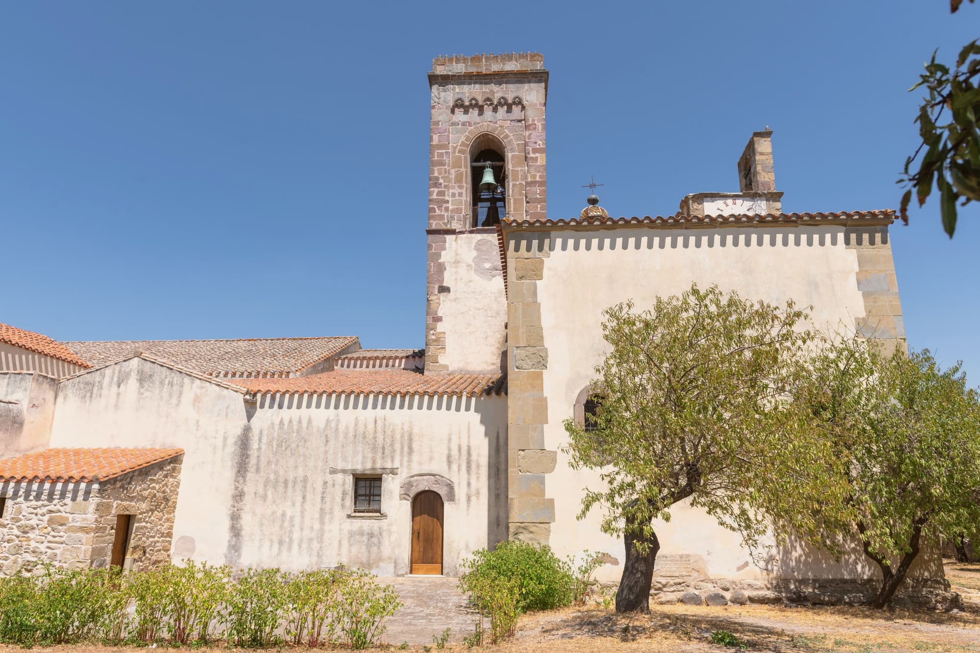
Coming by train into Cagliari? Barumini is about 1 hour away by road.
What to see
Su Nuraxi di Barumini
18-meter central tower with four bastions and a surrounding village of huts, set half a kilometer outside the town on the open plain.
Casa Zapata
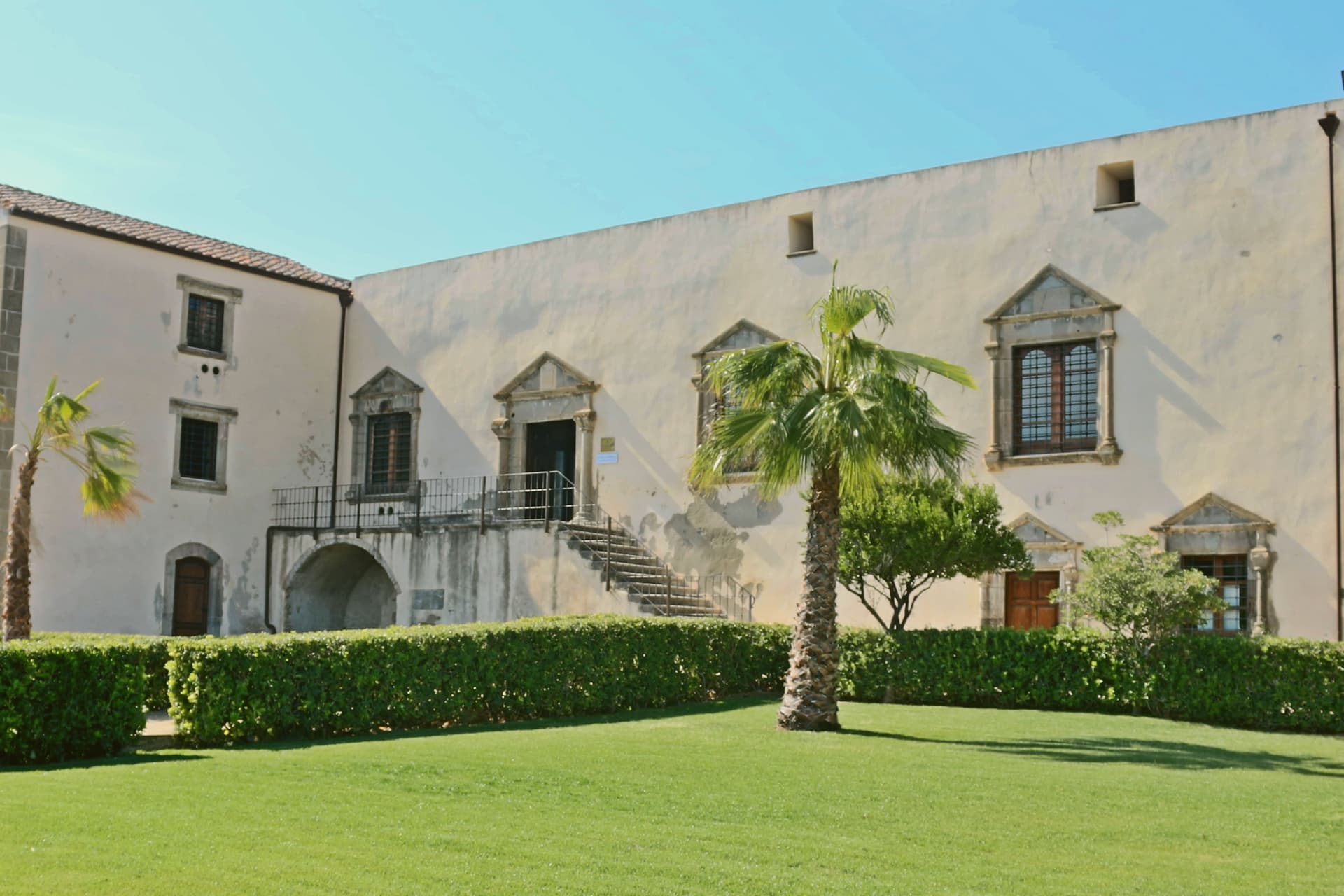
Spanish-era noble residence built over a second nuraghe, the underlying tower visible under glass floors of the museum.
Giara di Gesturi
Basalt plateau above the village at 500-600 meters, home to wild horses and seasonal paulis ponds.
Centro Giovanni Lilliu
Visitor and research centre at the entrance to the archaeological park, named for the archaeologist who led the 1950s excavations.
Chiesa dell'Immacolata Concezione
Parish church of the village, the main religious building in the historic centre at the foot of the plateau.
The slow-trip planner
Building a trip? Find where Barumini fits in a slow Italy circuit.
Answer five questions. We will shape a geographically coherent slow trip from the 1,000 Italian towns most travelers skip. Yours to save and share.
Living here
- Population 1,156
- In-betweeni
- Pharmacy in town
- High school within a 30-minute drive
- Train station in the comune
- Nearest airport Cagliari, 1 h 22 min drive
- Regional capital Cagliari, 1 h 9 min drive
Common questions
- What is Barumini known for?
- Barumini is a Marmilla village whose nuraghe became Sardegna's first UNESCO site.
- Where is Barumini?
- Barumini is a comune in the province of Sud Sardegna, in Sardinia, at 202 meters above sea level.
- What is the nearest airport to Barumini?
- Cagliari (CAG), about 1h 22m by car.
- Can you get to Barumini without a car?
- Yes. There is a railway station in the comune, so you can arrive by train.
- When is the best time to visit Barumini?
- Best in Apr–Jun, Sep–Nov. July is the warmest month, averaging 35 degrees, and November the wettest, with about 11 rain days.
- Which other towns are like Barumini?
- Aggius, Orroli and Santu Lussurgiu.
- How many people live in Barumini?
- 1,156 at the 2023 count.
Tags & datadesignations · numbers · sources
Recognised as
The numbers
- Elevation: 202 m
- Population: 1,156
- Surface area: 26.4 km²
These figures were compiled from public directories: ISTAT, OpenStreetMap and Wikidata, and from the official listings of the guides named on this page. Town details change; verify with official sources before you travel.
Similar
Towns like Barumini
Aggius
Province: Sassari
both inland in Sardinia · both under 3,000 people
Orroli
Province: Sud Sardegna
both inland in Sardinia · both under 3,000 people
Santu Lussurgiu
Province: Oristano
both inland in Sardinia · both under 3,000 people
Seneghe
Province: Oristano
both inland in Sardinia · both under 3,000 people
Orta San Giulio
Province: Novara
both under 3,000 people · both hill towns
Venzone
Province: Udine
both under 3,000 people · both hill towns
🏛️ UNESCO
More UNESCO towns
Matera
Province: Matera
Cave dwellings carved into limestone since the Paleolithic, called the shame of Italy in the 1950s and made European Capital of Culture in 2019.
Amalfi
Province: Salerno
The first Italian maritime republic and the coast it named, six meters above the sea between cliffs that close around the duomo's steps.
Ascea
Province: Salerno
Two villages, a hilltown at 230 meters and a Cilento marina, with Parmenides and Zeno's Eleatic school in the ruins of Greek Velia below.
Atrani
Province: Salerno
The smallest commune in Italy by area, twelve hectares of stacked houses where the Amalfi Coast pinches shut around a single piazza.
Benevento
Province: Benevento
Sannio capital at the Calore-Sabato confluence, with a 114 AD Trajan arch and a Lombard rotunda on the UNESCO list.