
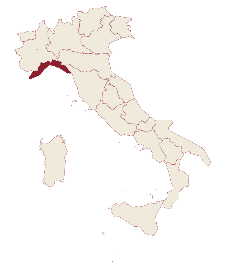
Liguria · Genova
Santo Stefano d'Aveto
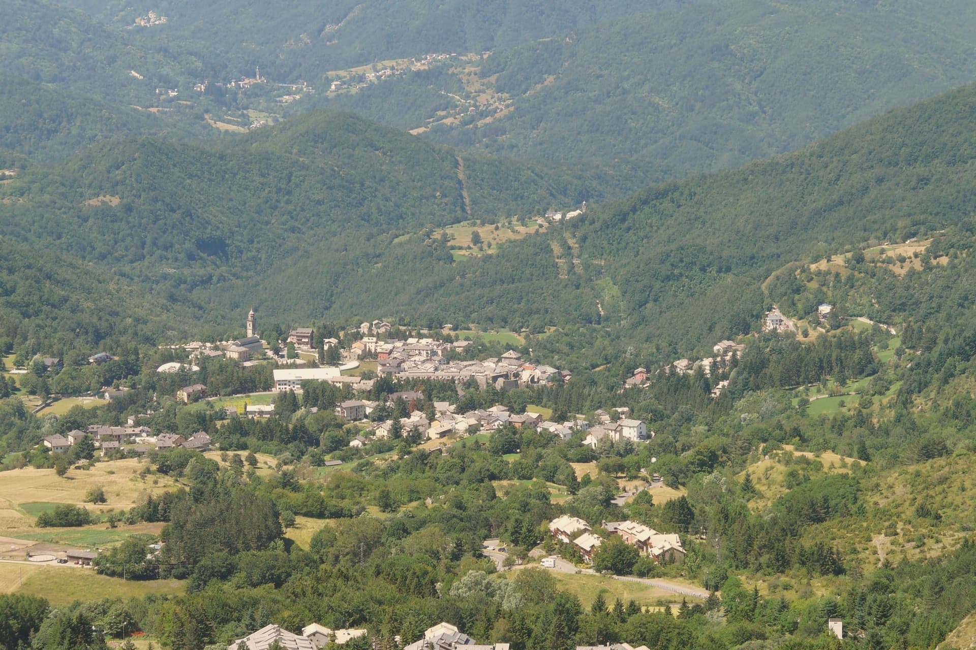
Liguria's highest commune, set in the Ligurian-Emilian Apennines with a Malaspina-Doria castle and the region's only ski resort.
- Best time
- Jun–Sep, Dec–Mar
- By car
- 1 h 21 min from Genoa
- Population
- 998
Known for
LIGURIA'S HIGHEST
At 1,012 meters, the highest commune in Liguria, with the only ski area in the region and the highest slope at 1,774 meters on Monte Bue.
MALASPINA-DORIA CASTLE
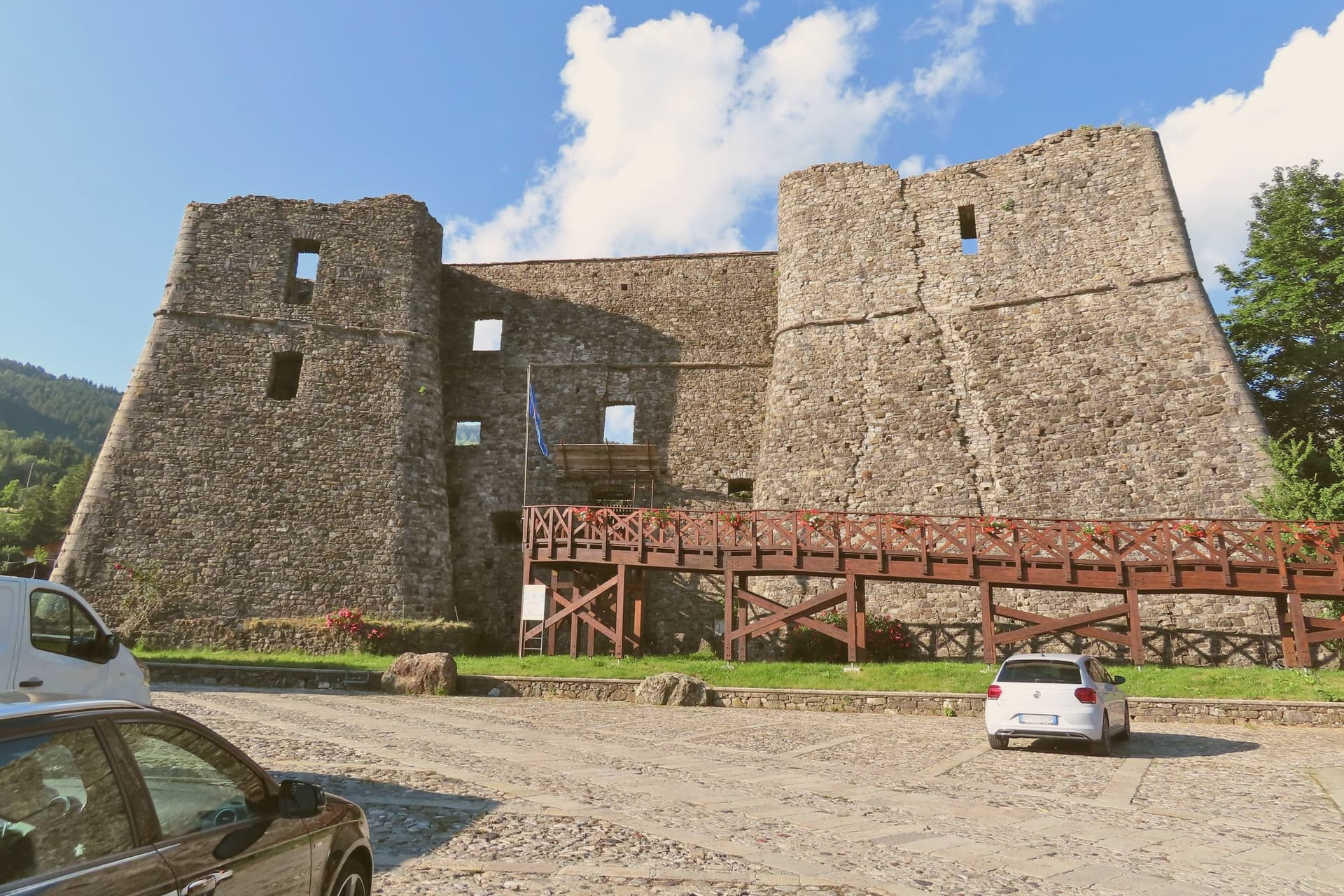
Thirteenth-century Malaspina fortress that passed to the Doria, who held the fief and rebuilt the structure until 1797.
MADONNA DI GUADALUPE
Parish-church painting of the Mexican Madonna donated by Cardinal Giuseppe Doria in 1814, with a bronze medallion of Columbus on the main door.
When to visit
Best · Jun–Sep, Dec–Mar
- J5°
- F8°
- M9°
- A11°
- M15°
- J20°
- J23°
- A23°
- S19°
- O15°
- N9°
- D6°
- Best
- Hot or crowded
- Quiet
- Mostly closed
Daytime averages, 2020–2024. Weather data by Open-Meteo.com.
The festa: Nostra Signora di Guadalupe, 12 December
Why come
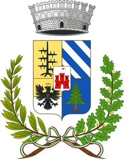
The Upper Val d'Aveto sits forty-five kilometers from Genova, on the border with the provinces of Parma, Piacenza and La Spezia, a position that puts the commune closer to Emilian territory than to the Ligurian coast. Frederick Barbarossa granted the fief to the Malaspina in the twelfth century. It later passed to the Fieschi and then to the Doria, a succession that left its mark in the layered stonework of the castle rising off the central piazza and in the church furnishings donated generations later by a member of the same Doria line.
The town's two halves work on different clocks: the historic center, built around the castle and the piazza, and the higher ground toward the peaks above the valley, given over to the ski area in winter and to the reservoir at Giacopiane in the warmer months. A commune this high, on a border this far inland, ends up organized less around a single center than around the alternation of the seasons that use its slopes and its lake in turn.
The Sunday letter
Santo Stefano d'Aveto is on our list. Its letter is still to come.
We are writing about all 1,000 of these towns, one at a time, in a free letter every Sunday: the photo, the food, the festa. That is our mission. Sign up and you will be there when Santo Stefano d'Aveto comes up. By Peter & Sophia, from Pietrasanta.
Read on
Santo Stefano d'Aveto in our articles
 The 6 best towns inside a nature park in the province of Genova6 towns, Santo Stefano d'Aveto among them.
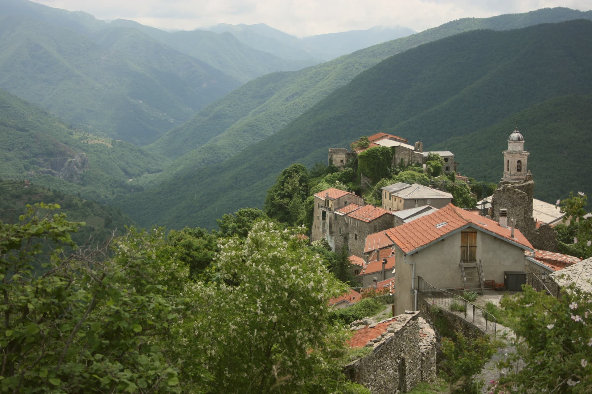 Balcony towns: high villages above the Ligurian sea10 towns, Santo Stefano d'Aveto among them.
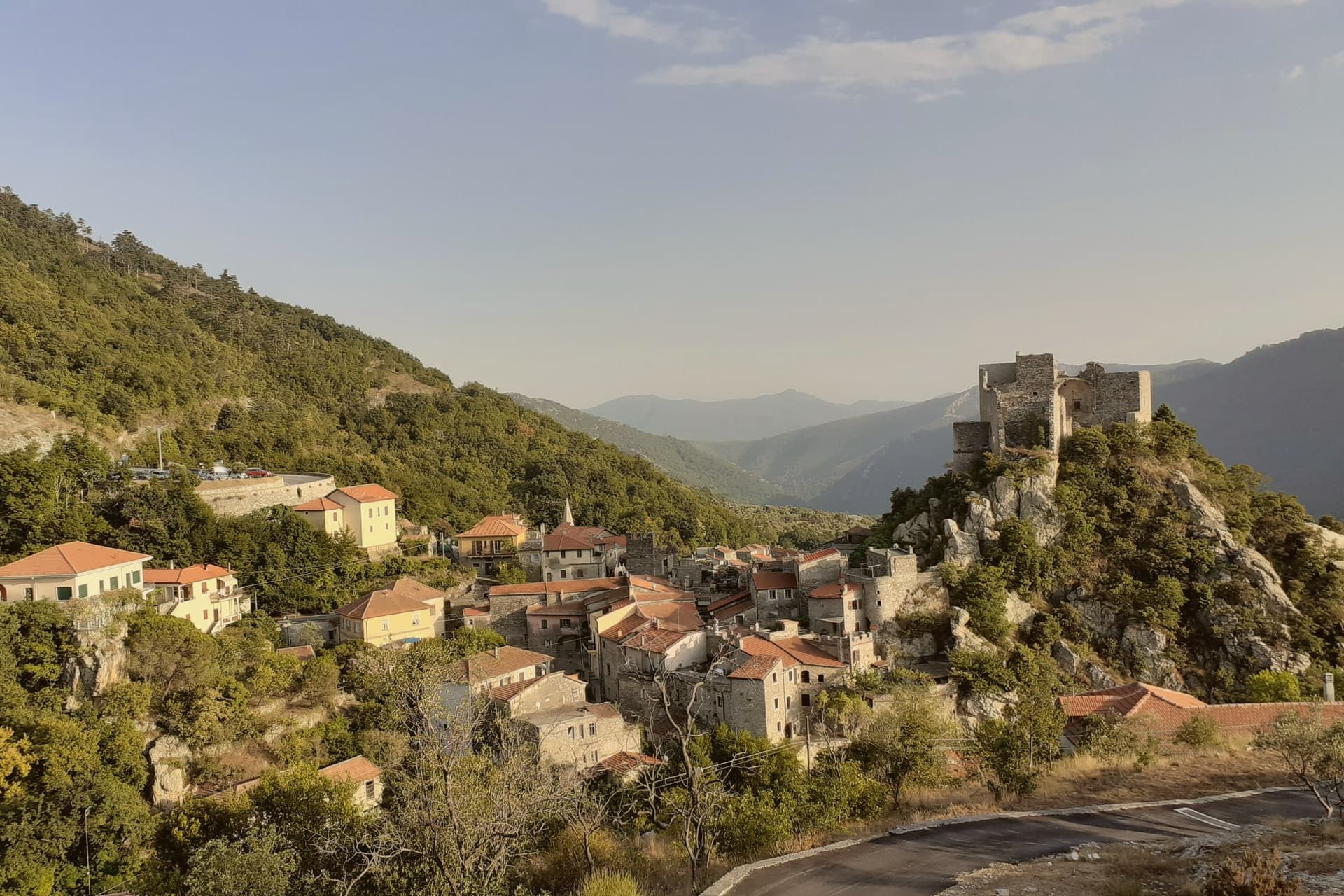 The 10 smallest villages in Liguria10 towns, Santo Stefano d'Aveto among them.
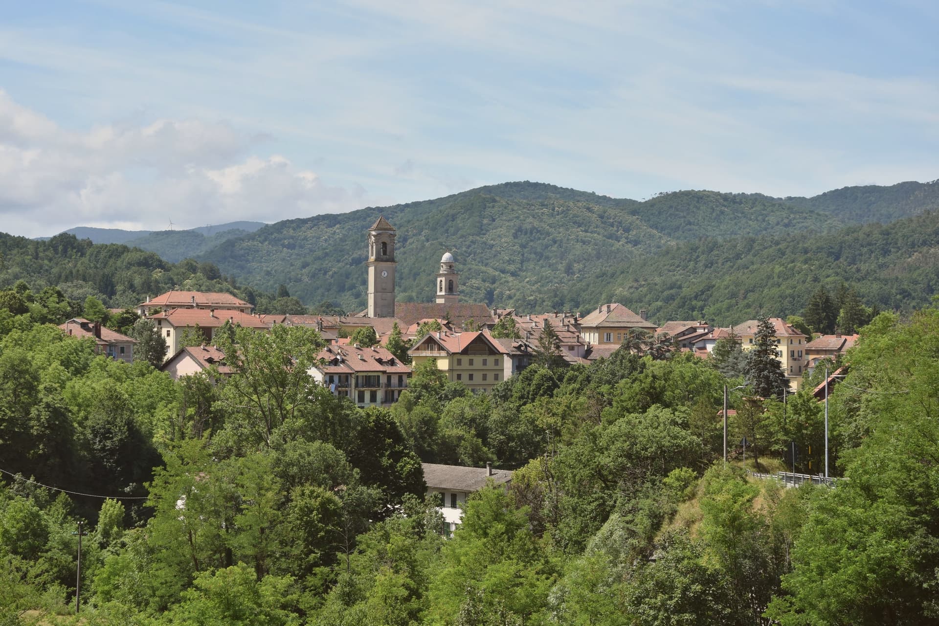 The best small towns inside a nature park in Liguria10 towns, Santo Stefano d'Aveto among them.
How to get there
From Genoa (GOA), about 1h 34m by car.
Florence / Pisa (PSA) is about 2h 29m away.
By car from the centre of Parma 2h 9m or Pisa 2h 20m.
Coming by train into Genova Piazza Principe? Santo Stefano d'Aveto is about 1h 27m away by road.
What to see
Castello Malaspina-Doria
Fortress on an irregular polygonal base off the central piazza. The walls still show the outline of successive rebuildings by the families who held the fief.
Santuario della Madonna di Guadalupe
Parish church built around the donated painting and the door medallion, a small pilgrimage point folded into the ordinary fabric of the town center.
Monte Bue ski area
Two new chairlifts carry skiers up the slope, the only lift-served skiing in the region and a rare winter draw at this elevation.
Lago di Giacopiane
Reservoir at 1,200 meters surrounded by coniferous woods, a summer destination for walking, fishing and birdwatching.
Monte Maggiorasca
1,799-meter peak above the town, the highest in Liguria and the geographical anchor of the ski area.
The slow-trip planner
Building a trip? Find where Santo Stefano d'Aveto fits in a slow Italy circuit.
Answer five questions. We will shape a geographically coherent slow trip from the 1,000 Italian towns most travelers skip. Yours to save and share.
Through the year
What happens here
Feasts and festivals that come back year after year. We give the month rather than the date, because the date moves and the month rarely does. Check with the source before you plan a journey around one.
Arte e Gusto Mercatini a Santo Stefano d'Avetomarket
usually held between July and September. eventiesagre.it
Focaccia in Contrada a Santo Stefano d'Avetofood festival
usually held in August. MangiareInLiguria - Sagre ed Eventi
Mercatino Dell'antiquariatomarket
usually held in August. eventiesagre.it
Festa dell'agricoltura e dell'artigianatopatron saint's feast
usually held in September. eventiesagre.it
Living here
- Population 998
- Very remotei
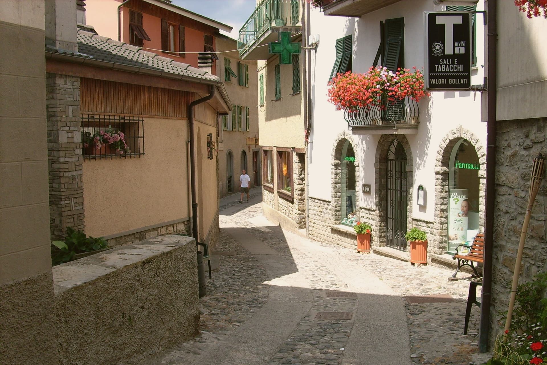
- Pharmacy in town
- High school within a 30-minute drive
- Nearest airport Genoa, 1 h 34 min drive
- Regional capital Genova, 1 h 21 min drive
Common questions
- What is Santo Stefano d'Aveto known for?
- Liguria's highest commune, set in the Ligurian-Emilian Apennines with a Malaspina-Doria castle and the region's only ski resort.
- Where is Santo Stefano d'Aveto?
- Santo Stefano d'Aveto is a comune in the province of Genova, in Liguria, at 1012 meters above sea level.
- What is the nearest airport to Santo Stefano d'Aveto?
- Genoa (GOA), about 1h 34m by car.
- How long is the drive from Parma to Santo Stefano d'Aveto?
- About 2h 9m by car.
- When is the best time to visit Santo Stefano d'Aveto?
- Best in Jun–Sep, Dec–Mar. August is the warmest month, averaging 23 degrees, and May the wettest, with about 19 rain days.
- Is there a sagra or a festival in Santo Stefano d'Aveto?
- Yes. Arte e Gusto Mercatini a Santo Stefano d'Aveto, Focaccia in Contrada a Santo Stefano d'Aveto and Mercatino Dell'antiquariato, and 1 more we hold a source for. July is when the first of them falls.
- Which other towns are like Santo Stefano d'Aveto?
- Ossana, Barrea and Scontrone.
- How many people live in Santo Stefano d'Aveto?
- 998 at the 2023 count.
Tags & datadesignations · numbers · sources
Recognised as
The numbers
- Elevation: 1012 m
- Population: 998
- Surface area: 54.78 km²
These figures were compiled from public directories: ISTAT, OpenStreetMap and Wikidata, and from the official listings of the guides named on this page. Town details change; verify with official sources before you travel.
Similar
Towns like Santo Stefano d'Aveto
Ossana
Province: Trento
both high in the mountains · both under 1,000 people
Barrea
Province: L'Aquila
both high in the mountains · both under 1,000 people
Scontrone
Province: L'Aquila
both high in the mountains · both under 1,000 people
Alagna Valsesia
Province: Vercelli
both high in the mountains · both under 1,000 people
Alessandria del Carretto
Province: Cosenza
both high in the mountains · both under 1,000 people
Rivisondoli
Province: L'Aquila
both high in the mountains · both under 1,000 people
🟠 Bandiera Arancione
More Bandiera Arancione towns in Liguria
Apricale
Province: Imperia
A medieval hill village in the Nervia Valley, named for the Latin apricus, sunny, with a tenth-century castle shaped like a lizard on the rock.
Badalucco
Province: Imperia
A medieval village wrapped in a bend of the Argentina torrent, with murals on its caruggi and a Slow Food bean on its terraces.
Brugnato
Province: La Spezia
The medieval ecclesiastical capital of an inland Ligurian valley, seat of a diocese from 1133 to 1820, with a co-cathedral built over a Columban monastery.
Castelnuovo Magra
Province: La Spezia
A ridge village on the Liguria-Tuscany border where a marquisate treaty ended decades of conflict with the bishops of Luni.
Castelvecchio di Rocca Barbena
Province: Savona
A stone village of 130 residents at 420 meters, built into the southern foot of a 1,142-meter limestone outcrop.