
Lombardy · Varese
Porto Ceresio
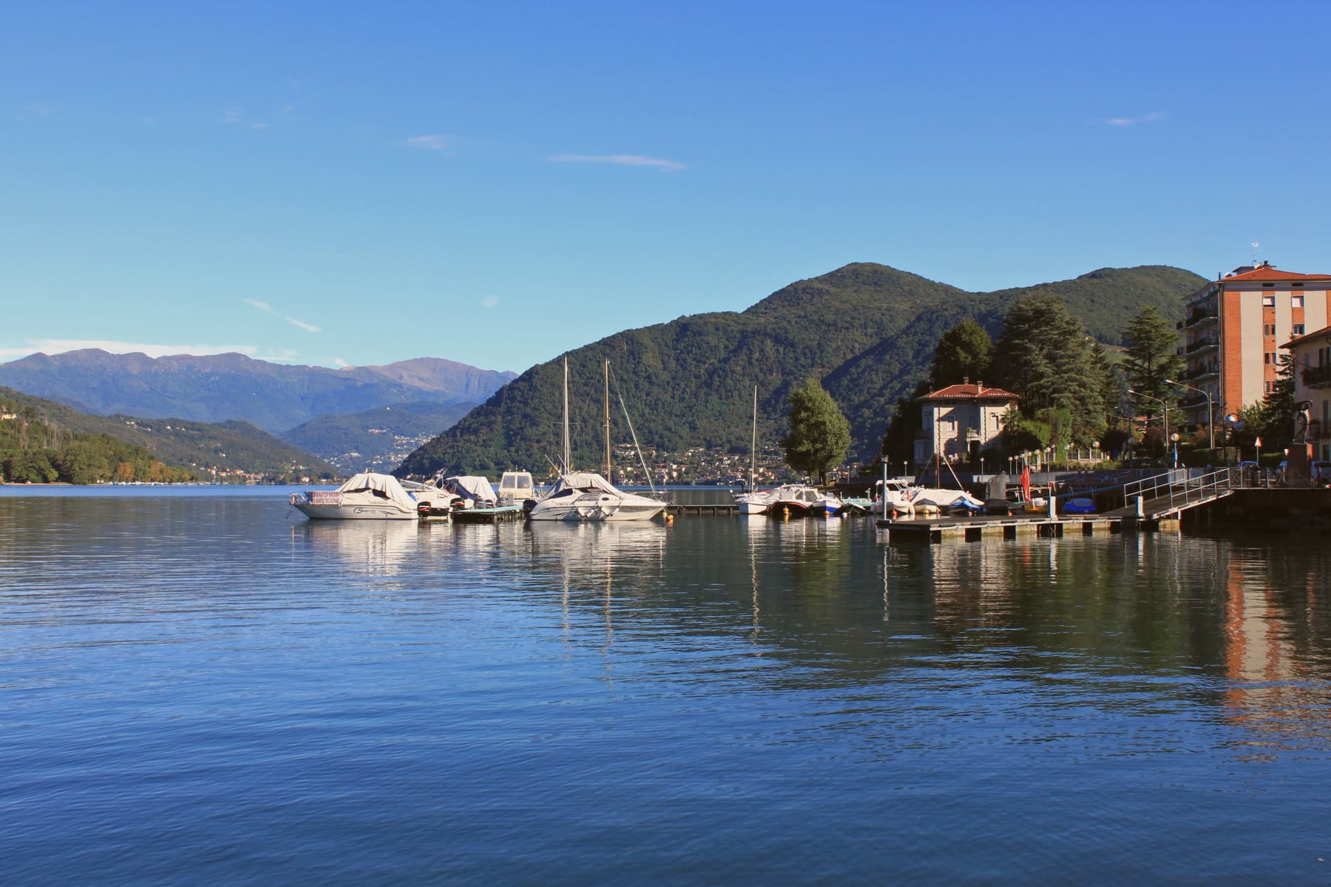
The Italian port on the southern shore where the Swiss border runs through the water below Monte San Giorgio.
- Best time
- Apr–Oct
- By car
- 1 h 6 min from Milan
- By train
- Station in the comune
- Population
- 2,854
Known for
MONTE SAN GIORGIO
UNESCO World Heritage fossil mountain, 240 million years old, extended to include Porto Ceresio in 2010.
LAKE LUGANO
Italian port at the southern end of the Swiss-Italian lake, with ferries running to Lugano and Morcote.
ELECTRIC RAILWAY
The line from Varese to the lake was the first electric railway in Italy, opened in the early twentieth century.
When to visit
Best · Apr–Oct
- J9°
- F12°
- M13°
- A17°
- M21°
- J26°
- J28°
- A28°
- S23°
- O18°
- N13°
- D9°
- Best
- Hot or crowded
- Quiet
- Mostly closed
Daytime averages, 2020–2024. Weather data by Open-Meteo.com.
Why come
Porto Ceresio sits on the south shore, 11 kilometers northeast of Varese and directly on the Swiss frontier. The lake is also called Ceresio, named for the cherry trees that once lined its banks. Boats run from the pier across to Lugano and Morcote in Canton Ticino, and an electric railway from Varese, the first in Italy, reached the lake in the early twentieth century.
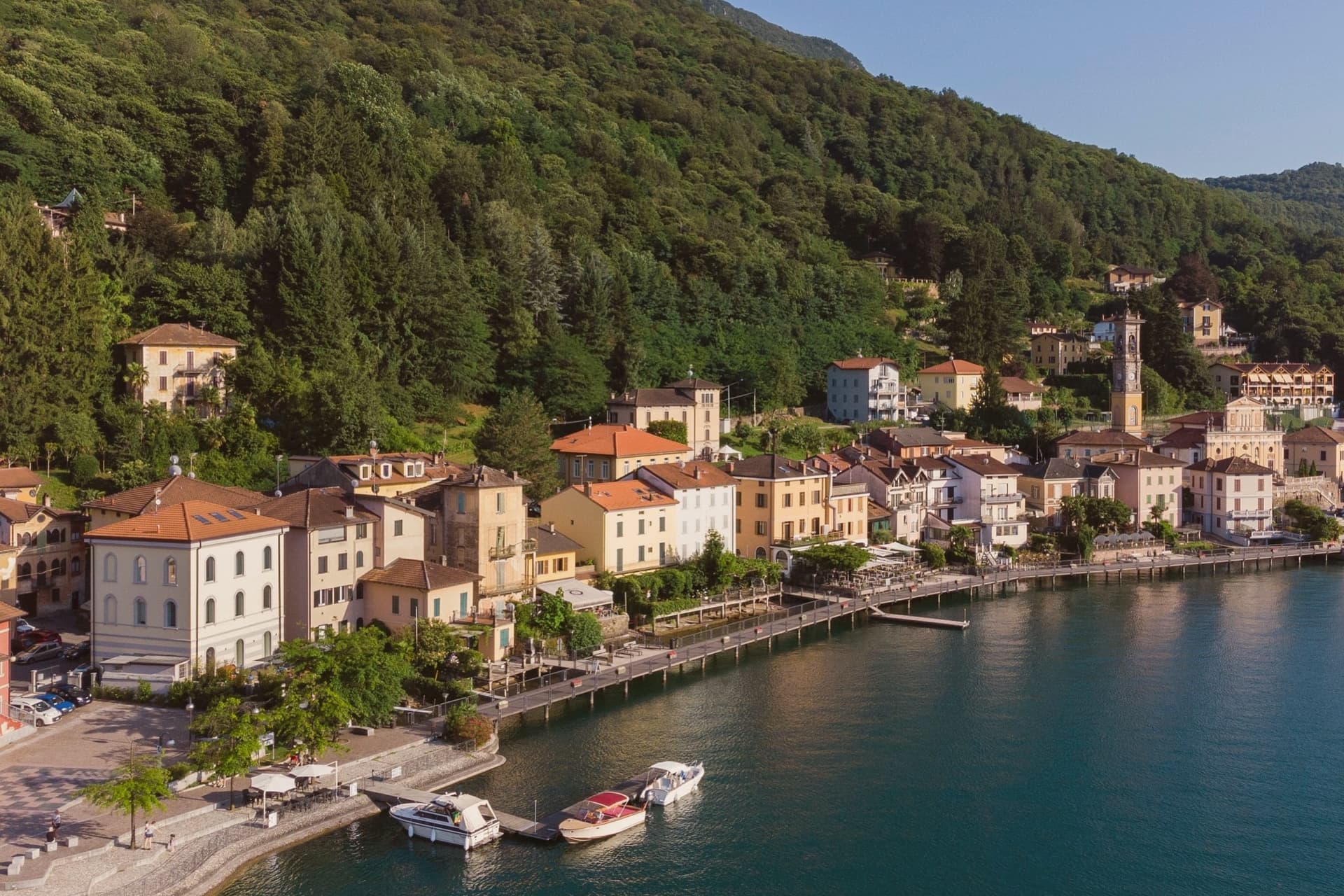
The mountain behind the town covers a tropical sea floor from 240 million years ago, and the 2010 UNESCO extension tied Porto Ceresio to Besano and Viggiù and to the original Swiss site across the water. The lakefront promenade, with its colored houses, sits between that green mountain slope and the lake itself, looking straight across to the Swiss shore. The town reads as a hinge point: a rail line built to reach the water, a pier built to cross it, and a mountain behind that turns the crossing into a border between two countries and two geological eras.
The Sunday letter
Porto Ceresio is on our list. Its letter is still to come.
We are writing about all 1,000 of these towns, one at a time, in a free letter every Sunday: the photo, the food, the festa. That is our mission. Sign up and you will be there when Porto Ceresio comes up. By Peter & Sophia, from Pietrasanta.
Read on
Porto Ceresio in our articles
 The best cheese towns within 90 minutes of Milan6 towns, Porto Ceresio among them.
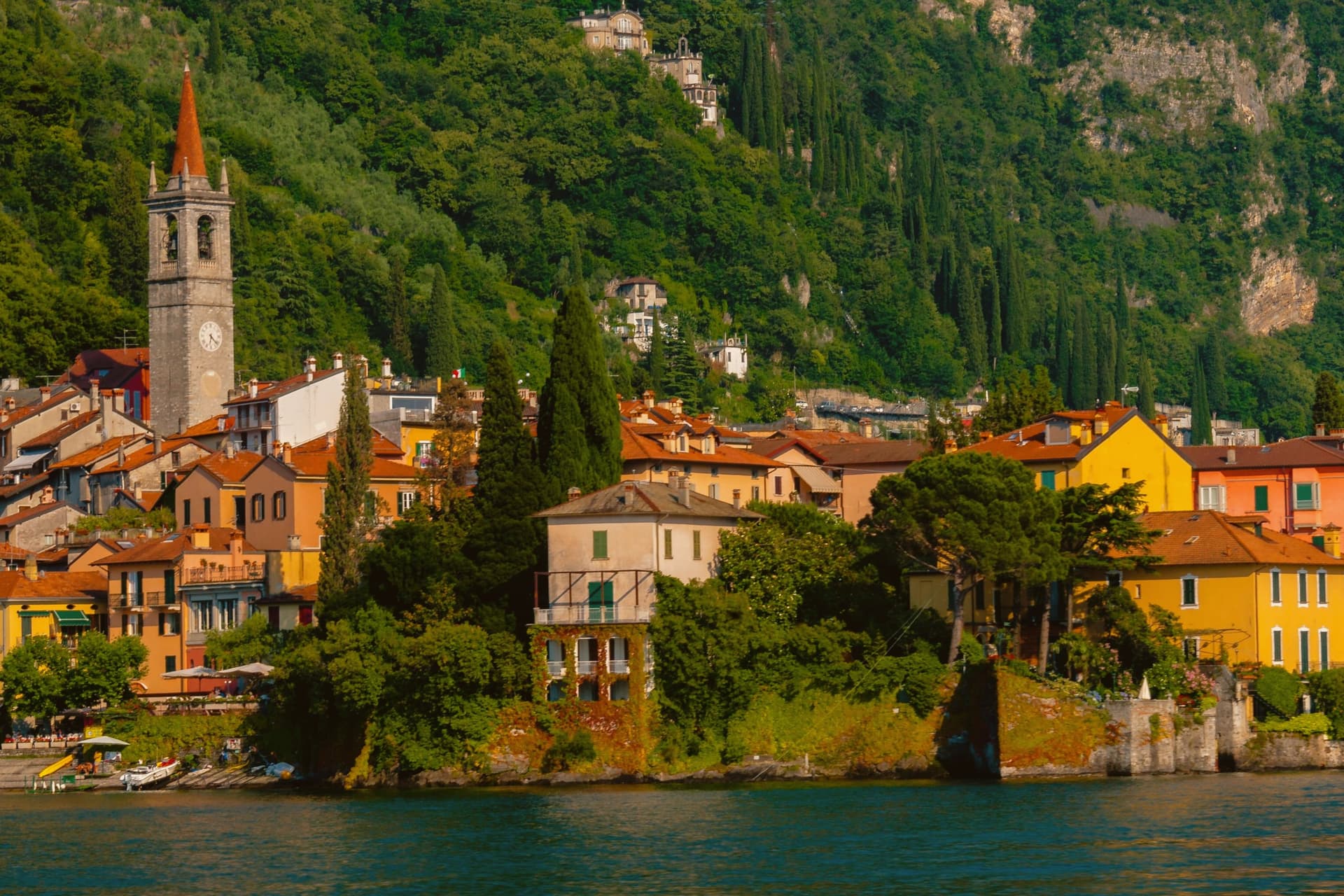 The best small lake towns you can reach by train in Lombardia6 towns, Porto Ceresio among them.
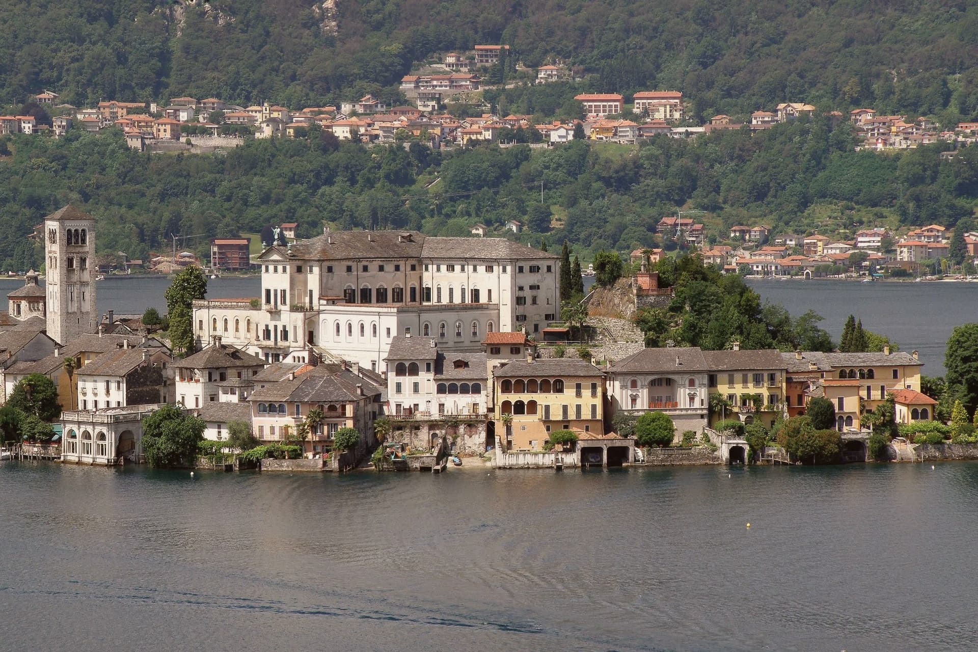 The best towns with a World Heritage site within 90 minutes of Milan6 towns, Porto Ceresio among them.
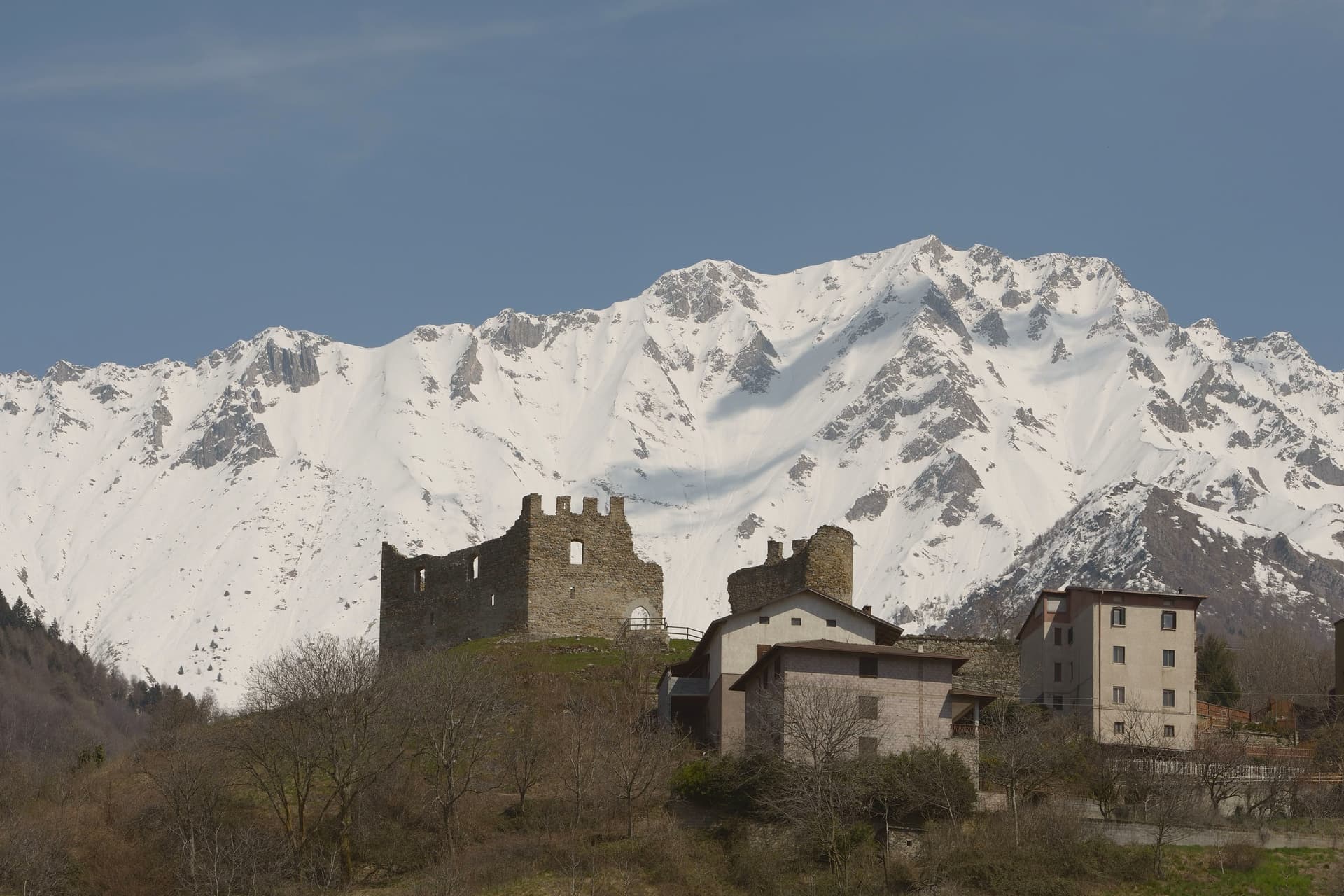 The best towns with a World Heritage site in Lombardia8 towns, Porto Ceresio among them.
How to get there
From Milan (BGY), about 1h 34m by car.
Turin (TRN) is about 2 hours away.
By car from the centre of Brescia 2 hours.
There is a railway station in the comune, so you can arrive without a car.
Coming by train into Milano Centrale? Porto Ceresio is about 1 hour away by road.
What to see
Lungolago di Porto Ceresio
Lakefront promenade with the ferry pier and the colored houses that face Lake Lugano and the Swiss shore opposite.
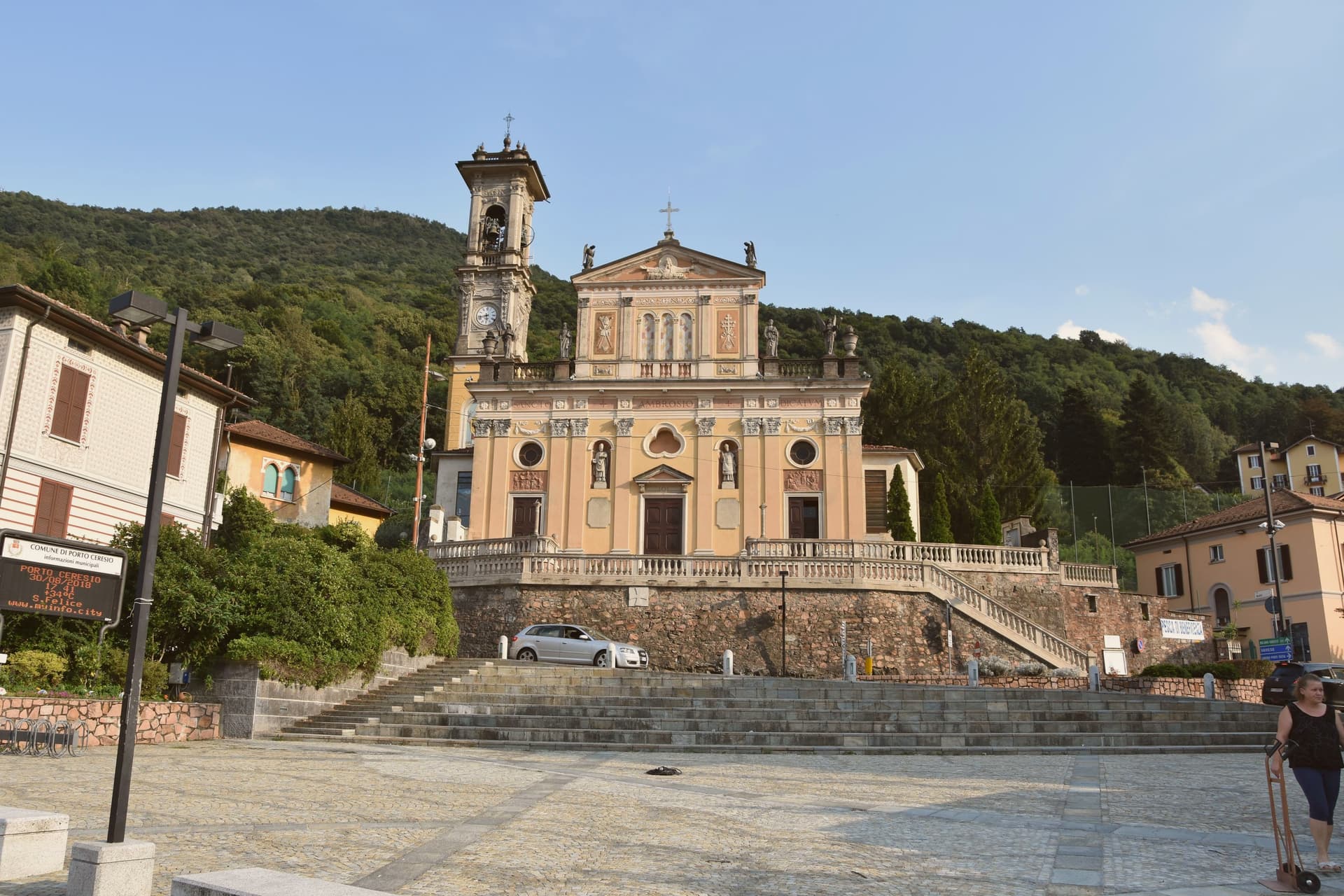
Chiesa di Sant'Ambrogio
Parish church in the centro storico, the religious center of the village since the medieval era.
Monte San Giorgio
Rises to 1,097 meters behind the town, the world's richest Middle Triassic marine fossil site, its green slopes forming the backdrop to the lake.
Giacimenti fossiliferi di Monte San Giorgio
The fossil beds themselves, with material now displayed at the Besano museum nearby: ichthyosaurs, fish, and aquatic plants pulled from what was once a tropical sea.
The slow-trip planner
Building a trip? Find where Porto Ceresio fits in a slow Italy circuit.
Answer five questions. We will shape a geographically coherent slow trip from the 1,000 Italian towns most travelers skip. Yours to save and share.
Living here
- Population 2,854
- Commuter belti
- Pharmacy in town
- High school within a 30-minute drive
- Train station in the comune
- Nearest airport Milan, 1 h 34 min drive
- Regional capital Milano, 1 h 6 min drive
Common questions
- What is Porto Ceresio known for?
- Porto Ceresio is the Italian port on the southern shore where the Swiss border runs through the water below Monte San Giorgio.
- Where is Porto Ceresio?
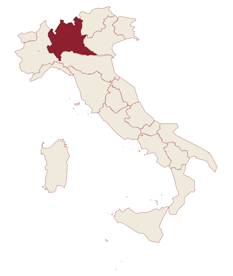
- Porto Ceresio is a comune in the province of Varese, in Lombardy, at 271 meters above sea level.
- What is the nearest airport to Porto Ceresio?
- Milan (BGY), about 1h 34m by car.
- Can you get to Porto Ceresio without a car?
- Yes. There is a railway station in the comune, so you can arrive by train.
- How long is the drive from Brescia to Porto Ceresio?
- About 2 hours by car.
- When is the best time to visit Porto Ceresio?
- Best in Apr–Oct. August is the warmest month, averaging 28 degrees, and May the wettest, with about 19 rain days.
- Which other towns are like Porto Ceresio?
- Dervio, Ghiffa and Mergozzo.
- How many people live in Porto Ceresio?
- 2,854 at the 2023 count.
Tags & datadesignations · numbers · sources
Recognised as
The numbers
- Elevation: 271 m
- Population: 2,854
- Surface area: 5.34 km²
These figures were compiled from public directories: ISTAT, OpenStreetMap and Wikidata, and from the official listings of the guides named on this page. Town details change; verify with official sources before you travel.
Similar
Towns like Porto Ceresio
Dervio
Province: Lecco
both lake towns · both under 3,000 people
Ghiffa
Province: Verbano-Cusio-Ossola
both lake towns · both under 3,000 people
Mergozzo
Province: Verbano-Cusio-Ossola
both lake towns · both under 3,000 people
Torno
Province: Como
both lake towns · both under 3,000 people
Bellano
Province: Lecco
both lake towns · both hill towns
Orta San Giulio
Province: Novara
both lake towns · both under 3,000 people
🏛️ UNESCO
More UNESCO towns in Lombardy
Bergamo
Province: Bergamo
A two-city Lombard capital where a Venetian walled hilltown sits 85 meters above its modern twin on the plain, 45 kilometers northeast of Milan.
Capriate San Gervasio
Province: Bergamo
The Bergamasco town that holds Crespi d'Adda, the late-nineteenth-century company village inscribed by UNESCO in 1995 as a model workers' settlement.
Cimbergo
Province: Brescia
A village of 533 at 851 meters above the Oglio, with castle ruins on a spur and UNESCO petroglyphs on the slopes below.
Mantova
Province: Mantova
A Gonzaga capital at 19 meters, encircled on three sides by lakes the Mincio formed in the twelfth century, UNESCO-listed together with Sabbioneta since 2008.
Sabbioneta
Province: Mantova
A Renaissance ideal city on the Po, built in thirty years by Vespasiano I Gonzaga and laid out as a six-pointed star.