
The best towns with a World Heritage site within 90 minutes of Milan
Lombardy and the Piedmontese lake country change character within an hour of leaving Milan. Granite and grey Moltrasio stone give way to stuccoed lakefront houses in ochre and dusty pink, wisteria on the balconies, plane trees clipped flat along the promenades. Spring brings camellias and the first boats back on the water; autumn brings mist off the lakes, chestnuts, missoltini (the dried shad of Lake Como) and risotto with perch. The heritage here is not only scenery: chapels climbing wooded hillsides, industrial villages built whole by their owners, and settlements sunk in lake mud since the Bronze Age.
The default day trip is Lake Como, and specifically Como town and Bellagio, reached by train from Cadorna or by the fast boats that fill up by mid-morning in July. There is good reason for it, and there are also queues for the funicular, coach parties along the Bellagio waterfront and lakefront restaurants working at a pace that shows. The famous villas absorb most of a day and most of the crowd.
The same lakes, the same stone, the same kitchens carry on well beyond that stretch. Orta and Maggiore have their own sacred mountains, Ceresio has its underwater prehistory, and the Adda valley has a company town that has been listed since long before industrial heritage became fashionable. These are the towns in that band, all reachable inside a morning from Milan, and all with fewer people in them.
Of the 45 communes we have mapped in a 90-minute drive of Milan, 6 qualify as towns with a World Heritage site: each holds a site UNESCO has listed. The smallest, Orta San Giulio, has 1,047 residents.
Elsewhere in the catalogue: The best towns with a World Heritage site in Lombardia and The best hidden towns with a World Heritage site in Piemonte.
Orta San Giulio
Why visit Orta San Giulio
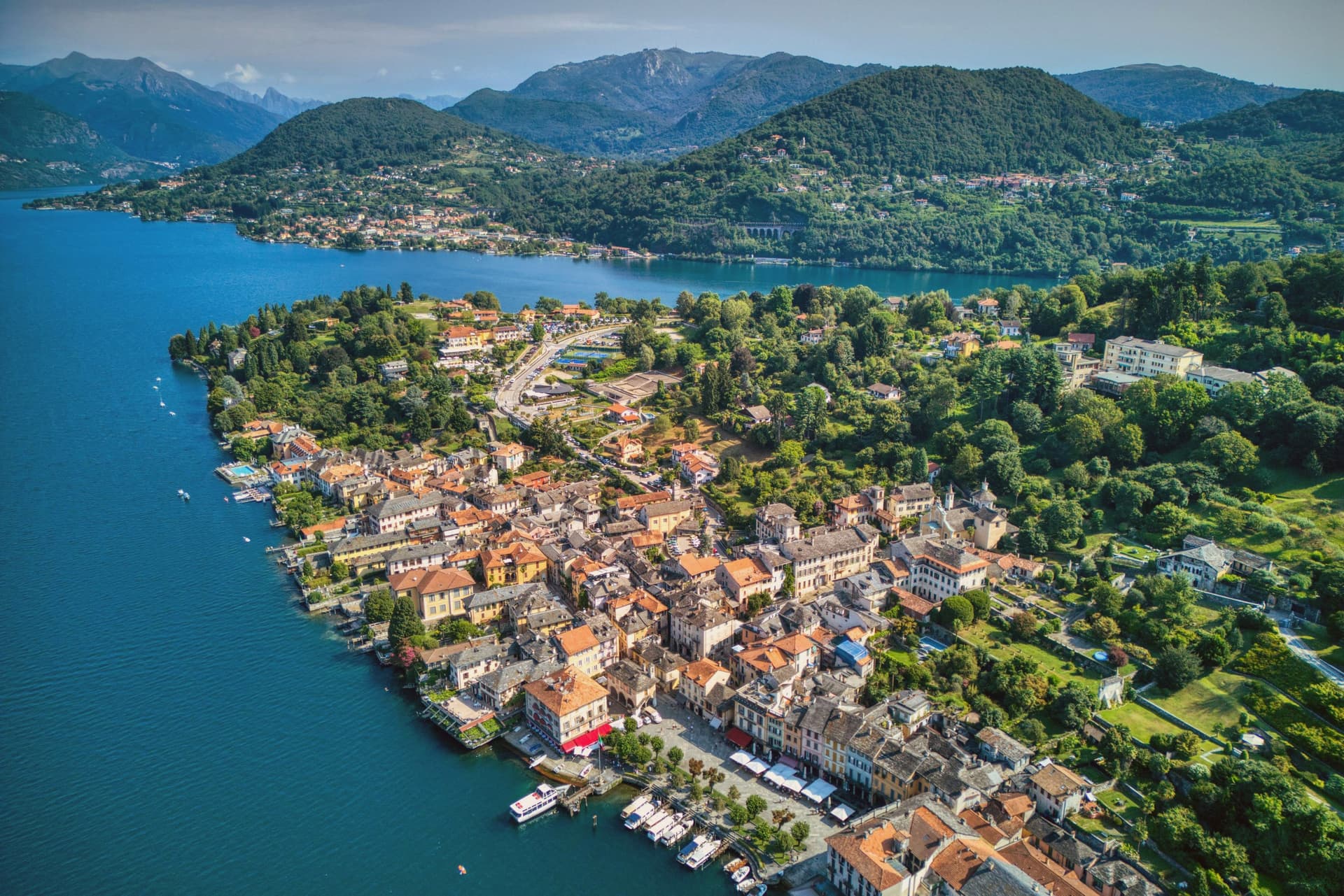
The town occupies a promontory pushed into the eastern shore of the lake, facing the small island 275 meters long and 140 meters wide. The two are close enough that the island reads as an extension of the town rather than a separate place, and a five-minute motorboat from the piazza is the only way across.
The old town holds three Tier-A signals at once: Borghi più belli, Bandiera Arancione, and the UNESCO inscription of 2003. The relationship between the three parts of the town explains how it works: the waterfront square and its lanes sit at lake level, facing the island directly across the water, while the hill above holds the devotional complex, reached by climbing away from the shore rather than along it.
Piazza Motta was also the seat of the Comunità della Riviera di San Giulio, an autonomous federation of lake towns that survived from the Middle Ages to the mid-eighteenth century, which is why the square, not the hill or the island, was built as a civic center. What results is a town in three registers at once: civic life at the water's edge, monastic life offshore, and devotional life on the hill above, each occupying its own ground and visible from the others.
What to see in Orta San Giulio
- Basilica di San Giulio. Serpentine ambo inside and a silver shrine dated 1697. Reached by boat, the basilica stands close to the water's edge, the focal point of the view from every point on the promontory.
- Piazza Motta and Palazzo della Comunità. The broletto's arcades face the water directly, and the square narrows toward the boat landing where the crossing to the island begins.
- Sacro Monte di Orta. The chapels climb the wooded hillside in sequence, each framing a scene, with the town and the lake opening up in views between them as the path gains height.
How to get to Orta San Giulio
There is a railway station in the town, so you can arrive without a car and never need one while you are here. Novara is roughly 46 minutes away by road.
Our tip
April through June brings the Sacro Monte chapels into the chestnut shade and the lake water warm enough for the open-air bars on Piazza Motta. July and August fill the ferry to the island and the piazza turns over by the hour; the centro pedestrian zone slows to a queue at lunch. September and October are the clearest window: low light on the basilica across the water, fewer day-trippers from Milano, and the Sacro Monte path almost empty after eleven.
Ghiffa
Why visit Ghiffa
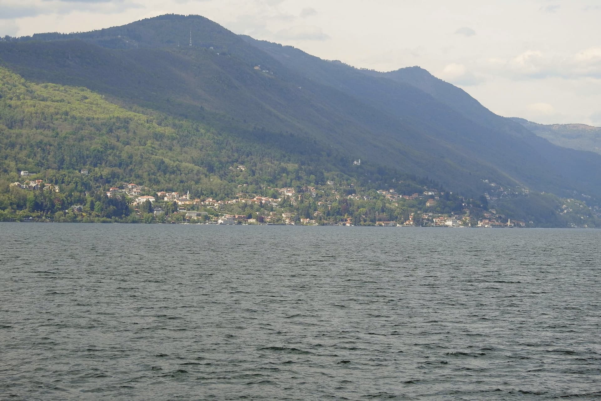
Ghiffa runs along the west shore of Lake Maggiore between Verbania and Cannobio, a strip of lakefront at 201 meters facing the Lombard side of the lake. Above the village, at 360 meters on the slope of Monte Carciago, the ground rises to the Sacro Monte della SS.
Trinità, inscribed by UNESCO in 2003 among the nine Sacri Monti of Piemonte and Lombardia. The village below and the sanctuary above form the two halves of Ghiffa: one built on the lake trade and the ferry crossings to the Lombard shore, the other set apart in woodland on the mountain.
From 1879 the Panizza hat factory turned Ghiffa into one of Europe's hat-making centers, and the trade employed most of the village for a century before the factory closed. What is left of that trade sits in the same lakefront ground the sanctuary looks down on: a village shaped as much by an industry that has ended as by the devotional complex that has outlasted it.
What to see in Ghiffa
- Sacro Monte della SS. Trinità. Sanctuary plus three chapels and porticoed Stations of the Cross set in a 200-hectare reserve, built around an older medieval chapel.
- Museo dell'Arte del Cappello. Lakefront museum in the former factory building, holding molds, stamps, and records from a century of Ghiffa hat-making, including the Borsalino style made and exported here.
- Riserva Naturale del Sacro Monte. Two hundred hectares of beech and chestnut woods around the sanctuary, with marked trails to Cappella del Porale at 470 meters.
How to get to Ghiffa
There is a railway station in the town, so you can arrive without a car and never need one while you are here. Novara is roughly 75 minutes away by road.
Our tip
April through October is the lake season. May and June bring the wisteria along the lakefront and clear days on the Sacro Monte. September and October are dry, with the sanctuary's chestnut woods turning and the ferry schedule still running.
Porto Ceresio
Why visit Porto Ceresio
Porto Ceresio sits on the south shore, 11 kilometers northeast of Varese and directly on the Swiss frontier. The lake is also called Ceresio, named for the cherry trees that once lined its banks.
Boats run from the pier across to Lugano and Morcote in Canton Ticino, and an electric railway from Varese, the first in Italy, reached the lake in the early twentieth century. The mountain behind the town covers a tropical sea floor from 240 million years ago, and the 2010 UNESCO extension tied Porto Ceresio to Besano and Viggiù and to the original Swiss site across the water.
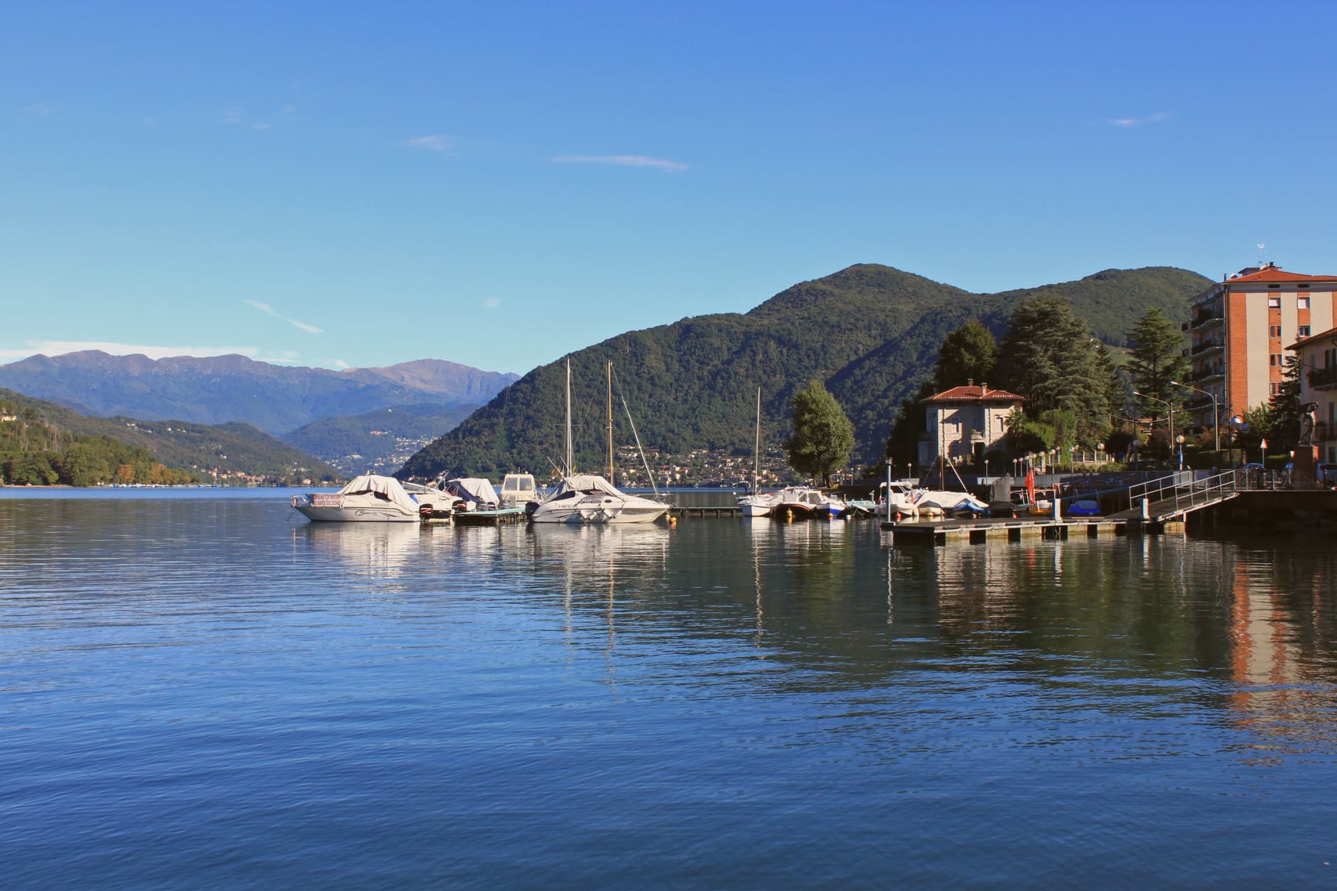
The lakefront promenade, with its colored houses, sits between that green mountain slope and the lake itself, looking straight across to the Swiss shore. The town reads as a hinge point: a rail line built to reach the water, a pier built to cross it, and a mountain behind that turns the crossing into a border between two countries and two geological eras.
What to see in Porto Ceresio
- Lungolago di Porto Ceresio. Lakefront promenade with the ferry pier and the colored houses that face Lake Lugano and the Swiss shore opposite.
- Chiesa di Sant'Ambrogio. Parish church in the centro storico, the religious center of the village since the medieval era.
- Monte San Giorgio. Rises to 1,097 meters behind the town, the world's richest Middle Triassic marine fossil site, its green slopes forming the backdrop to the lake.
How to get to Porto Ceresio
There is a railway station in the town, so you can arrive without a car and never need one while you are here. Milano is roughly 66 minutes away by road.
Our tip
April through October is the lake season. The ferries to the Swiss shore run frequent crossings, and the lungolago fills with day-trippers from Varese and Milano on summer weekends. July and August push temperatures into the high twenties; the mountain shade behind the town keeps evenings tolerable, and the lake water stays cool.
Tremezzina
Why visit Tremezzina
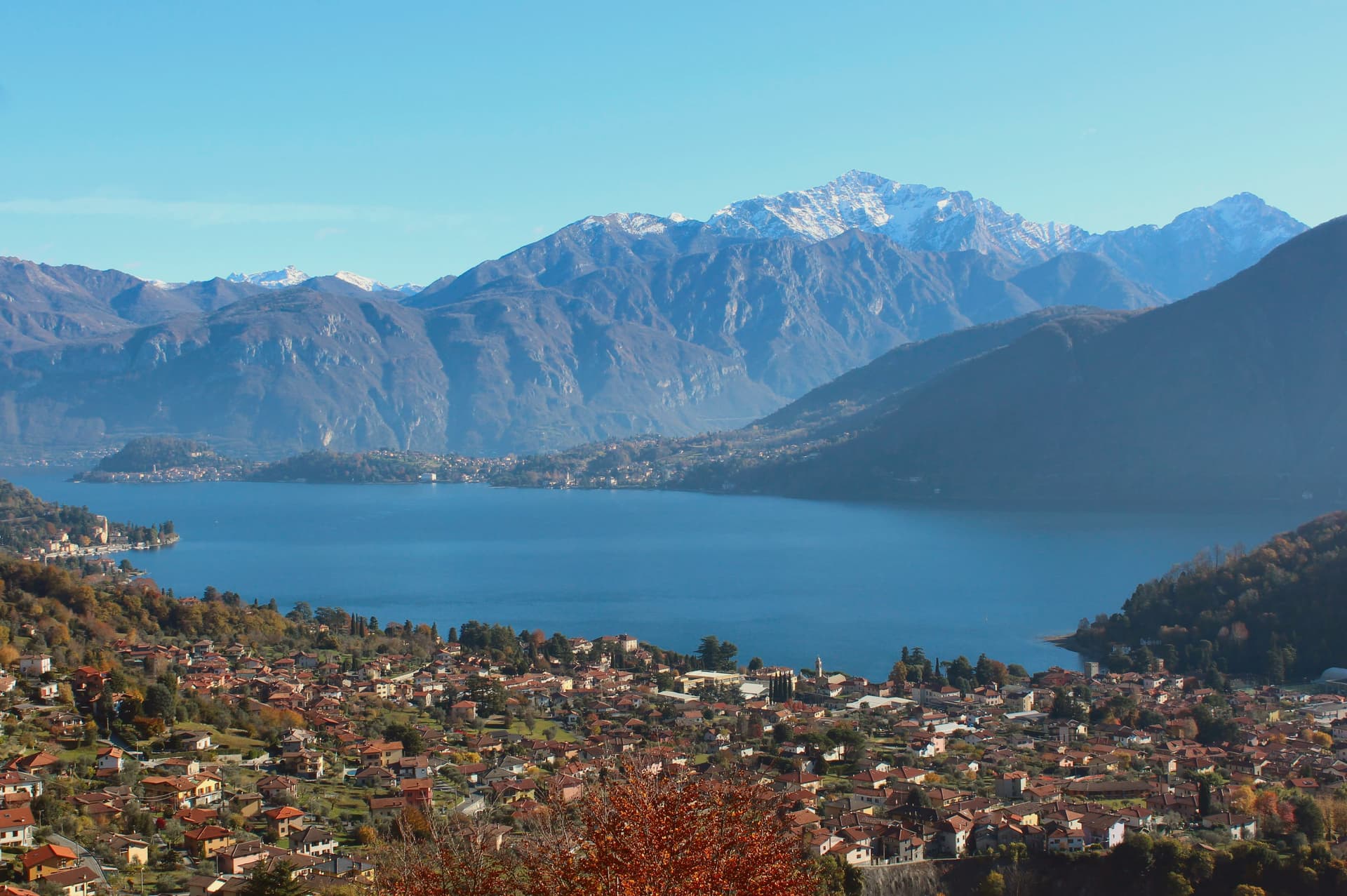
Tremezzina was created on 25 May 2014 from the merger of Lenno, Mezzegra, Ossuccio and Tremezzo, four villages along the central western shore of Lake Como facing Bellagio. The new comune holds Villa Carlotta, built in the late 1600s for the Marquis Giorgio Clerici and later named for Princess Carlotta who received it in 1850, with seventeen acres of gardens and one of the great rhododendron collections in Italy.
Isola Comacina, the lake's only island, was the wealthiest place on the lake before Como's destruction of it in 1169; nothing has been built there since, and it is now an archaeological site. The Sacro Monte di Ossuccio is one of nine Lombard and Piedmontese Sacri Monti inscribed by UNESCO in 2003: fourteen Baroque chapels built between 1635 and 1710, climbing the prealpine slope two hundred meters above the lake to a sanctuary of 1532.
Mussolini was captured in Dongo north of here and shot in Giulino di Mezzegra on 28 April 1945; the black cross by the road still marks the spot.
What to see in Tremezzina
- Villa Carlotta. Late seventeenth-century villa built for the Marquis Giorgio Clerici, with seventeen acres of gardens, more than 150 rhododendron and azalea species, and a sculpture collection.
- Isola Comacina. Lake Como's only island, the wealthiest medieval settlement on the lake until its destruction by Como in 1169, now an archaeological site.
- Sacro Monte di Ossuccio. UNESCO site of fourteen Baroque chapels built 1635-1710, climbing two hundred meters above the lake to the Beata Vergine del Soccorso sanctuary of 1532.
How to get to Tremezzina
Monza is roughly 83 minutes away by road.
Our tip
April through October is the working season on the central lake. April, May and September into October are the strongest: the rhododendrons and azaleas of Villa Carlotta peak in late April, the lake holds afternoon warmth without humidity, the Greenway is open and dry. July and August are full: ferries between Bellagio and Tremezzo run at capacity, parking near Villa Carlotta is gone by ten, and the Sacro Monte climb sits in the afternoon shade.
Capriate San Gervasio
Why visit Capriate San Gervasio
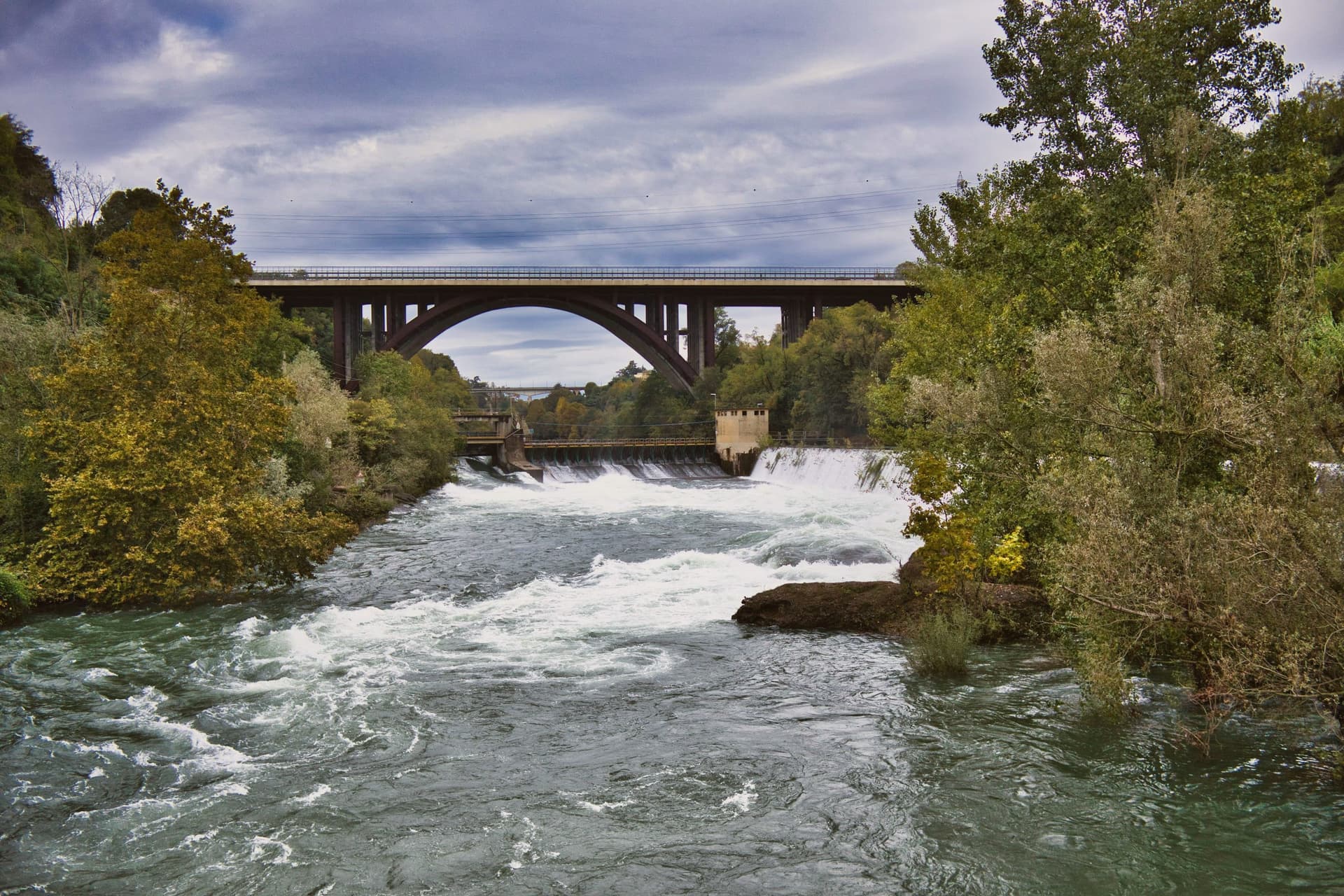
Capriate San Gervasio sits at the southern tip of the Isola Bergamasca, the wedge of plain between the Adda and Brembo, thirty kilometers northeast of Milano. The comune holds three historic settlements on three terraces: San Gervasio d'Adda to the north, Capriate d'Adda in the middle, and Crespi d'Adda at the southern point, where the two rivers nearly meet.
Crespi d'Adda was founded in the 1870s by the textile industrialist Cristoforo Benigno Crespi to house workers in his cotton mill, and completed by his son Silvio after study tours of German and English company towns. The plan is geometrically regular: the mill and offices on the left bank, workers' housing across the road on a grid.
Each family had a multi-family house with a garden. The village added a clinic, school, theatre, cooperative, hydroelectric station, sports field, priest's house, doctor's house and a Crespi mausoleum on the hill above.
UNESCO inscribed it in 1995 as one of the most intact European company towns. The mill closed in 2003.
What to see in Capriate San Gervasio
- Villaggio Operaio di Crespi d'Adda. UNESCO-listed industrial village founded 1870s by Cristoforo Benigno Crespi, completed by his son Silvio after studying German and English company towns.
- Mausoleo Crespi. Family mausoleum on the hill above the village, in an Indo-Cambodian inspired style, the most photographed building of the Crespi complex.
- Cotonificio Benigno Crespi. The cotton mill across the road from the workers' housing, the centerpiece of the company town, in redevelopment as a cultural hub from 2025.
How to get to Capriate San Gervasio
Bergamo is roughly 19 minutes away by road.
Our tip
April through June and September into October are the workable months on the Po Valley plain. The riverbanks of the Adda are dry and walkable, the cycle path through the Parco Adda Nord is in shade, the Crespi village stands cleanly in mid-season light. July and August bring humid heat above thirty degrees, with mosquitoes along the rivers.
Bergamo
Why visit Bergamo
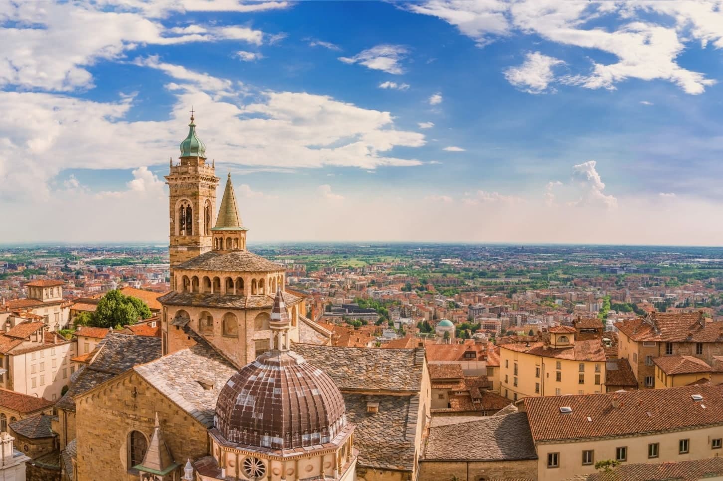
Bergamo's upper town occupies a spur of the Bergamasque foothills, and the lower town spreads onto the plain that runs southwest toward Milan. The walls that ring the hilltop cost the old town more than 250 buildings, including the original cathedral of Sant'Alessandro, demolished to clear ground for the defenses.
The circuit was built as part of a much larger Venetian project, inscribed together with the fortifications at Peschiera, Palmanova and sites on the Dalmatian coast: one defensive system spread across the Republic's frontier, of which this hilltop was the western anchor. The two halves of the city keep their own centuries.
The walled hilltop holds its medieval and Renaissance fabric inside the fortifications, reached by a funicular that has run the same route since the nineteenth century. The lower city is the newer half, built up through the nineteenth and twentieth centuries on the flat ground below.
Bergamo works as a place because that separation stayed intact instead of being built over: a fortified hill town and a modern city sharing one name but occupying two distinct centuries.
What to see in Bergamo
- Mura Venete. Eight bastions and four gates carry the circuit around the ridge of Città Alta, the walkway open along most of its length with views down over the lower town and the plain.
- Piazza Vecchia. Ringed by the Palazzo della Ragione, the Campanone tower, the Contarini fountain and the Biblioteca Mai, this is the square at the top of the funicular climb, the meeting point of Città Alta's streets.
- Basilica di Santa Maria Maggiore. The Romanesque exterior gives no hint of the Baroque interior inside, gilded and heavy with stucco, where the composer's tomb sits among the furnishings.
How to get to Bergamo
There is a railway station in the town, so you can arrive without a car and never need one while you are here. Bergamo is roughly 3 minutes away by road.
Our tip
April through June and September into October are the months Bergamo works best. Città Alta is walkable, the walls open at dawn, and the Accademia Carrara is uncrowded on weekday mornings. July and August are hot on the plain and full on the hill; the funicular waits stretch on weekends.
More from Anywhere Italy
 The best towns with a World Heritage site in Lombardia
 The best hidden towns with a World Heritage site in Piemonte
 The best towns with a World Heritage site within 90 minutes of Brescia
- The best towns with a World Heritage site within 90 minutes of Verona
- The best towns with a World Heritage site within two hours of Parma
- The best lake towns within two hours of Turin