
Basilicata · Matera
Pisticci
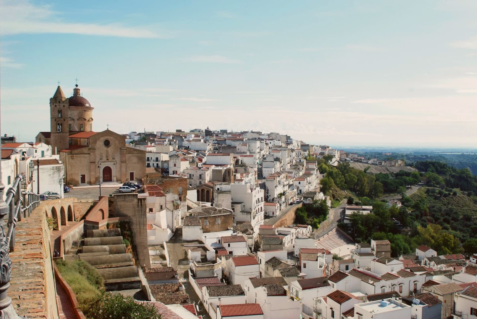
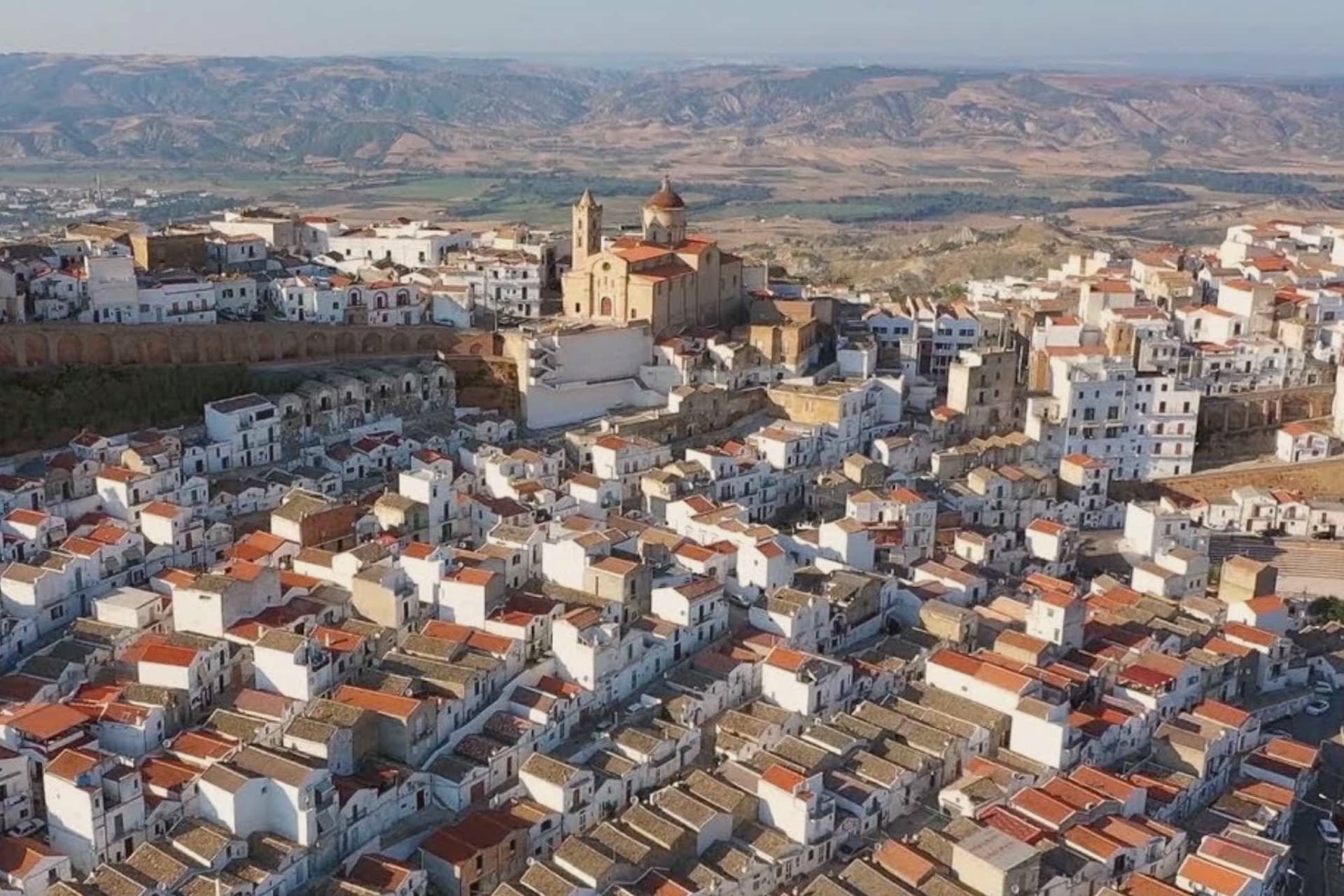
A hill town on eroded clay above the Ionian, rebuilt in three hundred identical white houses after survivors refused to leave the ground the landslide had passed over.
- Best time
- Apr–Oct
- By car
- 1 h 47 min from Bari
- By train
- Station in the comune
- Population
- 16,708
Known for
DIRUPO
Three hundred identical white houses rebuilt in straight lines after the 1688 landslide, when survivors refused to abandon the hill and four hundred had already died.
MARINA
Twenty kilometers down to the Ionian, where Marina di Pisticci holds the Bandiera Blu and the pine forest backs onto the sand.
TRUFFLE
Black truffle from the clay hills around the town, anchor of the Città del Tartufo designation and several autumn fairs.
FRAGOLA DELLA BASILICATA
The commune lies inside the Fragola della Basilicata IGP production zone.
When to visit
Best · Apr–Oct
- J12°
- F14°
- M15°
- A18°
- M24°
- J30°
- J34°
- A33°
- S28°
- O23°
- N17°
- D13°
- Best
- Hot or crowded
- Quiet
- Mostly closed
Daytime averages, 2020–2024. Weather data by Open-Meteo.com.
The festa: San Rocco, 16 August
Why come
Pisticci sits on three eroded clay hills in the southern Matera province and is the most populous town in the province after Matera itself. The name of the coastal frazione, and the geology under the whole town, are the same clay that failed on 9 February 1688, when a landslide cut the settlement in half and killed four hundred people. Rather than move down to the valley, survivors rebuilt directly on the ground the slide had crossed, in two-room houses with pitched red tile roofs, arranged in straight lines instead of the tangled layout typical of hill towns in the region.
That district took the name of the cliff itself. Above it, on the highest point, the older part of the town kept its Norman tower, its medieval gate and its mother church, the built record of what stood before the collapse. Twenty kilometers away on the plain toward the sea, the hamlet of Marconia, named for Guglielmo Marconi, functions as the modern centre, while the coastal frazione handles the town's relationship to the Ionian.
The clay hills inland, meanwhile, are worked for truffles rather than housing. What the layout adds up to is a town split by elevation and by function: the old hill preserves what predates the disaster, the rebuilt district records the disaster itself, and the plain and the coast carry everything the eroding hill cannot.
The Sunday letter
Pisticci is on our list. Its letter is still to come.
We are writing about all 1,000 of these towns, one at a time, in a free letter every Sunday: the photo, the food, the festa. That is our mission. Sign up and you will be there when Pisticci comes up. By Peter & Sophia, from Pietrasanta.
Read on
Pisticci in our articles
 The 6 best towns you can reach by train in the province of Matera6 towns, Pisticci among them.
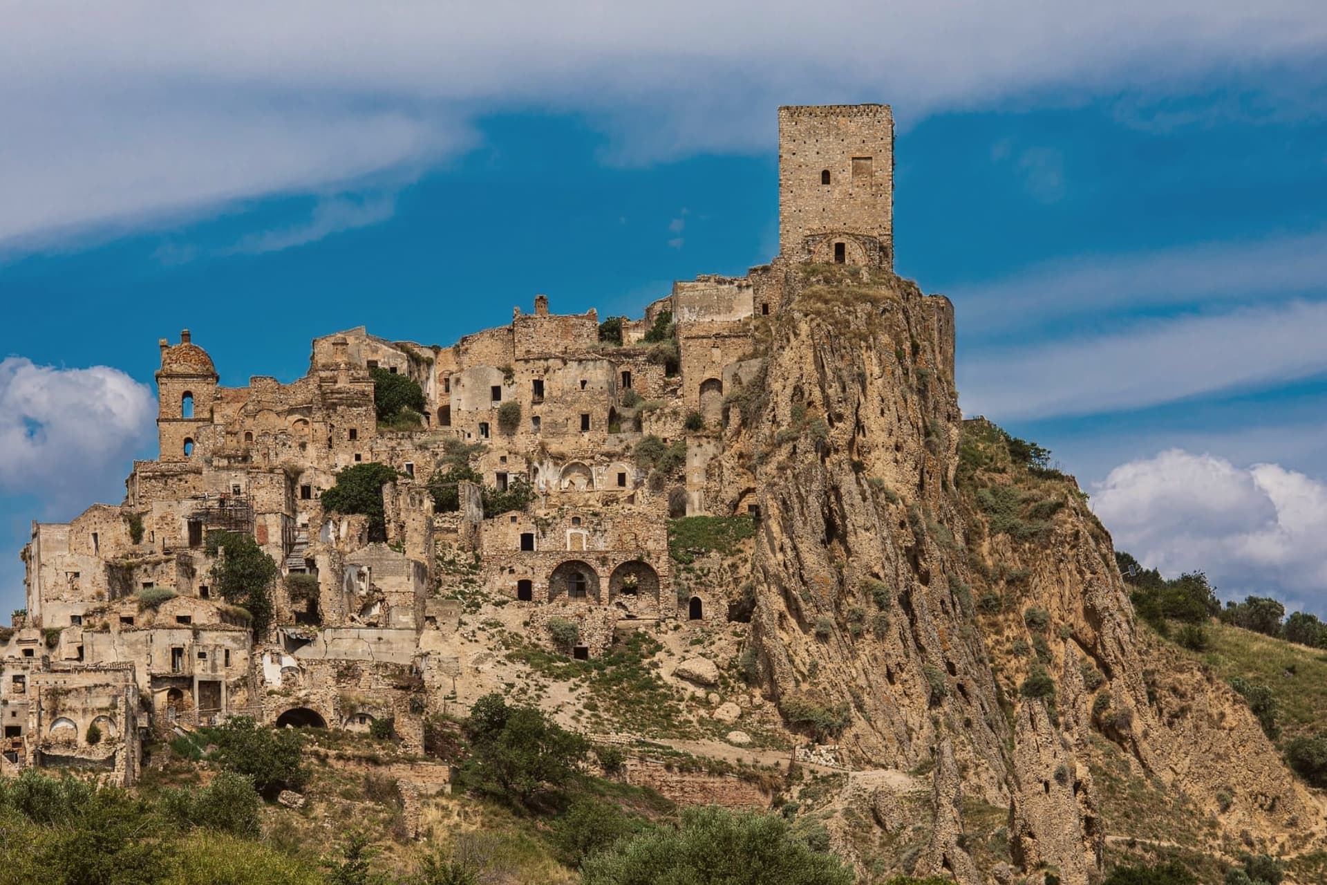 The 9 best hill towns in the province of Matera9 towns, Pisticci among them.
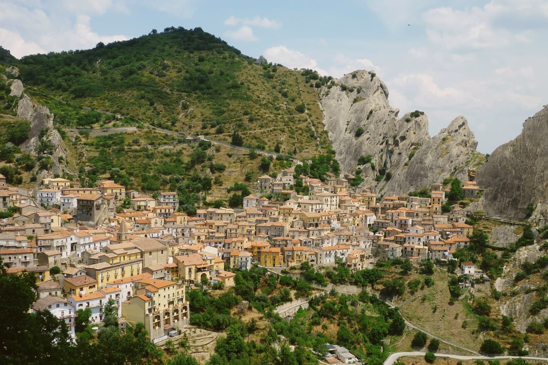 Alternatives to Matera: every small town in Basilicata, in one list30 towns, Pisticci among them.
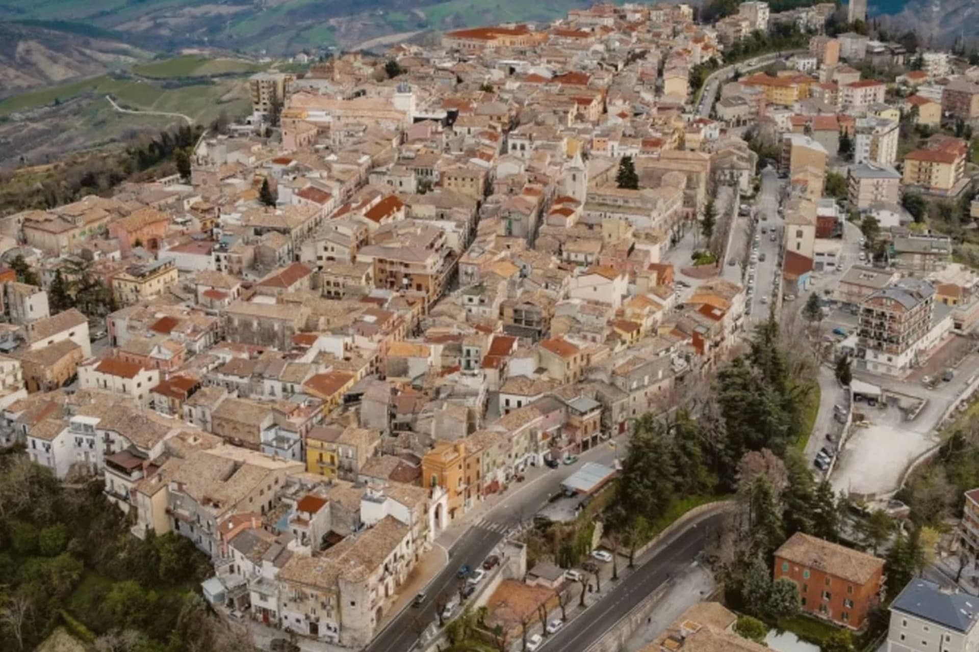 Every town in our catalogue you can reach by train, all of them, by region452 towns, Pisticci among them.
How to get there
From Bari / Brindisi (BRI), about 2 hours by car.
Lamezia / Reggio (SUF) is about 3h 9m away.
By car from the centre of Bari 1h 47m, Lecce 2h 26m or Salerno 2h 42m.
There is a railway station in the comune, so you can arrive without a car.
Coming from Bari?
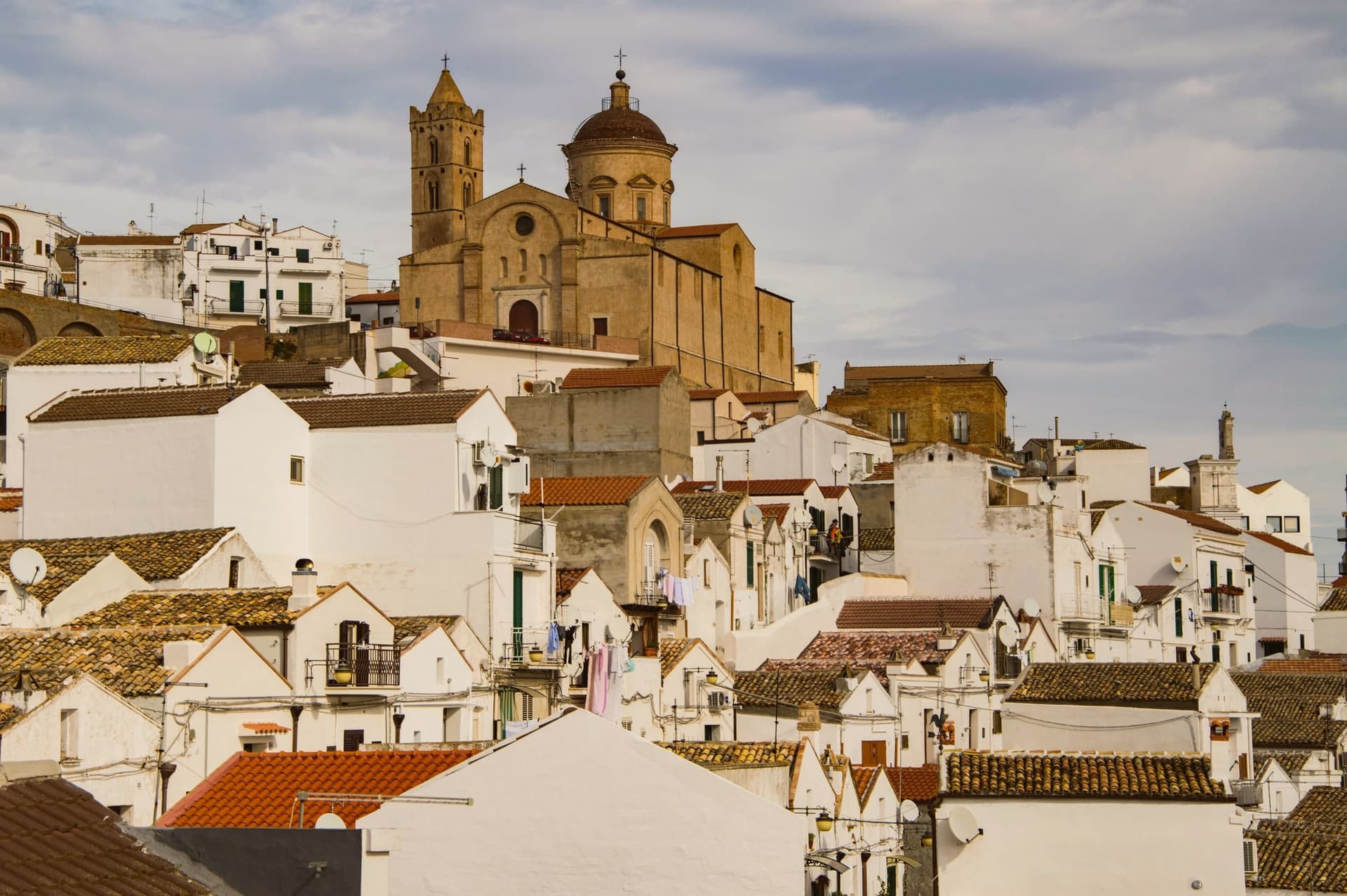
Coming by train into Taranto? Pisticci is about 1 hour away by road.
What to see
Rione Dirupo
Low houses set two rooms wide under pitched red tile roofs, laid out in straight lines rather than the tangled streets typical of the region, the most lived-in district of the town today.
Terravecchia
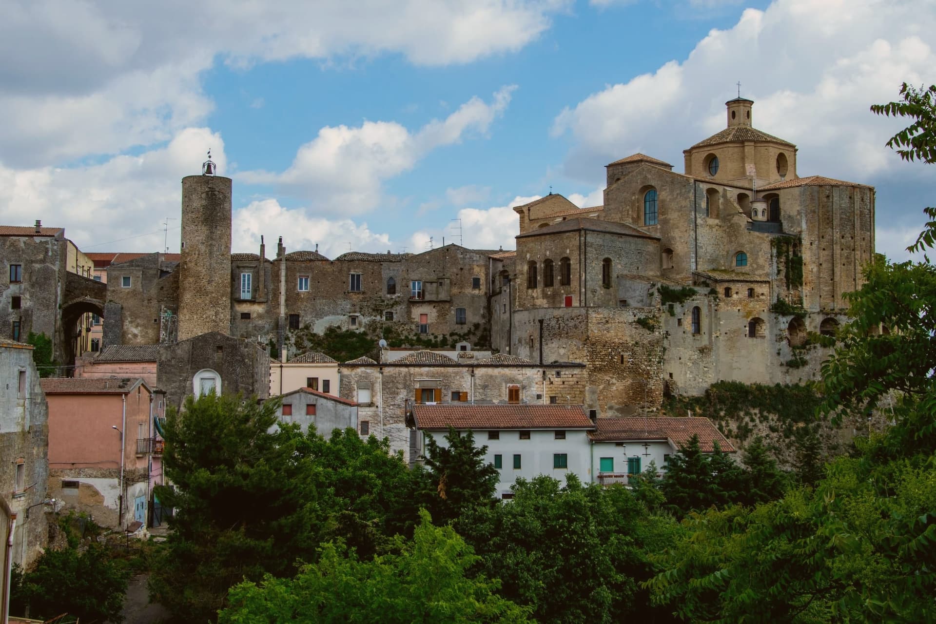
Oldest district on the highest hill, with the square tower of the Norman castle, the medieval gate, the mother church and the noble palazzi that survived from before 1688.
Marina di Pisticci
Coastal frazione on the Ionian, twenty kilometers from the centro storico, a Bandiera Blu beach with pine forest backing the sand.
Chiesa Madre dei Santi Pietro e Paolo
Rebuilt several times over the centuries, the highest building of the medieval town, standing on the hilltop and visible from the calanchi below.
Calanchi di Pisticci
Bare clay badlands flanking the town, the same eroded geology that gave way in 1688, with walking trails leading out from the rebuilt district below the old hill.
The slow-trip planner
Building a trip? Find where Pisticci fits in a slow Italy circuit.
Answer five questions. We will shape a geographically coherent slow trip from the 1,000 Italian towns most travelers skip. Yours to save and share.
We recommend
Where to stay
Not our picks, but places the guides put their name to: a Michelin star, a Gambero Rosso fork, a Slow Food snail, a Michelin Key for the hotels. Worth a table, a counter, or a night when you pass through.
Torre Fiore Hotel MasseriaHotel
Torre Fiore Hotel Masseria has a place in the Michelin hotel guide to its name.
Living here
- Population 16,708
- Remotei
- Pharmacy in town
- High school within a 30-minute drive
- Train station in the comune
- Nearest airport Bari / Brindisi, 1 h 53 min drive
- Regional capital Potenza, 1 h 35 min drive
Common questions
- What is Pisticci known for?
- Pisticci is a hill town on eroded clay above the Ionian, rebuilt in three hundred identical white houses after survivors refused to leave the ground the landslide had passed over.
- Where is Pisticci?
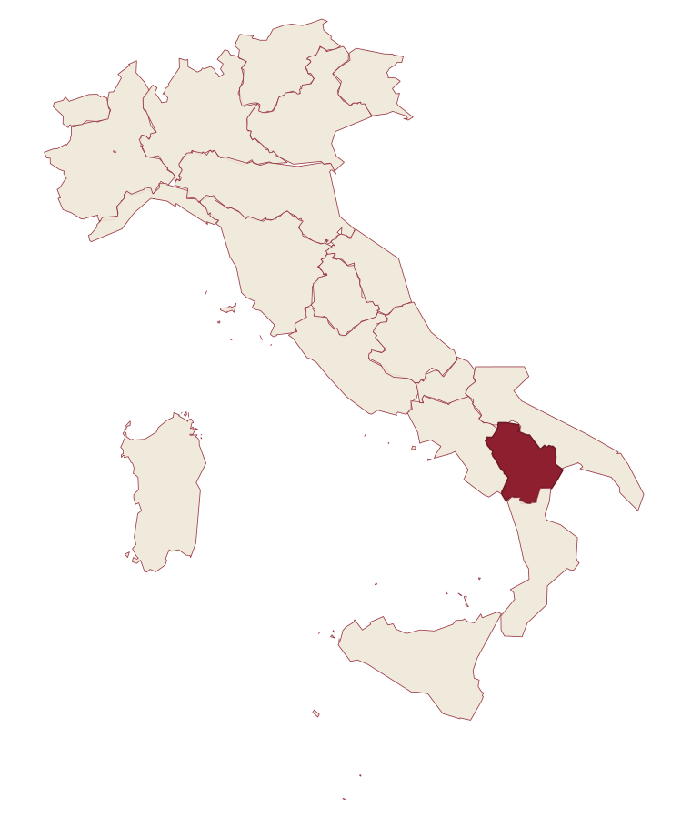
- Pisticci is a comune in the province of Matera, in Basilicata, at 364 meters above sea level.
- What is the nearest airport to Pisticci?
- Bari / Brindisi (BRI), about 2 hours by car.
- Can you get to Pisticci without a car?
- Yes. There is a railway station in the comune, so you can arrive by train.
- How long is the drive from Bari to Pisticci?
- About 1h 47m by car.
- When is the best time to visit Pisticci?
- Best in Apr–Oct. July is the warmest month, averaging 34 degrees, and November the wettest, with about 10 rain days.
- Is there a sagra or a festival in Pisticci?
- The town keeps its patron saint's day: San Rocco, 16 August.
- Which other towns are like Pisticci?
- Melfi, Venosa and Isernia.
- How many people live in Pisticci?
- 16,708 at the 2023 count.
Tags & datadesignations · numbers · sources
The numbers
- Elevation: 364 m
- Population: 16,708
- Surface area: 233.67 km²
These figures were compiled from public directories: ISTAT, OpenStreetMap and Wikidata, and from the official listings of the guides named on this page. Town details change; verify with official sources before you travel.
Similar
Towns like Pisticci
Melfi
Province: Potenza
both inland, away from the coast · both over 10,000 people
Venosa
Province: Potenza
both inland, away from the coast · both over 10,000 people
Isernia
Province: Isernia
both inland, away from the coast · both over 10,000 people
Sulmona
Province: L'Aquila
both inland, away from the coast · both over 10,000 people
Matera
Province: Matera
both inland, away from the coast · both over 10,000 people
Locorotondo
Province: Bari
both inland, away from the coast · both over 10,000 people
🟦 Bandiera Blu
More Bandiera Blu towns in Basilicata
Bernalda
Province: Matera
A 127-meter hill town between the Bradano and Basento, Francis Ford Coppola's ancestral home, holding the Magna Graecia columns of the Tavole Palatine.
Maratea
Province: Potenza
Basilicata's only commune on the Tyrrhenian, thirty-two kilometers of rocky coast overlooked by a marble Christ raised inland in 1965.
Nova Siri
Province: Matera
A 350-meter Ionian hill town with a Blue Flag beach nine kilometers below, near the site of the ancient Greek colony of Siris.
Policoro
Province: Matera
An Ionian-coast town built on the ruins of the Greek polis of Heraclea, with a national museum devoted to the city's finds and a nature reserve running the country's documented sea turtle nesting program.