
Marche · Fermo
Petritoli
A hilltop borgo above the Aso valley, formed around the year 1000 from the merger of three castles.
Known for
TRE ARCHI
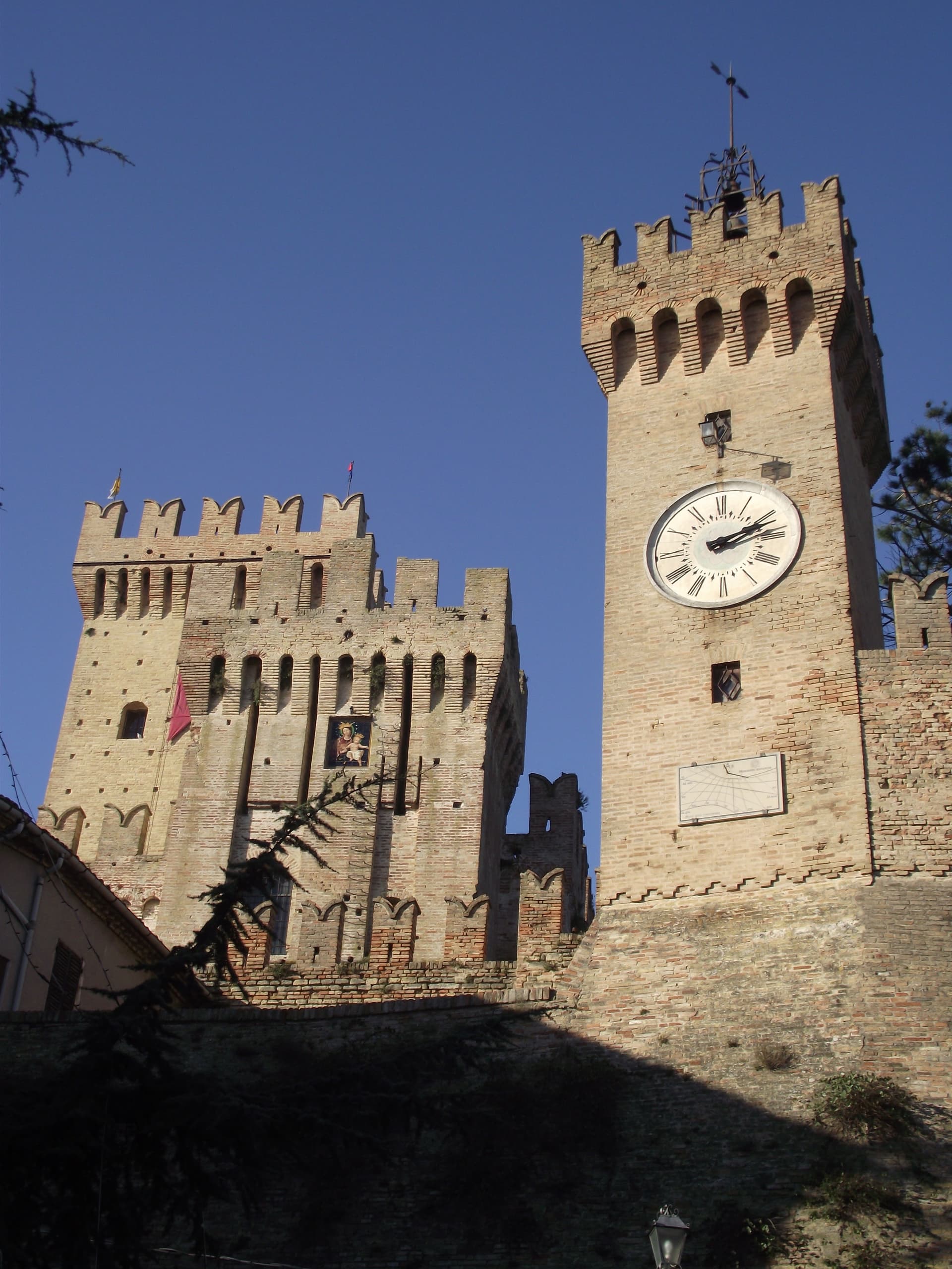
Three neo-gothic arches set between two fifteenth-century towers at the southern gate, the signature image of the village.
TEATRO DELL'IRIDE
1869 horseshoe theater designed by Giuseppe Sabbatini, with three tiers of boxes and a seasonal program of concerts and prose.
ASO VALLEY OIL
Olive oil and small-scale wine from the surrounding hillsides, the working agricultural base of the commune.
When to visit
Best · Apr–Oct
- J10°
- F13°
- M13°
- A16°
- M21°
- J27°
- J30°
- A30°
- S25°
- O20°
- N14°
- D11°
- Best
- Hot or crowded
- Quiet
- Mostly closed
Daytime averages, 2020–2024. Weather data by Open-Meteo.com.
The festa: Giovanni Battista, 24 June
Why come
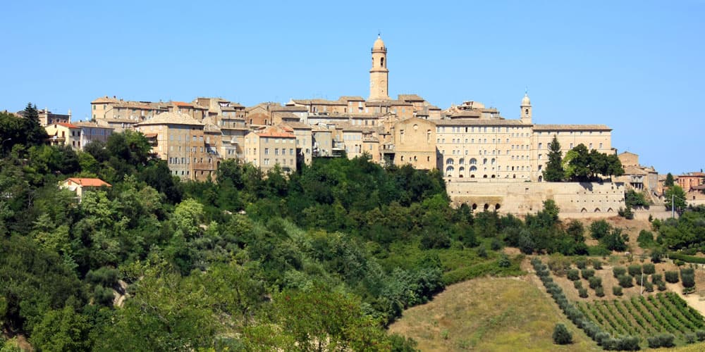
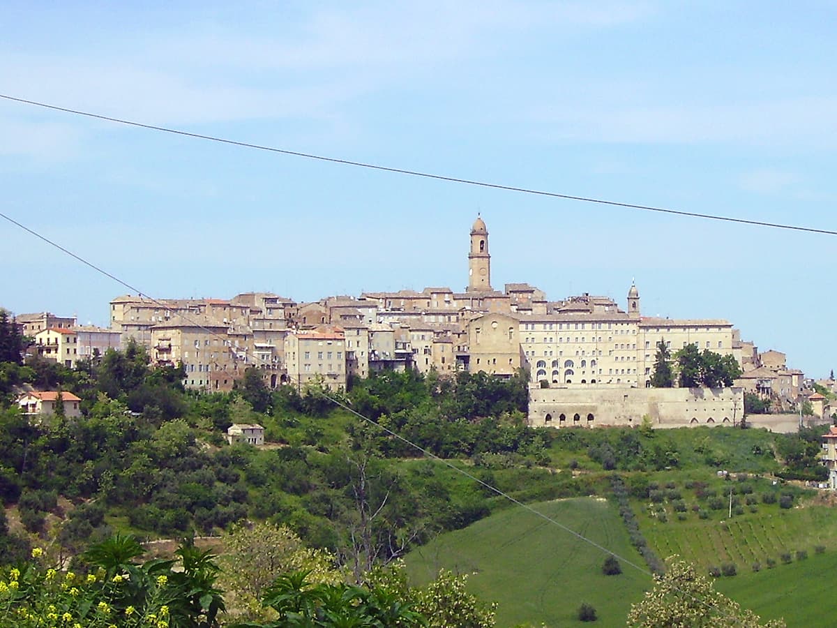
Petritoli sits in the southern Fermano, fifty kilometers north of Ascoli Piceno, on a turn-off from the Via Salaria that linked Ascoli to Fermo. The name and the site trace back to the three original nuclei, Petrosa, Petrania and Petrollavia, which merged into one hilltop settlement around the year 1000. Their union is still legible in the stepped streets of the centro storico, where the three castle quarters knit together inside a single circuit of walls.
The town looks outward as much as inward. From the civic tower the ground falls away to the Aso valley, and on clear days the view reaches the Sibillini beyond it. Below the walls, the valley floor carries olive groves and mulberries, and oil, fruit and small-scale wine still form the working base of the local economy.
Some buildings were damaged in the 2016 earthquake and repaired in stages afterward, the town's ordinary continuity interrupted but not ended. What holds the place together, in the end, is that continuity: three separate castles resolved into one hill village, still worked from the valley it overlooks.
The Sunday letter
We haven’t written Petritoli’s letter yet.
One town every Sunday, with the photo, the food, the festa. Be there when this one comes up. Free, by Peter & Sophia from Pietrasanta.
How to get there
From Ancona / Pescara (AOI), about 1h 12m by car.
Rimini (RMI) is about 2h 15m away.
By car from the centre of Ancona 1 hour or Pescara 1h 21m.
Coming by train into Pescara Centrale? Petritoli is about 1h 19m away by road.
What to see
Tre Archi
The arches frame the approach to the centro storico from below, the two flanking towers still rising clear of the newer construction around them.
Teatro dell'Iride
Designed by Giuseppe Sabbatini, 270 seats across three tiers of boxes, still in seasonal use for concerts and prose.
Torre Civica
Medieval civic tower above the centro storico, with views across the Aso valley to the Sibillini on clear days.
Centro storico
Walled medieval village on the hilltop, recognized as one of I Borghi più belli d'Italia, with stepped streets between the three original castle nuclei.
The slow-trip planner
Building a trip? Find where Petritoli fits in a slow Italy circuit.
Answer five questions. We will shape a geographically coherent slow trip from the 1,000 Italian towns most travelers skip. Yours to save and share.
Through the year
What happens here
Feasts and festivals that come back year after year. We give the month rather than the date, because the date moves and the month rarely does. Check with the source before you plan a journey around one.
Sagra della Sporbaturafood festival
usually held in August. itinerarinelgusto.it
Living here
- Population 2,160
- Commuter belti
- Pharmacy in town
- High school within a 30-minute drive
- Nearest airport Ancona / Pescara, 1 h 12 min drive
- Regional capital Ancona, 1 h 7 min drive
Common questions
- What is Petritoli known for?
- Petritoli is a hilltop borgo at 358 meters above the Aso valley, formed around the year 1000 from the merger of three castles.
- Where is Petritoli?
- Petritoli is a comune in the province of Fermo, in Marche.
- What is the nearest airport to Petritoli?
- Ancona / Pescara (AOI), about 1h 12m by car.
- How long is the drive from Ancona to Petritoli?
- About 1 hour by car.
- When is the best time to visit Petritoli?
- Best in Apr–Oct. July is the warmest month, averaging 30 degrees, and May the wettest, with about 13 rain days.
- Is there a sagra or a festival in Petritoli?
- Yes. Sagra della Sporbatura. August is when the first of them falls.
- Which other towns are like Petritoli?
- Offagna, Staffolo and Serra San Quirico.
- How many people live in Petritoli?
- 2,160 at the 2023 count.
Tags & datadesignations · numbers · sources
Recognised as
The numbers
- Elevation: 358 m
- Population: 2,160
- Surface area: 24 km²
These figures were compiled from public directories: ISTAT, OpenStreetMap and Wikidata, and from the official listings of the guides named on this page. Town details change; verify with official sources before you travel.
Similar
Towns like Petritoli
Offagna
Province: Ancona
both inland, away from the coast · both under 3,000 people
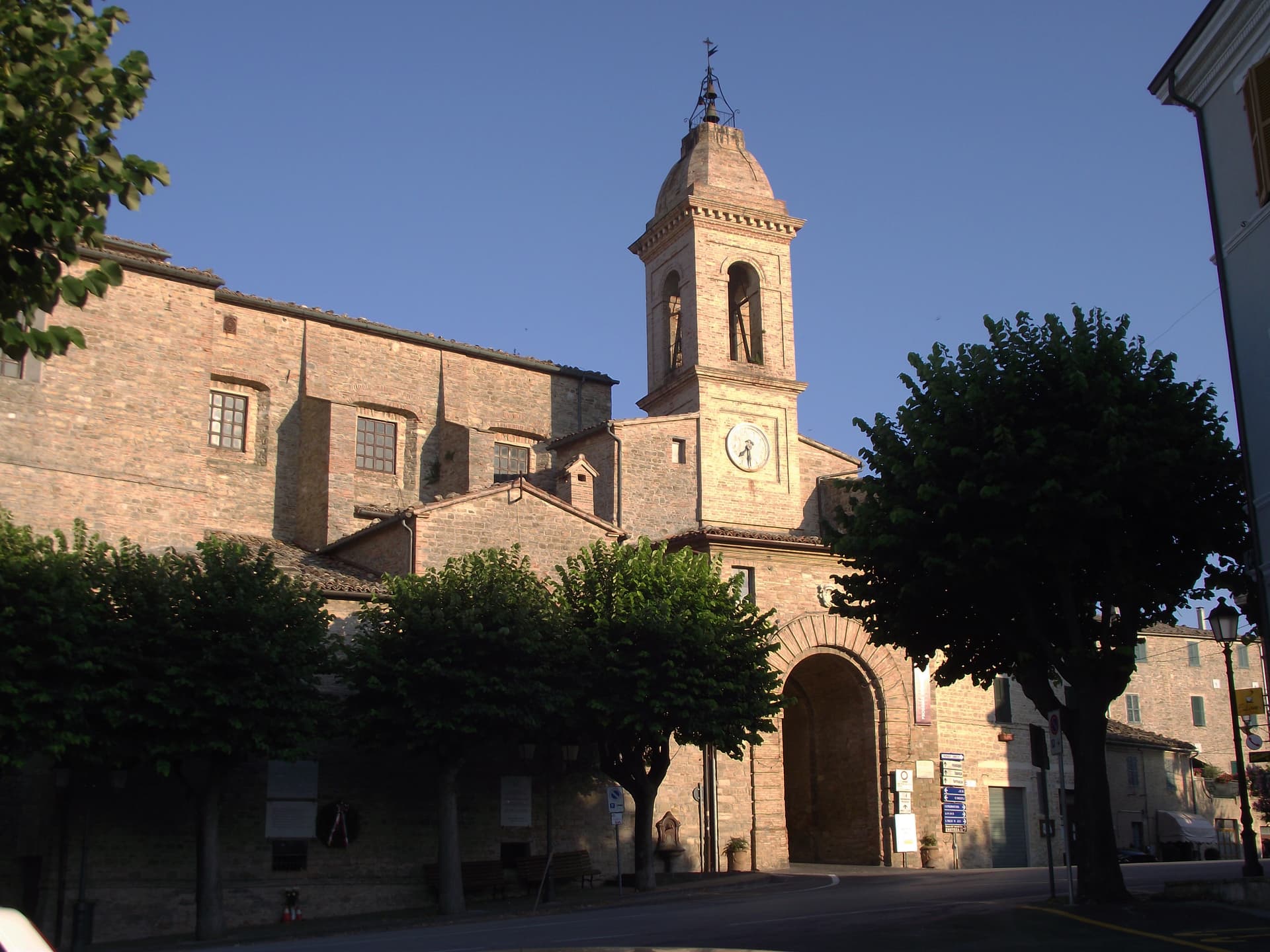
Staffolo
Province: Ancona
both inland, away from the coast · both under 3,000 people
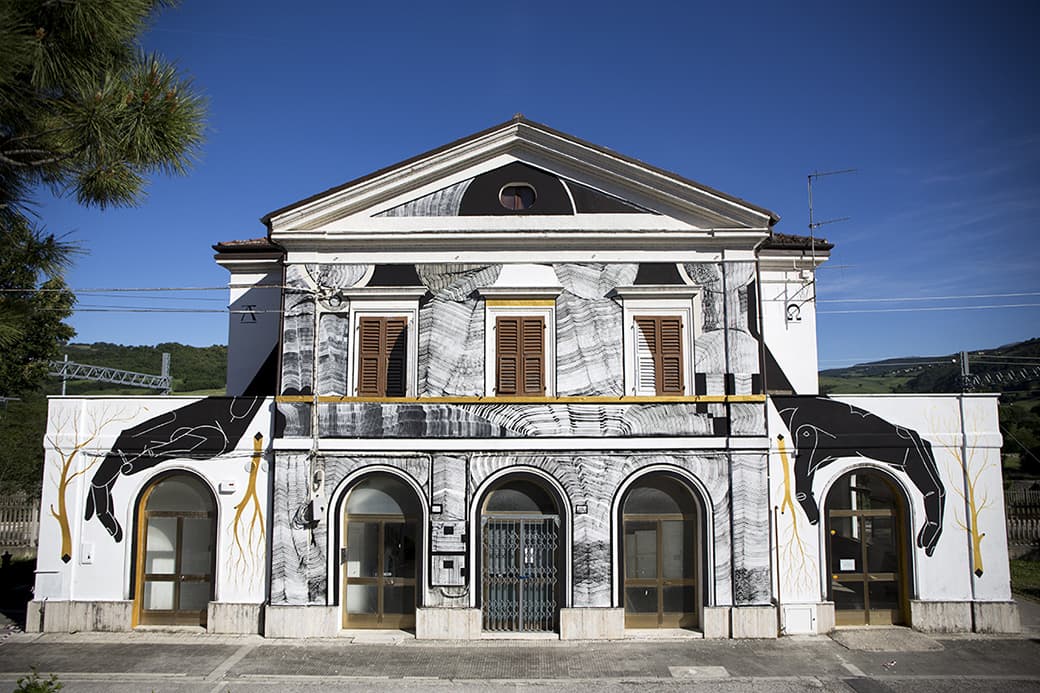
Serra San Quirico
Province: Ancona
both inland, away from the coast · both under 3,000 people
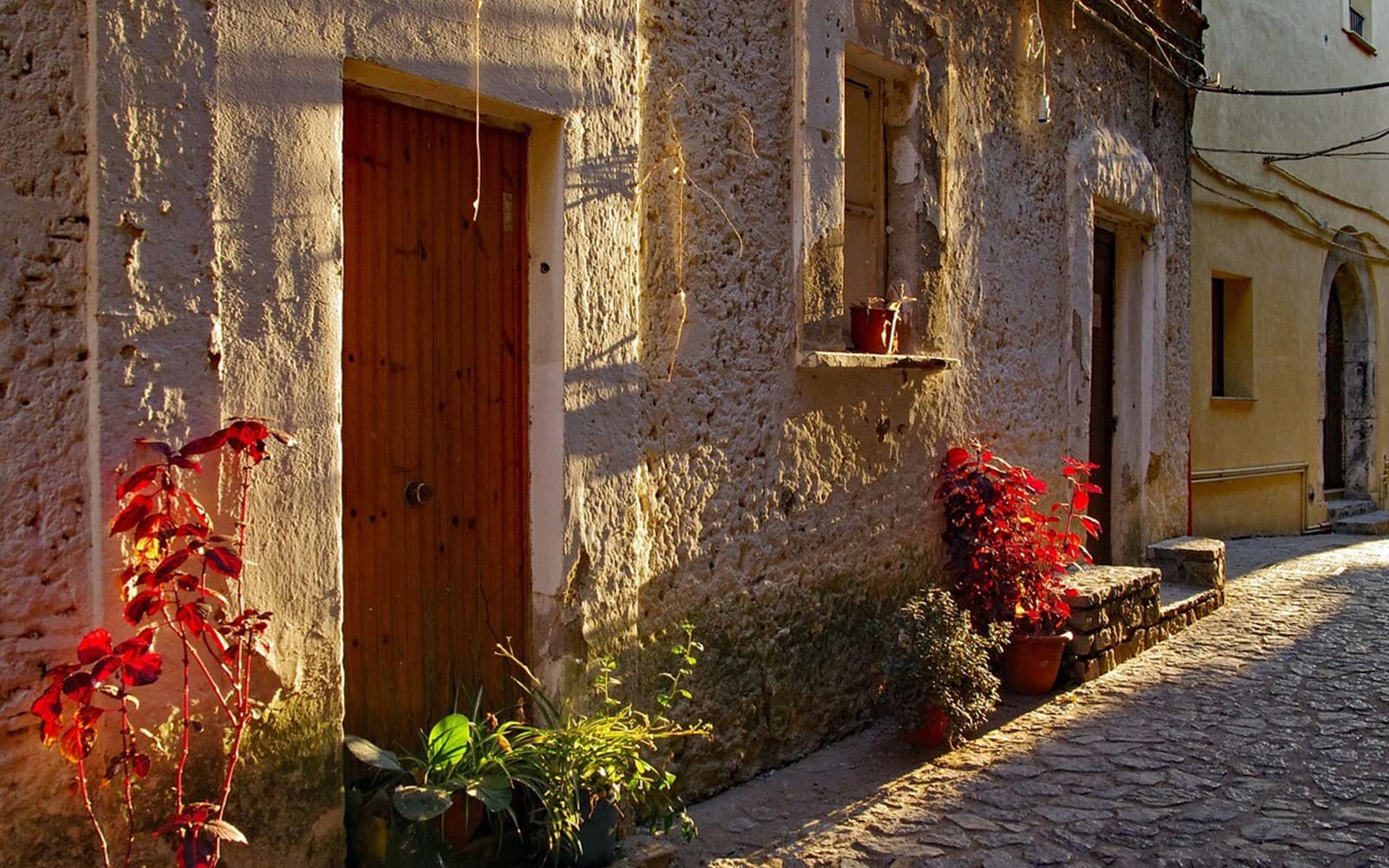
Magliano di Tenna
Province: Fermo
both inland, away from the coast · both under 3,000 people
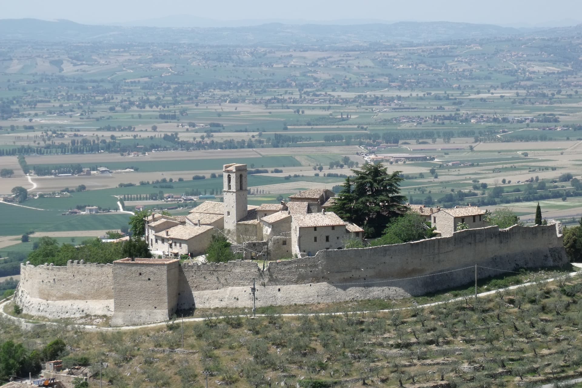
Campello sul Clitunno
Province: Perugia
both inland, away from the coast · both under 3,000 people
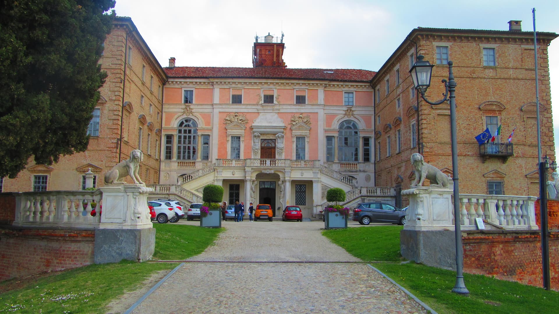
Govone
Province: Cuneo
both inland, away from the coast · both under 3,000 people
🎨 Borghi più belli d'Italia
More Borghi più belli d'Italia towns in Marche
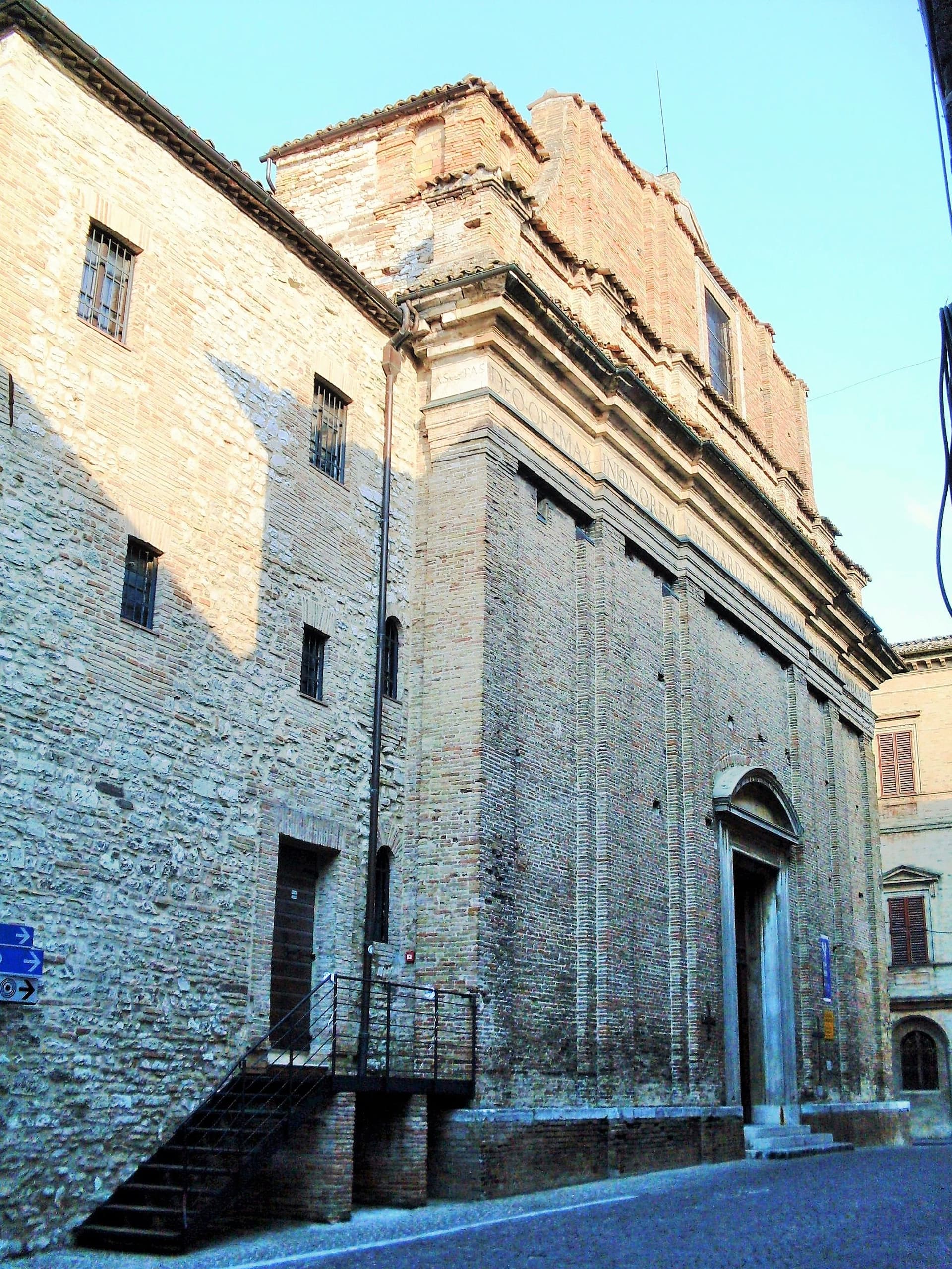
Arcevia
Province: Ancona
A hilltop borgo at 535 meters above the Misa and Nevola valleys, defended in the Middle Ages by a ring of nine satellite castles.
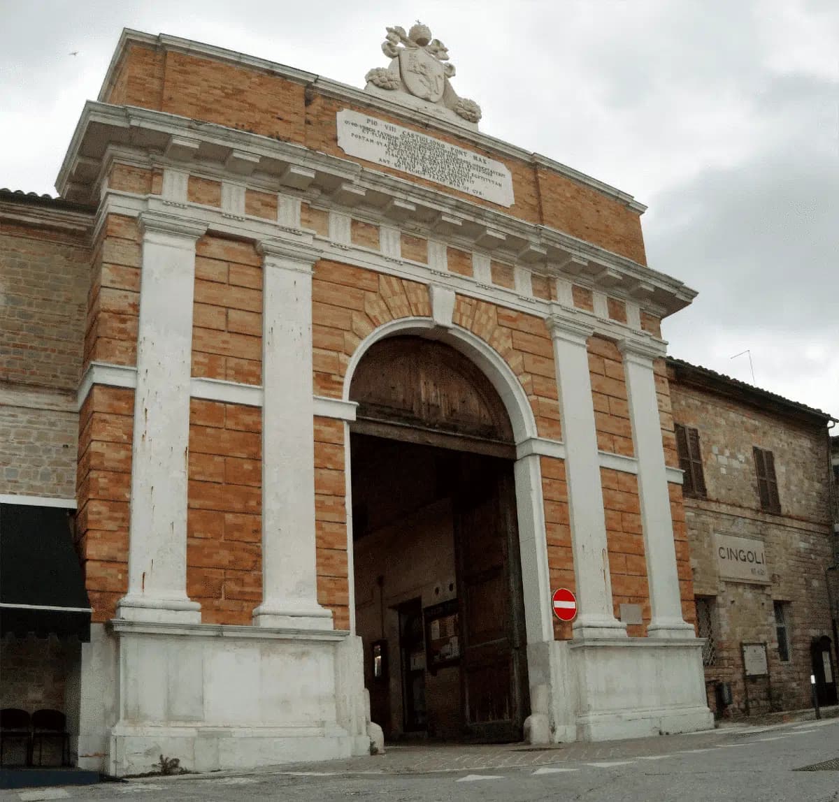
Cingoli
Province: Macerata
The Balcone delle Marche at 631 meters, a hilltop borgo where on clear days the view runs from the Sibillini to the Croatian coast.
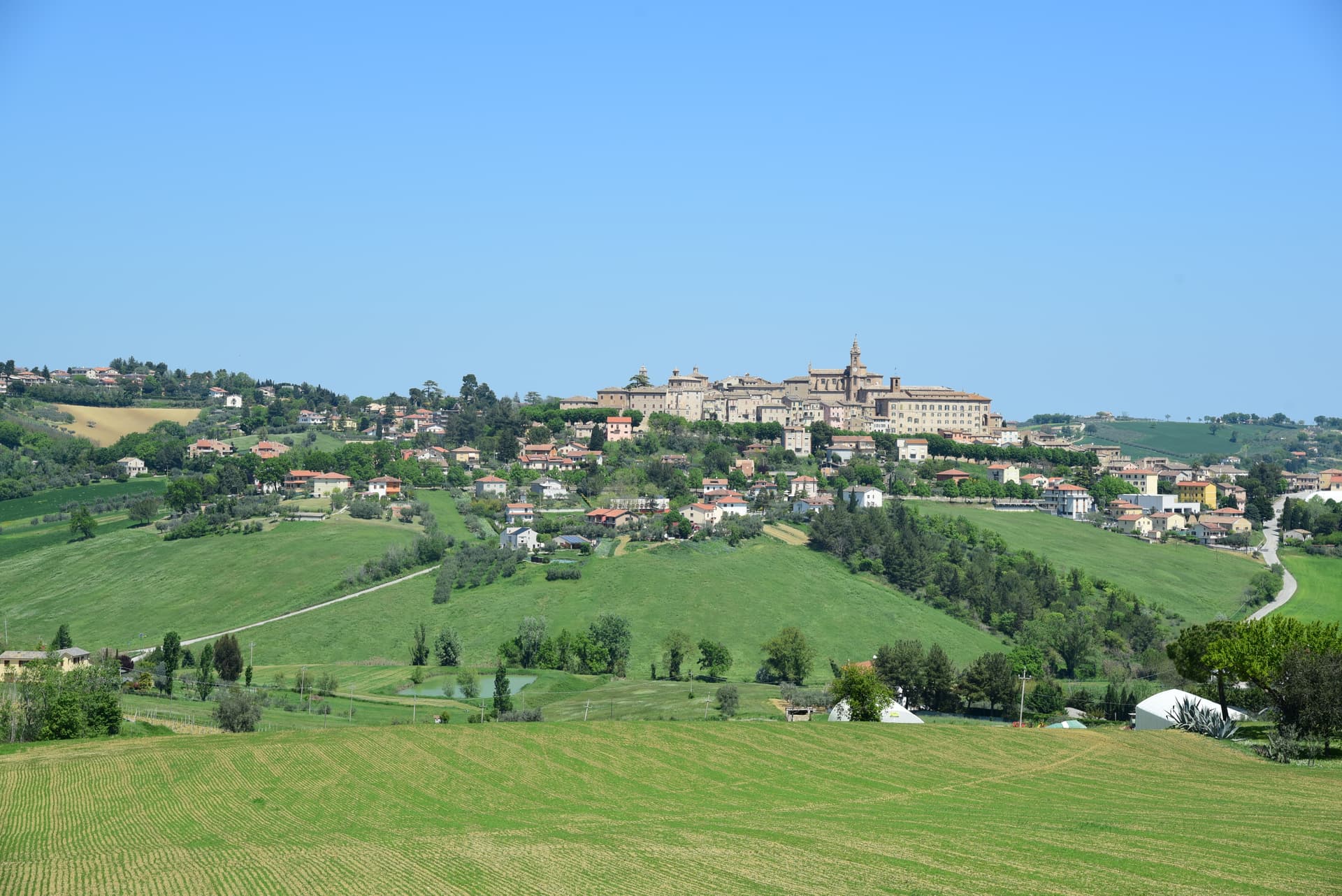
Corinaldo
Province: Ancona
A walled hill borgo at 203 meters, ringed by 912 meters of intact medieval walls, and the birthplace of Saint Maria Goretti.
Esanatoglia
Province: Macerata
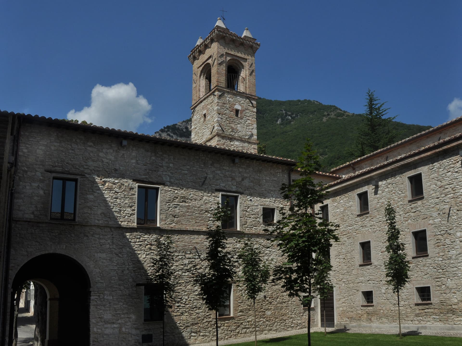
A medieval village of seven bell towers at 358 meters on the Marche-Umbria border, sitting at the source of the Esino river.
Fermo
Province: Fermo
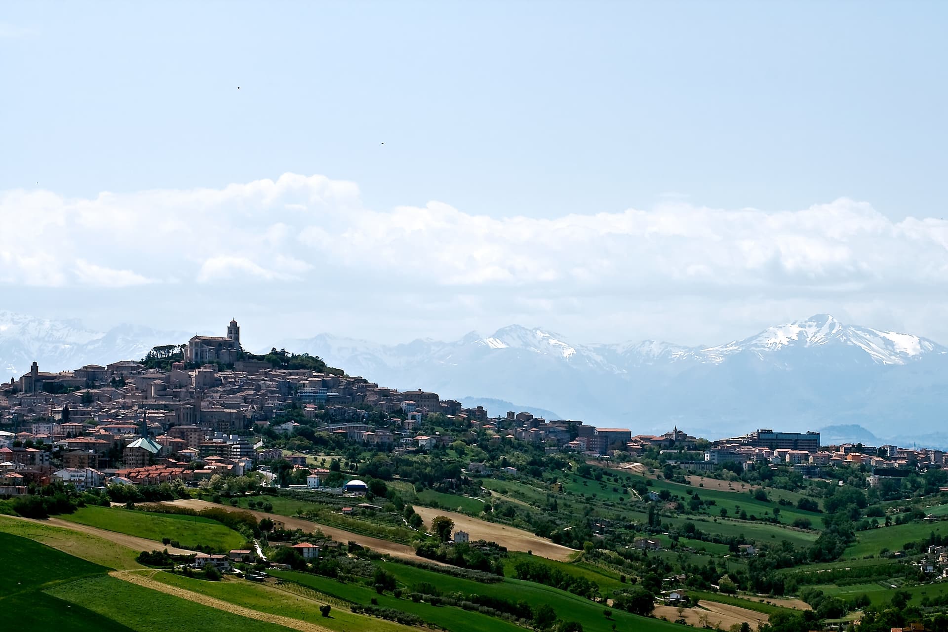
The provincial capital on the Sabulo hill at 319 meters, with 2,200 square meters of Augustan Roman cisterns running under the centro storico.