
Campania · Avellino
Mercogliano
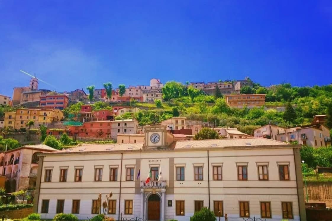
A 550-meter Irpinia town on the slope of Partenio, gateway to the Montevergine Sanctuary 1,270 meters above.
- Best time
- Apr–Oct
- By car
- 53 min from Naples
- Population
- 11,492
Known for
MAMMA SCHIAVONA
Thirteenth-century Black Madonna icon of Montevergine, recognized as protector by Neapolitan femminielli for over seven centuries.
PARTENIO
Limestone massif of the Apennine chain above the town, rising from 550 meters to 1,480 meters of beech and chestnut forest.
FUNICOLARE
1956 cable line climbing 700 vertical meters from Mercogliano to the sanctuary at Montevergine in eight minutes.
FIANO DI AVELLINO
The commune lies inside the Fiano di Avellino DOCG production zone.
When to visit
Best · Apr–Oct
- J9°
- F11°
- M12°
- A15°
- M20°
- J25°
- J30°
- A29°
- S24°
- O20°
- N14°
- D11°
- Best
- Hot or crowded
- Quiet
- Mostly closed
Daytime averages, 2020–2024. Weather data by Open-Meteo.com.
The festa: Modestino, Fiorentino e Flaviano, 14 February
Why come
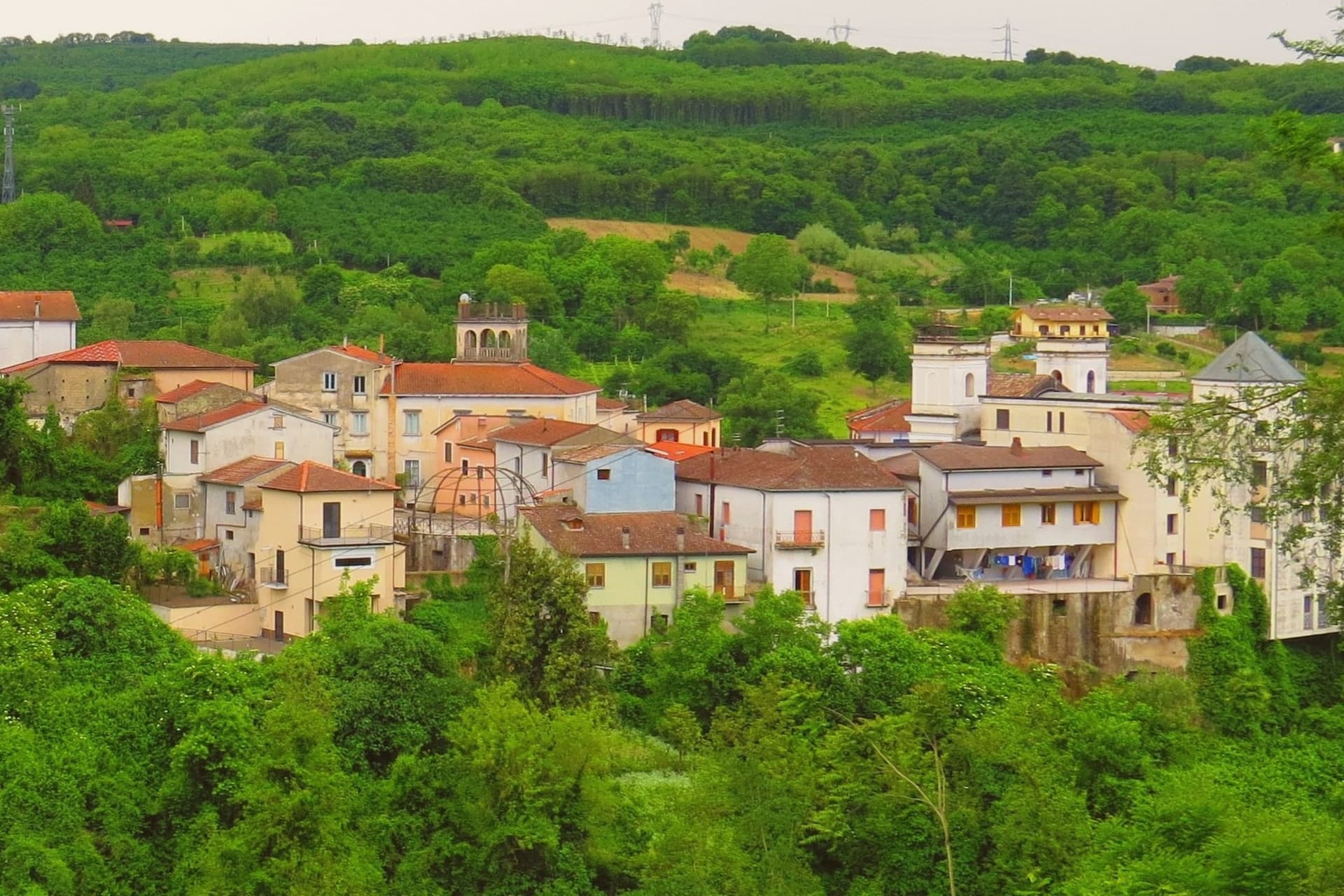
Mercogliano sits five kilometers from Avellino, on the western flank of the Partenio massif. The town itself is residential, much rebuilt after the 1980 Irpinia earthquake, and functions mainly as the base from which the mountain above it is reached. Below the funicular stands the old Loreto abbey complex, once the administrative center of the Montevergine monks, and in the lower town the parish church of Santa Maria delle Grazie serves as the gathering point each year for pilgrims setting out on foot up the mountain, the same route the funicular now shortens to a few minutes. Higher up, at the sanctuary, the Madonna of Montevergine is venerated as the Black Madonna, Mamma Schiavona.
The chestnut woods that surround the town produce the Avella hazelnut and several DOP chestnut varieties, and most visitors passing through are pilgrims or hikers heading for the mountain rather than people staying in town. The layout is vertical rather than sprawling: a working lower town feeding a devotional upper one, with the abbey, the church and the cable line marking the stages between them.
The Sunday letter
Mercogliano is on our list. Its letter is still to come.
We are writing about all 1,000 of these towns, one at a time, in a free letter every Sunday: the photo, the food, the festa. That is our mission. Sign up and you will be there when Mercogliano comes up. By Peter & Sophia, from Pietrasanta.
Read on
Mercogliano in our articles
 The best wine towns within 90 minutes of Naples6 towns, Mercogliano among them.
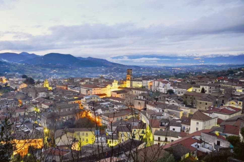 The 7 best hill towns that eat well in Campania7 towns, Mercogliano among them.
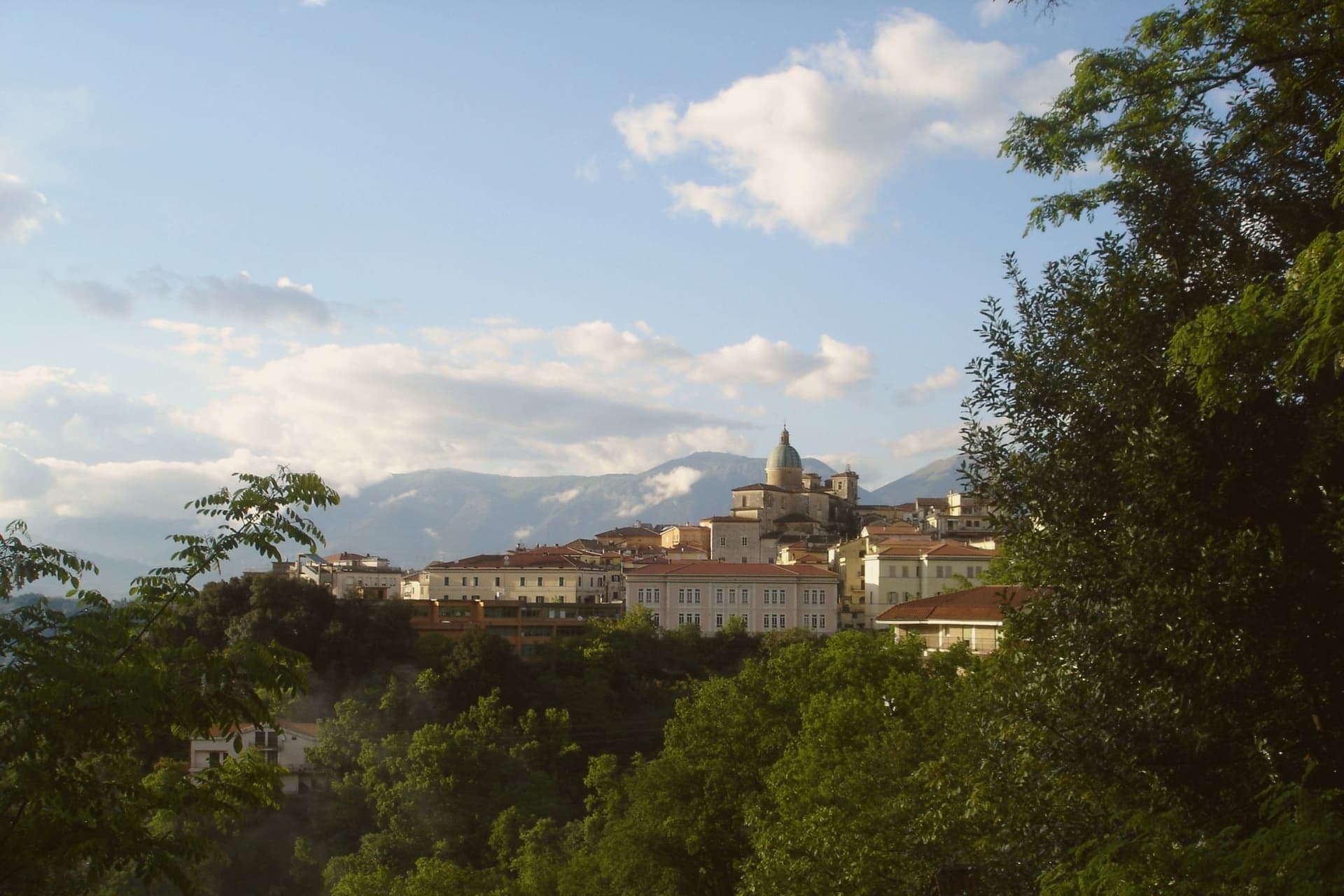 The best hill towns that eat well within 90 minutes of Napoli8 towns, Mercogliano among them.
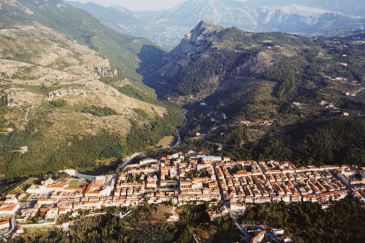 The best hidden hill towns within 90 minutes of Napoli9 towns, Mercogliano among them.
How to get there
From Naples / Salerno (NAP), about 49 minutes by car.
Bari / Brindisi (BRI) is about 2h 43m away.
By car from the centre of Naples 53 minutes, Salerno 54 minutes or Bari 2h 47m.
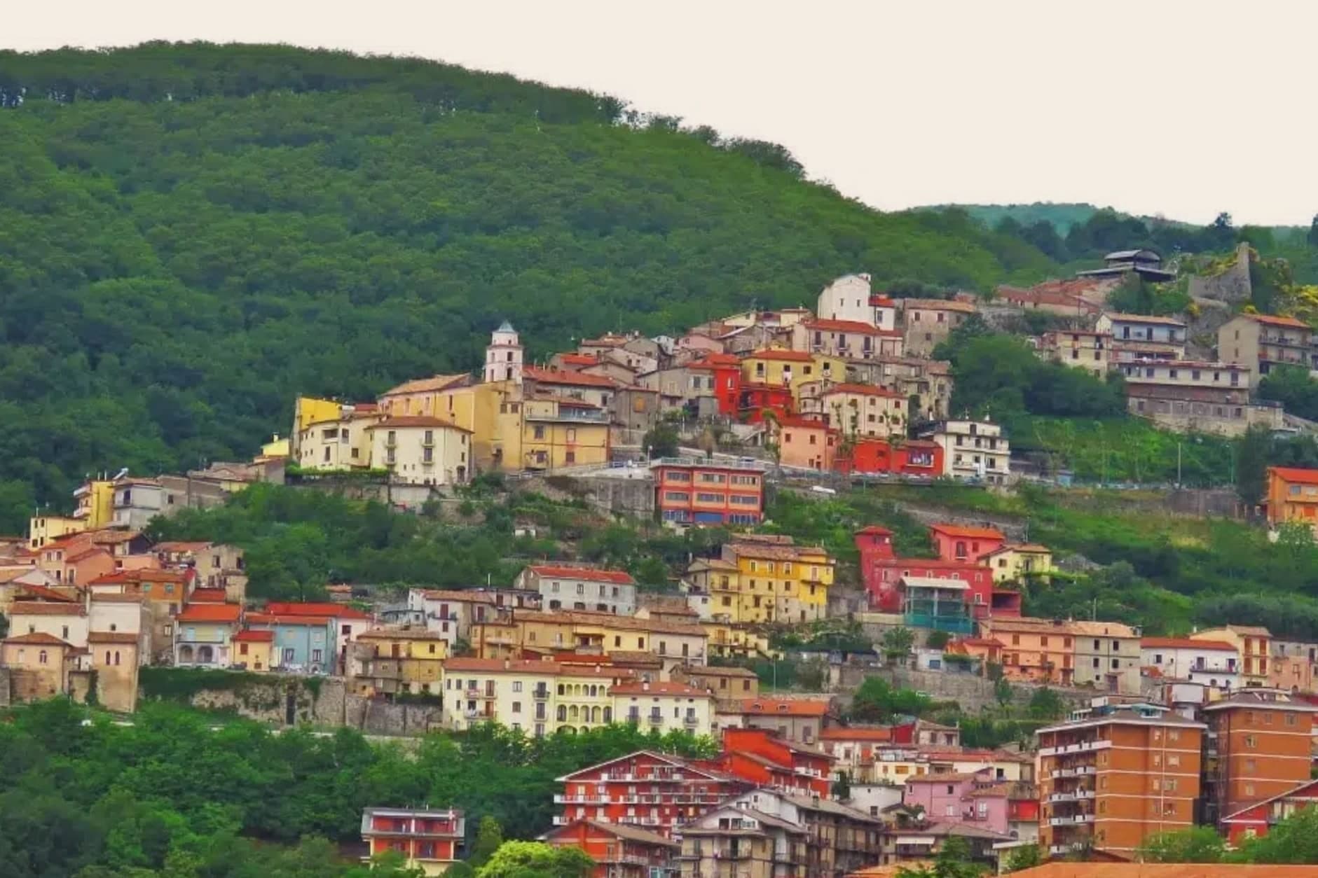
Coming by train into Napoli Centrale? Mercogliano is about 53 minutes away by road.
What to see
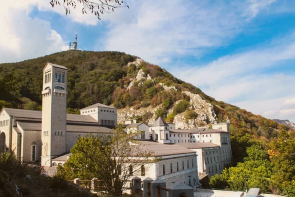
Santuario di Montevergine
Founded by William of Vercelli in 1124. The icon inside draws over a million pilgrims a year, with a Candelora procession on February 2 that fills the mountain above the town.
Abbazia del Loreto
Eighteenth-century Baroque abbey complex at the base of the funicular, former administrative seat of the Montevergine congregation.
Funicolare di Montevergine
The main route up the mountain since the donkey path closed, carrying pilgrims and hikers past the abbey toward the sanctuary.
Parco Regionale del Partenio
Regional park covering the limestone massif above the town, with beech and chestnut forest up to 1,480 meters.
Chiesa di Santa Maria delle Grazie
Parish church of the lower town, the gathering point for the start of the annual pilgrimage on foot up to Montevergine.
The slow-trip planner
Building a trip? Find where Mercogliano fits in a slow Italy circuit.
Answer five questions. We will shape a geographically coherent slow trip from the 1,000 Italian towns most travelers skip. Yours to save and share.
We recommend
Where to eat
Not our picks, but places the guides put their name to: a Michelin star, a Gambero Rosso fork, a Slow Food snail, a Michelin Key for the hotels. Worth a table, a counter, or a night when you pass through.
I SantiRistorante
I Santi has a Slow Food snail to its name.
Living here
- Population 11,492
- Commuter belti
- Pharmacy in town
- High school within a 30-minute drive
- Nearest airport Naples / Salerno, 49 min drive
- Regional capital Napoli, 53 min drive
Common questions
- What is Mercogliano known for?
- Mercogliano is a 550-meter Irpinia town on the slope of Partenio, gateway to the Montevergine Sanctuary 1,270 meters above.
- Where is Mercogliano?
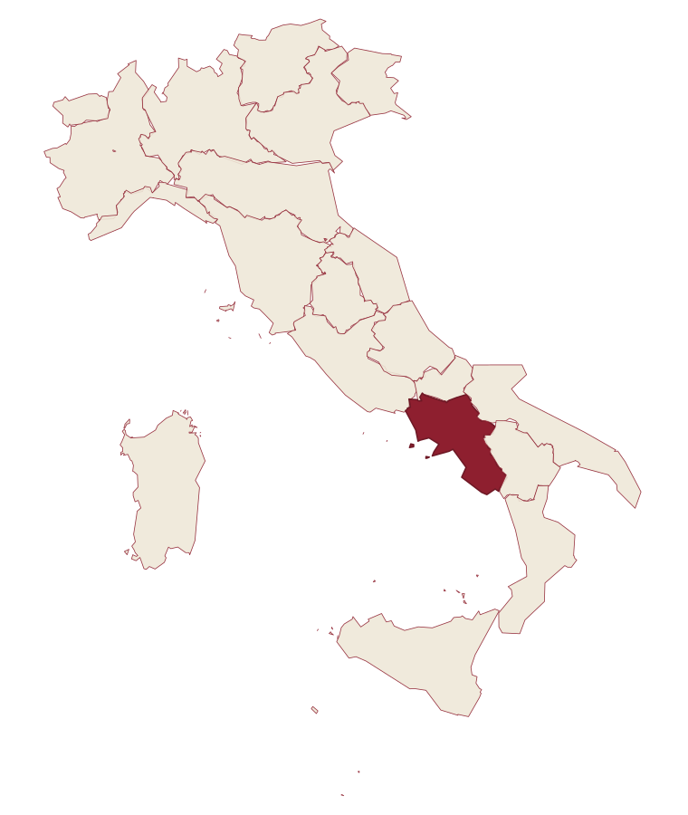
- Mercogliano is a comune in the province of Avellino, in Campania, at 550 meters above sea level.
- What is the nearest airport to Mercogliano?
- Naples / Salerno (NAP), about 49 minutes by car.
- How long is the drive from Naples to Mercogliano?
- About 53 minutes by car.
- When is the best time to visit Mercogliano?
- Best in Apr–Oct. July is the warmest month, averaging 30 degrees, and May the wettest, with about 16 rain days.
- Is there a sagra or a festival in Mercogliano?
- The town keeps its patron saint's day: Modestino, Fiorentino e Flaviano, 14 February.
- Which other towns are like Mercogliano?
- Verucchio, Bertinoro and Casamassima.
- How many people live in Mercogliano?
- 11,492 at the 2023 count.
Tags & datadesignations · numbers · sources
Recognised as
The numbers
- Elevation: 550 m
- Population: 11,492
- Surface area: 19.92 km²
These figures were compiled from public directories: ISTAT, OpenStreetMap and Wikidata, and from the official listings of the guides named on this page. Town details change; verify with official sources before you travel.
Similar
Towns like Mercogliano
Verucchio
Province: Rimini
both inland, away from the coast · both over 10,000 people
Bertinoro
Province: Forlì-Cesena
both inland, away from the coast · both over 10,000 people
Casamassima
Province: Bari
both inland, away from the coast · both over 10,000 people
Montesarchio
Province: Benevento
both inland, away from the coast · both over 10,000 people
Sessa Aurunca
Province: Caserta
both inland, away from the coast · both over 10,000 people
Isernia
Province: Isernia
both inland, away from the coast · both over 10,000 people
🌳 Parco Regionale
More Parco Regionale towns in Campania
Amalfi
Province: Salerno
The first Italian maritime republic and the coast it named, six meters above the sea between cliffs that close around the duomo's steps.
Atrani
Province: Salerno
The smallest commune in Italy by area, twelve hectares of stacked houses where the Amalfi Coast pinches shut around a single piazza.
Bacoli
Province: Napoli
A town twenty kilometers west of Napoli, the Roman Bauli, where a cistern fed the imperial fleet at Miseno.
Cetara
Province: Salerno
The Amalfi Coast's working tuna and anchovy port, where colatura di alici is still aged in chestnut barrels in the cellars behind the marina.
Conca dei Marini
Province: Salerno
A coastal hamlet of 664 people on the Amalfi Coast, home to a monastery pastry and a sea cave that glows green.