
Lombardy · Pavia
Fortunago
A 365-resident village on a 482-meter ridge, with stone façades, porphyry streets and the production zone of Salame di Varzi at its doorstep.
- Best time
- Apr–Oct
- By car
- 1 h 24 min from Milan
- Population
- 365
Known for
SALAME DI VARZI
Production zone of the PDO cured sausage, with an annual festival in the village judging Oltrepò Pavese salumi producers.
STONE RESTORATION
Comprehensive recovery of exposed-stone façades, wooden windows and porphyry paving across the centro storico, the basis for the Borghi più belli badge.
OLTREPÒ PAVESE
Position in the Apennine wine-and-salumi half of the province, between Varzi to the south and the Pinot Nero vineyards to the east.
When to visit
Best · Apr–Oct
- J7°
- F10°
- M12°
- A15°
- M20°
- J25°
- J28°
- A28°
- S23°
- O17°
- N11°
- D7°
- Best
- Hot or crowded
- Quiet
- Mostly closed
Daytime averages, 2020–2024. Weather data by Open-Meteo.com.
Why come
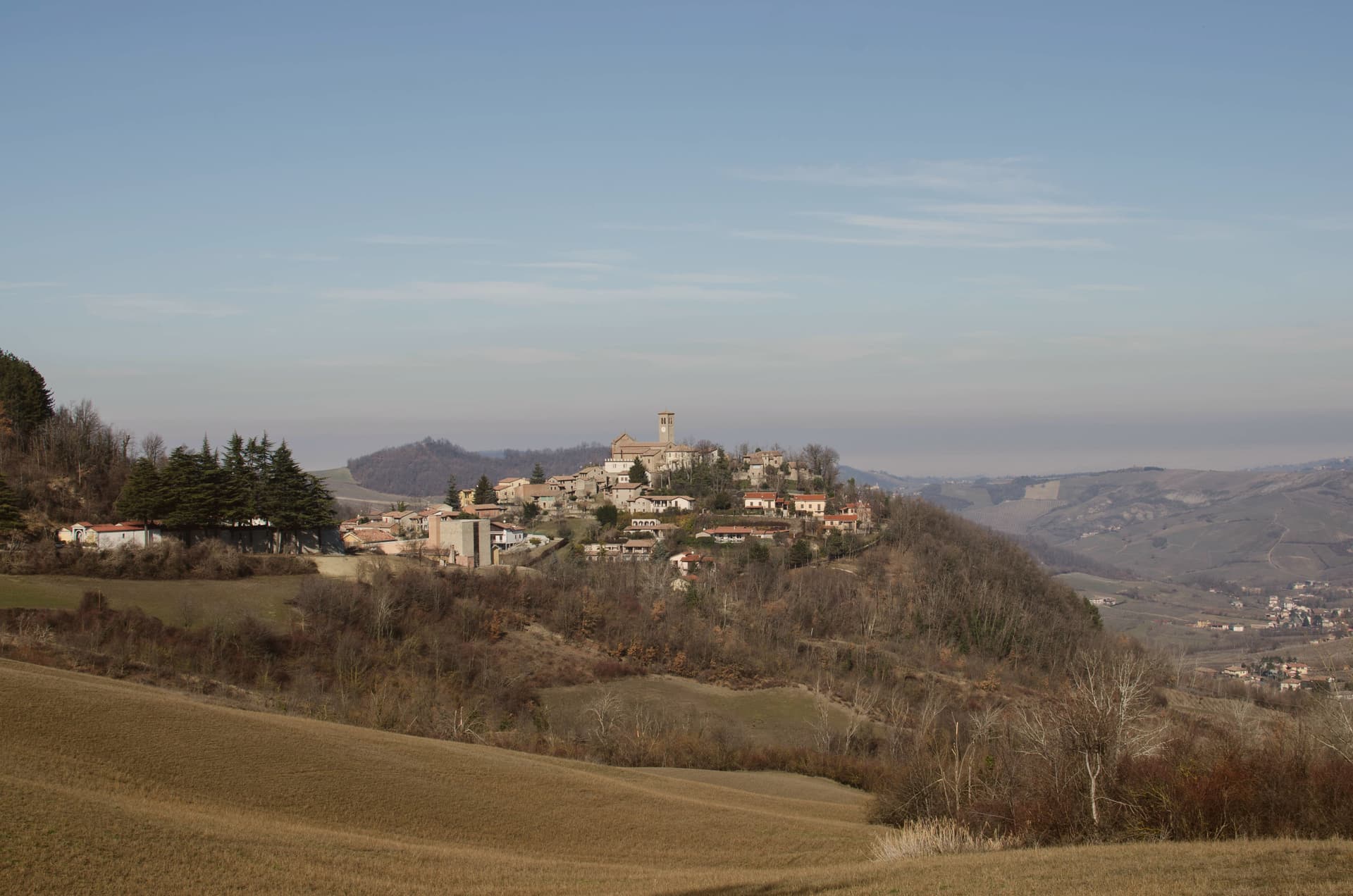
The name Fortunago comes from the Celtic Fortunacus, a settlement marked above a watercourse. The village sits in the Apennine half of the Oltrepò Pavese, the wedge of Pavia province that crosses the Po and presses south toward Liguria, with Varzi to the south and Pinot Nero vineyards to the east. The centro storico climbs the ridge in a single line: the oratory on the lower slope, the church at the upper end, the tower and wall on the rise just past it, so that walking through the village is walking up through its history in order, watercourse settlement, medieval defense, then parish seat.
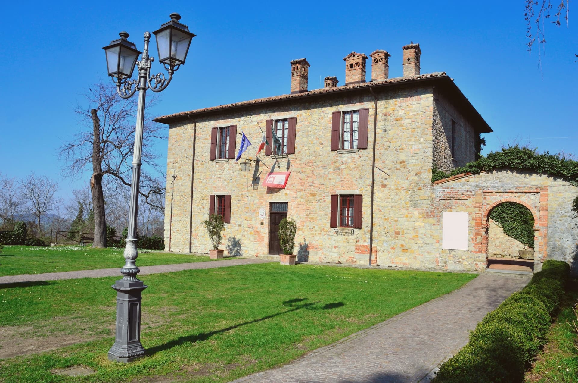
Above it all the hills carry oak and chestnut wood and a pasture plateau. What holds the place together is the stone itself: the same exposed façades, wooden shutters and porphyry paving run from the lower oratory to the upper church, restored as one piece rather than as separate monuments, which is why the village reads as a whole settlement rather than a scatter of old buildings.
The Sunday letter
Fortunago is on our list. Its letter is still to come.
We are writing about all 1,000 of these towns, one at a time, in a free letter every Sunday: the photo, the food, the festa. That is our mission. Sign up and you will be there when Fortunago comes up. By Peter & Sophia, from Pietrasanta.
Read on
Fortunago in our articles
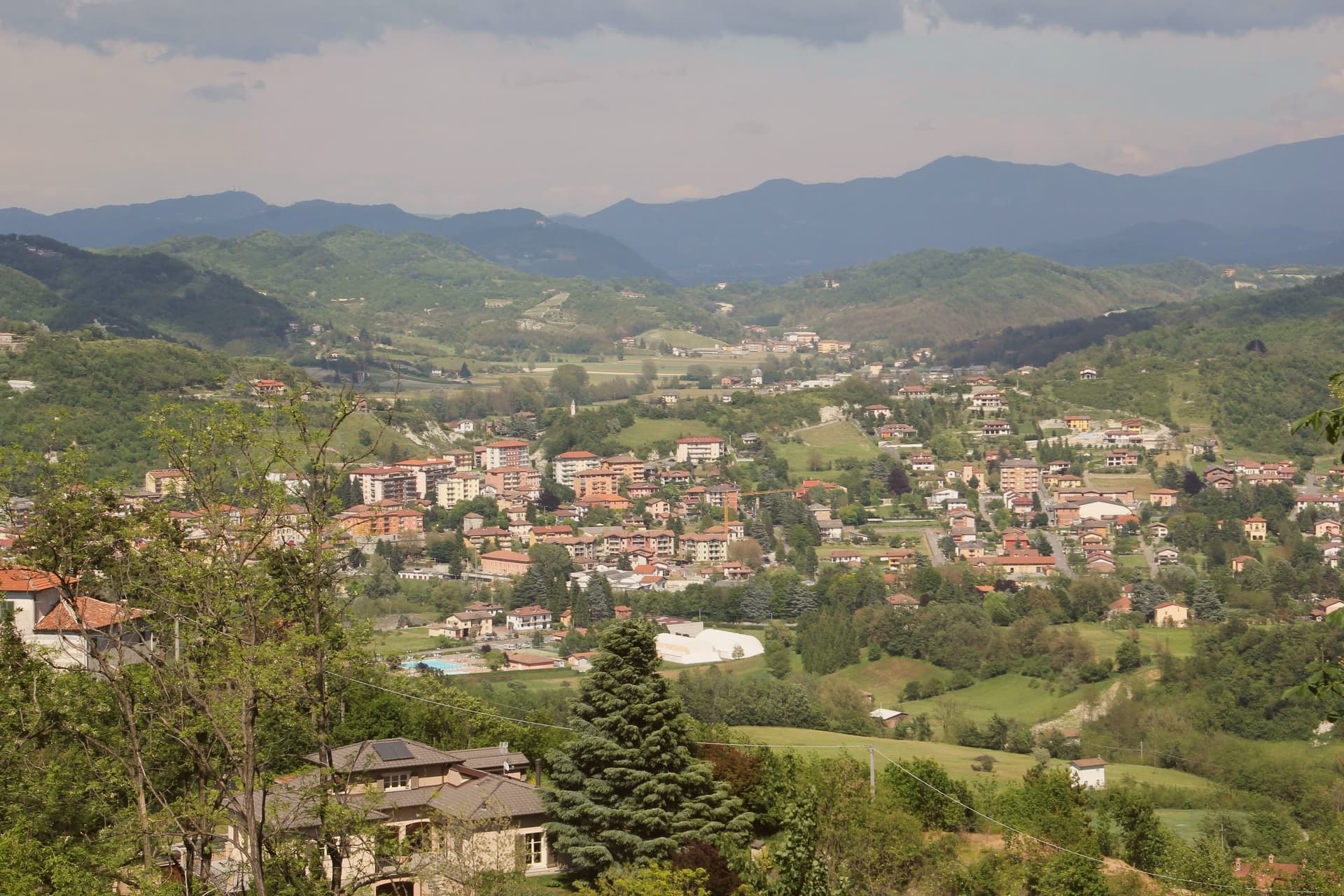
 The best towns that cure their own meat within two hours of Brescia7 towns, Fortunago among them.
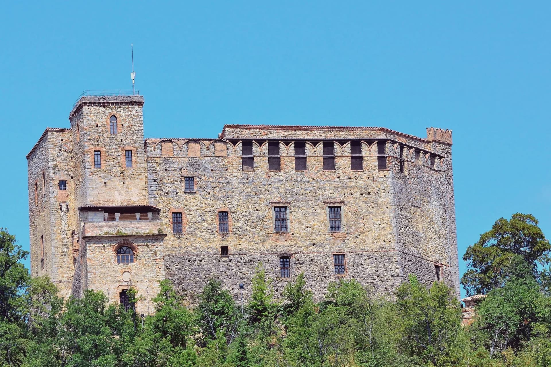
 The best wine towns within 90 minutes of Milan7 towns, Fortunago among them.
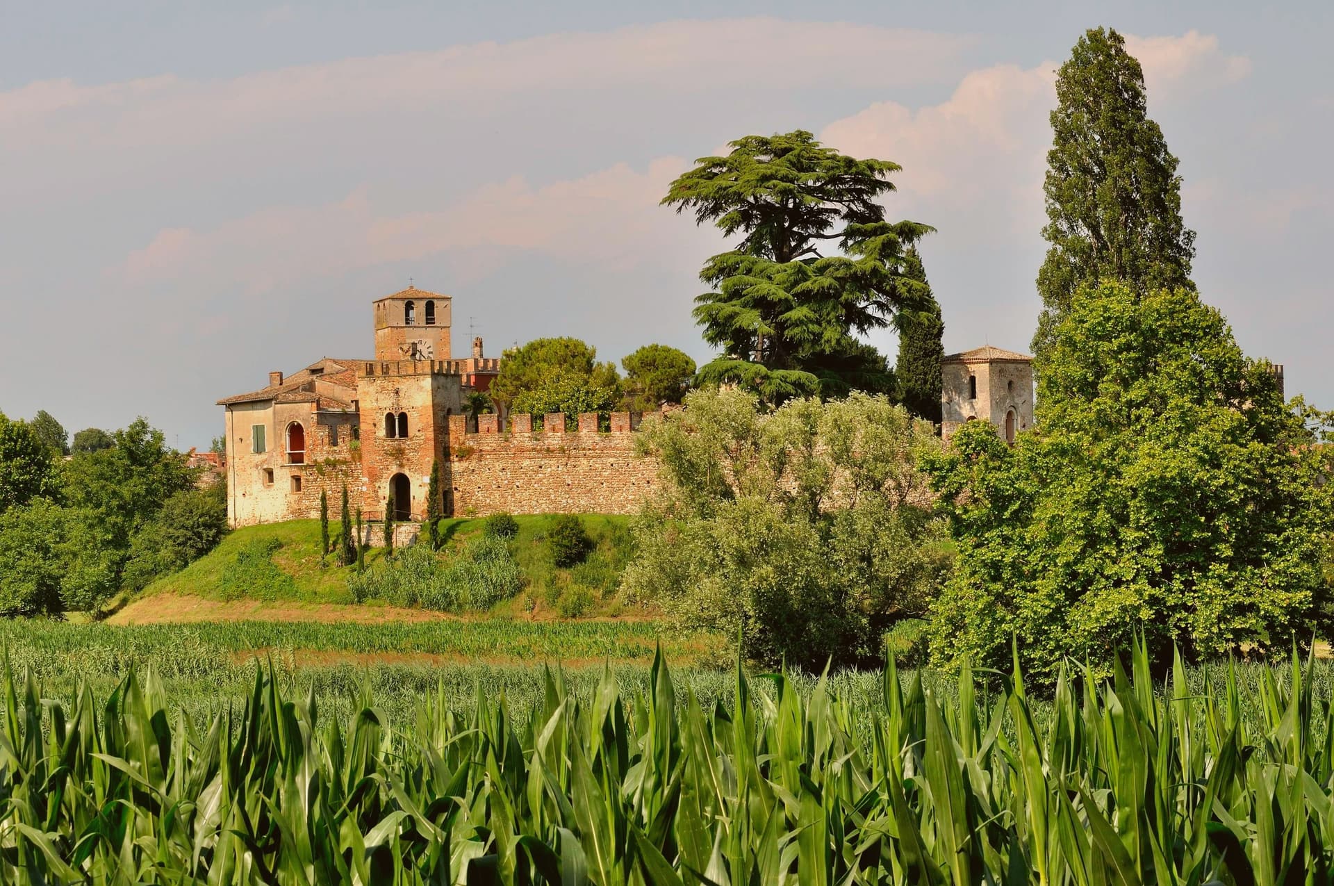
 The best hill towns within 90 minutes of Piacenza8 towns, Fortunago among them.
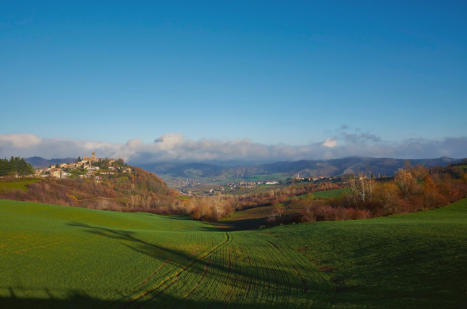
 The best hidden hill towns in Lombardia9 towns, Fortunago among them.
How to get there
From Genoa (GOA), about 1h 48m by car.
Milan (BGY) is about 2 hours away.
By car from the centre of Parma 1h 41m.
Coming by train into Milano Centrale? Fortunago is about 1h 25m away by road.
What to see
Chiesa di San Giorgio
Tempera triptych on wood signed Pesina inside, the church dominating the upper end of the village and visible above the rooftops.
Torre del castello
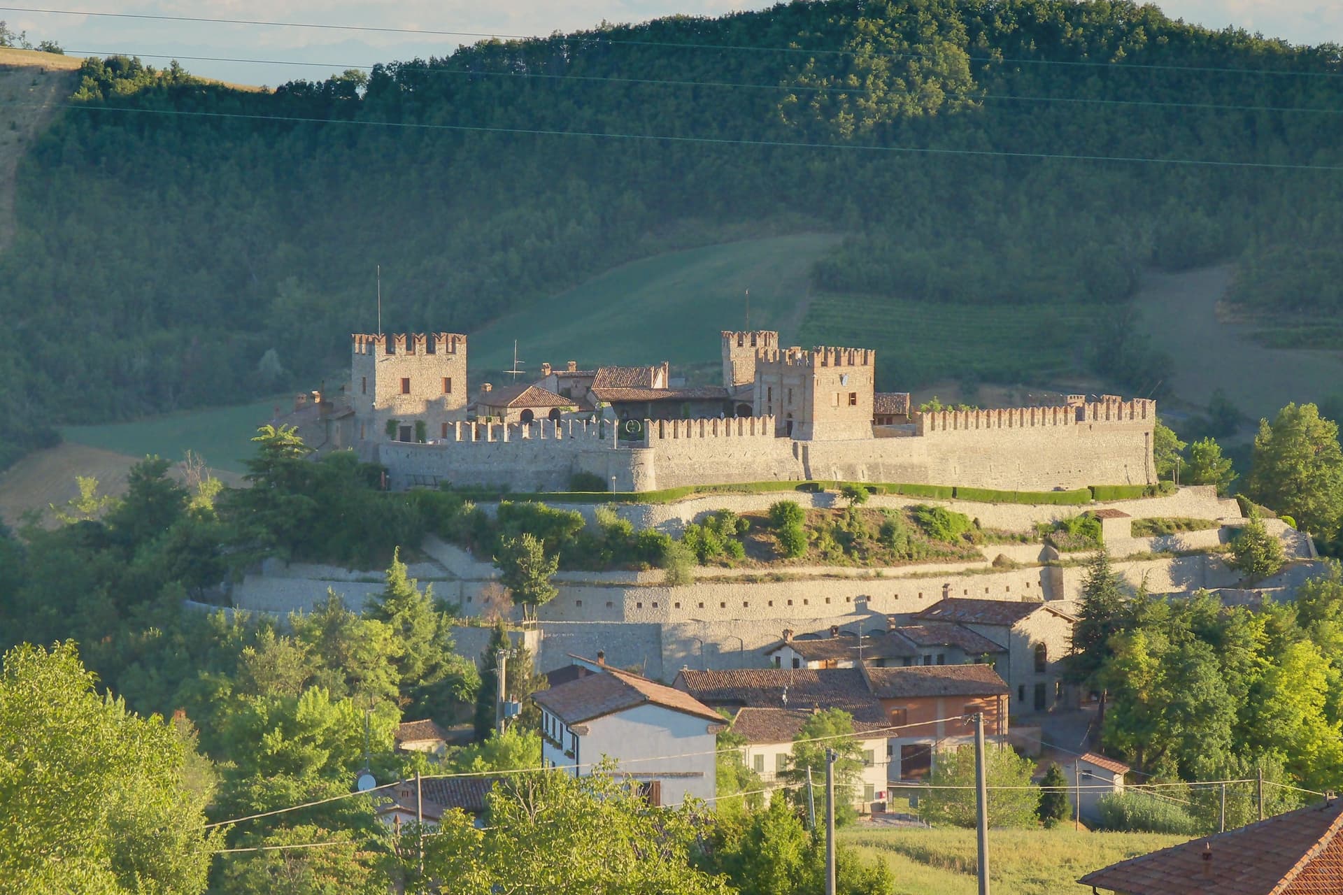
One tower and a run of wall, all that stands of the fortress that once held the rise above the church.
Oratorio di Sant'Antonio Abate
Chapel dedicated to the Virgin of Sorrows, set on the slope below the centro storico, away from the village's main religious building.
Parco a 600 metri
Oak and chestnut cover the plateau above the village, walked in spring for the wildflowers and in autumn for mushrooms.
The slow-trip planner
Building a trip? Find where Fortunago fits in a slow Italy circuit.
Answer five questions. We will shape a geographically coherent slow trip from the 1,000 Italian towns most travelers skip. Yours to save and share.
Living here
- Population 365
- Commuter belti
- Pharmacy: none mapped
- Nearest high school over ~30 minutes away
- Nearest airport Genoa, 1 h 48 min drive
- Regional capital Milano, 1 h 24 min drive
Common questions
- What is Fortunago known for?
- Fortunago is a 365-resident village on a 482-meter ridge, with stone façades, porphyry streets and the production zone of Salame di Varzi at its doorstep.
- Where is Fortunago?
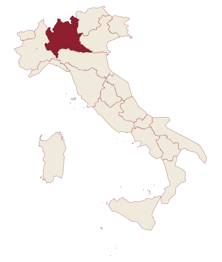
- Fortunago is a comune in the province of Pavia, in Lombardy, at 482 meters above sea level.
- What is the nearest airport to Fortunago?
- Genoa (GOA), about 1h 48m by car.
- How long is the drive from Parma to Fortunago?
- About 1h 41m by car.
- When is the best time to visit Fortunago?
- Best in Apr–Oct. July is the warmest month, averaging 28 degrees, and May the wettest, with about 16 rain days.
- Which other towns are like Fortunago?
- Vallo di Nera, Serralunga d'Alba and Moresco.
- How many people live in Fortunago?
- 365 at the 2023 count.
Tags & datadesignations · numbers · sources
Recognised as
The numbers
- Elevation: 482 m
- Population: 365
- Surface area: 17.83 km²
These figures were compiled from public directories: ISTAT, OpenStreetMap and Wikidata, and from the official listings of the guides named on this page. Town details change; verify with official sources before you travel.
Similar
Towns like Fortunago
Vallo di Nera
Province: Perugia
both inland, away from the coast · both under 1,000 people
Serralunga d'Alba
Province: Cuneo
both inland, away from the coast · both under 1,000 people
Moresco
Province: Fermo
both inland, away from the coast · both under 1,000 people
Verduno
Province: Cuneo
both inland, away from the coast · both under 1,000 people
Scheggino
Province: Perugia
both inland, away from the coast · both under 1,000 people
Serralunga di Crea
Province: Alessandria
both inland, away from the coast · both under 1,000 people
🎨 Borghi più belli d'Italia
More Borghi più belli d'Italia towns in Lombardy
Bagolino
Province: Brescia
A mountain village at 778 meters in the Valle del Caffaro, with a three-day February carnival of masked dancers and violins.
Bellano
Province: Lecco
An eastern shore town where the Pioverna cut a gorge through fifteen million years of rock before reaching the water.
Bienno
Province: Brescia
A medieval ironworking village where water hammers driven by the Grigna stream have shaped wrought iron since the 1200s.
Cassinetta di Lugagnano
Province: Milano
A commune west of Milan with fifteen surviving ville di delizia and Italy's first zero-growth urban plan, adopted in 2007.
Castellaro Lagusello
Province: Mantova
A walled medieval borgo south of Lake Garda, ringed by 13th-century stone walls and overlooking a small heart-shaped natural lake that gives the village its second name and most-photographed silhouette.