
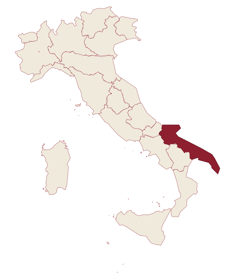
Apulia · Lecce
Corigliano d'Otranto
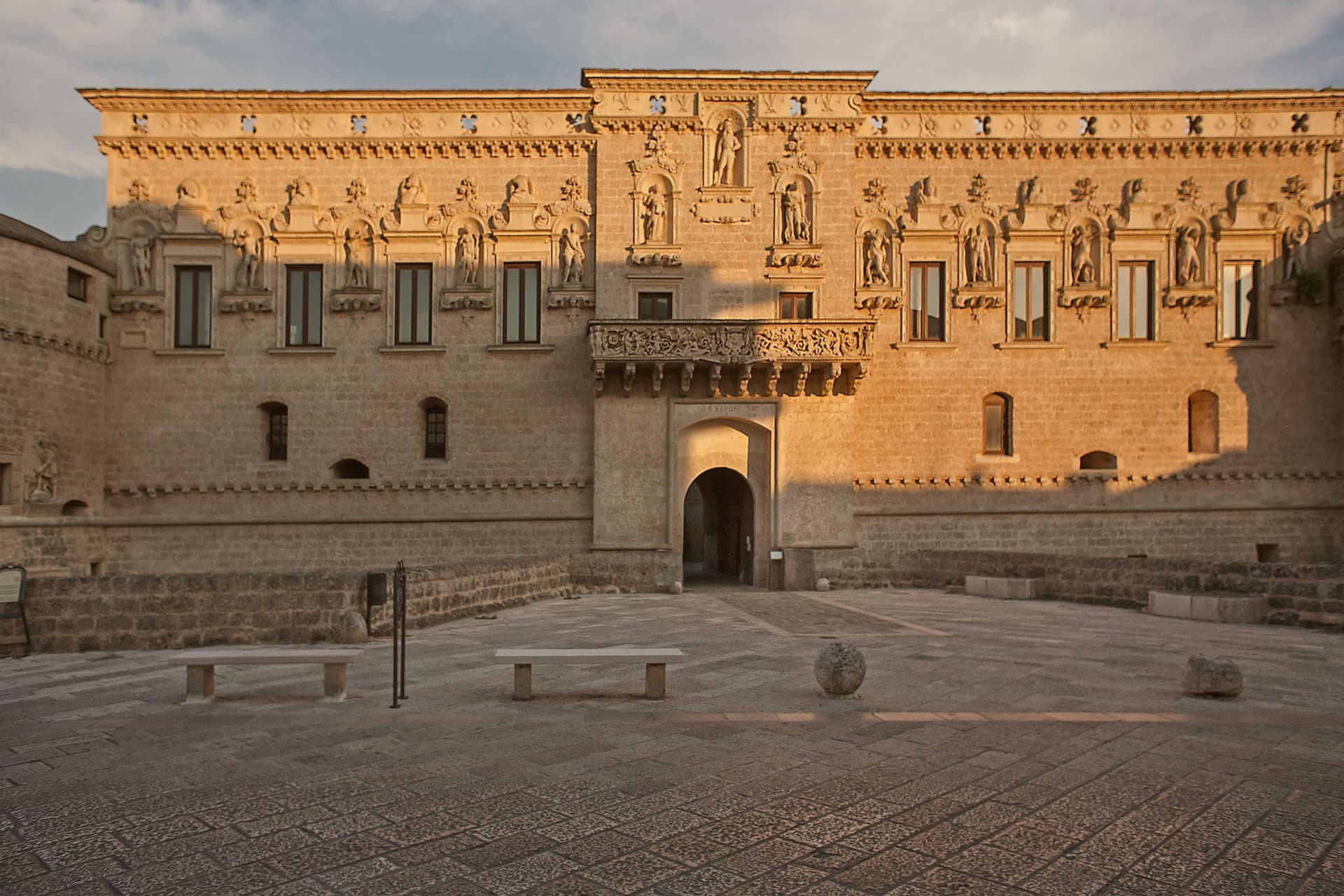
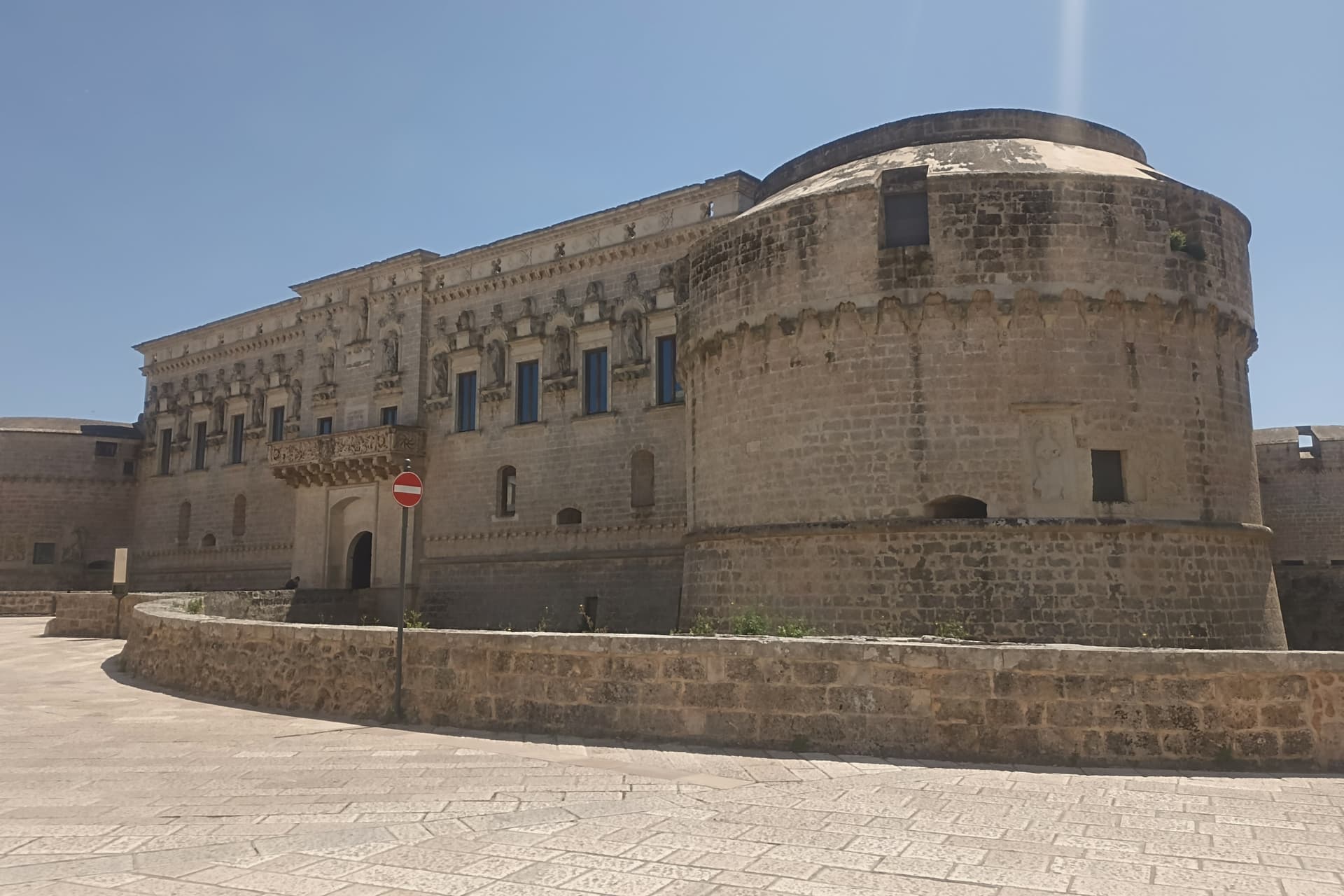
A Griko-speaking town twenty-five kilometers south of Lecce, built around a 1500s Lecce-stone castle of circular towers around a quadrangular plan.
- Best time
- Apr–Oct
- By car
- 26 min from Lecce
- By train
- Station in the comune
- Population
- 5,653
Known for
GRIKO
One of the nine Grecìa Salentina communes where the neo-Greek dialect Griko is still spoken, recognised as a linguistic minority under Italian law 482 of 1999.
CASTELLO DE' MONTI
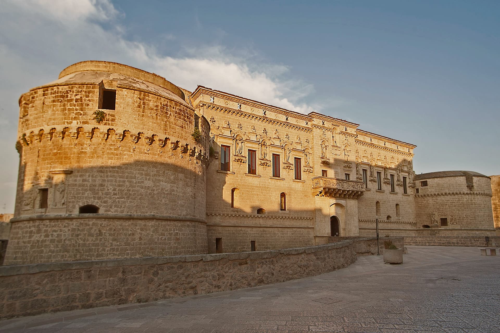
Lecce-stone castle rebuilt from 1515, one of the first in southern Italy with circular towers around a quadrangular plan, the architectural signature of the town.
MEGALITHS
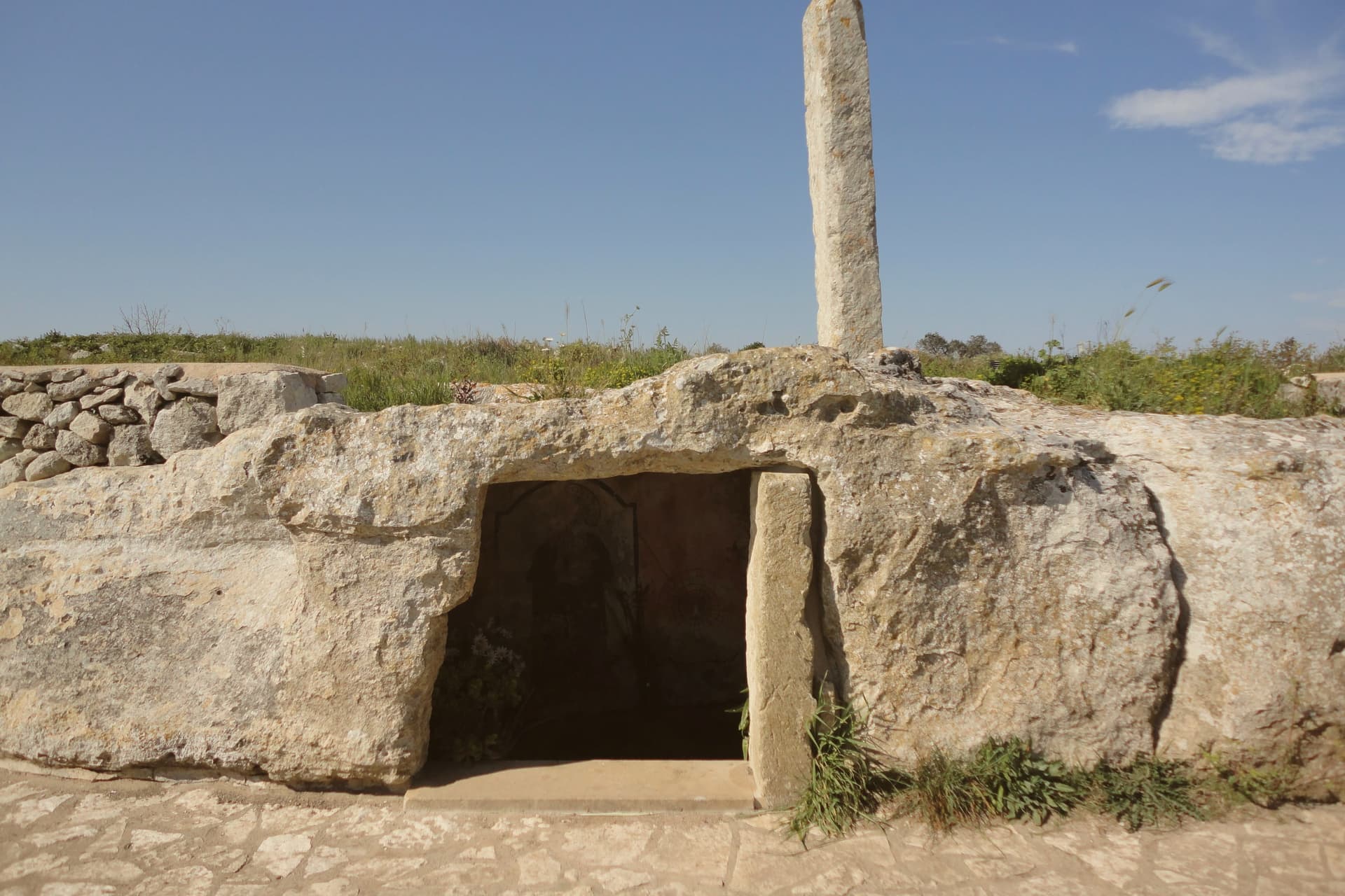
Bronze Age dolmens, specchie and menhirs across the commune, the Caroppo dolmens found in 1993, evidence of habitation around 2000 BC.
When to visit
Best · Apr–Oct
- J14°
- F15°
- M16°
- A19°
- M25°
- J30°
- J34°
- A33°
- S28°
- O23°
- N19°
- D15°
- Best
- Hot or crowded
- Quiet
- Mostly closed
Daytime averages, 2020–2024. Weather data by Open-Meteo.com.
The festa: Nicola di Bari, 23 August
Why come
Corigliano d'Otranto sits on the Salento plateau, twenty-five kilometers south of Lecce. The territory carries one of the densest concentrations of megalithic remains in the area, and the town itself grew around a medieval fort that passed to the de' Monti family, a house of French origin, in 1465. The old town organizes itself around that fort: the centro storico's lanes and baroque palazzi in pale Lecce stone lead to the fort on one side and the parish church on the other, the two structures facing each other as the twin poles of the historic core.
Griko street signs sit alongside the Italian ones throughout, a language surviving in the same streets where Bronze Age dolmens and the sixteenth-century rebuilding mark two very different periods of settlement. The town reads as a place where deep prehistory, a fortified medieval past, and a living minority language occupy the same small footprint rather than separate chapters of its history.
The Sunday letter
Corigliano d'Otranto is on our list. Its letter is still to come.
We are writing about all 1,000 of these towns, one at a time, in a free letter every Sunday: the photo, the food, the festa. That is our mission. Sign up and you will be there when Corigliano d'Otranto comes up. By Peter & Sophia, from Pietrasanta.
Read on
Corigliano d'Otranto in our articles
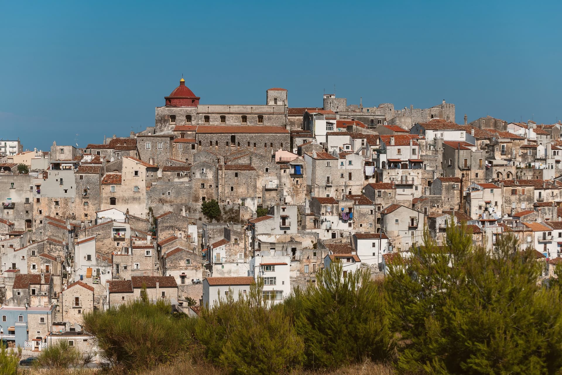
 The 6 best hidden hill towns in the province of Lecce6 towns, Corigliano d'Otranto among them.
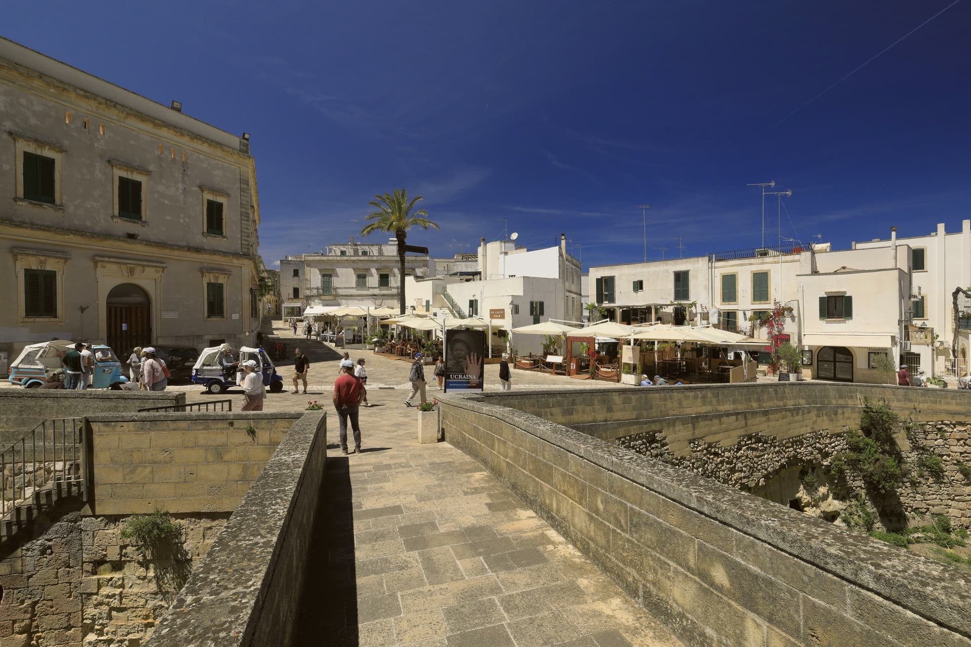
 The best hidden hill towns that eat well in Puglia6 towns, Corigliano d'Otranto among them.
 The best towns that eat well in the province of Lecce8 towns, Corigliano d'Otranto among them.
 The 9 best hidden towns you can reach by train that eat well in Puglia9 towns, Corigliano d'Otranto among them.
How to get there
From Bari / Brindisi (BRI), about 2h 31m by car.
Naples / Salerno (NAP) is about 5h 25m away.
By car from the centre of Lecce 26 minutes, Bari 2h 19m or Salerno 5 hours.
There is a railway station in the comune, so you can arrive without a car.
Coming from Bari?
What to see
Castello de' Monti
The fort stands on medieval foundations acquired by the de' Monti family, who gave it a defensive perimeter and deep moat before the Lecce-stone rebuilding. It anchors the centro storico and faces the parish church across the old town.
Chiesa di San Nicola Vescovo
Built on the site of an earlier chapel, the church stands opposite the castle as the religious anchor of the centro storico.
Dolmen Caroppo I e II
The two tombs sit two meters apart on the same rock bank just outside town, found by Oreste Caroppo, part of one of the densest concentrations of megalithic remains in Salento.
Centro storico
Walled old town in pale Lecce stone, narrow lanes, baroque palazzi, and street signs in Griko alongside Italian, a marker of the Grecìa Salentina identity that carries into daily life here.
The slow-trip planner
Building a trip? Find where Corigliano d'Otranto fits in a slow Italy circuit.
Answer five questions. We will shape a geographically coherent slow trip from the 1,000 Italian towns most travelers skip. Yours to save and share.
We recommend
Where to eat
Not our picks, but places the guides put their name to: a Michelin star, a Gambero Rosso fork, a Slow Food snail, a Michelin Key for the hotels. Worth a table, a counter, or a night when you pass through.
SinòdiaRistorante
Sinòdia carries two Gambero Rosso forks (80/100).
Living here
- Population 5,653
- Commuter belti
- Pharmacy in town
- High school within a 30-minute drive
- Train station in the comune
- Nearest airport Bari / Brindisi, 2 h 31 min drive
- Regional capital Bari, 2 h 19 min drive
Common questions
- What is Corigliano d'Otranto known for?
- Corigliano d'Otranto is a Griko-speaking town twenty-five kilometers south of Lecce, built around a 1500s Lecce-stone castle of circular towers around a quadrangular plan.
- Where is Corigliano d'Otranto?
- Corigliano d'Otranto is a comune in the province of Lecce, in Apulia, at 95 meters above sea level.
- What is the nearest airport to Corigliano d'Otranto?
- Bari / Brindisi (BRI), about 2h 31m by car.
- Can you get to Corigliano d'Otranto without a car?
- Yes. There is a railway station in the comune, so you can arrive by train.
- How long is the drive from Lecce to Corigliano d'Otranto?
- About 26 minutes by car.
- When is the best time to visit Corigliano d'Otranto?
- Best in Apr–Oct. July is the warmest month, averaging 34 degrees, and April the wettest, with about 11 rain days.
- Is there a sagra or a festival in Corigliano d'Otranto?
- The town keeps its patron saint's day: Nicola di Bari, 23 August.
- Which other towns are like Corigliano d'Otranto?
- Brisighella, Longiano and Specchia.
- How many people live in Corigliano d'Otranto?
- 5,653 at the 2023 count.
Tags & datadesignations · numbers · sources
Recognised as
The numbers
- Elevation: 95 m
- Population: 5,653
- Surface area: 28.41 km²
These figures were compiled from public directories: ISTAT, OpenStreetMap and Wikidata, and from the official listings of the guides named on this page. Town details change; verify with official sources before you travel.
Similar
Towns like Corigliano d'Otranto
Brisighella
Province: Ravenna
both inland, away from the coast · both between 3,000 and 10,000 people
Longiano
Province: Forlì-Cesena
both inland, away from the coast · both between 3,000 and 10,000 people
Specchia
Province: Lecce
both inland, away from the coast · both between 3,000 and 10,000 people
Martano
Province: Lecce
both inland, away from the coast · both between 3,000 and 10,000 people
Sammichele di Bari
Province: Bari
both inland, away from the coast · both between 3,000 and 10,000 people
Alife
Province: Caserta
both inland, away from the coast · both between 3,000 and 10,000 people
🟠 Bandiera Arancione
More Bandiera Arancione towns in Apulia
Biccari
Province: Foggia
A Subappennino Dauno borgo at 450 meters under Monte Cornacchia, the highest peak in Puglia at 1,151 meters, with a Byzantine tower at its core.
Bovino
Province: Foggia
A Daunian Mountains hill town at 646 meters above the Cervaro valley, Roman Vibinum, with a Norman-Swabian castle later turned into a Guevara ducal palace.
Cisternino
Province: Brindisi
An Itria valley borgo on the southern Murgia at 394 meters, whitewashed and looking down over drystone walls and trulli.
Locorotondo
Province: Bari
The round white town on the Itria valley ridge at 410 meters, with cummerse roofs the rest of Puglia does not have.
Oria
Province: Brindisi
A Messapian acropolis between Taranto and Brindisi crowned by Frederick II's triangular castle, home to one of medieval Europe's oldest Jewish communities.