

Lazio · Rieti
Castel di Tora
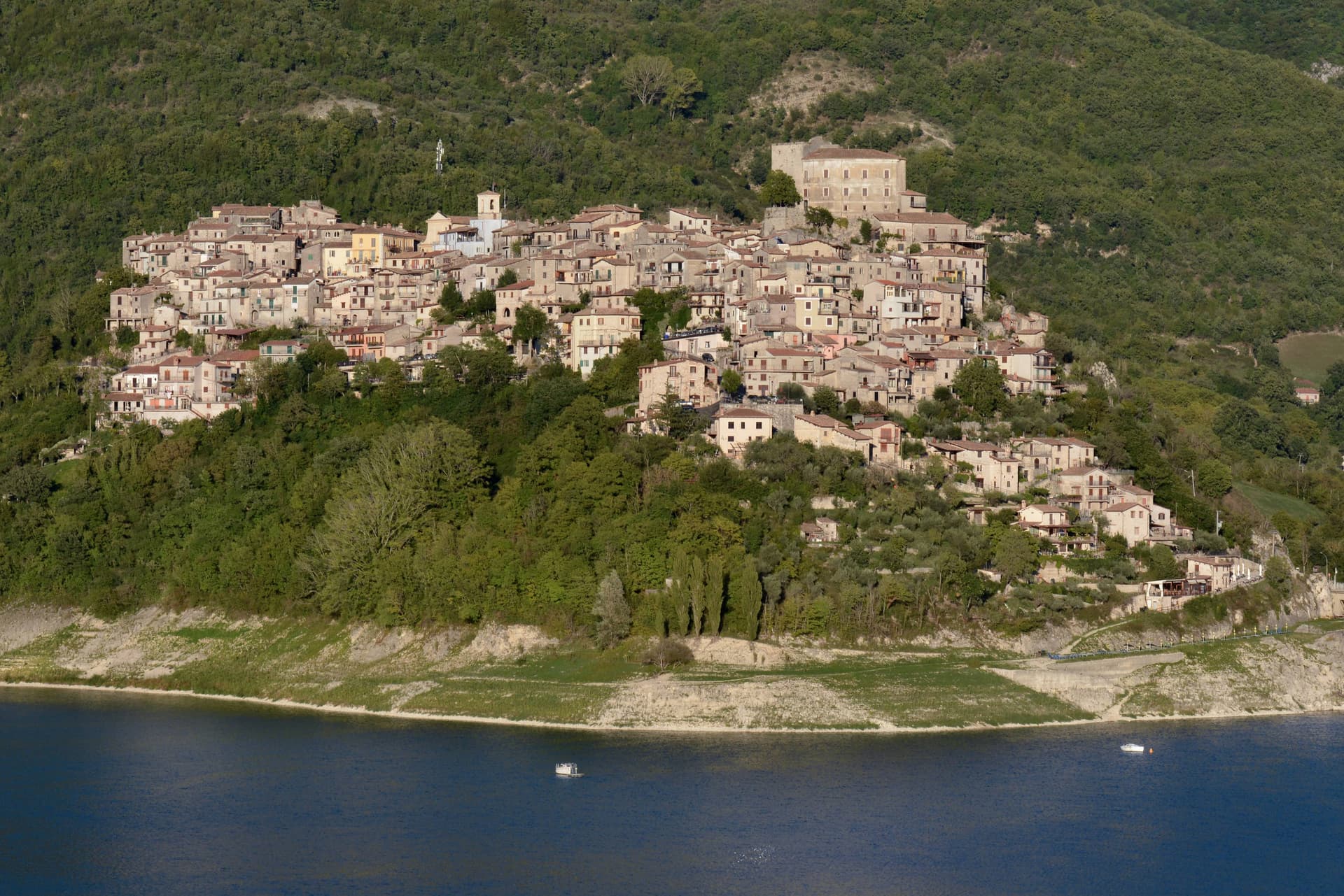
A village of 273 on Lago del Turano at 607 meters, with an eleventh-century polygonal tower and a ghost promontory called Antuni.
Picked by Peter Benei
Letter to come
Why Castel di Tora is on our list
It holds Borghi più belli d'Italia.
Subscribe and you get Castel di Tora's letter the day it comes out.
Visiting
- Best time
- May–Oct
- By car
- 1 h 13 min from Rome
- Population
- 273
- J10°
- F12°
- M13°
- A16°
- M21°
- J26°
- J31°
- A30°
- S24°
- O20°
- N15°
- D11°
- Best
- Hot or crowded
- Quiet
- Mostly closed
Daytime air temperature, averages for 2020–2024. Weather data by Open-Meteo.com.
Why come
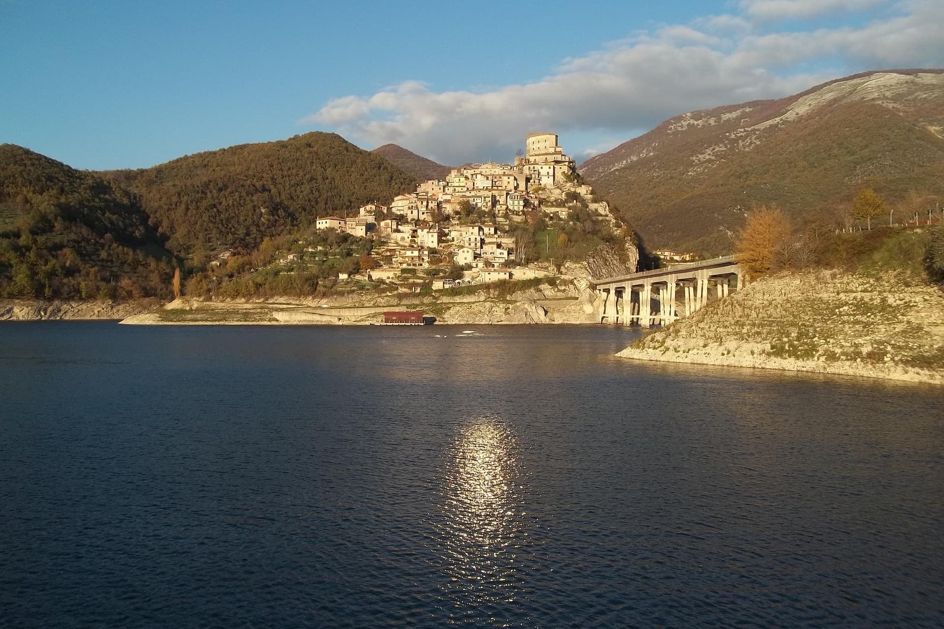
Castel di Tora sits at 607 meters on the northeast shore of Lago del Turano, in the upper Sabina, fifty kilometers northeast of Rome. The lake itself is artificial, dammed in 1936 for hydroelectric regulation of the Turano river; before then, two villages stood on the valley floor. One of them, Antuni, gave up its houses and emptied.
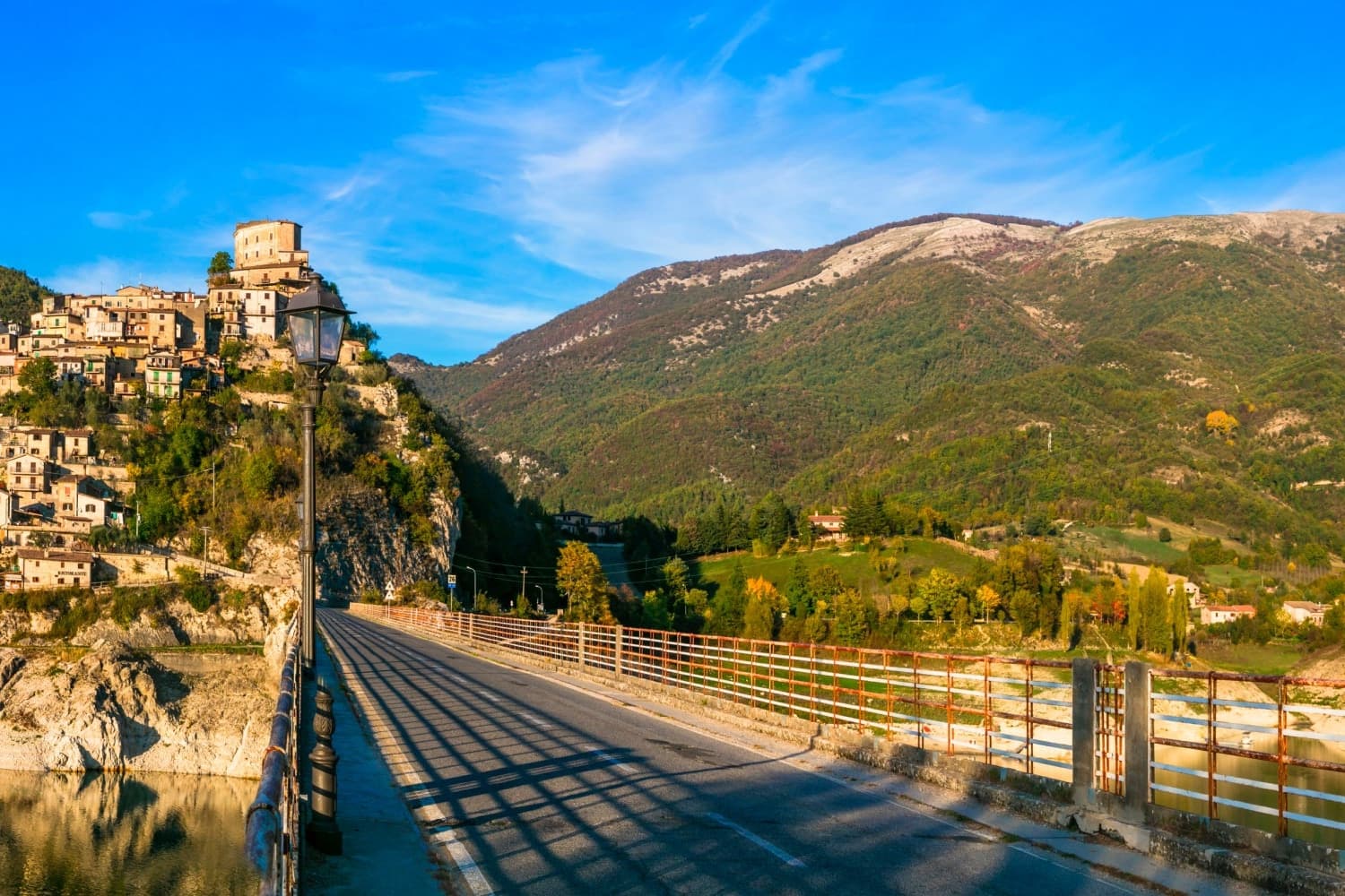
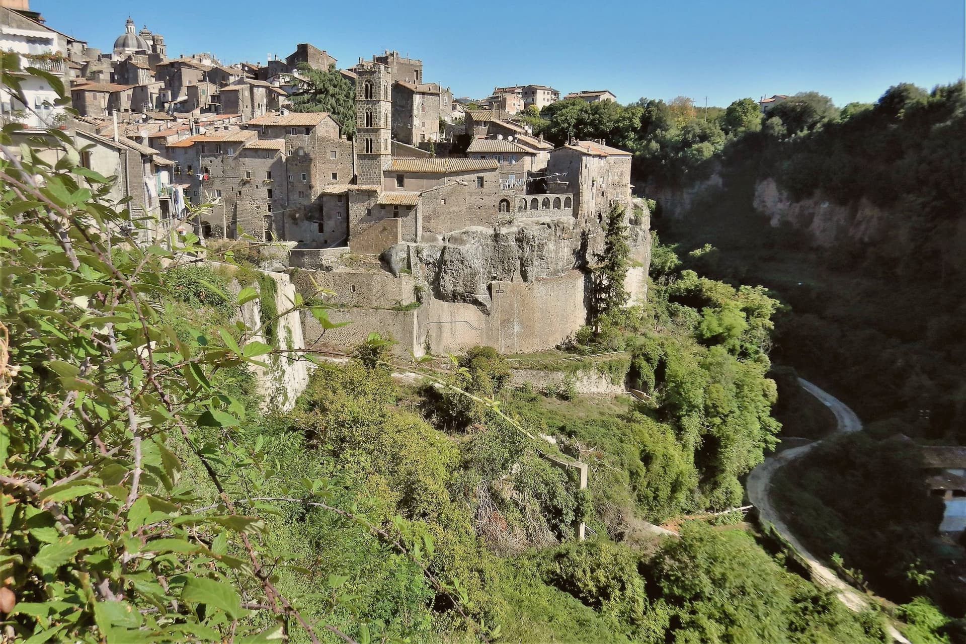
Today a small isthmus runs out to the Antuni promontory, where the fifteenth-century Palazzo del Drago, built with 365 windows for the days of the year, has been restored along with its garden labyrinth. The medieval centro storico climbs the slope above the lake to a polygonal fortress tower of the eleventh century. The Monti Sabini close the western shore; the Carseolani close the eastern, rising to Monte Navegna at 1,508 meters.
Two hundred and seventy-three people live here year-round. The Cammino di San Benedetto passes through on its way from Subiaco to Rieti.
How to get there
From Rome Fiumicino (FCO), about 1 h 29 min by car.
Naples (NAP) is about 2 h 54 min away.
By car from the center of Pescara 1 h 58 min or Perugia 2 h 12 min.
Coming by train into Roma Termini? Castel di Tora is about 1 h 12 min away by road.
Every town within reach of Rome Fiumicino airport.
First time driving in Italy? Read our complete manual.
What to see
Rocca medievale
Eleventh-century polygonal fortress tower on the cliff above the village, anchor of the original Castrum Vetus that gave the town its name.
Antuni e Palazzo del Drago
Restored fifteenth-century palace with 365 windows for the days of the year, on the Antuni promontory across an isthmus, with a garden labyrinth.
Lago del Turano
Artificial reservoir dammed in 1936 at 536 meters elevation, ten kilometers long, 60 meters deep, surrounded by the Sabini and Carseolani ranges.
Monte Navegna
Highest peak of the Monti Carseolani at 1,508 meters, anchor of the protected Riserva Naturale Monte Navegna e Monte Cervia above the lake.
Centro storico
Stone village of fewer than 300 residents climbing the slope above the lake, inscribed in I Borghi più Belli d'Italia.
Living here
Could you live here?
Castel di Tora is at the end of the road.
- A village of 273. The nearest town of 5,000 people, Rieti, is 47 min away: past our 15-minute rule, which makes this the end of the road.
- Rieti, a city of 45,083, is 47 min by car. Inside our 30 to 60 minutes: close for the services, far enough to keep its own life.
The rules come from our series Where to Move in Italy, written from the places we have lived: Part 1, The End of the Road · Part 2, The Small Town · Part 3, The City · Part 4, The Postcard · Part 5, The Other Half. The towns we would pick are in Part 6, The Best Towns.
- Population 273, down 5.5% since 2015
- Nearest city Rieti, 47 min drive
- Nearest national health service hospital Rieti, 24 km as the crow flies · how healthcare works in Italy
- Homes in the center: €750 to €950 per m² to buy, €3.10 to €3.80 per m² a month to rent
All the numbers Common questions, designations, lists and sources.
More about living here
- In-between
- Pharmacy in town
- High school within a 30-minute drive
- Full fibre reaches 48% of homes
- No primary school in the comune's register
- Earthquake zone 2, medium hazard
- Rome Ciampino airport (CIA), 1 h 12 min drive, the nearest with scheduled flights
- Regional capital Rome, 1 h 13 min drive
If you are moving here
Who lives here
11% of residents are foreign citizens, most often from Romania and Bangladesh, against 9% across Italy. There are 333 people over 65 for every 100 children under 15, against 216 across Italy. 76% of homes have no resident, holiday homes and empty ones counted together, against 27% across Italy. Rieti province ranks 75th of 107 in Il Sole 24 Ore's quality of life ranking for 2025.
Health and schools
The nearest emergency room is in Rieti, 24 km as the crow flies. The nearest major one is in Terni, 48 km away. The nearest children's emergency room is in L'Aquila, 43 km away. The nearest IB school is Acorn International School, 50 km as the crow flies. The nearest school listed as international is The European International School & College Rome, 47 km away.
Information, not medical advice. Confirm with a professional.
Taxes
A home that is not your main one pays 0.96% a year in property tax, charged on the cadastral value rather than the price. A main home pays none unless it is in a luxury category. The town adds 0.6% to your income tax. 7% pensioner tax: this town is not in a qualifying area.
Information, not tax advice. Confirm with a professional.
What it costs
The average household in Lazio spends about €2,270 a month, €580 of it on food, against about €2,170 across Italy. A family of three pays about €647 a year for water, on the Lazio average.
Climate and risk
It is in climate zone E, on a scale from A, the warmest, to F, the coldest, and heating may run from October 15 to April 15, up to 14 hours a day, unless the mayor changes it. The national maps show no residents in a high or medium flood zone. Under 1% live in a zone rated high or very high for landslides.
These shares cover the whole comune, not any one street. Check an address on IdroGEO.
Moving from abroad? Which visa you need. Sources: ISTAT, the Ministry of Health, ISPRA, the Finance Ministry, the Ministry of Enterprise, Poste Italiane, the comuni, the IB, International Schools Database, Il Sole 24 Ore, Cittadinanzattiva.
Known for
LAGO DEL TURANO
Artificial reservoir dammed in 1936 for hydroelectric regulation of the Turano river, ten kilometers long below the Sabini and Carseolani.
ANTUNI
Promontory village emptied when the dam closed; the restored Palazzo del Drago with 365 windows now stands across a small isthmus.
MONTE NAVEGNA
Highest peak of the Carseolani at 1,508 meters, anchor of the Riserva Naturale Monte Navegna e Monte Cervia.
Common questions
- What is Castel di Tora known for?
- Castel di Tora is a village of 273 on Lago del Turano at 607 meters, with an eleventh-century polygonal tower and a ghost promontory called Antuni.
- Where is Castel di Tora?
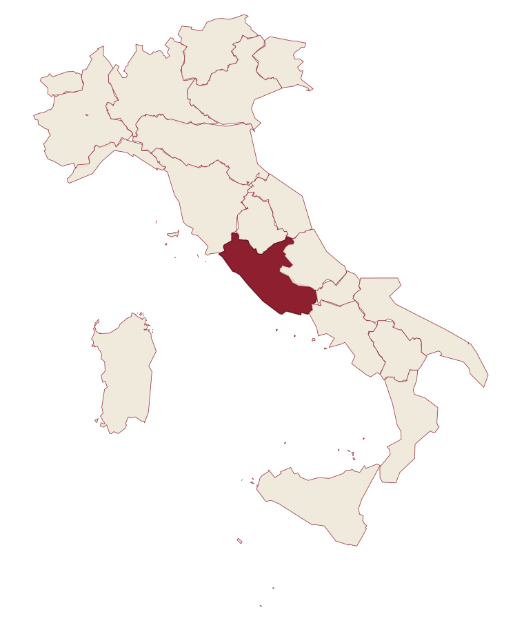
- Castel di Tora is a comune in the province of Rieti, in Lazio.
- What is the nearest airport to Castel di Tora?
- The nearest airport with scheduled flights is Rome Ciampino (CIA), about 1 h 12 min by car.
- How long is the drive from Pescara to Castel di Tora?
- About 1 h 58 min by car.
- When is the best time to visit Castel di Tora?
- Best in May–Oct. July is the warmest month, averaging 31 degrees, and May the wettest, with about 14 rain days.
- Which other towns are like Castel di Tora?
- Capranica Prenestina, Castel San Pietro Romano and Anversa degli Abruzzi.
- How many people live in Castel di Tora?
- 273 residents, by ISTAT's count on 1 January 2025.
- Is Castel di Tora a good place to live?
- By the rules in our Where to Move in Italy series, Castel di Tora is at the end of the road: the nearest town of 5,000 people, Rieti, is 47 min away. The nearest city, Rieti, is 47 min away by car. The nearest national health service hospital is in Rieti, 24 km as the crow flies. Full fibre reaches 48% of homes.
Tags & data designations · numbers · sources
Landscape
The numbers
- Elevation: 607 m
- Population: 273
- Surface area: 15.49 km²
These figures were compiled from public directories: ISTAT, OpenStreetMap and Wikidata, and from the official listings of the guides named on this page. Town details change; verify with official sources before you travel.
The ranked lists
Lists Castel di Tora appears in
- The 6 best mountain towns within 90 minutes of TerniNear Ternimountainwithin 90 min6 towns · smallest 273 residents · closest 26 min away
- The best towns on the Cammino di San Benedetto in LazioLazioon a walking route6 towns · smallest 273 residents
- The prettiest villages on a walking route in LazioLazioon a walking routeprettiest villages7 towns · smallest 273 residents
- The best mountain towns in LazioLaziomountain9 towns · smallest 273 residents
- The best mountain towns within 75 minutes of RomeNear Romemountainwithin 75 min10 towns · smallest 273 residents · closest 57 min away
Similar
Towns like Castel di Tora
What all six share with Castel di Tora: mountain-valley towns · under 1,000 people · high up, between 600 and 1,000 metres
Our guide
Our nearest guide, 62 km away
Tuscia: the towns, when to go, how to get there
The Tuscia guide came out of the letter. Letters from the towns we visit. Free.
Read the guide: The land Rome took twice. 16 towns, the drive and train times, the months, where to eat and sleep.
Paid plans, the moving year and the books are on the membership page.