
Trentino-South Tyrol · Trento
Bondone
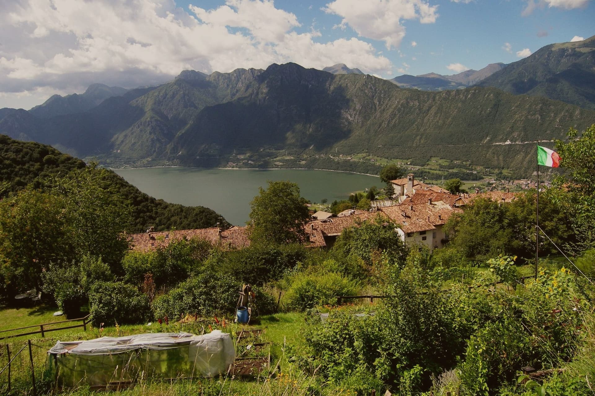
A two-village commune above Lake Idro at the Lombard border, with a Lodron castle on the cliff between them.
- Best time
- Apr–Oct
- By car
- 1 h 33 min from Brescia
- Population
- 641
Known for
CASTELLO SAN GIOVANNI
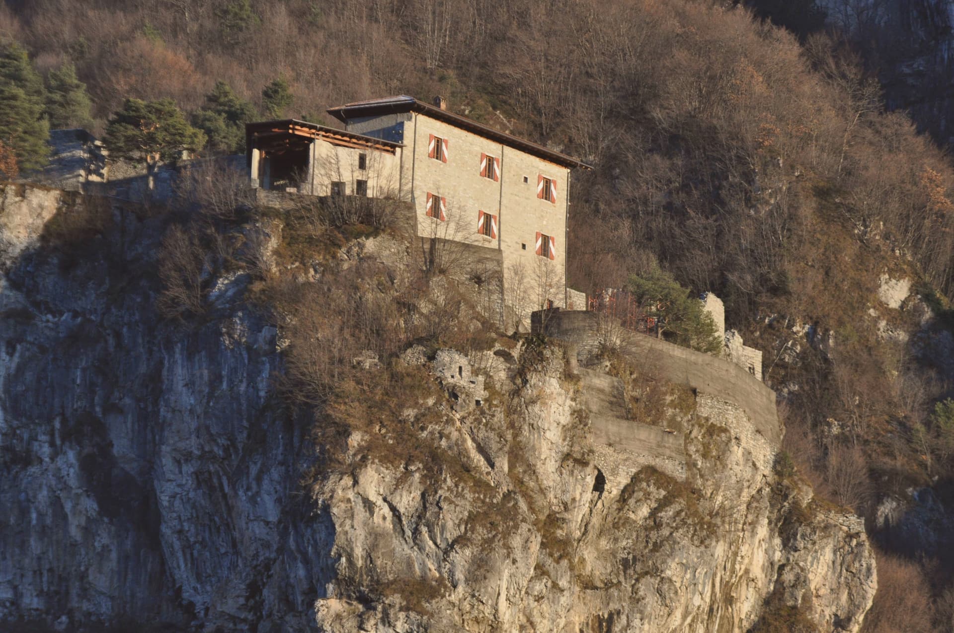
Lodron fortress on the cliff between Bondone and Baitoni, documented in 1086 and held by the same family until the twentieth century.
LAGO D'IDRO
Highest prealpine lake of Lombardy at 368 metres, with the Baitoni shoreline awarded Bandiera Blu for water cleanliness.
BORGHI PIÙ BELLI
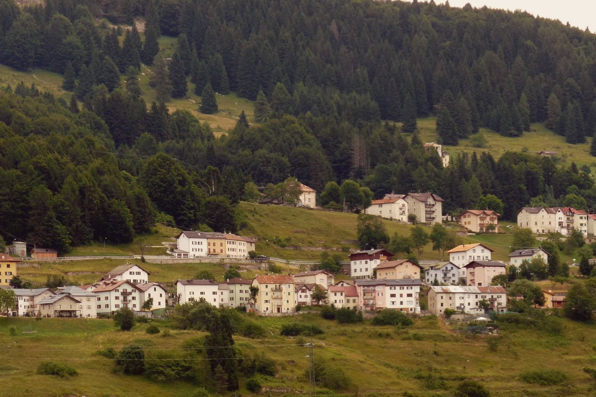
Bondone paese sits at 720 metres in the stone-house tradition of the Giudicarie, recognised by the national network of historic villages.
When to visit
Best · Apr–Oct
- J7°
- F9°
- M10°
- A13°
- M17°
- J22°
- J24°
- A24°
- S20°
- O16°
- N10°
- D7°
- Best
- Hot or crowded
- Quiet
- Mostly closed
Daytime averages, 2020–2024. Weather data by Open-Meteo.com.
Why come
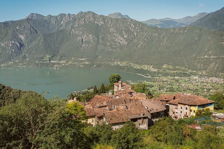
Fifty kilometres southwest of Trento, on the border with Lombardy, the commune sits in the Valle del Chiese and is made of two settlements at very different heights. The paese occupies a ridge at 720 metres; the frazione of Baitoni lies at 371 metres on the shore below. A rock cliff between the two carries the castle, built by the Lodron counts who controlled the valley from a string of similar fortresses, and who held this one for centuries after it was first recorded as the castrum de summo lacu.
The upper village and the lakeside frazione are administratively one commune but functionally two economies: stone houses and a ridge line above, swimming and sailing on the water below, joined by the fortress that once watched over both. The distance between 720 metres and 371 metres, covered inside a single commune, is what gives Bondone its character: a hill settlement and a lake shore sharing one name and one history, with the old military architecture still standing at the point where they meet.
The Sunday letter
Bondone is on our list. Its letter is still to come.
We are writing about all 1,000 of these towns, one at a time, in a free letter every Sunday: the photo, the food, the festa. That is our mission. Sign up and you will be there when Bondone comes up. By Peter & Sophia, from Pietrasanta.
Read on
Bondone in our articles
 The prettiest villages in the province of Trento8 towns, Bondone among them.
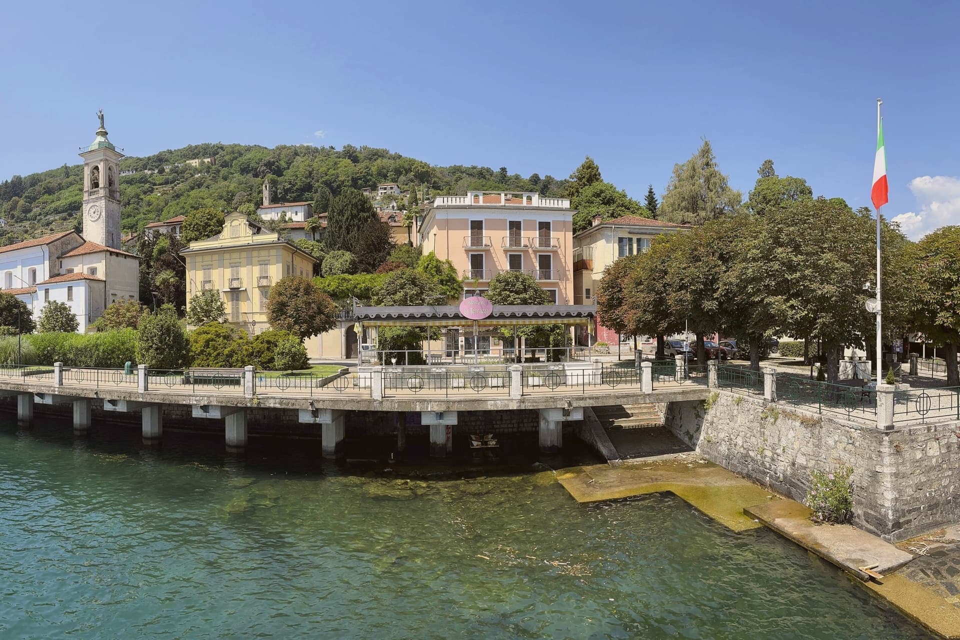 10 lake towns not on Como or Garda10 towns, Bondone among them.
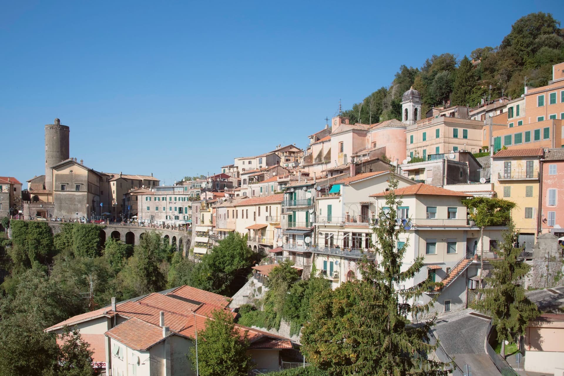 Alternatives to Bellagio: every lake town in Italy that is not on the Como ferry timetable52 towns, Bondone among them.
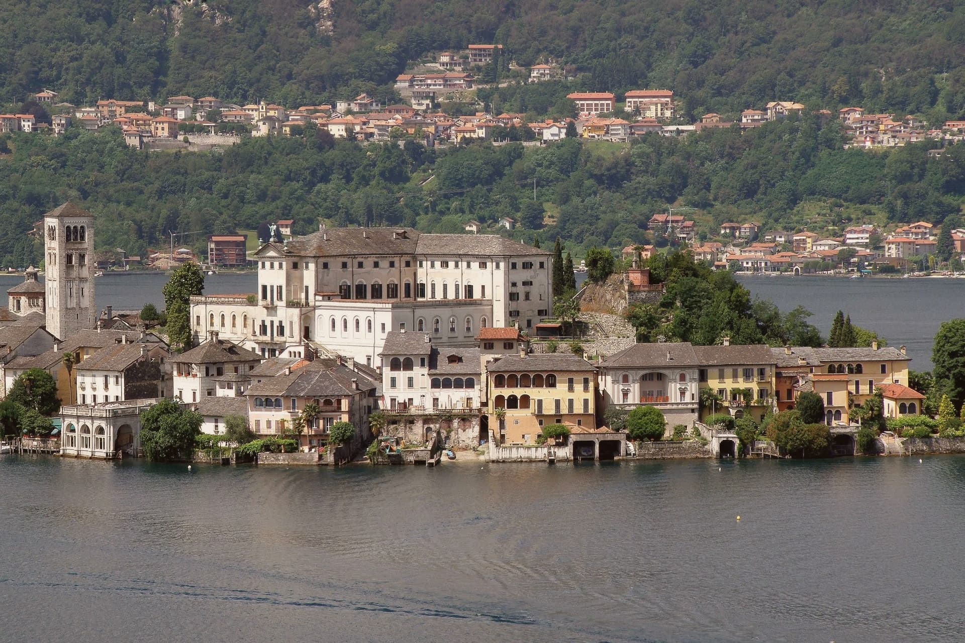 Every lake town in our catalogue, from Maggiore to Bolsena55 towns, Bondone among them.
How to get there
From Milan (BGY), about 2 hours by car.
Verona (VRN) is about 2 hours away.
By car from the centre of Brescia 1h 33m or Trento 1h 46m.
What to see
Castello di San Giovanni
Drawbridge approach and a semicircular courtyard opening south over the water, on the cliff between the two settlements.
Lago d'Idro
Glacial prealpine lake with the Baitoni shoreline carrying the Bandiera Blu, the water the commune's summer draw.
Bondone paese
Upper village on a ridge, the stone-house core looking south over the Valle del Chiese.
Baitoni
Lakeside frazione on the northern shore, the commune's swimming, windsurfing and sailing point in summer.
Vista sui Dolomiti di Brenta
From the castle terraces the view opens across the Chiese valley to the Brenta Dolomites group, visible on clear days to the north.
The slow-trip planner
Building a trip? Find where Bondone fits in a slow Italy circuit.
Answer five questions. We will shape a geographically coherent slow trip from the 1,000 Italian towns most travelers skip. Yours to save and share.
Living here
- Population 641
- Very remotei
- Pharmacy: none mapped
- Nearest airport Milan, 2 h 1 min drive
- Market day Saturday
- Regional capital Trento, 1 h 46 min drive
Common questions
- What is Bondone known for?
- Bondone is a two-village commune above Lake Idro at the Lombard border, with a Lodron castle on the cliff between them.
- Where is Bondone?
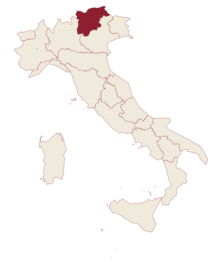
- Bondone is a comune in the province of Trento, in Trentino-Alto Adige/Südtirol, at 720 meters above sea level.
- What is the nearest airport to Bondone?
- Milan (BGY), about 2 hours by car.
- How long is the drive from Brescia to Bondone?
- About 1h 33m by car.
- When is the best time to visit Bondone?
- Best in Apr–Oct. August is the warmest month, averaging 24 degrees, and May the wettest, with about 22 rain days.
- Which other towns are like Bondone?
- Cimbergo, Varenna and Cannero Riviera.
- How many people live in Bondone?
- 641 at the 2023 count.
Tags & datadesignations · numbers · sources
Recognised as
The numbers
- Elevation: 720 m
- Population: 641
- Surface area: 19.19 km²
These figures were compiled from public directories: ISTAT, OpenStreetMap and Wikidata, and from the official listings of the guides named on this page. Town details change; verify with official sources before you travel.
Similar
Towns like Bondone
Cimbergo
Province: Brescia
both under 1,000 people · both high up, between 600 and 1,000 metres
Varenna
Province: Lecco
both lake towns · both under 1,000 people
Cannero Riviera
Province: Verbano-Cusio-Ossola
both lake towns · both under 1,000 people
Belgirate
Province: Verbano-Cusio-Ossola
both lake towns · both under 1,000 people
Glurns
Province: Bolzano
both under 1,000 people · both high up, between 600 and 1,000 metres
Monte Isola
Province: Brescia
both lake towns · both high up, between 600 and 1,000 metres
🎨 Borghi più belli d'Italia
More Borghi più belli d'Italia towns in Trentino-Alto Adige/Südtirol
Bleggio Superiore
Province: Trento
A scattered Giudicarie commune whose hilltop hamlet of Rango holds the Christmas markets, with a Slow Food walnut grown on the terraces below.
Borgo Valsugana
Province: Trento
The valley town built on both banks of the Brenta in lower Valsugana, with a hilltop castle above and a contemporary art project in the side valley.
Caldes
Province: Trento
A scattered commune on the Noce, six hamlets gathered around a thirteenth-century tower-house castle that once belonged to the Thun family.
Kastelruth
Province: Bolzano
South Tyrolean village on a shelf below the Sciliar, eighty-two-metre bell tower over the square, home of the Kastelruther Spatzen.
Glurns
Province: Bolzano
A ringed sixteenth-century circuit of walls encloses a city of 937 inhabitants near the Swiss border.