
Piedmont · Verbano-Cusio-Ossola
Cannero Riviera
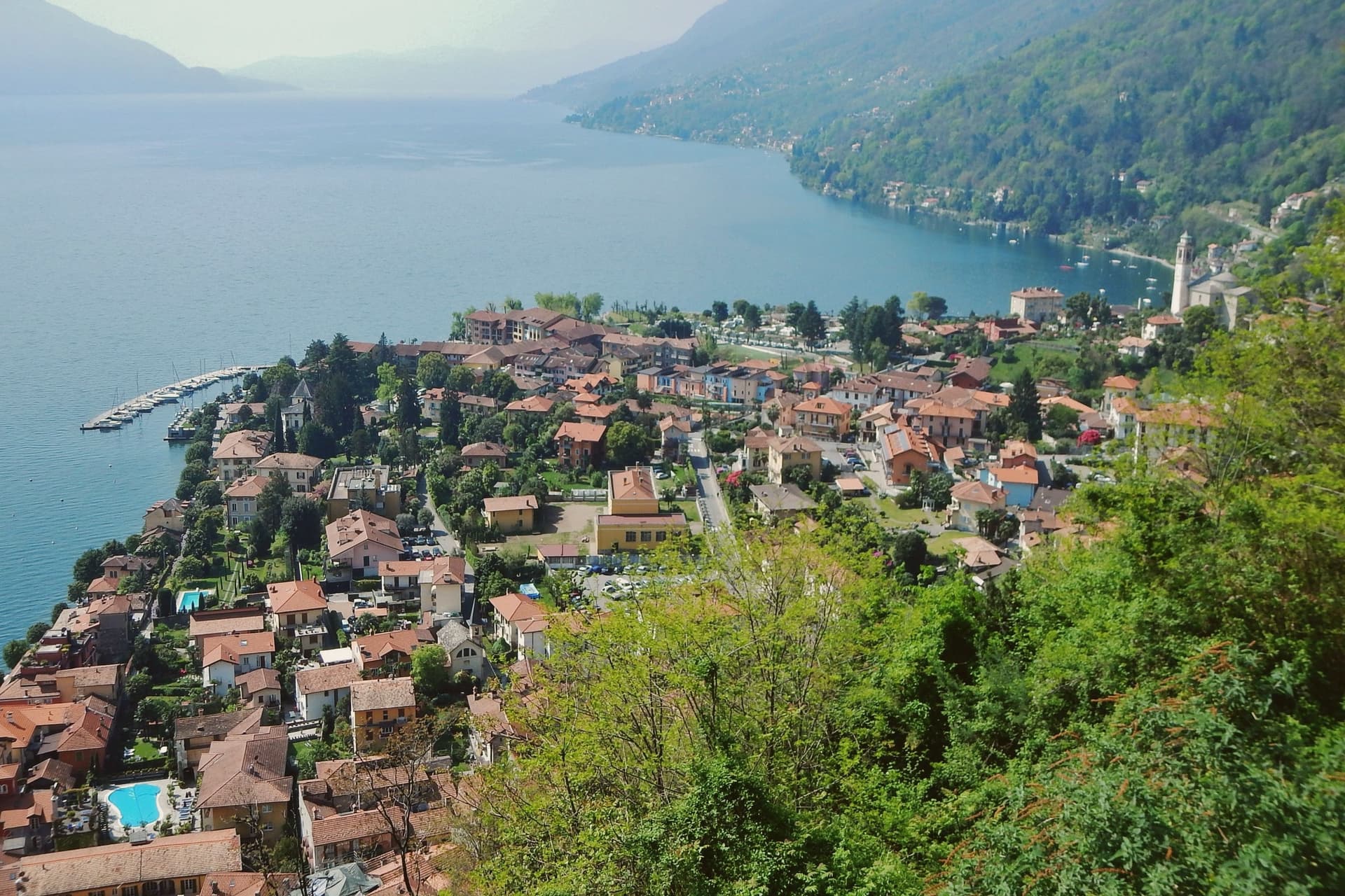
A commune of 900 on the western shore, fronted by three rocky islets whose Borromeo ruins are the town's signature view.
- Best time
- Apr–Oct
- By car
- 1 h 40 min from Milan
- Population
- 909
Known for
CASTELLI DI CANNERO
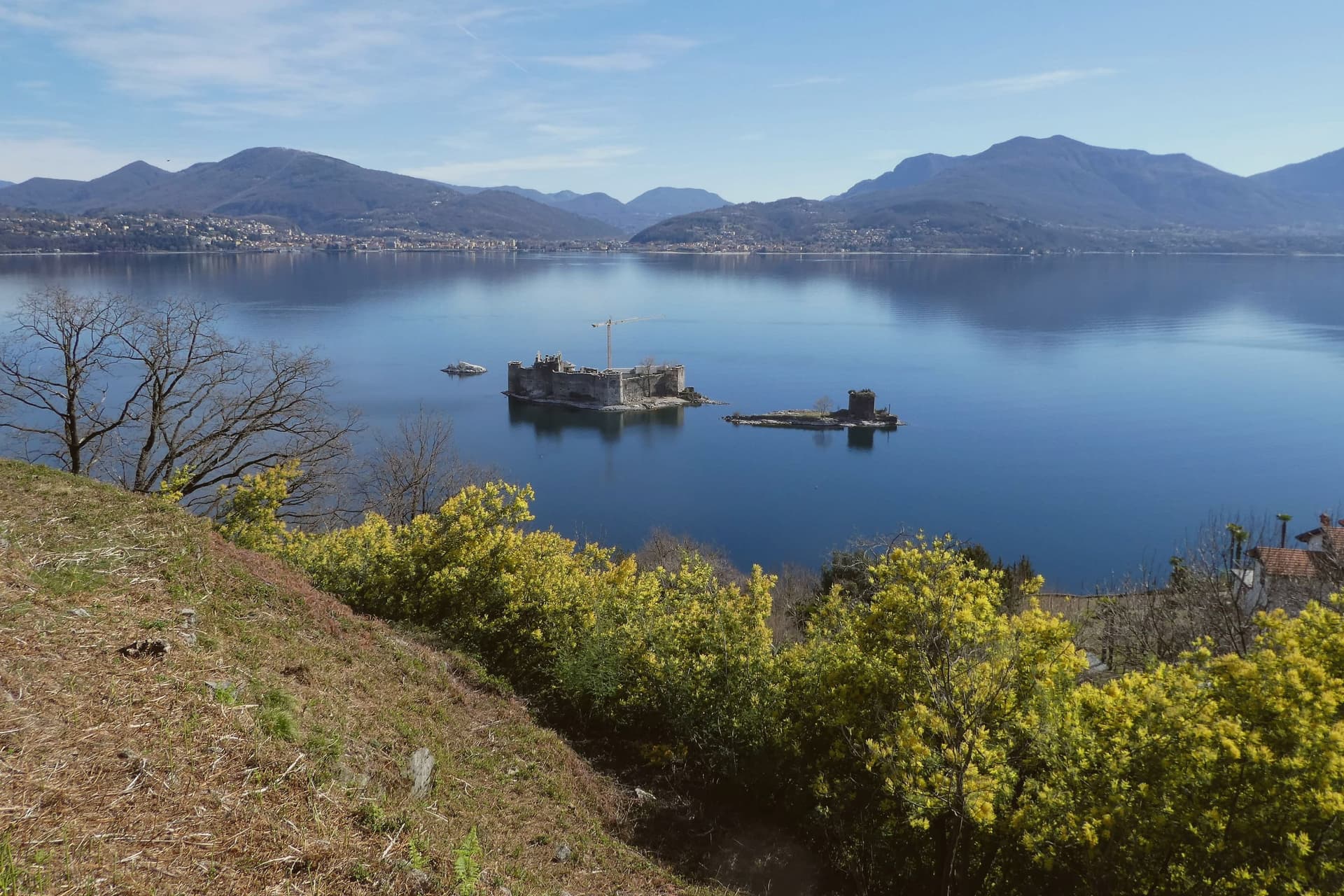
Three islets off shore with ruins of the Borromeo Rocca Vitaliana from 1521, built over the Mazzarditi pirate stronghold, part of Lago Maggiore's shoreline though administratively belonging to Cannobio.
MILD MICROCLIMATE
Lake-tempered climate that lets lemons, oranges and oleander grow in lakefront gardens at 225 meters.
BANDIERA BLU
Bathing-water flag awarded for the lakefront beaches; one of the few Lago Maggiore communes to hold both Blu and Arancione.
When to visit
Best · Apr–Oct
- J9°
- F12°
- M13°
- A17°
- M21°
- J25°
- J28°
- A28°
- S23°
- O18°
- N13°
- D9°
- Best
- Hot or crowded
- Quiet
- Mostly closed
Daytime averages, 2020–2024. Weather data by Open-Meteo.com.
Why come
Cannero Riviera sits on the western shore of Lago Maggiore, fifteen kilometers north of Verbania and just south of the Swiss border. About 900 people live here. The fortifications off shore are what remains of the Rocca Vitaliana, built between 1519 and 1521 by Ludovico Borromeo over an earlier castle, the Malpaga, used as a refuge in the early fifteenth century by the Mazzarditi brothers, five pirate brothers who ran the high lake from this base until the Visconti put them down.
The town itself runs as a lakefront row below the promenade, while above it on the slope sits the parish church, and higher still on the hillside, reached only by mule track, is the abandoned frazione of Carmine Superiore with its fourteenth-century church. The settlement is layered from water to hill: fortress ruins offshore, houses and gardens at lake level, a church on the rise, and a dead hamlet further up still. What the water sees from below and what survives on the height above it are the same centuries, read at different altitudes.
The Sunday letter
Cannero Riviera is on our list. Its letter is still to come.
We are writing about all 1,000 of these towns, one at a time, in a free letter every Sunday: the photo, the food, the festa. That is our mission. Sign up and you will be there when Cannero Riviera comes up. By Peter & Sophia, from Pietrasanta.
Read on
Cannero Riviera in our articles
 The best small lake towns in Piemonte7 towns, Cannero Riviera among them.
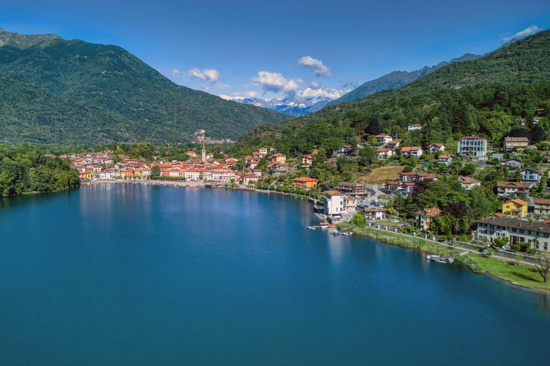 The best lake towns in the province of Verbano-Cusio-Ossola8 towns, Cannero Riviera among them.
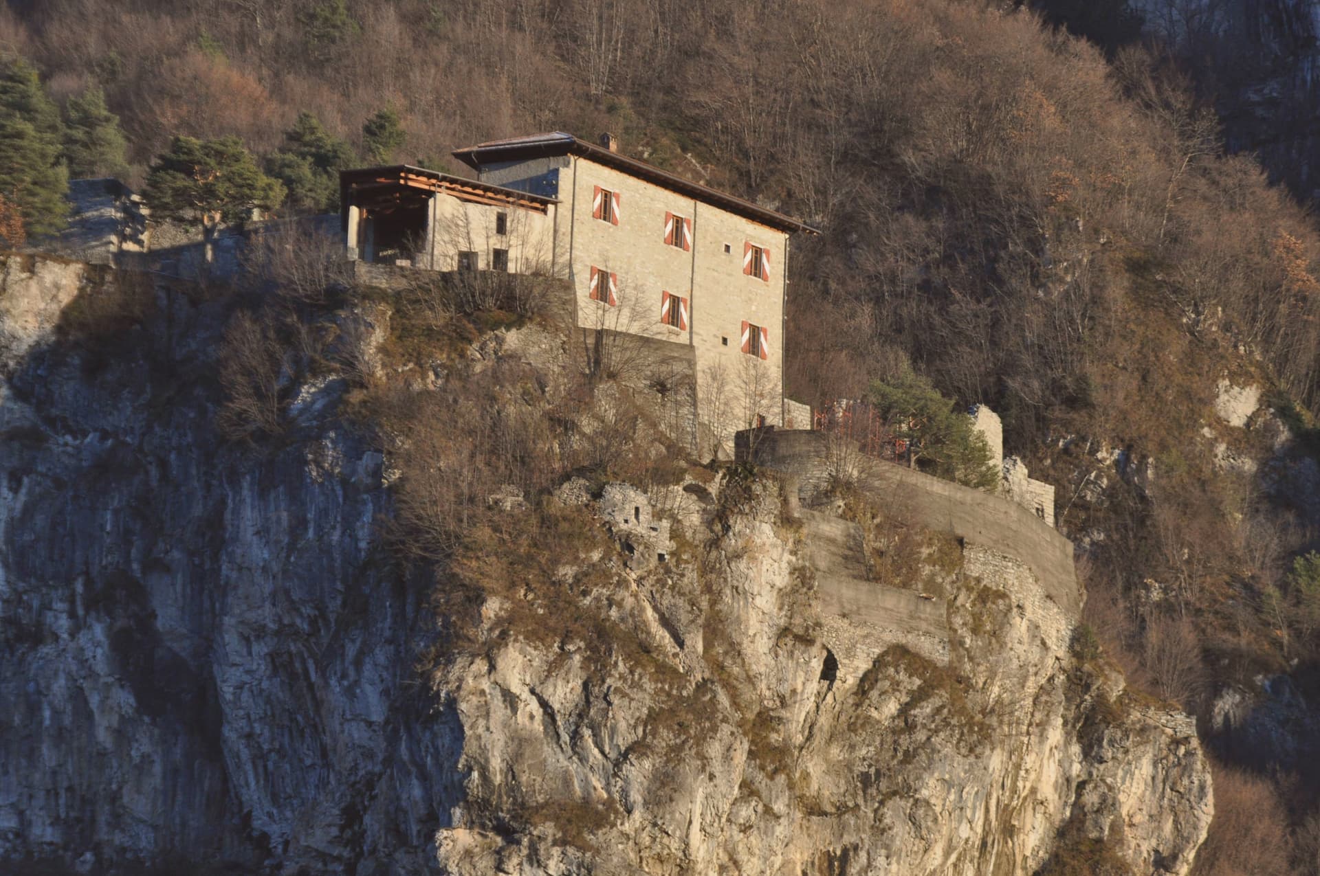 10 lake towns not on Como or Garda10 towns, Cannero Riviera among them.
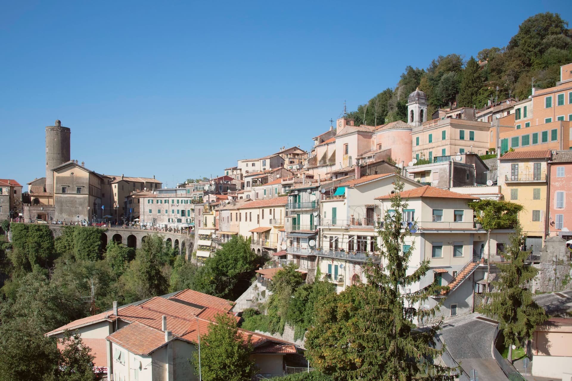 Alternatives to Bellagio: every lake town in Italy that is not on the Como ferry timetable52 towns, Cannero Riviera among them.
How to get there
From Milan (BGY), about 2 hours by car.
Turin (TRN) is about 2h 8m away.
By car from the centre of Brescia 2h 30m.
What to see
Castelli di Cannero
Ruins standing in slow decay since their eighteenth-century abandonment, the islets visible from the whole promenade and reached by boat rather than on foot.
Lungolago di Cannero
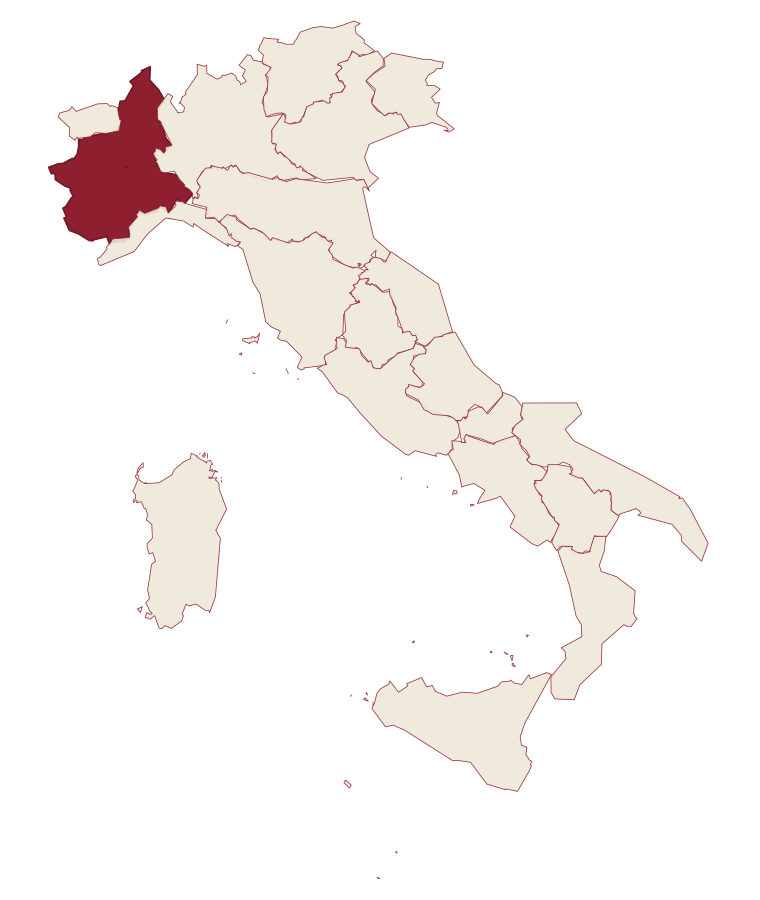
Lakefront promenade past pastel-stuccoed houses, citrus and oleander gardens, beach access and ferry stops for the high-lake circuit.
Chiesa di San Giorgio
Parish church on the slope above the lake, with a portico opening toward the water and the islets beyond.
Carmine Superiore
Abandoned medieval frazione on the hillside above town, reached by mule track, with the fourteenth-century church of San Gottardo.
The slow-trip planner
Building a trip? Find where Cannero Riviera fits in a slow Italy circuit.
Answer five questions. We will shape a geographically coherent slow trip from the 1,000 Italian towns most travelers skip. Yours to save and share.
Living here
- Population 909
- Commuter belti
- Pharmacy in town
- High school within a 30-minute drive
- Nearest airport Milan, 2 h 7 min drive
- Regional capital Torino, 2 h 8 min drive
Common questions
- What is Cannero Riviera known for?
- Cannero Riviera is a commune of 900 on the western shore, fronted by three rocky islets whose Borromeo ruins are the town's signature view.
- Where is Cannero Riviera?
- Cannero Riviera is a comune in the province of Verbano-Cusio-Ossola, in Piedmont, at 225 meters above sea level.
- What is the nearest airport to Cannero Riviera?
- Milan (BGY), about 2 hours by car.
- How long is the drive from Brescia to Cannero Riviera?
- About 2h 30m by car.
- When is the best time to visit Cannero Riviera?
- Best in Apr–Oct. August is the warmest month, averaging 28 degrees, and May the wettest, with about 15 rain days.
- Which other towns are like Cannero Riviera?
- Varenna, Mergozzo and Ghiffa.
- How many people live in Cannero Riviera?
- 909 at the 2023 count.
Tags & datadesignations · numbers · sources
Recognised as
The numbers
- Elevation: 225 m
- Population: 909
- Surface area: 14.42 km²
These figures were compiled from public directories: ISTAT, OpenStreetMap and Wikidata, and from the official listings of the guides named on this page. Town details change; verify with official sources before you travel.
Similar
Towns like Cannero Riviera
Varenna
Province: Lecco
both lake towns · both under 1,000 people
Mergozzo
Province: Verbano-Cusio-Ossola
both lake towns · both hill towns
Ghiffa
Province: Verbano-Cusio-Ossola
both lake towns · both hill towns
Stresa
Province: Verbano-Cusio-Ossola
both lake towns · both hill towns
Baveno
Province: Verbano-Cusio-Ossola
both lake towns · both hill towns
Torno
Province: Como
both lake towns · both hill towns
🟠 Bandiera Arancione
More Bandiera Arancione towns in Piedmont
Agliè
Province: Torino
A Canavese borgo at 330 meters whose Castello Ducale, a UNESCO Savoy residence since 1997, has been held by the d'Agliè since 1259.
Alagna Valsesia
Province: Vercelli
A Walser village at 1,191 meters, at the head of the Valsesia, known to off-piste skiers worldwide.
Arona
Province: Novara
A town at the southern tip of a lake, watched over by a colossus finished in 1698.
Avigliana
Province: Torino
A medieval Savoy town at 383 meters at the mouth of the Susa Valley, between two glacial lakes and the abbey on the mountain above.
Barolo
Province: Cuneo
A Langhe borgo at 301 meters whose Castello Falletti gave its name to the wine the Marchesi turned dry in the 1830s with Cavour's help.