
The best hidden towns inside a national park in the province of Cosenza
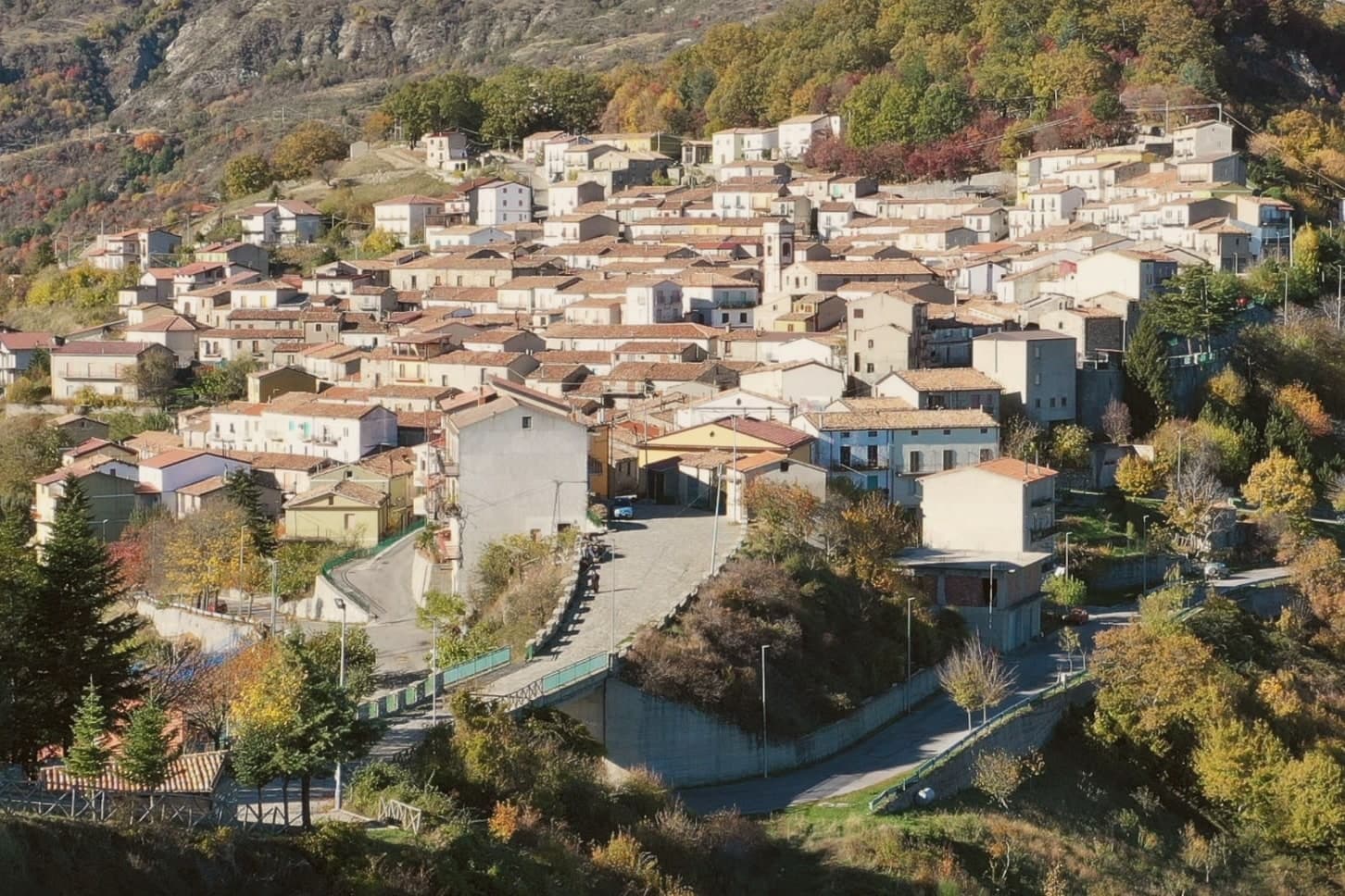
The province of Cosenza holds two national parks, and they are made of different weather. Pollino is limestone and beech, with the loricate pine standing on bare ridges above gorges cut by the Raganello and the Lao, and snow that lingers into late spring. The Sila is gentler and higher, a plateau of pine and lakes where the cold comes early and the pork, the potatoes and the caciocavallo taste of it. The houses in the mountain villages are stone and rendered lime, roofs low against the wind, and autumn is when the chestnuts, the walnuts and the new oil arrive together on the same table.
Most people who come to Calabria stay on the water, and in August that means Tropea: the cliff, the beach below the church of Santa Maria dell'Isola, the queue for parking along the ridge road. It is beautiful and it has been photographed enough that the town now works to a rhythm set by day visitors. The Tyrrhenian resorts on either side fill in the same weeks, so the road runs slowly and the restaurants run to a shorter menu.
The same mountains that back those beaches keep going inland, and the park boundaries begin within an hour of the sea. Fewer people go up there, which is why the walnut bread, the mutton, the Saracena wine made from raisined grapes and the paths to the gorges are still local business rather than attractions. These are the smaller towns inside the two parks, some of them looking down at the coast, some of them deep in beech forest, all of them worth a detour.
Of the 26 communes we have mapped in the province of Cosenza, 12 qualify as towns inside a national park: each sits inside the boundary of a national park. This list is the hidden ones, 10 in all, ordered smallest first. The smallest, Alessandria del Carretto, has 357 residents.
Elsewhere in the catalogue: The best hill towns inside a national park in Calabria and The 10 best hidden mountain towns in Calabria.
Alessandria del Carretto
Why visit Alessandria del Carretto
Alessandria del Carretto is the highest inhabited village in the Pollino National Park, perched at 1,043 meters in the eastern range of Italy's largest protected area. It is the only commune in Italy that bears the full name and surname of its founder, the marchese Alessandro Pignone del Carretto, who established it in 1639.
Population today is around 357, declining for decades, with traditions kept alive against depopulation. The signature is the Festa della Pita, on 3 May for the feast of Saint Alexander, one of the oldest nature-rebirth rituals in the Mediterranean: in mid-April the community cuts a twenty-meter fir tree in the Pollino woods, on the last Sunday of April carries it by hand to the village to accordion and bagpipe, then on 3 May runs the climb of the fir for the gifts tied to its top.
The historical carnival, with masks of the beautiful and ugly Polëcënellë, marks the other end of the ritual year.
What to see in Alessandria del Carretto
- Centro storico di Alessandria del Carretto. Stone village at 1,043 meters in the Pollino, founded in 1639 by Alessandro Pignone del Carretto, the only Italian commune named for its founder.
- Pollino National Park. Highest village in Italy's largest national park, surrounded by Bosnian pine forest and the slopes that climb toward Serra del Prete.
- Chiesa di Sant'Alessandro Papa. Mother church of the village, dedicated to the patron saint whose feast on 3 May coincides with the climax of the Festa della Pita.
How to get to Alessandria del Carretto
Taranto is roughly 142 minutes away by road.
Our tip
Late June through September are the months the Pollino climbs to Alessandria del Carretto are walkable, the village is open and trail days are long. Winter brings snow above 1,000 meters and the December to March window works for trekking on snowshoes when the Pollino refuges run; access becomes weather-dependent and the road from Trebisacce can close in storms. April and May are wet and cool, though the Festa della Pita on 3 May is the year's largest day and brings several thousand visitors to a village of 357.
Aieta
Why visit Aieta
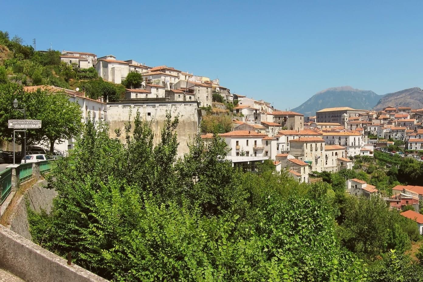
Aieta sits at 524 metres in the western Pollino, eight kilometres above the Tyrrhenian coast at Praia a Mare. The name comes from the Greek aetós, eagle, a description of the spur the village holds.
The Palazzo Martirano-Spinelli is the reason most visitors climb the road in: a U-shaped sixteenth-century Renaissance building with a five-arch loggia on Tuscan columns in local grey stone, one of the rare full Renaissance palazzi in the whole region. The Marquises Cosentino built it; it passed to the Cosentino-Scalea line in 1571 and to the Spinelli in 1767, was declared a national monument in 1913, and became municipal property in 1980.
Around it, the centro storico keeps a tight network of stone-portalled houses worked by mason families between the seventeenth and eighteenth centuries. The mother church of Santa Maria della Visitazione and the Convent of the Minor Observant Fathers, founded in 1520, complete the centre.
The population sits at 753.
What to see in Aieta
- Palazzo Martirano-Spinelli. Sixteenth-century Renaissance palazzo with a U-shaped plan and a five-arch loggia on Tuscan columns, one of the few in Calabria; national monument since 1913.
- Chiesa di Santa Maria della Visitazione. Sixteenth-century mother church on the upper level of the centro storico, anchoring the religious life of the village.
- Convento dei Minori Osservanti. Franciscan convent founded in 1520 with sixteenth-century wooden choir stalls and a set of carved wooden saint statues.
How to get to Aieta
Salerno is roughly 140 minutes away by road.
Our tip
At 524 metres in the western Pollino, Aieta runs cooler than the Praia a Mare coast below. April through October is the working window: green hills, mild evenings, the Palazzo open for visits and the Convent accessible. July and August stay tolerable in the low thirties, though midday in the centro storico empties as residents step indoors.
Laino Borgo
Why visit Laino Borgo
Laino Borgo sits at 582 meters on the border between Calabria and Basilicata. The name traces to the river Lao, itself named after the ancient Greek city of Laüs founded on the Tyrrhenian coast below.
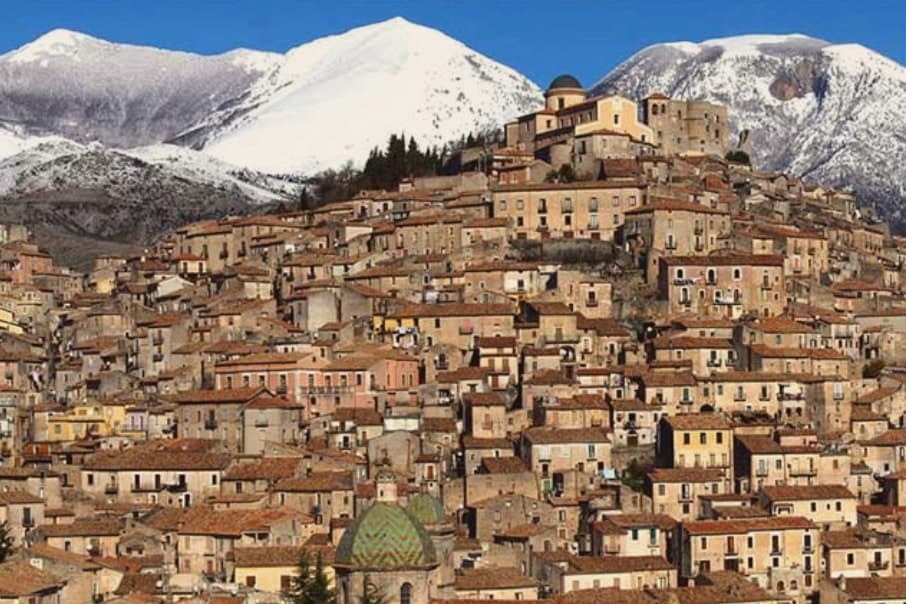
The centro storico climbs toward the castle ruins at its upper edge, looking across the valley to the Pollino slopes opposite, while the river runs through its canyon at the base of the settlement, the same stretch of water that carries the rafting trade through the warmer months. Garlic and hazelnuts are grown on the slopes around the village, and the commune holds Borgo Autentico d'Italia status.
The chapels on the pilgrimage route sit apart from this daily geography, on property outside the village proper, added to a settlement otherwise defined by its river, its border position and its castle height. What holds the place together is the Lao itself: it gave the town its name, cut the canyon that draws the rafters, and marks the edge between two regions the village has always sat astride.
What to see in Laino Borgo
- Santuario delle Cappelle (Sacro Monte). Only Sacro Monte in southern Italy, sixteen pilgrimage chapels begun in 1557 by Domenico Longo after a journey to the Holy Land, depicting scenes from the Bethlehem grotto to the Crucifixion.
- Rafting on the Lao river. Main rafting and canoeing centre of southern Italy, with descents through a 200-meter canyon, launches from a wooden bridge near Piazza Navarro.
- Castello Normanno. Norman castle ruins on the upper edge of the centro storico, a vantage point over the Lao valley and the Pollino slopes opposite.
How to get to Laino Borgo
Salerno is roughly 93 minutes away by road.
Our tip
April through June and September into October are the months the Lao runs at workable rafting levels and the Pollino trails open. July and August reach the mid-thirties in the canyon, though the river itself stays cold and the rafting outfitters run their busiest weeks. The Sacro Monte pilgrimage path, walked between the sixteen chapels, fills around 8 September for the feast of the Madonna dello Spasimo.
Cerchiara di Calabria
Why visit Cerchiara di Calabria
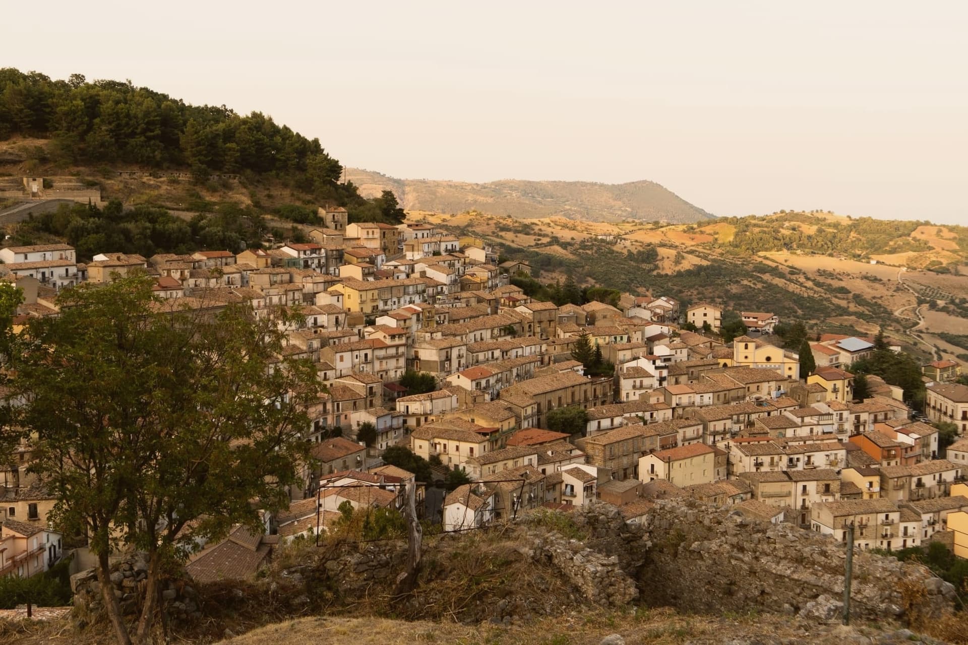
Cerchiara di Calabria sits at 650 meters on the eastern flank of the Pollino massif, inside the national park. The site has been settled since the Magna Graecia period under the name Arponium, later the Byzantine Circlarium, with hermit cells documented on the mountain above by the tenth century: the sanctuary that stands there now grew out of that older hermit presence, enlarged over more than a century into the pilgrimage site it became.
Below the village, a cavity in the rock carries sulphurous water down to feed the thermal complex, while the Serra del Gufo caves and the Balze di Cristo cliffs make up the rest of the karst geology on the slopes above the town. The village itself reads as a single line from summit to foot: hermitage and sanctuary at height, thermal water and caves at the base, the settled center holding the bread ovens in between.
It is a place organized by elevation, with worship, water, and daily bread each keeping to their own level of the mountain.
What to see in Cerchiara di Calabria
- Santuario di Santa Maria delle Armi. A small rock chapel enlarged in the early sixteenth century, standing above the village on Mount Sellaro. The climb up trades the village roofscape for the open flank of the massif.
- Terme della Grotta delle Ninfe. The cave mouth sits at the foot of the mountain, water still running warm and mineral-heavy out of the rock before the complex channels it below.
- Museo del Pane. Tools and large wood ovens laid out in the centro storico, the working evidence of a bread-making practice the town is named for.
How to get to Cerchiara di Calabria
Taranto is roughly 131 minutes away by road.
Our tip
April through June and September into October are the dry months when the trails to the Madonna delle Armi sanctuary at 1,015 meters are walkable and the thermal complex is comfortable. July and August are hot, with the lower part of the commune touching thirty-five; the cave waters stay at constant temperature year-round but the road up to Sellaro empties between noon and four. November through March is quiet on the Pollino slopes, with snow possible above 1,000 meters and many trattorie closed weekdays.
Mormanno
Why visit Mormanno
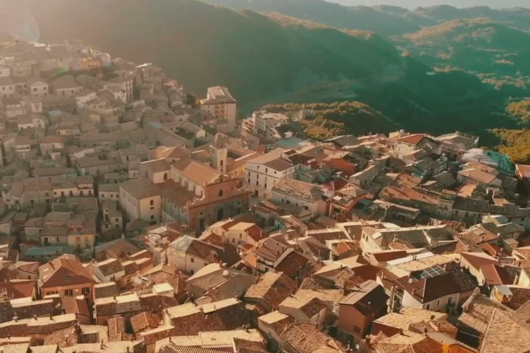
Mormanno sits at 840 meters in Pollino National Park, in the Calabrian half of the massif, between the opposing ridges of Costa and Vernita and within reach of the Lao river valley. The Pellegrino group rises immediately above the town, Monte Palanuda at 1,632 meters and Monte Cerviero at 1,443.
Local historians read its origins back to the Lombard era; the first surviving document, a Greek-language deed of donation, dates to 1092. The Sanseverino of Bisignano held the fief until 1612.
The eighteenth-century Neapolitan-Baroque cathedral sits at the center of a historic plan organized into four quarters: Costa to the west, Capo lo Serro to the east, Casalicchio south, Torretta north. The town is in the Città del Vino network and is known across Calabria for two products: white poverelli beans and lentils grown on the surrounding slopes, and the bocconotto di Mormanno, a single-bite shortcrust pastry filled with mostarda or grape jam.
What to see in Mormanno
- Cattedrale di Santa Maria del Colle. Eighteenth-century Neapolitan-Baroque cathedral on the high point of the borgo, the architectural anchor of the historic plan.
- Centro storico. Historic plan organized into four named quarters, Costa, Capo lo Serro, Casalicchio and Torretta, each named for its position around the cathedral.
- Parco Nazionale del Pollino. Calabrian sector of Italy's largest national park surrounds the town, with the Pellegrino massif rising directly above the houses.
How to get to Mormanno
Salerno is roughly 100 minutes away by road.
Our tip
May through October is the season. At 840 meters, summers stay comfortable while the coast bakes; the Pollino trails around Mormanno are walkable from late spring through autumn. June and September are the easier months, the high meadows in flower or going dry, the bocconotto bakeries open without the August queue.
Saracena
Why visit Saracena
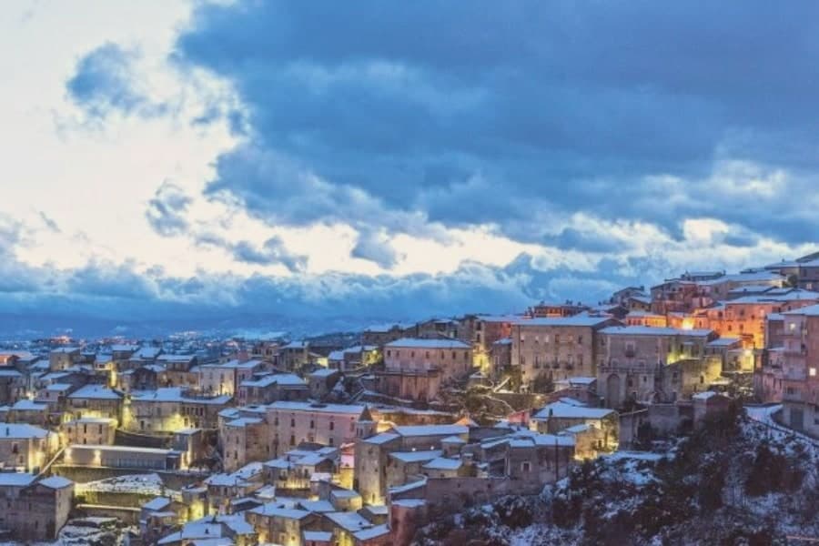
Saracena sits at 606 meters on the eastern slopes of the Orsomarso mountains, inside the Pollino National Park, fifty-five kilometers north of Cosenza. The town gets its name from the Saracens who conquered it around 900 AD; like Palermo and Tropea it kept a souk through the Arab-Sicilian and early Norman centuries, and the Byzantine army eventually retook it.
The mother monument is the twelfth-century Chiesa di San Leone, a Byzantine foundation that still holds the patron's relics. What carries the village now is wine: Moscato di Saracena, a passito blended from Guarnaccia, Malvasia, Odoacra and Moscatello, fermented slowly into an amber dessert wine first documented in the sixteenth century.
The production sits under a Slow Food Presidium, and a Casa del Moscato opened in the former town hall in May 2026. Olives, truffles and Pollino trekking fill the rest of the calendar.
What to see in Saracena
- Chiesa di San Leone. Twelfth-century Byzantine church dedicated to the patron San Leone di Catania, celebrated twice a year, in spring and late summer.
- Castello baronale. Ruins of the baronial castle around which the historic centre rises, a vantage point over the Pollino slopes and the Esaro valley.
- Casa del Moscato di Saracena. Visitor centre opened in May 2026 in the former town hall, dedicated to the production method of the Slow Food Presidium passito.
How to get to Saracena
Salerno is roughly 170 minutes away by road.
Our tip
April through June and September into October are the dry months that Saracena was built for, when the Pollino slopes are walkable and the moscato grapes either flower or come in. July and August touch the mid-thirties; the old town shaded alleys hold up but the trails climb above eight hundred meters to stay comfortable. November through March is quiet, with snow possible on the Orsomarso ridges and several cantine closed to visitors.
Morano Calabro
Why visit Morano Calabro
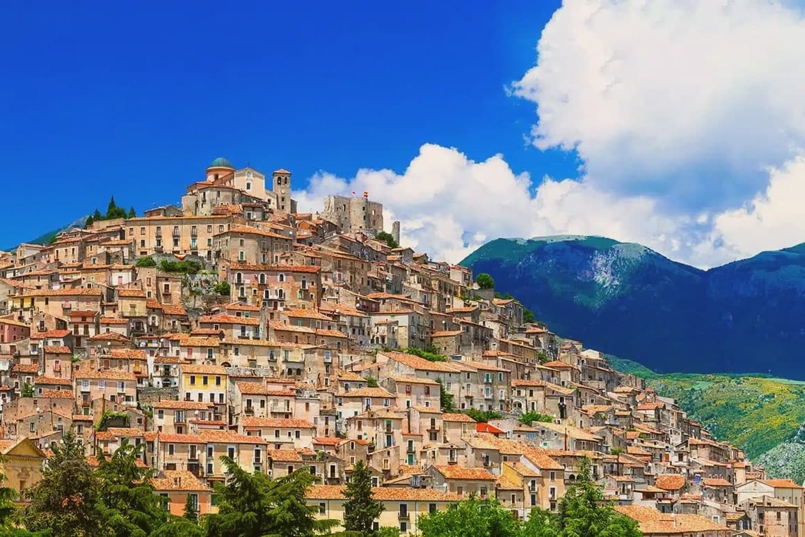
Morano Calabro stands at 694 meters, folded around a conical hill at the edge of the national park. The Roman settlement appears as Muranum on the Lapis Pollae milestone, a station on the Via Popilia that ran between Capua and Reggio, which places the town on a road line far older than the castle above it.
The Battle of Campo Tenese in 1806 cut through these hills when the First French Empire crushed the Bourbon army on the plain east of town, a piece of history the hill itself does not show but the surrounding ground carries. The centro storico climbs from its lower gates up to the summit in the concentric rings the town is known for, with its churches and the monastic complex set into the slope rather than gathered at any single point.
The mountain rises immediately north of the last houses, so the built town and the park meet without any transition between them. What Morano amounts to, then, is a settlement whose Roman road station, medieval hill town, and battlefield history are all still legible in the same short climb from the plain to the summit.
What to see in Morano Calabro
- Castello Normanno-Svevo. The ruins sit on the summit, roofless walls open to the sky, with the rings of houses falling away below in the pattern that gave the town its nickname.
- Collegiata di Santa Maria Maddalena. Founded around 1097, enlarged in the sixteenth century, with a neoclassical façade completed in the nineteenth and a Baroque interior.
- Chiesa di Santi Pietro e Paolo. Archpriest's church near the castle, with foundations dating to around the year 1000, the oldest surviving sacred building in the village.
How to get to Morano Calabro
Salerno is roughly 110 minutes away by road.
Our tip
At 694 meters the climate runs cooler than the Tyrrhenian coast an hour west. May through October is the working season: green slopes, mild evenings, and the high Pollino trails open by late spring. July and August stay manageable into the high twenties, though midday in the centro storico still pushes residents indoors.
Spezzano della Sila
Why visit Spezzano della Sila
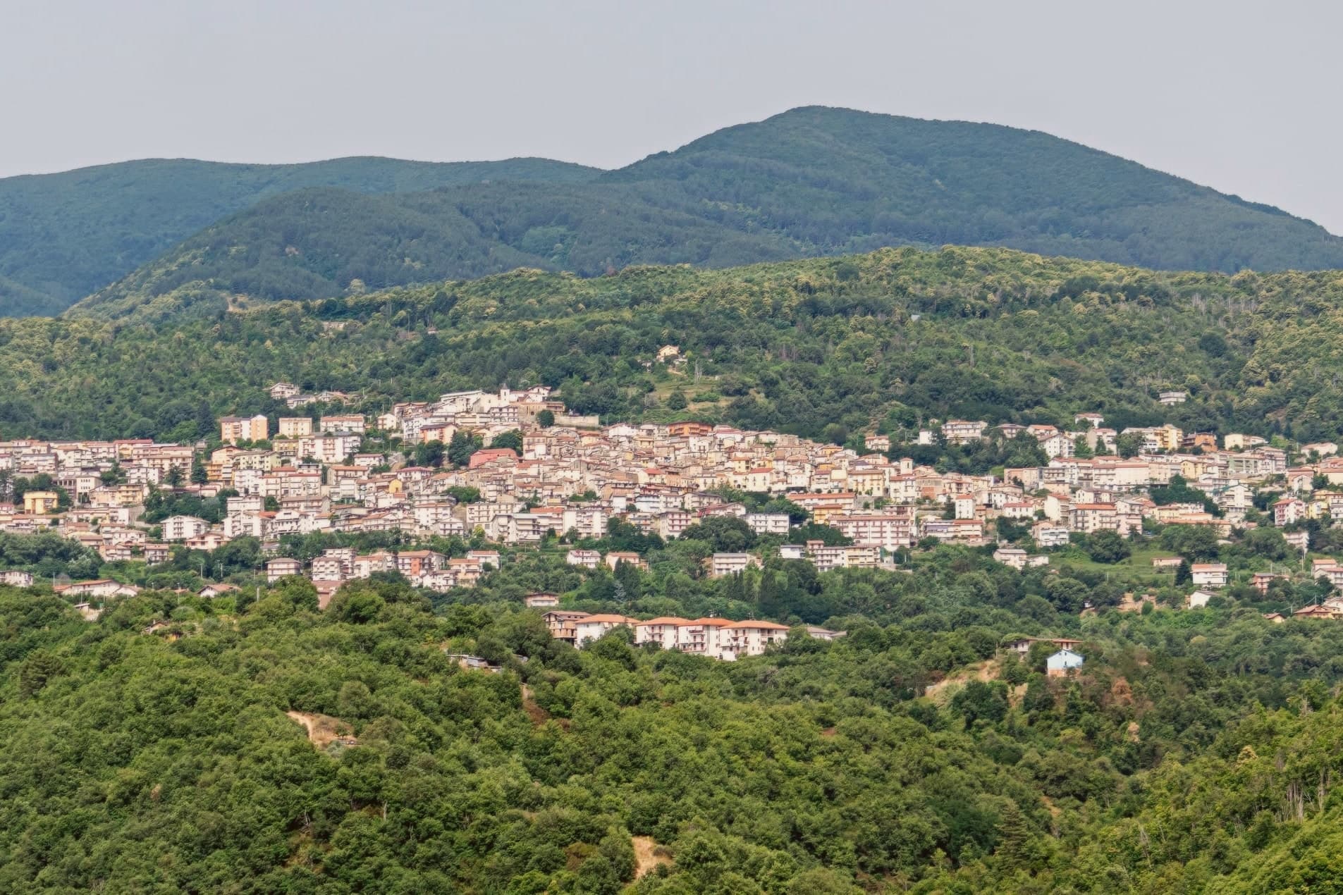
The town sits on the Presila Cosentina, twenty kilometers east of Cosenza and on the western edge of the Sila plateau. The borough likely formed at the end of the tenth century, after the Arab raids on Cosenza pushed settlement inland toward higher ground.
The commune's territory reaches well beyond the historic centre. The mountain hamlets of Croce di Magara and Moccone fall inside its boundary alongside the resort frazione, and with them a share of the national park itself: its visitor centre and wildlife enclosures, its stand of centuries-old pines, and part of the largest lake in Calabria.
Snow closes the high pastures in winter; in summer the same ground turns to hiking, mushroom-gathering and grazing country. The old village below and the high plateau above are administratively one place, even though little of daily life in one resembles the other.
What to see in Spezzano della Sila
- Santuario di San Francesco da Paola. Convent with attached cloister at the head of the historic centre, the building around which the old town still gathers.
- Chiesa di San Pietro. Parish church in the old village, the main religious anchor of the Spezzano centro storico.
- Chiesa di San Biagio. Smaller historic church dedicated to the town's patron, part of the network of religious buildings inside the borgo.
How to get to Spezzano della Sila
There is a railway station in the town, so you can arrive without a car and never need one while you are here. Reggio Calabria is roughly 170 minutes away by road.
Our tip
May through October is the long Sila season: the lifts on Monte Curcio stop, the plateau opens up to hikers, and Lake Cecita fills with anglers and picnickers. July and August are the busiest months because the cool air pulls Cosenza and Catanzaro residents up the hill to escape the coast. September and October bring porcini and chestnuts. Sagra della Cucuzza falls in July.
Praia a Mare
Why visit Praia a Mare
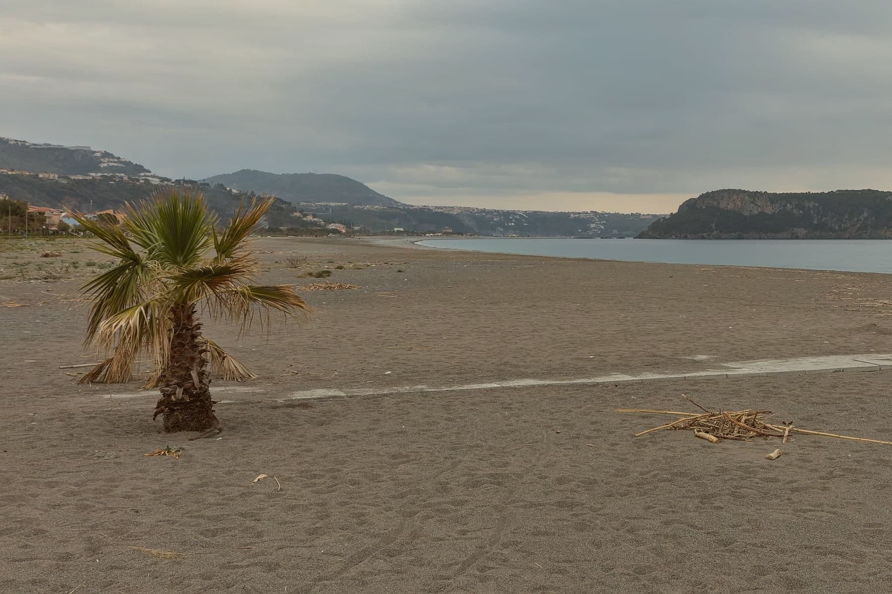
The town sits in the Gulf of Policastro at the northern end of Calabria, where the Pollino mountains drop nearly straight into the Tyrrhenian. It extends for about seven kilometers along the coast, mountain on one side, sea on the other, with Isola di Dino lying half a kilometer offshore as the point the whole shoreline is oriented toward.
Praia became an autonomous commune in 1928 and took the island with it; in 1962 Gianni Agnelli bought Dino, and a 2014 court ruling annulled the contract. The coast carries Bandiera Blu status and the inland slopes carry Pollino National Park status, so the same short stretch of ground answers to two different designations depending on which way it faces.
The bathing season runs from May into September. What holds the town together is that split: a strip of beach and pebble shore turned toward an island it once owned outright, backed by mountains that never really let go of it.
What to see in Praia a Mare
- Isola di Dino. 101 meters at its peak, with four marine caves reached by boat and colonies of dwarf palm and primula covering ground that once passed through private ownership before a 2014 court ruling returned the question of the contract to dispute.
- Spiaggia di Praia a Mare. Long dark-pebble beach facing the island, the working centre of the town through the bathing season.
- Santuario della Madonna della Grotta. Cave sanctuary cut into the cliff under Monte Crucitti, dedicated to the patron of the town, with a venerated Byzantine icon.
How to get to Praia a Mare
There is a railway station in the town, so you can arrive without a car and never need one while you are here. Salerno is roughly 120 minutes away by road.
Our tip
May through September is the bathing season. Water warms by late May, the boats to Isola di Dino's caves start running, and the beach fills by mid-July. August is the busiest month, with temperatures pushing past thirty-three and the town's six thousand residents joined by several times that number of visitors.
Belvedere Marittimo
Why visit Belvedere Marittimo
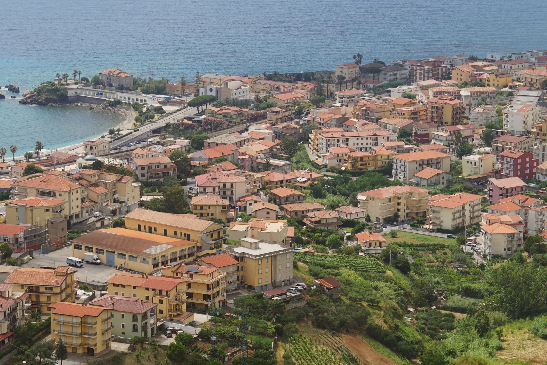
Belvedere Marittimo sits at 150 meters on the Tyrrhenian, fifty kilometers west of Cosenza. The municipal territory runs from Santa Litterata to Calabaja along the coast and climbs behind into the Pollino foothills, where the national park covers part of the commune: a town split between shoreline and mountain, with the built-up center held on the high ground between the two.
The Normans raised the original fortress around the year 1000 under Roger I, choosing the highest hill above the sea for it. Belvedere men sailed in the fleet at the Battle of Lepanto in 1571.
The relics kept in the Capuchin convent for more than three centuries gave the town its local title, Città dell'Amore, and the Riviera dei Cedri, the forty-kilometer run of coast from Tortora south to here, takes its name from the citron still grown on the hillsides above the houses. What holds the town together is the vertical arrangement: castle on the hilltop, convent below it, citron groves on the slopes, and the sea at the bottom, each layer named for what it has kept longest.
What to see in Belvedere Marittimo
- Castello Aragonese. Built by the Normans around 1000, the fortress was reworked under Ferdinand of Aragon with ceremonial gates added alongside the crenellated walls. It commands the hill above the town and the sea below.
- Convento dei Cappuccini. The convent holding the relics of San Valentino sits away from the shoreline crowds, its quiet a contrast to the title the town has taken from it.
- Riviera dei Cedri. The stretch running from Tortora south to Belvedere passes beneath hillsides still planted with cedro, the citron visible above the rooftops.
How to get to Belvedere Marittimo
Salerno is roughly 163 minutes away by road.
Our tip
May through September is the working season on the Riviera dei Cedri. The Lido fills in July and August with Italian families, June and September are the gentler months for warm sea and an open table at the lungomare. The Castello Aragonese is best in the cooler hours, the spring before the heat and the late afternoons of summer.
More from Anywhere Italy
- The best hill towns inside a national park in Calabria
- The 10 best hidden mountain towns in Calabria
- The best hill towns in the province of Cosenza
- The best mountain towns in the province of Cosenza
 The best hidden towns you can reach by train in the province of Cosenza
- The best high-altitude villages in Calabria