
The prettiest small villages within 90 minutes of Trento
Trentino builds in stone and larch, and the villages within an easy drive of Trento show it: porticoed courtyards blackened by woodsmoke, hay barns with slatted timber sides, church towers with onion domes left over from the Habsburg centuries. The valleys change character quickly, from the vineyard terraces above the Adige to the chestnut woods of the Giudicarie and the high pastures of the Val di Sole. Food follows the altitude, canederli and polenta di Storo and cured carne salada lower down, ricotta affumicata and puzzone di Moena as the road climbs. Autumn is the strongest season, when the larch turns rust and the apple harvest fills the Val di Non, though early summer brings the alpine meadows into flower.
The pull here is Lake Garda's northern shore, and specifically Riva del Garda, where the sailing school, the lakefront promenade and the cliff road bring coaches through all summer. It is a fine place, with the mountains dropping straight into the water and a mild climate that grows olives at a latitude that should not allow them. It is also, from June onwards, extremely busy, and the same is true of Madonna di Campiglio in the ski months. Both are worth seeing. Neither is quiet.
The mountains and the lake do not stop at the famous names. The same limestone walls, the same lemon terraces, the same valley churches carry on into smaller places where fewer people go, some of them a short drive from the crowds and some an hour up a side valley into a Cimbrian-speaking plateau or a chestnut plain. These are the villages that have passed the national assessment of Italy's most beautiful, and they are small enough that a morning covers them properly.
Of the 18 communes we have mapped within 90 minutes of Trento, 9 qualify as prettiest villages: each has passed the national assessment of Italy's most beautiful villages. This list is the small ones, 8 in all, ordered smallest first. The smallest, Luserna, has 267 residents.
If you are still choosing, we have also written The prettiest villages in the province of Trento and The 9 best mountain towns within 90 minutes of Trento.
Luserna
Why visit Luserna
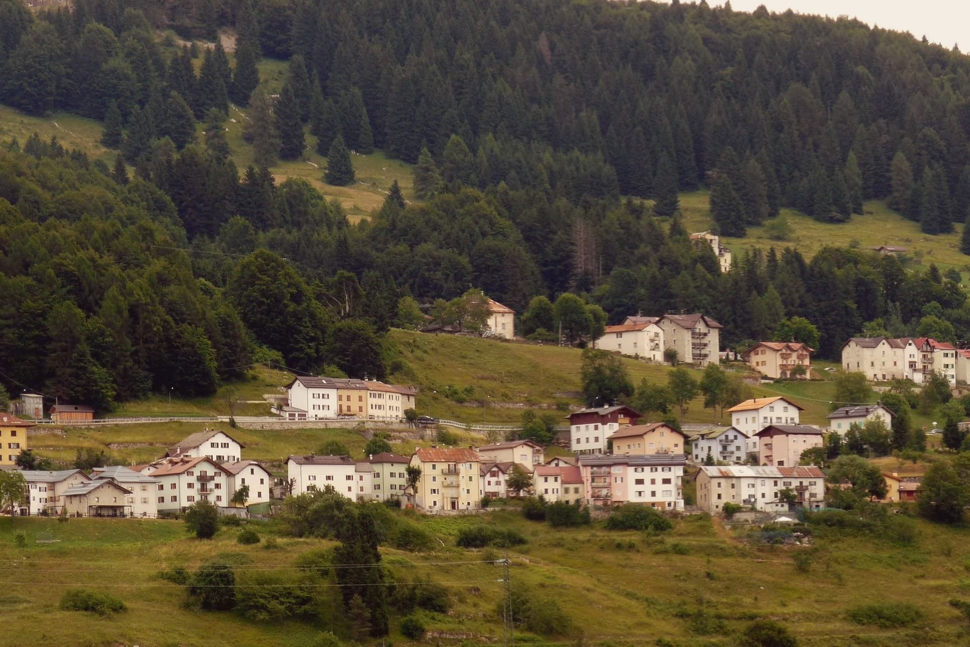
Luserna sits on the northwestern edge of the Folgaria plateau, four kilometres south of Lavarone and forty kilometres southeast of Trento. The village was founded around 1400 by Bavarian-Cimbrian colonists who moved up from nearby Lavarone, and the dialect they carried is classed by linguists as the oldest peripheral language of the German domain and the southernmost surviving in the Alps.
It was protected after the Second World War by the Gruber-De Gasperi Agreement and officially recognised in 2001 under Trentino's minority law, a legal history that runs a full half-century behind the community's own persistence in speaking the language at home. The village itself holds 267 residents, small enough that the museum complex, the restored peasant house, the old fort and the stone-and-wood core all sit within reach of each other rather than spread across a larger settlement.
What holds the place together is less any single building than the fact that the colonists' original tongue outlasted the empire whose frontier fort now stands as a museum piece nearby: the language, not the fortification, is what makes the plateau edge worth the four kilometres from Lavarone.
What to see in Luserna
- Centro Documentazione Lusérn. Documentation Centre with permanent exhibitions on the Cimbrian community, the Great War on the plateaus, prehistoric metallurgy, and Cimbrian bobbin lace.
- Casa Museo Haus von Prükk. House museum in a restored nineteenth-century Cimbrian peasant dwelling, presented by guides who explain the dialect and the traditions of plateau life.
- Werk Lusérn. Austro-Hungarian Great War fortress on the imperial frontier with Italy, heavily shelled in 1915 and now part of the plateau's fortification museum circuit.
How to get to Luserna
Trento is roughly 51 minutes away by road.
Our tip
June through September is the alpine summer at 1,333 metres: cool evenings even in July, hiking on the plateau between Luserna and Lavarone, and the museums open at full schedule. December through March is the ski season on the Alpe Cimbra circuit, with snow holding above 1,300 metres into early April. April and May are quiet shoulder months between the lift closure and the green-up of the high pastures; many services close.
Pieve Tesino
Why visit Pieve Tesino
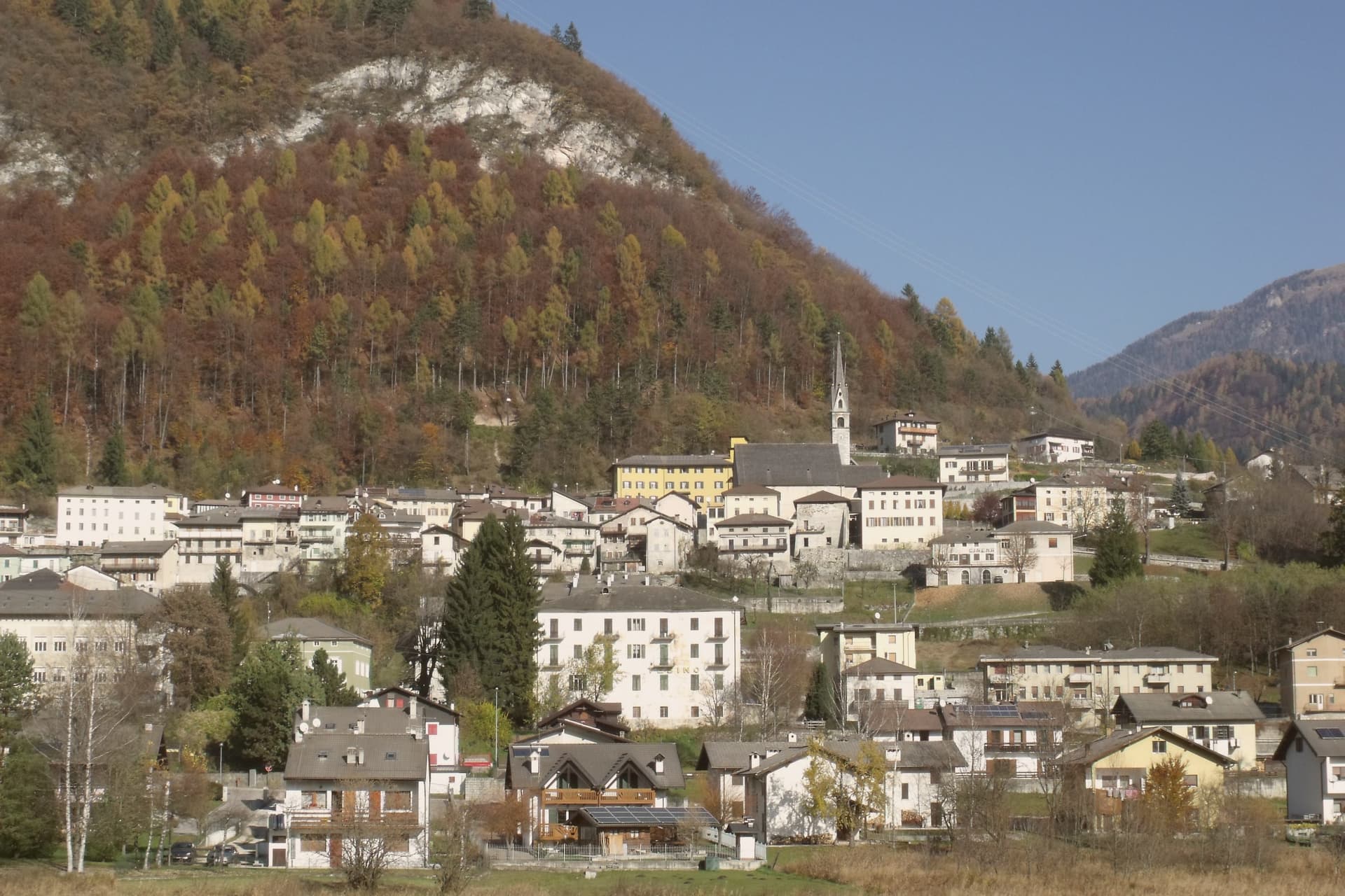
Pieve Tesino sits at 843 metres on the Altopiano del Tesino, a small plateau in eastern Trentino about forty kilometres from Trento, shared with the villages of Castello Tesino and Cinte Tesino. The plateau's isolation shaped its economy: with little arable land to keep them, generations of families went out across Europe instead, working as itinerant sellers of prints, books and small art objects, and some of them settled permanently, founding shops as far off as Madrid and Saint Petersburg.
That outward movement sits alongside the village's other export, a man rather than a trade. Alcide De Gasperi was born here in 1881 and went on to lead eight successive governments between 1945 and 1953, working alongside Schuman, Adenauer and Monnet on the early shape of European integration.
Above the houses, the arboretum climbs through alpine flora to a garden built in the shape of a parliamentary chamber, a piece of landscaping that answers his career directly rather than referring back to the trading families below. The plateau, in other words, has sent two things outward across the same borders: goods carried by hand, and an idea of how the continent's institutions might fit together.
Both are commemorated here, but neither was built here to stay.
What to see in Pieve Tesino
- Casa Museo Alcide De Gasperi. The statesman's birthplace, opened as a museum in 2006 and set on the European route of the founding fathers' homes, recognised with the European Heritage Label.
- Museo Per Via. A museum tracing the generations who left the plateau to sell prints, books and small art objects abroad, with the routes and trades they built laid out in detail.
- Arboreto di Pieve Tesino. Meadows, wetlands and woodland between 800 and 845 metres, crossed by a signed route of an hour and a half through alpine flora.
How to get to Pieve Tesino
Trento is roughly 75 minutes away by road.
Our tip
May through October is the open season for the plateau. The arboretum and the Giardino d'Europa run their full programmes, the trails into the Lagorai and toward Cima d'Asta are usable from late June through September, and the Casa Museo De Gasperi keeps long opening hours. April and November are quiet.
Ossana
Why visit Ossana
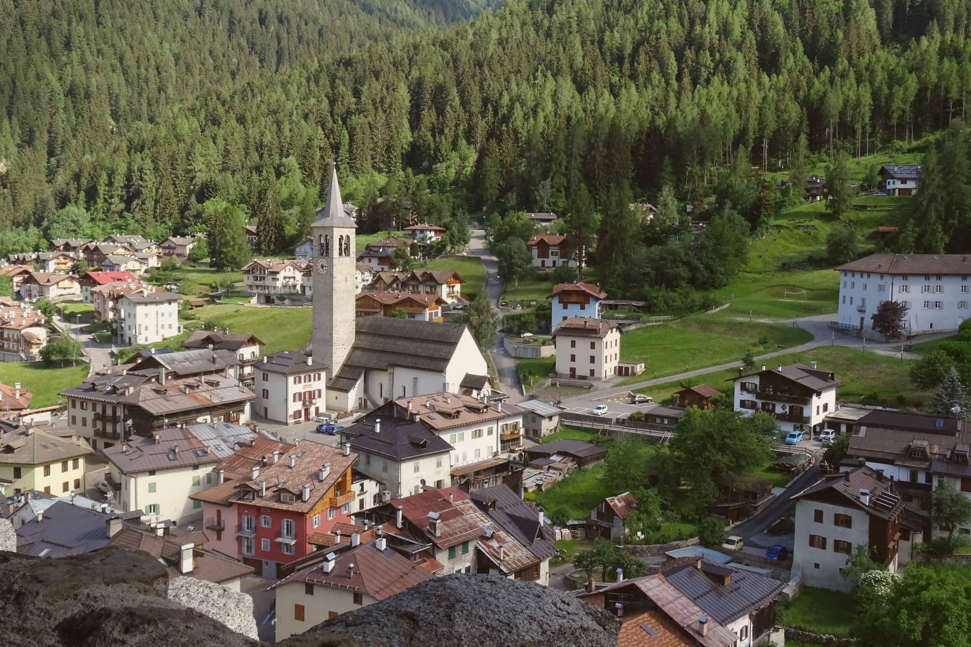
Ossana sits at 1,003 metres in upper Val di Sole, where the Vermigliana stream joins the Noce and the road climbs to the Passo del Tonale on the border with Lombardy. The keep was probably raised in the Lombard period, long before the 1191 record that first names it, and stood over the junction of the valley route and the mountain iron mines that made it worth holding.
Its owners changed with the centuries, prince-bishops, counts, and eventually an Austrian pacifist, tracing the wider shifts of power through the Adige and Sole valleys onto one hill above the village. The village below has kept its stone houses close around that hill, small enough that the castle is never out of sight from the streets.
What the place adds up to is a settlement built and rebuilt around a single point of control, the keep watching a road that once carried ore and armies and now carries travellers over the Tonale pass.
What to see in Ossana
- Castello di San Michele. Fortress dominating the village, restored by the Province of Trento and open as a visitable monument. It controlled the route between the Adige valley and the Brescian uplands, and the iron mines in the surrounding mountains.
- Borgo di Ossana. Compact historic centre of stone houses around the castle hill, recognised as one of I Borghi più Belli d'Italia in 2022.
- Chiesa di San Vigilio. Parish church of the village, with origins in the medieval period and frescoes inside the apse, a few steps below the castle.
How to get to Ossana
Trento is roughly 90 minutes away by road.
Our tip
June through September is the high-valley summer: trails open into the Stelvio National Park and the Adamello-Presanella group, the castle keeps long visiting hours, and night skies are dark enough for the village's dark-sky programme. December through March is the ski half of the year, with the Tonale and Pejo lifts ten kilometres away and the December presepi display drawing weekend visitors from across Trentino. April, May, October and November are the closure months.
Caldes
Why visit Caldes
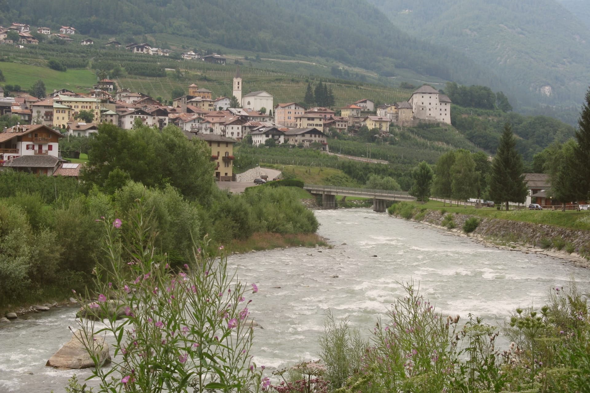
The commune sits at around 700 metres in the lower valley, along the river, thirty-five kilometres northwest of Trento and below the southern ridge of the Brenta Dolomites. It is a scattered municipality of six hamlets: the village itself, Samoclevo, San Giacomo, Cassana, Tozzaga, Bordiana and Bozzana, strung along the slope between 635 and 767 metres, each holding its own cluster of stone houses on the same grade above the river.
The castle at the centre of the arrangement was built between 1230 and 1235 by Rambaldo and Arnoldo da Cagnò as a five-storey tower-house, controlling commercial traffic up the valley together with the higher fortification above Samoclevo. It passed to a noble family in 1464, who rebuilt it into the form it holds now, and it belongs today to the autonomous province of Trento as a museum venue.
What emerges is a settlement pattern of small hamlets set at deliberate intervals along a single slope, held together historically by one river route and one controlling tower, and preserved since as a recognized example of that rural arrangement.
What to see in Caldes
- Castel Caldes. Five-storey tower-house begun in 1230 and rebuilt by the Thun family from 1464, with sixteenth-century painted rooms and coats of arms, now a Buonconsiglio museum venue.
- Borgo di Caldes. Stone-built historic centre below the castle, member of I Borghi più belli d'Italia for the preservation of its rural architecture and lanes.
- Samoclevo. Upper hamlet at 767 metres above Caldes, paired in the medieval period with the Rocca di Samoclevo to control traffic on the Val di Sole road.
How to get to Caldes
There is a railway station in the town, so you can arrive without a car and never need one while you are here. Trento is roughly 53 minutes away by road.
Our tip
May through October is the open season in the Val di Sole: the Noce runs high with snowmelt from May through July for the rafting season, and the slopes above Caldes are green for hiking from June onward. July and August are warm at 700 metres, cooler than the Trento valley but still busy with summer visitors crossing toward the Brenta Dolomites and the Stelvio. September and October are the quiet shoulder months, with clear air, low water on the river and the chestnut and walnut harvest across the hamlets.
Limone sul Garda
Why visit Limone sul Garda
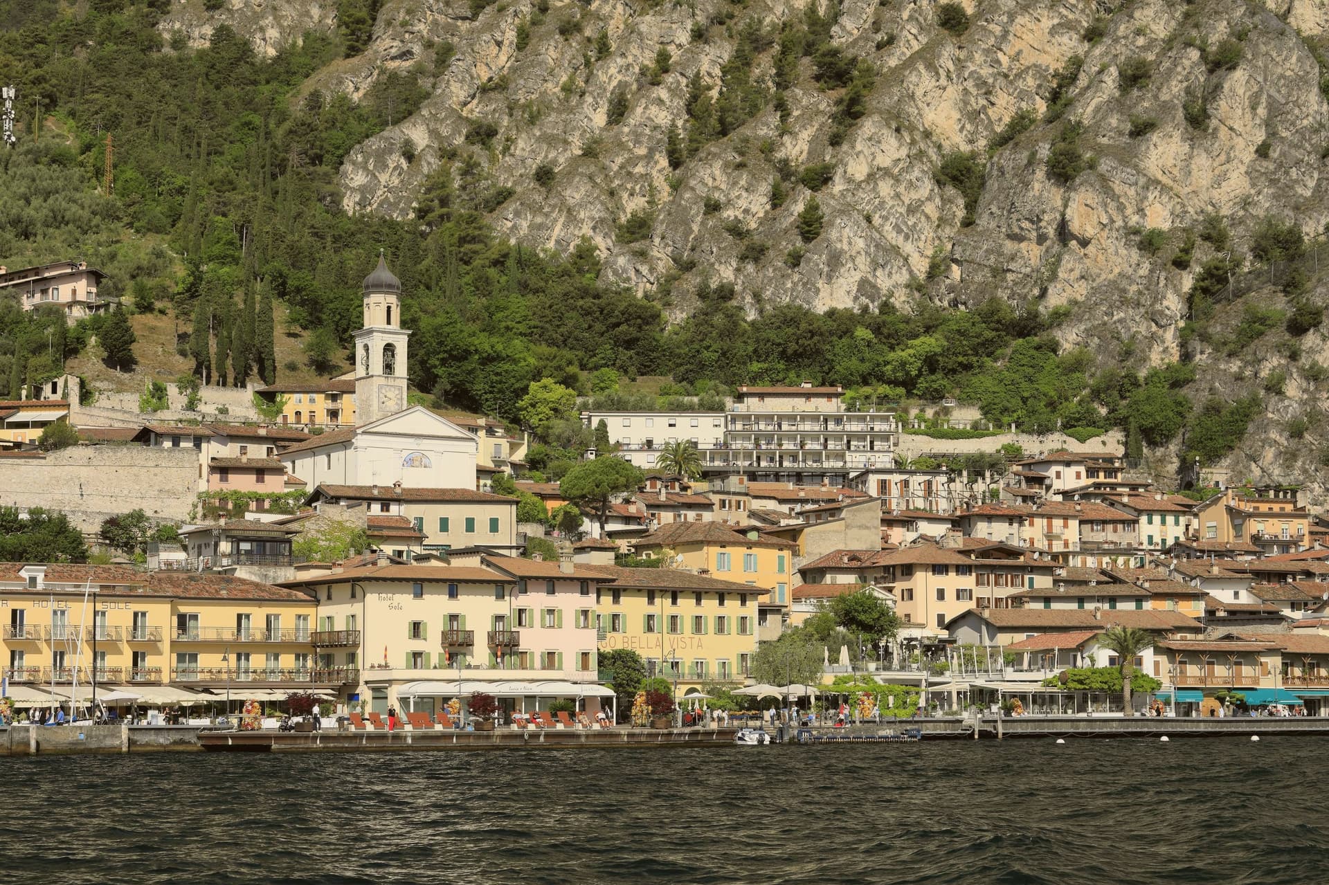
Limone sul Garda sits on the western shore of Lake Garda at the foot of vertical limestone cliffs, the northernmost commercial lemon-growing town in the world at almost 46 degrees north. The Latin limes, meaning border, gave the place its name; the Bettoni counts gave it its industry.
From the seventeenth century, limonaie, stone-pillared greenhouses heated and covered through winter, allowed lemons to be exported to Austria, Germany, Poland and Russia. The road to Riva del Garda, the Gardesana Occidentale, was carved into the cliff and finished in 1932; until then the town reached the outside world by boat or mule track.
In 1974 a Milanese pharmacologist traced a mutant apolipoprotein, ApoA-1 Milano, to a single eighteenth-century resident, Giovanni Pomarelli. Roughly forty of his descendants in town carry the variant, which suppresses cardiovascular disease and helps a handful of residents past one hundred.
What to see in Limone sul Garda
- Limonaia del Castèl. Restored seventeenth-century lemon greenhouse on stone pillars above the lake, demonstrating the heated wooden cover that protected the trees through winter.
- Chiesa di San Benedetto. Eighteenth-century parish church on the lake front, with a single nave and Baroque altars rebuilt over an older medieval foundation.
- Centro storico. Tight grid of stone alleys between the old harbour and the cliff, with narrow porticoes that survive from the pre-road fishing and citrus village.
How to get to Limone sul Garda
Trento is roughly 57 minutes away by road.
Our tip
April through June and September into October are the months that suit Limone. The lake holds spring temperatures, the lemons flower, the cliff above the town keeps morning shade until noon. July and August fill the lakefront and the cycle path, with peak crowds on weekends drawn from Verona, Milano and German-speaking Europe.
Bleggio Superiore
Why visit Bleggio Superiore
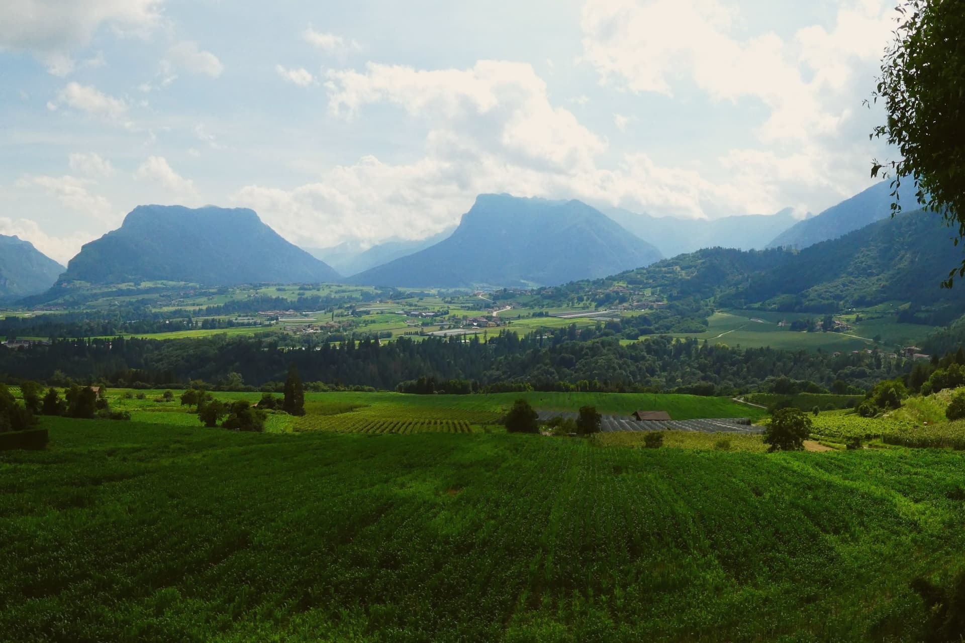
Bleggio Superiore sits in the Giudicarie Esteriori, twenty-five kilometres west of Trento and above the Sarca valley, with the Brenta Dolomites visible to the north and Lake Garda half an hour south. The commune is a scattered municipality of twelve hamlets, with its administrative seat in Santa Croce at 628 metres and Rango, its highest village, on the slope above at 799 metres.
Rango is a member of I Borghi più belli d'Italia, recognised in 2006 for the density and integrity of its rural architecture: stone houses joined by covered passages called vòlt, internal courtyards and cellars that once stored Bleggio potatoes, walnuts and cured meats. Rango holds an annual Christmas market in those same vòlt from mid-November through December.
The Noce del Bleggio, a small oval walnut grown on terraces between 400 and 800 metres, became a Slow Food Presidium in 2016 and goes into the local bread, salami and cakes. The Pieve di Santa Croce, visible from across the valley, was one of the seven medieval pievi of southwestern Trentino.
What to see in Bleggio Superiore
- Rango. Hamlet at 799 metres recognised by I Borghi più belli d'Italia in 2006 for its stone houses linked by covered passages, internal courtyards and cellars.
- Pieve di Santa Croce. Medieval parish church visible from across the Giudicarie valley, one of the seven historic pievi of southwestern Trentino, in the commune's administrative seat.
- Mercatini di Natale di Rango. Christmas market held weekends from mid-November through December inside the stone vòlt of Rango, with artisan stalls, music and Giudicarie food.
How to get to Bleggio Superiore
Trento is roughly 42 minutes away by road.
Our tip
May through September brings hiking weather across the Giudicarie terraces, with the walnut groves green and the Brenta Dolomites visible from the higher hamlets. June and July are mild at 628 metres, cooler than the valleys below, with long evenings and the start of the festa season. October is harvest month for the Noce del Bleggio, the walnut crop that feeds the local bread and salami.
Tenno
Why visit Tenno
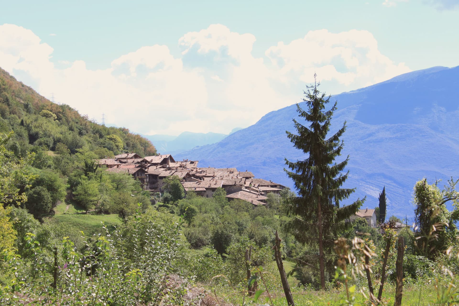
Tenno sits at 428 metres on the slope above Riva del Garda, on the old road that climbed from the Sarca valley toward the Giudicarie. The territory wraps the upper end of the lake, and the south-facing slopes carry vineyards and olive terraces up toward the settlements above.
Two places anchor the commune, a few kilometres apart. A fortress holds the high ground on a rocky outcrop, built over an older prehistoric site and positioned to watch the road below.
North of it, the hamlet keeps to its four streets and a square, stone houses joined by arches, close enough to the mountain lake that the walk between them takes half an hour. The olive groves run along the slopes between all of them, the northern edge of a growing tradition that has otherwise moved south with the climate.
What holds the commune together is elevation: a hilltop position that let a fortress watch the valley road, a hamlet keep its shape for centuries, and olives ripen further north than anywhere else that grows them by tradition.
What to see in Tenno
- Canale di Tenno. Arched passages tie the stone houses together over the road, and the four streets still converge on the same small square the hamlet was built around.
- Castello di Tenno. Fortress on a rocky outcrop above the Sarca valley, raised over the remains of a prehistoric site, once controlling the road between Garda and the Giudicarie. The view runs down to the lake below.
- Lago di Tenno. The water sits at 570 metres, still enough to show its color, with a small island near the centre and the reserve's paths tracing the shoreline.
How to get to Tenno
Trento is roughly 44 minutes away by road.
Our tip
April through June brings the olive groves into leaf, the meadows above Ville del Monte in flower and Lake Tenno at its clearest. September and October are dry and gold, with the olive harvest beginning in the second half of October on the terraces above the lake. July and August are the busiest months, when Lake Tenno fills with swimmers from Riva and the August Rustico Medioevo festival draws visitors to Canale di Tenno.
Malcesine
Why visit Malcesine
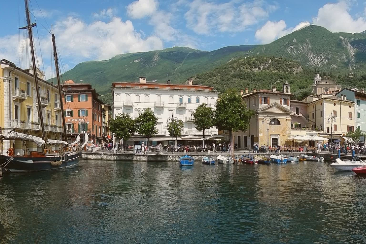
Malcesine sits at 89 meters on the eastern shore of Lake Garda, forty kilometers northwest of Verona and immediately south of Trentino-Alto Adige. The town strings together five lakeside frazioni between Navene and Cassone, pinched between the water and the slopes of Monte Baldo, which rises to 2,218 meters behind the rooftops.
The Castello Scaligero, built by the della Scala family of Verona in the thirteenth century around an older white-stone keep, is the defining building. On 14 September 1786 Johann Wolfgang Goethe was questioned in front of it on suspicion of being an Austrian spy after drawing sketches; he later devoted several pages to the episode in Italienische Reise.
The Monte Baldo cable car, opened in 1962 and rebuilt with rotating cabins in 2002, lifts walkers and paragliders to 1,750 meters in ten minutes. Olive groves along the lower slopes carry the Garda DOP olive oil designation.
What to see in Malcesine
- Castello Scaligero. Thirteenth-century Scaliger fortress on a rock above the lake, with an older white-stone keep, the rooms where Goethe was held briefly in 1786 and a museum on Monte Baldo flora.
- Palazzo dei Capitani. Fifteenth-century Venetian palazzo on the lakefront, residence of the Captains of the Lake during the Republic of Venice, with a lakeside loggia and gardens.
- Monte Baldo. 2,218-meter ridge behind the town, reached by a two-stage cable car with rotating cabins; the summit is a botanical reserve known since the sixteenth century as Hortus Europae.
How to get to Malcesine
Trento is roughly 65 minutes away by road.
Our tip
April through June and September through October are the months Malcesine is built for. The cable car runs to Monte Baldo through clear spring and autumn air, the windsurfers fill Val di Sogno when the Ora picks up at midday, and the centro storico is busy but walkable. July and August push past thirty degrees on the lake and the village queues for the cable car from eight in the morning; many German and Austrian families have rented apartments here for generations.
More from Anywhere Italy
- The prettiest villages in the province of Trento
- The 9 best mountain towns within 90 minutes of Trento
- The 7 best towns with a serious restaurant that eat well within 90 minutes of Trento
- The best small high-altitude villages within 90 minutes of Trento
- The 10 best high-altitude villages in the province of Trento
 The best lake towns within 75 minutes of Trento