
The 9 prettiest villages within 90 minutes of Rimini
The hinterland behind Rimini is limestone and sandstone country, ridges that climb out of the Adriatic plain towards Montefeltro and the first slopes of the Apennines. Villages here are built of pale local stone and warm brick, wrapped in walls the Malatesta family raised and the Montefeltro family contested, with keeps still standing over vineyards, sunflower fields and rows of olives. The food is Romagnolo and firm about it: piadina blistered on a testo, cappelletti in broth, squacquerone with figs, sangiovese from hillsides an hour inland. Late spring and early autumn are the best of it, when the valleys are green, the festival calendar fills and the heat has let go of the coast.
In August almost everyone stays on the sand. Rimini's beach clubs, Riccione's promenade and the long parade of umbrellas from Cattolica northwards absorb the whole of the Adriatic riviera's summer, and the day trips inland tend to be one castle, one lunch, then back to the sea by five. There is nothing wrong with that coast. It simply means the interior gets seen at speed, from a car park, on the hottest afternoon of the week.
The same valleys keep going past the point where the coaches turn around. Follow the Conca and the Marecchia upstream and the villages get smaller, the rock gets stranger, the piadina gets thinner, and fewer people are there to see it. These are the ones worth the drive.
Of the 21 communes we have mapped within 90 minutes of Rimini, 9 qualify as prettiest villages: each has passed the national assessment of Italy's most beautiful villages. The smallest, Montegridolfo, has 994 residents.
Two more lists worth reading alongside this one: The prettiest small villages within 90 minutes of Rimini and The best small hill towns within 90 minutes of Rimini.
Montegridolfo
Why visit Montegridolfo
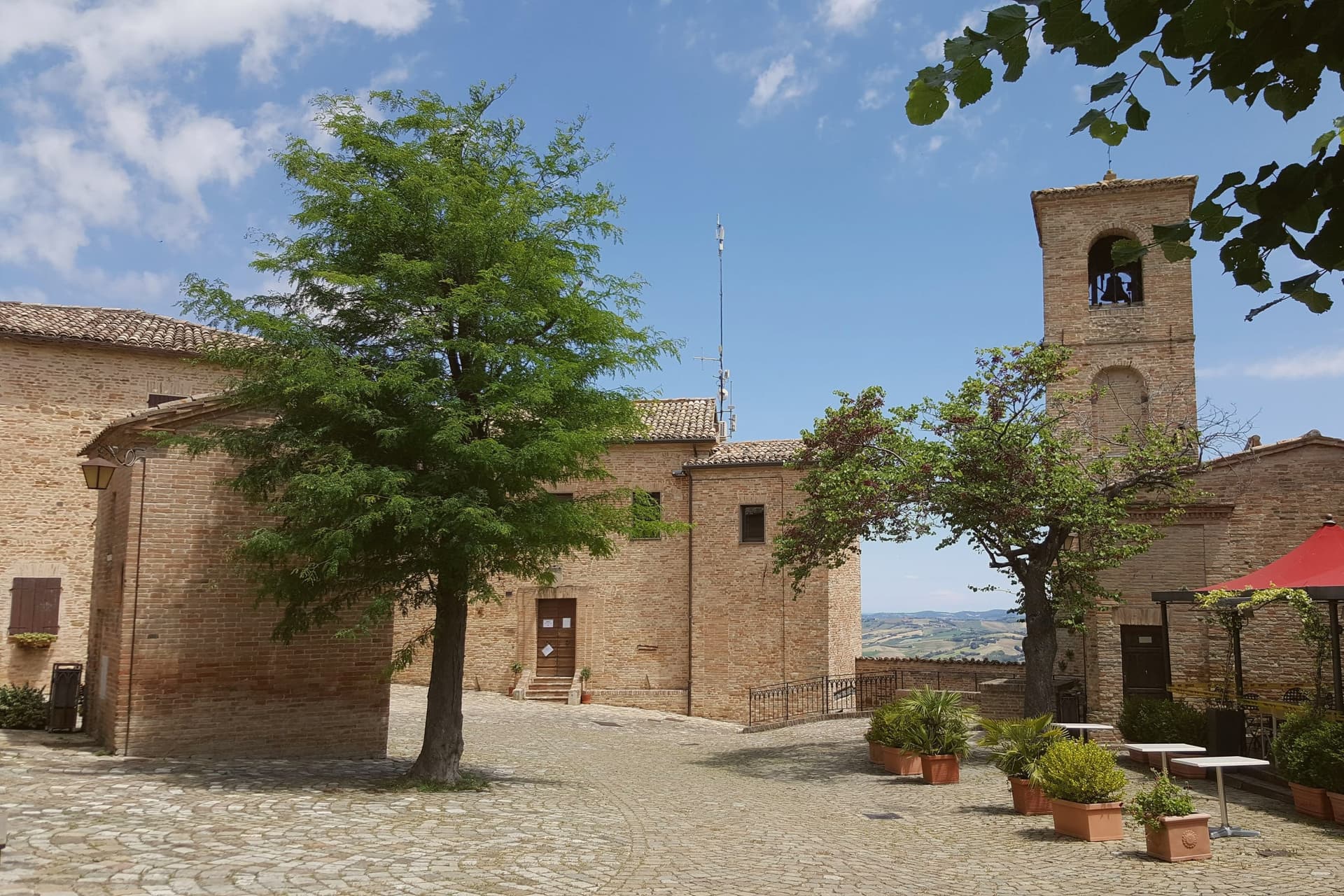
Montegridolfo sits at 290 meters on the Romagna-Marche border ridge, twenty kilometers south of Rimini and just inland from the Adriatic. A first castle is documented here in 1148, belonging to the Abbey of San Pietro of Rimini; the village took its name from the Gridolfi, a Rimini Guelph family that settled here during the conflicts with the Ghibellines.
After a sack in 1288, the Malatesta rebuilt the walls in 1337 with four corner towers. One tower survives, plus the bell tower over the gate.
The borgo passed back and forth between Malatesta and Montefeltro through the fifteenth century, fell briefly to Cesare Borgia in 1502, then to Venice, then to the Papal States in 1509. The walled nucleus today holds barely 200 of the commune's 994 residents, with the rest in Trebbio, San Pietro, and Cabaldo.
Olive oil from the surrounding ridges carries the Colli di Romagna DOP designation; the town joined the Città dell'Olio network on that basis.
What to see in Montegridolfo
- Castello di Montegridolfo. Walled fourteenth-century burg built by the Malatesta in 1337 with four corner towers, of which one survives along with the bell tower over the original gate.
- Chiesa di San Rocco. Fifteenth-century church inside the walls, built in thanks after the village was spared a plague outbreak, with frescoes attributed to the school of the Marchigiana.
- Borgo murato. Compact walled nucleus of stone houses, narrow streets and a single piazza, restored in the 1990s and inhabited by artisans and a small permanent population.
How to get to Montegridolfo
Rimini is roughly 42 minutes away by road.
Our tip
April through October are the months that work in Montegridolfo. Spring brings clear views from the walls down to the Conca valley; September and October are the dry, gold months with the olive harvest beginning at the end of October. July and August are hot but the ridge catches the Adriatic breeze and the walled nucleus stays cool in shade.
Monte Grimano Terme
Why visit Monte Grimano Terme
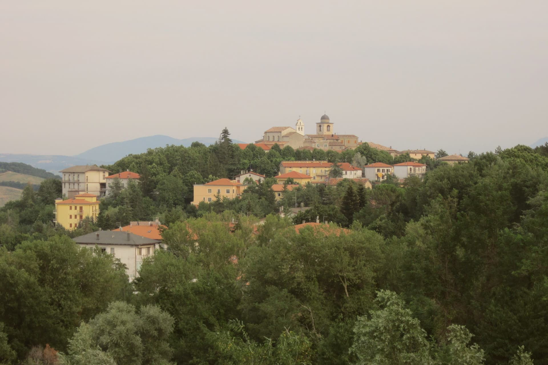
Monte Grimano Terme sits at 536 meters on a rocky spur in the Montefeltro hills, on the border between Marche and Romagna, ninety kilometers northwest of Ancona. The Romans knew the springs that surface below the borgo, though the first written record of their properties came only in 1571, in De Thermis, the early modern catalogue of Italian thermal waters.
The waters are alkaline and sulphurous. The town divides cleanly between the medieval upper settlement, ringed by the remains of its walls on the spur, and the spa below drawing on the same water source.
From the belvedere at the edge of the old town the ground drops toward the Conca valley, with the Carpegna ridge on one side and, on clear days, the Adriatic visible near Cattolica. Between them lies San Marino, part of the same Montefeltro setting that shaped the borgo's inclusion among the Borghi più belli d'Italia.
The Comuni Virtuosi membership adds a modern layer, an environmental program run by the same small commune whose waters were first written down centuries earlier. What holds the place together is that continuity: a mountain village and its springs, still working the same ground.
What to see in Monte Grimano Terme
- Centro storico. Medieval upper town on the rocky spur, with the remains of the walls, the Chiesa di San Silvestro and stone lanes around the central piazza.
- Terme di Monte Grimano. Modern spa complex below the upper town, running on the same springs Andrea Bacci catalogued, used today for respiratory, dermatological and digestive cures.
- Chiesa di San Silvestro. Parish church on the central piazza of the borgo, with later interventions on a medieval core, dedicated to the patron San Silvestro.
How to get to Monte Grimano Terme
Rimini is roughly 56 minutes away by road.
Our tip
April through October is the main window for Monte Grimano Terme. The Montefeltro hills turn green from April, the spa runs through the warm months for cure cycles, and the borgo stays cool at 536 meters when the lowland valleys touch the high twenties in July and August. June and September give the clearest air for the belvedere view across to the Carpegna ridge and the San Marino tower.
Macerata Feltria
Why visit Macerata Feltria
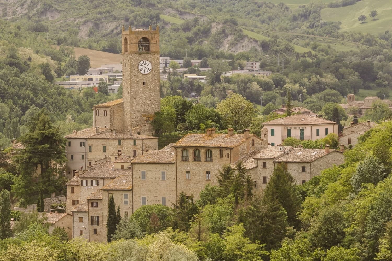
Macerata Feltria sits in the Montefeltro, the borderland shared by the Marche, Emilia-Romagna and the Republic of San Marino, on the Pesaro side of that territory. The name Pitinum Pisaurense points to its origin as a stop on the Roman road between Pisaurum, now Pesaro, and the upper Tiber, which explains why the excavated forum and baths sit at the edge of today's centro rather than beneath it: the Roman town and the modern one occupy adjoining ground, not the same footprint.
After the 8th century the site was rebuilt as a feud under the Montefeltro family, the line that produced Federico da Montefeltro, Duke of Urbino, whose profile in Piero della Francesca's portrait is the standard image of the Renaissance prince. That period left the fortifications in town and the outlying Castello di Pietrarubbia 5 km north, and it was in this same span that the parish church was raised over an earlier basilica, so the building itself is a second layer built on a first.
The 19th century added a third: the Roman thermal springs were put back into use, leading to the 1898 spa building, still running on the same sulphurous water. The Montefeltro setting also places the town among better-known neighbours: San Leo 15 km north, Urbino 30 km south, San Marino 25 km east.
Food follows the same regional line, passatelli in brodo, tagliatelle al ragù di lepre, crescia sfogliata, Bianchello del Metauro and Montefeltro Pecorino, with the Festa del Patrono San Cassiano on 13 August as the year's fixed point. Three eras, Roman, Montefeltro and the modern spa town, sit on the same small plot of ground, each one building over rather than replacing the last.
What to see in Macerata Feltria
- Parco Archeologico di Pitinum Pisaurense. The forum, amphitheatre and bath foundations sit on the edge of the modern centro, low walls in open ground rather than a reconstructed ruin. A small site museum stands next to the free excavated area.
- Pieve di San Cassiano. Stone and brick exterior largely original, with 14th-c frescoes restored inside. The building stands over an earlier Christian basilica, so the floor plan carries two churches at once.
- Terme di Macerata Feltria. A modest single building rather than a resort complex, drawing on mineral water that has been in use since Roman times. Treatment is still limited to digestive and skin conditions.
How to get to Macerata Feltria
Rimini is roughly 63 minutes away by road.
Our tip
Macerata Feltria is best April–June and September–October — the Montefeltro borderland gets hot in summer but the 321m altitude offers some relief. The Festa di San Cassiano (13 August) is the year's main civic event. The Terme are open year-round.
Montefiore Conca
Why visit Montefiore Conca
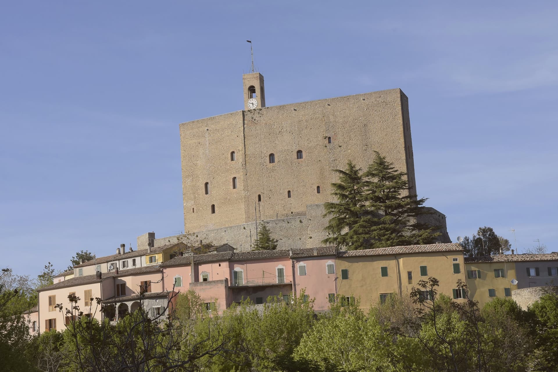
Montefiore Conca sits above the Conca river valley, twenty kilometers south of Rimini, on a hill the Malatesta chose for both military and seasonal reasons: high enough to anchor a defensive ring, mild enough for a residence to be built alongside the garrison. The fortress and the walled borgo that grew around it form a single hilltop nucleus, with the Porta Curina gate marking the point where, after Federico da Montefeltro's troops took the town in the late fifteenth century, control reverted to the Holy See, a shift the villagers recorded by carving the arms of Pope Pius II into the stone themselves.
The commune extends beyond that nucleus into the frazioni of Serbadone and Marazzano and out to the ridge holding the Santuario della Bonora, spreading the settlement from a single fortified point into the surrounding hills. Recognition is double: Borghi più belli d'Italia and Bandiera Arancione, a pairing that reads less as decoration than as confirmation that the hill the Malatesta picked for defense and comfort still functions, centuries on, as both a place to look out from and a place worth looking at.
What to see in Montefiore Conca
- Rocca Malatestiana. Mid-fourteenth-century fortress built under Malatesta Ungaro, combining military bulk with a residential wing whose frescoed halls received Pope Gregory XII and Louis I of Hungary.
- Santuario della Madonna di Bonora. Sanctuary reached on a wooded ridge two kilometers from the centro storico, with a venerated fresco of the Madonna and Child still the object of the pilgrimage traffic it draws.
- Borgo medievale. Walled hilltop nucleus around the fortress, with the Porta Curina gate carrying the Piccolomini arms of Pope Pius II carved by the villagers in the late fifteenth century, after control of the town reverted to the Holy See.
How to get to Montefiore Conca
Rimini is roughly 35 minutes away by road.
Our tip
April through June and September through October are the strongest months, with mild evenings on the hill and clear views to the coast. July and August are hot in the Conca valley but the Rocca terrace catches the breeze that the riviera below does not. The fortress opens daily in summer, weekends only from November through March.
San Leo
Why visit San Leo
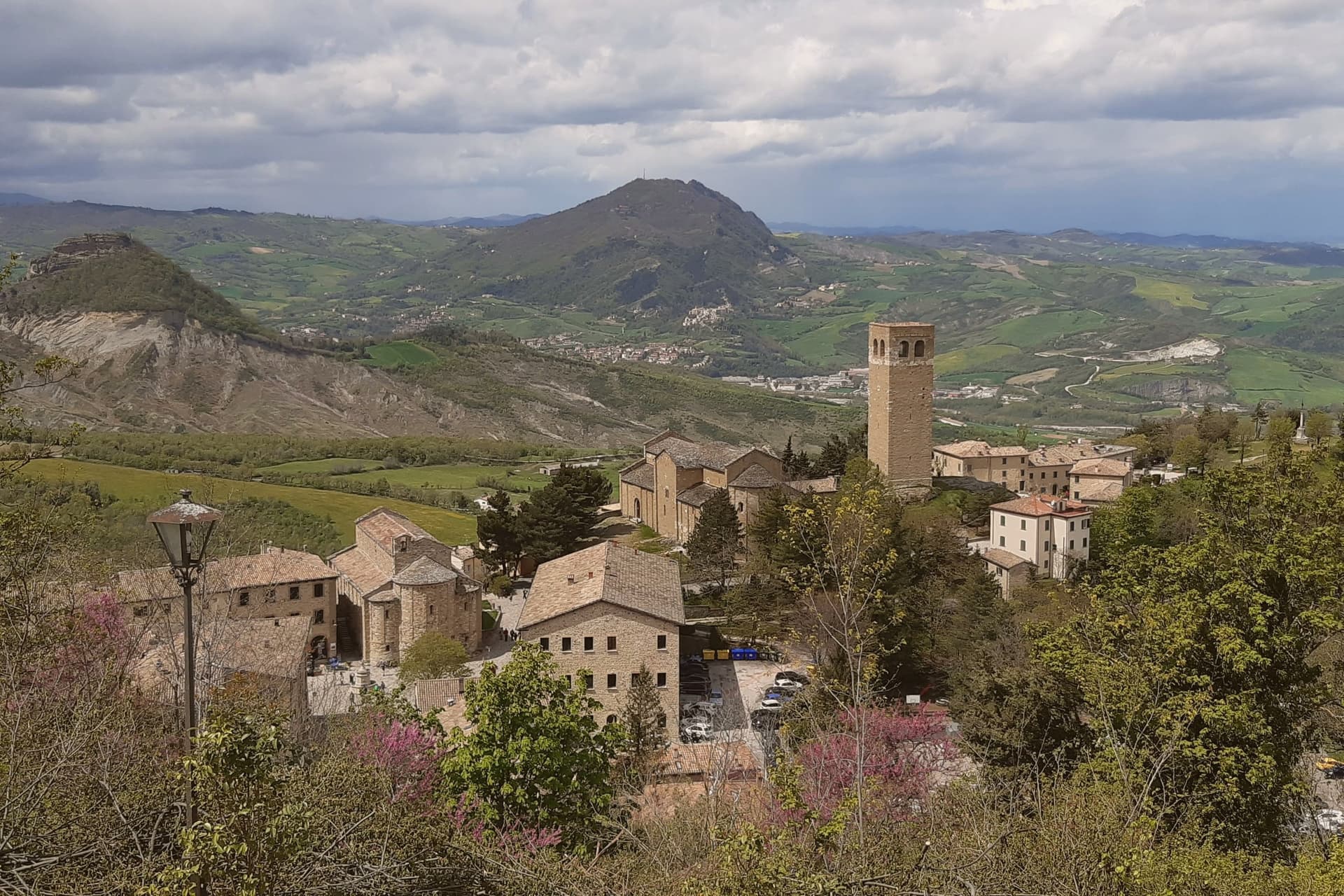
San Leo does not look quite real from below: a medieval town built on a single limestone outcrop rising straight out of the rolling Montefeltro hills southwest of Rimini, reached by one switchback road carved into the cliff face. The geography is the entire historical reason the town exists in its present form.
Saint Francis came in 1213 and received the gift of Mount La Verna from Count Orlando Cattani as a hermitage. The Hohenstaufen rebuilt an earlier fortress on the same rock in the 13th century, before the Renaissance-era rebuild that stands today, the work of Federico da Montefeltro's military architect between 1479 and 1502.
The fortress's notoriety came in 1791, when the Papal States turned it into a high-security prison for political dissidents. The most famous of them was an alchemist, occultist and Freemason who was the talk of late-Enlightenment Europe: held here by the Holy Office from 1791, he was dead in his cell by 1795 under circumstances never fully explained, and the cell itself still stands, windowless, with a single opening high above the floor once used to pass in food and remove waste.
Beyond the fortress on its rock, the town's religious core sits on the central piazza below: a 9th-century parish church, the oldest Romanesque building in Romagna, raised on reused Roman columns, stands beside a 12th-century sandstone Duomo built over a Lombard crypt. Together they anchor the lower town the way the fortress anchors the outcrop above it.
A 12th-century bell tower nearby gives the same panoramic sweep the fortress does, across the Montefeltro toward the Adriatic and toward San Marino, 12 km east and visible from both terraces. This is borderland: Emilia-Romagna, Marche and the Republic of San Marino meet here, and the kitchen mixes all three, piadina romagnola, passatelli in brodo, gnocchi al sugo di lepre and cappelletti, washed down with Sangiovese di Romagna or the local Albana DOCG white.
The town holds both the Borghi più belli d'Italia inscription and the Bandiera Arancione mark, and as with other hilltop fortress towns, the population has thinned with time, from 5,500 residents in 1951 to 2,820 today. What the rock has always offered, defensibility, isolation, a commanding view, is also what has slowly emptied it: the same vertical geography that made San Leo impossible to take is what makes it hard to keep living in.
What to see in San Leo
- Forte di San Leo (Francesco di Giorgio Martini, 1479–1502). Rebuilt by Federico da Montefeltro's military architect directly on top of the outcrop, reached by the single switchback road cut into the cliff. Cagliostro's cell is visitable inside. The defining sight of the town.
- Pieve di Santa Maria Assunta + Duomo. The parish church and the adjacent Duomo sit side by side on the central piazza, the older building raised on reused Roman columns, the Duomo built in sandstone over a Lombard crypt with a single nave.
- Torre Civica + panorama. 12th-c bell tower with the panoramic view across the Montefeltro toward the Adriatic + San Marino (12 km east, visible from the same terrace).
How to get to San Leo
Rimini is roughly 37 minutes away by road.
Our tip
San Leo is best April–June and September–October — the Forte and the Pieve are open year-round, but the single switchback road up the cliff is unpleasant in heavy rain and can close briefly in winter snow. October is the harvest in the Sangiovese hills around the Montefeltro. Summer is dry and the panoramic view at sunset toward San Marino is the season's highlight.
Gradara
Why visit Gradara
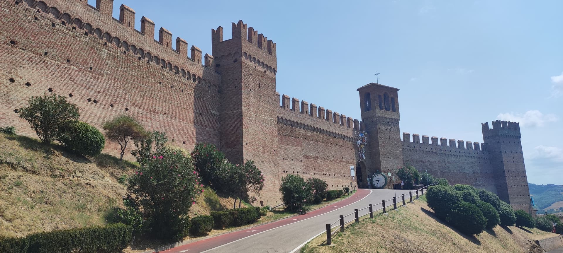
Gradara sits at 142 meters on a hill three kilometers from the Adriatic, at the northern border of the Marche with Romagna. The castle was begun in the twelfth century by Pietro and Ridolfo del Grifo and completed in the fifteenth, when the Malatesta extended the double ring of walls that still runs almost 800 meters around the borgo.
In the fifth canto of the Inferno, Dante placed Paolo and Francesca here: around 1275 Guido da Polenta of Ravenna married his daughter Francesca to Giovanni Malatesta and sent his younger brother Paolo as proxy. The two fell in love.
Gianciotto Malatesta caught them and killed both. Whether the killing happened at Gradara, Pesaro or Rimini is disputed among scholars; tradition keeps it here.
The borgo was voted Borgo dei Borghi by RAI viewers in 2018. The Castello and the Camerino di Lucrezia draw most visitors.
Olive groves around the walls supply the Cartoceto DOP oil.
What to see in Gradara
- Castello di Gradara. Twelfth-century rocca completed by the Malatesta in the fifteenth century, one of the best-preserved medieval fortresses in Italy, with the Camerino di Lucrezia frescoed cycle.
- Mura medievali. Double ring of fourteenth and fifteenth-century walls running almost 800 meters around the borgo, walkable along the camminamento.
- Camera di Paolo e Francesca. Frescoed chamber inside the castle, traditionally identified as the room where Dante set the killing of the two lovers.
How to get to Gradara
Rimini is roughly 30 minutes away by road.
Our tip
May through September is the working season for Gradara. The hill is dry from late April, the castle and walls are open every day, and the literary park below the rocca turns green into June. July and August bring the heaviest crowds: the proximity to Cattolica and Gabicce Mare puts seaside families on the castle road and the borgo's narrow streets fill from mid-morning. Giovedì al Castello - Rievocazione storica falls in August.
San Giovanni in Marignano
Why visit San Giovanni in Marignano
San Giovanni in Marignano sits at 29 meters on the low Conca-valley plain, five kilometers inland from Cattolica and twenty kilometers south of Rimini. Ravenna monasteries reclaimed the marshy ground in the twelfth century, and from the late thirteenth century the village became the principal grain reserve of the Malatesta state.
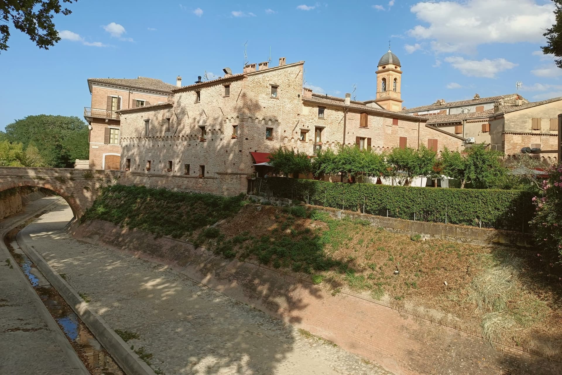
More than two hundred fosse del grano survive beneath the centro storico, underground pits dug along the main streets under the shelter of the medieval walls, used from the 1400s onward for cereal storage. The Malatesta-period walls are still legible in long sections.
The town gives onto the legend of Saint John's Eve: witches were said to pass through here on their summer-solstice journey toward Benevento. Since 1988 the Notte delle Streghe in late June has filled the borgo with reenactments, fire rituals, and crowds from across the Riviera, marking the opening of the Romagna summer.
What to see in San Giovanni in Marignano
- Centro storico fortificato. Walled medieval nucleus on the rectangular Malatesta plan, with surviving sections of fourteenth-century walls and two gates on the main axis.
- Fosse del grano. Over two hundred medieval grain pits beneath the streets, dug from the fifteenth century onward to store cereal as part of the Malatesta granary system.
- Chiesa di San Pietro. Eighteenth-century parish church on the main piazza, with a wooden crucifix from the school of Donatello and a Renaissance baptismal font.
How to get to San Giovanni in Marignano
Rimini is roughly 23 minutes away by road.
Our tip
April through June and September through October are the working months. The Conca plain is mild in spring, with the wheat fields turning gold by late May. The Notte delle Streghe in the four days around 24 June is the calendar date that locals plan the year by; the borgo fills with reenactors, fire spectacles, and crowds from Cattolica and Rimini.
Verucchio
Why visit Verucchio
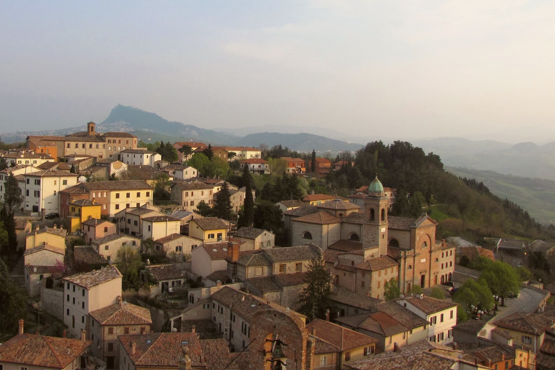
Verucchio sits on a 330-meter spur over the lower Marecchia valley, eighteen kilometers from Rimini and within sight of the Adriatic plain. A Villanovan settlement occupied this ridge from the twelfth to the seventh century BC and left a necropolis whose chamber tombs, amber, bronze, and worked wood form the Museo Civico Archeologico collection now housed in the former Augustinian convent.
The town is also the home ground of the Malatesta, named for Malatesta da Verucchio, founder of the lordship that would rule Rimini, Cesena, Pesaro, Fano and Fossombrone for two centuries; his Rocca Malatestiana, also called Castel del Sasso, is one of the largest and best-preserved Malatesta fortifications and his birthplace. A second fortress, the Rocca del Passerello, holds the lower end of the ridge.
The commune extends to the frazione of Villa Verucchio, where the cypress planted by Saint Francis of Assisi during a 1213 visit still grows in the convent cloister.
What to see in Verucchio
- Rocca Malatestiana. Twelfth-to-sixteenth-century fortress on the highest point of the ridge, birthplace of Malatesta da Verucchio and one of the largest Malatesta fortifications surviving.
- Museo Civico Archeologico. Villanovan archaeology museum in the former Augustinian convent, holding amber jewellery, bronze armour and a wooden throne from the seventh-century BC necropolis.
- Rocca del Passerello. Second Malatesta fortress at the lower end of the ridge, smaller than the Sasso but built into the same defensive system in the fourteenth century.
How to get to Verucchio
There is a railway station in the town, so you can arrive without a car and never need one while you are here. Rimini is roughly 27 minutes away by road.
Our tip
April through October are the strongest months in Verucchio. Spring brings green slopes and clear views down the Marecchia to Rimini; September and October are the dry months when the Sangiovese harvest begins on the surrounding hills. July and August can touch thirty-four degrees on the ridge but the spur catches the Adriatic breeze the coastal flat does not.
Vallefoglia
Why visit Vallefoglia
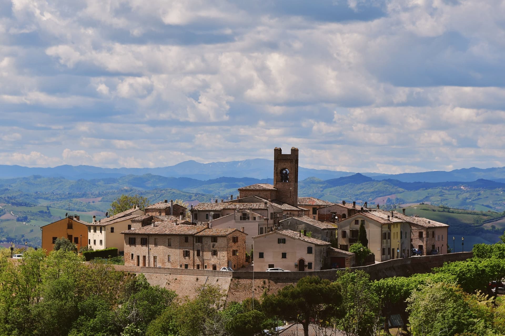
Vallefoglia was created in 2014 by referendum, when 76.3% of voters approved the merger of Colbordolo and Sant'Angelo in Lizzola, two adjacent communes in the Foglia valley between Pesaro and Urbino. The new commune sits at 295 meters and runs along the river that gives it its name, on the route between the Adriatic coast and the Montefeltro hills.
Colbordolo's castle is documented from 1213 in a bull of Pope Innocent III, and in 1446 Sigismondo Pandolfo Malatesta took it from the Montefeltro after a long siege and burned it. Giovanni Santi, the painter who fathered Raffaello, was born in Colbordolo around 1440 and ran the workshop in Urbino where his son trained.
Sant'Angelo in Lizzola produced the engineer Giovanni Branca (1571-1645) and the Risorgimento statesman Terenzio Mamiani (1799-1885); the circle of Giulio Perticari and his wife Costanza Monti drew Leopardi and Rossini in the nineteenth century. Olive oil from the valley slopes carries the Città dell'Olio signal.
What to see in Vallefoglia
- Castello di Colbordolo. Medieval castle documented from 1213, contested between the Malatesta and the Montefeltro, burned by Sigismondo Pandolfo Malatesta in 1446 and rebuilt at lower scale.
- Palazzo Mamiani-Della Rovere. Sixteenth-century palace in Sant'Angelo in Lizzola, family seat of the Mamiani della Rovere, who produced Risorgimento statesman Terenzio Mamiani.
- Centro storico di Sant'Angelo in Lizzola. Hilltop nucleus on the right bank of the Foglia, with the Piazza della Repubblica, the Chiesa di Sant'Apollinare and views to the Montefeltro ridges.
How to get to Vallefoglia
Rimini is roughly 44 minutes away by road.
Our tip
April through June and September into October are the best months for Vallefoglia. The Foglia valley turns green in spring, the olive groves run silver across the slopes through summer, and the harvest weeks in October fill the small frantoi. July and August touch the low thirties on the valley floor; the higher frazioni at 295 meters and above catch evening breezes from the Montefeltro.
More from Anywhere Italy
- The prettiest small villages within 90 minutes of Rimini
- The best small hill towns within 90 minutes of Rimini
- The 8 prettiest villages in the province of Pesaro e Urbino
- The prettiest small villages in Emilia-Romagna
- The best hill towns that eat well within 90 minutes of Rimini
- The prettiest villages that eat well in Emilia-Romagna