
Tuscany · Grosseto
Santa Fiora
An Aldobrandeschi and Sforza mountain borgo on Monte Amiata at 687 meters, holding one of the world's largest collections of Della Robbia terracotta.
- Best time
- May–Oct
- By car
- 1 h 30 min from Siena
- Population
- 2,490
Known for
DELLA ROBBIA
One of the world's largest collections of Andrea della Robbia glazed terracotta, commissioned by the Sforza counts between 1480 and 1495.
PESCHIERA SFORZESCA
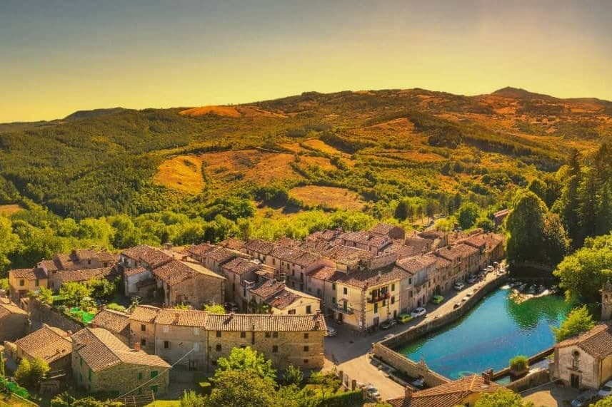
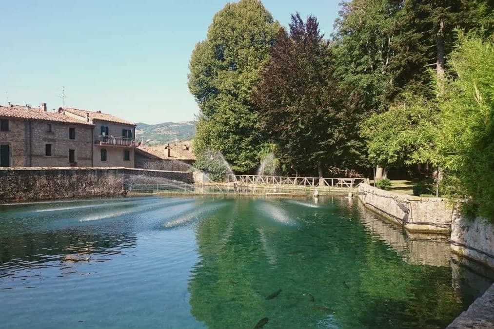
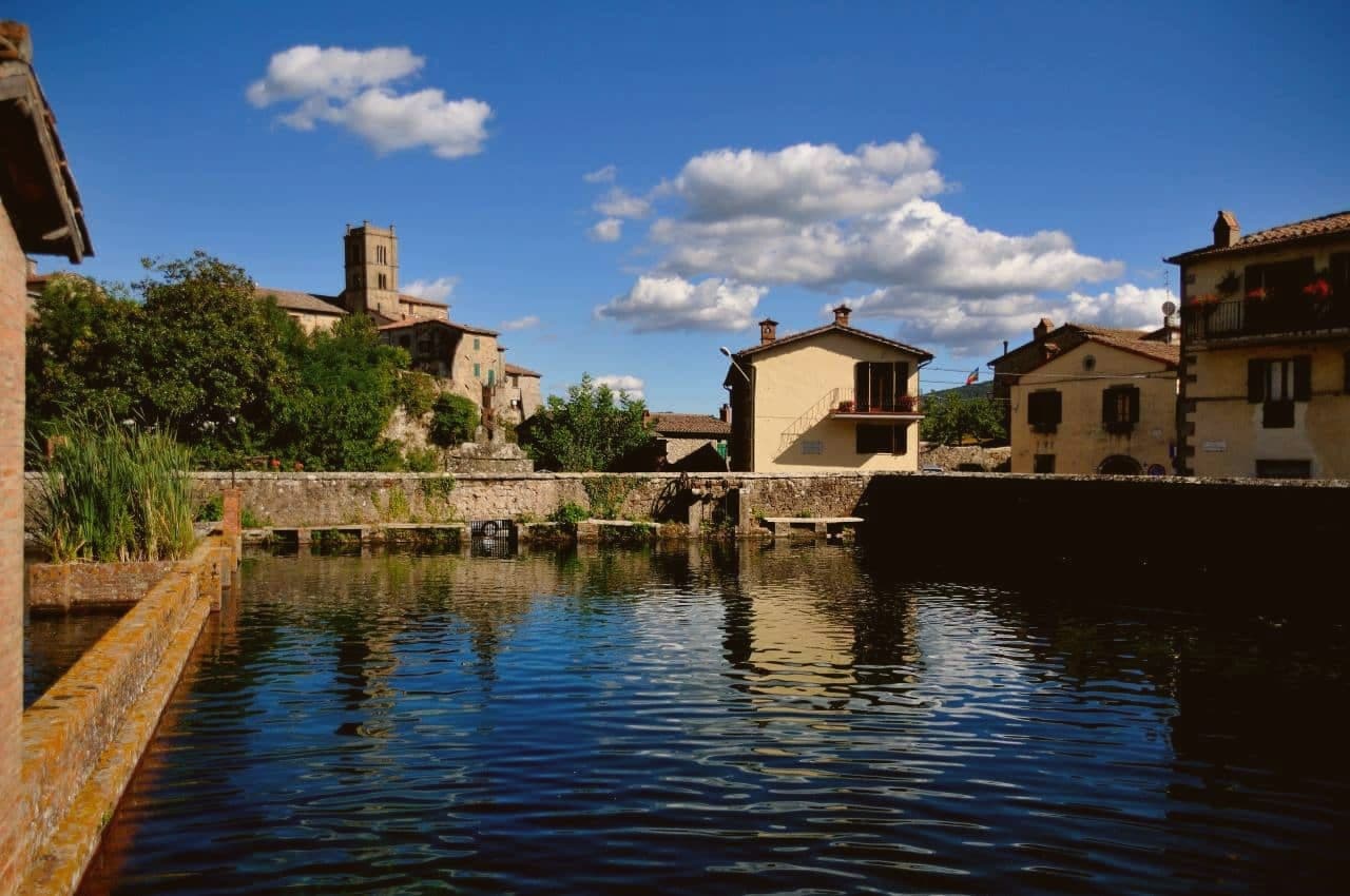
Sixteenth-century walled pool at the source of the Fiora river, built by the Sforza counts as a private fish reserve under a hilltop chapel.
MONTE AMIATA
Extinct volcano of southern Tuscany, beech and chestnut forests on the slopes above Santa Fiora, source of the Fiora and Albegna rivers.
TOSCANO
The commune lies inside the Toscano IGP production zone.
When to visit
Best · May–Oct
- J8°
- F10°
- M11°
- A14°
- M19°
- J24°
- J29°
- A28°
- S22°
- O18°
- N12°
- D9°
- Best
- Hot or crowded
- Quiet
- Mostly closed
Daytime averages, 2020–2024. Weather data by Open-Meteo.com.
The festa: Flora, Lucilla, Eugenio e compagni, 29 July
Why come
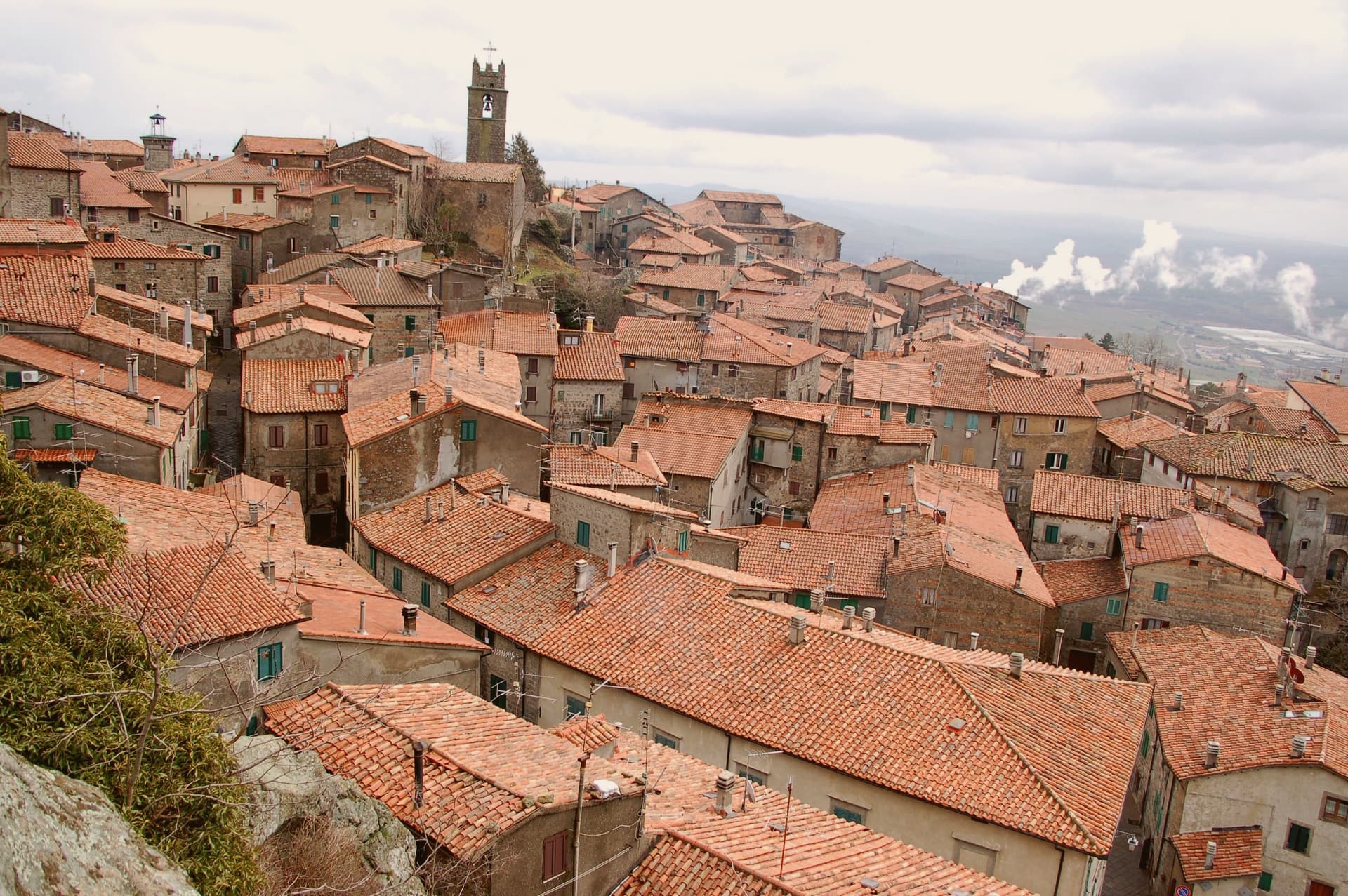
Santa Fiora sits on the wooded southern slope of Monte Amiata, forty kilometers east of Grosseto. The Aldobrandeschi held the hill from the eleventh century, walling the borgo around their castle; through the late Middle Ages and Renaissance the town passed to the Sforza branch that produced the Sforza-Cesarini, Counts of Santa Fiora. The upper part of the borgo keeps the castle and the old walled core, while the parish church and the spring-fed pool sit lower, closer to where the Fiora rises. The Sforza left their mark in both directions: religious patronage in the terracotta commissions for the church, and practical engineering in the walled fish pool built over the river's source, a chapel standing beside it.
The Fiora leaves the town under the counts' pool and runs the rest of its length down through Maremma to the sea. The place reads as a single family's imprint worked into stone, water and clay across five centuries, upper fortress and lower spring both answering to the same patrons.
The Sunday letter
Santa Fiora is on our list. Its letter is still to come.
We are writing about all 1,000 of these towns, one at a time, in a free letter every Sunday: the photo, the food, the festa. That is our mission. Sign up and you will be there when Santa Fiora comes up. By Peter & Sophia, from Pietrasanta.

How to get there
From Florence / Pisa (PSA), about 2h 51m by car.
Rome (FCO) is about 3 hours away.
By car from the centre of Siena 1h 30m, Perugia 1h 50m or Florence 2h 27m.
What to see
Pieve delle Sante Flora e Lucilla
Parish church founded before the year 1000 and rebuilt in the thirteenth century. Inside, Andrea della Robbia's Baptism of Christ, Coronation of the Virgin and a pulpit relief of the Last Supper.
Peschiera Sforzesca
Clear water holding carp and trout inside the walled enclosure, the small Chapel of the Madonna delle Nevi standing alongside.
Castello Aldobrandesco
The original walled core of the borgo, begun in 1082, later serving as residence of the Sforza-Cesarini counts.
Chiesa della Santissima Trinità
Sixteenth-century church on the lower edge of the borgo, a simple stone façade over an interior holding a further terracotta relief.
Fiume Fiora
River rising at the pool below the castle, running 78 kilometers through Maremma to the Tyrrhenian at Montalto di Castro.
The slow-trip planner
Building a trip? Find where Santa Fiora fits in a slow Italy circuit.
Answer five questions. We will shape a geographically coherent slow trip from the 1,000 Italian towns most travelers skip. Yours to save and share.
Living here
- Population 2,490
- Remotei
- Pharmacy in town
- High school within a 30-minute drive
- Nearest airport Florence / Pisa, 2 h 51 min drive
- Regional capital Firenze, 2 h 27 min drive
Common questions
- What is Santa Fiora known for?
- Santa Fiora is an Aldobrandeschi and Sforza mountain borgo on Monte Amiata at 687 meters, holding one of the world's largest collections of Della Robbia terracotta.
- Where is Santa Fiora?
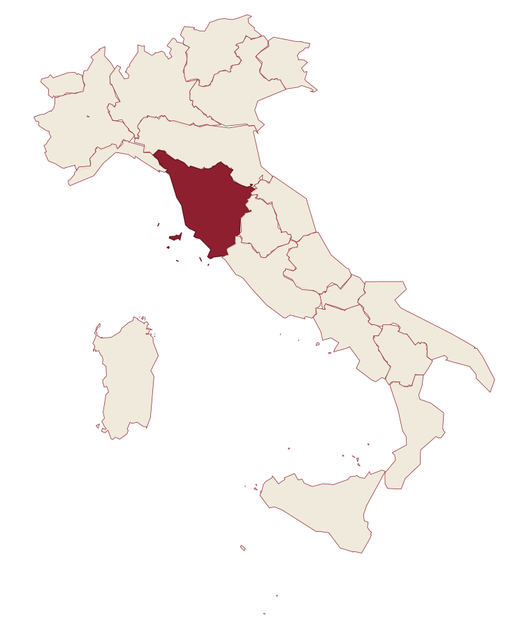
- Santa Fiora is a comune in the province of Grosseto, in Tuscany.
- What is the nearest airport to Santa Fiora?
- Florence / Pisa (PSA), about 2h 51m by car.
- How long is the drive from Siena to Santa Fiora?
- About 1h 30m by car.
- When is the best time to visit Santa Fiora?
- Best in May–Oct. July is the warmest month, averaging 29 degrees, and May the wettest, with about 14 rain days.
- Is there a sagra or a festival in Santa Fiora?
- The town keeps its patron saint's day: Flora, Lucilla, Eugenio e compagni, 29 July.
- Which other towns are like Santa Fiora?
- Pennabilli, Gavoi and Cascia.
- How many people live in Santa Fiora?
- 2,490 at the 2023 count.
Tags & datadesignations · numbers · sources
Recognised as
The numbers
- Elevation: 687 m
- Population: 2,490
- Surface area: 63.45 km²
These figures were compiled from public directories: ISTAT, OpenStreetMap and Wikidata, and from the official listings of the guides named on this page. Town details change; verify with official sources before you travel.
Similar
Towns like Santa Fiora
Pennabilli
Province: Rimini
both mountain-valley towns · both under 3,000 people
Gavoi
Province: Nuoro
both mountain-valley towns · both under 3,000 people
Cascia
Province: Perugia
both mountain-valley towns · both under 3,000 people
Introdacqua
Province: L'Aquila
both mountain-valley towns · both under 3,000 people
Corniglio
Province: Parma
both mountain-valley towns · both under 3,000 people
Calvello
Province: Potenza
both mountain-valley towns · both under 3,000 people
🎨 Borghi più belli d'Italia
More Borghi più belli d'Italia towns in Tuscany
Anghiari
Province: Arezzo
A walled medieval town at 430 meters over the upper Tiber valley, where Florence beat Milan in 1440 and Leonardo started the fresco he never finished.
Barga
Province: Lucca
A medieval hilltop town at 410 meters in the Serchio valley, where Giovanni Pascoli wrote his last poems and the August festival serves fish and chips.
Buonconvento
Province: Siena
The walled brick borgo in the Crete Senesi where Emperor Henry VII died in 1313, on the Via Cassia at the confluence of the Arbia and Ombrone.
Campiglia Marittima
Province: Livorno
A walled hilltop borgo above the Val di Cornia, where the Rocca tower watches a mining landscape worked from the Etruscans to 1976.
Capalbio
Province: Grosseto
A walled hilltop borgo at 217 meters in the southern Maremma, donated to the Abbey of Tre Fontane by Charlemagne.