
Umbria · Perugia
Fossato di Vico
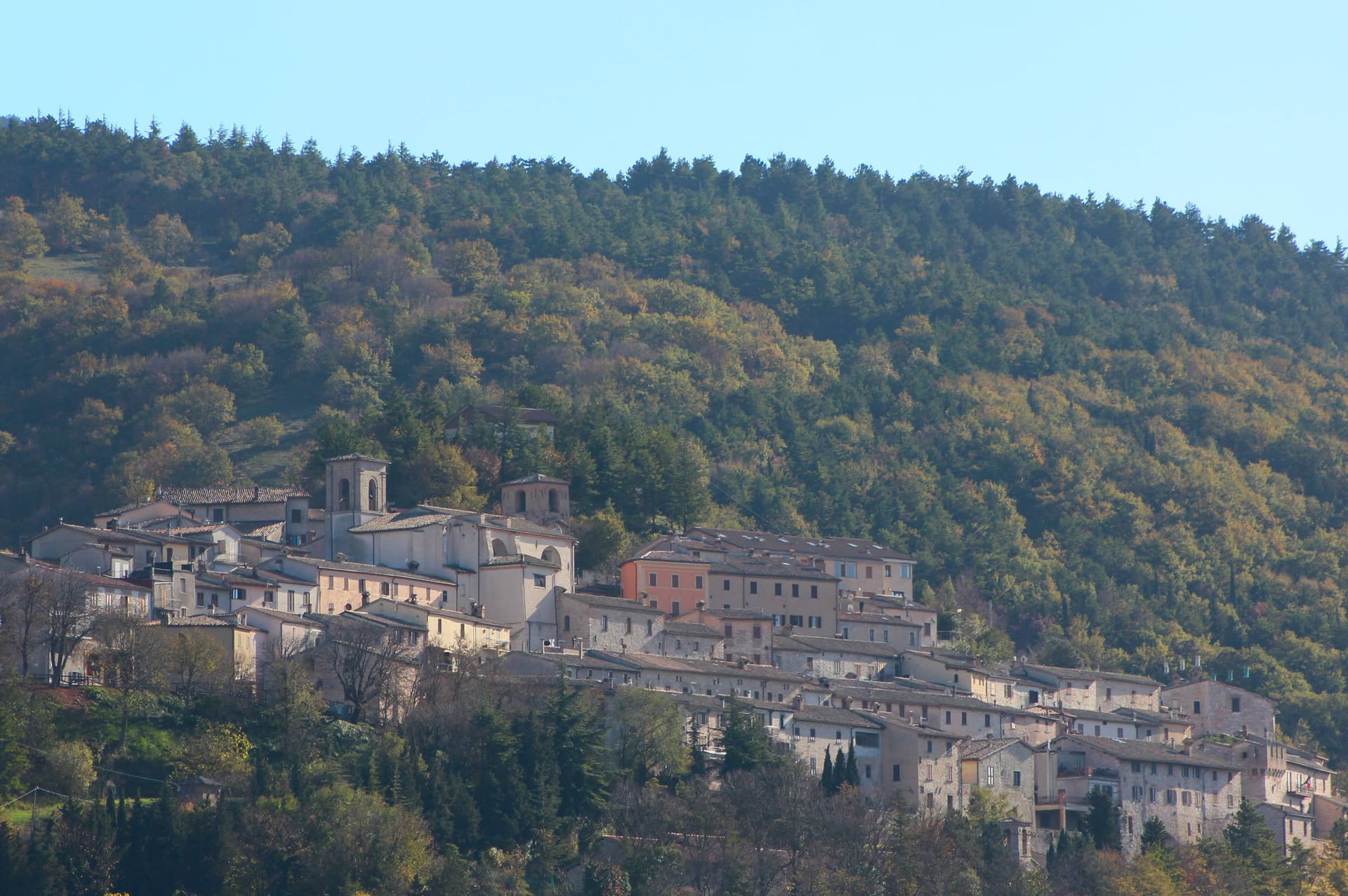
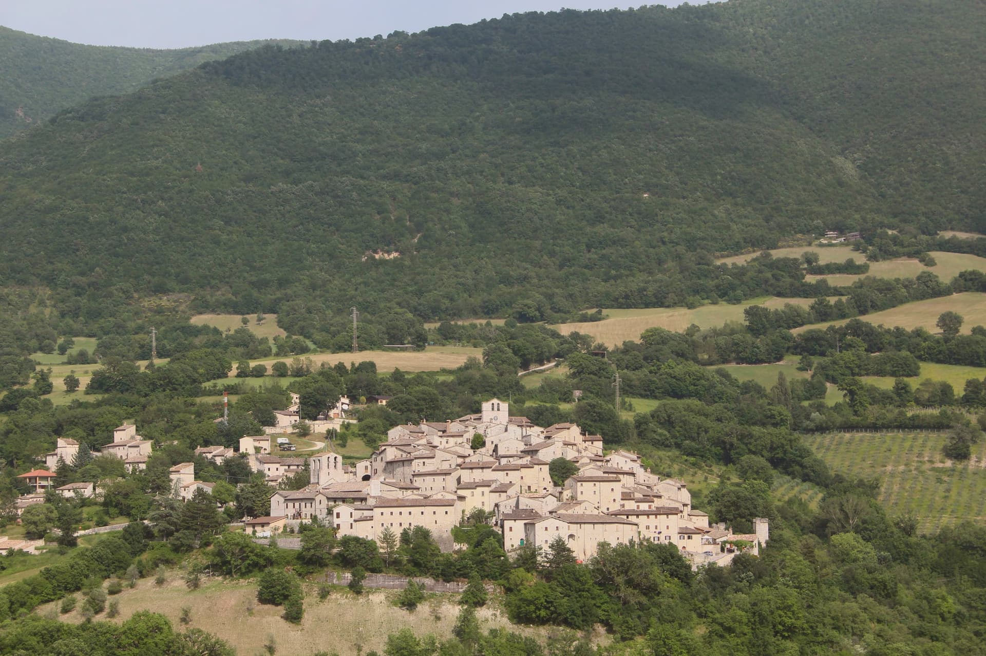
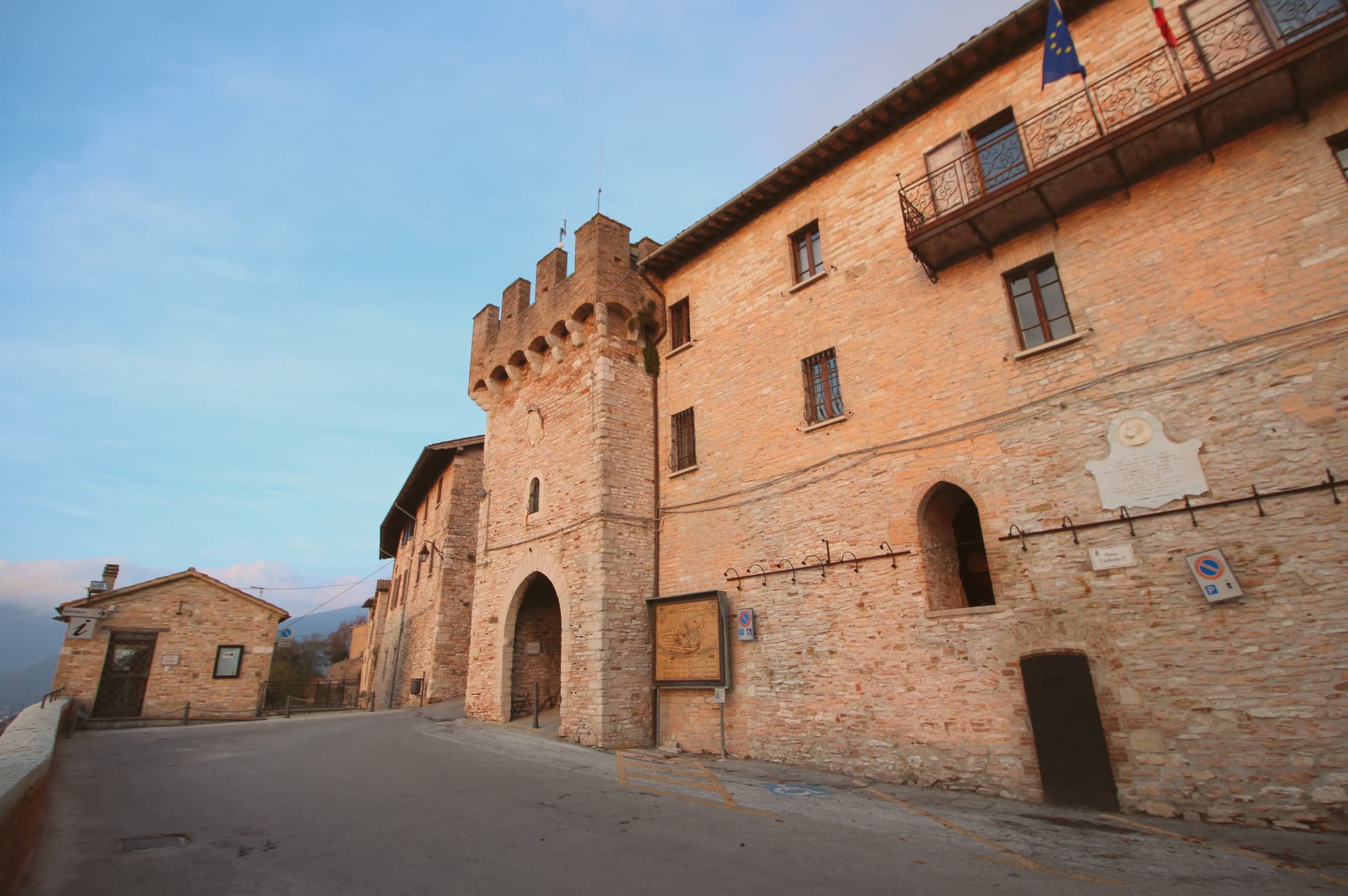
A medieval village on Mount Mutali at 581 meters, where the Via Flaminia's Roman waystation Hellvillum became a tenth-century castle still threaded by covered alleyways.
- Best time
- Apr–Oct
- By car
- 45 min from Perugia
- By train
- Station in the comune
- Population
- 2,639
Known for
LE RUGHE
Stone-vaulted covered alleys, thirteenth-century defensive street architecture preserved as the borgo's main internal axis.
VIA FLAMINIA
The Roman road of 220 BC ran through the commune, with the changing station Hellvillum as the original settlement nucleus.
SAN BENEDETTO
Benedictine abbey outside the walls, Eugubine-school frescoes including an early known portrait of Pope Urban V.
When to visit
Best · Apr–Oct
- J7°
- F10°
- M11°
- A14°
- M19°
- J25°
- J29°
- A29°
- S23°
- O18°
- N12°
- D9°
- Best
- Hot or crowded
- Quiet
- Mostly closed
Daytime averages, 2020–2024. Weather data by Open-Meteo.com.
The festa: San Sebastiano, 20 January
Why come
Fossato di Vico stands at 581 meters on the slopes of Mount Mutali, on the line of the Via Flaminia between Foligno and Gubbio. The Romans built a changing station here called Hellvillum after laying the road in 220 BC. The borgo proper was founded in 980 by Lupo, called Vico, son of Monaldo, count of Nocera.
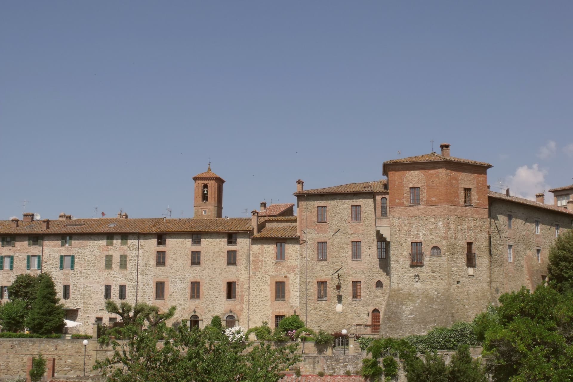
In the twelfth century it passed to the Marsciano counts, who eventually sold it to Gubbio; in the thirteenth Perugia took it militarily and the commune declared independence. What survives from that period is the network of covered passages called Le Rughe, stone vaults that turned the street into a defensible interior, a rare example of thirteenth-century castle architecture used as everyday infrastructure. The church of San Pietro, the oldest in town, predates the castle and was founded as a Camaldolese monastery. The Chiesa di San Benedetto outside the walls keeps Eugubine-school frescoes including what is taken to be one of the earliest known portraits of a pope.
The Sunday letter
Fossato di Vico is on our list. Its letter is still to come.
We are writing about all 1,000 of these towns, one at a time, in a free letter every Sunday: the photo, the food, the festa. That is our mission. Sign up and you will be there when Fossato di Vico comes up. By Peter & Sophia, from Pietrasanta.
Read on
Fossato di Vico in our articles
 The best towns with a food festival that you can reach by train in the province of Perugia6 towns, Fossato di Vico among them.
 The 7 best small towns you can reach by train in Umbria7 towns, Fossato di Vico among them.
 The best hidden towns with a food festival in the province of Perugia8 towns, Fossato di Vico among them.
 The 10 best towns you can reach by train that hold a food festival within 90 minutes of Perugia10 towns, Fossato di Vico among them.
How to get there
From Ancona / Pescara (AOI), about 1 hour by car.
Rimini (RMI) is about 2h 8m away.
By car from the centre of Perugia 45 minutes or Ancona 1h 13m.
There is a railway station in the comune, so you can arrive without a car.
Coming from Florence?
Coming by train into Perugia? Fossato di Vico is about 44 minutes away by road.
What to see
Le Rughe
Thirteenth-century covered alleyways under round stone vaults, rare surviving example of defensive castle-street architecture.
Chiesa di San Pietro
Oldest church in town, founded as a Camaldolese monastery, Romanesque structure predating the medieval castle.
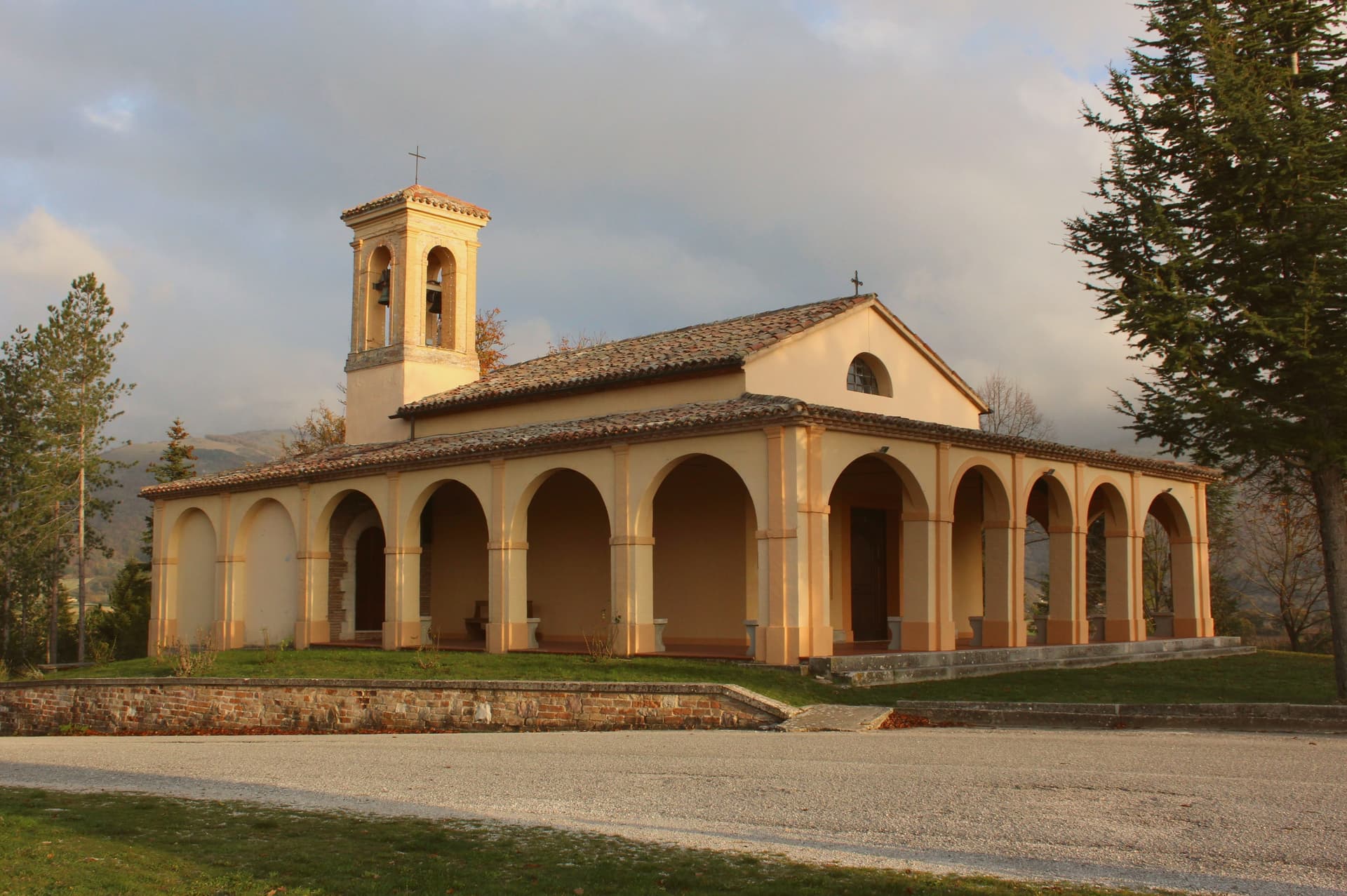
Chiesa di San Benedetto
Thirteenth-century Benedictine abbey outside the walls, fragments of fourteenth and fifteenth-century Eugubine-school frescoes including an early papal portrait.
Chiesa di San Cristoforo
Small chapel within the medieval walls, on the line of the historic main street.
Tracciato della Via Flaminia
Surviving line of the Roman road of 220 BC, with the site of the Hellvillum waystation in the commune's territory.
The slow-trip planner
Building a trip? Find where Fossato di Vico fits in a slow Italy circuit.
Answer five questions. We will shape a geographically coherent slow trip from the 1,000 Italian towns most travelers skip. Yours to save and share.
Through the year
What happens here
Feasts and festivals that come back year after year. We give the month rather than the date, because the date moves and the month rarely does. Check with the source before you plan a journey around one.
Sagra del Cinghialefood festival
usually held in August. TrovaSagre
Living here
- Population 2,639
- In-betweeni
- Pharmacy in town
- High school within a 30-minute drive
- Train station in the comune
- Nearest airport Ancona / Pescara, 1 h 2 min drive
- Regional capital Perugia, 45 min drive
Common questions
- What is Fossato di Vico known for?
- Fossato di Vico is a medieval village on Mount Mutali at 581 meters, where the Via Flaminia's Roman waystation Hellvillum became a tenth-century castle still threaded by covered alleyways.
- Where is Fossato di Vico?
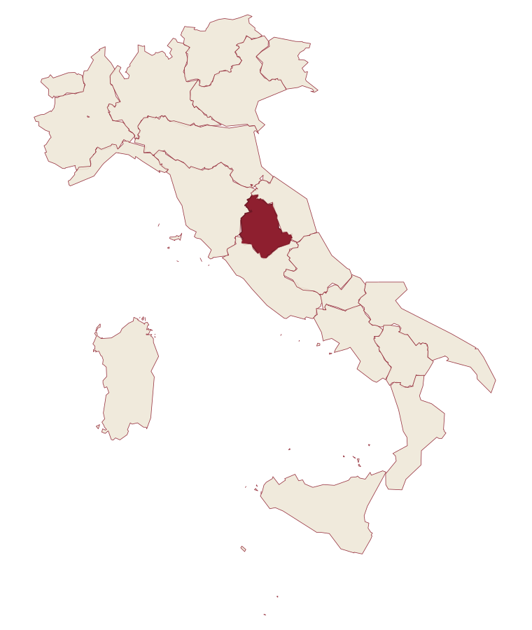
- Fossato di Vico is a comune in the province of Perugia, in Umbria.
- What is the nearest airport to Fossato di Vico?
- Ancona / Pescara (AOI), about 1 hour by car.
- Can you get to Fossato di Vico without a car?
- Yes. There is a railway station in the comune, so you can arrive by train.
- How long is the drive from Perugia to Fossato di Vico?
- About 45 minutes by car.
- When is the best time to visit Fossato di Vico?
- Best in Apr–Oct. July is the warmest month, averaging 29 degrees, and May the wettest, with about 14 rain days.
- Is there a sagra or a festival in Fossato di Vico?
- Yes. Sagra del Cinghiale. August is when the first of them falls.
- Which other towns are like Fossato di Vico?
- Genga, Campo Ligure and Murlo.
- How many people live in Fossato di Vico?
- 2,639 at the 2023 count.
Tags & datadesignations · numbers · sources
Recognised as
The numbers
- Elevation: 581 m
- Population: 2,639
- Surface area: 35.39 km²
These figures were compiled from public directories: ISTAT, OpenStreetMap and Wikidata, and from the official listings of the guides named on this page. Town details change; verify with official sources before you travel.
Similar
Towns like Fossato di Vico
Genga
Province: Ancona
both inland, away from the coast · both under 3,000 people
Campo Ligure
Province: Genova
both inland, away from the coast · both under 3,000 people
Murlo
Province: Siena
both inland, away from the coast · both under 3,000 people
Cocconato
Province: Asti
both inland, away from the coast · both under 3,000 people
Campello sul Clitunno
Province: Perugia
both inland, away from the coast · both under 3,000 people
Serra San Quirico
Province: Ancona
both inland, away from the coast · both under 3,000 people
💎 Borghi Autentici
More Borghi Autentici towns
Archi
Province: Chieti
A 492-meter rocky spur called the Terrazza sul Sangro, fief of del Balzo, Cantelmo, Colonna and Carafa, now Città del Tartufo and Città dell'Olio.
Balsorano
Province: L'Aquila
A pentagonal fortress above the Liri river that became a backdrop for 1970s Italian horror cinema.
Barrea
Province: L'Aquila
A 1,066-meter spur above an artificial lake at the heart of the Abruzzo National Park, with a Samnite necropolis and an 11th-century di Sangro castle.
Calascio
Province: L'Aquila
A village of 125 people under the highest castle in the Apennines, cast as the monk's refuge in Ladyhawke.
Campo di Giove
Province: L'Aquila
At 1,064 meters under the southwestern Maiella, the highest village in the park, named for a Roman temple to Jupiter.