
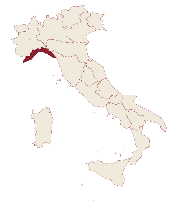
Liguria · Imperia
Cipressa
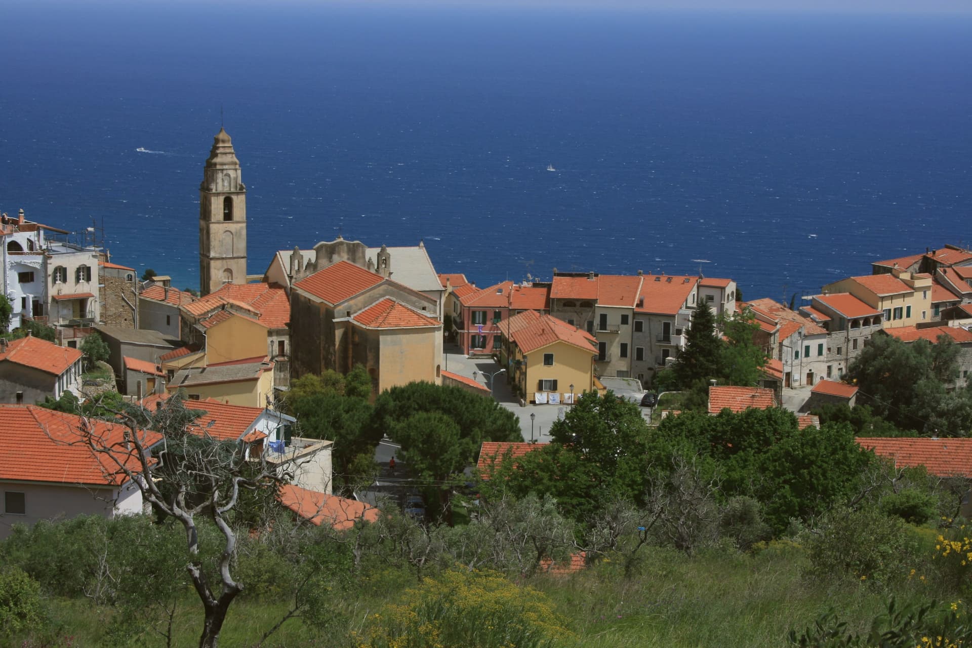
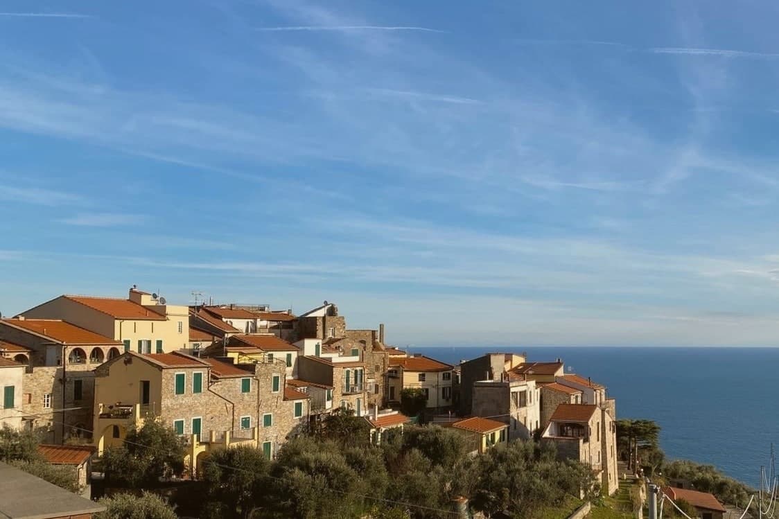
A ridgeline village above the Riviera dei Fiori, the climb that decides the final selection of a famous cycling race and a sixteenth-century Saracen-defence tower as its summit.
- Best time
- Apr–Oct
- By car
- 1 h 46 min from Genoa
- Population
- 1,201
Known for
MILANO-SAN REMO
The Cipressa climb has decided the final selection of Milano-San Remo since it was added to the route in 1982, 5.6 km at four percent.
TORRE GALLINARA
Sixteenth-century Saracen-defence watchtower on the ridge, signal point in the chain of coastal towers from Ventimiglia to Genova.
LINGUEGLIETTA
Frazione with an eleventh-century church-fortress on the hill west of the centro storico, also listed among the Borghi più belli d'Italia.
When to visit
Best · Apr–Oct
- J11°
- F13°
- M14°
- A17°
- M21°
- J25°
- J28°
- A29°
- S25°
- O20°
- N16°
- D12°
- Best
- Hot or crowded
- Quiet
- Mostly closed
Daytime averages, 2020–2024. The sea is warmest in August at 27° and coldest in February at 14°. Weather data by Open-Meteo.com.
Why come
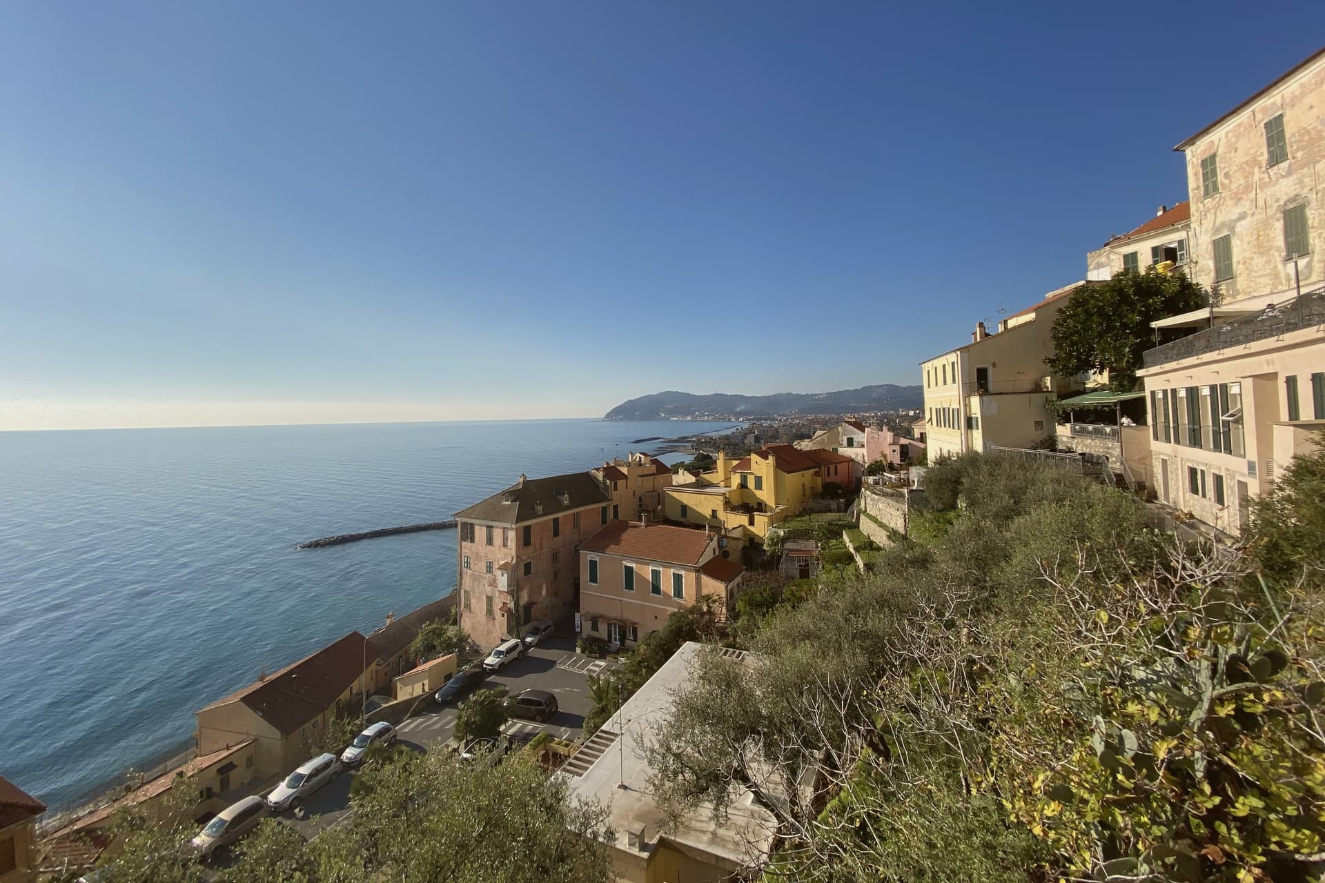
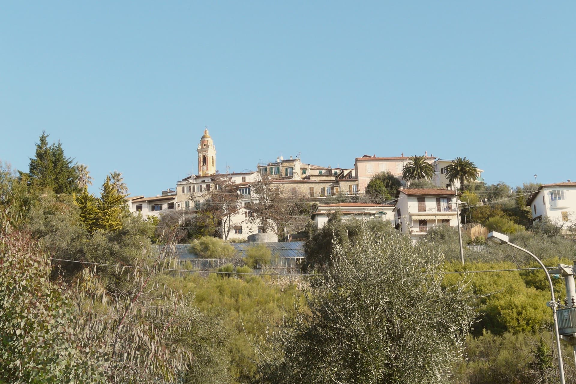
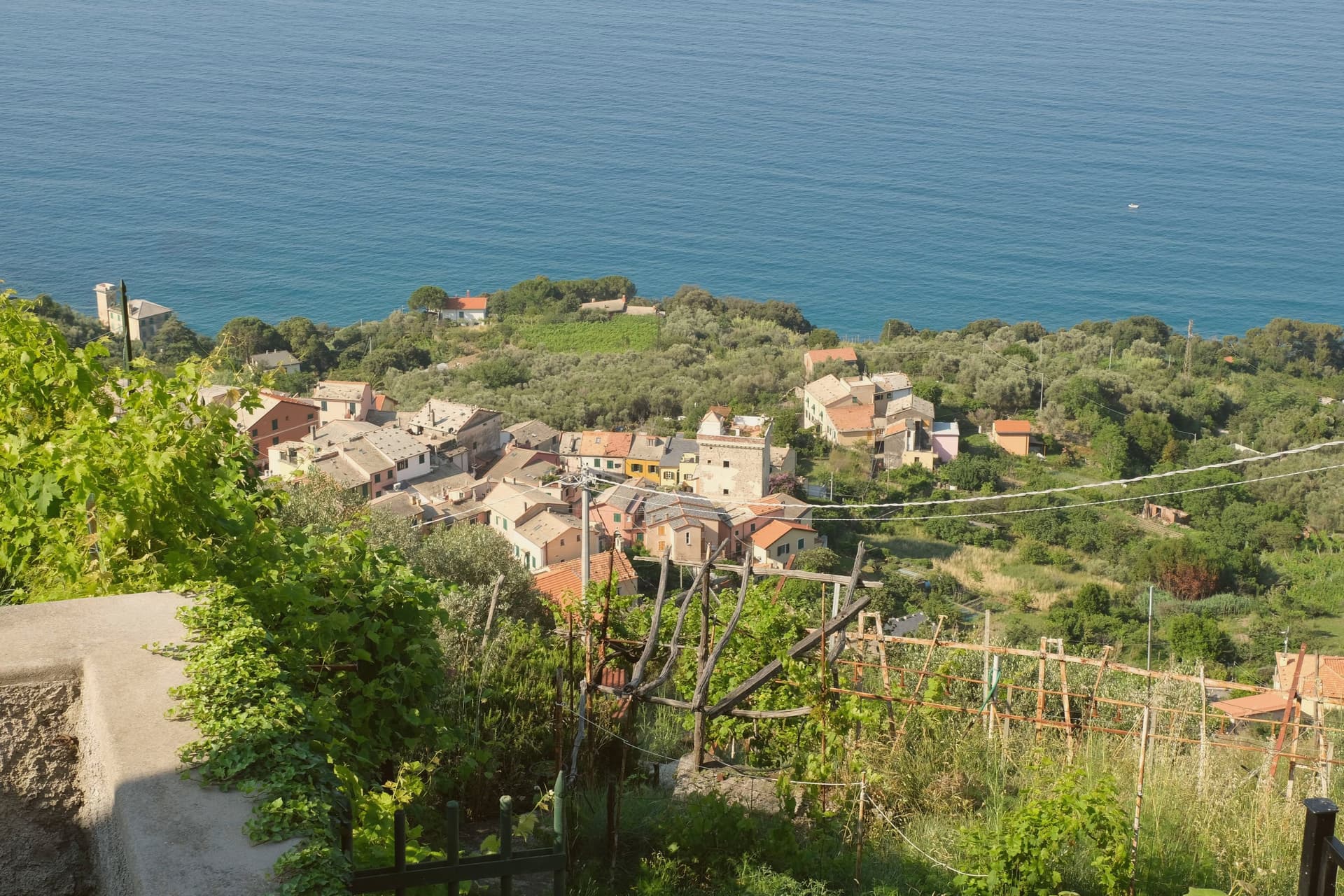
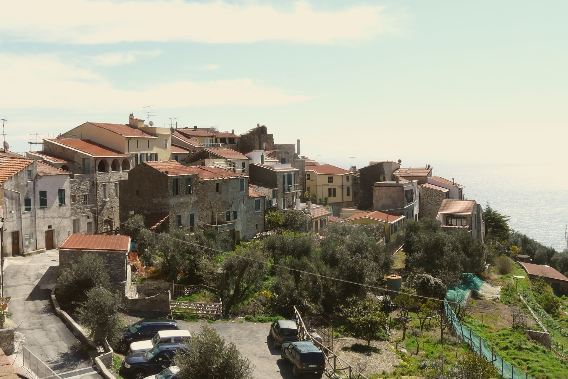
Cipressa sits on a ridge above the Ligurian Sea, ten kilometers west of Imperia. The ridge runs inland from the coast road, and the village occupies its high point, with the frazione of Lingueglietta set further west on the same line of hills, its medieval street plan still intact and separate in character from the centro storico below. Above the village, a tower built against Saracen raids stands as one signal point in a chain that once ran the length of the coast from Ventimiglia to Genova, the raids themselves having shaped settlement patterns here through the late Middle Ages: villages set back and up from the shore, watch points on the high ground.
In Lingueglietta the same pressure produced a church converted into a fortified shelter, merlons added to its roofline when the danger from the sea increased. Below the ridge, the valley is olive country, Taggiasca terraces dropping from the high ground to the coast road. The result is a village whose defensive geography, built to keep distance from the water, now sits directly above a road cut for the opposite purpose: getting from the water to the ridge as fast as possible.
The Sunday letter
Cipressa is on our list. Its letter is still to come.
We are writing about all 1,000 of these towns, one at a time, in a free letter every Sunday: the photo, the food, the festa. That is our mission. Sign up and you will be there when Cipressa comes up. By Peter & Sophia, from Pietrasanta.
Read on
Cipressa in our articles
 The best coastal towns in the province of Imperia6 towns, Cipressa among them.
 The prettiest small villages in the province of Imperia9 towns, Cipressa among them.
 The prettiest small villages that eat well in Liguria10 towns, Cipressa among them.
 Alternatives to the Cinque Terre: the rest of the Ligurian coast, town by town35 towns, Cipressa among them.
How to get there
From Genoa (GOA), about 1h 41m by car.
Turin (TRN) is about 3 hours away.
By car from the centre of Milan 3 hours.
What to see
Torre Gallinara
Cylindrical form on the ridge above the village, a viewpoint across the Riviera dei Fiori from the walkway that circles its base.
Chiesa Fortezza di San Pietro
Proto-Romanesque church in Lingueglietta, its roofline still carrying the merlons added when pirate raids intensified along the coast.
Lingueglietta
Frazione on the western ridge with intact medieval streets, reached by the road that climbs away from the centro storico.
Chiesa di San Lorenzo
Parish church at the top of the village, its bell tower the visual marker riders and spectators look for at the finish of the climb.
Salita della Cipressa
The road rises from the shoreline through olive terraces before the gradient steepens toward the village, a climb ridden rather than only watched.
The slow-trip planner
Building a trip? Find where Cipressa fits in a slow Italy circuit.
Answer five questions. We will shape a geographically coherent slow trip from the 1,000 Italian towns most travelers skip. Yours to save and share.
We recommend
Where to eat
Not our picks, but places the guides put their name to: a Michelin star, a Gambero Rosso fork, a Slow Food snail, a Michelin Key for the hotels. Worth a table, a counter, or a night when you pass through.
Ristorante Da U TittiRistorante
Ristorante Da U Titti carries one Gambero Rosso fork (79/100).
Living here
- Population 1,201
- Commuter belti
- Pharmacy in town
- High school within a 30-minute drive
- Nearest airport Genoa, 1 h 41 min drive
- Regional capital Genova, 1 h 46 min drive
Common questions
- What is Cipressa known for?
- Cipressa is a ridgeline village at 232 meters above the Riviera dei Fiori, the climb that decides the final selection of a famous cycling race and a sixteenth-century Saracen-defence tower as its summit.
- Where is Cipressa?
- Cipressa is a comune in the province of Imperia, in Liguria.
- What is the nearest airport to Cipressa?
- Genoa (GOA), about 1h 41m by car.
- How long is the drive from Milan to Cipressa?
- About 3 hours by car.
- When is the best time to visit Cipressa?
- Best in Apr–Oct. August is the warmest month, averaging 29 degrees, and June the wettest, with about 10 rain days.
- Which other towns are like Cipressa?
- Cervo, Deiva Marina and Laigueglia.
- How many people live in Cipressa?
- 1,201 at the 2023 count.
Tags & datadesignations · numbers · sources
Recognised as
The numbers
- Elevation: 232 m
- Population: 1,201
- Surface area: 9.39 km²
These figures were compiled from public directories: ISTAT, OpenStreetMap and Wikidata, and from the official listings of the guides named on this page. Town details change; verify with official sources before you travel.
Similar
Towns like Cipressa
Cervo
Province: Imperia
both on the Ligurian coast · both under 3,000 people
Deiva Marina
Province: La Spezia
both on the Ligurian coast · both under 3,000 people
Laigueglia
Province: Savona
both on the Ligurian coast · both under 3,000 people
Borgio Verezzi
Province: Savona
both on the Ligurian coast · both under 3,000 people
Fiumefreddo Bruzio
Province: Cosenza
both under 3,000 people · both hill towns
Torno
Province: Como
both under 3,000 people · both hill towns
🎨 Borghi più belli d'Italia
More Borghi più belli d'Italia towns in Liguria
Ameglia
Province: La Spezia
A hilltop borgo at 89 meters above the mouth of the Magra, the Lunigiana edge of Liguria where the river meets the Gulf of Poets.
Apricale
Province: Imperia
A medieval hill village in the Nervia Valley, named for the Latin apricus, sunny, with a tenth-century castle shaped like a lizard on the rock.
Badalucco
Province: Imperia
A medieval village wrapped in a bend of the Argentina torrent, with murals on its caruggi and a Slow Food bean on its terraces.
Borgio Verezzi
Province: Savona
Two villages joined under one comune in 1933: Borgio on the coast below, Verezzi on the pink-stone hill above.
Brugnato
Province: La Spezia
The medieval ecclesiastical capital of an inland Ligurian valley, seat of a diocese from 1133 to 1820, with a co-cathedral built over a Columban monastery.