
Calabria · Catanzaro
Cicala
A village of 887 people at 829 meters, founded in 1616 by farmers asking for land.
- Best time
- May–Oct
- By car
- 3 h 51 min from Salerno
- Population
- 887
Known for
FOUNDED 1616
The village took its name from Count Cigala, who in 1616 granted land at Trempa di Castagna to local farmers.
DEMENZE
Recognized as a Borgo Amico delle Demenze for the 2018 opening of the Centro Diurno Antonio Doria, an Alzheimer's and Parkinson's day center.
SILA PICCOLA
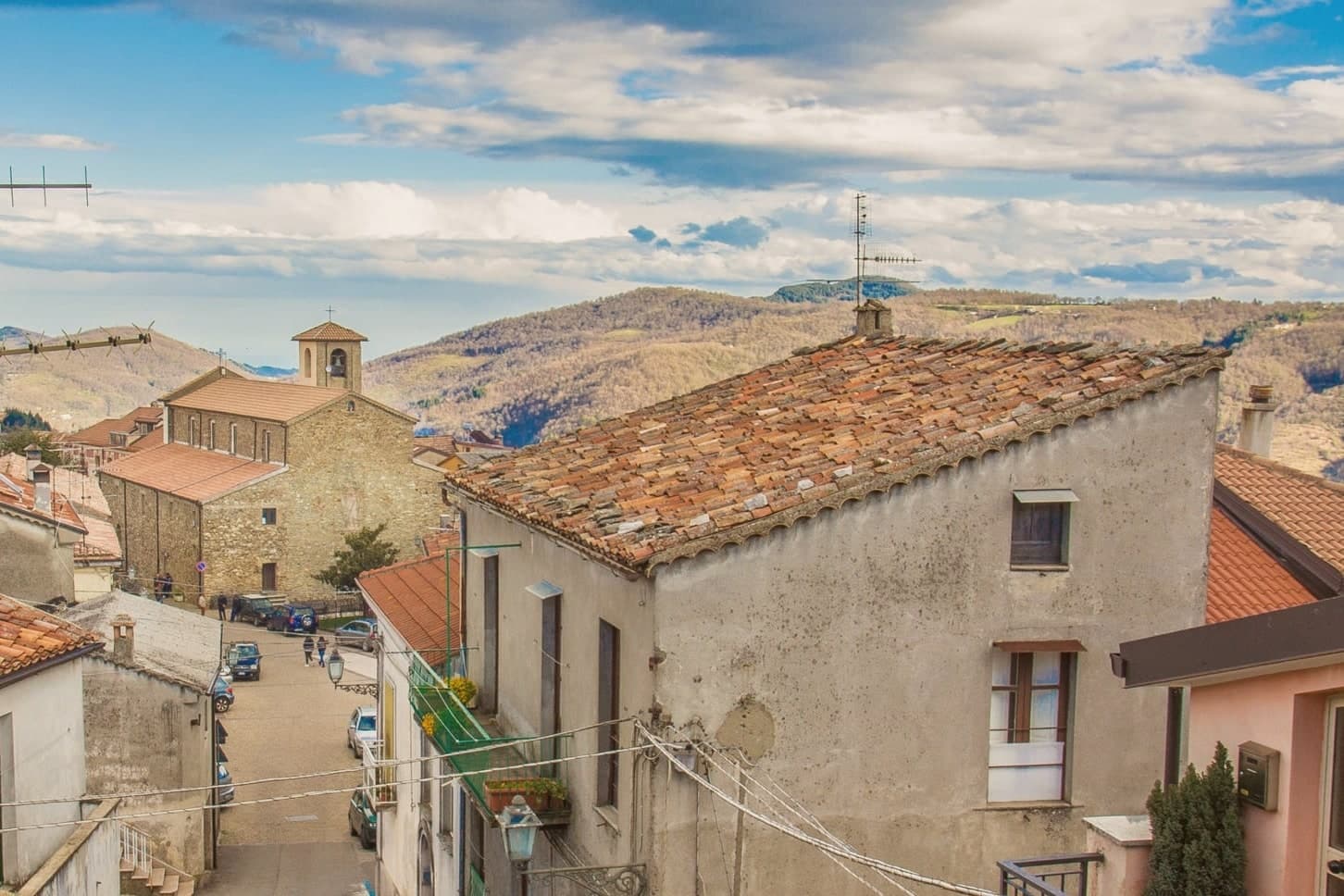
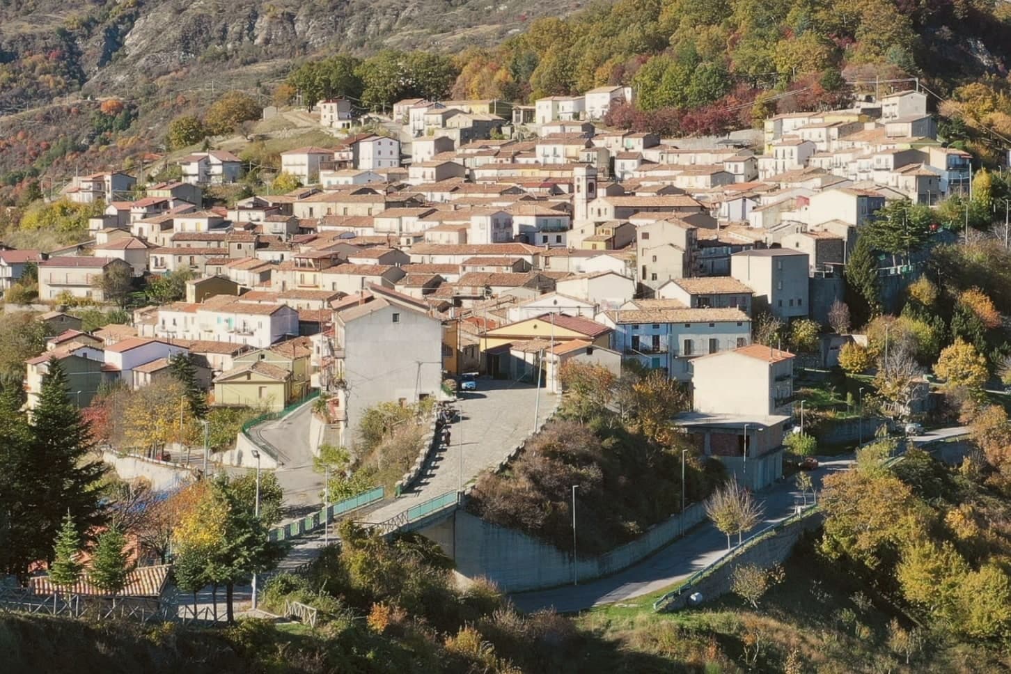
At 829 meters on the western foothills of the Sila Piccola, with the Reventino range rising directly behind the village.
When to visit
Best · May–Oct
- J9°
- F11°
- M11°
- A14°
- M19°
- J24°
- J28°
- A27°
- S23°
- O19°
- N14°
- D11°
- Best
- Hot or crowded
- Quiet
- Mostly closed
Daytime averages, 2020–2024. Weather data by Open-Meteo.com.
Why come
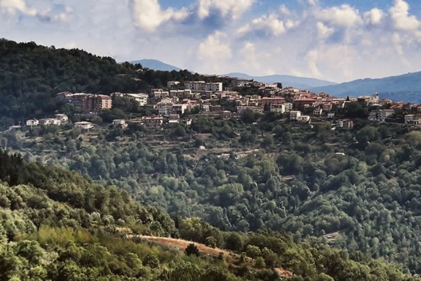
Cicala sits in the Reventino mountain community, in the northern Catanzaro province, on foothills closer in feel to the Sila than to the Catanzaro coast thirty kilometers south. Neolithic finds in the surrounding territory predate the modern village by thousands of years, but the settlement as it stands today dates to when the men of the locality of Trempa di Castagna asked the count for permission to start a hamlet. The new village took his surname, slightly altered, first Cigala and then Cicala.
The commune divides by function more than by geography: the centro storico holds the stone houses and the parish church at its highest point, while the woods on the eastern side supply the chestnuts and grazing that still shape the small economy of agriculture and livestock. The village is part of Borghi Autentici d'Italia. A place whose name records a land grant, whose economy still runs on the woods that grant opened up, and whose recent recognition for dementia care marks one of the few modern additions to an otherwise old and unchanged pattern of life.
The Sunday letter
Cicala is on our list. Its letter is still to come.
We are writing about all 1,000 of these towns, one at a time, in a free letter every Sunday: the photo, the food, the festa. That is our mission. Sign up and you will be there when Cicala comes up. By Peter & Sophia, from Pietrasanta.
Read on
Cicala in our articles
 The best high-altitude villages in Calabria8 towns, Cicala among them.
 10 Aspromonte hill towns near Reggio Calabria10 towns, Cicala among them.
 The 10 best hidden mountain towns in Calabria10 towns, Cicala among them.
 The best small mountain towns in Italy above 500 metres, all of them213 towns, Cicala among them.
How to get there
From Lamezia / Reggio (SUF), about 50 minutes by car.
Naples / Salerno (NAP) is about 4h 36m away.
By car from the centre of Salerno 3h 51m, Bari 4h 33m or Naples 4h 36m.
What to see
Centro storico
Small mountain borgo of stone houses and stepped alleys, largely preserved in its original grid.
Chiesa parrocchiale
Parish church of the village, at the highest point of the centro storico.
Monte Reventino
Mountain rising to 1,417 meters behind the village, the high point of the Reventino range that separates Cicala from the Tyrrhenian.
Sila Piccola foothills
Chestnut and beech woods on the eastern side of the commune, the agricultural and gathering territory of Cicala's residents.
The slow-trip planner
Building a trip? Find where Cicala fits in a slow Italy circuit.
Answer five questions. We will shape a geographically coherent slow trip from the 1,000 Italian towns most travelers skip. Yours to save and share.
Living here
- Population 887
- Remotei
- Pharmacy in town
- High school within a 30-minute drive
- Nearest airport Lamezia / Reggio, 50 min drive
- Regional capital Catanzaro, 36 min drive
Common questions
- What is Cicala known for?
- Cicala is a village of 887 people at 829 meters, founded in 1616 by farmers asking for land.
- Where is Cicala?
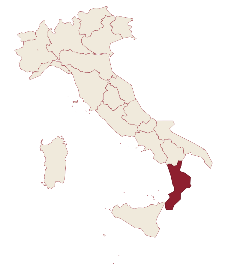
- Cicala is a comune in the province of Catanzaro, in Calabria.
- What is the nearest airport to Cicala?
- Lamezia / Reggio (SUF), about 50 minutes by car.
- How long is the drive from Salerno to Cicala?
- About 3h 51m by car.
- When is the best time to visit Cicala?
- Best in May–Oct. July is the warmest month, averaging 28 degrees, and November the wettest, with about 13 rain days.
- Which other towns are like Cicala?
- Pieve Tesino, Faeto and Monteverde.
- How many people live in Cicala?
- 887 at the 2023 count.
Tags & datadesignations · numbers · sources
Recognised as
The numbers
- Elevation: 829 m
- Population: 887
- Surface area: 9.28 km²
These figures were compiled from public directories: ISTAT, OpenStreetMap and Wikidata, and from the official listings of the guides named on this page. Town details change; verify with official sources before you travel.
Featured on
Cicala appears on this themed pick from our Collections:
Similar
Towns like Cicala
Pieve Tesino
Province: Trento
both mountain-valley towns · both under 1,000 people
Faeto
Province: Foggia
both mountain-valley towns · both under 1,000 people
Monteverde
Province: Avellino
both mountain-valley towns · both under 1,000 people
Roseto Valfortore
Province: Foggia
both mountain-valley towns · both under 1,000 people
Visso
Province: Macerata
both mountain-valley towns · both under 1,000 people
Letino
Province: Caserta
both mountain-valley towns · both under 1,000 people
💎 Borghi Autentici
More Borghi Autentici towns in Calabria
Albidona
Province: Cosenza
A hill village at 810 meters between the Pollino and the Ionian, identified by ancient writers as Leutarnia, the city founded by Calchas after Troy.
Alessandria del Carretto
Province: Cosenza
The highest village in the Pollino at 1,043 meters, the only Italian commune carrying its founder's full name, with a fir-tree ritual every 3 May.
Cirò
Province: Crotone
A hill village at 351 meters above the Ionian, the historic heart of Calabria's oldest wine appellation.
Gizzeria
Province: Catanzaro
An Arbëreshë hill village at 600 meters above the Gulf of Sant'Eufemia, with kitesurf beaches and brackish lagoons on the Tyrrhenian below.
Laino Borgo
Province: Cosenza
A village on the Lao river canyon, at the western entrance to Pollino National Park, known as Calabria's rafting capital.