
The 10 best hidden mountain towns in Calabria
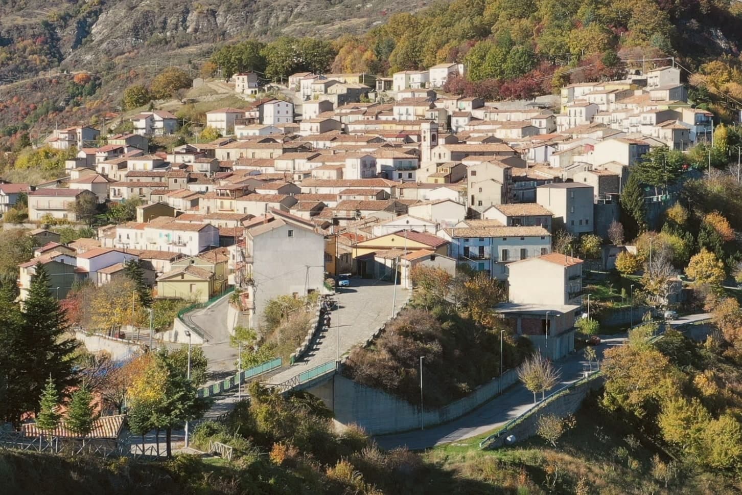
Calabria is a mountain region that happens to have coasts. Behind the beaches the land climbs fast into the Pollino, the Sila and the Aspromonte, where beech and silver fir close over the road and snow sits on the ridges into spring. The villages up here are built of local stone and roofed in terracotta, stacked along contour lines with a church at the top and a fountain at the bottom. Autumn is the season the interior makes sense: chestnuts roasting, porcini in the woods, soppressata and capocollo hanging in cellars, caciocavallo silano and pecorino crotonese on the table, and chilli in almost everything.
Most people who come to Calabria stay at sea level, and most of those head for Tropea, where the cliff, the sand and the Santa Maria dell'Isola postcard concentrate the whole region's summer traffic onto a few streets. The car parks fill by mid-morning in August and the granita queues run long. It is a fine place and it is also the single most photographed point in Calabria, which is why it feels like the whole coast has been funnelled into it.
The mountains are the other Calabria, and they are barely an hour inland. The same forests, the same shepherding traditions and the same cooking continue up through the Pollino massif and across the Sila plateau, into towns where an Arbëreshë or Greek-speaking dialect is still spoken in the piazza. Fewer people go, buses are infrequent, and the reward is a cooler summer and a longer meal.
Of the 45 communes we have mapped in Calabria, 11 qualify as mountain towns: each sits in the mountains. This list is the hidden ones, 10 in all, ordered smallest first. The smallest, Alessandria del Carretto, has 357 residents.
If you are still choosing, we have also written The best high-altitude villages in Calabria and The best mountain towns in the province of Cosenza.
Alessandria del Carretto
Why visit Alessandria del Carretto
Alessandria del Carretto is the highest inhabited village in the Pollino National Park, perched at 1,043 meters in the eastern range of Italy's largest protected area. It is the only commune in Italy that bears the full name and surname of its founder, the marchese Alessandro Pignone del Carretto, who established it in 1639.
Population today is around 357, declining for decades, with traditions kept alive against depopulation. The signature is the Festa della Pita, on 3 May for the feast of Saint Alexander, one of the oldest nature-rebirth rituals in the Mediterranean: in mid-April the community cuts a twenty-meter fir tree in the Pollino woods, on the last Sunday of April carries it by hand to the village to accordion and bagpipe, then on 3 May runs the climb of the fir for the gifts tied to its top.
The historical carnival, with masks of the beautiful and ugly Polëcënellë, marks the other end of the ritual year.
The village sits at 1043 metres.
What to see in Alessandria del Carretto
- Centro storico di Alessandria del Carretto. Stone village at 1,043 meters in the Pollino, founded in 1639 by Alessandro Pignone del Carretto, the only Italian commune named for its founder.
- Pollino National Park. Highest village in Italy's largest national park, surrounded by Bosnian pine forest and the slopes that climb toward Serra del Prete.
- Chiesa di Sant'Alessandro Papa. Mother church of the village, dedicated to the patron saint whose feast on 3 May coincides with the climax of the Festa della Pita.
How to get to Alessandria del Carretto
Taranto is roughly 142 minutes away by road.
Our tip
Late June through September are the months the Pollino climbs to Alessandria del Carretto are walkable, the village is open and trail days are long. Winter brings snow above 1,000 meters and the December to March window works for trekking on snowshoes when the Pollino refuges run; access becomes weather-dependent and the road from Trebisacce can close in storms. April and May are wet and cool, though the Festa della Pita on 3 May is the year's largest day and brings several thousand visitors to a village of 357.
Bova
Why visit Bova
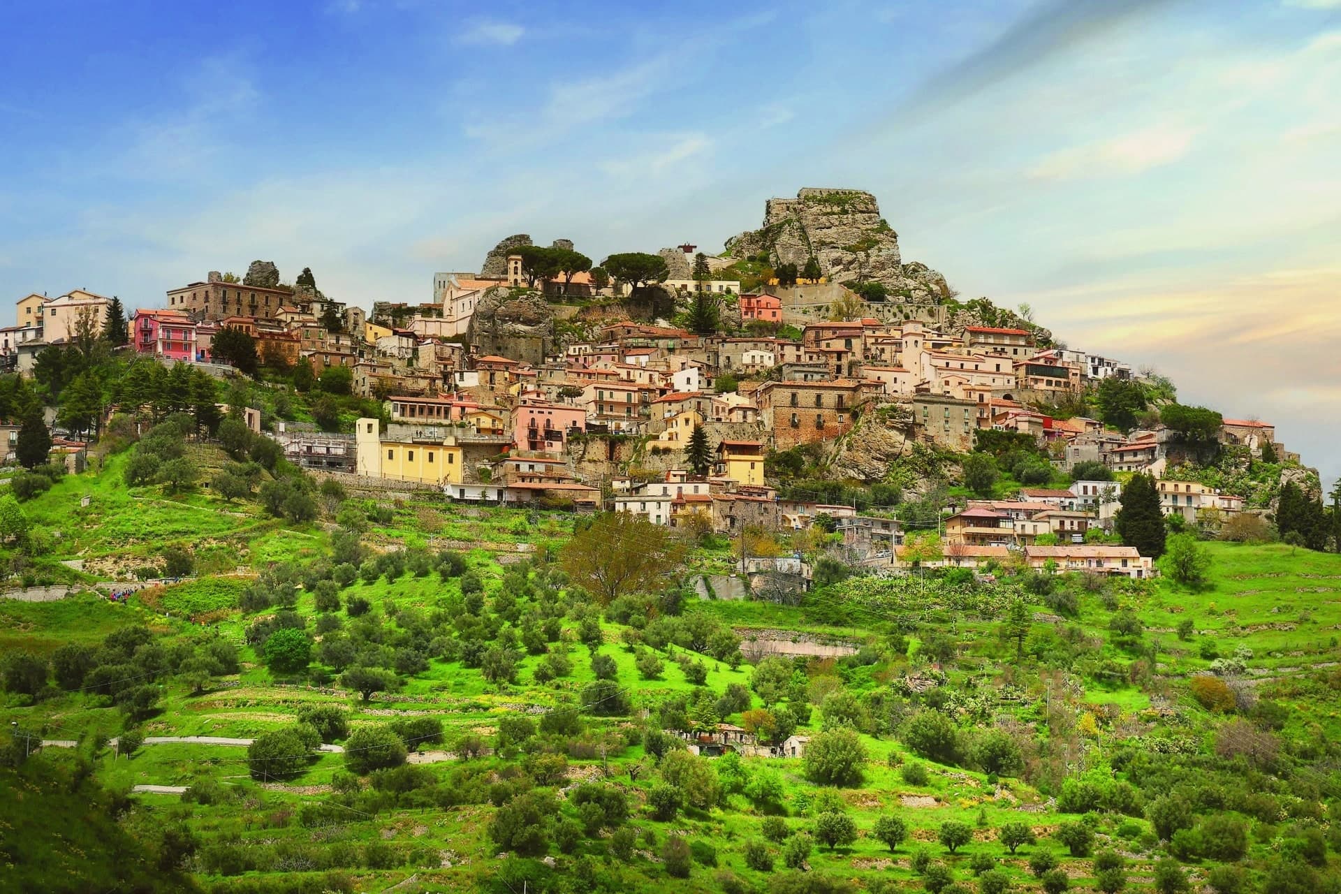
The Bovesìa is a cluster of nine villages, and Bova sits at its centre both geographically and culturally. The Grecanic dialect spoken here traces to one of two origins that scholars still debate: colonisation under Magna Graecia in the 8th century BC, or the Byzantine reconquest under Justinian in the 6th century AD.
Place names across the cluster, Galliciánò, Roccaforte del Greco, Roghudi, preserve the same Greek substrate, which makes the town less an isolated relic than the administrative and symbolic capital of a linguistic zone that once extended across several communities. The museum in the centre documents that language and its speakers, and the August festival that stages Grecanic-language plays and music draws on the same substrate for its material.
The town itself occupies a hilltop at 820m, inland from the coastal strip where the bergamot groves run for 100km along the Reggio shore below. That separation, upper village and lower coast, mirrors the region's older Greek-rite and Latin-rite division, a division visible in the cathedral on the hilltop, built directly over an earlier Byzantine basilica, and in the castle ruins and stone-paved streets around it.
The park that surrounds the village, the southernmost wild mountain area on the Italian mainland, extends that inland orientation upward into pine forest and the range of wolves reintroduced since the 1990s, while the coast below turns toward citrus and the sea. Depopulation has been steep: 1,500 residents in 1951 against 416 today, a decline typical of Aspromonte villages generally.
The food carries the same inland character as the language, pasta with bergamot zest, goat slow-cooked in terracotta, wild boar, the local Cirò DOC red, and bergamot itself turned into oil, liqueurs and jams. What remains is a place where language, altitude and isolation have worked together to keep something alive that the coast below, oriented toward citrus and the sea rather than the mountain, could not have preserved on its own.
The village sits at 820 metres.
What to see in Bova
- Museo della Lingua Greco-Calabra. Documents the dialect and its living use. 2,000-3,000 elderly speakers remain active across the 9-village Bovesìa cluster today.
- Castello Normanno + centro storico. Norman castle ruins on the hilltop summit above an intact medieval centre of stone-paved vicoli. Views reach across the Aspromonte to the Ionian and Tyrrhenian, and to Sicily on clear days.
- Cattedrale di Santa Maria Isodia. A 12th-century Norman cathedral raised directly over an earlier Byzantine basilica, the physical marker of the shift from Greek-rite to Latin-rite Christianity in Calabria.
How to get to Bova
Reggio Calabria is roughly 73 minutes away by road.
Our tip
Bova is mountain-seasonal — May through September is the sweet spot, with the Festival di Paleariza (August, Grecanic-language theatre + music) as the year's headline event. October is bergamot harvest in the coastal valleys below. Winter is Alpine at 820m with possible heavy snow and most services closed.
Cicala
Why visit Cicala
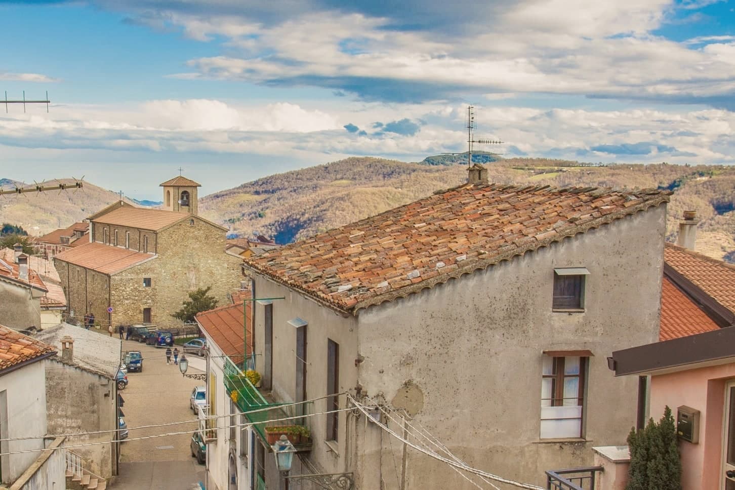
Cicala sits in the Reventino mountain community, in the northern Catanzaro province, on foothills closer in feel to the Sila than to the Catanzaro coast thirty kilometers south. Neolithic finds in the surrounding territory predate the modern village by thousands of years, but the settlement as it stands today dates to when the men of the locality of Trempa di Castagna asked the count for permission to start a hamlet.
The new village took his surname, slightly altered, first Cigala and then Cicala. The commune divides by function more than by geography: the centro storico holds the stone houses and the parish church at its highest point, while the woods on the eastern side supply the chestnuts and grazing that still shape the small economy of agriculture and livestock.
The village is part of Borghi Autentici d'Italia. A place whose name records a land grant, whose economy still runs on the woods that grant opened up, and whose recent recognition for dementia care marks one of the few modern additions to an otherwise old and unchanged pattern of life.
The village sits at 829 metres.
What to see in Cicala
- Centro storico. Small mountain borgo of stone houses and stepped alleys, largely preserved in its original grid.
- Chiesa parrocchiale. Parish church of the village, at the highest point of the centro storico.
- Monte Reventino. Mountain rising to 1,417 meters behind the village, the high point of the Reventino range that separates Cicala from the Tyrrhenian.
How to get to Cicala
Reggio Calabria is roughly 122 minutes away by road.
Our tip
May through October is the working window for Cicala. The 829-meter elevation keeps the village cool through July and August, when nights stay around fifteen degrees and the Sila Piccola woods become the locals' refuge from the Catanzaro coast heat. November through April is quiet, often cold, with snow possible from December to March.
Albidona
Why visit Albidona
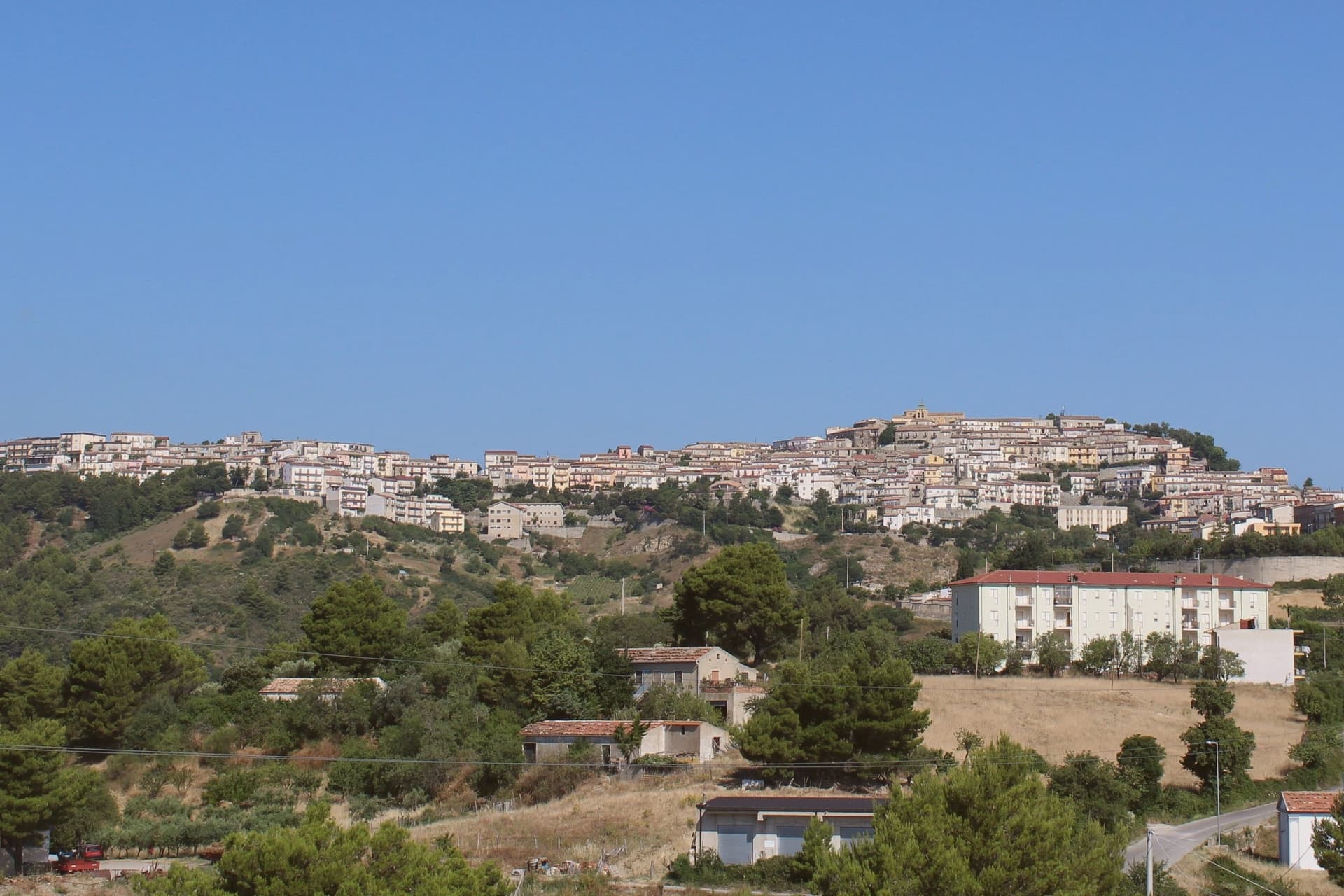
Albidona sits at 810 meters on a ridge between the Pollino mountains and the Ionian coast, eleven kilometers from the sea and eighteen from the high mountain. The ancient writers Lycophron and Strabo identify it with Leutarnia, the Magna Graecia town founded by the seer Calchas on his return from the Trojan War.
Whatever the legend, the first reliable historical record dates from around the year 1000. The territory drops from the village ridge down to the Ionian, where Don Pedro Álvarez de Toledo built a watchtower in the sixteenth century to defend the coastline from Saracen raids; in the 1600s the monks took possession and the structure is still called the Torre dei Monaci.
Five churches anchor the centro storico, including the Chiesa di San Michele Arcangelo at the highest point. The commune is part of Borghi Autentici d'Italia.
The village sits at 810 metres.
What to see in Albidona
- Torre dei Monaci. Sixteenth-century coastal watchtower built by Don Pedro Álvarez de Toledo against Saracen raids, later owned by monks who gave it its current name.
- Chiesa di San Michele Arcangelo. Mother church on the highest point of the village, named for the patron archangel of Albidona.
- Chiesa della Madonna del Cafaro. Sanctuary in the countryside below the village, traditional site of pilgrimage in the surrounding farmland.
How to get to Albidona
There is a railway station in the town, so you can arrive without a car and never need one while you are here. Taranto is roughly 120 minutes away by road.
Our tip
May through October is the working window for Albidona. The 810-meter ridge stays cooler than the coast even in August, and the village fills slightly with returning emigrants and second-home families through the summer feast season. July and August can still push thirty degrees; the morning and evening light, with the sea on one side and the Pollino on the other, is the better time of day.
Caccuri
Why visit Caccuri
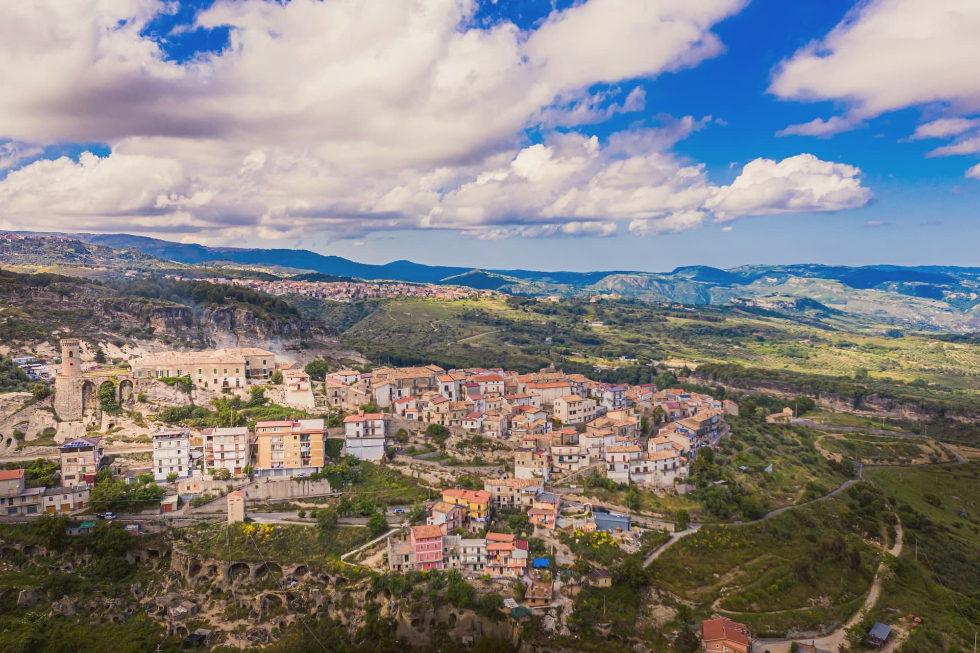
Caccuri sits at 646 meters in the Presila, the eastern foothills of the Sila, on a rocky spur surrounded by olive groves. The Byzantines built the castle in the sixth century as a lookout to control the Neto valley below; the structure has been remodeled many times since, becoming a ducal palace under the Cavalcanti, the Spinelli, and finally the Barracco.
The cylindrical Mastrigli Tower on the ravelin, designed by Roman architect Adolfo Mastrigli and finished in 1882, has become the symbol of the town and appears on its coat of arms. Cicco Simonetta, secretary to Francesco Sforza of Milan and a key Renaissance statesman, was born here in the early fifteenth century.
Every August from the 6th to the 10th the village hosts the Premio Letterario di Caccuri, an Italian essay prize that brings writers and intellectuals to the medieval streets. The sacred Holy Week drama I Giudei is staged roughly every seven years; the last performance was in 2011.
The village sits at 646 metres.
What to see in Caccuri
- Castello di Caccuri. Sixth-century Byzantine fortress remodeled as a ducal palace by the Cavalcanti, Spinelli and Barracco families, on a rocky spur above the village.
- Torre Mastrigli. Cylindrical tower on the castle ravelin, designed by Adolfo Mastrigli and completed in 1882, now the symbol of Caccuri and its coat of arms.
- Centro storico medievale. Network of stone streets and alleys converging toward the castle, preserved largely intact from the medieval layout.
How to get to Caccuri
Reggio Calabria is roughly 189 minutes away by road.
Our tip
May through October is the working window for Caccuri. The 646-meter ridge stays cooler than the Crotone coast even at the peak of summer, and the village comes fully alive during the August Premio Letterario week. July and August can still reach the low thirties, but evenings cool quickly thanks to the Sila breeze.
Mormanno
Why visit Mormanno
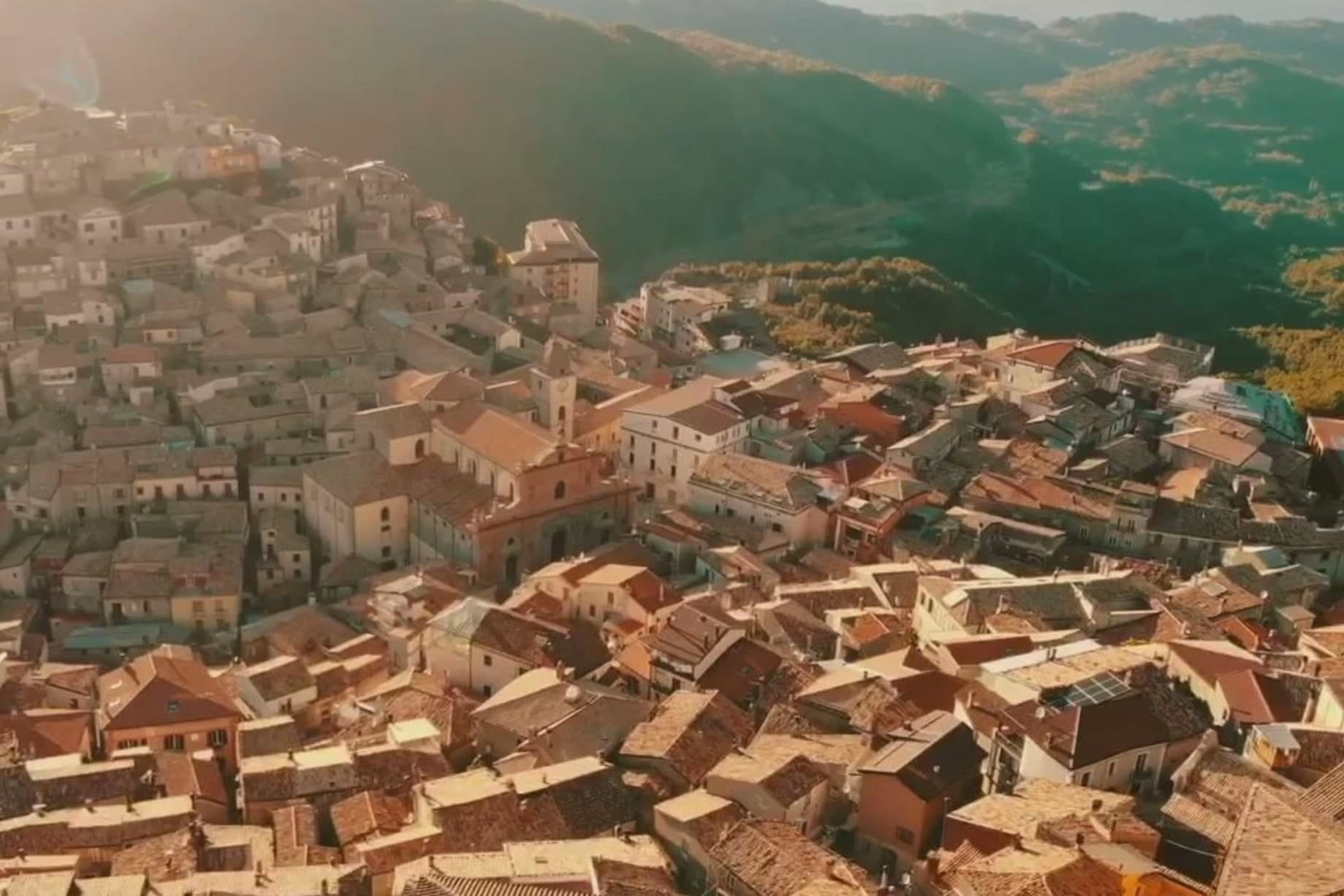
Mormanno sits at 840 meters in Pollino National Park, in the Calabrian half of the massif, between the opposing ridges of Costa and Vernita and within reach of the Lao river valley. The Pellegrino group rises immediately above the town, Monte Palanuda at 1,632 meters and Monte Cerviero at 1,443.
Local historians read its origins back to the Lombard era; the first surviving document, a Greek-language deed of donation, dates to 1092. The Sanseverino of Bisignano held the fief until 1612.
The eighteenth-century Neapolitan-Baroque cathedral sits at the center of a historic plan organized into four quarters: Costa to the west, Capo lo Serro to the east, Casalicchio south, Torretta north. The town is in the Città del Vino network and is known across Calabria for two products: white poverelli beans and lentils grown on the surrounding slopes, and the bocconotto di Mormanno, a single-bite shortcrust pastry filled with mostarda or grape jam.
The village sits at 840 metres.
What to see in Mormanno
- Cattedrale di Santa Maria del Colle. Eighteenth-century Neapolitan-Baroque cathedral on the high point of the borgo, the architectural anchor of the historic plan.
- Centro storico. Historic plan organized into four named quarters, Costa, Capo lo Serro, Casalicchio and Torretta, each named for its position around the cathedral.
- Parco Nazionale del Pollino. Calabrian sector of Italy's largest national park surrounds the town, with the Pellegrino massif rising directly above the houses.
How to get to Mormanno
Salerno is roughly 100 minutes away by road.
Our tip
May through October is the season. At 840 meters, summers stay comfortable while the coast bakes; the Pollino trails around Mormanno are walkable from late spring through autumn. June and September are the easier months, the high meadows in flower or going dry, the bocconotto bakeries open without the August queue.
Serrastretta
Why visit Serrastretta
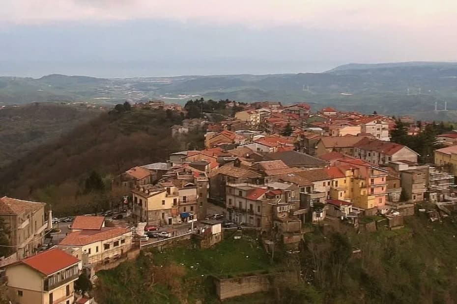
Serrastretta sits at 840 meters in the Reventino massif of the Sila Piccola foothills, forty kilometers south of Cosenza. The town's name comes from the original settlement, built in a narrow gorge between two ridges, the Serre.
Local tradition dates the founding to 1383 and links it to Sephardic Jewish families fleeing the Iberian persecutions of the period, a small community whose presence persisted for centuries in the surrounding frazioni. The economy was, and partly still is, the chair.
Frame in seasoned Reventino beech and oak, seat woven from vuda, a swamp reed worked by hand, the Serrastretta straight-backed chair is sold across Calabria and beyond. Workshops along the Via dei Sediari still produce them.
The town belongs to the Borghi Autentici d'Italia network. Mount Condrò's two-hundred-hectare beech forest, part of the Reventino, begins where the houses end.
The village sits at 840 metres.
What to see in Serrastretta
- Via dei Sediari. The street of chair-makers, where workshops still produce the hand-woven vuda-and-beech chairs that gave the town its trade name.
- Faggeta di Monte Condrò. Two-hundred-hectare beech forest on the Reventino massif, the wood source for the traditional chair frames.
- Centro storico. Hillside borgo arranged along the narrow gorge that gave Serrastretta its name, built from stone quarried locally.
How to get to Serrastretta
Reggio Calabria is roughly 120 minutes away by road.
Our tip
May through October is the window. At 840 meters, summers stay mild while the Calabrian coast bakes; the beech forests of the Reventino hold their cool well into August. Spring is late here, with snow possible into April and the woods slow to leaf out.
Morano Calabro
Why visit Morano Calabro
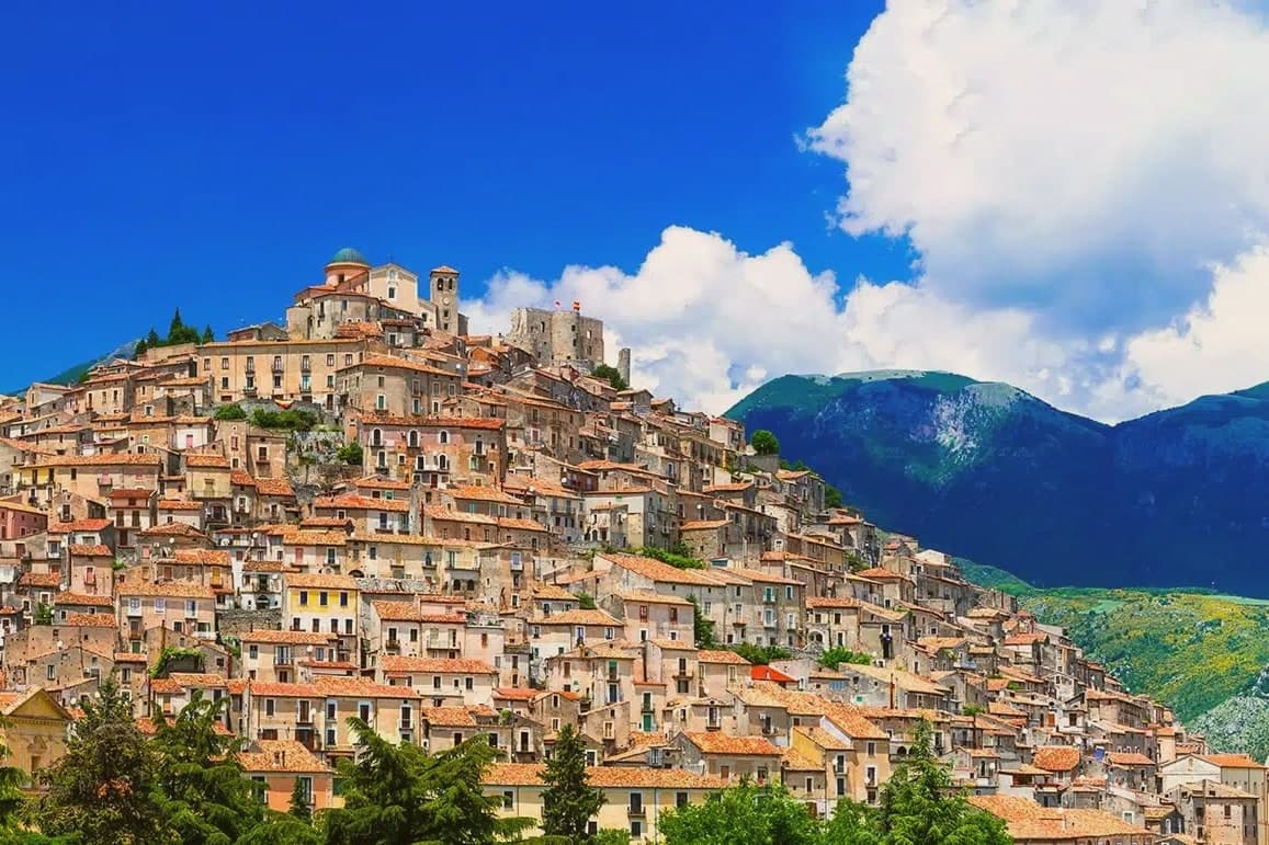
Morano Calabro stands at 694 meters, folded around a conical hill at the edge of the national park. The Roman settlement appears as Muranum on the Lapis Pollae milestone, a station on the Via Popilia that ran between Capua and Reggio, which places the town on a road line far older than the castle above it.
The Battle of Campo Tenese in 1806 cut through these hills when the First French Empire crushed the Bourbon army on the plain east of town, a piece of history the hill itself does not show but the surrounding ground carries. The centro storico climbs from its lower gates up to the summit in the concentric rings the town is known for, with its churches and the monastic complex set into the slope rather than gathered at any single point.
The mountain rises immediately north of the last houses, so the built town and the park meet without any transition between them. What Morano amounts to, then, is a settlement whose Roman road station, medieval hill town, and battlefield history are all still legible in the same short climb from the plain to the summit.
The village sits at 694 metres.
What to see in Morano Calabro
- Castello Normanno-Svevo. The ruins sit on the summit, roofless walls open to the sky, with the rings of houses falling away below in the pattern that gave the town its nickname.
- Collegiata di Santa Maria Maddalena. Founded around 1097, enlarged in the sixteenth century, with a neoclassical façade completed in the nineteenth and a Baroque interior.
- Chiesa di Santi Pietro e Paolo. Archpriest's church near the castle, with foundations dating to around the year 1000, the oldest surviving sacred building in the village.
How to get to Morano Calabro
Salerno is roughly 110 minutes away by road.
Our tip
At 694 meters the climate runs cooler than the Tyrrhenian coast an hour west. May through October is the working season: green slopes, mild evenings, and the high Pollino trails open by late spring. July and August stay manageable into the high twenties, though midday in the centro storico still pushes residents indoors.
Spezzano della Sila
Why visit Spezzano della Sila
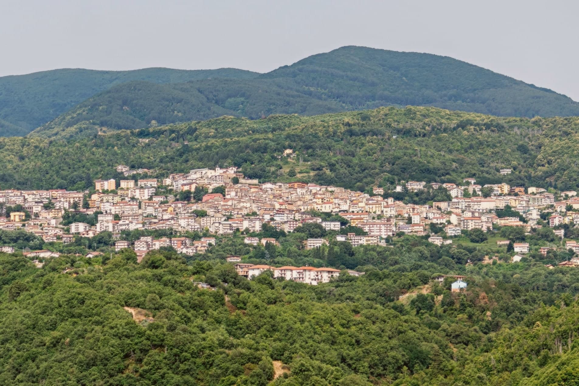
The town sits on the Presila Cosentina, twenty kilometers east of Cosenza and on the western edge of the Sila plateau. The borough likely formed at the end of the tenth century, after the Arab raids on Cosenza pushed settlement inland toward higher ground.
The commune's territory reaches well beyond the historic centre. The mountain hamlets of Croce di Magara and Moccone fall inside its boundary alongside the resort frazione, and with them a share of the national park itself: its visitor centre and wildlife enclosures, its stand of centuries-old pines, and part of the largest lake in Calabria.
Snow closes the high pastures in winter; in summer the same ground turns to hiking, mushroom-gathering and grazing country. The old village below and the high plateau above are administratively one place, even though little of daily life in one resembles the other.
The village sits at 800 metres.
What to see in Spezzano della Sila
- Santuario di San Francesco da Paola. Convent with attached cloister at the head of the historic centre, the building around which the old town still gathers.
- Chiesa di San Pietro. Parish church in the old village, the main religious anchor of the Spezzano centro storico.
- Chiesa di San Biagio. Smaller historic church dedicated to the town's patron, part of the network of religious buildings inside the borgo.
How to get to Spezzano della Sila
There is a railway station in the town, so you can arrive without a car and never need one while you are here. Reggio Calabria is roughly 170 minutes away by road.
Our tip
May through October is the long Sila season: the lifts on Monte Curcio stop, the plateau opens up to hikers, and Lake Cecita fills with anglers and picnickers. July and August are the busiest months because the cool air pulls Cosenza and Catanzaro residents up the hill to escape the coast. September and October bring porcini and chestnuts. Sagra della Cucuzza falls in July.
Gizzeria
Why visit Gizzeria
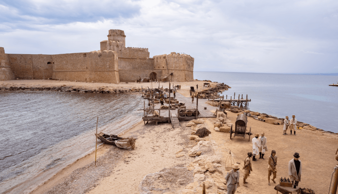
Gizzeria sits on the Micatundo hill at 600 meters, above the Gulf of Sant'Eufemia in the northern Catanzaro province. The village, known in Arbëreshë Albanian as Jacarise, was founded between 1448 and 1450 by Albanian troops led by Demetrio Reres, sent by Skanderbeg to help the Kingdom of Naples retake Calabria; they were granted land here and stayed.
The Arbëreshë linguistic minority is protected by Italian law 482 of 1999, and is still spoken in some households. The commune drops from the hill village down to a coastal frazione called Gizzeria Lido, where Lago La Vota, a brackish lagoon system of about 235 hectares, separates the beach from the agricultural plain.
The thermal winds across the Tyrrhenian have made Gizzeria Lido the most famous kitesurf spot in Calabria; the European championships have been held here. The upper village holds the church, the older houses and the Arbëreshë memory; the lower frazione holds the beach economy.
The village sits at 600 metres.
What to see in Gizzeria
- Lago La Vota. Brackish lagoon system of about 235 hectares along the coast between Gizzeria Lido and Falerna, protected as a regional natural reserve project area.
- Gizzeria Lido. Long sandy and pebbly beach with steady thermal winds, the most famous kitesurf spot in Calabria, host to European championships.
- Centro storico (Jacari). The upper Arbëreshë village at 600 meters, with the Albanian linguistic heritage of the Reres foundation still partly alive.
How to get to Gizzeria
There is a railway station in the town, so you can arrive without a car and never need one while you are here. Reggio Calabria is roughly 105 minutes away by road.
Our tip
May through October is the season for both halves of Gizzeria. The kitesurf winds on the Lido pick up reliably from June through mid-September, with thermal breezes of eleven to twenty-five knots, and the European championship calendar peaks in late summer. July and August are hot on the coast, often above thirty-three degrees, but the upper village at 600 meters stays cooler, with evening breezes from the Reventino behind. Sagra Patati, Pipi e Mulingiani! falls in August.
More from Anywhere Italy
- The best high-altitude villages in Calabria
- The best mountain towns in the province of Cosenza
- The best hidden towns inside a national park in the province of Cosenza
 The best hidden towns that eat well in Calabria
- The best hidden towns you can reach by train in the province of Cosenza
- The best small towns you can reach by train in Calabria