
Piedmont · Cuneo
Chiusa di Pesio
The valley mouth town at 575 meters where the Pesio leaves the mountains, founded around a Carthusian monastery donated in 1173.
- Best time
- Apr–Oct
- By car
- 1 h 39 min from Turin
- Population
- 3,586
Known for
CERTOSA DI PESIO
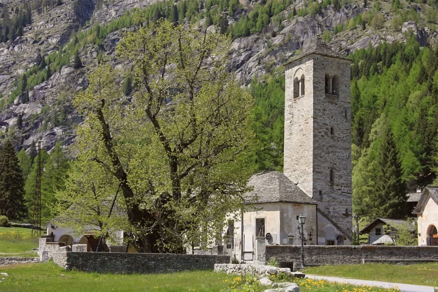
Carthusian monastery founded 1173 after the Morozzo donation, still standing at the foot of Monte Mindino.
THE WOLF PACK
First stable wolf pack documented in the Italian Alps settled in Valle Pesio in the mid-1990s.
CHESTNUTS
Member of Città del Castagno, harvested from the lower-valley woods the Carthusians once managed for the order.
When to visit
Best · Apr–Oct
- J8°
- F11°
- M12°
- A15°
- M19°
- J24°
- J27°
- A27°
- S22°
- O17°
- N12°
- D9°
- Best
- Hot or crowded
- Quiet
- Mostly closed
Daytime averages, 2020–2024. Weather data by Open-Meteo.com.
The festa: Antonino di Apamea, 28 August
Why come
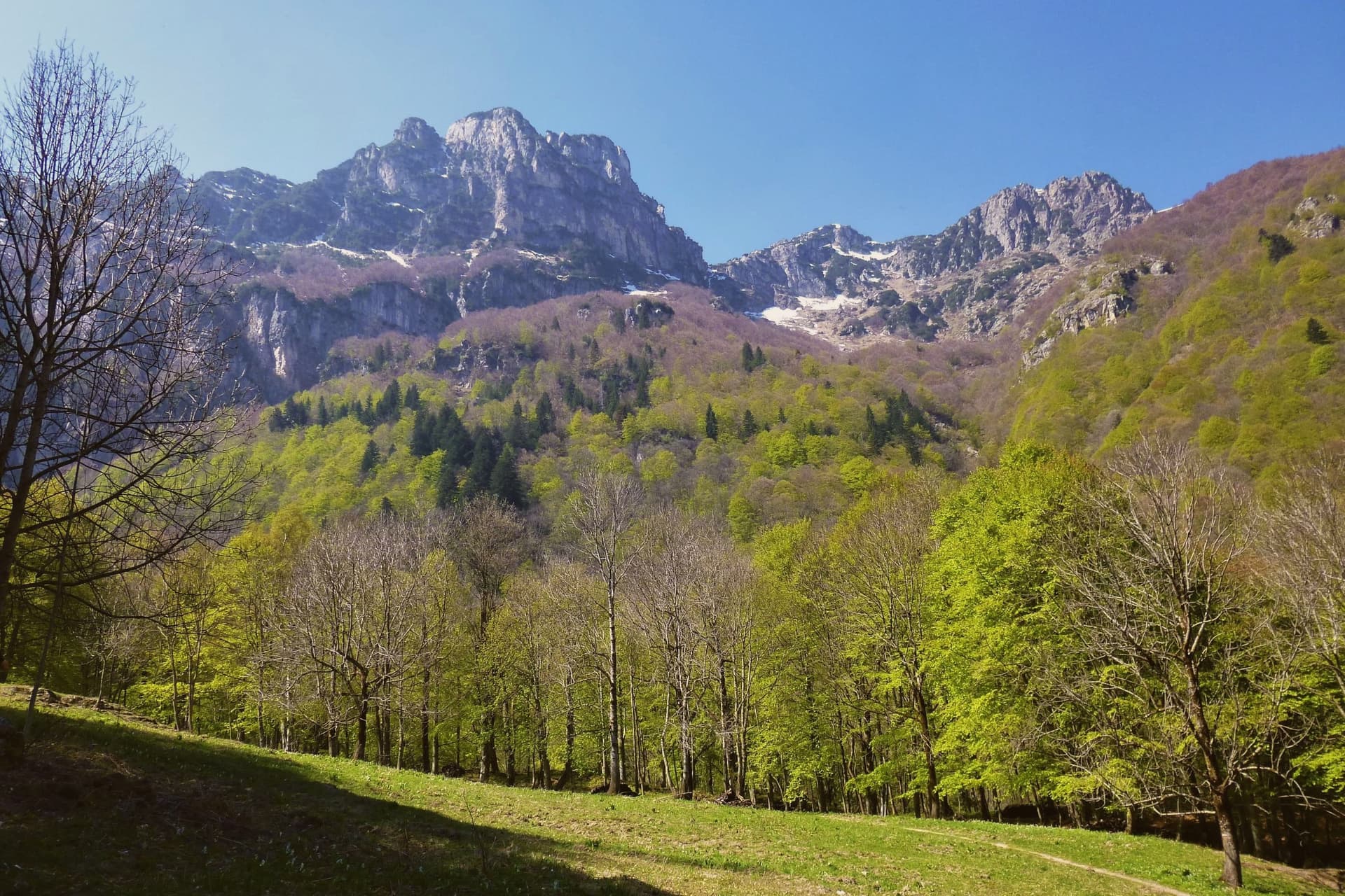
The Valle Pesio runs fifteen kilometers from the town up to the French border, a wedge of the Ligurian Alps whose municipal territory climbs from 575 meters at the village to over 2,600 meters at the ridge. The town exists because of the Certosa: in 1173 the lords of Morozzo donated upper-valley lands to a Carthusian monk named Ulderich from Casale, and the charterhouse that grew from that gift became one of the great spiritual and forestry centers of medieval Piedmont. Lower-valley woods once managed by the order for chestnut production still supply the harvest that keeps the town in the Città del Castagno network today.
The valley reads as a sequence from village to summit: the settlement at the mouth, the monastery upriver at the foot of Monte Mindino, and above both the high ground of the Marguareis, where karst has hollowed the rock into one of the most extensive cave systems in the Western Alps. A wolf pack, the first stable one documented in the Italian Alps, established itself in this same corridor in the mid-1990s. The valley's history and its wildness sit on top of each other rather than side by side, a monastic economy giving way, without displacing it, to a landscape still wild enough for wolves.
The Sunday letter
Chiusa di Pesio is on our list. Its letter is still to come.
We are writing about all 1,000 of these towns, one at a time, in a free letter every Sunday: the photo, the food, the festa. That is our mission. Sign up and you will be there when Chiusa di Pesio comes up. By Peter & Sophia, from Pietrasanta.
Read on
Chiusa di Pesio in our articles
 The best small towns inside a nature park in Piemonte6 towns, Chiusa di Pesio among them.
 The best ski towns in Piemonte8 towns, Chiusa di Pesio among them.
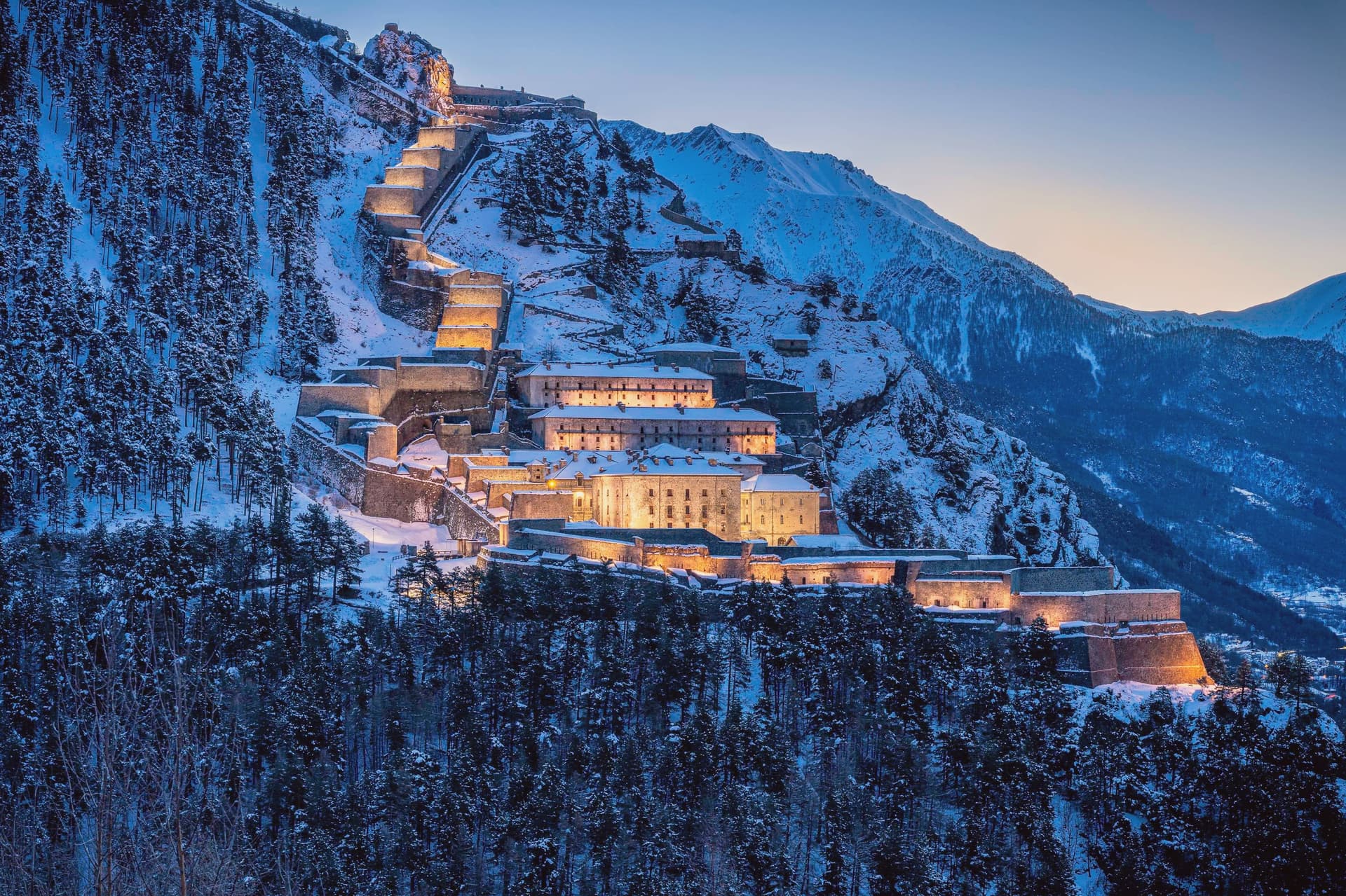 The best towns inside a nature park in Piemonte10 towns, Chiusa di Pesio among them.
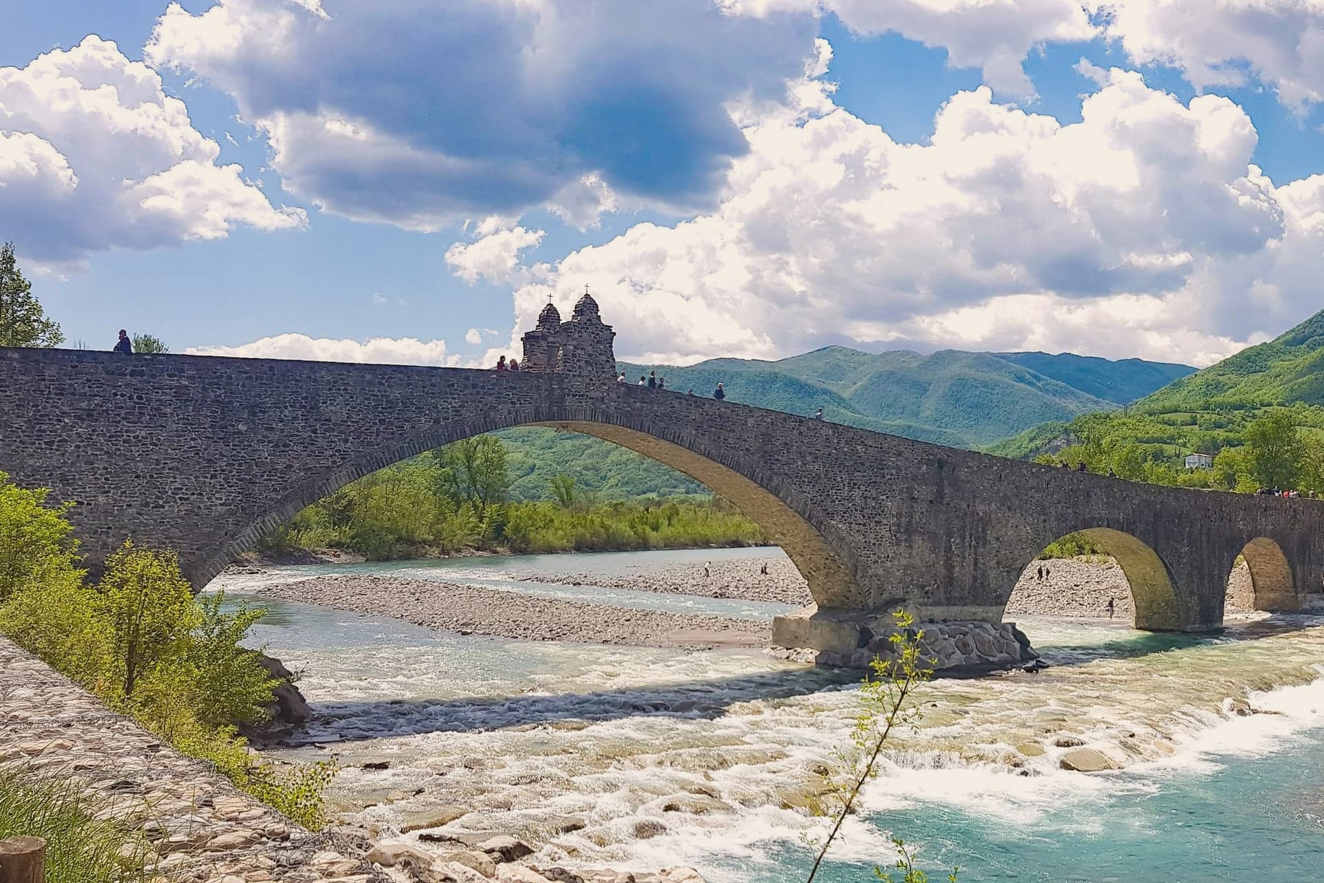 Every ski town in our catalogue, all of them97 towns, Chiusa di Pesio among them.
How to get there
From Turin (TRN), about 2 hours by car.
Genoa (GOA) is about 2 hours away.
By car from the centre of Milan 3 hours.
What to see
Certosa di Santa Maria in Valle Pesio
Now run by the Missionaries of the Consolata, who took over after the Carthusians left in the eighteenth century, the complex remains the cultural anchor of the upper valley.
Parco Naturale del Marguareis
Protected area of 7,900 hectares in the Ligurian Alps, holding the largest alpine karst system in Piedmont beneath its ridges.
Karst caves of the Marguareis
More than 150 kilometers of explored caves reaching 1,000 meters depth, among the most extensive cave systems in the Western Alps.
Monte Marguareis
The highest peak of the Ligurian Alps, rising above the protected area as the geographical anchor of the village's territory.
The slow-trip planner
Building a trip? Find where Chiusa di Pesio fits in a slow Italy circuit.
Answer five questions. We will shape a geographically coherent slow trip from the 1,000 Italian towns most travelers skip. Yours to save and share.
Living here
- Population 3,586
- Commuter belti
- Pharmacy in town
- Nearest high school over ~30 minutes away
- Nearest airport Turin, 1 h 57 min drive
- Regional capital Torino, 1 h 39 min drive
Common questions
- What is Chiusa di Pesio known for?
- Chiusa di Pesio is the valley mouth town at 575 meters where the Pesio leaves the mountains, founded around a Carthusian monastery donated in 1173.
- Where is Chiusa di Pesio?
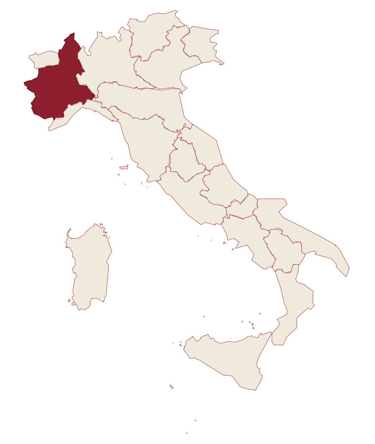
- Chiusa di Pesio is a comune in the province of Cuneo, in Piedmont.
- What is the nearest airport to Chiusa di Pesio?
- Turin (TRN), about 2 hours by car.
- How long is the drive from Milan to Chiusa di Pesio?
- About 3 hours by car.
- When is the best time to visit Chiusa di Pesio?
- Best in Apr–Oct. July is the warmest month, averaging 27 degrees, and May the wettest, with about 19 rain days.
- Is there a sagra or a festival in Chiusa di Pesio?
- The town keeps its patron saint's day: Antonino di Apamea, 28 August.
- Which other towns are like Chiusa di Pesio?
- Guarene, Castagnole delle Lanze and Neive.
- How many people live in Chiusa di Pesio?
- 3,586 at the 2023 count.
Tags & datadesignations · numbers · sources
The numbers
- Elevation: 575 m
- Population: 3,586
- Surface area: 95.02 km²
These figures were compiled from public directories: ISTAT, OpenStreetMap and Wikidata, and from the official listings of the guides named on this page. Town details change; verify with official sources before you travel.
Similar
Towns like Chiusa di Pesio
Guarene
Province: Cuneo
both inland, away from the coast · both between 3,000 and 10,000 people
Castagnole delle Lanze
Province: Asti
both inland, away from the coast · both between 3,000 and 10,000 people
Neive
Province: Cuneo
both inland, away from the coast · both between 3,000 and 10,000 people
Dogliani
Province: Cuneo
both inland, away from the coast · both between 3,000 and 10,000 people
Bagnoregio
Province: Viterbo
both inland, away from the coast · both between 3,000 and 10,000 people
Atina
Province: Frosinone
both inland, away from the coast · both between 3,000 and 10,000 people
🟠 Bandiera Arancione
More Bandiera Arancione towns in Piedmont
Agliè
Province: Torino
A Canavese borgo at 330 meters whose Castello Ducale, a UNESCO Savoy residence since 1997, has been held by the d'Agliè since 1259.
Alagna Valsesia
Province: Vercelli
A Walser village at 1,191 meters, at the head of the Valsesia, known to off-piste skiers worldwide.
Arona
Province: Novara
A town at the southern tip of a lake, watched over by a colossus finished in 1698.
Avigliana
Province: Torino
A medieval Savoy town at 383 meters at the mouth of the Susa Valley, between two glacial lakes and the abbey on the mountain above.
Barolo
Province: Cuneo
A Langhe borgo at 301 meters whose Castello Falletti gave its name to the wine the Marchesi turned dry in the 1830s with Cavour's help.