
Emilia-Romagna · Forlì-Cesena
Bagno di Romagna
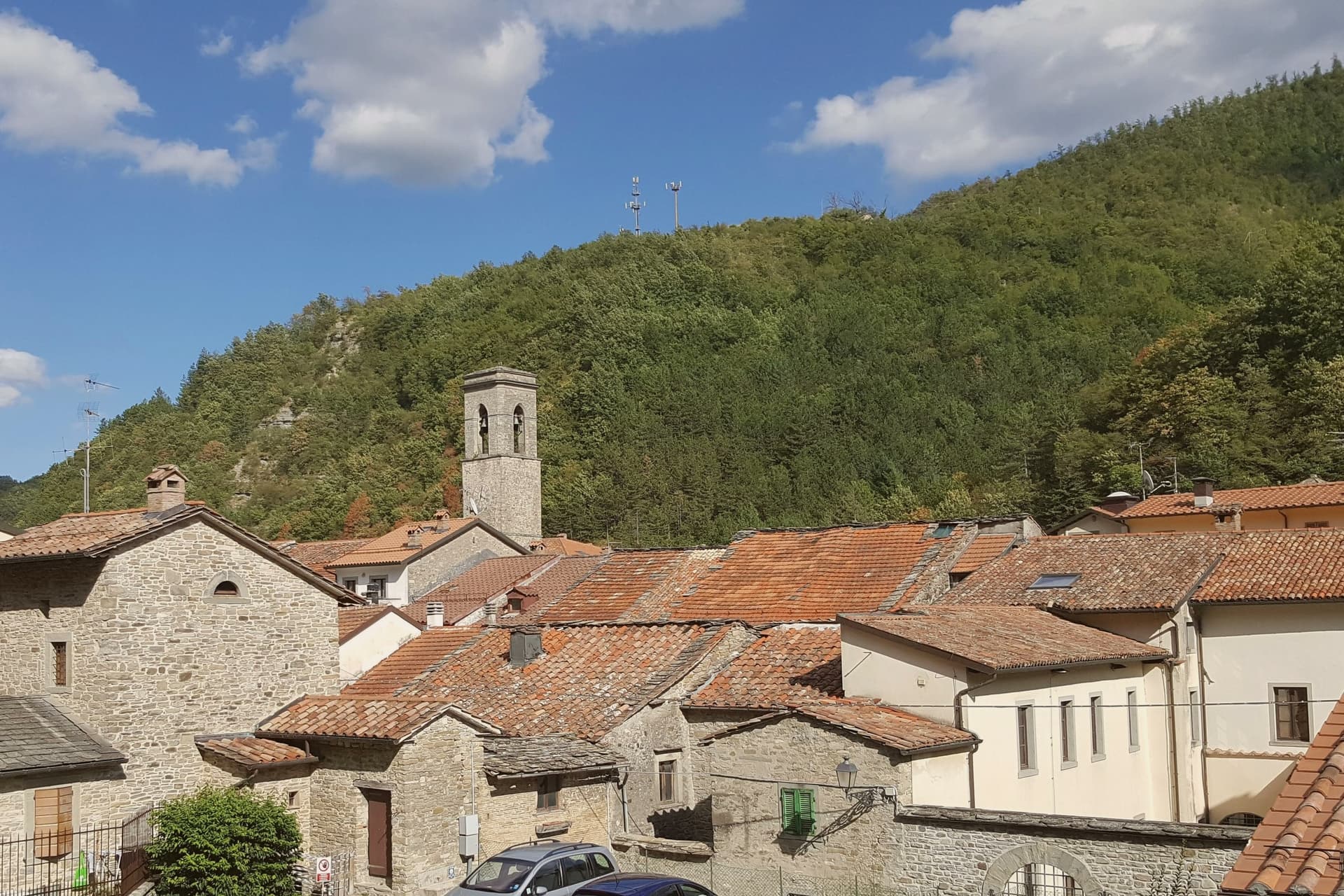
A 491-meter thermal town at the head of the Savio valley, drawing on springs that have run at 47 degrees since Roman times.
- Best time
- All year
- By car
- 1 h 30 min from Rimini
- Population
- 5,592
Known for
THERMAL SPRINGS
Sulphurous waters surfacing at 47 degrees, used continuously since the Roman period and still feeding two operating complexes in the centro storico.
FORESTE CASENTINESI
Half the municipality falls inside the national park, the largest old-growth beech and silver-fir forest in central Europe.
TUSCAN BORDER
The town was Tuscan until 1923, when Mussolini redrew the provincial line to put the source of the Tiber inside his native Forlì.
When to visit
Best · All year
- J8°
- F11°
- M12°
- A15°
- M20°
- J25°
- J29°
- A28°
- S23°
- O19°
- N13°
- D10°
- Best
- Hot or crowded
- Quiet
- Mostly closed
Daytime averages, 2020–2024. Weather data by Open-Meteo.com.
The festa: Assunzione di Maria, 15 August
Why come
Bagno di Romagna sits at the head of the Savio valley, on the Apennine ridge that separates Romagna from Tuscany. The town belonged to Tuscany until 1923, when Mussolini moved the provincial border so the source of the Tiber would fall inside his native Forlì. Its name comes from the thermal springs that surface at 47 degrees, rich in sodium-carbonate-sulphur, used by the Romans and continuously since.
Two thermal complexes still operate in the centro storico. The municipality reaches into the Parco Nazionale delle Foreste Casentinesi, the largest old-growth beech and silver-fir forest in central Europe, where the Ridracoli reservoir holds the drinking water for most of Romagna. San Piero in Bagno, the larger frazione four kilometers down the road, was made the administrative seat by royal decree in 1865 while the older Bagno kept the name and the springs. The town carries Borghi più belli, Bandiera Arancione, and Parco Nazionale recognition.
The Sunday letter
Bagno di Romagna is on our list. Its letter is still to come.
We are writing about all 1,000 of these towns, one at a time, in a free letter every Sunday: the photo, the food, the festa. That is our mission. Sign up and you will be there when Bagno di Romagna comes up. By Peter & Sophia, from Pietrasanta.
Read on
Bagno di Romagna in our articles
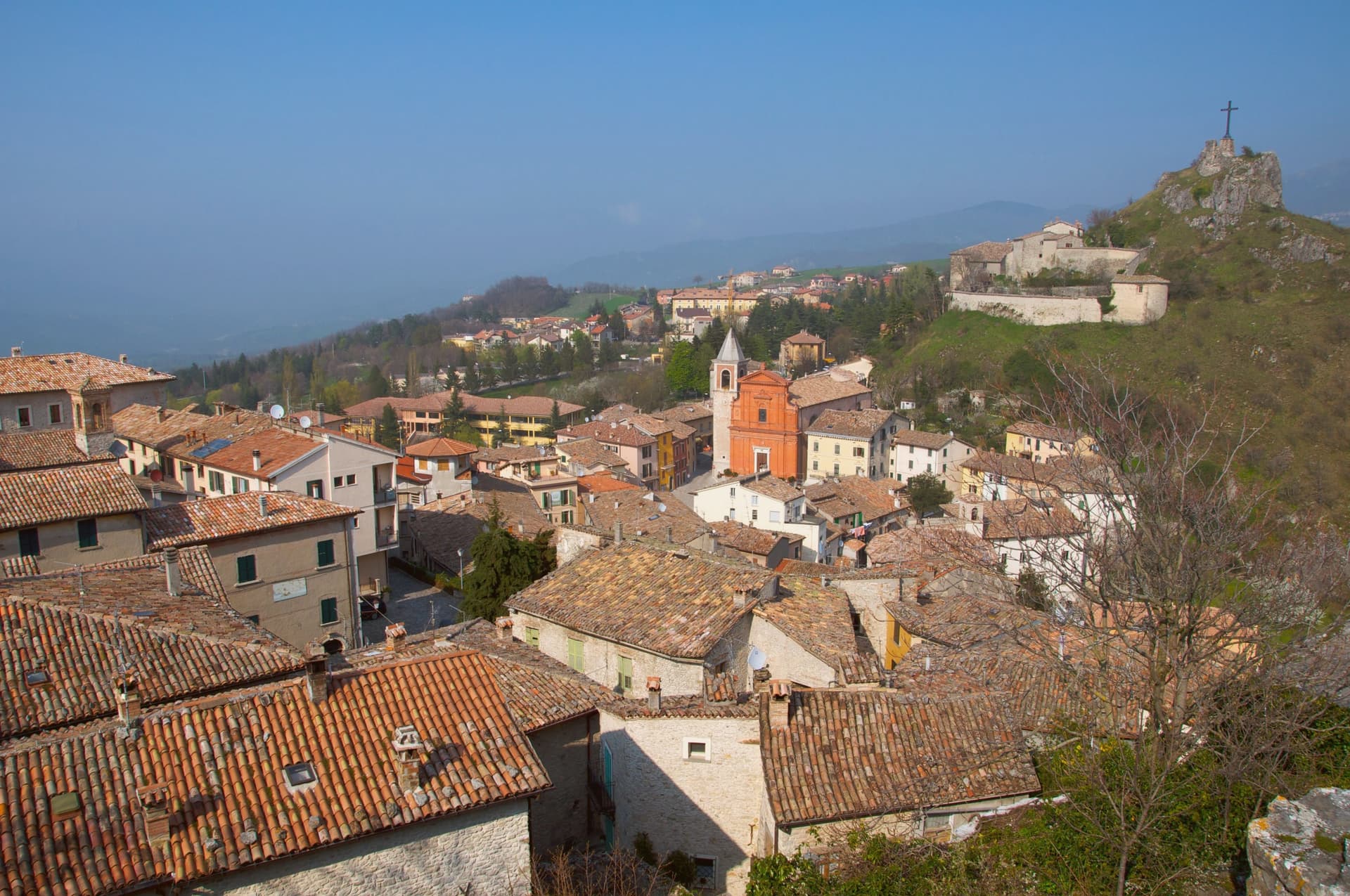
 The prettiest villages that eat well in Emilia-Romagna6 towns, Bagno di Romagna among them.
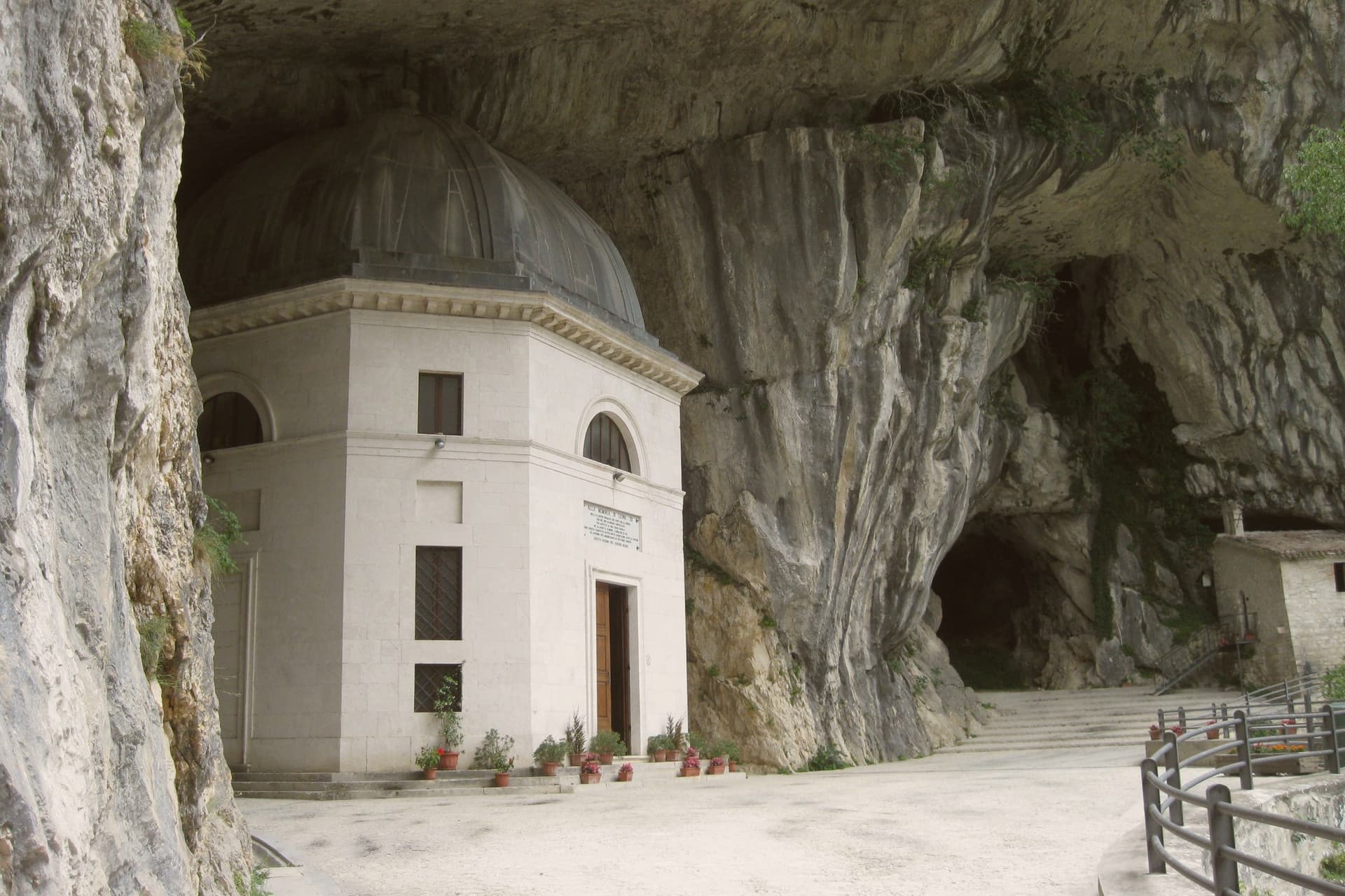
 The best hidden towns with a serious restaurant in Emilia-Romagna7 towns, Bagno di Romagna among them.
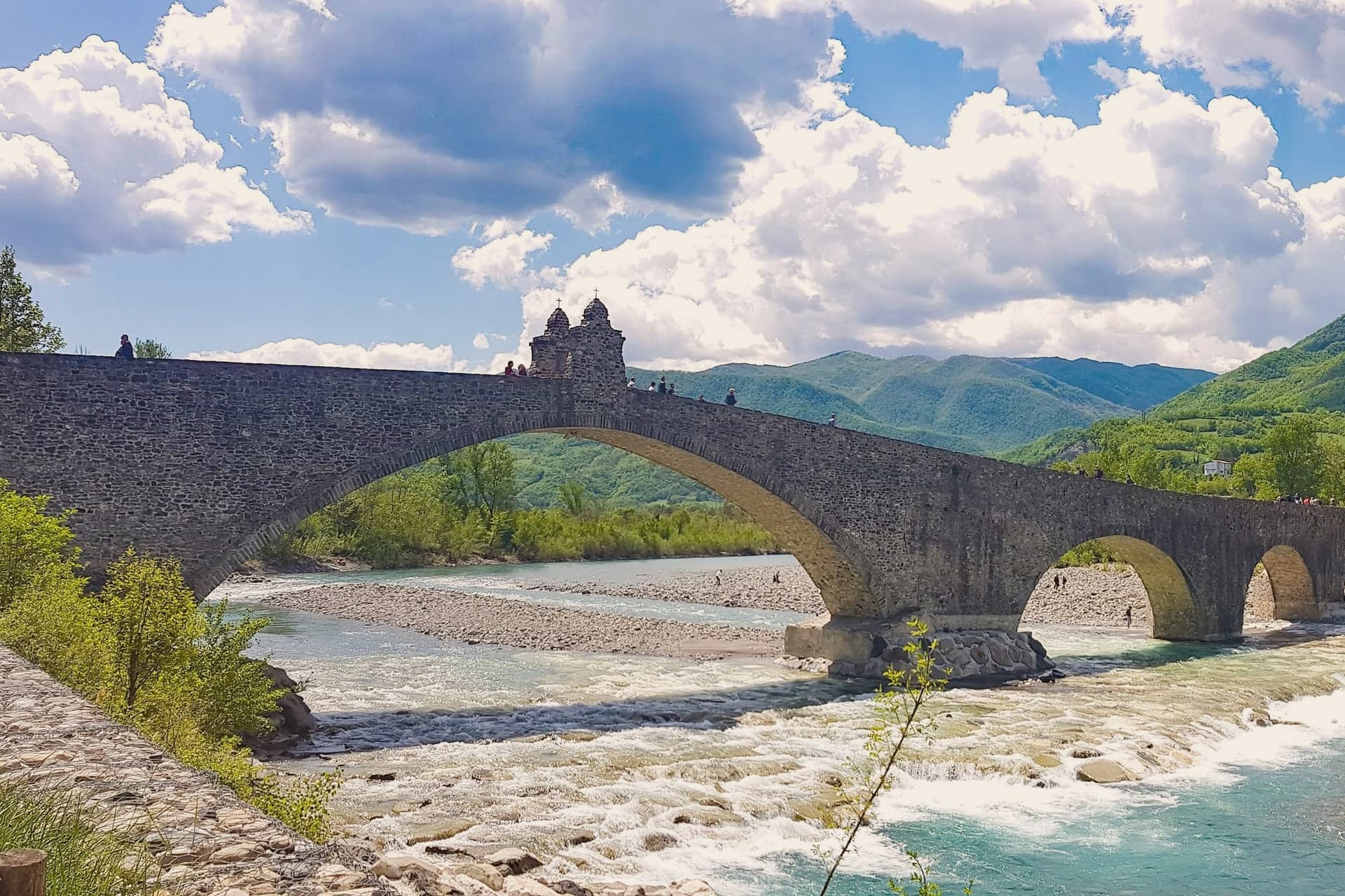
 The best hot-spring towns within two hours of Rimini7 towns, Bagno di Romagna among them.
 The best hot spring towns in Emilia-Romagna8 towns, Bagno di Romagna among them.
How to get there
From Rimini (RMI), about 1h 48m by car.
Bologna (BLQ) is about 2 hours away.
By car from the centre of Perugia 1h 49m or Florence 1h 51m.
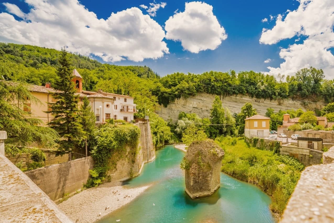
Coming by train into Forlì? Bagno di Romagna is about 1h 17m away by road.
What to see
Terme di Sant'Agnese
Sulphurous thermal complex in the centro storico, drawing on springs that surface at 47 degrees and have been in continuous use since Roman times.
Basilica di Santa Maria Assunta
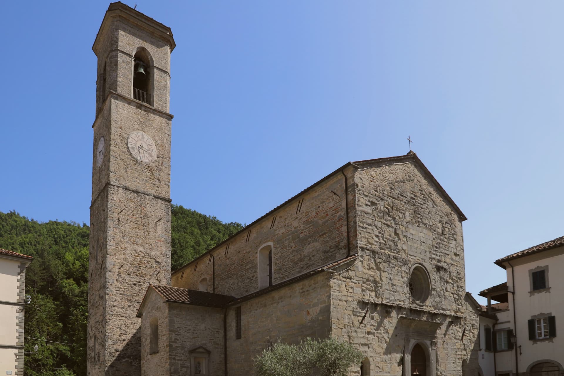
Twelfth-century church with a fifteenth-century Della Robbia terracotta and a wooden crucifix attributed to the school of Brunelleschi.
Parco Nazionale delle Foreste Casentinesi
Old-growth beech and silver-fir forest spanning the Apennine ridge, the largest continuous protected forest in central Europe.
Diga di Ridracoli
Reservoir within the national park, completed in 1982, providing drinking water to most of Romagna and accessible by trail and boat.
Palazzo del Capitano
Fifteenth-century civic palace built when the town was a Florentine outpost, with the Medici coat of arms still on the façade.
The slow-trip planner
Building a trip? Find where Bagno di Romagna fits in a slow Italy circuit.
Answer five questions. We will shape a geographically coherent slow trip from the 1,000 Italian towns most travelers skip. Yours to save and share.
We recommend
Where to eat
Not our picks, but places the guides put their name to: a Michelin star, a Gambero Rosso fork, a Slow Food snail, a Michelin Key for the hotels. Worth a table, a counter, or a night when you pass through.
Ristorante del LagoRistorante
One Michelin star for Ristorante del Lago, along with two Gambero Rosso forks (83/100) and a place in L'Espresso's Top 300.
daGoriniRistorante
daGorini holds three Gambero Rosso forks (90/100) and a place in L'Espresso's Top 300.
Paolo TeveriniRistorante
A Gambero Rosso listing for Paolo Teverini, and a spot in the Michelin Guide.
Da GoriniRistorante
Da Gorini has one Michelin star to its name.
Through the year
What happens here
Feasts and festivals that come back year after year. We give the month rather than the date, because the date moves and the month rarely does. Check with the source before you plan a journey around one.
I giorni del Capitanohistorical re-enactment
usually held across July and August. Sagre in Romagna
Ferragosto Bagnesepatron saint's feast
usually held in August. TrovaSagre
Living here
- Population 5,592
- In-betweeni
- Pharmacy in town
- High school within a 30-minute drive
- Nearest airport Rimini, 1 h 48 min drive
- Regional capital Bologna, 2 h 1 min drive
Common questions
- What is Bagno di Romagna known for?
- Bagno di Romagna is a 491-meter thermal town at the head of the Savio valley, drawing on springs that have run at 47 degrees since Roman times.
- Where is Bagno di Romagna?
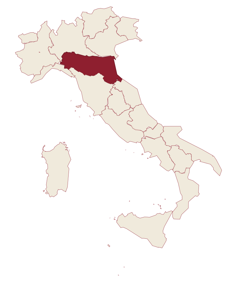
- Bagno di Romagna is a comune in the province of Forlì-Cesena, in Emilia-Romagna, at 491 meters above sea level.
- What is the nearest airport to Bagno di Romagna?
- Rimini (RMI), about 1h 48m by car.
- How long is the drive from Perugia to Bagno di Romagna?
- About 1h 49m by car.
- When is the best time to visit Bagno di Romagna?
- Best All year. July is the warmest month, averaging 29 degrees, and May the wettest, with about 15 rain days.
- Is there a sagra or a festival in Bagno di Romagna?
- Yes. I giorni del Capitano and Ferragosto Bagnese. July is when the first of them falls.
- Which other towns are like Bagno di Romagna?
- Levico Terme, Rapolano Terme and Anghiari.
- How many people live in Bagno di Romagna?
- 5,592 at the 2023 count.
Tags & datadesignations · numbers · sources
The numbers
- Elevation: 491 m
- Population: 5,592
- Surface area: 233.52 km²
These figures were compiled from public directories: ISTAT, OpenStreetMap and Wikidata, and from the official listings of the guides named on this page. Town details change; verify with official sources before you travel.
Similar
Towns like Bagno di Romagna
Levico Terme
Province: Trento
both spa towns · both between 3,000 and 10,000 people
Rapolano Terme
Province: Siena
both spa towns · both between 3,000 and 10,000 people
Anghiari
Province: Arezzo
both between 3,000 and 10,000 people · both hill towns
Citerna
Province: Perugia
both between 3,000 and 10,000 people · both hill towns
Canossa
Province: Reggio nell'Emilia
both between 3,000 and 10,000 people · both hill towns
Castrocaro Terme e Terra del Sole
Province: Forlì-Cesena
both spa towns · both between 3,000 and 10,000 people
🎨 Borghi più belli d'Italia
More Borghi più belli d'Italia towns in Emilia-Romagna
Bagnara di Romagna
Province: Ravenna
A 22-meter plain commune in the Bassa Romagna, the only fully preserved medieval castrum surviving in the Romagna lowlands.
Bertinoro
Province: Forlì-Cesena
A 254-meter Romagna-hill borgo above the Via Emilia, with a twelve-ring hospitality column from 1300 and the slopes that grow Albana DOCG.
Bobbio
Province: Piacenza
A 272-meter Trebbia-valley town built around an abbey founded in 614, named Borgo dei Borghi by RAI in 2019.
Brisighella
Province: Ravenna
A Lamone-valley borgo at 115 meters under three selenite hills crowned by a fortress, a clock tower, and a sanctuary.
Castell'Arquato
Province: Piacenza
A 224-meter hilltop borgo in the Val d'Arda, kept intact since the tenth century and crowned by Luchino Visconti's 1342 fortress.