
The best small lake towns in Piemonte
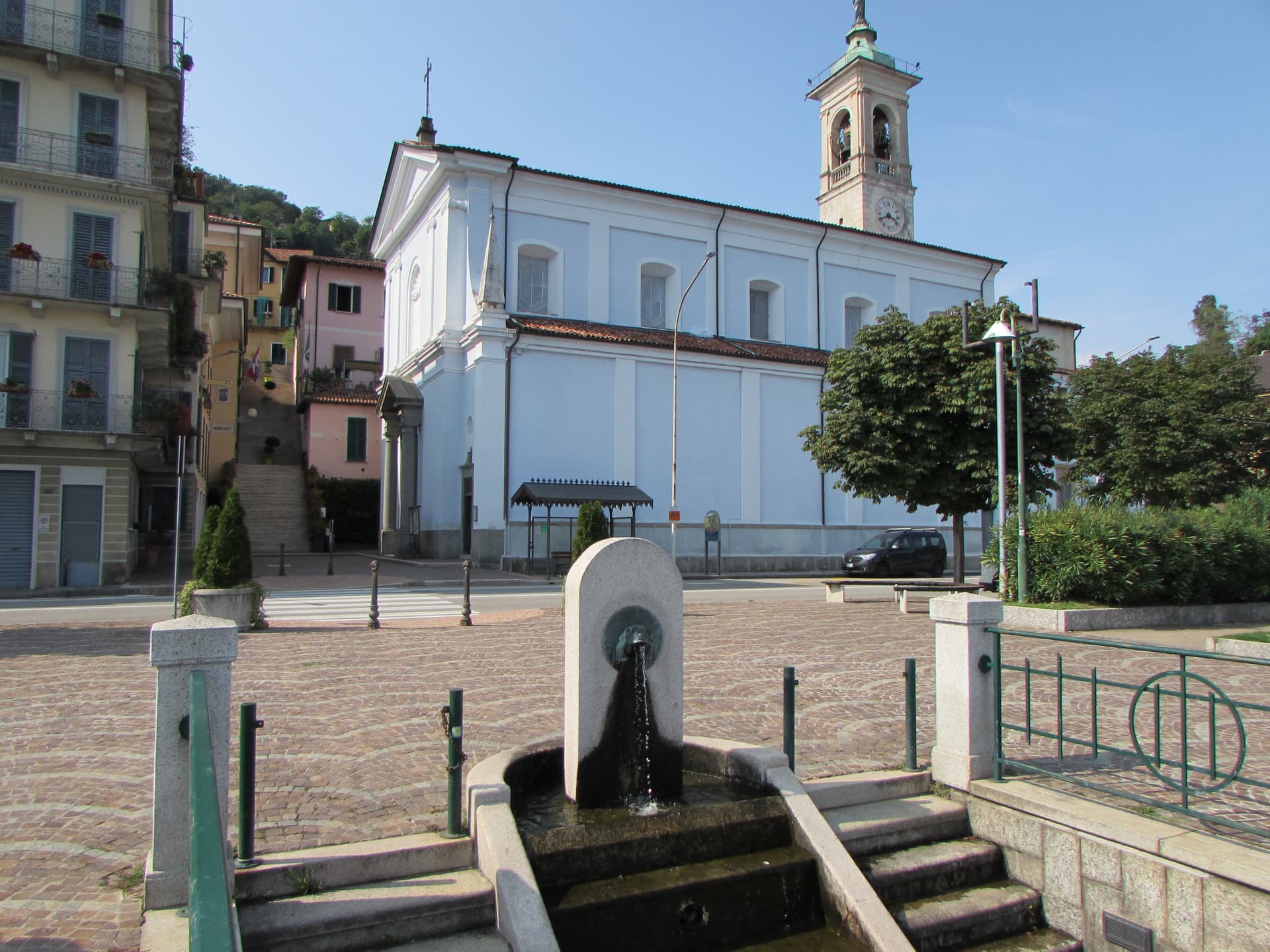
The Piemontese lakes are made of granite and water. Baveno pink, quarried out of the hills behind the shore, faces Maggiore in villas and church steps and harbour walls, and the camellias flower against it in early spring before the summer crowds arrive. Kitchens here run to lake fish, perch fillets with rice, whitefish under oil and herbs, agnolotti in autumn when the mist comes down off Mottarone. The water stays cold and clear well into the season, and the promenades face west, which is why the evening light on this shore has been painted so often.
Most people come for Lake Como, and Como earns it: Bellagio, the Milanese villas, the ferry lines threading between headlands. It is also relentless in July and August, with narrow lakeside roads that carry more coaches than they were built for and terraces priced accordingly. The famous Borromean islands on Maggiore run the same pattern in high season, boats loading and unloading all day.
The lakes do not stop at the famous stretch. Maggiore runs north past the resort hotels into smaller shore towns where the ferry still calls and the parking is easier, and inland there is Orta with its island, and Mergozzo on its own small lake where motorboats are banned. These are the places in this list, all of them on the water, all of them smaller than the names on the posters.
Of the 65 communes we have mapped in Piemonte, 11 qualify as lake towns: each sits on a lake shore. This list is the small ones, 7 in all, ordered smallest first. The smallest, Belgirate, has 473 residents.
If you are still choosing, we have also written The best lake towns in the province of Verbano-Cusio-Ossola and The best lake towns within two hours of Turin.
Belgirate
Why visit Belgirate
Belgirate sits at 199 meters on the west shore of Lake Maggiore, eleven kilometers south of Verbania and ten north of Arona. The village climbs the lower slopes of the Motta Rossa hill, where the medieval core takes its name from the curve, the bel girare, that the shore makes here.
The Chiesa Vecchia di Santa Maria sits above the town on a terrace looking over the lake. The Romanesque bell tower dates to the eleventh century, the body of the church to the twelfth; the small churchyard gives the panorama that has kept the village on Grand Tour itineraries for two hundred years.
The Società delle Regate, founded in Belgirate in 1858, is recognised as the first yacht club in Italy and still races each year. The nineteenth-century villas along the shore hosted Alessandro Manzoni, Antonio Rosmini and the poet Guido Gozzano; Villa Carlotta, now a hotel, was where several Risorgimento figures met.
The commune has no institutional signals firing, which suits a place that has stayed small on purpose.
The town sits on the water, at 199 metres.
What to see in Belgirate
- Chiesa Vecchia di Santa Maria. Romanesque church on a terrace above the lake, with an 11th-century bell tower and a 12th-century body, holding the original parish until the 19th century.
- Ville ottocentesche. Line of 19th-century villas along the shore, including Villa Carlotta and Villa Cairoli, hosts to Manzoni, Rosmini and Gozzano in the same period.
- Lungolago di Belgirate. Long lakefront promenade between Arona and Stresa, with views across the lake to the Lombard shore at Angera and Ranco.
How to get to Belgirate
There is a railway station in the town, so you can arrive without a car and never need one while you are here. Novara is roughly 59 minutes away by road.
Our tip
April through June and September into October are the best months on the west shore of Lake Maggiore. The lake holds steady at high teens, the lungolago is open without traffic, and the climb up to the Chiesa Vecchia gives the longest light of the day. July and August are warm but rarely crowded in Belgirate; the village is small enough that the Maggiore day-trip flows pass it for the bigger lakefronts of Stresa and Arona.
Cannero Riviera
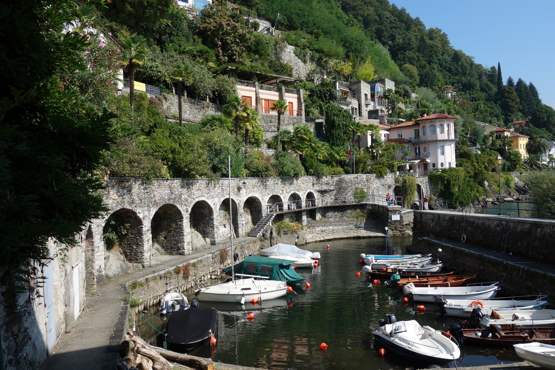
Why visit Cannero Riviera
Cannero Riviera sits at 225 meters on the western shore of Lago Maggiore, fifteen kilometers north of Verbania and just south of the Swiss border. About 900 people live here.
The fortifications off shore are what remains of the Rocca Vitaliana, built between 1519 and 1521 by Ludovico Borromeo over an earlier castle, the Malpaga, used as a refuge in the early fifteenth century by the Mazzarditi brothers, five pirate brothers who ran the high lake from this base until the Visconti put them down. The town itself runs as a lakefront row below the promenade, while above it on the slope sits the parish church, and higher still on the hillside, reached only by mule track, is the abandoned frazione of Carmine Superiore with its fourteenth-century church.
The settlement is layered from water to hill: fortress ruins offshore, houses and gardens at lake level, a church on the rise, and a dead hamlet further up still. What the water sees from below and what survives on the height above it are the same centuries, read at different altitudes.
The town sits on the water, at 225 metres.
What to see in Cannero Riviera
- Castelli di Cannero. Ruins standing in slow decay since their eighteenth-century abandonment, the islets visible from the whole promenade and reached by boat rather than on foot.
- Lungolago di Cannero. Lakefront promenade past pastel-stuccoed houses, citrus and oleander gardens, beach access and ferry stops for the high-lake circuit.
- Chiesa di San Giorgio. Parish church on the slope above the lake, with a portico opening toward the water and the islets beyond.
How to get to Cannero Riviera
Novara is roughly 86 minutes away by road.
Our tip
April through June brings the lake gardens into bloom, with lemons and oleander on the lungolago and the high-lake ferries running full schedule. September and October hold warm water and clear light on the islets. July and August can fill the promenade with day-trippers from Locarno and Stresa; mornings on the water and evenings in the upper village are the quiet hours.
Orta San Giulio
Why visit Orta San Giulio
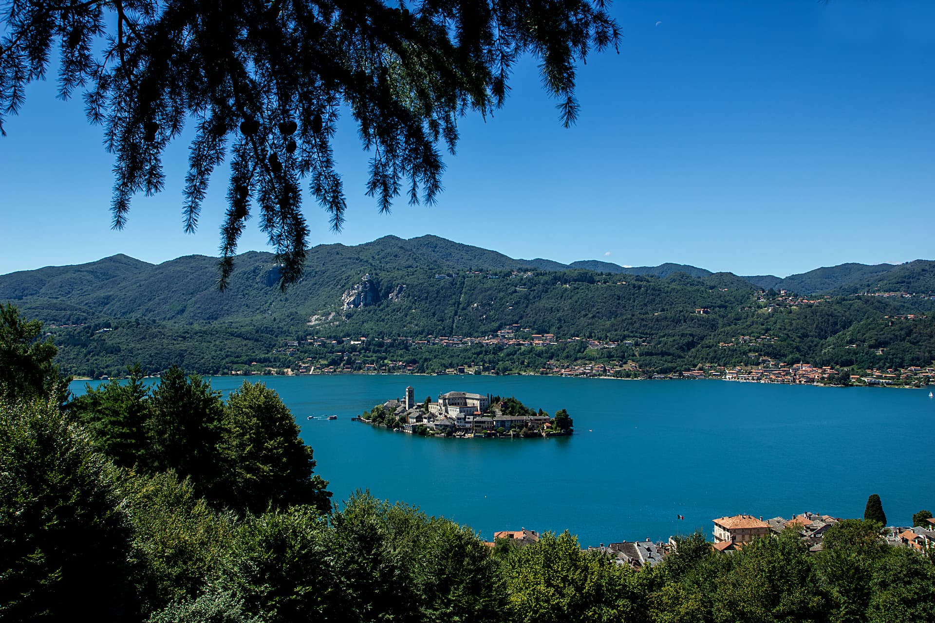
The town occupies a promontory pushed into the eastern shore of the lake, facing the small island 275 meters long and 140 meters wide. The two are close enough that the island reads as an extension of the town rather than a separate place, and a five-minute motorboat from the piazza is the only way across.
The old town holds three Tier-A signals at once: Borghi più belli, Bandiera Arancione, and the UNESCO inscription of 2003. The relationship between the three parts of the town explains how it works: the waterfront square and its lanes sit at lake level, facing the island directly across the water, while the hill above holds the devotional complex, reached by climbing away from the shore rather than along it.
Piazza Motta was also the seat of the Comunità della Riviera di San Giulio, an autonomous federation of lake towns that survived from the Middle Ages to the mid-eighteenth century, which is why the square, not the hill or the island, was built as a civic center. What results is a town in three registers at once: civic life at the water's edge, monastic life offshore, and devotional life on the hill above, each occupying its own ground and visible from the others.
The town sits on the water, at 294 metres.
What to see in Orta San Giulio
- Basilica di San Giulio. Serpentine ambo inside and a silver shrine dated 1697. Reached by boat, the basilica stands close to the water's edge, the focal point of the view from every point on the promontory.
- Piazza Motta and Palazzo della Comunità. The broletto's arcades face the water directly, and the square narrows toward the boat landing where the crossing to the island begins.
- Sacro Monte di Orta. The chapels climb the wooded hillside in sequence, each framing a scene, with the town and the lake opening up in views between them as the path gains height.
How to get to Orta San Giulio
There is a railway station in the town, so you can arrive without a car and never need one while you are here. Novara is roughly 46 minutes away by road.
Our tip
April through June brings the Sacro Monte chapels into the chestnut shade and the lake water warm enough for the open-air bars on Piazza Motta. July and August fill the ferry to the island and the piazza turns over by the hour; the centro pedestrian zone slows to a queue at lunch. September and October are the clearest window: low light on the basilica across the water, fewer day-trippers from Milano, and the Sacro Monte path almost empty after eleven.
Mergozzo
Why visit Mergozzo
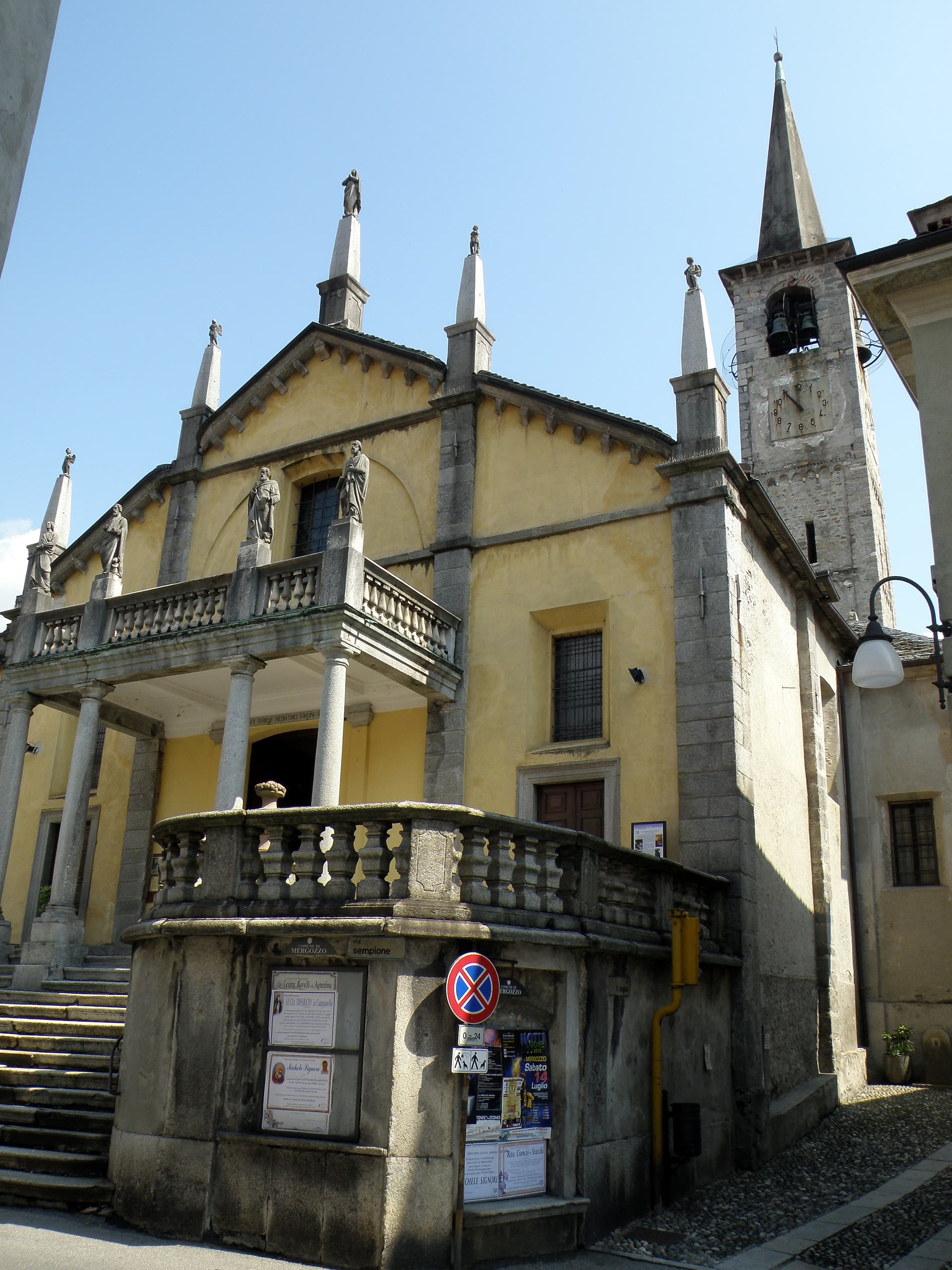
The lake is 74 meters deep and sits at 204 meters, separated in antiquity from its larger neighbor when sediment from the Toce river closed the channel between them. The village faces the water from the western shore, folded behind a lakefront piazza where the parish church holds a painting from 1623 already showing the elm that gives the square its character.
Behind the piazza, narrow stone-paved lanes called strece climb toward terraced gardens, the houses built of the same granite quarried on neighboring Montorfano hill. Stone has long been the local economy, tying Mergozzo to the wider region: the same quarries that cut the lanes' paving supplied material used in Rome and across northern Italy.
Trailheads above the village lead into Val Grande, so the same slopes that shelter the piazza from behind also open, higher up, onto one of the wildest valley systems in the Alps. What holds the place together is this stacking of scales: a small, closed-off lake at the bottom, a worked hillside of stone above it, and beyond that, wilderness.
The town sits on the water, at 204 metres.
What to see in Mergozzo
- L'Olmo di Mergozzo. Hollow-trunked field elm on the lakefront piazza, still standing and shading the square it has watched over for generations.
- Lago di Mergozzo. 2.5 km lake separated from Lago Maggiore by Toce sediment, motorboat-free and ranked among Europe's cleanest waters.
- Centro storico. Stone-paved lanes (strece) and granite houses climbing the slope behind the lakefront piazza.
How to get to Mergozzo
There is a railway station in the town, so you can arrive without a car and never need one while you are here. Novara is roughly 67 minutes away by road.
Our tip
April through June and September into October are the months the lakefront works best: mild water, open trattorie and Val Grande trails clear of snow but cool enough to walk. July and August fill the small beach and the parking lots, though Mergozzo never reaches the volume of nearby Stresa on Maggiore. November through March is quiet.
Ghiffa
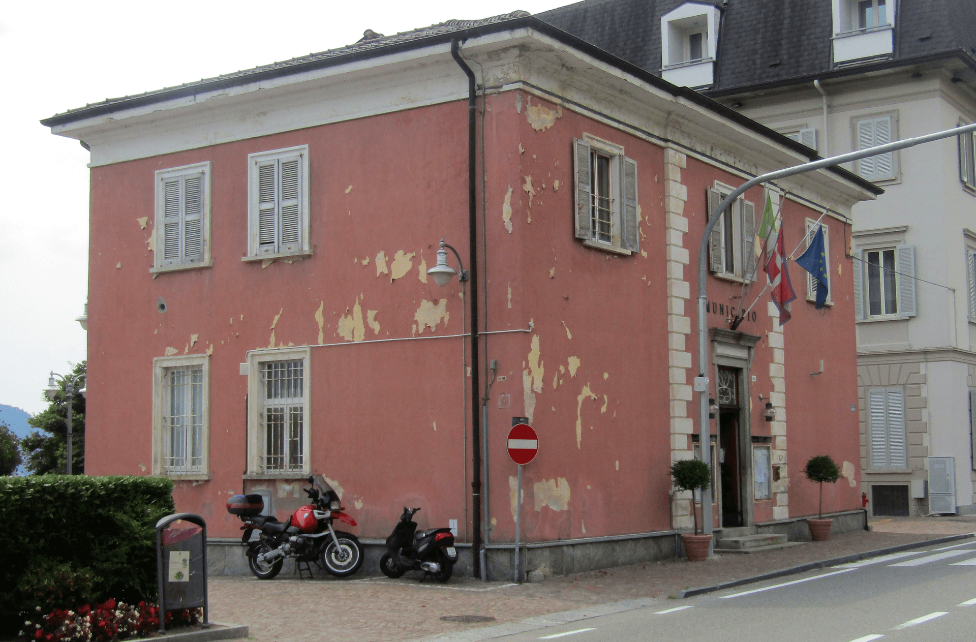
Why visit Ghiffa
Ghiffa runs along the west shore of Lake Maggiore between Verbania and Cannobio, a strip of lakefront at 201 meters facing the Lombard side of the lake. Above the village, at 360 meters on the slope of Monte Carciago, the ground rises to the Sacro Monte della SS.
Trinità, inscribed by UNESCO in 2003 among the nine Sacri Monti of Piemonte and Lombardia. The village below and the sanctuary above form the two halves of Ghiffa: one built on the lake trade and the ferry crossings to the Lombard shore, the other set apart in woodland on the mountain.
From 1879 the Panizza hat factory turned Ghiffa into one of Europe's hat-making centers, and the trade employed most of the village for a century before the factory closed. What is left of that trade sits in the same lakefront ground the sanctuary looks down on: a village shaped as much by an industry that has ended as by the devotional complex that has outlasted it.
The town sits on the water, at 201 metres.
What to see in Ghiffa
- Sacro Monte della SS. Trinità. Sanctuary plus three chapels and porticoed Stations of the Cross set in a 200-hectare reserve, built around an older medieval chapel.
- Museo dell'Arte del Cappello. Lakefront museum in the former factory building, holding molds, stamps, and records from a century of Ghiffa hat-making, including the Borsalino style made and exported here.
- Riserva Naturale del Sacro Monte. Two hundred hectares of beech and chestnut woods around the sanctuary, with marked trails to Cappella del Porale at 470 meters.
How to get to Ghiffa
There is a railway station in the town, so you can arrive without a car and never need one while you are here. Novara is roughly 75 minutes away by road.
Our tip
April through October is the lake season. May and June bring the wisteria along the lakefront and clear days on the Sacro Monte. September and October are dry, with the sanctuary's chestnut woods turning and the ferry schedule still running.
Stresa
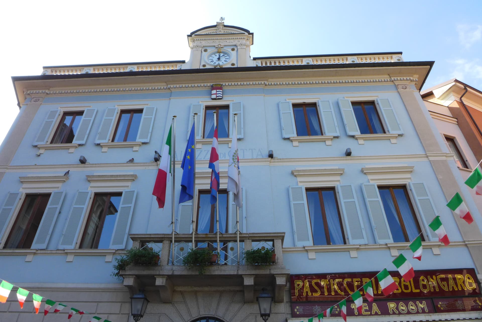
Why visit Stresa
Stresa sits at 200 meters on the western shore of Lake Maggiore, ninety kilometers north of Milano on the line of the Simplon railway. The town first appears in documents in 998, as Strixsya.
From the seventeenth century the lake stage here belonged to the Borromeo family: the palazzo on what had been called l'isola inferiore was begun in 1632, the island renamed after its patron's wife. The other two islands of the group lie 400 meters offshore alongside it, reached by regular ferry from the two town piers, one still inhabited, one given to its park.
Villa Pallavicino, established 1855, sits apart from this cluster on the southern edge of town, its own botanical and wildlife ground answering the islands' gardens without belonging to the same estate. The town's other identity, as a resort, dates to 1863 and the lakefront hotel building that opened international tourism here, later drawing the festival that has filled the town each late summer since 1962.
What Stresa amounts to is a small lake shore town organized almost entirely around water it faces rather than land it occupies: the islands offshore, the piers that reach them, and a lakefront built for arrival rather than settlement.
The town sits on the water, at 200 metres.
What to see in Stresa
- Isola Bella. The island sits close to the town piers, its terraced Baroque gardens rising in tiers above the water and the palazzo facing the lakefront directly.
- Isola Madre. The largest of the group, given over almost entirely to its park: paths through subtropical planting and glimpses of the villa between the trees.
- Isola dei Pescatori. The one island still lived in year-round, its lanes narrow between the houses and the trattorie facing the water where the fishing boats once worked.
How to get to Stresa
There is a railway station in the town, so you can arrive without a car and never need one while you are here. Novara is roughly 57 minutes away by road.
Our tip
April through June is the green window on Lake Maggiore: Isola Bella's terraced gardens in flower, the ferries running full timetable, and the lakefront promenade open without the August press. July and August are warm and crowded; the centro empties between two and four in the afternoon heat, and the islands fill on day trips from Milano. The Settimane Musicali run from late August into September, the busiest cultural weeks of the year.
Baveno
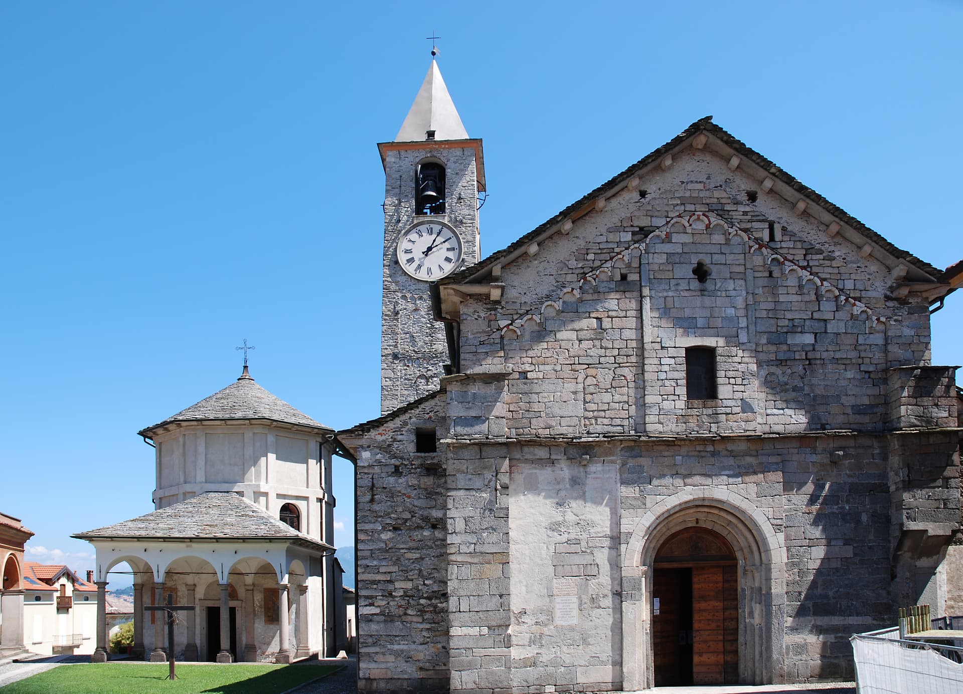
Why visit Baveno
Baveno sits at 205 meters on the west shore of the lake, twenty-one kilometers north-west of Arona. The town was occupied in the Iron Age by the Lepontii, a tribe of the Ligures, before the Romans reached the lake, and its historic core still gathers around the raised church and its baptistery above the shore road.
To the north-west, the granite quarries have cut into the hillside since the early sixteenth century, and the stone they produced left Baveno for Milan and Rome, built into a cathedral, a basilica, and a shopping gallery. Along the water, a line of nineteenth-century villas marks the period when Lake Maggiore became a fixed point on the European Grand Tour, and from that same shore the Isole Borromee sit a ten-minute ferry away, close enough that the gulf reads as one continuous view rather than a lake and its islands.
The town's quarries built landmarks elsewhere while its own shore stayed a place people came to look at the water.
The town sits on the water, at 205 metres.
What to see in Baveno
- Chiesa dei Santi Gervasio e Protasio. The two Romanesque buildings, church and baptistery, form the religious centre of the historic core, raised above the road that runs along the water.
- Cave di Granito Rosa. The quarries lie north-west of town, cut into the hillside, the source of stone that traveled to two large churches and a shopping gallery.
- Golfo Borromeo. The gulf opens out between Baveno and Stresa, the water broken by three islands, Isola Bella, Isola dei Pescatori and Isola Madre, each reachable within minutes.
How to get to Baveno
There is a railway station in the town, so you can arrive without a car and never need one while you are here. Novara is roughly 55 minutes away by road.
Our tip
April through June and September into October are the best months on the Borromean Gulf. The lake stays cool, the ferries to Isola Bella run a full timetable, and the lakeside promenade carries traffic without congestion. July and August are warm and crowded: full hotels, restaurant queues, and ferry decks pressed shoulder to shoulder on the short hop from Stresa.
More from Anywhere Italy
- The best lake towns in the province of Verbano-Cusio-Ossola
- The best lake towns within two hours of Turin
 The best small towns you can reach by train that have a serious restaurant in Piemonte
- The 8 best towns you can reach by train in the province of Verbano-Cusio-Ossola
- The best lake towns that eat well within 90 minutes of Novara
- The best towns with a serious restaurant that eat well within 90 minutes of Novara