
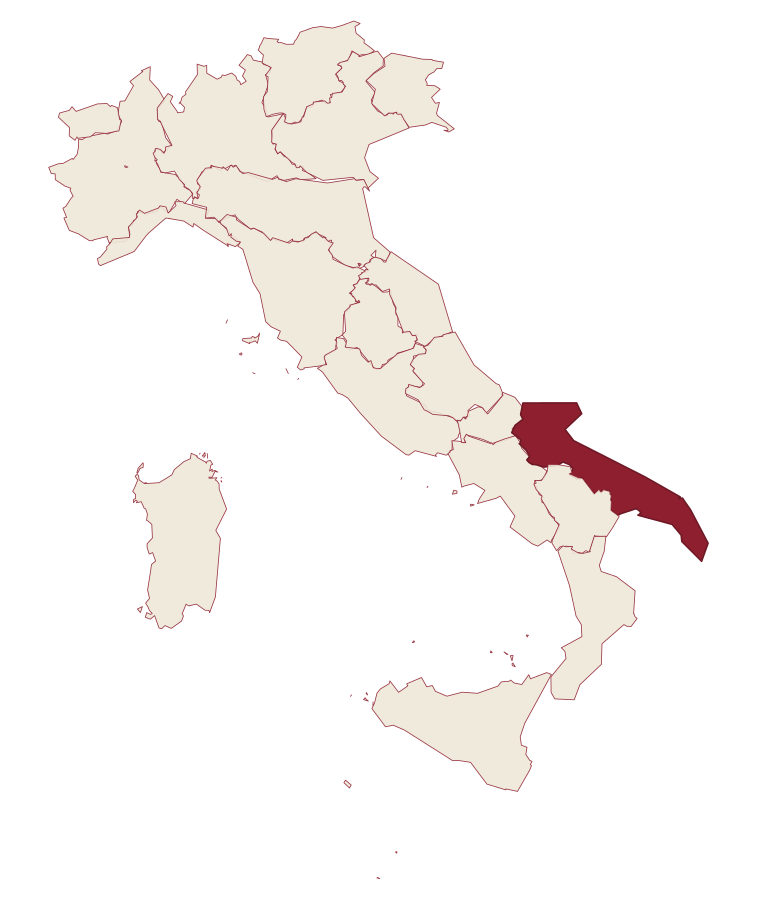
Apulia · Foggia
Pietramontecorvino
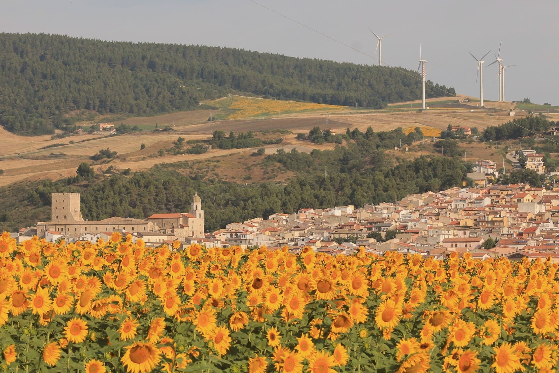
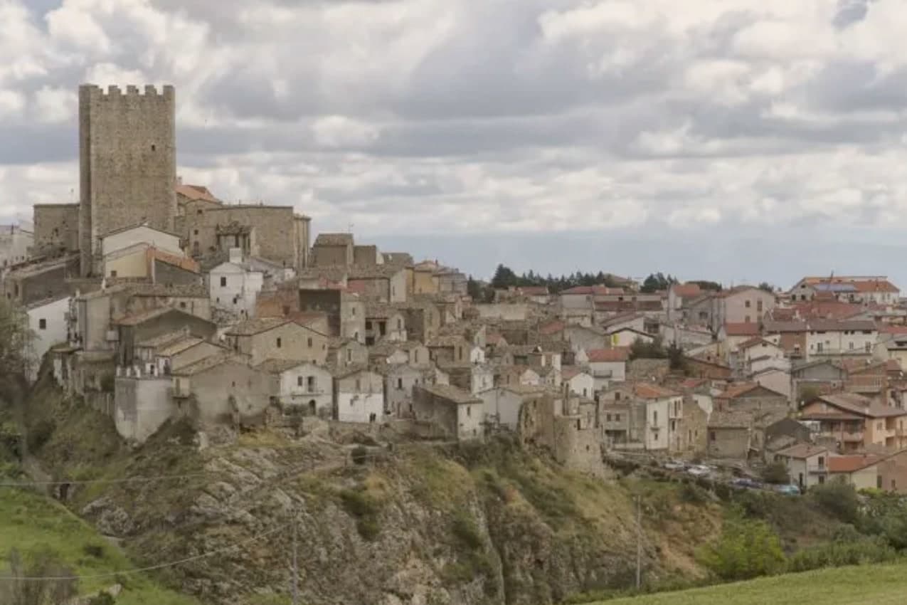
A village on a tufa spur with a 30-meter Norman-Angevin tower and houses carved into the rock.
- Best time
- Apr–Oct
- By car
- 2 h 5 min from Bari
- Population
- 2,460
Known for
NORMAN TOWER
Thirty-meter crenellated tower of the thirteenth century, Frederician watchtower and Angevin noble residence in its successive layers.
ROCK-CARVED HOUSES
Terravecchia tufa quarter, several houses cut directly into the rock face, one of the most intact medieval cores in Puglia.
DOUBLE TIER A
Carries both Borghi più belli d'Italia and Bandiera Arancione, rare top-tier double for a village of 2,500 in the Subappennino Dauno.
When to visit
Best · Apr–Oct
- J11°
- F13°
- M13°
- A17°
- M22°
- J29°
- J32°
- A31°
- S26°
- O21°
- N16°
- D12°
- Best
- Hot or crowded
- Quiet
- Mostly closed
Daytime averages, 2020–2024. Weather data by Open-Meteo.com.
The festa: Alberto da Montecorvino, 30 November
Why come
The village sits on a tufa rock spur above the Guado degli Uncini and the Triolo stream, which feeds the Candelaro. The name of the historic core, Terravecchia, marks it as the older settlement, the ground the village grew from before building spread beyond the spur. The tower and ducal palace sit at the edge of this older quarter, adjoining the mother church, so that the defensive, residential and religious centers of the medieval village stand within reach of one another rather than scattered across it.
The tower's passage through Norman, Swabian and Angevin hands, watchtower under Frederick II and then noble residence under the Angevins, and the palace's dating by coat of arms to the same Anjou period, mean the two structures record the same sequence of rule in stone. What the site adds up to is a village whose defensive and administrative center never moved: tower, palace and church were built adjoining one another on the same spur, and the rock-cut houses of the old quarter grew up around that fixed point rather than apart from it.
The Sunday letter
Pietramontecorvino is on our list. Its letter is still to come.
We are writing about all 1,000 of these towns, one at a time, in a free letter every Sunday: the photo, the food, the festa. That is our mission. Sign up and you will be there when Pietramontecorvino comes up. By Peter & Sophia, from Pietrasanta.
Read on
Pietramontecorvino in our articles
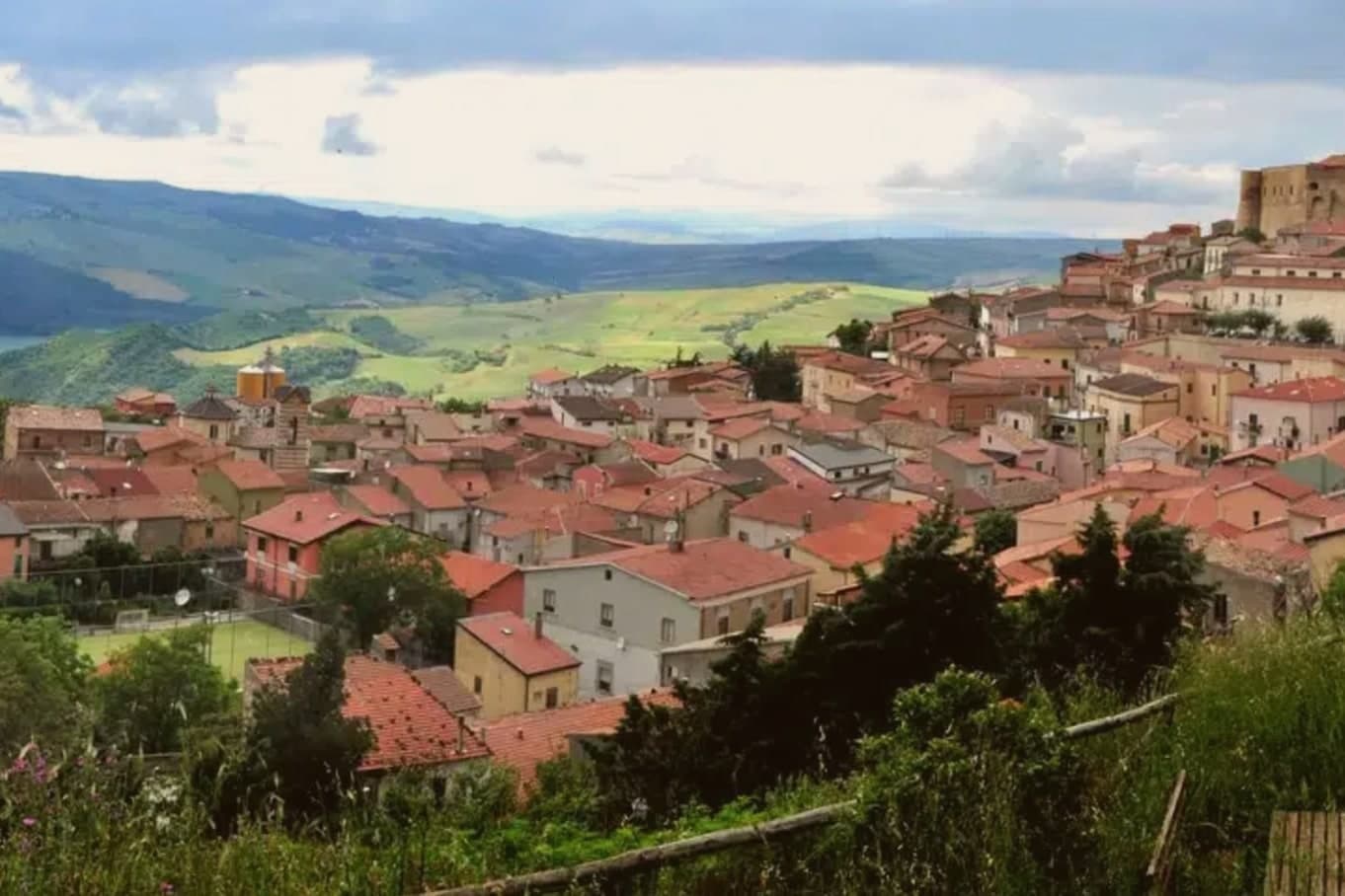
 The best small hill towns in Puglia6 towns, Pietramontecorvino among them.
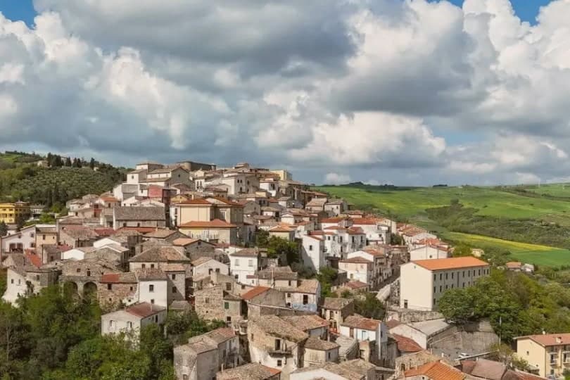
 The prettiest small villages within 90 minutes of Foggia6 towns, Pietramontecorvino among them.
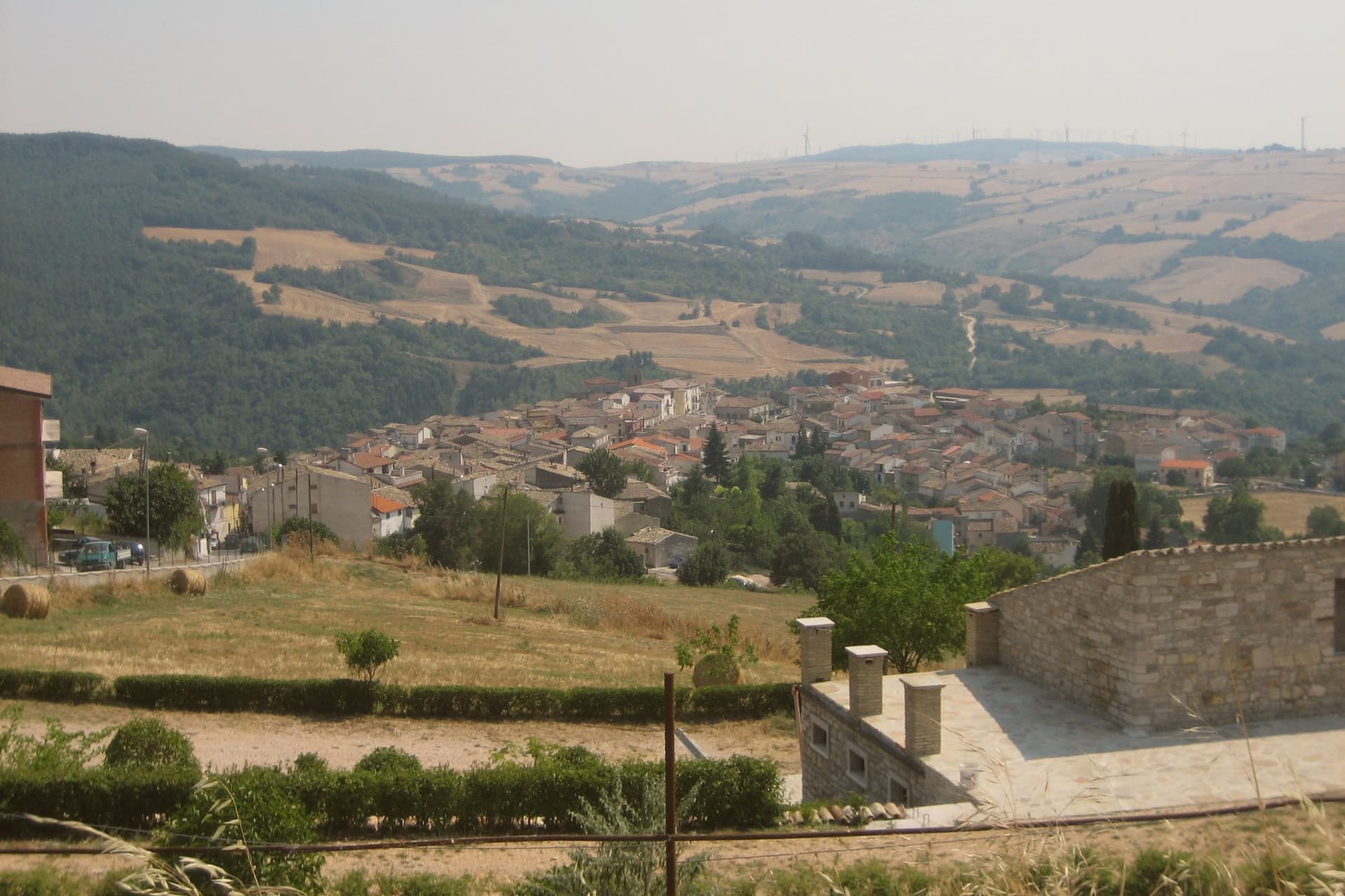
 The best hidden hill towns within 90 minutes of Foggia8 towns, Pietramontecorvino among them.
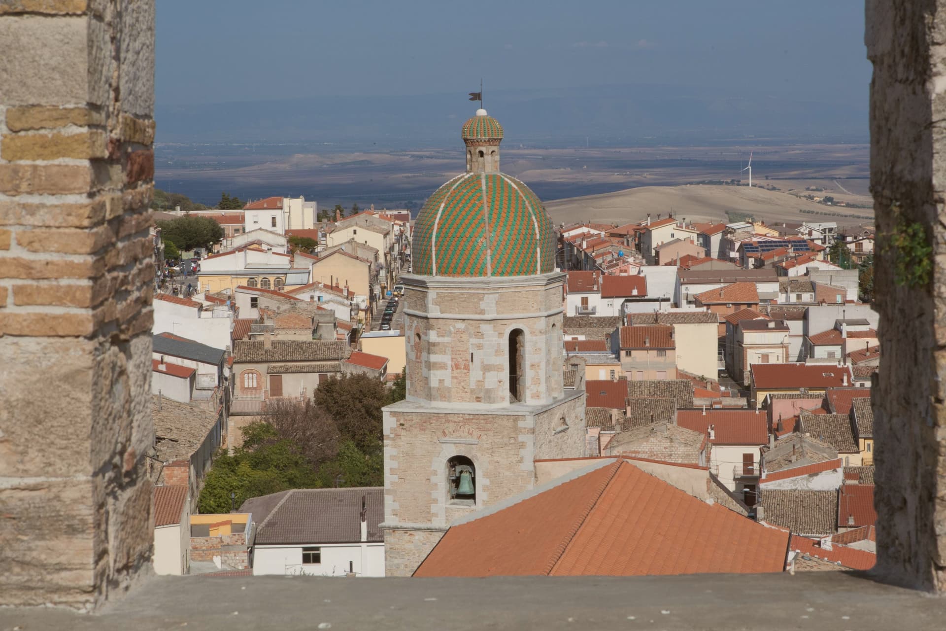
 The prettiest villages within 90 minutes of Foggia9 towns, Pietramontecorvino among them.
How to get there
From Bari / Brindisi (BRI), about 2 hours by car.
Naples / Salerno (NAP) is about 3 hours away.
By car from the centre of Bari 2 hours, Pescara 2h 21m or Salerno 2h 50m.
Coming by train into Foggia? Pietramontecorvino is about 40 minutes away by road.
What to see
Torre Normanna
The tower rises over the ducal complex with mullioned windows, a balcony and a crenellated terrace added when the Angevins converted it to a residence. It stands at the point where the rock spur is narrowest, visible before the rest of the village comes into view.
Palazzo Ducale
Three floors around two courtyards, a reception hall and a roof garden, adjoining the tower. A coat of arms on the Ducal Arch dates the building to the Anjou period.
Terravecchia
Tufa-stone dwellings on the spur, some cut so far into the rock that facade and cliff face are the same surface. Streets follow the contour of the outcrop rather than a plan.
Chiesa Madre di Santa Maria Assunta
Mother church adjoining the ducal complex, raised over earlier medieval foundations and rebuilt across the following centuries.
Belvedere
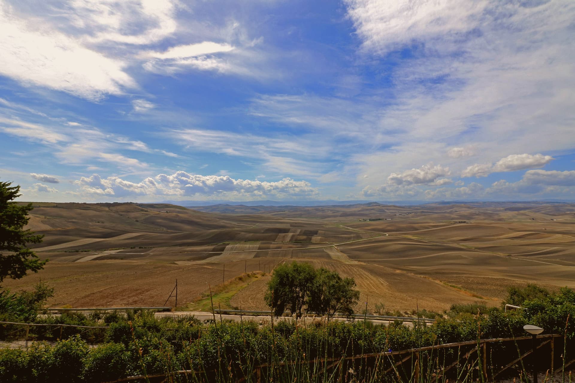
Viewpoint at the upper edge of the old quarter, looking over the Triolo valley to the Subappennino Dauno slopes rolling north toward the Molise border.
The slow-trip planner
Building a trip? Find where Pietramontecorvino fits in a slow Italy circuit.
Answer five questions. We will shape a geographically coherent slow trip from the 1,000 Italian towns most travelers skip. Yours to save and share.
Living here
- Population 2,460
- In-betweeni
- Pharmacy: none mapped
- High school within a 30-minute drive
- Nearest airport Bari / Brindisi, 2 h 2 min drive
- Regional capital Bari, 2 h 5 min drive
Common questions
- What is Pietramontecorvino known for?
- Pietramontecorvino is a village at 456 meters on a tufa spur with a 30-meter Norman-Angevin tower and houses carved into the rock.
- Where is Pietramontecorvino?
- Pietramontecorvino is a comune in the province of Foggia, in Apulia.
- What is the nearest airport to Pietramontecorvino?
- Bari / Brindisi (BRI), about 2 hours by car.
- How long is the drive from Bari to Pietramontecorvino?
- About 2 hours by car.
- When is the best time to visit Pietramontecorvino?
- Best in Apr–Oct. July is the warmest month, averaging 32 degrees, and November the wettest, with about 14 rain days.
- Is there a sagra or a festival in Pietramontecorvino?
- The town keeps its patron saint's day: Alberto da Montecorvino, 30 November.
- Which other towns are like Pietramontecorvino?
- Biccari, Taverna and Montefiore Conca.
- How many people live in Pietramontecorvino?
- 2,460 at the 2023 count.
Tags & datadesignations · numbers · sources
Recognised as
The numbers
- Elevation: 456 m
- Population: 2,460
- Surface area: 71.65 km²
These figures were compiled from public directories: ISTAT, OpenStreetMap and Wikidata, and from the official listings of the guides named on this page. Town details change; verify with official sources before you travel.
Similar
Towns like Pietramontecorvino
Biccari
Province: Foggia
both inland, away from the coast · both under 3,000 people
Taverna
Province: Catanzaro
both inland, away from the coast · both under 3,000 people
Montefiore Conca
Province: Rimini
both inland, away from the coast · both under 3,000 people
Taurasi
Province: Avellino
both inland, away from the coast · both under 3,000 people
San Benedetto Ullano
Province: Cosenza
both inland, away from the coast · both under 3,000 people
Santa Severina
Province: Crotone
both inland, away from the coast · both under 3,000 people
🎨 Borghi più belli d'Italia
More Borghi più belli d'Italia towns in Apulia
Bovino
Province: Foggia
A Daunian Mountains hill town at 646 meters above the Cervaro valley, Roman Vibinum, with a Norman-Swabian castle later turned into a Guevara ducal palace.
Cisternino
Province: Brindisi
An Itria valley borgo on the southern Murgia at 394 meters, whitewashed and looking down over drystone walls and trulli.
Gravina in Puglia
Province: Bari
Puglia's deepest gravina: a Bari-province town of 42,700 built on the lip of a 100m-deep limestone canyon, its cliffs threaded with rupestrian cave churches.
Locorotondo
Province: Bari
The round white town on the Itria valley ridge at 410 meters, with cummerse roofs the rest of Puglia does not have.
Maruggio
Province: Taranto
A fortified Borghi più Belli borgo on a low Ionian hill in Taranto province, built around a Knights of Malta commanderie that ran the Order's southern Italian affairs for six centuries.