
The 9 best hidden hill towns in Veneto
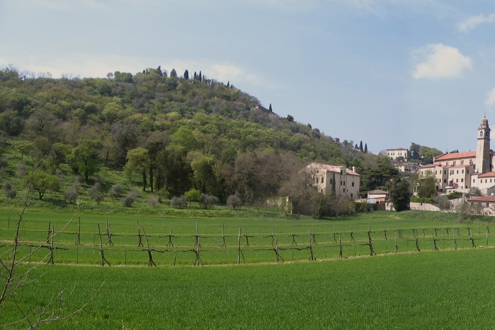
Between the Venetian plain and the first rock of the Alps, Veneto folds into hills that change stone as you cross them. In the Colli Euganei the houses are built from volcanic trachyte, warm grey and pitted, laid into streets too steep for cars to bother with. North of Treviso the ridges of the Prosecco hills rise and drop in short green waves, vines pinned to slopes that have to be worked by hand, and the food follows the ground: sopressa, radicchio from the winter fields, spit-roasted meat, cheese aged in old barrel houses. West, above Verona, the Valpolicella terraces hold Corvina grapes that get dried through the autumn for Amarone. September through November is the season the whole thing was built for, when the fog sits in the valleys until midday and the cellars are open.
People come to Veneto and go to Venice, which is right and also the reason the region reads as a single crowded thing. The lagoon takes the cruise traffic, the day queues at the Basilica, the hotel prices; Verona takes the opera season and the balcony. Both are worth the time they ask for. But the visitor who books a Venice week rarely rents a car, and the hills an hour inland stay outside the itinerary entirely, which is a matter of logistics rather than merit.
The vines and the trachyte do not stop where the guidebooks do. The same Prosecco ridge that carries the wine road keeps going into valleys with abbeys, mill streams and a castle or two, and the Valpolicella slopes climb into stone villages well above the estates that ship abroad. These are the smaller hill towns of Veneto, on ground too steep to spread, where the medieval street plan survived because nothing could be widened. Fewer people go, and most of them are Italian.
Of the 41 communes we have mapped in Veneto, 11 qualify as hill towns: each is an inland hill settlement built on ground too steep to spread. This list is the hidden ones, 9 in all, ordered smallest first. The smallest, Arquà Petrarca, has 1,810 residents.
Elsewhere in the catalogue: The best hill towns within 90 minutes of Padua and The best hill towns with a serious restaurant in Veneto.
Arquà Petrarca
Why visit Arquà Petrarca
Arquà sits between Monte Ventolone and Monte Castello, in the Euganean Hills south of Padova. The name dates to medieval records; the suffix Petrarca was added in 1868, after the Veneto's annexation to the Kingdom of Italy, as a public homage to the poet who chose to die here.
Francesco Petrarca arrived in 1370 and lived in a thirteenth-century house he renovated himself across two stories, the Casa del Petrarca, now a museum with frescoes from the fifteenth and sixteenth centuries. He died at his desk on the night of 18-19 July 1374.
His tomb, an ark in red Verona marble inspired by Roman sarcophagi, was placed in the churchyard of Santa Maria Assunta in 1380 and reset in 1965. The village kept its medieval layout: two piazzas linked by a stepped path, the Casa above and the church and tomb below.
The hills around it grow Colli Euganei DOC wine, olives, and the giuggiole that go into the local liqueur Brodo di Giuggiole.
What to see in Arquà Petrarca
- Casa di Francesco Petrarca. The poet's thirteenth-century house, renovated by him on two floors and now a museum with frescoes added by later owners in the fifteenth and sixteenth centuries.
- Tomba di Petrarca. Sarcophagus in red Verona marble in the churchyard of Santa Maria Assunta, placed in 1380, six years after the poet's death.
- Chiesa di Santa Maria Assunta. Parish church first documented in 1026, enlarged through the centuries, with frescoes of the Venetian-Byzantine school up to the fifteenth century.
How to get to Arquà Petrarca
There is a railway station in the town, so you can arrive without a car and never need one while you are here. Padova is roughly 28 minutes away by road.
Our tip
April through June and September through October are the months Arquà is built for. The hills are green in spring and gold in autumn; the slope from Piazza Roma down to the church is comfortable walking weather. July and August push past thirty degrees and the village empties between two and six, though Padova day-trippers still arrive in the late afternoon.
Cison di Valmarino
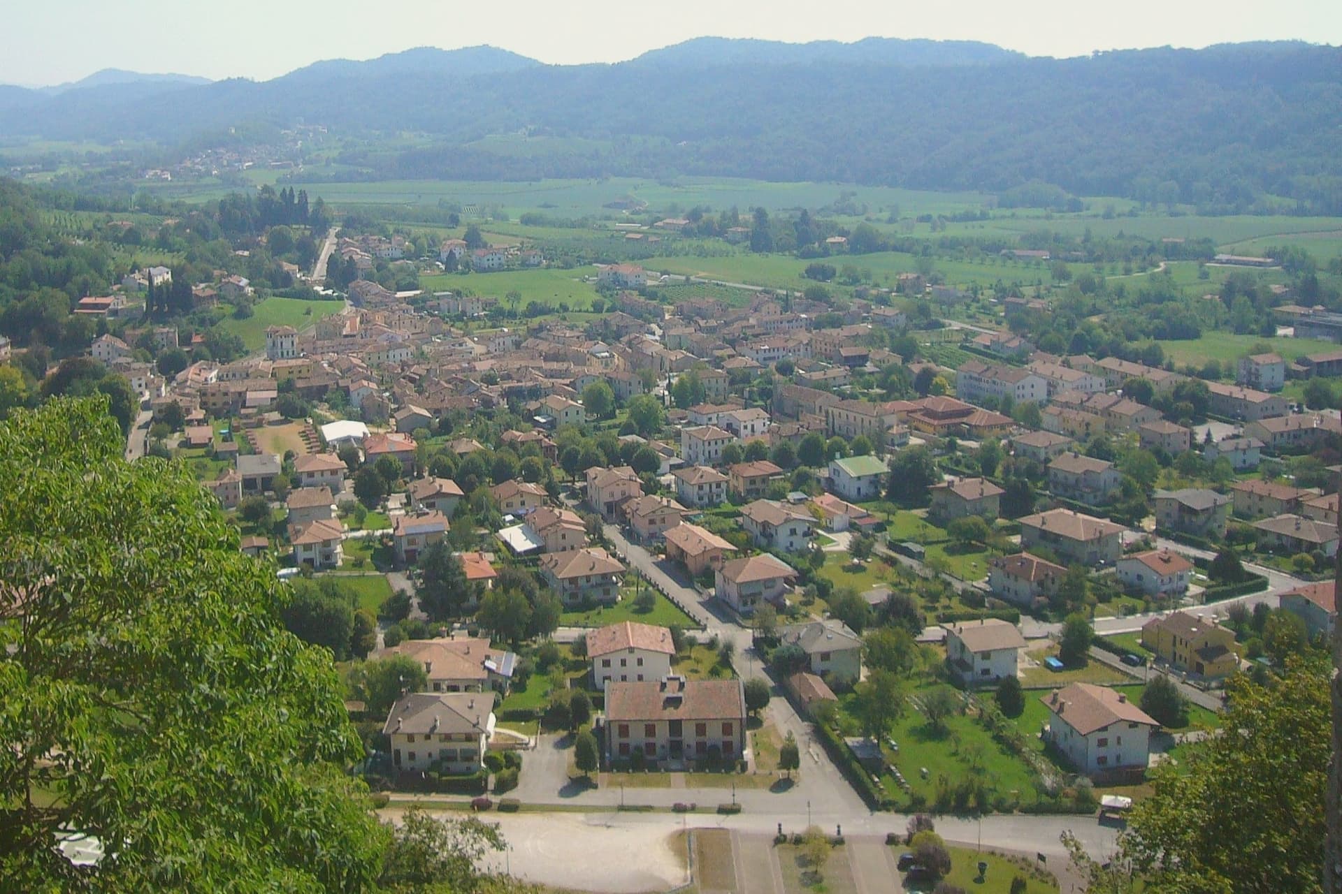
Why visit Cison di Valmarino
Cison di Valmarino sits at 261 meters at the foot of CastelBrando, the medieval fortress that rises 370 meters above the village on a dolomite spur. The castle is one of the largest in Europe, with origins as a Roman watch post on the Via Claudia Augusta and an unbroken occupation that runs through the Da Camino, the Brandolini, and into the present-day hotel and conference complex that opened in the 1990s.
The borgo below kept the layout the Brandolini gave it after they took the fief from Venice in 1436. Via XXIV Maggio runs through stone houses with arched portals; Piazza Roma holds the eighteenth-century Loggia.
The municipal territory carries four institutional signals at once, the maximum cluster in the eastern Prosecco hills, and the parish church of Santa Maria Assunta anchors the upper village. The Artigianato Vivo fair fills the streets for ten days each August, with around three hundred craft stalls drawing fifty thousand visitors and ranking among the largest artisanal events in Veneto.
What to see in Cison di Valmarino
- CastelBrando. Medieval fortress on a dolomite rock at 370 meters above the village, with Roman foundations and continuous occupation, now hotel and conference center.
- Piazza Roma. Main square of the borgo with the eighteenth-century Loggia and the Palazzo Barbi, the historic seat of municipal administration.
- Chiesa di Santa Maria Assunta. Parish church in the upper village, rebuilt in the eighteenth century on an earlier medieval structure, with frescoes from the Tiepolo school.
How to get to Cison di Valmarino
Venezia is roughly 79 minutes away by road.
Our tip
April through October is the working window. April and May fill the hills with green and the Prosecco vineyards with flowering vines; September and October bring harvest and the gold light the Rive di Rolle hamlet has built its reputation on. The Artigianato Vivo runs the second and third weeks of August, with around 300 stalls along Via XXIV Maggio and parking for the surrounding villages used to capacity.
Follina
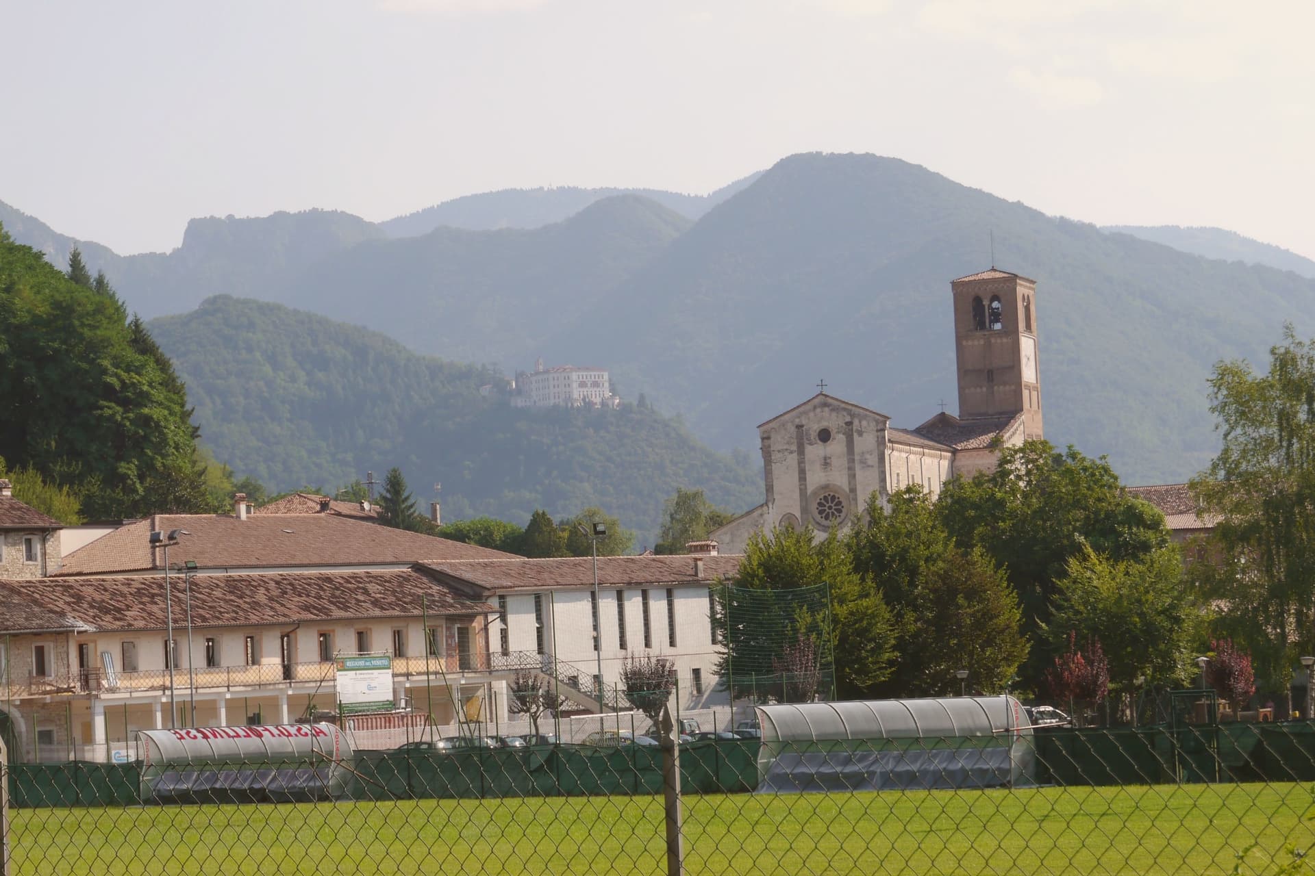
Why visit Follina
Follina sits at 191 meters where a stream cuts out of the Treviso Prealps into the upper Prosecco hills, sixty-five kilometers northwest of Padova. The name comes from follare, to full wool, and the Sanavalle stream powered fulling mills here from antiquity through the nineteenth century.
A monastic complex existed before the Cistercians arrived in the mid-twelfth century, likely a Benedictine house dependent on San Fermo di Verona. The Cistercians built the Abbey of Santa Maria from 1170; the cloister was completed in 1268.
The abbey is now a minor basilica and parish seat, a national monument since 1921, with frescoes of the Veneto-Byzantine school in the chapter house and a thirteenth-century stone Madonna inside the church. The Brandolini family, lords of nearby Cison di Valmarino, used Follina as a textile center through the Venetian period.
The borgo carries five institutional signals at once. The frazione of Pedeguarda holds the older parish church; the centro of Follina runs along the abbey wall and the stream that powered the mills.
What to see in Follina
- Abbazia di Santa Maria. Cistercian abbey built from 1170, with the cloister completed in 1268, raised to minor basilica and a national monument since 1921.
- Chiostro dell'Abbazia. Cistercian cloister of 1268, with twin colonnettes, sculpted capitals and a central well, intact in its medieval form.
- Sala del Capitolo. Abbey chapter house with frescoes of the Veneto-Byzantine school from the late thirteenth and early fourteenth centuries.
How to get to Follina
Venezia is roughly 73 minutes away by road.
Our tip
April through October is the working season. April and May bring the abbey gardens into bloom and the Prosecco hills into green; September and October bring harvest and the gold light the Rive belt is built on. July and August push into the low thirties and the centro empties in the afternoon, though the cloister stays cool.
Farra di Soligo
Why visit Farra di Soligo
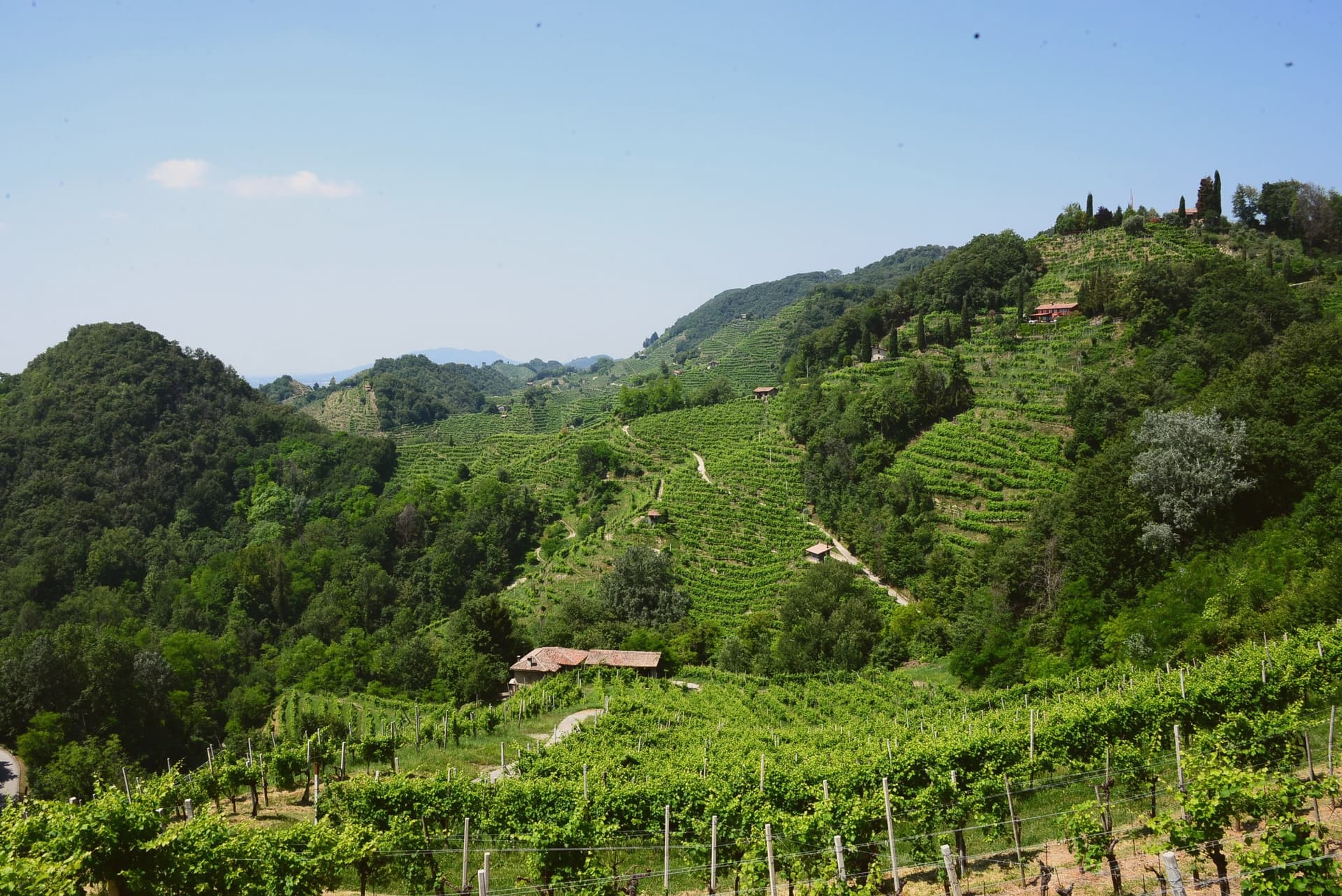
The Conegliano-Valdobbiadene Prosecco Hills take their local name, rive, from the steep hogback ridges that corrugate the landscape, terraced by hand over more than a thousand years and planted almost entirely to Glera. The whole landscape was inscribed as 'Le Colline del Prosecco di Conegliano e Valdobbiadene' in 2019, recognizing both the vineyard cultivation system and the long history of hillside terracing behind it.
Farra di Soligo sits at the literal centre of this territory, one of 15 comuni inside the inscribed area, an 8,477-resident commune at 161m altitude positioned between Conegliano (10 km east) and Valdobbiadene (5 km west), with the most-photographed stretch of the rive running through its own ground. Soligo, the frazione that gives the comune its name, holds the hilltop site of the triple watchtower ensemble above it, reached by marked paths climbing directly from the village rather than by road.
Beyond the towers and the vineyards, the territory holds two Romanesque parish churches, one in Farra itself with its campanile standing detached from the main body, another at Col San Martino with later frescoes added to its 12th-century fabric, and a working wooden watermill on the Lierza river, its wheel still turning, the photogenic centrepiece of a Sunday walking circuit that closes vineyard roads to cars between April and October. The Cistercian abbey at Follina extends the same religious-medieval layer 4 km to the southeast, ranking among the more important monastic ensembles in the Veneto.
The comune also carries the Cittaslow and Città del Vino marks alongside the UNESCO inscription, a rare triple signal for a town this size. Wine production runs through all of it: over 200 producers work the DOCG zone across the comune and its immediate neighbours, making the extra-dry Prosecco Superiore, the dry Cartizze grand-cru, and the rarer col fondo, unfiltered and naturally cloudy, the traditional version before the modern method took over.
Food follows the same prealpine register: spaghetti with duck ragù, baccalà alla vicentina, formaggio di Malga, tiramisù, invented 30 km south at Treviso. The Festa del Vino in May and the Sagra dell'Uva in October mark the calendar's two fixed points.
What holds the place together is the terracing itself: a landscape shaped by a single, continuous agricultural practice long enough that the medieval towers, the parish churches, and the working mill all read as features of one worked hillside rather than separate monuments set into it.
What to see in Farra di Soligo
- Conegliano-Valdobbiadene Prosecco Hills (UNESCO). The corrugated rive landscape of steep hogback ridges with Glera vineyards, inscribed as UNESCO World Heritage in 2019. Farra sits centrally in the inscribed area, with the most-photographed stretch running through its territory.
- Torri di Credazzo. The towers stand above Soligo, a frazione of Farra, reached by marked paths climbing from the village itself rather than by road.
- Molinetto della Croda. The mill's wheel still turns on the Lierza river, its wooden works exposed to view. It anchors the Rive Vive walking route, when vineyard roads nearby close to cars.
How to get to Farra di Soligo
Venezia is roughly 68 minutes away by road.
Our tip
Farra di Soligo is best April–June and September–October. The Rive Vive Sunday walks (April-October) close vineyard roads to cars and open them to cellar-hopping walkers — the signature local activity. October is harvest; the air smells of fermentation across the whole comune.
Asolo
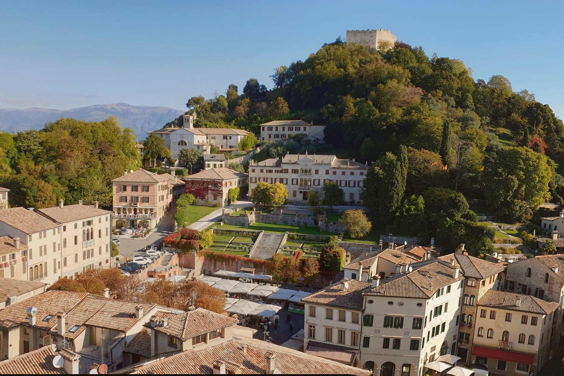
Why visit Asolo
Asolo perches at 205 meters on a ridge between the Asolan hills and the Veneto plain, forty kilometers north of Padova. Pliny knew it as Acelum.
The Ezzelini family held it in the early Middle Ages; the Rocca on the hill above town dates from the late twelfth and early thirteenth centuries and was restored in 2020 after a 2016 storm damaged the walls. The defining episode came in 1489, when the Republic of Venice gave Asolo as a fiefdom to Caterina Cornaro, the deposed Queen of Cyprus, in exchange for her island.
She kept a court here for twenty years until the League of Cambrai sacked the town in 1509. Her circle included Gentile Bellini, the humanist Pietro Bembo and the poet Andrea Navagero.
Robert Browning wintered in a villa here from 1838 onward, and the actress Eleonora Duse retired to Asolo and is buried in the local cemetery. The town carries six institutional signals at once.
What to see in Asolo
- Rocca di Asolo. Late twelfth and early thirteenth-century fortress on the hill above the town, restored in 2020 with €300,000 in ministry funding.
- Castello di Caterina Cornaro. Medieval castle in the town, court of the Queen of Cyprus from 1489 to 1509, now home to the Eleonora Duse theater.
- Duomo di Asolo. Cathedral rebuilt in 1747 with an Assunta altarpiece by Lorenzo Lotto, standing on the foundations of a Roman bath complex.
How to get to Asolo
Vicenza is roughly 57 minutes away by road.
Our tip
April through June and September through October are the right months. The ridge stays a few degrees cooler than the plain, and the views north to Monte Grappa are clearest in spring and autumn. July and August are warm and busy; weekend traffic from Venice and Padova fills the Piazza Garibaldi car park by ten.
Valdobbiadene
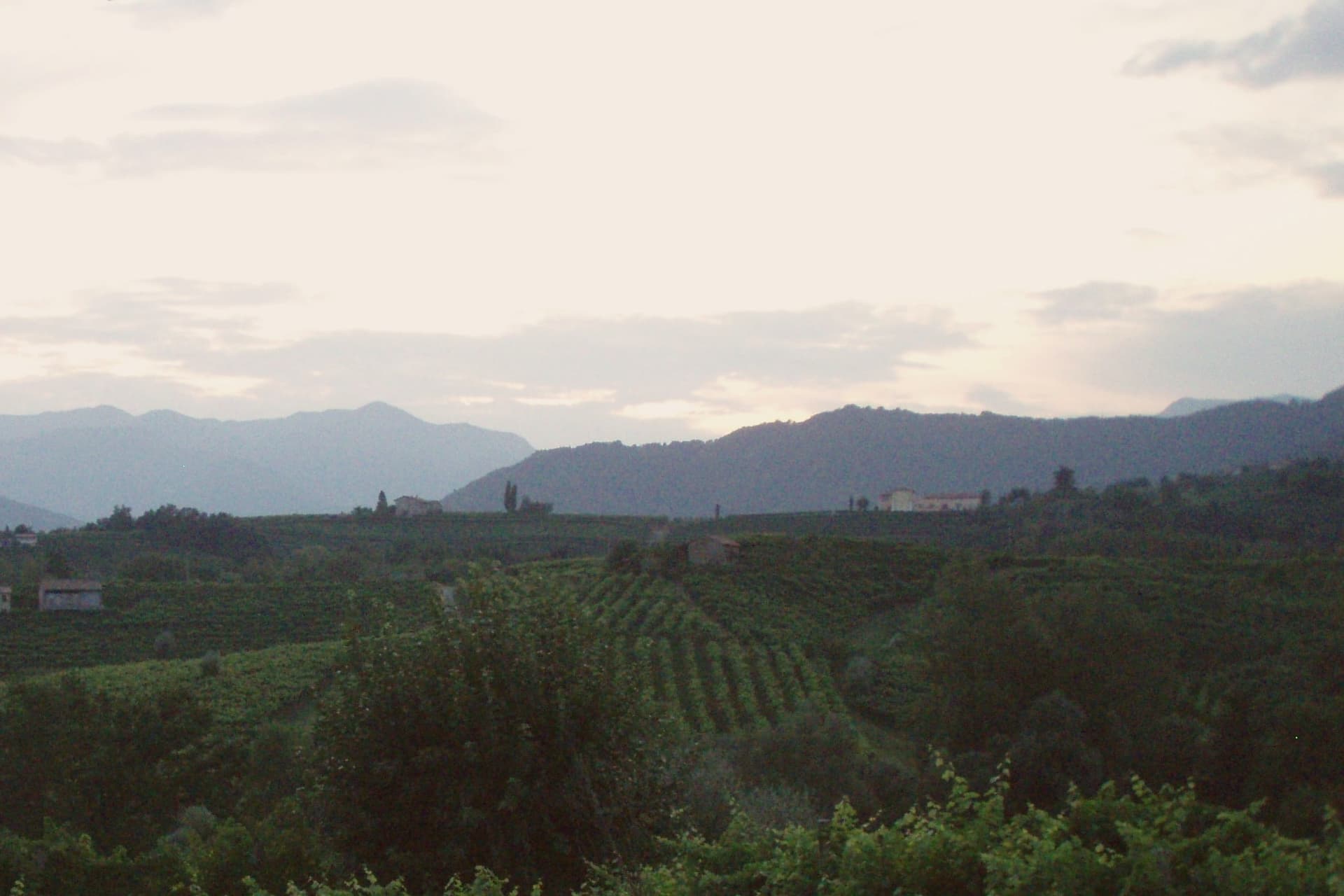
Why visit Valdobbiadene
Valdobbiadene sits at 253 meters in the Treviso Prealps, fifty-five kilometers northwest of Venice, on the western edge of the Conegliano-Valdobbiadene UNESCO landscape inscribed in 2019. The town gives its name to the Conegliano Valdobbiadene Prosecco Superiore DOCG, and its own centro storico sits above a cluster of frazioni, among them the hilltop parcel that ranks as the zone's peak cru and the hamlet of Colderove with its sixteenth-century church.
Producers work these slopes on a shared calendar: the Antica Fiera di San Gregorio opens the working year on the second Monday of March, Villa dei Cedri hosts its own DOCG exhibition each spring, and cellar doors along the signed wine route stay open through the warm months as the harvest advances. The rhythm of the town follows the vine from one edge of the appellation to the other, with the hilltop parcel standing as the point the whole zone is measured against.
What to see in Valdobbiadene
- Cartizze. Rocky, south-facing hilltop with vineyards from 200 to 350 meters, worked in classified parcels above San Pietro di Barbozza.
- Duomo di Santa Maria Assunta. Neoclassical cathedral on Piazza Marconi, the civic anchor of the centro storico.
- Villa dei Cedri. Nineteenth-century villa and park at the foot of the centro storico, host of the Mostra del Cartizze e Valdobbiadene DOCG each spring.
How to get to Valdobbiadene
Venezia is roughly 85 minutes away by road.
Our tip
April through October is the working season. April and May bring vine flowering on the Cartizze and the Rive parcels and the Mostra del Cartizze opens at Villa dei Cedri in late April. June through August pushes into the low thirties on the lower slopes; the hilltop parcels stay cooler with the breeze off the Prealps. Mostra del Vin col Fondo a Valdobbiadone falls in July.
Pieve di Soligo
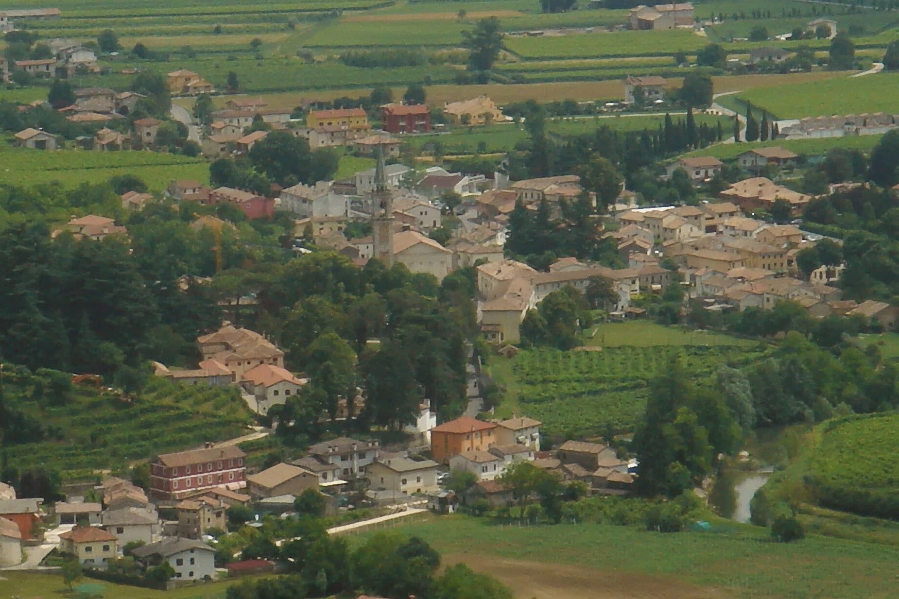
Why visit Pieve di Soligo
Pieve di Soligo sits at 132 meters, fifty-five kilometers north of Venice, where the Soligo and Lierza rivers meet on the commune's flat valley floor. The territory splits roughly two-thirds level ground to one-third hillside, the lower edge of a hogback landscape that rises toward the vineyard slopes to the north.
The market town occupies the flat stretch between the two watercourses; the upper village, where the old paved street of Cal Santa runs, sits apart from the newer centro that has grown around the cathedral and its campanile. An eighteenth-century country estate on the edge of town, with Venetian stuccoes and a private chapel, now serves an administrative function tied to the wine that covers the northern hills, while the Solighetto frazione keeps its own smaller eighteenth-century parish church, campanile detached from the nave, with a garden that shares the Brandolini name.
The poet born and later died in the town gave his late work a mapped version of the upper village, renaming its street in verse. Between the rivers below and the vineyard hills above, the commune reads as a working valley floor with a market town at its center, its administrative reach over regional wine production and its literary claim both rooted in the same small geography.
What to see in Pieve di Soligo
- Villa Brandolini. Eighteenth-century country estate with Venetian stucco interiors and a private chapel, now headquarters of the Consorzio di Tutela del Prosecco Superiore DOCG.
- Duomo di Santa Maria Assunta. Neo-Romanesque cathedral with neo-Gothic elements designed by Domenico Rupolo, consecrated in 1924, with a 75-meter campanile over the centro.
- Colline del Prosecco. UNESCO World Heritage hogback hills on the northern edge of the commune, inscribed in 2019, with Prosecco Superiore DOCG vineyards between 150 and 300 meters.
How to get to Pieve di Soligo
Venezia is roughly 64 minutes away by road.
Our tip
April through June and September through October are the working months for Pieve di Soligo. The vineyards open in spring with the Primavera del Prosecco events from March through June, and the harvest from late August into October keeps the town busy. The Premio Pieve Zanzotto poetry prize runs in October. Pieve di Sera falls in July.
Sant'Ambrogio di Valpolicella
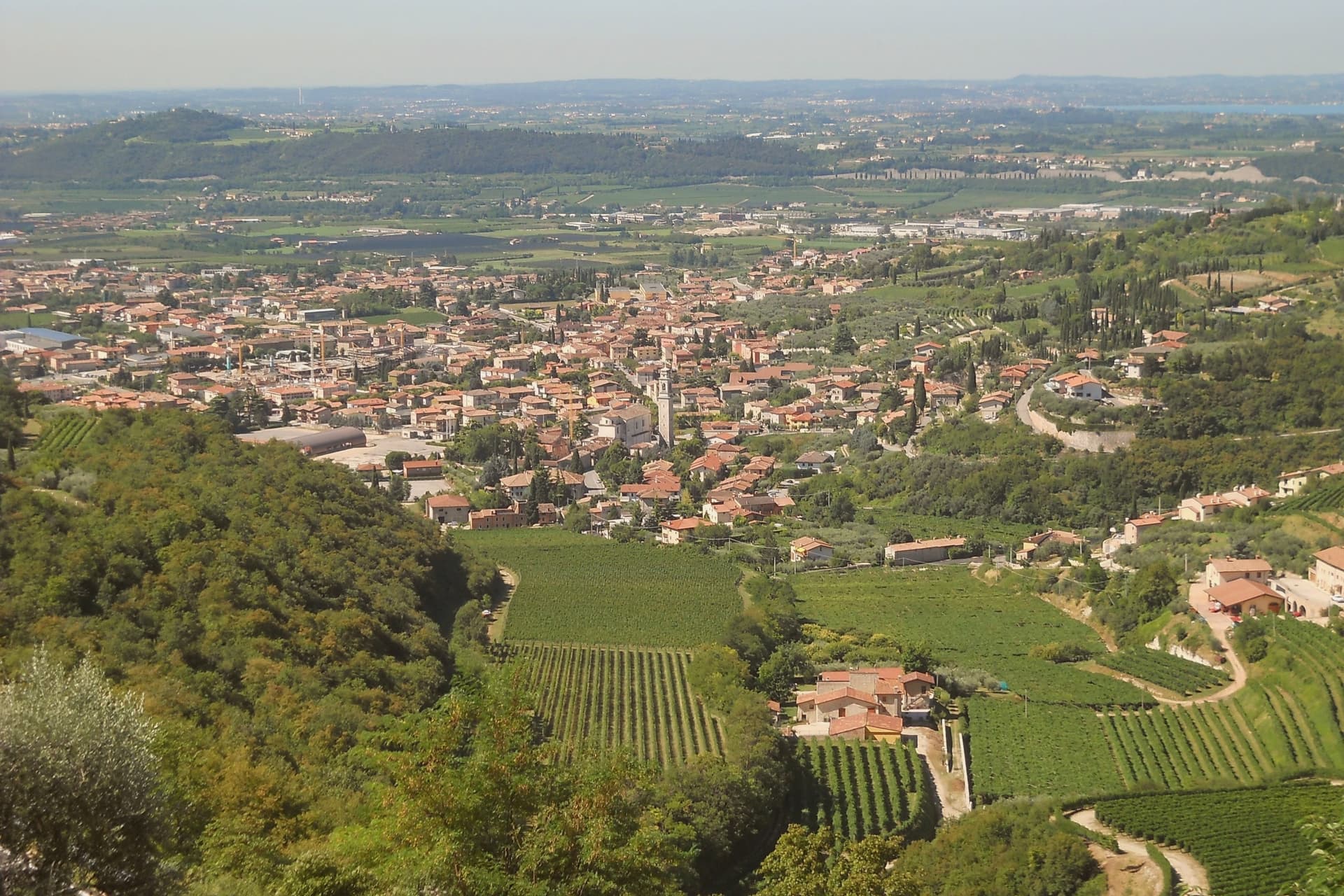
Why visit Sant'Ambrogio di Valpolicella
Sant'Ambrogio di Valpolicella sits at 174 meters in the heart of the Valpolicella DOC, fifteen kilometers northwest of Verona, on the rolling hills that close the eastern shore of Lake Garda. The commune groups five frazioni around the main village: Domegliara, Gargagnago, Monte, Ponton and the ridge settlement above them.
Gargagnago sits at the foot of the hills, its cellars closest to the valley floor; the ridge frazione occupies the higher limestone ground, reached by a climb steep enough to have earned the church its nickname. Between them the Serego Alighieri estate has worked the same parcels since Pietro Alighieri, son of Dante the poet who had followed his father into exile in Verona, bought the property in 1353, and the family still grows Corvina, Rondinella and Molinara there, with the Vaio Armaron Amarone counted among the appellation's cru benchmarks.
The pattern of the commune is one of a valley economy and a hill economy sharing a single administrative roof: wine pressed and aged below, an older, stiller settlement kept above it, with the quarries that once supplied Verona still worked on the slopes that join the two.
What to see in Sant'Ambrogio di Valpolicella
- Pieve di San Giorgio Ingannapoltron. Romanesque parish church whose ciborium columns carry an inscription naming the master builder Orso and his disciples Juventino and Juviano.
- San Giorgio di Valpolicella. Frazione on the limestone ridge above the valley, in the Borghi più belli d'Italia network, nicknamed Ingannapoltron for the steep climb up to it.
- Villa Serego Alighieri. Estate still owned by the Alighieri descendants; produces Vaio Armaron Amarone from Corvina, Rondinella and Molinara grown on the same parcels the family has worked.
How to get to Sant'Ambrogio di Valpolicella
There is a railway station in the town, so you can arrive without a car and never need one while you are here. Verona is roughly 34 minutes away by road.
Our tip
April through June and September through October are the months for Valpolicella. The vineyards green up in spring, harvest runs from mid-September into October, and the appassimento drying begins in the cellars while the leaves turn. July and August push past thirty degrees in the valley and the village empties between two and six in the afternoon; cellar visits move to morning slots.
Marostica
Why visit Marostica
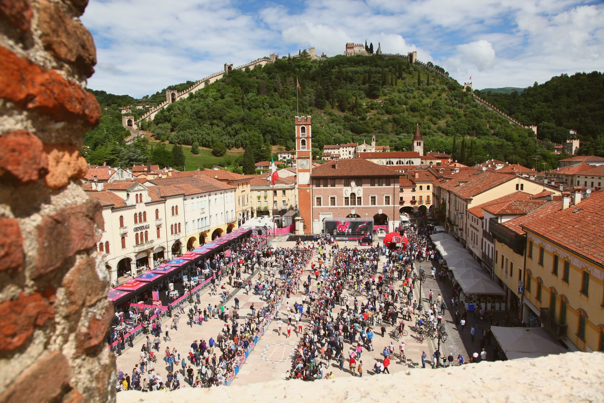
Marostica sits at 103 meters at the foot of the Asolan hills, forty-five kilometers northwest of Padova. Cangrande della Scala took the town in 1311, building his lower fortress on the plain and a second stronghold on the hill above it, then joining the two with a wall long enough to carry two dozen towers and four gates between them.
The arrangement is unusual: most walled towns fortify a single point, but here the defense runs uphill, turning the slope itself into the connecting structure between plain and ridge. The upper stronghold did not survive the artillery of the War of the League of Cambrai in 1510 and has stood as a ruin since, while the lower one remained inhabited and working, which is why the town's public life, its square, its church, its chess board, still gathers at the base of the hill rather than at its summit.
The cherries grown on the slopes to the north, since given IGP status, are the one product of the surrounding land that made it into the local kitchen as the crostata. What the town amounts to is a fortification that never stopped being a town: the walls did not seal Marostica off from its hillside, they organized it, and the square where the chess is played twice a decade sits exactly where the two castles' lines of sight once met.
What to see in Marostica
- Castello Inferiore. Built from 1311 on Piazza Castello, its keep rising 44 meters over the square, with a museum inside on the chess match traditions.
- Castello Superiore. Ruined by Venetian artillery in 1510, standing on Monte Pausolino and reached by a footpath through the walls, with views over the Brenta valley.
- Mura di Marostica. Fourteenth-century walls running two kilometers between the two castles, with twenty-four towers and four gates; the parapet walk is open to the public.
How to get to Marostica
Vicenza is roughly 43 minutes away by road.
Our tip
April through June and September through October are the working months. The cherry harvest runs from late May to mid-June and the orchards on the lower slopes of the Asolan hills mark the season; the Mostra delle Ciliegie in early June is the major spring event. The Partita a Scacchi falls on the second weekend of September in even-numbered years and books the town a year ahead.
More from Anywhere Italy
 The best hill towns within 90 minutes of Padua
- The best hill towns with a serious restaurant in Veneto
- The best hill towns in the province of Treviso
- The 7 best hidden towns with a World Heritage site in Veneto
- The best hidden hill towns within 90 minutes of Venezia
- The best hill towns within 75 minutes of Venice