
The 8 best hidden towns you can reach by train in Trentino-Alto Adige/Südtirol
Trentino-Alto Adige is one of the few parts of Italy where the train is the sensible way to travel. Narrow valleys funnel the lines along river floors, so the railway passes under the same limestone walls the roads do, and the stations sit inside the villages rather than out among the car parks. The building material changes as you go north, stone and stucco giving way to painted arcades, wooden balconies and onion-domed church towers. Food changes with it: canederli and speck and barley soup in the German-speaking valleys, polenta and apple strudel and Lagrein further south. Late spring brings meadow flowers and open Alpine huts, autumn brings Törggelen, new wine and roast chestnuts in the vineyard inns.
paragraphs are separate so this stays here: the crowded thing
Almost everyone comes for the Dolomites, and specifically for Cortina d'Ampezzo and the lakes and passes around it, Lago di Braies above all. The photographs have done their work, and in July and August the shuttle buses to the lake run full and the shore path moves at walking-pace crowd speed. Bolzano and Merano absorb most of the rest, one for the museum with the ice mummy in it, the other for the spa and the promenades. All of it is worth seeing, and all of it is busy in the obvious months.
Of the 33 communes we have mapped in Trentino-Alto Adige/Südtirol, 13 qualify as towns you can reach by train: we have confirmed each is reachable without a car. This list is the hidden ones, 8 in all, ordered smallest first. The smallest, Glurns, has 937 residents.
Elsewhere in the catalogue: The best mountain towns you can reach by train in Trentino-Alto Adige/Südtirol and The 9 best towns you can reach by train that eat well in Trentino-Alto Adige/Südtirol.
Glurns
Why visit Glurns
The town sits at 907 metres in the upper valley, twenty minutes by car from both the Austrian and Swiss borders, on the Adige river at the southern entrance to the national park. City status was awarded by Emperor Henry of Bohemia in 1304, an honor that has stayed attached to the place ever since even as the population inside the walls stayed under a thousand.
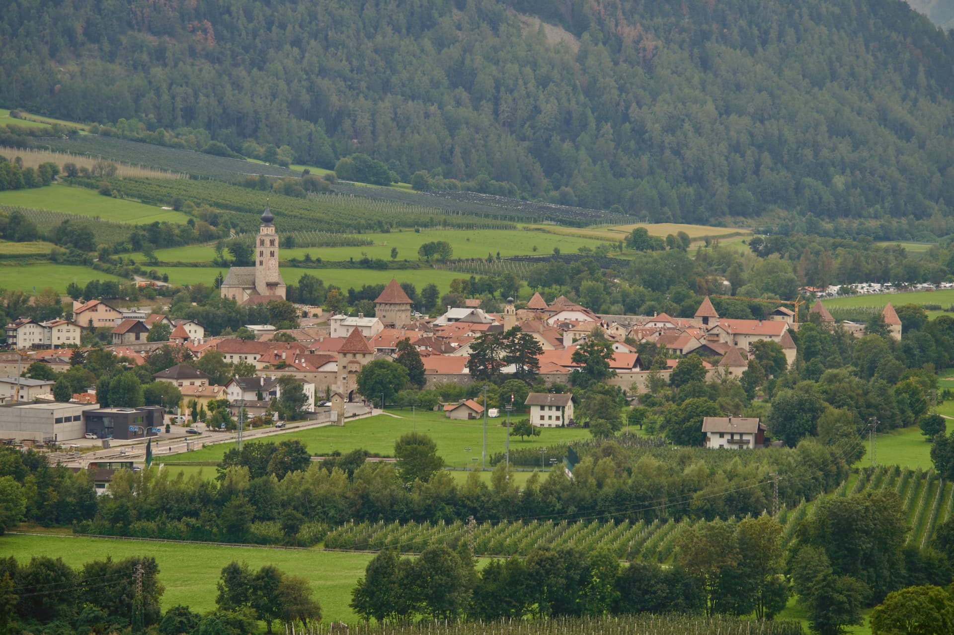
After the Battle of Calven in 1499, the Habsburgs under Emperor Maximilian I rebuilt the town as a bulwark against the forces of the Three Leagues of Graubünden, and it is that rebuilding which produced the fortification standing today. The walled core and the church outside it mark the two halves of the town: the streets and Lauben arcades, paved in cobble, enclosed within the ring of walls, and the parish church standing apart on the riverbank, holding its own late Gothic frescoes away from the defended center.
A city built for defense against the Three Leagues of Graubünden still reads, in its layout, as a place organized entirely around the line where the walls stand and the ground just beyond them: the guarded interior on one side, the river and the open approach to the mountains on the other.
We confirmed you can reach this one by train.
What to see in Glurns
- Mura cittadine. Walls built under Emperor Maximilian I after 1499, following the Battle of Calven, as a bulwark against the forces of the Three Leagues of Graubünden. The patrol path still runs continuous along the inside face.
- Centro storico. Walled core of unbroken three-storey Lauben arcades along the two main streets, paved in stone and listed on the Borghi più belli d'Italia.
- Chiesa di San Pancrazio. Parish church just outside the walls on the bank of the Adige, with a Gothic nave and a series of late medieval wall frescoes inside.
How to get to Glurns
There is a railway station in the town, so you can arrive without a car and never need one while you are here. Bolzano is roughly 102 minutes away by road.
Our tip
May through October is the open season in the upper Val Venosta. Late May brings green on the valley floor and the start of the Stelvio Park hiking calendar from Glorenza north. June through September is the busiest period, with the Stelvio passes open, the Adige cycle path running from Resia south, and Glorenza markets under the arcades on Tuesdays and Fridays.
Fortezza
Why visit Fortezza
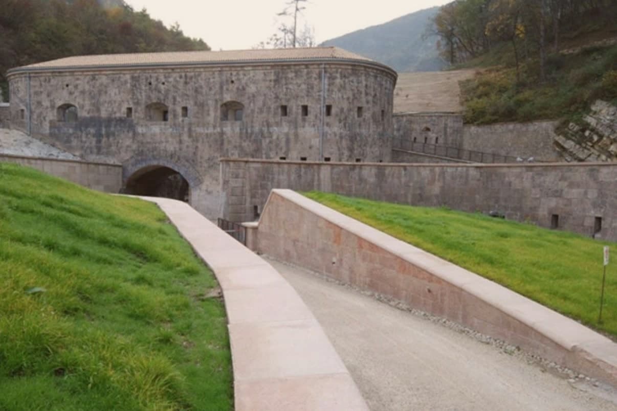
Fortezza sits at 750 metres in the Isarco/Eisack valley, on the trunk railway line between Bolzano/Bozen and the Brenner pass. The narrows here mark the point where the Pusteria valley joins the main Isarco corridor running north to Innsbruck, which is what drew Austria-Hungary to fortify the site and what still gives the village its railway junction today.
The fortress was designed by Franz von Scholl on direct orders from Emperor Francis I, whose name it carries in German as Franzensfeste. After 1918 it passed to the Italian army.
The village below is small, under 1,100 residents, predominantly German-speaking, built around a single main square, the railway station, and the parish church at its core. The cycle path running through on its way east to San Candido/Innichen keeps the fortress in view for kilometres, a reminder that the settlement below has always been the smaller, later counterpart to the works above it: the valley junction made the place strategically necessary, and the fortress built to hold it is still what the village is organised around.
We confirmed you can reach this one by train.
What to see in Fortezza
- Forte di Fortezza / Franzensfeste. A 65-hectare complex of three connected forts on opposite banks of the river, built to defend the Isarco/Pusteria junction. Now a permanent exhibition site, with a programme covering the architecture and history of the Habsburg defence system and a run as Manifesta biennial venue in 2008.
- Stazione di Fortezza/Franzensfeste. A stone station building from 1867, still in active use, marking the point where the Pusteria branch leaves the main Brenner line.
- Parrocchia di Sant'Eligio (St. Eligius). A parish church from 1820 on the village square, the centre of the small German-speaking community before the fortress above it existed.
How to get to Fortezza
There is a railway station in the town, so you can arrive without a car and never need one while you are here. Bolzano is roughly 105 minutes away by road.
Our tip
May through October is the open season at 750 metres. June and September are the best months — long warm days, the fortress exhibitions running, and the Pusteria cycle path at its most comfortable. July and August fill the Pusteria valley with cycling and family tourism passing through; the fortress is a stop on most regional itineraries.
Caldes
Why visit Caldes
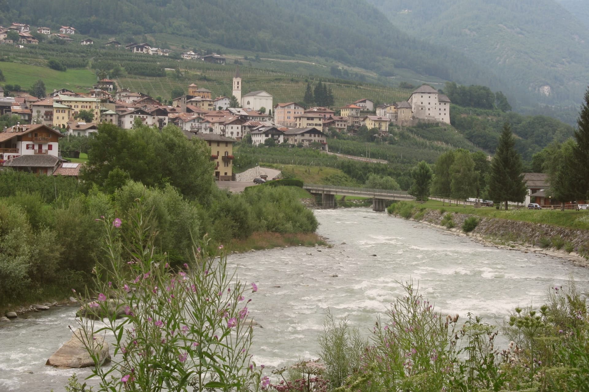
The commune sits at around 700 metres in the lower valley, along the river, thirty-five kilometres northwest of Trento and below the southern ridge of the Brenta Dolomites. It is a scattered municipality of six hamlets: the village itself, Samoclevo, San Giacomo, Cassana, Tozzaga, Bordiana and Bozzana, strung along the slope between 635 and 767 metres, each holding its own cluster of stone houses on the same grade above the river.
The castle at the centre of the arrangement was built between 1230 and 1235 by Rambaldo and Arnoldo da Cagnò as a five-storey tower-house, controlling commercial traffic up the valley together with the higher fortification above Samoclevo. It passed to a noble family in 1464, who rebuilt it into the form it holds now, and it belongs today to the autonomous province of Trento as a museum venue.
What emerges is a settlement pattern of small hamlets set at deliberate intervals along a single slope, held together historically by one river route and one controlling tower, and preserved since as a recognized example of that rural arrangement.
We confirmed you can reach this one by train.
What to see in Caldes
- Castel Caldes. Five-storey tower-house begun in 1230 and rebuilt by the Thun family from 1464, with sixteenth-century painted rooms and coats of arms, now a Buonconsiglio museum venue.
- Borgo di Caldes. Stone-built historic centre below the castle, member of I Borghi più belli d'Italia for the preservation of its rural architecture and lanes.
- Samoclevo. Upper hamlet at 767 metres above Caldes, paired in the medieval period with the Rocca di Samoclevo to control traffic on the Val di Sole road.
How to get to Caldes
There is a railway station in the town, so you can arrive without a car and never need one while you are here. Trento is roughly 53 minutes away by road.
Our tip
May through October is the open season in the Val di Sole: the Noce runs high with snowmelt from May through July for the rafting season, and the slopes above Caldes are green for hiking from June onward. July and August are warm at 700 metres, cooler than the Trento valley but still busy with summer visitors crossing toward the Brenta Dolomites and the Stelvio. September and October are the quiet shoulder months, with clear air, low water on the river and the chestnut and walnut harvest across the hamlets.
Toblach
Why visit Toblach
Dobbiaco sits at 1,256 metres in the upper Val Pusteria, on the Austrian border, its written record going back to 827. The old settlement, Alt-Toblach, grew around the parish church, while the newer part of town took shape lower down around the railway station built alongside the hotel that opened in 1877, which turned Dobbiaco into one of the first alpine resorts in the Habsburg empire.
Further out in the woods at Alt-Schluderbach stands the cabin where a composer once retreated each summer to write, apart from the hotel guests and the trains. South of the settlement the land opens into the Fanes-Sennes-Braies Nature Park, holding an alpine lake with a trail for walkers, and the old railbed continues in that direction as a route over Cimabanche pass toward Cortina d'Ampezzo.
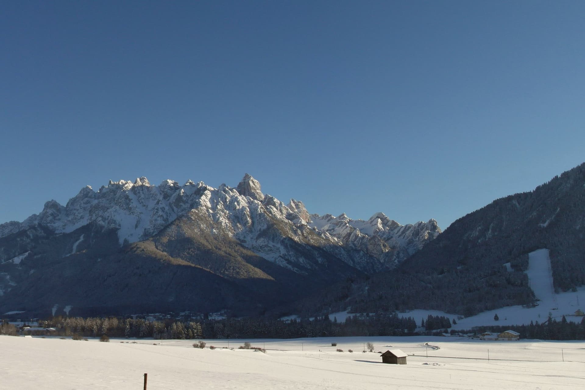
Beyond all of it, reached by way of Val di Landro and Misurina, rise the three spires that anchor the eastern Dolomites. The Gustav Mahler Musikwochen festival fills the town each July and August with concerts named for the man who once needed its quiet.
Taken together, the town reads as three layers set one behind the other: a medieval nucleus, a Habsburg-era resort built on the railway, and beyond both, the mountains and woods that drew a composer to withdraw and now draw everyone else to pass through.
We confirmed you can reach this one by train.
What to see in Toblach
- Chiesa di San Giovanni Battista. Rebuilt 1764-1774 over the remains of a ninth-century Benedictine chapel, standing at the centre of the historic settlement of Alt-Toblach, the nucleus the rest of the town grew around.
- Grand Hotel Toblach. Built 1877-1878 beside the new railway station. The building now holds the nature park visitor centre and the Mahler Auditorium, where the composer's name is heard again each summer.
- Lago di Dobbiaco/Toblacher See. Alpine lake south of town in the Fanes-Sennes-Braies Nature Park, with a circular educational trail and observation platforms for waterfowl.
How to get to Toblach
There is a railway station in the town, so you can arrive without a car and never need one while you are here. Bolzano is roughly 93 minutes away by road.
Our tip
June through September is the summer Dolomite season, with cool evenings, the Mahler Musikwochen in July and August at the Grand Hotel auditorium, and the Tre Cime and Dobbiaco-Cortina cycle path at their busiest. December through March is the ski and Nordic season: the Dobbiaco-Cortina cross-country track replaces the cycle path, and the Tre Cime ski circuit runs from nearby Plan de Corones. April and May are quiet shoulder months, snow gone but many lifts and hotels closed.
Innichen
Why visit Innichen
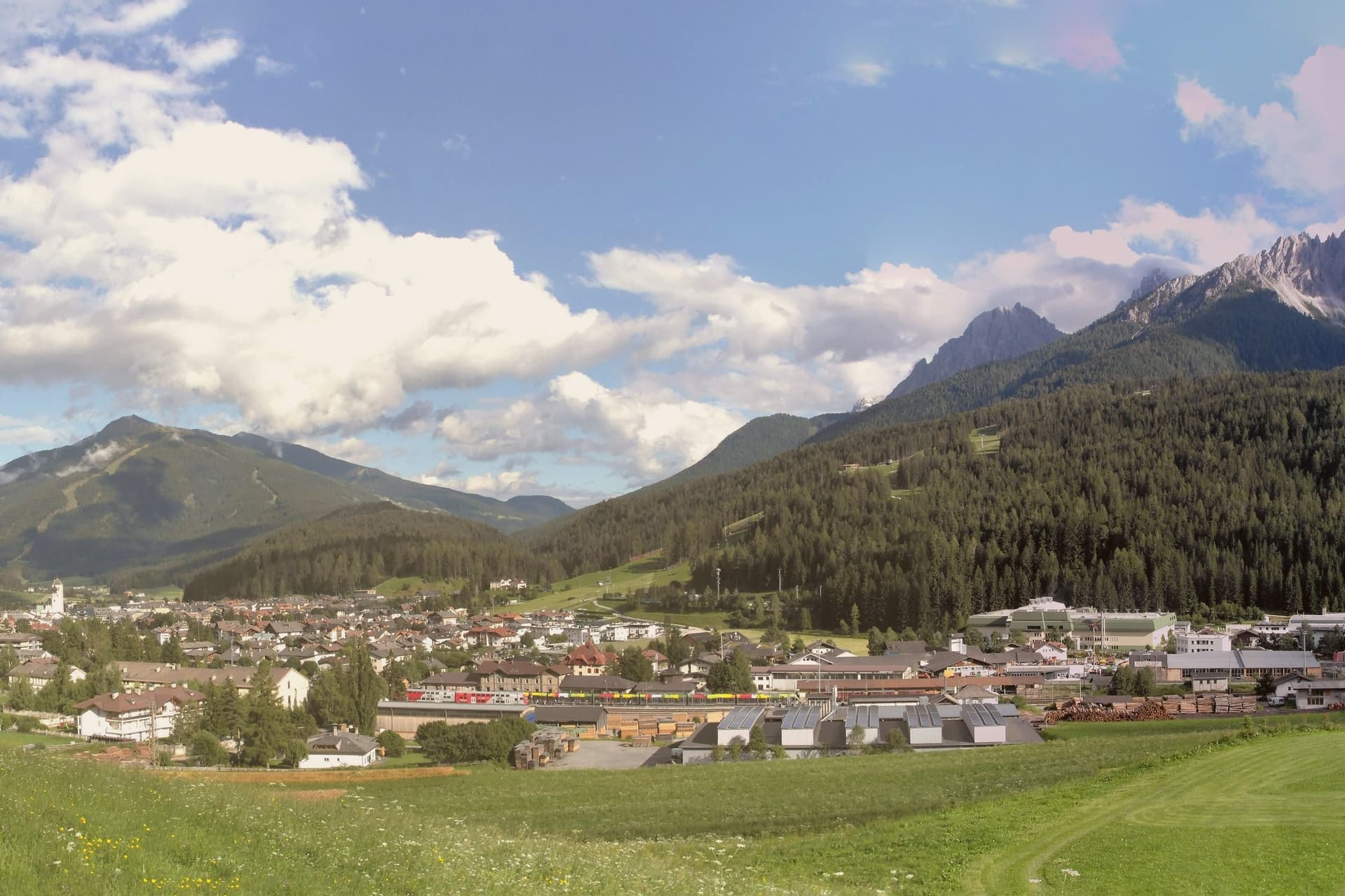
San Candido, Innichen in German, sits at 1,175 metres in the Alta Pusteria valley near the Austrian border, twenty-six kilometres west of Lienz and the headwaters of the Drava river. The town was founded as a Benedictine monastery in 769 by Duke Tassilo III of Bavaria, charged with the Christianisation of the Slavic populations of the eastern Alps.
The monastery was turned into a college of canons in 1143, which is the founding date of the collegiate church that still stands at the centre of the town today. The town is bilingual, German first and Italian second; the Italian name San Candido was applied after 1918 by the Tolomei programme that renamed every place in South Tyrol.
The old town, laid out along the Pusteria road with its squares and burgher houses, sits at the foot of the slope that rises directly into the Monte Baranci ski area, so the built centre and the mountain terrain meet with almost no transition. To the south the Drei Zinnen, the Tre Cime di Lavaredo, mark the most photographed silhouette in the Dolomites, with Innichen serving as the road, rail and trailhead base for reaching them through Sesto and Auronzo.
East, the valley opens toward the Drava river and Austria, followed for its whole length by the cycle path to Lienz. The town works because of this arrangement: a monastic and Romanesque core, a wall of Dolomite peaks to the south, and open riverine access to Austria to the east, three directions of identity meeting at a single, small, bilingual place.
We confirmed you can reach this one by train.
What to see in Innichen
- Stiftskirche / Collegiata di San Candido. Extended around 1280 with a Creation cupola that is the largest surviving fresco of its kind, the interior carrying the weight of the building's Romanesque reputation in stone and paint.
- Stiftsmuseum. Chapter museum next to the church, holding thirteenth-century sculpture, manuscripts and liturgical objects that trace the life of the foundation across its centuries as monastery and college.
- Historic centre. Pedestrianised core around the church, with Tyrolean burgher houses, painted facades and the Pflegplatz and Atoplatz squares laid out along the old Pusteria road.
How to get to Innichen
There is a railway station in the town, so you can arrive without a car and never need one while you are here. Bolzano is roughly 101 minutes away by road.
Our tip
Innichen runs on a two-peak alpine calendar. June through September is the hiking and cycling season, with the Tre Cime trails open, the rifugi in the Sesto Dolomites fully staffed and the Drava cycle path busy with families heading to Lienz. July and August are the warmest weeks, comfortable at 1,175 metres while the valley floors farther south overheat. Platzl Fest / Festa in piazza at the Senfter's Platzl falls in August.
Sterzing
Why visit Sterzing
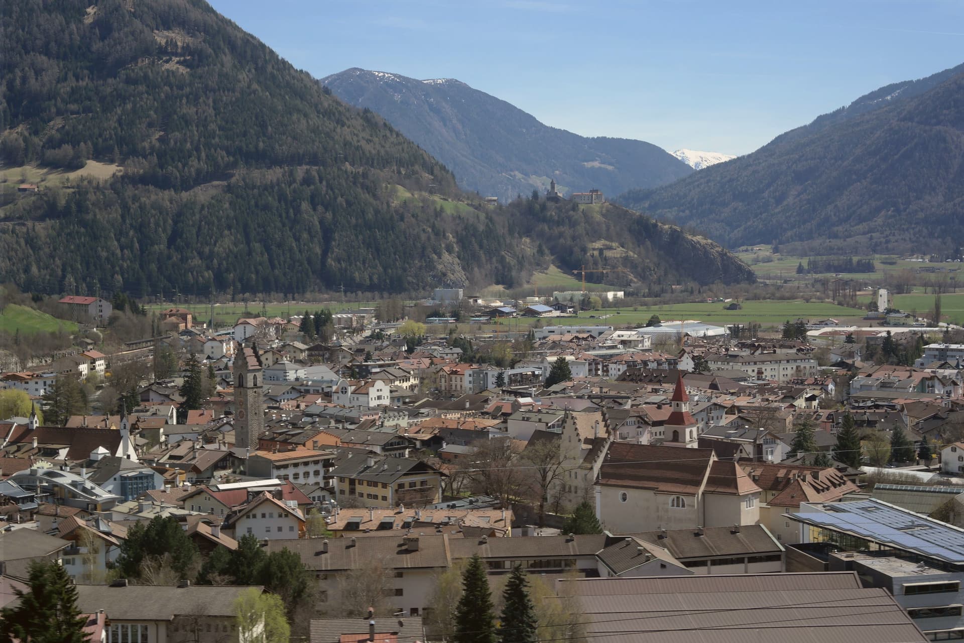
Vipiteno sits at 948 metres in the upper Wipptal, twelve kilometres south of the Brenner Pass and the Austrian border, with the Eisack river running through the medieval town and the Stubai Alps rising on three sides. The German-speaking population calls it Sterzing and outnumbers the Italian speakers by roughly three to one.
The town grew rich in the late fifteenth century from silver and lead mined in the Schneeberg deposits of the Ridnaun and Pflersch valleys to the west, and from its position on the Brenner trade route. The mines belonged to the Fuggers of Augsburg, the banking family who financed Habsburg emperors; Vipiteno is still sometimes called Fuggerstadt.
The Zwölferturm, a forty-six metre tower built in 1472, stands at the centre of Piazza Città and divides the Altstadt from the Neustadt, the two halves of the medieval town. Both halves are lined with painted facades, oriel windows and stepped gables built when the silver flowed.
We confirmed you can reach this one by train.
What to see in Sterzing
- Zwölferturm. Forty-six metre tower built in 1472 at the centre of Piazza Città, dividing the Altstadt from the Neustadt and serving as the town's symbol.
- Altstadt and Neustadt. Two halves of the medieval town on either side of the Zwölferturm, lined with painted facades, oriel windows and stepped gables from the silver-mining century.
- Schneeberg mining museum. Provincial mining museum in the Ridnaun valley west of Vipiteno, on the site of the Fugger-era silver and lead workings that funded the town's wealth.
How to get to Sterzing
There is a railway station in the town, so you can arrive without a car and never need one while you are here. Bolzano is roughly 68 minutes away by road.
Our tip
May through October is the open season, with the Altstadt streets free of snow, hiking running from the town floor up into the Stubai Alps and the Brenner road clear. June and September are the most comfortable months, mid-twenties by day, cool nights at 948 metres. July and August are the busiest, with German and Austrian visitors stopping on the way south and the Vipiteno yoghurt festival drawing crowds in early July.
Borgo Valsugana
Why visit Borgo Valsugana
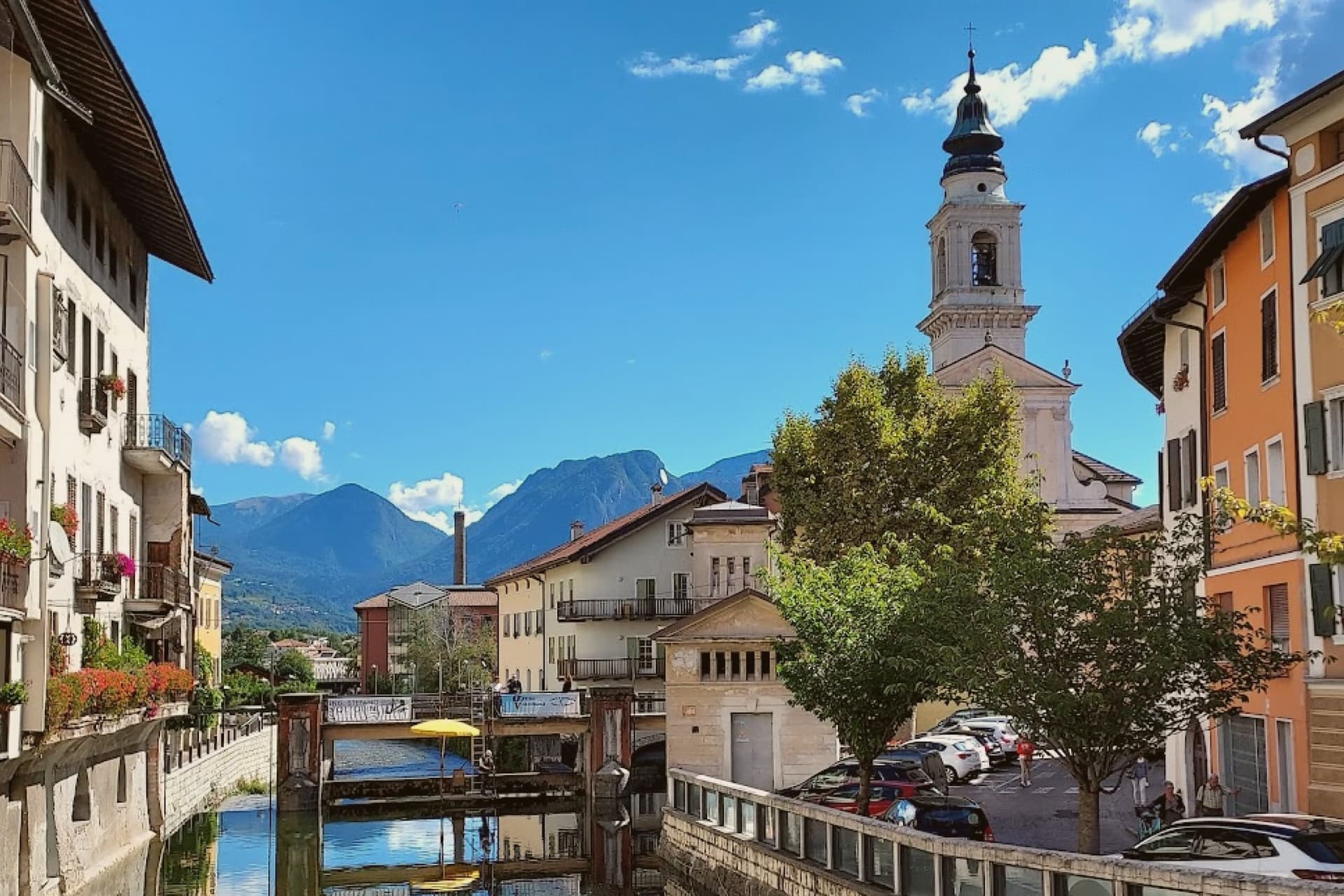
Borgo Valsugana sits at 380 metres on the Brenta, thirty kilometres east of Trento, in the lower part of the Valsugana valley that carries the road and the railway between Trento and the Veneto plain. The Roman settlement of Ausugum stood on the same site, on the Claudia Augusta Altinate road from Altino to Tridentum, which set the town on a route between the plain and the mountains long before the present centre took shape.
The centro storico straddles the Brenta, arcades opening onto the quays on each bank, which is why locals and visitor guides call it the Little Venice of Trentino. The castle above the town looks down on this river centre, and the side valley to the west holds the art project among the meadows, so the town reads in three layers: the water level where the old houses face each other across the river, the height of the watchtower on the hill, and the separate, quieter valley given over to the works in natural materials.
The valley was the front line in 1915 to 1916 and much of the historic centre was rebuilt after the war, so the painted facades standing over the water today are largely a twentieth-century reconstruction of a much older river town.
We confirmed you can reach this one by train.
What to see in Borgo Valsugana
- Castel Telvana. Twelfth-century castle on Mount Ciolino above the town, built around a square watchtower five metres per side and twenty-six metres high.
- Ponte Veneziano. Fifteenth-century bridge over the Brenta crowned by two aedicules with graffiti inspired by seventeenth-century works of Jacopo Fiorentini.
- Arte Sella. Open-air contemporary art project in the Val di Sella since 1986, with works in natural materials around Malga Costa, including the Cattedrale Vegetale.
How to get to Borgo Valsugana
There is a railway station in the town, so you can arrive without a car and never need one while you are here. Trento is roughly 49 minutes away by road.
Our tip
April through June brings mild weather along the Brenta, the Val di Sella in full green and Arte Sella at its most photogenic between bud and full leaf. September and October are the dry months, with the Tognola peaks above the valley starting to colour and the river running clear after the summer rains. July and August can hit thirty-three degrees at 380 metres, with the quays in shadow by late afternoon and Arte Sella busy with visitors.
Levico Terme
Why visit Levico Terme
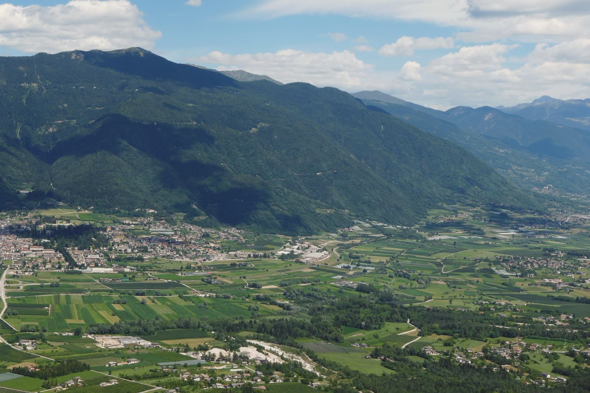
Levico Terme sits at 520 metres in the Valsugana, twenty kilometres east of Trento, between the Lagorai chain and the high plateaus of Folgaria and Lavarone. The settlement passed under Habsburg jurisdiction in 1779 and was elevated to city rank in 1894 by decree of Franz Joseph I.
The spa quarter, the park and the lake sit close together at the edge of the old centre, with the fort watching all three from the hill above. The historic centre, with its imperial-era villas and the parish church of Santissimo Redentore, grew up around the spa rather than the other way round: the streets follow the shape of a resort built in the space of a few decades under Austro-Hungarian rule, rather than a town that predates it.
What survives is a place whose entire layout, from park gate to lakeshore to the fort on the ridge, still reads as the imperial spa it was built to be.
We confirmed you can reach this one by train.
What to see in Levico Terme
- Parco delle Terme. Grounds laid out by Georg Ziehl around the spa buildings and the hotel, with paths shaded by mature planting where the Christmas market sets up each winter.
- Grand Hotel Imperial. Art Nouveau facade facing the park it anchors, the rooms where Empress Elisabeth stayed still forming the core of the working hotel.
- Terme di Levico. The spa buildings that gave the town its purpose, drawing on water piped down from the mountain springs and still run as a treatment centre today.
How to get to Levico Terme
There is a railway station in the town, so you can arrive without a car and never need one while you are here. Trento is roughly 30 minutes away by road.
Our tip
Levico runs year-round: the thermal cures operate from spring through autumn, the Christmas market fills the Habsburg park through December, and the spa hotels stay open through the cold months. May through October is the lake season, with the Bandiera Blu waters warm enough for swimming from mid-June and the sailing and windsurfing clubs open. June through August can hit thirty degrees in the valley floor; the park and the lakeside hold the heat better than the centro storico in the afternoon.
More from Anywhere Italy
- The best mountain towns you can reach by train in Trentino-Alto Adige/Südtirol
- The 9 best towns you can reach by train that eat well in Trentino-Alto Adige/Südtirol
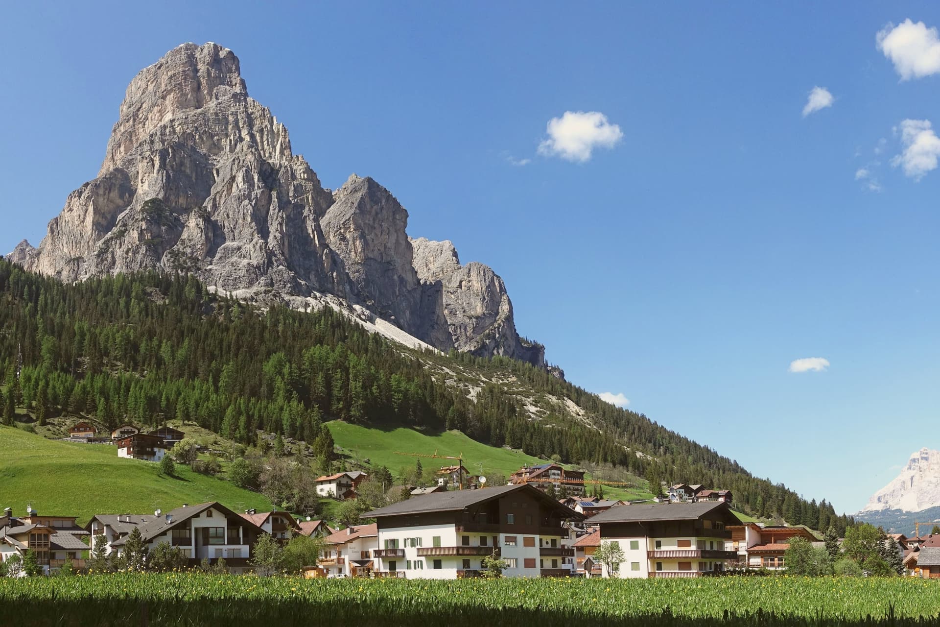 The best hidden towns worth staying overnight in Trentino-Alto Adige/Südtirol
- The best towns you can reach by train in the province of Bolzano/Bozen
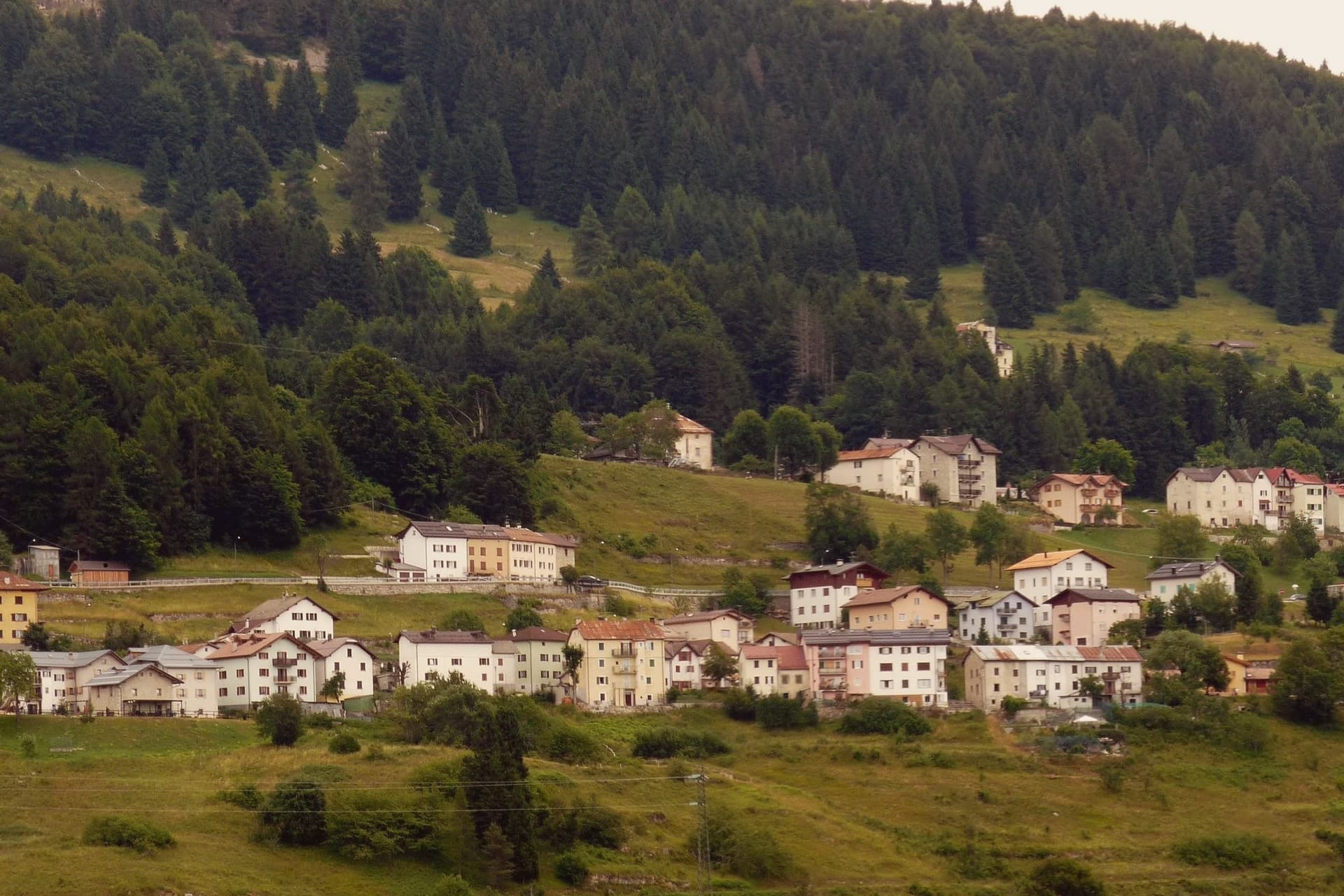 The 9 best small high-altitude villages that eat well in Trentino-Alto Adige/Südtirol
- The best mountain towns in the province of Bolzano/Bozen