

Lazio · Roma
Canale Monterano
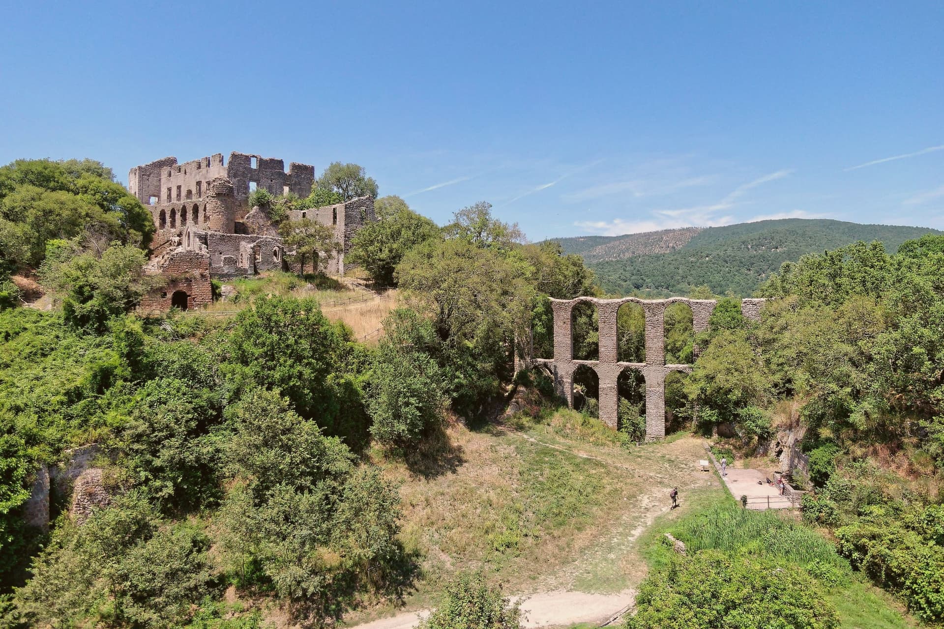
A hilltop village next to the burned ghost town of Monterano, where a roofless Baroque church and fountain still stand.
- Best time
- Apr–Oct
- By car
- 1 h 10 min from Rome
- Population
- 4,169
Known for
GHOST TOWN
The abandoned village of Monterano, burned in 1799 by French Republican troops and never rebuilt; used as a filming location since the 1960s.
BERNINI
The Chiesa di San Bonaventura, the octagonal fountain, and the baronial palace façade in Monterano are all attributed to Gian Lorenzo Bernini.
PANE CASARECCIO
Local bread tradition that earned the Città del Pane designation, with wood-oven loaves baked daily in the working town two kilometers from the ruins.
NOCCIOLA ROMANA
The commune lies inside the Nocciola Romana DOP production zone.
When to visit
Best · Apr–Oct
- J11°
- F14°
- M14°
- A17°
- M22°
- J27°
- J31°
- A31°
- S26°
- O21°
- N16°
- D13°
- Best
- Hot or crowded
- Quiet
- Mostly closed
Daytime averages, 2020–2024. Weather data by Open-Meteo.com.
The festa: Bartolomeo, 24 August
Why come
Canale Monterano sits on a tuff hill forty-five kilometers northwest of Rome, between the Bracciano basin and the Tolfa hills. The inhabited town is small, four thousand residents, built around a working bakery tradition. Two kilometers away, on a separate tuff bluff above the confluence of the Mignone and Bicione rivers, is the reason most people make the trip: the ghost town, set on the far side of a valley the living town does not touch.
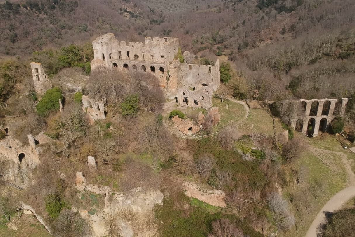
The relationship between the two places is one of distance and separation rather than continuity. Canale Monterano went on being a town; the settlement on the bluff did not, and the two kilometers between them mark the difference between a place that was rebuilt after the fire and one that never was. What is left on the bluff is masonry with the roofs and interiors gone, watched over from its highest point by the palace facade, with the fountain still running below in an otherwise empty piazza. The regional reserve now holds the whole valley, ruin and river system together, so that the abandoned village survives inside protected land rather than beside a working one.
The Sunday letter
Canale Monterano is on our list. Its letter is still to come.
We are writing about all 1,000 of these towns, one at a time, in a free letter every Sunday: the photo, the food, the festa. That is our mission. Sign up and you will be there when Canale Monterano comes up. By Peter & Sophia, from Pietrasanta.
Read on
Canale Monterano in our articles
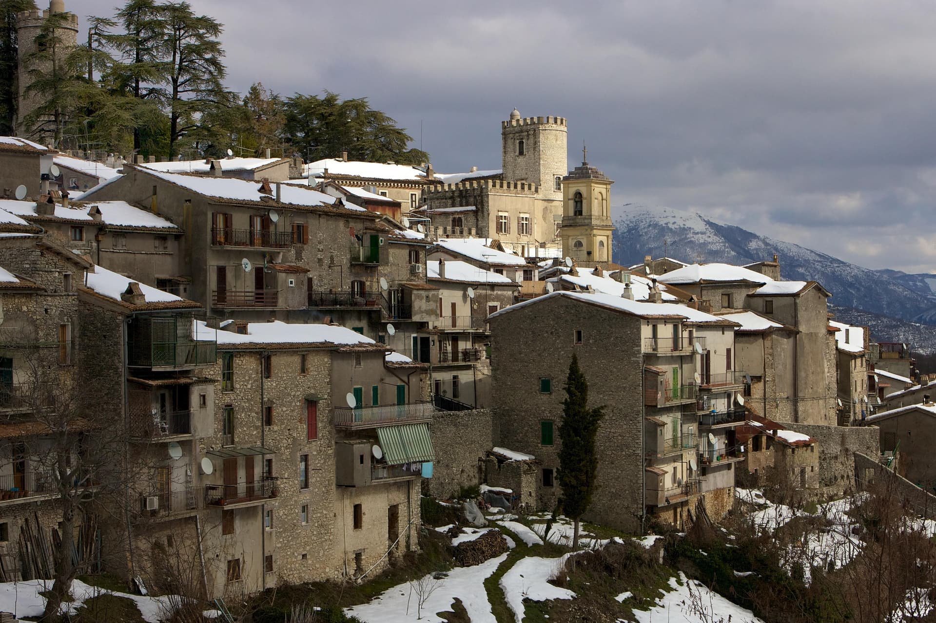 The 6 best small towns with a food festival in Lazio6 towns, Canale Monterano among them.
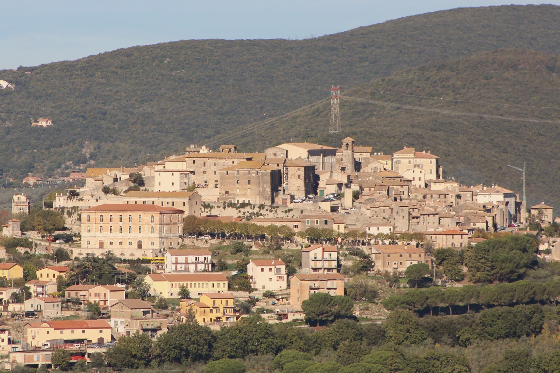 The best hot-spring towns within two hours of Rome6 towns, Canale Monterano among them.
 The best hill towns in the province of Roma7 towns, Canale Monterano among them.
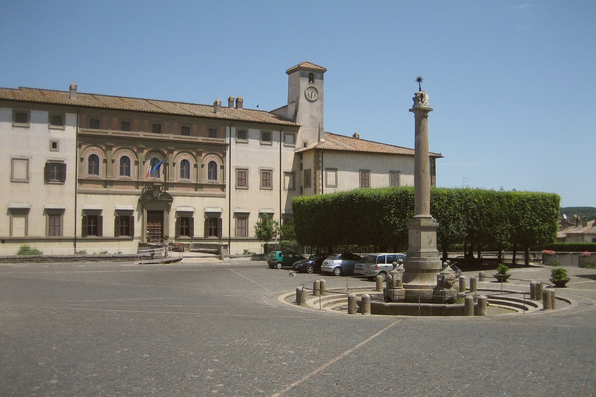 The 8 best hidden hill towns within 90 minutes of Roma8 towns, Canale Monterano among them.
How to get there
From Rome (FCO), about 1h 23m by car.
Naples / Salerno (NAP) is about 3h 14m away.
By car from the centre of Perugia 2h 27m or Siena 3 hours.
Coming by train into Roma Termini? Canale Monterano is about 1h 11m away by road.
What to see
Ruderi di Monterano
Ghost town two kilometers from Canale, burned by French Republican troops in 1799, never rebuilt; now the centerpiece of the regional reserve.
Chiesa e Convento di San Bonaventura
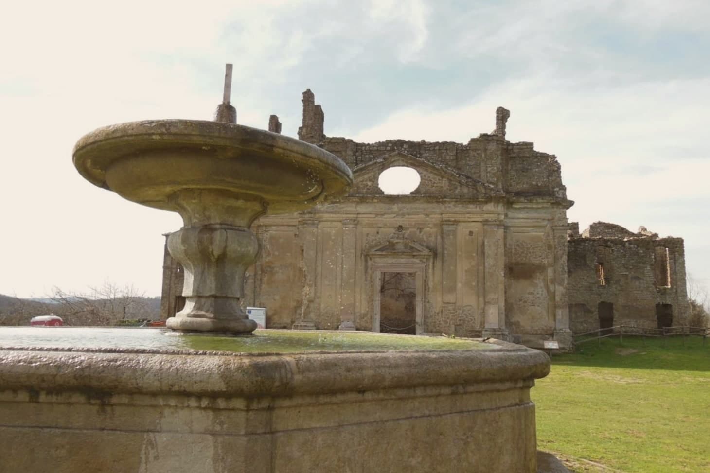
Roofless, facing an open sky where the roof beams once sat. The façade and convent block still stand at the edge of the ruined village, built for the Altieri family by Gian Lorenzo Bernini.
Fontana Ottagonale del Leone
Still flowing through the stone lion's mouth in the middle of an otherwise empty piazza, the only thing in the ghost town that still functions as built.
Palazzo Baronale Altieri
The facade rises straight from the cliff edge of the tuff plateau, at the highest point of the ruin, overlooking the rest of the abandoned village below.
Riserva Naturale Regionale di Monterano
Protected area covering 1,084 hectares of tuff valleys, sulphurous springs, woods, and the river system of the Mignone and Bicione.
The slow-trip planner
Building a trip? Find where Canale Monterano fits in a slow Italy circuit.
Answer five questions. We will shape a geographically coherent slow trip from the 1,000 Italian towns most travelers skip. Yours to save and share.
Through the year
What happens here
Feasts and festivals that come back year after year. We give the month rather than the date, because the date moves and the month rarely does. Check with the source before you plan a journey around one.
Sagra del Lombrichello a Canale Monteranofood festival
usually held in July. Lazio Nascosto - Eventi nel Lazio (monthly)
Sagra delle Pappardellefood festival
usually held in August. Viaggi e Sagre
Living here
- Population 4,169
- Remotei
- Pharmacy in town
- High school within a 30-minute drive
- Nearest airport Rome, 1 h 23 min drive
- Regional capital Roma, 1 h 10 min drive
Thermal baths in town: Solfatara Diosilla, Terme di Stigliano, Solfatara vecchia.
Common questions
- What is Canale Monterano known for?
- Canale Monterano is a hilltop village next to the burned ghost town of Monterano, where a roofless Baroque church and fountain still stand.
- Where is Canale Monterano?
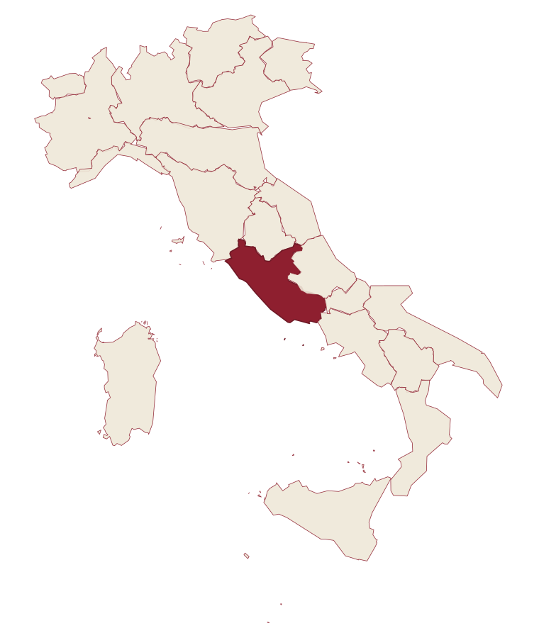
- Canale Monterano is a comune in the province of Roma, in Lazio, at 376 meters above sea level.
- What is the nearest airport to Canale Monterano?
- Rome (FCO), about 1h 23m by car.
- How long is the drive from Perugia to Canale Monterano?
- About 2h 27m by car.
- When is the best time to visit Canale Monterano?
- Best in Apr–Oct. July is the warmest month, averaging 31 degrees, and December the wettest, with about 13 rain days.
- Is there a sagra or a festival in Canale Monterano?
- Yes. Sagra del Lombrichello a Canale Monterano and Sagra delle Pappardelle. July is when the first of them falls.
- Which other towns are like Canale Monterano?
- Oriolo Romano, Subiaco and Pitigliano.
- How many people live in Canale Monterano?
- 4,169 at the 2023 count.
Tags & datadesignations · numbers · sources
Recognised as
The numbers
- Elevation: 376 m
- Population: 4,169
- Surface area: 36.92 km²
These figures were compiled from public directories: ISTAT, OpenStreetMap and Wikidata, and from the official listings of the guides named on this page. Town details change; verify with official sources before you travel.
Similar
Towns like Canale Monterano
Oriolo Romano
Province: Viterbo
both inland, away from the coast · both between 3,000 and 10,000 people
Subiaco
Province: Roma
both inland, away from the coast · both between 3,000 and 10,000 people
Pitigliano
Province: Grosseto
both inland, away from the coast · both between 3,000 and 10,000 people
Manciano
Province: Grosseto
both inland, away from the coast · both between 3,000 and 10,000 people
Sant'Angelo in Vado
Province: Pesaro e Urbino
both inland, away from the coast · both between 3,000 and 10,000 people
Bienno
Province: Brescia
both inland, away from the coast · both between 3,000 and 10,000 people
🌻 Spighe Verdi
More Spighe Verdi towns in Lazio
Gaeta
Province: Latina
The promontory port where a Bourbon kingdom fell in February 1861 and the south of Italy stopped existing as a state.
Sabaudia
Province: Latina
A rationalist city built in 253 days on drained Pontine marshland, founded 15 April 1934 between Lago di Paola and the Tyrrhenian dunes.
San Felice Circeo
Province: Latina
A medieval borgo on the flank of a promontory that Homer made the home of Circe in the Odyssey.