
The best hill towns that eat well within 90 minutes of Roma
The hills around Rome are made of old volcanoes, and you can taste it. Vines and hazelnut groves grow on ash-rich soil, sheep move through the Aniene valley in spring, and the towns are cut from tufa and peperino, grey-brown stone that holds the cold in cellars where wine and cured pork are kept. Lunch here runs long: porchetta sliced off the bone with the crackling still loud, coratella with artichokes in April, fettuccine with giblets, lake fish from the crater basins to the north. Autumn brings hazelnuts, chestnuts and the first pressing of oil, and the trattorie fill with Romans who drove up for exactly that.
Most visitors take the day trip that everyone takes, which is Frascati, and eat in the wine cellars along its main street before catching the train back. It is a reasonable afternoon and the wine is decent, but the town has been absorbing Rome's weekend overflow for generations, and it shows in the pricing and the pace of service. On a Sunday in October the queues form early and the good tables are gone by one o'clock.
The volcanic hills keep going, though, north into the Tuscia and east towards the Simbruini mountains, and the cooking goes with them. There are towns on tufa spurs with Etruscan tombs beneath the vineyards, papal gardens above waterfalls, monasteries carved into cliff faces, and in each of them a kitchen a dining guide thought worth naming. Fewer people make the drive, which is the point.
Of the 30 communes we have mapped within 90 minutes of Roma, 6 qualify as hill towns that eat well: each is an inland hill settlement, and a dining guide has named a table in each. The smallest, Sutri, has 6,663 residents.
Two more lists worth reading alongside this one: The best towns you can reach by train that eat well within 90 minutes of Roma and The best hill towns you can reach by train within 90 minutes of Roma.
Sutri
Why visit Sutri
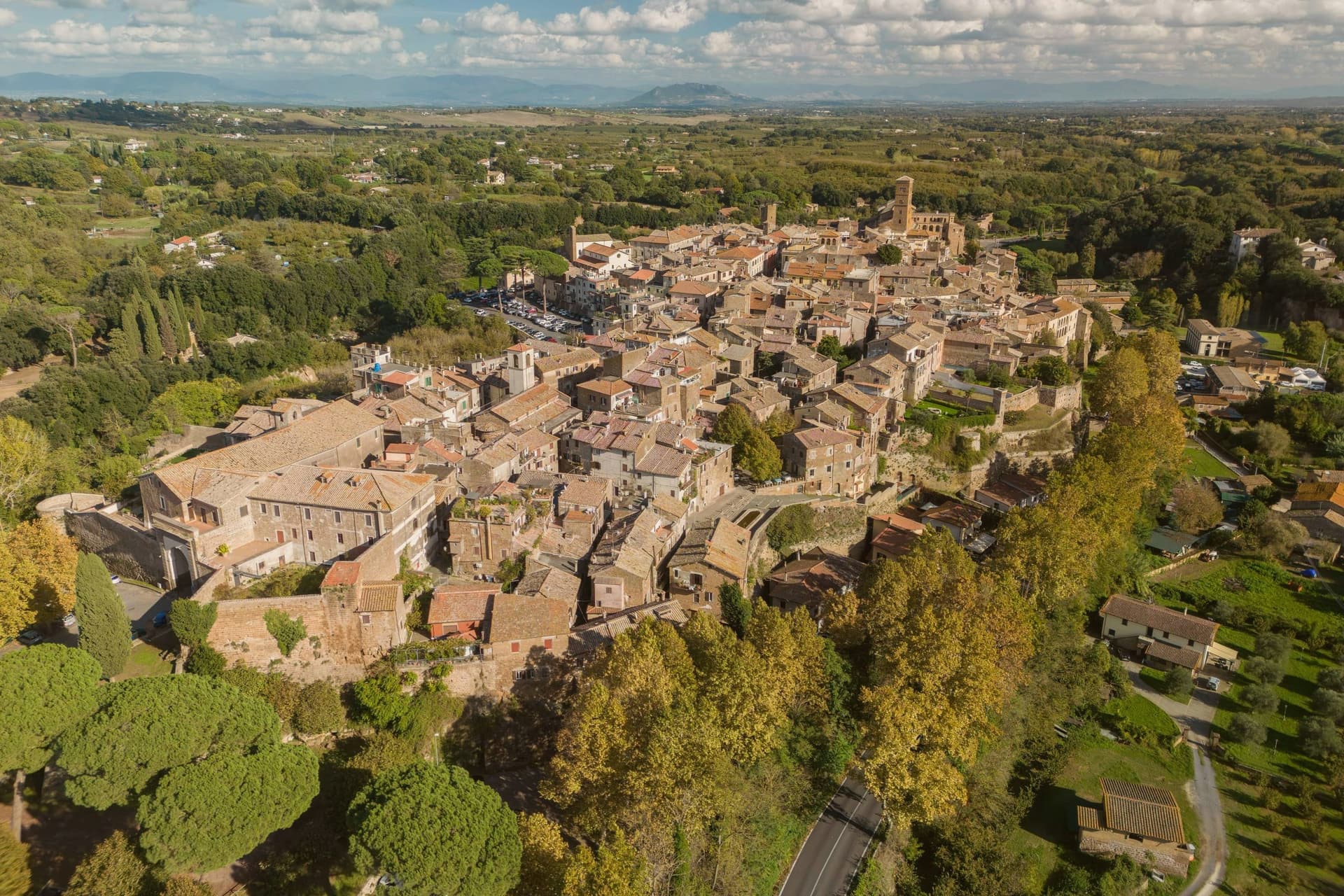
Sutri sits at 291 meters on a narrow tuff spur, fifty kilometers north of Rome on the old road linking the two. The Etruscans held it before the Romans took it in the fourth century BC, and it was among the colonies that refused further military contributions to Rome during the Second Punic War in 209 BC.
The rock-cut monuments that define the town, the arena, the temple turned sanctuary, the chamber tombs, all come from the same tuff spur the town is built on, so the stone that gives Sutri its ground is also what its Etruscan and Roman residents carved into. The high ground above, where the eighteenth-century villa and its gardens sit, looks down over that older excavated town rather than sitting apart from it.
Local tradition ties the town's beans to Charlemagne, who passed through and was supposedly relieved of an attack of gout by Sutri's variety. What the place adds up to is a settlement where the town and its excavation are the same rock: nothing was built so much as removed.
N'uovo Vino e Cucina have been named by a guide.
What to see in Sutri
- Anfiteatro Romano. Elliptical amphitheater about forty-nine by forty meters, carved directly out of the tuff rock rather than built on it.
- Mithraeum / Madonna del Parto. Roman temple to Mithras hewn into the tuff and reused as a Marian sanctuary, accessed through the medieval rock-cut church.
- Necropoli rupestre. Etruscan necropolis with dozens of rock-cut chamber tombs in the cliff face along the Via Cassia.
How to get to Sutri
Roma is roughly 57 minutes away by road.
Our tip
April through June and September into October are the best months in the tuff country, when the amphitheater grass is green and the gardens of Villa Savorelli are open. July and August push afternoons into the mid-thirties; the rock-cut Mithraeum and tomb chambers stay cool and become the part of the visit that doesn't need to be timed. November through March is quiet. Sagra del Fagiolo falls in August.
Subiaco
Why visit Subiaco
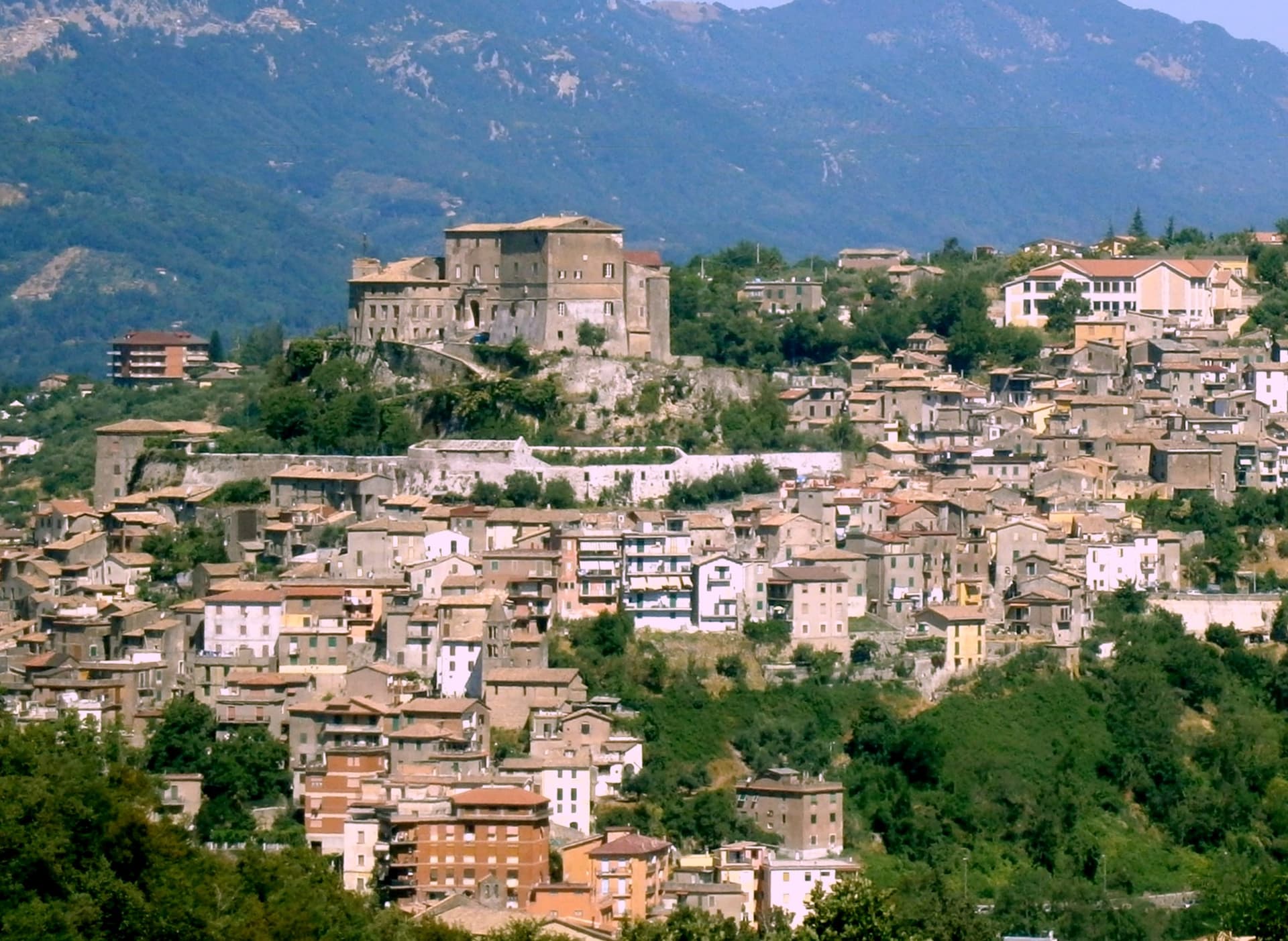
Subiaco sits at 408 meters along the upper Aniene, seventy-three kilometers east of Rome and forty from Tivoli. Nero built a villa here in the first century, damming the river into artificial lakes known as Sublaqueum, below the lake, and the name outlasted the villa and the emperor both.
The town that grew up here reads in layers going up the valley side: the river and the bridge at the bottom, the abbey partway up the hill, the fortress at the summit, and the cliff sanctuary further out along the cliff face that gave the hermit's cave its shelter, each one built at a different remove from the water and from the town center. What holds these layers together is a single life.
A man who came here as a young man to live alone in a cave gave his name to a monastery down the hill, and centuries later that same monastery's press put the first printed book on Italian soil into circulation. The fortress above answers to a different history, the abbots who ruled here as feudal lords, one of whom fathered a child who became one of the most written-about women of her age.
A river valley that supplied an emperor's pleasure lakes became, without much overlap, the ground where monastic life took its early shape.
Contrada Rapello have been named by a guide.
What to see in Subiaco
- Monastero del Sacro Speco. Built into the cliff face of Monte Taleo, the sanctuary rises in tiers over the cave itself, and the frescoes by Conxolus and the school of Cimabue cover walls that follow the rock rather than a flat plan.
- Abbazia di Santa Scolastica. The only one of Benedict's twelve original monasteries still standing, sixth century in origin; its library holds three hundred manuscripts, including a copy of the Lactantius run off the abbey's own press.
- Rocca Abbaziale (Rocca dei Borgia). Set on the highest ground of the borgo, the fortress was raised by abbot Giovanni V in the twelfth century and later gave Lucrezia Borgia, daughter of the abbot Rodrigo Borgia, a birthplace in 1480.
How to get to Subiaco
There is a railway station in the town, so you can arrive without a car and never need one while you are here. Roma is roughly 70 minutes away by road.
Our tip
April through June and September through October are the months for Subiaco: the Aniene runs full, the cliff sanctuaries are open from morning, and the pilgrim road south fills with walkers on the Cammino di San Benedetto. July and August are warm in town and cool in the monasteries; the cave at the Sacro Speco holds twelve degrees year-round. November through March is the quiet pilgrim season, mist on the river and few coaches in the lots. Festa Madonna di Pompei Rione Colle falls in August.
Tarquinia
Why visit Tarquinia
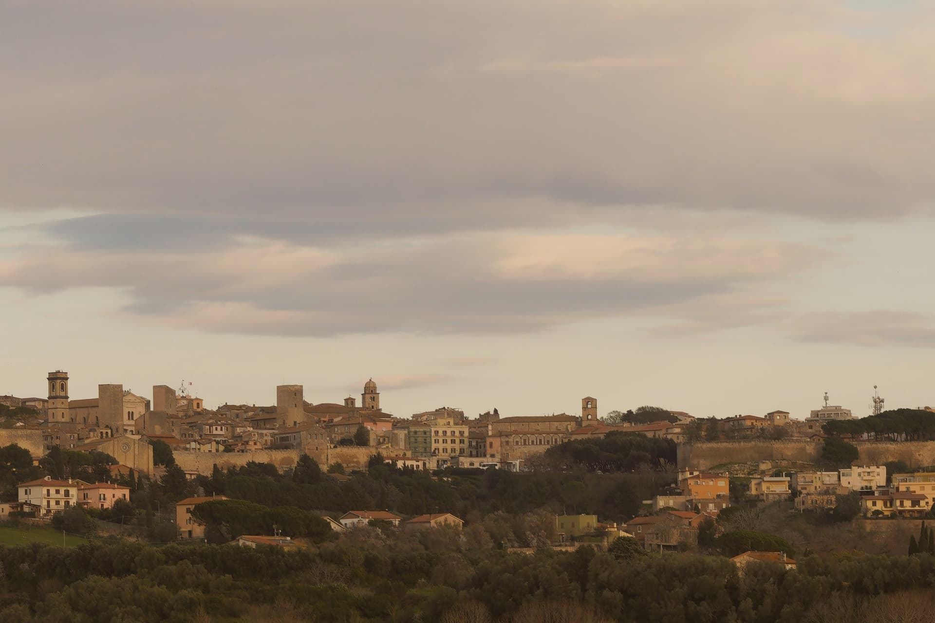
Tarquinia sits on a plateau at 133 meters above the Maremma plain in northern Lazio, six kilometers inland from the Tyrrhenian coast. The Etruscan city of Tarquinii stood on the adjacent Colle della Civita and was one of the twelve great Etruscan capitals, ringed by eight kilometers of sixth-century walls enclosing 135 hectares.
What survives above ground is mostly medieval: the present town moved here in the Middle Ages and was renamed Corneto until 1922, when Mussolini's regime restored the ancient name. What survives below ground is what made the place a UNESCO site in 2004.
The Monterozzi necropolis on the hill east of town holds 6,000 rock-cut tombs from the seventh century BC onward, and around two hundred of them carry painted interiors. The frescoed banquets, dancers, hunters and musicians inside Tarquinia's tombs are the largest body of pre-Roman painting in the Mediterranean.
The Palazzo Vitelleschi in the upper town houses the national museum and the Winged Horses terracottas.
Namo Ristobottega have been named by a guide.
What to see in Tarquinia
- Necropoli dei Monterozzi. UNESCO Etruscan necropolis on the hill east of the medieval town, 6,000 rock-cut tombs with around 200 painted interiors from the 7th century BC onward.
- Museo Archeologico Nazionale Tarquiniense. Housed in the 15th-century Palazzo Vitelleschi, with Etruscan sarcophagi, painted slabs and the famous Cavalli Alati terracottas.
- Palazzo Vitelleschi. Early Renaissance palace built between 1436 and 1439 for Cardinal Vitelleschi, blending Gothic and Renaissance elements in a single façade.
How to get to Tarquinia
There is a railway station in the town, so you can arrive without a car and never need one while you are here. Roma is roughly 77 minutes away by road.
Our tip
April through June and September through October are the strongest months. The Maremma light is clean, the tomb interiors stay cool, and the wind off the Tyrrhenian keeps the plateau comfortable. July and August are workable but hot; the underground necropolis is the right place to be in the middle of the day, and Lido di Tarquinia six kilometers downhill takes the evening crowd.
Ronciglione
Why visit Ronciglione
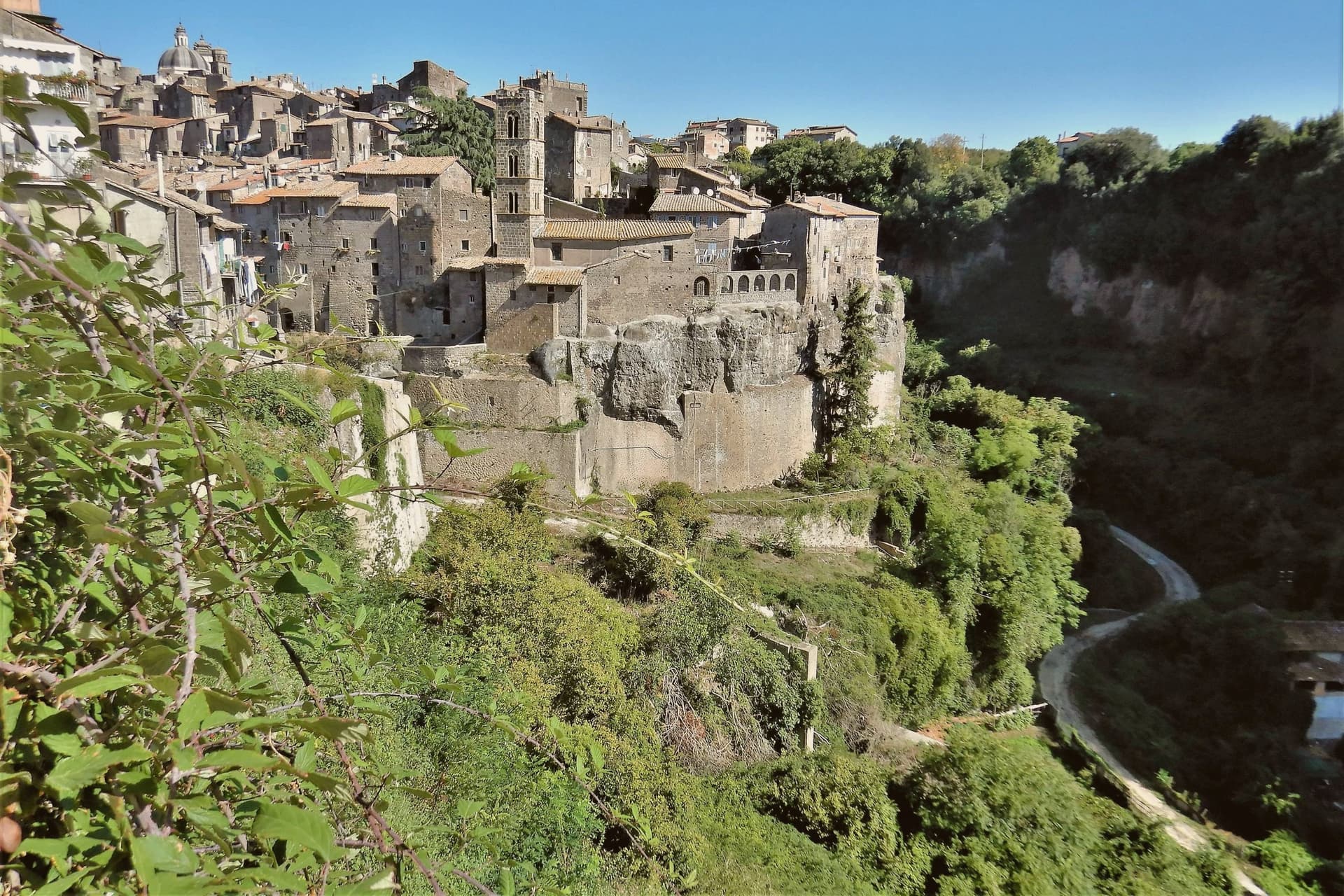
The town stands on a tufa spur at 441 meters, five kilometers from the lake, with the Cimini hills and their hazelnut groves closing in around it on every side. The first record of it dates to 1103.
The Prefetti di Vico held it before the Farnese took it as a Duchy, and the sixteenth-century pontiff who granted the town its Carnival did so during that same passage of rule from prefects to dukes. The fortress's towers control the single natural approach to the historic center, so the medieval town and its defenses are really one structure: whoever held the towers held the road in.
Everything built afterward, the cathedral, the contrade, the Carnival itself, sits inside that same defended perimeter. What the RAI title recognized in 2023 was less a single monument than that whole arrangement still intact: a fortified approach, a walled center, and a lake and hills that have not changed shape around it.
Riva Felice have been named by a guide.
What to see in Ronciglione
- Rocca dei Borgia (I Torrioni). Medieval fortress of the Prefects of Vico, twin round towers guarding the only natural approach to the centro storico.
- Duomo dei Santi Pietro e Caterina. Baroque cathedral of 1671, polychrome marble altar, fifteenth-century triptych by a Viterbo painter, wooden statue of San Bartolomeo.
- Lago di Vico. Volcanic lake ringed by the Cimini hills, its waters filling the crater below the level of the town on its spur.
How to get to Ronciglione
There is a railway station in the town, so you can arrive without a car and never need one while you are here. Roma is roughly 64 minutes away by road.
✷ We have written about Ronciglione
“Suddenly, we weren't running around. Ronciglione has nothing, and I mean zero things to show you. It's a pretty generic medieval town near Rome. It doesn't have a big piazza. There is a gate, a duomo, 2-3 main streets, and pretty much that's it. Yet, it was the center of our attention at that time. After spending just a few days there, we went back to Rome without wrinkles, with an oddly weird smile on our faces.”
Read our piece on Ronciglione →Ronciglione | Baptism into the Other Italy
Our tip
April through June brings the Cimini hills into green, hazelnut groves in flower and Lake Vico cool enough for the morning. September and October are the harvest months, dry, mild, with the air clear enough to see Monte Cimino from the Rocca. July and August touch the upper thirties and fill the lake with Romans on weekends. Palio di Ronciglione falls in July.
Ariccia
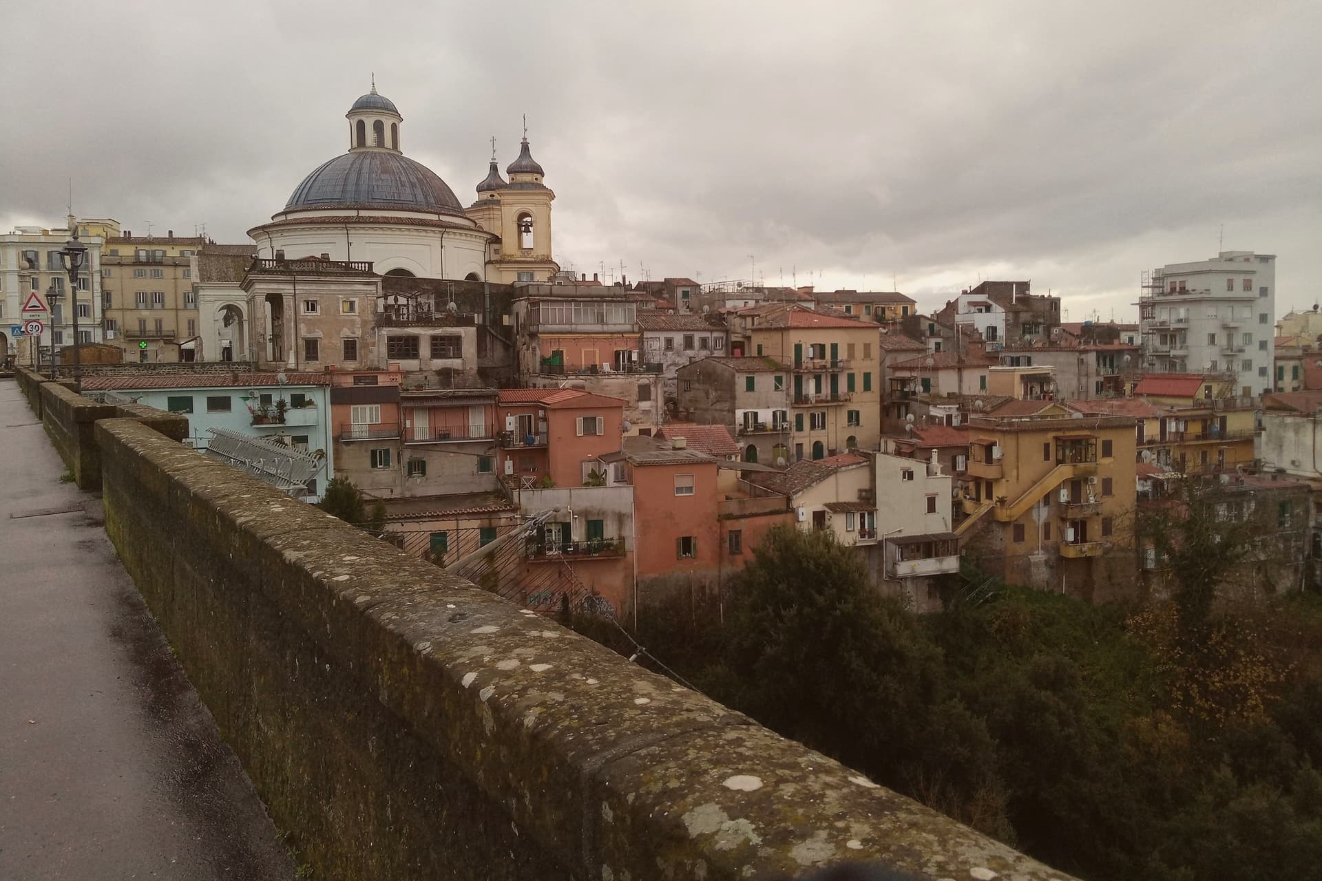
Why visit Ariccia
Ariccia sits on the rim of the Alban Hills volcanic complex, and the crater geography organizes everything about the place. The town centre occupies the ridge; below it on the eastern side the ground drops into the deep crater valley of Vallericcia, crossed by the viaduct linking the town to the next ridge.
The gorge itself became notorious after a series of suicides in the 1990s, now blocked with high railings. Further east and below, the volcanic lakes and the papal estate sit in a cluster within a few kilometres of the town centre, part of the same crater system that shaped Ariccia's position in the first place.
The Roman past predates the Baroque town by centuries: Aricia was the southern terminus of the original Via Appia, laid out in 312 BC, and the neighbouring lake was the site of the Latin League's federal sanctuary of Diana Aricina. The porchetta tradition is separate again: whole pork loin, deboned and seasoned with rosemary, garlic, pepper and wild fennel, slow-roasted on rotating spits in wood-fired ovens and served at room temperature in panini or by the etto.
The fraschette that serve it were originally outdoor wine vendors, marked with frasche, branches, as signs, and the town's status as a Città del Vino within the Frascati zone explains why the wine on the table is local rather than incidental. What makes Ariccia distinct among the Castelli towns is that these layers, Roman road terminus, crater rim settlement, unified Baroque set piece, and porchetta town, sit on top of each other in one small place rather than being scattered across the region.
Sintesi have been named by a guide.
What to see in Ariccia
- Palazzo Chigi + Piazza di Corte (Bernini). The Chigi family's Baroque summer residence. The palazzo, the piazza and the church facing it were designed as one ensemble. The palazzo is preserved as a 17th-c interior museum.
- Santa Maria dell'Assunzione (Bernini). Bernini's circular church, domed and modelled on the Pantheon: small, perfect, often empty.
- Ponte Monumentale. 1854 triple-tier brick viaduct spanning the 312m-deep Vallericcia crater. Walk across for the panoramic view; the gorge below is wooded and undeveloped.
How to get to Ariccia
There is a railway station in the town, so you can arrive without a car and never need one while you are here. Roma is roughly 41 minutes away by road.
Our tip
Ariccia is year-round — the Castelli Romani are Rome's cooler escape in summer (400m altitude buys 5-7 degrees off the city heat) and the porchetta is cold-served so it works in any weather. October–November is the Sagra dell'Uva and the Sagra della Porchetta (first weekend in September) — fraschette spill into the streets. Saturday lunch in any season is the locals' main event.
Tivoli
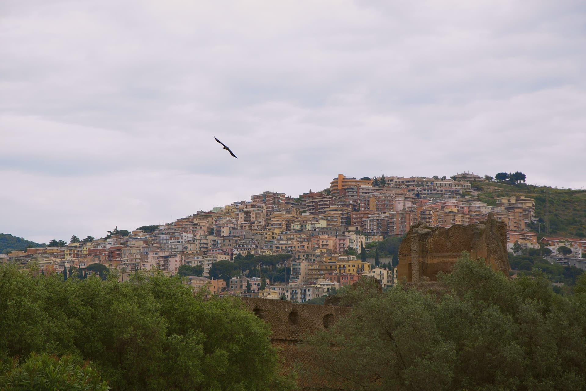
Why visit Tivoli
Tivoli sits at 235 meters on the Aniene where it drops 120 meters off the Tiburtini hills, twenty-five kilometers east of Rome. The Romans called it Tibur and built it up as their summer station; the moneyed classes carried on building here for two thousand years afterward.
Two of those projects became UNESCO sites, listed separately despite standing close together. Hadrian's estate, four kilometers below town, covers 120 hectares with the remains of thirty monumental buildings the emperor built between 117 and 138 AD to recreate the architectural memories of Egypt, Greece and Asia Minor.
The Renaissance garden inside the upper town was laid out from 1550 onward for a cardinal of the Este family; its grounds carry 51 fountains powered entirely by gravity from the Aniene. The cardinal stripped much of the marble from Hadrian's estate to decorate his own grounds, so the imperial villa on the plain and the garden in the upper town are bound together by more than proximity: one was quarried to build the other.
Below them both, the Villa Gregoriana park drops into the gorge where the river was diverted in 1832 to create the 120-meter Cascata Grande. The travertine quarries that built Rome are still working in the plain below.
The upper town, the lower estate, and the gorge between them form a single continuous cut through two thousand years of building, borrowing, and quarrying around the same fall of water.
Li Somari, NUH Osteria Contemporanea, Sibilla and 2 more have been named by a guide.
What to see in Tivoli
- Villa d'Este. The fountains step down the hillside in tiers, fed by nothing but gravity, so the sound of falling water carries through the whole garden. Cardinal Ippolito d'Este stripped much of the marble for it from Hadrian's villa down the hill.
- Villa Adriana. The remains of thirty monumental buildings spread across the Tiburtine plain, among them the Canopo and the Teatro Marittimo, a walled island retreat inside the larger estate.
- Villa Gregoriana. The park drops into the gorge cut by the Aniene, where the river was diverted through Monte Catillo to feed the fall below town.
How to get to Tivoli
There is a railway station in the town, so you can arrive without a car and never need one while you are here. Roma is roughly 31 minutes away by road.
Our tip
April through June and September through October are when the Aniene gardens look the way Cardinal Ippolito wanted them to. The Villa d'Este fountains run hardest in spring after the winter rains; the Villa Adriana hectares are walkable in shoulder weather without burning. July and August touch the upper thirties and the unshaded ruins at Villa Adriana become punishing by mid-morning; the gorge at Villa Gregoriana stays cooler. Festa dell'Inchinata falls in August.
More from Anywhere Italy
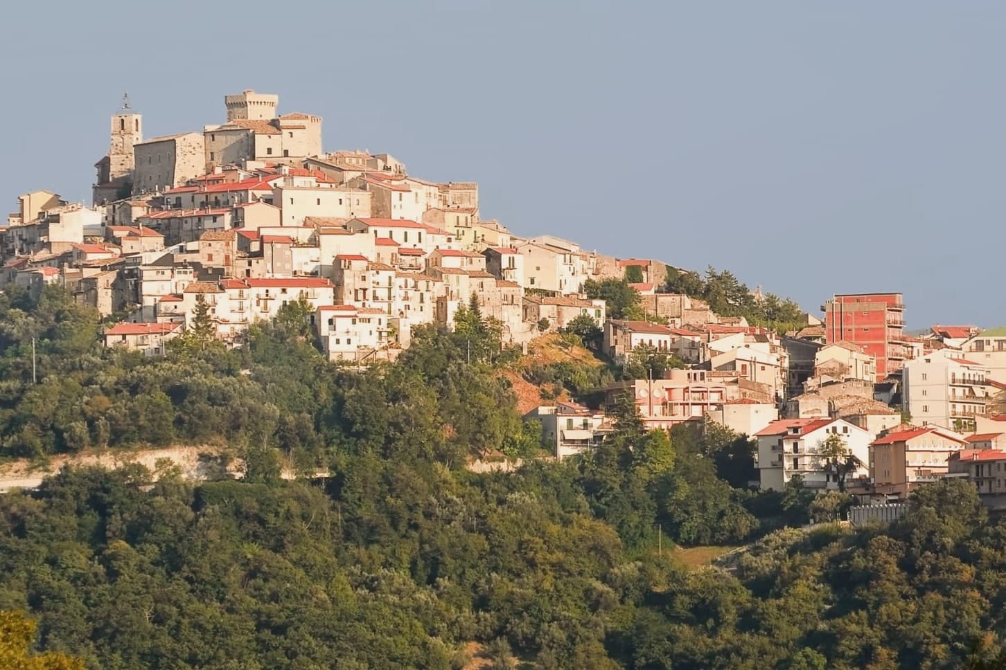 The best towns you can reach by train that eat well within 90 minutes of Roma
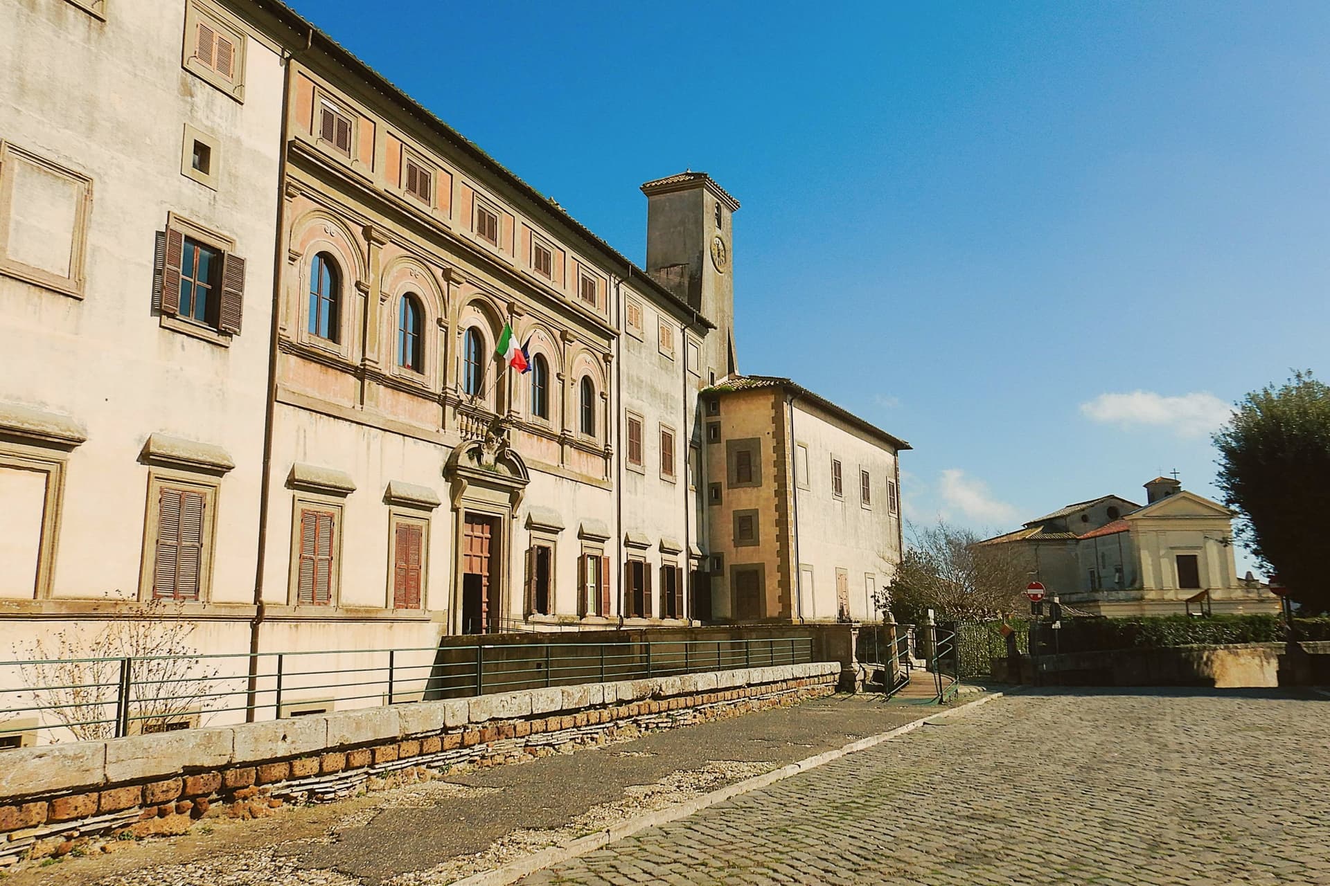 The best hill towns you can reach by train within 90 minutes of Roma
- The best towns with a serious restaurant that eat well within 90 minutes of Roma
 The 9 best hill towns with a serious restaurant in Lazio
 The 8 best hidden hill towns within 90 minutes of Roma
- The best hill towns in the province of Roma