
Abruzzo · Chieti
Montelapiano
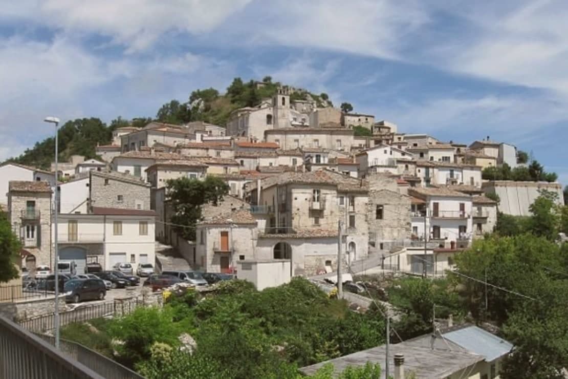
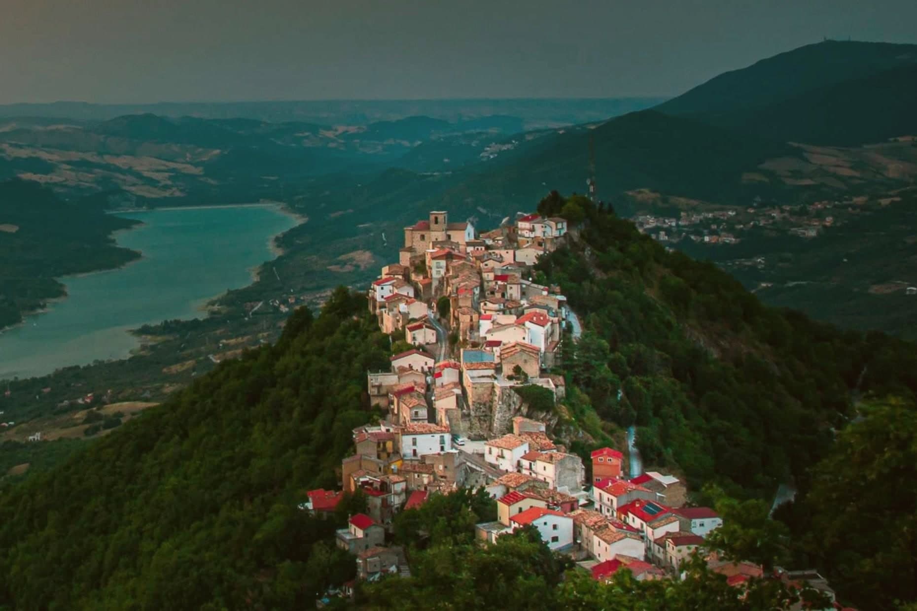
At 740 meters on a limestone marl ridge in the middle Sangro valley, the smallest non-Alpine comune in Italy, population 67.
- Best time
- May–Oct
- By car
- 1 h 24 min from Pescara
- Population
- 75
Known for
67 RESIDENTS
Smallest non-Alpine comune in Italy by population, with 67 inhabitants recorded at the 2024 census.
TERRAZZA D'ABRUZZO
Limestone marl ridge looking straight onto Lake Bomba, with the Maiella on one horizon and the Sangro on the other.
NO SERVICES
Village without shops or pharmacy, dependent on Torricella Peligna and Archi for daily provisioning.
When to visit
Best · May–Oct
- J8°
- F11°
- M11°
- A14°
- M19°
- J24°
- J27°
- A27°
- S22°
- O18°
- N13°
- D10°
- Best
- Hot or crowded
- Quiet
- Mostly closed
Daytime averages, 2020–2024. Weather data by Open-Meteo.com.
Why come
Montelapiano occupies a rock of limestone marl in the middle Sangro valley, positioned between the Roccaraso mountains and the Adriatic. That position between two landscapes is what gives the ridge its long views in both directions: inland to the Maiella, and south along the valley the Sangro has cut. The local name for the place, la terrazza d'Abruzzo, comes directly from this siting on the ridge rather than from any single building or event.
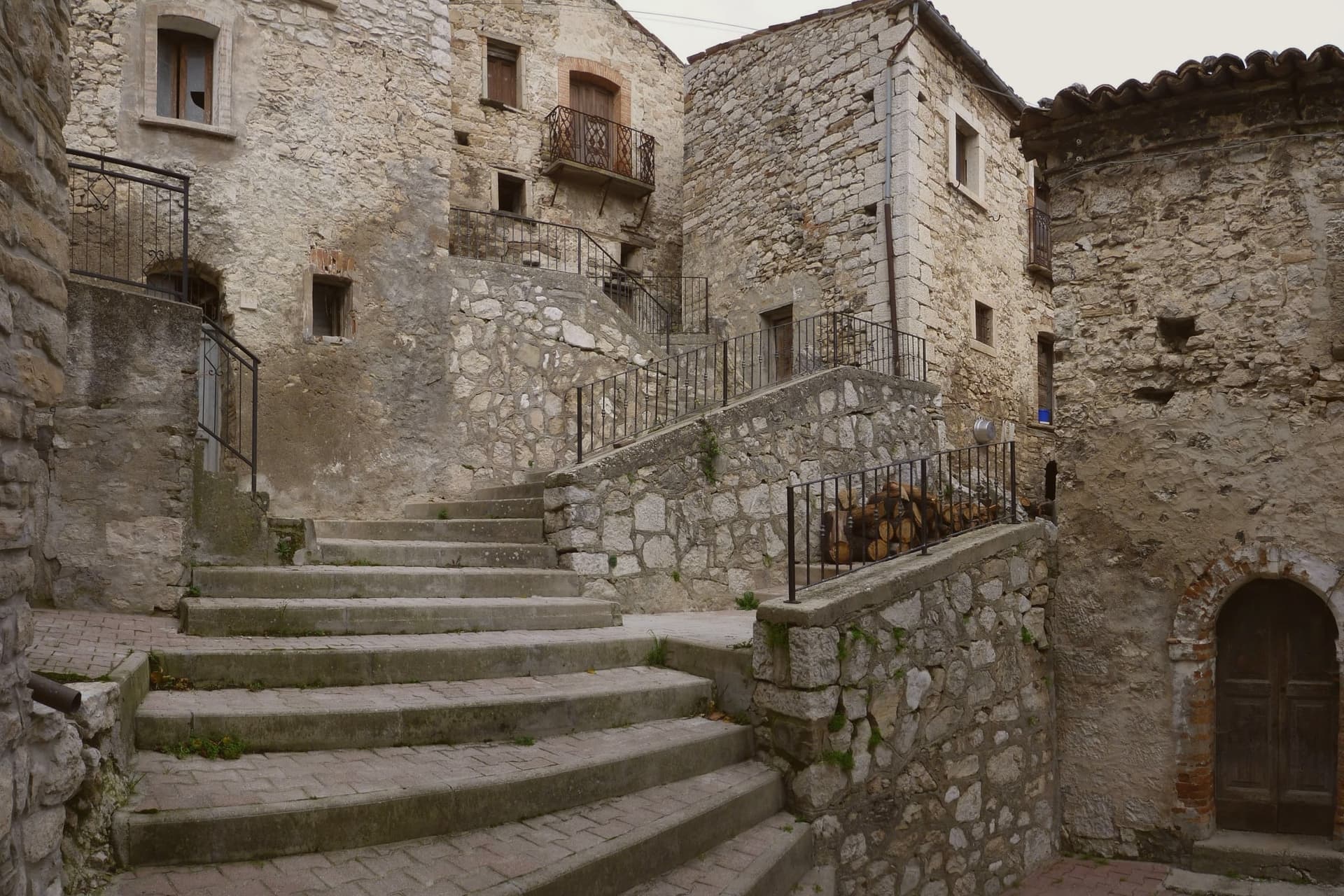
The village itself is a single stepped core of stone houses climbing the ridge, with the parish church set among them and little else. Outside that core, the 8.27 square kilometers of municipal land are woodland and terraced fields, largely uninhabited. There are no shops and no pharmacy, so residents depend on the neighboring towns of Torricella Peligna and Archi for daily provisioning. What holds the place together, in the end, is the ridge itself: a village small enough that its geography and its population size are really the same fact, seen from two sides.
The Sunday letter
Montelapiano is on our list. Its letter is still to come.
We are writing about all 1,000 of these towns, one at a time, in a free letter every Sunday: the photo, the food, the festa. That is our mission. Sign up and you will be there when Montelapiano comes up. By Peter & Sophia, from Pietrasanta.
Read on
Montelapiano in our articles
 10 comuni smaller than a cruise ship's passenger list10 towns, Montelapiano among them.
 10 towns where the population fits in one church10 towns, Montelapiano among them.
 Italian towns with fewer than 200 people11 towns, Montelapiano among them.
 Italy's smallest comuni60 towns, Montelapiano among them.
How to get there
From Naples / Salerno (NAP), about 2h 52m by car.
Ancona / Pescara (AOI) is about 3 hours away.
By car from the centre of Pescara 1h 24m, Naples 3 hours or Ancona 3 hours.
Coming by train into Pescara Centrale? Montelapiano is about 1h 25m away by road.
What to see
Belvedere su Lago di Bomba
The village terrace, where the ridge drops away and the view opens onto Lake Bomba directly below, the artificial lake on the Sangro.
Borgo medievale
Stone houses stepped up the ridge in a compact medieval core, the built form that gives the village its shape.
Chiesa di Sant'Antonio Abate
Small parish church set in the village core, its plain volume the only religious building among the stone houses.
Territorio comunale
8.27 square kilometers of wooded ridge and terraced fields above the Sangro, largely empty outside the village center.
The slow-trip planner
Building a trip? Find where Montelapiano fits in a slow Italy circuit.
Answer five questions. We will shape a geographically coherent slow trip from the 1,000 Italian towns most travelers skip. Yours to save and share.
Living here
- Population 75
- Very remotei
- Pharmacy: none mapped
- High school within a 30-minute drive
- Nearest airport Naples / Salerno, 2 h 52 min drive
- Regional capital L'Aquila, 2 h 31 min drive
Common questions
- What is Montelapiano known for?
- At 740 meters on a limestone marl ridge in the middle Sangro valley, the smallest non-Alpine comune in Italy, population 67.
- Where is Montelapiano?
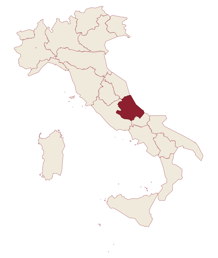
- Montelapiano is a comune in the province of Chieti, in Abruzzo.
- What is the nearest airport to Montelapiano?
- Naples / Salerno (NAP), about 2h 52m by car.
- How long is the drive from Pescara to Montelapiano?
- About 1h 24m by car.
- When is the best time to visit Montelapiano?
- Best in May–Oct. July is the warmest month, averaging 27 degrees, and May the wettest, with about 16 rain days.
- Which other towns are like Montelapiano?
- Monteferrante, Alfedena and Guardia Perticara.
- How many people live in Montelapiano?
- 75 at the 2023 count.
Tags & datadesignations · numbers · sources
Recognised as
The numbers
- Elevation: 740 m
- Population: 75
- Surface area: 8.27 km²
These figures were compiled from public directories: ISTAT, OpenStreetMap and Wikidata, and from the official listings of the guides named on this page. Town details change; verify with official sources before you travel.
Similar
Towns like Montelapiano
Monteferrante
Province: Chieti
both mountain-valley towns · both under 1,000 people
Alfedena
Province: L'Aquila
both mountain-valley towns · both under 1,000 people
Guardia Perticara
Province: Potenza
both mountain-valley towns · both under 1,000 people
Cimbergo
Province: Brescia
both mountain-valley towns · both under 1,000 people
Sadali
Province: Sud Sardegna
both mountain-valley towns · both under 1,000 people
Glurns
Province: Bolzano
both mountain-valley towns · both under 1,000 people
💎 Borghi Autentici
More Borghi Autentici towns in Abruzzo
Archi
Province: Chieti
A 492-meter rocky spur called the Terrazza sul Sangro, fief of del Balzo, Cantelmo, Colonna and Carafa, now Città del Tartufo and Città dell'Olio.
Balsorano
Province: L'Aquila
A pentagonal fortress above the Liri river that became a backdrop for 1970s Italian horror cinema.
Barrea
Province: L'Aquila
A 1,066-meter spur above an artificial lake at the heart of the Abruzzo National Park, with a Samnite necropolis and an 11th-century di Sangro castle.
Calascio
Province: L'Aquila
A village of 125 people under the highest castle in the Apennines, cast as the monk's refuge in Ladyhawke.
Campo di Giove
Province: L'Aquila
At 1,064 meters under the southwestern Maiella, the highest village in the park, named for a Roman temple to Jupiter.