
Friuli-Venezia Giulia · Udine
Forni di Sotto
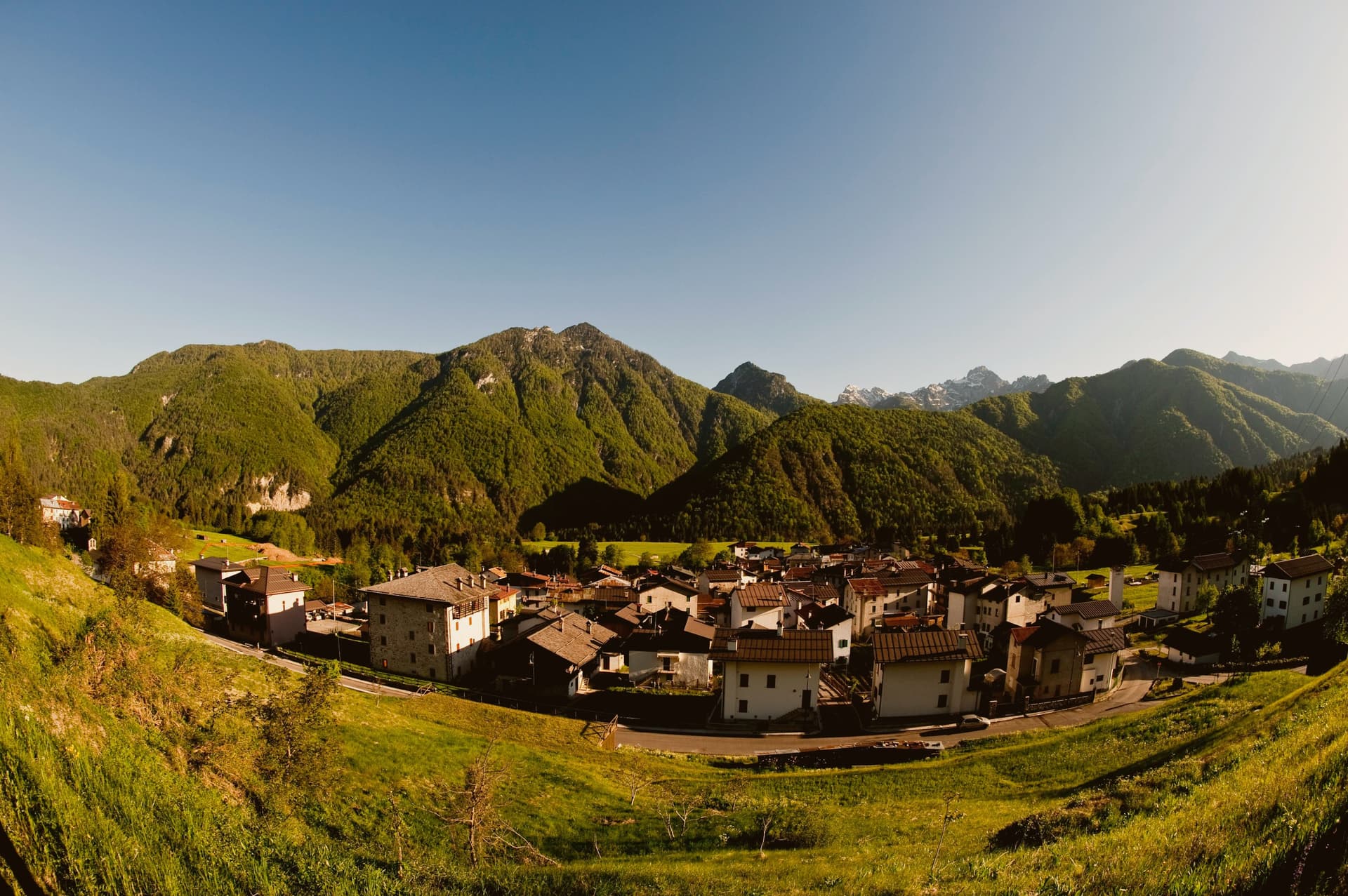
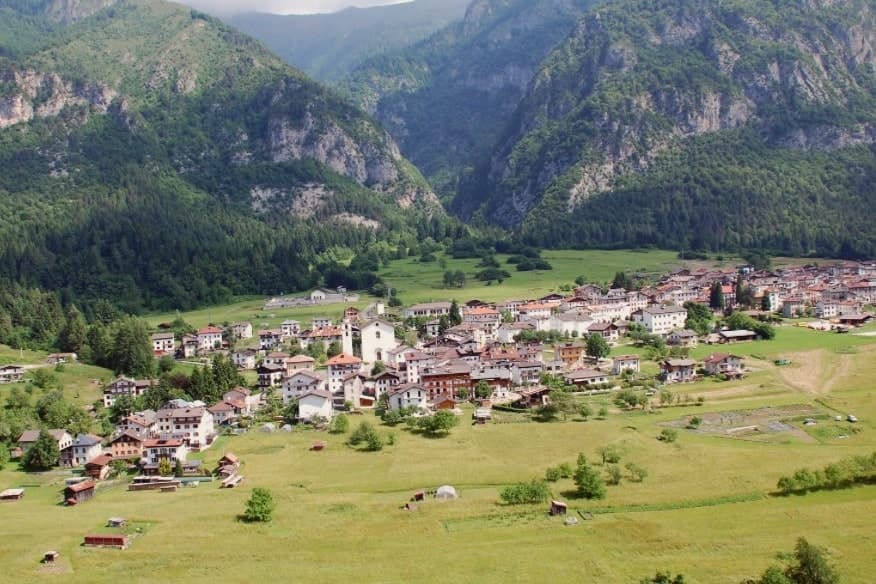
Carnia's Dolomite gateway: a 548-resident alpine borgo at 791m at the head of the Val Tagliamento, with Borgo Autentico mark, a centro almost entirely rebuilt after the 1944 German wartime burning, and direct access to the Forni Avoltri-Sappada ski and hiking circuit.
- Best time
- Jun–Sep
- By car
- 1 h 16 min from Udine
- Population
- 548
Known for
DOLOMITI FRIULANE GATEWAY
Direct-access village into the Parco Naturale delle Dolomiti Friulane. Trail network into Monte Pramaggiore, the Cellina valley, and the Monfalconi-Spalti-Cimoliana group.
BORGO AUTENTICO
Italian small-village quality mark for community life. Authentic Carnic stone-and-larch architecture from the post-war reconstruction.
1944 WARTIME MEMORIAL
Wehrmacht burned the village 30 April 1944 in retaliation for partisan activity. The post-war reconstruction is itself part of the memorial.
CJARSONS HOMELAND
Italy's most idiosyncratic regional pasta: Carnic filled pasta with potato, ricotta, raisins, cinnamon, and chocolate. Sweet-savoury combinations unique to the Carnia.
When to visit
Best · Jun–Sep
- J5°
- F7°
- M9°
- A12°
- M16°
- J21°
- J23°
- A23°
- S19°
- O15°
- N10°
- D5°
- Best
- Hot or crowded
- Quiet
- Mostly closed
Daytime averages, 2020–2024. Weather data by Open-Meteo.com.
The festa: Madonna del Rosario, 7 October
Why come
The commune sits at the head of the upper Val Tagliamento, the last Italian village before the road climbs into the Cimolais pass that connects Friuli to the Veneto Dolomites. That position, at a dead end before a mountain crossing, is what shaped it: a place people pass through only on foot or on the way to the pass itself, not on the way to anywhere else by car. The park at the village's edge, part of the UNESCO Dolomites inscription since 2009, is what makes that dead end worth reaching: the trail network runs directly from the streets into the high peaks and the wild valley beyond, so the mountains are not a backdrop here but the reason the village exists where it does.
The village and its surroundings divide cleanly. Downhill and east, Sappada, historically Germanic-speaking despite sitting in Veneto, shares the same UNESCO Dolomites designation. West, 8 km off, is Forni di Sopra, the larger of the two Forni villages and the one with the bigger ski operation. The Tagliamento itself rises there, at Forni di Sopra, meaning Forni di Sotto sits downstream from the river's own source by only a short distance. The small population supports an active community life, recognized by the Borgo Autentico designation, though depopulation has been heavy across Carnia generally: this commune counted 1,400 residents in 1951 against 548 today, a contraction that shows in how much of the built village is post-war rather than historic.
The cooking follows the same regional logic as the geography: cjarsons, the sweet-savoury filled pasta with potato, smoked ricotta, raisins, cinnamon, and chocolate, is described as Italy's most idiosyncratic regional pasta, and it sits alongside frico, polenta, goulash carried down from Habsburg administration, and Refosco, all evidence of a valley that took in influence from both sides of the mountains it sits between.
What that adds up to is a village whose age is mostly an illusion held up by good masonry: burned in a single day in 1944 and rebuilt in the old idiom, it looks older than it is, standing at the head of a valley whose river, whose neighbors, and whose food all point toward a place shaped by what passes through and around it rather than by what originates in it.
The Sunday letter
Forni di Sotto is on our list. Its letter is still to come.
We are writing about all 1,000 of these towns, one at a time, in a free letter every Sunday: the photo, the food, the festa. That is our mission. Sign up and you will be there when Forni di Sotto comes up. By Peter & Sophia, from Pietrasanta.
Read on
Forni di Sotto in our articles

How to get there
From Venice (TSF), about 2 hours by car.
Verona (VRN) is about 3h 25m away.
By car from the centre of Udine 1h 16m or Trieste 2 hours.
What to see
Parco Naturale Dolomiti Friulane (UNESCO)
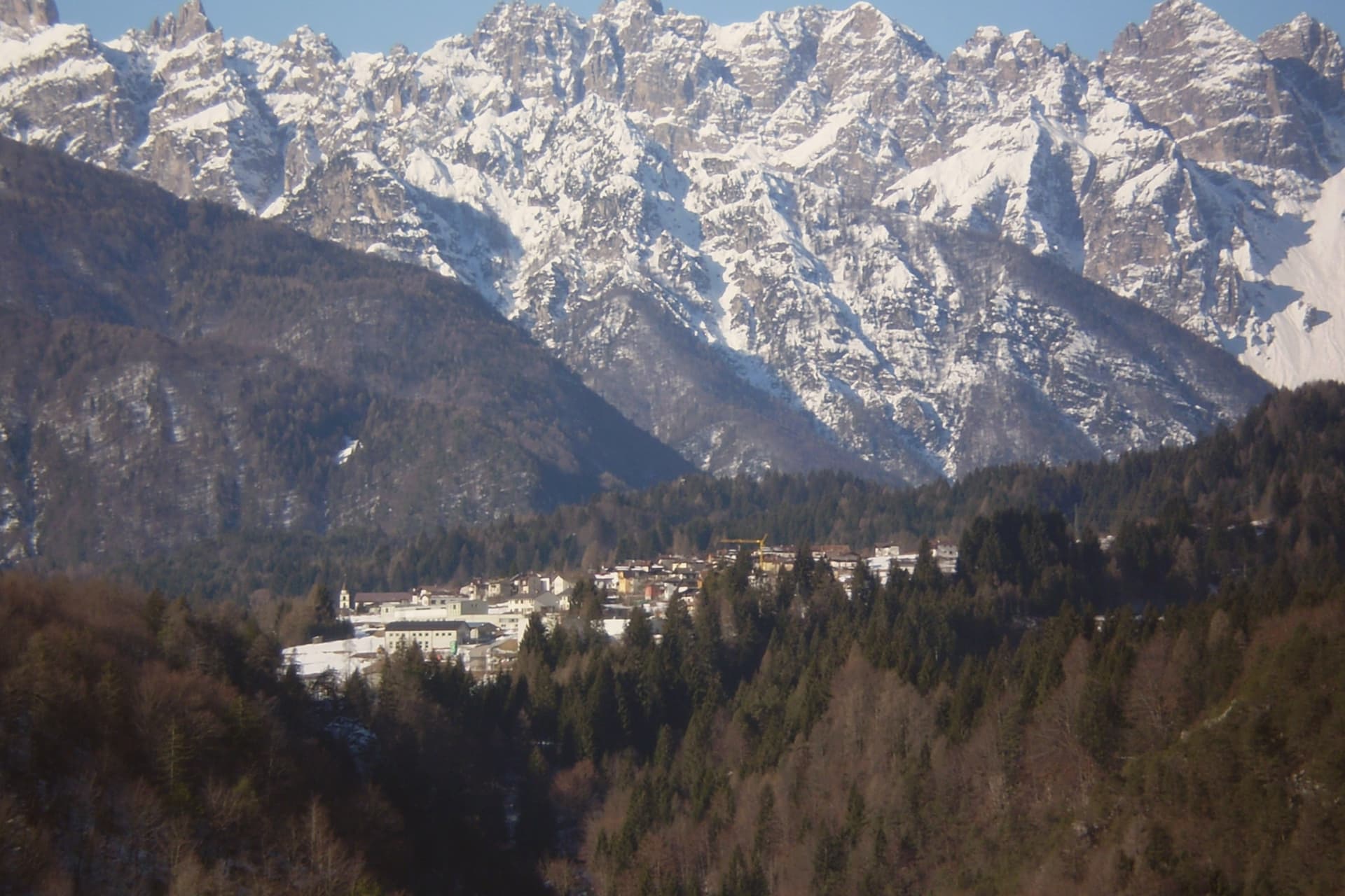
The trail leaving the village runs to Monte Pramaggiore at 2,479m, into the Monfalconi-Spalti-Cimoliana group, and along the wild Cellina valley. Inscribed as part of the UNESCO Dolomites since 2009.
Chiesa di Santa Maria Assunta
The 15th-century church partially survived the burning of the village, one of the few structures still standing from before the war. The Festa di Sant'Anna, held the last Sunday of July, is the year's main civic event.
1944 burning memorial + reconstructed village
The memorial marks the retaliation burning of 30 April 1944. What was rebuilt afterward followed traditional Carnic stone-and-larch technique closely enough that most buildings, though under 80 years old, read as older.
Sappada + Forni di Sopra + upper Tagliamento
Sappada, 50 km east, is Germanic-speaking Alpine terrain and part of the same UNESCO Dolomites listing. Forni di Sopra, 8 km west, is the larger sibling village with its own ski and trail network. The Tagliamento rises there, at Forni di Sopra.
Cjarsons + frico + Carnic kitchen
Cjarsons, polenta with frico (Montasio and potato pancake), goulash, and the local Refosco red make up the table here.
The slow-trip planner
Building a trip? Find where Forni di Sotto fits in a slow Italy circuit.
Answer five questions. We will shape a geographically coherent slow trip from the 1,000 Italian towns most travelers skip. Yours to save and share.
Living here
- Population 548
- Very remotei
- Pharmacy in town
- Nearest high school over ~30 minutes away
- Nearest airport Venice, 2 h 4 min drive
- Regional capital Trieste, 2 h 4 min drive
Common questions
- What is Forni di Sotto known for?
- Carnia's Dolomite gateway: a 548-resident alpine borgo at 791m at the head of the Val Tagliamento, with Borgo Autentico mark, a centro almost entirely rebuilt after the 1944 German wartime burning, and direct access to the Forni Avoltri-Sappada ski and hiking circuit.
- Where is Forni di Sotto?
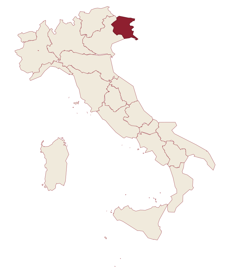
- Forni di Sotto is a comune in the province of Udine, in Friuli-Venezia Giulia.
- What is the nearest airport to Forni di Sotto?
- Venice (TSF), about 2 hours by car.
- How long is the drive from Udine to Forni di Sotto?
- About 1h 16m by car.
- When is the best time to visit Forni di Sotto?
- Best in Jun–Sep. July is the warmest month, averaging 23 degrees, and May the wettest, with about 23 rain days.
- Is there a sagra or a festival in Forni di Sotto?
- The town keeps its patron saint's day: Madonna del Rosario, 7 October.
- Which other towns are like Forni di Sotto?
- Cimbergo, Sperlinga and Bondone.
- How many people live in Forni di Sotto?
- 548 at the 2023 count.
Tags & datadesignations · numbers · sources
Recognised as
The numbers
- Elevation: 791 m
- Population: 548
- Surface area: 93.6 km²
These figures were compiled from public directories: ISTAT, OpenStreetMap and Wikidata, and from the official listings of the guides named on this page. Town details change; verify with official sources before you travel.
Similar
Towns like Forni di Sotto
Cimbergo
Province: Brescia
both under 1,000 people · both high up, between 600 and 1,000 metres
Sperlinga
Province: Enna
both under 1,000 people · both high up, between 600 and 1,000 metres
Bondone
Province: Trento
both under 1,000 people · both high up, between 600 and 1,000 metres
Guardia Perticara
Province: Potenza
both under 1,000 people · both high up, between 600 and 1,000 metres
Sadali
Province: Sud Sardegna
both under 1,000 people · both high up, between 600 and 1,000 metres
Castel del Giudice
Province: Isernia
both under 1,000 people · both high up, between 600 and 1,000 metres
💎 Borghi Autentici
More Borghi Autentici towns
Archi
Province: Chieti
A 492-meter rocky spur called the Terrazza sul Sangro, fief of del Balzo, Cantelmo, Colonna and Carafa, now Città del Tartufo and Città dell'Olio.
Balsorano
Province: L'Aquila
A pentagonal fortress above the Liri river that became a backdrop for 1970s Italian horror cinema.
Barrea
Province: L'Aquila
A 1,066-meter spur above an artificial lake at the heart of the Abruzzo National Park, with a Samnite necropolis and an 11th-century di Sangro castle.
Calascio
Province: L'Aquila
A village of 125 people under the highest castle in the Apennines, cast as the monk's refuge in Ladyhawke.
Campo di Giove
Province: L'Aquila
At 1,064 meters under the southwestern Maiella, the highest village in the park, named for a Roman temple to Jupiter.