

Lazio · Rieti
Amatrice
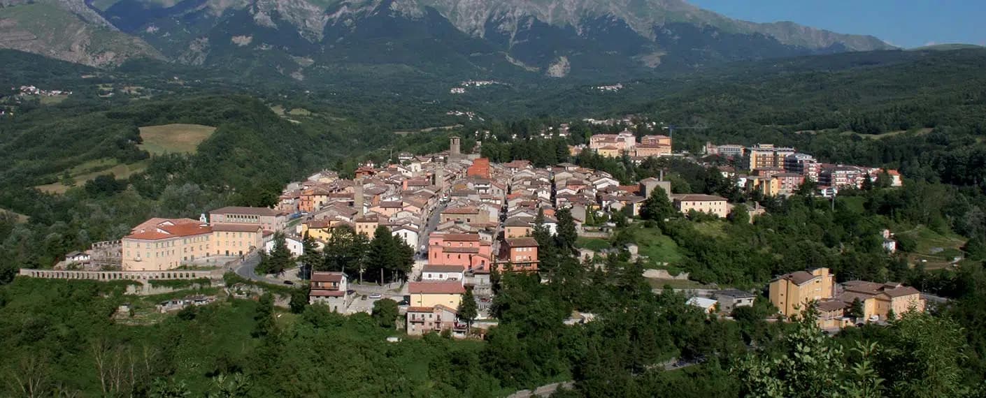
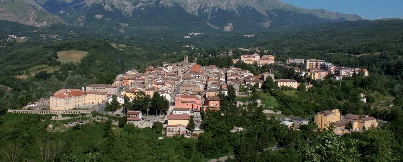
A 955-meter Apennine town leveled by the 24 August 2016 earthquake, slowly rebuilding the streets that gave amatriciana its name.
Known for
AMATRICIANA
Sugo all'amatriciana, guanciale and pecorino and pepper with tomato added in the nineteenth century, the dish that carries the town's name.
24 AUGUST 2016
A 6.2 magnitude earthquake at 3:36 in the morning killed 295 people in the cratere and leveled most of the centro storico.
MONTI DELLA LAGA
Sandstone Apennine massif above town, part of the Gran Sasso e Monti della Laga National Park, with beech and silver fir at altitude.
PROSCIUTTO AMATRICIANO
The commune lies inside the Prosciutto Amatriciano IGP production zone.
When to visit
Best · May–Oct
- J
- F
- M
- A
- M
- J
- J
- A
- S
- O
- N
- D
- Best
- Hot or crowded
- Quiet
- Mostly closed
The festa: Maria, domenica successiva all'Ascensione
Why come
Amatrice sits on a saddle where Lazio runs into Abruzzo and the Marche, the range rising directly above the roofs. The Corso Umberto I and the Piazza Sagnotti formed the spine of the centro storico, the two anchored by the tower at their crossing and by the church nearby; both collapsed almost completely on 24 August 2016. Two hundred and ninety-five people died in the cratere, most of them here.
The town that survived gave its name to sugo all'amatriciana, guanciale, pecorino, pepper, and, since the nineteenth century, tomato. The Sagra degli Spaghetti all'Amatriciana, run since 1967, returned in 2018 in the temporary food court Area Food, held among the ruins while reconstruction went on around it. Reconstruction continues below; the peaks above are unchanged. The dish carried the name outward long before the earthquake made the name known for a different reason, and the two facts now sit side by side in anyone's memory of the place.
The Sunday letter
We haven’t written Amatrice’s letter yet.
One town every Sunday, with the photo, the food, the festa. Be there when this one comes up. Free, by Peter & Sophia from Pietrasanta.
What to see
Torre Civica
Fourteenth-century civic tower at the crossing of Via Roma and Corso Umberto. Severed at the bell chamber in 2016, it stood under scaffolding for six years; consolidation began in August 2022 and the bell stage was finished in 2023.
Chiesa di Sant'Agostino
Fourteenth-century church with a rose window heightened in the twentieth century. It was the first building to fall in 2016 and is the primary reconstruction priority in the centro storico.
Monti della Laga
Sandstone Apennine range above town, sheltering rare relict beech and silver fir forest, inside the Gran Sasso e Monti della Laga National Park.
Parco Nazionale del Gran Sasso e Monti della Laga
1,413 square kilometers of protected Apennine, the second-largest national park in mainland Italy, with Amatrice on its northern edge.
The slow-trip planner
Building a trip? Find where Amatrice fits in a slow Italy circuit.
Answer five questions. We will shape a geographically coherent slow trip from the 1,000 Italian towns most travelers skip. Yours to save and share.
Signature dish
Spaghetti all'AmatricianaPasta
Guanciale, pecorino romano and tomato; the town gave the dish its name long before Rome made it famous.
See every town in our catalogue with a dish of its own.
Through the year
What happens here
Feasts and festivals that come back year after year. We give the month rather than the date, because the date moves and the month rarely does. Check with the source before you plan a journey around one.
Sagra degli Spaghetti all'Amatricianafood festival
usually held in August. RomaPop - Sagre, mercatini e fiere a Roma e nel Lazio
Living here
- Population 2,251
- Off the beaten pathi
- Pharmacy in town
- High school within a 30-minute drive
- Nearest airport Ancona / Pescara, 2 h 17 min drive
- Regional capital Roma, 2 h 10 min drive
Tags & datadesignations · numbers · sources
Recognised as
The numbers
- Elevation: 955 m
- Population: 2,251
- Surface area: 174.4 km²
These figures were compiled from public directories — ISTAT, OpenStreetMap, Wikidata — and from the official listings of the guides named on this page. Town details change; verify with official sources before you travel.
Featured on
Amatrice appears on this themed pick from our Collections:
Close by
More towns near Amatrice
Arquata del Tronto
Province: Ascoli Piceno
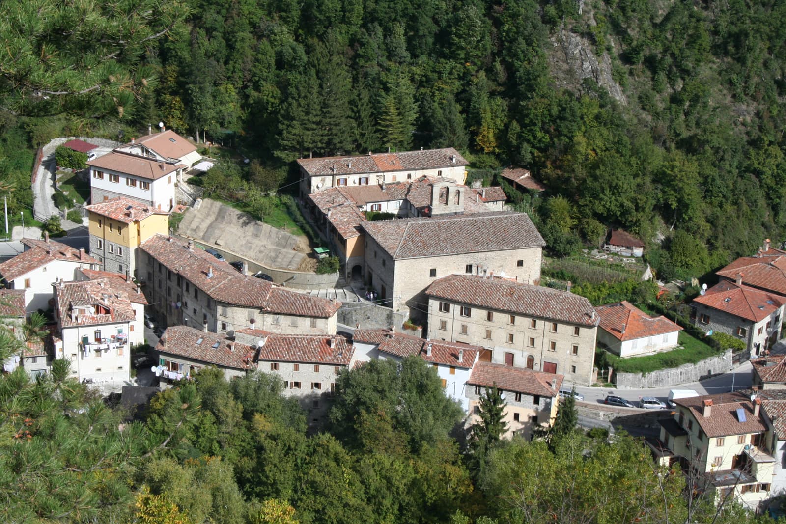
At 777 meters between two national parks, the Marche commune levelled by the 2016 earthquakes and still rebuilding nine years on.
Acquasanta Terme
Province: Ascoli Piceno
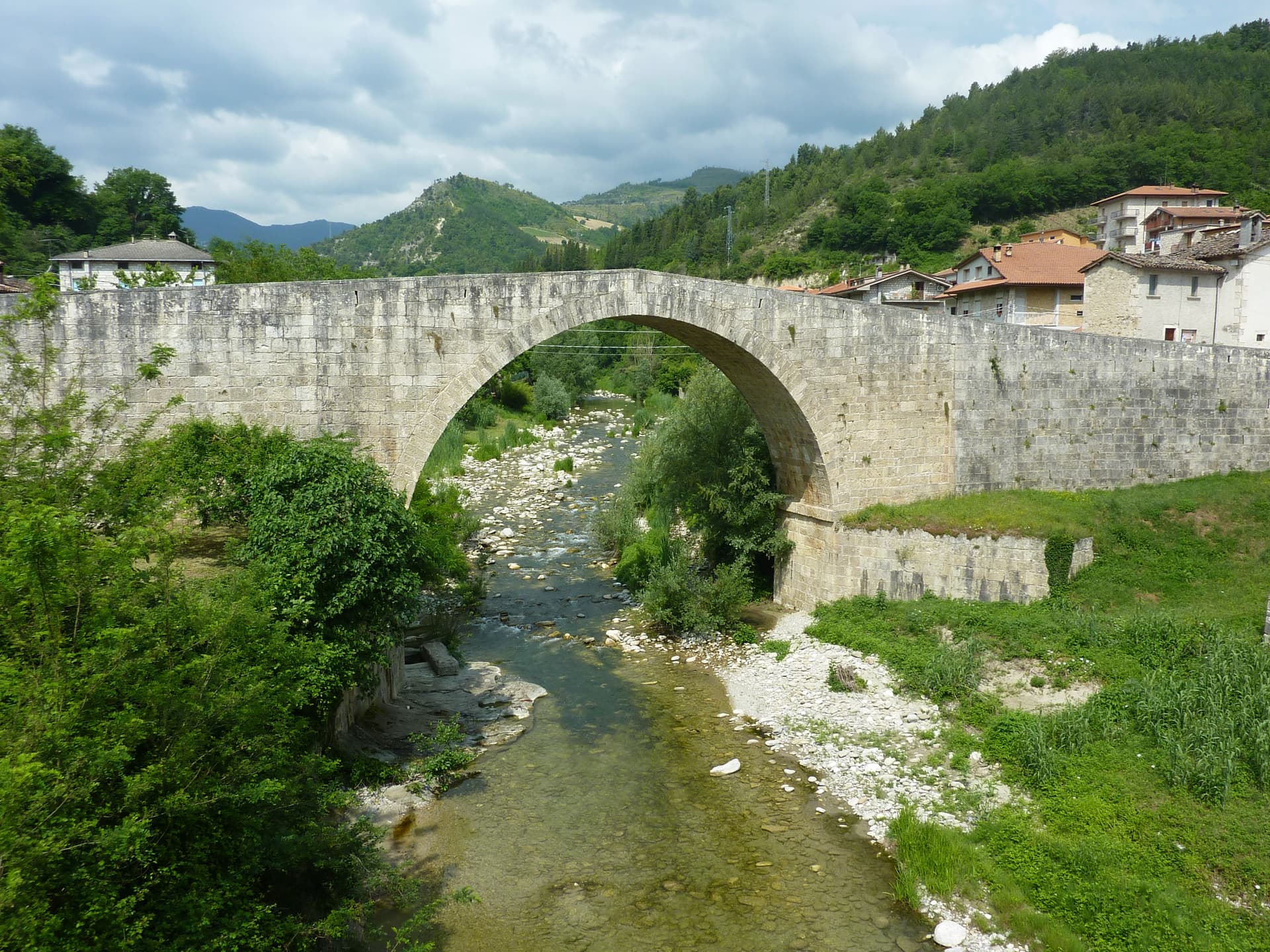
A sulphur-spring spa at 392 meters in the upper Tronto valley, where the water still surfaces at 30 degrees.
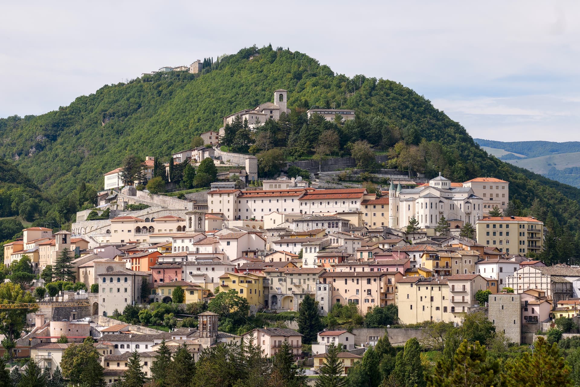
Cascia
Province: Perugia
Santa Rita's town at 653 meters in the upper Valnerina, in the seismic corner of Umbria that the 2016 earthquake reopened.
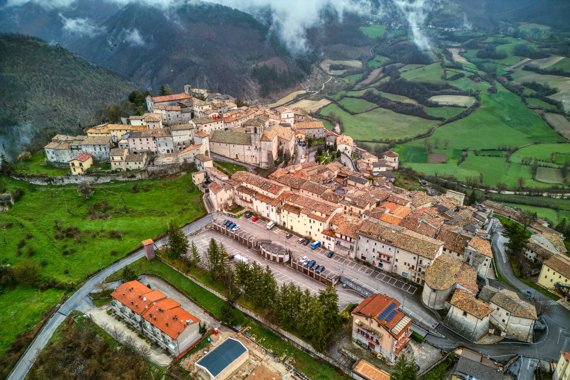
Monteleone di Spoleto
Province: Perugia
A 555-resident hilltop borgo at 978m in the upper Nera valley, ranked among the Borghi più belli d'Italia, with a medieval castle for a skyline and a pilgrim route running through it.
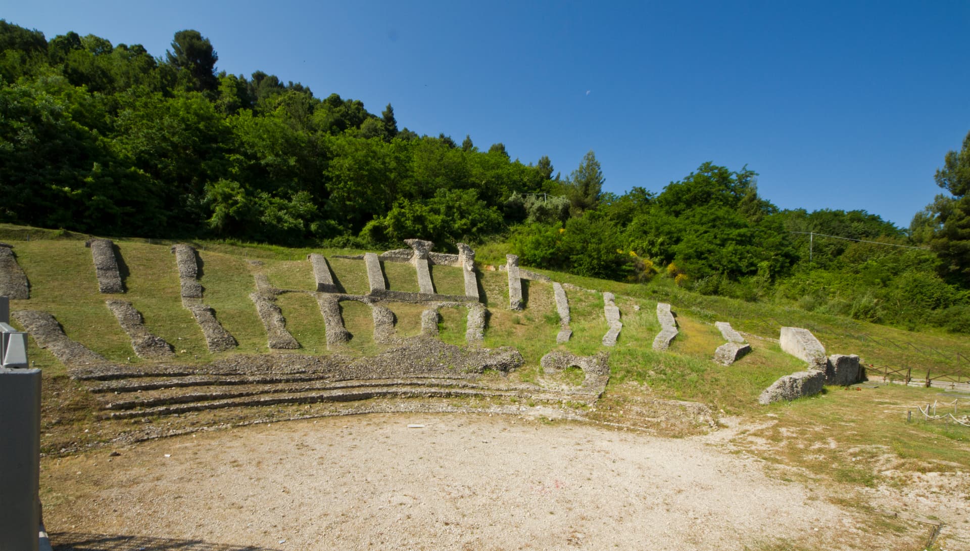
Ascoli Piceno
Province: Ascoli Piceno
The travertine city at 154 meters where the Tronto meets the Castellano, capital of the Piceni and host of the Quintana joust.
🎨 Borghi più belli d'Italia
More Borghi più belli d'Italia towns in Lazio
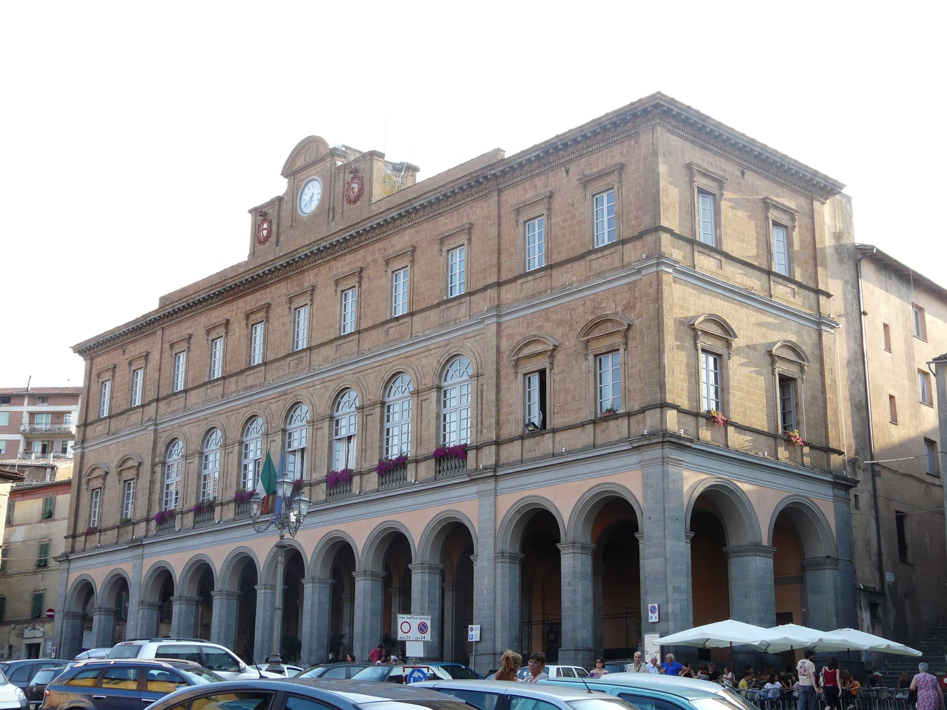
Acquapendente
Province: Viterbo
The northernmost town in Lazio, at 420 meters above the Paglia, named in 964 for its waterfalls.
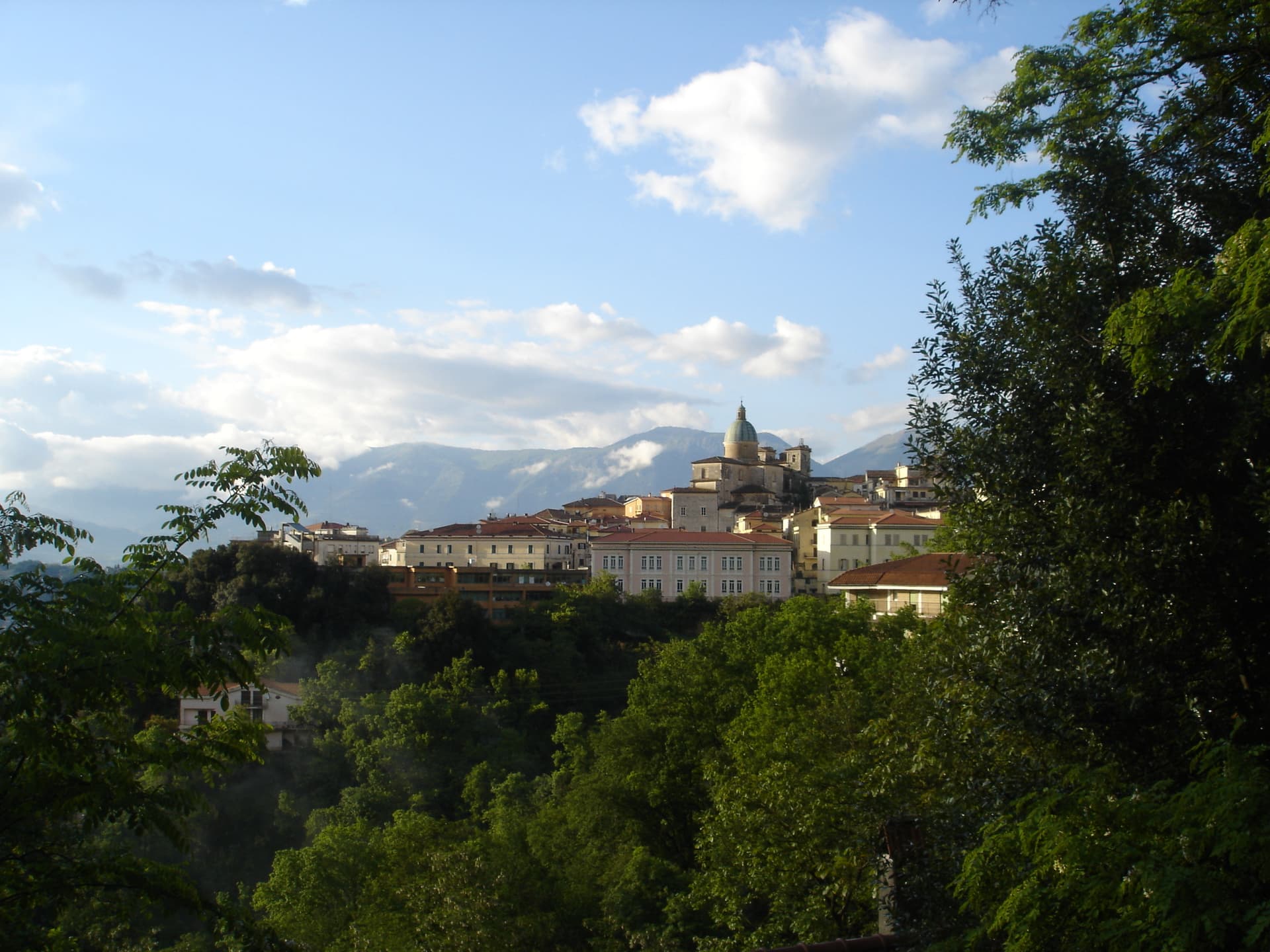
Atina
Province: Frosinone
A polygonal-walled town at the foot of the Mainarde, and the DOC that makes Cabernet in central Italy.
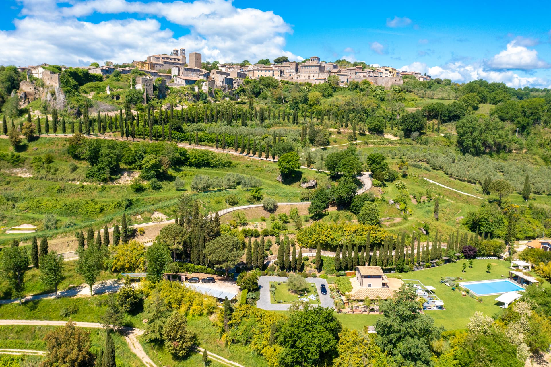
Bassano in Teverina
Province: Viterbo
A tufa-spur borgo of 1,260 above the Tiber valley between Lazio and Umbria, with a clock tower that hides an eleventh-century animated bell tower.
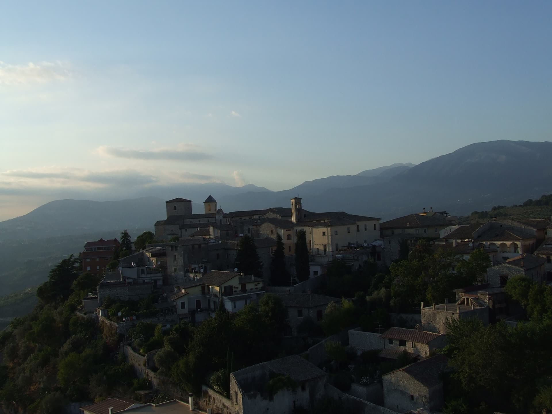
Boville Ernica
Province: Frosinone
A Ciociaria hilltop town with eighteen intact medieval towers, ringed by a walled circuit that has stood since the tenth century.
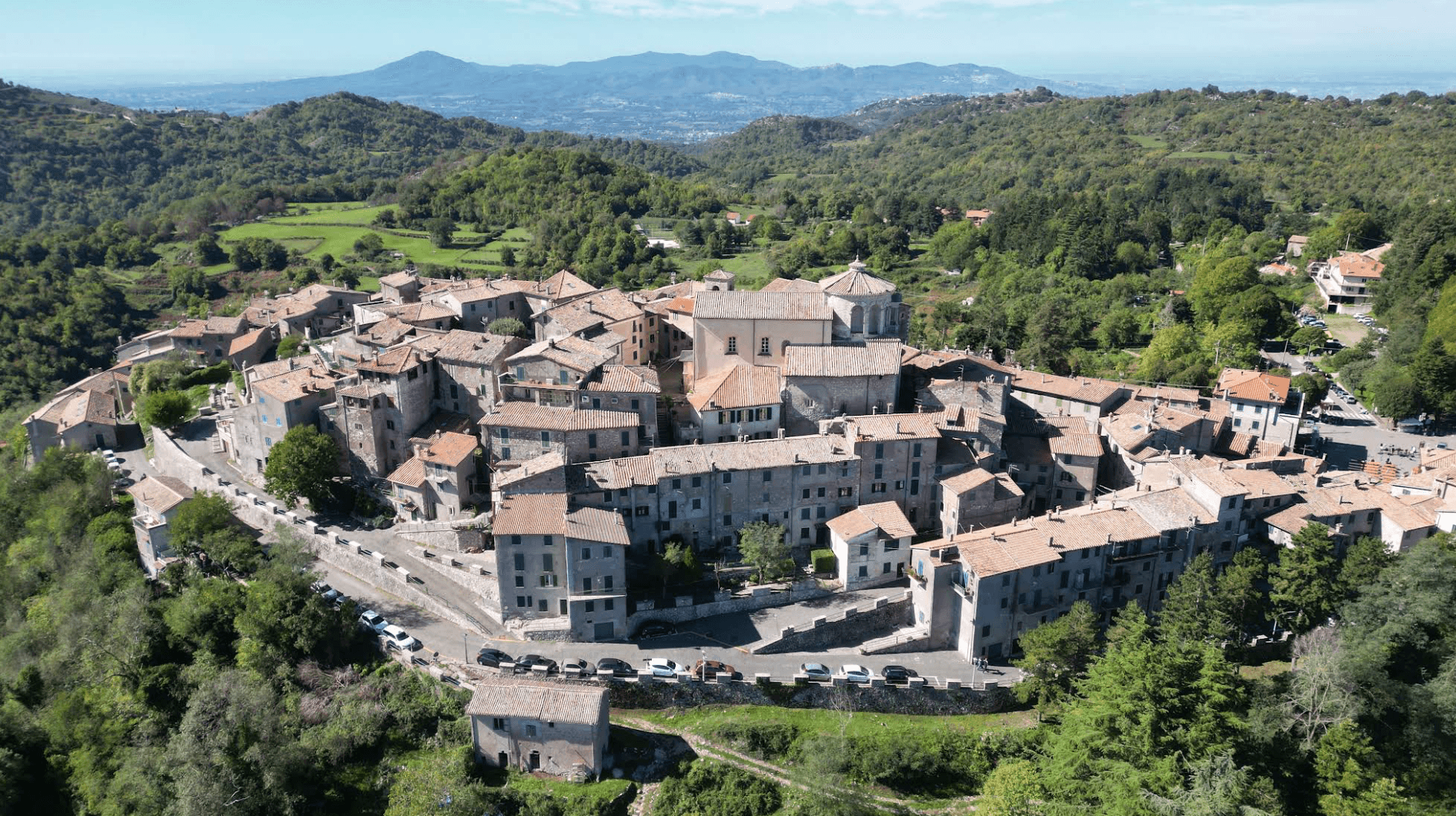
Capranica Prenestina
Province: Roma
A 915-meter ridge village east of Rome, with a sanctuary above the Giovenzano valley at 1,018 meters.