
The 6 best mountain towns in the province of Palermo
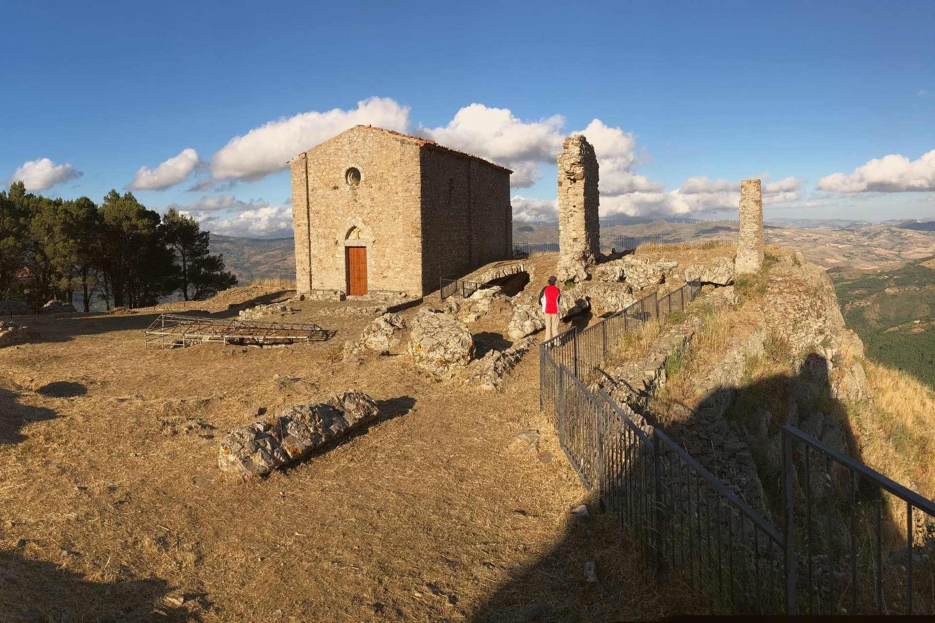
The province of Palermo does not stop at the sea. Behind the coastal plain the ground rises fast into the Madonie, a range of limestone ridges, beech woods and high pasture where villages are built from the grey stone they stand on and roofs are laid in dark tile against the winter. This is cold-weather Sicily, with snow above the treeline, chestnuts and mushrooms in autumn, and a table that runs to ricotta still warm, provola cheese, lamb, wild fennel and the sweet manna tapped from ash trees. Summer up here is cool enough to want a jumper after sunset, which is the opposite of what most people expect from the island.
Almost everyone who lands at Punta Raisi goes the same way: Palermo for the markets and the Norman churches, Monreale for the cathedral mosaics, then the coast road east to Cefalù for the cathedral and the beach. It is a good route and the reason it is crowded is that all of it is excellent. But the coast is a narrow strip, the parking is finite, and in July the beach towns absorb the traffic of half of northern Europe. The mosaics do not get quieter for anyone.
The same province keeps going inland, up the switchbacks into the mountains, and the villages there hold their own festivals, their own cheese, their own dialects (one of them still speaks Albanian and bakes the cannoli that Palermo drives out to buy). Fewer people go, partly because they need a car and a morning, partly because the mountains never made the postcard. The towns below sit in that upland country, worth a detour from the coast road or a few days of their own.
Of the 13 communes we have mapped in the province of Palermo, 6 qualify as mountain towns: each sits in the mountains. The smallest, Geraci Siculo, has 1,702 residents.
If you are still choosing, we have also written The 8 best high-altitude villages in Sicilia and The best small mountain towns in Sicilia.
Geraci Siculo
Why visit Geraci Siculo
Geraci Siculo sits at 1,077 meters on a sandstone ridge in the Madonie, the highest borgo of the Parco delle Madonie and one of the highest in Sicily. The first fortified nucleus dates to the mid-eighth century, when Byzantines retreated inland to escape Arab raids.
After the Norman conquest Roger I of Hauteville created the County of Geraci in 1072 and gave it to the Ventimiglia family; in 1258 the county was elevated to the first marquisate granted in Sicily. The Castello dei Ventimiglia, on the massive sandstone rock above the village, reached its definitive form in the early fourteenth century and still dominates the skyline.
From the ridge the view runs from Etna in the southeast to the Aeolian Islands in the north. The Madonie pasture economy underwrites the local cheese, particularly provola dei Nebrodi and ricotta from sheep flocks on the surrounding peaks.
The village placed third in the national Borgo dei Borghi competition.
The village sits at 1077 metres.
What to see in Geraci Siculo
- Castello dei Ventimiglia. Fourteenth-century castle on a sandstone outcrop above the village, the high point of the marquisate of Geraci from 1258.
- Chiesa Madre di Santa Maria Maggiore. Mother church at the centre of the village, with Renaissance and Baroque elements and works recovered from the Ventimiglia chapel.
- Centro storico. Medieval Madonie layout of stone houses on the ridge, with stepped lanes and narrow piazzas oriented to the castle rock.
How to get to Geraci Siculo
Palermo is roughly 106 minutes away by road.
Our tip
Geraci Siculo runs on alpine seasons: June through September is the summer window, when the ridge stays cool, the wildflowers cover the high pasture, and Etna is visible from the castle. December through March is the winter window, when snow falls on the Madonie peaks and the village turns to its cheese and slow-cooked food. April, May, October and November are quiet shoulder months, with fog rolling in off Pizzo Carbonara and many trattorie shut. Giostra dei Ventimiglia a Geraci Siculo falls in August.
Petralia Sottana
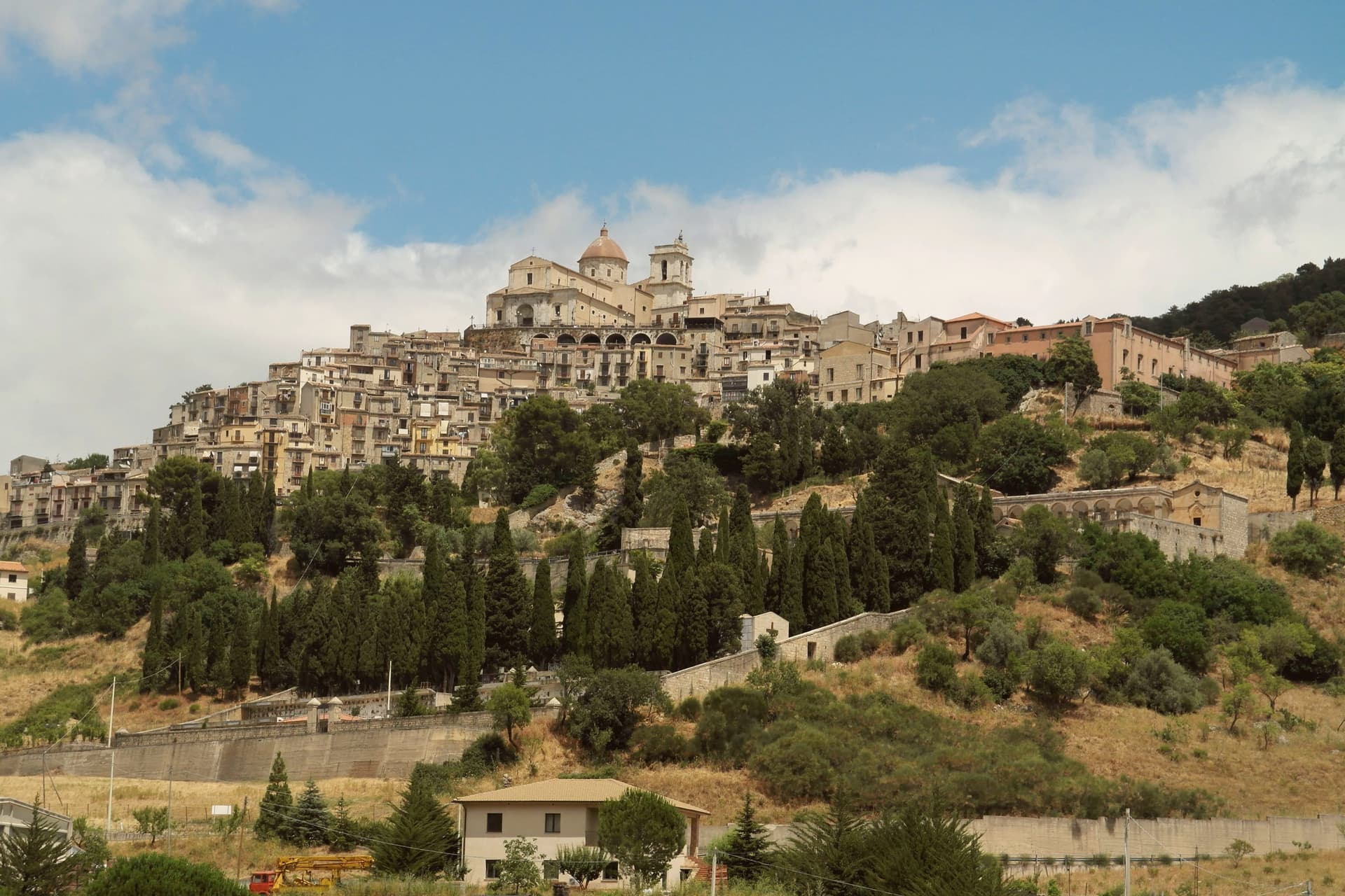
Why visit Petralia Sottana
Petralia Sottana sits at 1,000 meters in the heart of the Madonie, the second-highest range in Sicily after Etna. The town is the only commune in Sicily to hold a Bandiera Arancione from the Italian Touring Club, and the headquarters of the Parco delle Madonie are inside its territory.
The two Petralie, Sottana and Soprana, share a Roman and Byzantine origin and were rebuilt under the Normans on opposite slopes of the same ridge; Sottana, the lower of the two, became the administrative centre of the surrounding mountain villages. The Chiesa Madre, also known as the Chiesa Maria Santissima Assunta, is the largest place of worship in the Madonie, seventeenth-century and rebuilt around an earlier core in the Pusterna district.
The Chiesa di Santa Maria di Loreto, founded in 1484 and remade in the seventeenth century, has majolica spires that mark the south end of the centro. Piazza del Popolo holds the Neo-Gothic Palazzo Pottino, the marble Quattro Cannoli fountain of Billiemi stone, and the Oratorio delle Anime Purganti.
The village sits at 1000 metres.
What to see in Petralia Sottana
- Chiesa Madre (Maria Santissima Assunta). Seventeenth-century mother church on Piazza Umberto, the largest place of worship in the Madonie, in the ancient Pusterna district.
- Chiesa di Santa Maria di Loreto. Church founded in 1484 and rebuilt in the seventeenth century, with majolica spires and a marble altarpiece attributed to Giandomenico Gagini.
- Piazza del Popolo. Central square with the Neo-Gothic Palazzo Pottino of the Marquises of Eschifaldo, the Oratorio delle Anime Purganti and the Quattro Cannoli fountain.
How to get to Petralia Sottana
There is a railway station in the town, so you can arrive without a car and never need one while you are here. Palermo is roughly 104 minutes away by road.
Our tip
June through September are the Madonie hiking months. Pizzo Carbonara stays cool above 1,500 meters even in August, and the trails radiate from Petralia Sottana into the beech and holm-oak woods of the park. December through March is the second season: at 1,000 meters the town gets reliable snow, and the Piano Battaglia ski station above the village runs the only working lifts in western Sicily. Ballo Pantomima della Cordella a Petralia Sottana falls in August.
Polizzi Generosa
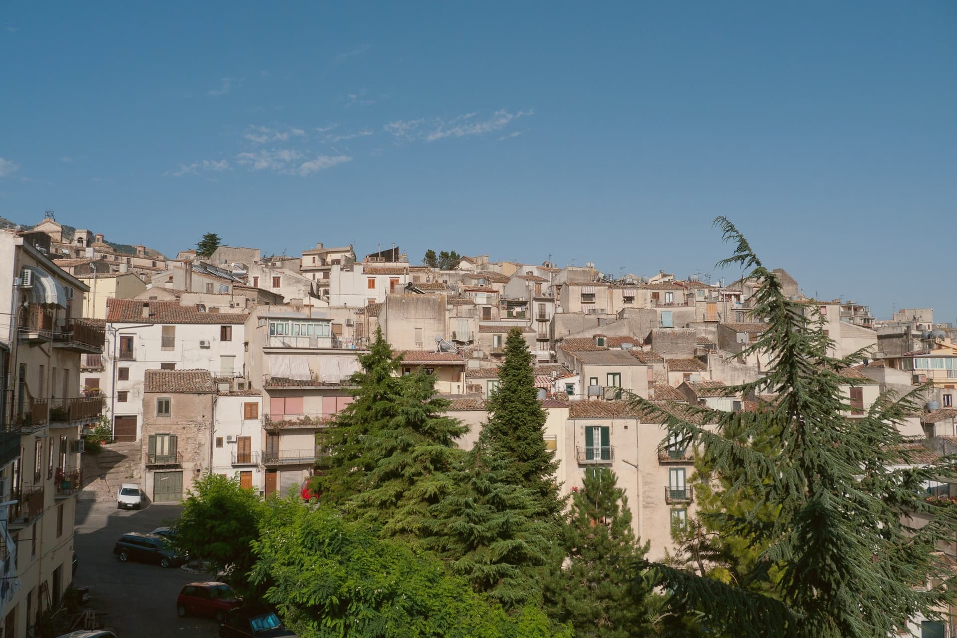
Why visit Polizzi Generosa
The name Polizzi is thought to derive from the Greek Polis Isis, City of Isis, and archaeological finds attest continuous settlement since at least the sixth century BC, including coins from the nearby Greek colony of Himera. The Normans rebuilt the hilltop settlement, and Frederick II later added the epithet generosa.
The old town climbs the ridge in stone houses, convents and churches, with the church and its twin bell towers at the summit, while the surrounding limestone massif, now protected as part of a UNESCO Global Geopark, supplies the slopes where hazelnuts are grown and where the town's convents once produced the sfoglio still made today. Domenico Dolce of Dolce & Gabbana was born here in 1958.
Giuseppe Antonio Borgese, the novelist who refused the Fascist loyalty oath in 1931 and emigrated to the United States, came from the same town. A settlement old enough to trace its name to Greek colonists, remade by Normans and by an emperor, still produces the same hazelnuts and the same pastry its convents made centuries ago, and still sends its people beyond the mountain.
The village sits at 917 metres.
What to see in Polizzi Generosa
- Chiesa Madre di Polizzi Generosa. Norman foundation rebuilt in Baroque style in the seventeenth century, with twin bell towers, a clock and a grand staircase at the top of the town.
- Museo Archeologico di Himera. Civic museum with finds from the area's continuous settlement, including coins and amphorae linked to the Greek colony of Himera on the coast.
- Parco delle Madonie. Regional natural park and UNESCO Global Geopark since 2015, covering the limestone massif that rises around the town.
How to get to Polizzi Generosa
Palermo is roughly 72 minutes away by road.
Our tip
May through October is the open season. At 917 meters the summer stays well below the coastal heat, the Madonie holds its forests through August, and the hazelnut harvest comes in late August and September. October fills the woods with mushrooms and turning beech.
Petralia Soprana
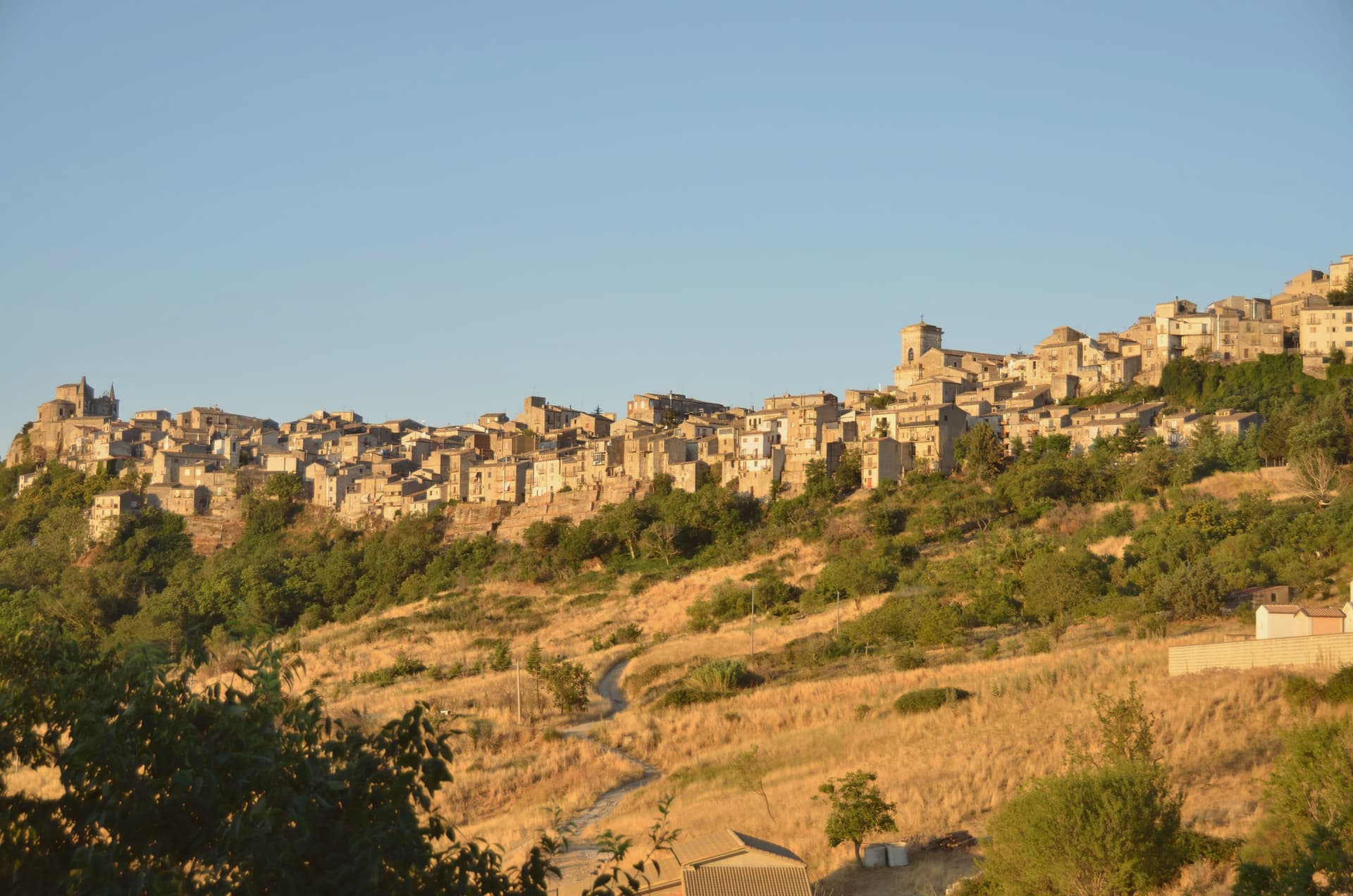
Why visit Petralia Soprana
Petralia Soprana sits at 1,147 meters at the heart of the Madonie Natural Park, the highest commune in the range. The town and its lower twin Petralia Sottana grew from the Roman Petra, then took its current form under the Normans, who fortified the ridge.
The Chiesa Madre, dedicated to Saints Peter and Paul, dates to the fifteenth century and faces Piazza Duomo with a clear view across the Madonie. Below the village, the Raffo salt mine runs 80 kilometers of tunnels through one of the largest salt deposits in Europe, mined since at least the fourteenth century; the active mine now hosts MACSS, a contemporary art museum carved into the salt, one of a kind worldwide.
RAI named Petralia Soprana Borgo dei Borghi in 2018, the year of the salt mine's wider opening to the public. The stone streets, the mountain air at 1,147 meters, and the salt below the floor are the three things the village trades on.
The village sits at 1147 metres.
What to see in Petralia Soprana
- Chiesa Madre (Santi Pietro e Paolo). Fifteenth-century mother church on Piazza Duomo, central monument of the village, with a baroque interior added after the 1693 earthquake.
- Miniera di Sale di Raffo. Active salt mine below the village with 80 km of tunnels in one of Europe's largest salt deposits, worked since the fourteenth century.
- MACSS — Museo Arte Contemporanea Sotto Sale. Contemporary art museum inside the active Raffo salt mine, sculptures cut directly into rock salt walls, the only museum of its kind worldwide.
How to get to Petralia Soprana
Palermo is roughly 88 minutes away by road.
Our tip
June through September brings dry mountain weather, ridge trails open across the Madonie, and temperatures stay below twenty-five even when Palermo touches forty. The salt mine and MACSS run all year, lit and warm inside. December through March catches snow at 1,147 meters and the village fills briefly with day-trippers from Cefalù coming up to see white roofs. Sagra del Grano a Pianello - Petralia Soprana falls in August.
Piana degli Albanesi
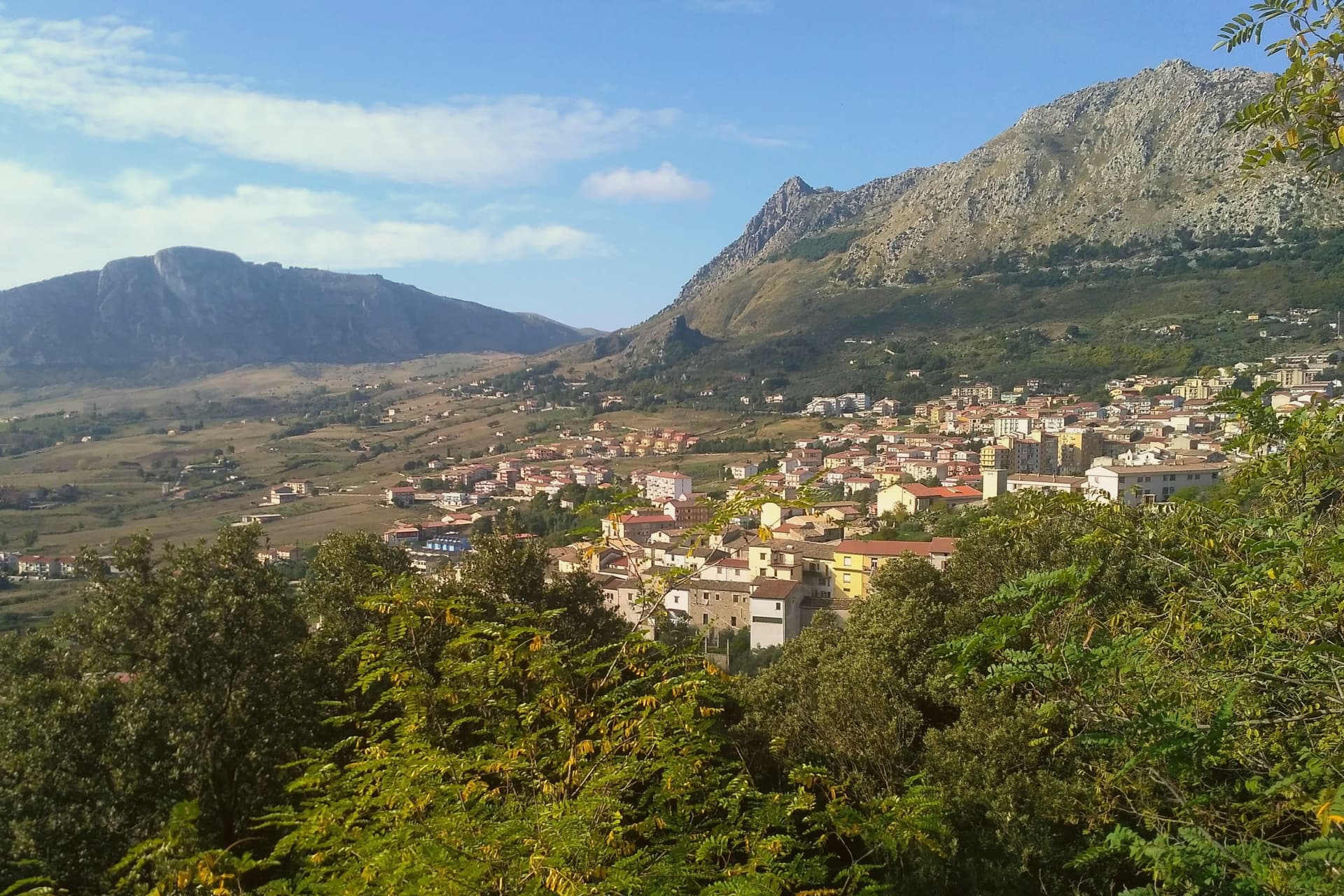
Why visit Piana degli Albanesi
Piana degli Albanesi sits at 720 meters on a plateau twenty-four kilometers south of Palermo, encircled by mountains on the eastern flank of Pizzuta. Hora e Arbëreshëvet in arbëresh, the town is the largest and most populous Arbëresh settlement in Sicily, founded in the late fifteenth century by Albanians fleeing the Ottoman conquest of the Balkans, including nobles and relatives of Skanderbeg.
Five centuries later the community still speaks the Albanian of its founders, follows the Byzantine Greek rite, and wears traditional costumes on feast days. The Cattedrale di San Demetrio Megalomartire is the seat of the Eparchy of Piana degli Albanesi, part of the Italo-Albanian Catholic Church.
The Byzantine liturgical singing of the town is on the Intangible Heritage Registry of Sicily. The Lago di Piana, an artificial reservoir at 612 meters with 3.1 square kilometers of surface, sits below the town, built to generate electricity and irrigate the plain.
The village sits at 720 metres.
What to see in Piana degli Albanesi
- Cattedrale di San Demetrio Megalomartire. Seat of the Italo-Albanian Catholic Eparchy, Byzantine-rite cathedral with iconostasis, frescoed interior and Greek liturgy in arbëresh.
- Chiesa di San Giorgio. Second great parish of the town, sixteenth-century foundation, also of the Byzantine rite.
- Lago di Piana degli Albanesi. Artificial lake at 612 meters, 3.1 km² of surface, built for hydroelectric power and irrigation below the town.
How to get to Piana degli Albanesi
Palermo is roughly 36 minutes away by road.
Our tip
May through October is the open season. The plateau at 720 meters keeps the town cooler than Palermo below, even in July and August when the coastal city becomes hostile. The Festa dell'Epifania on 6 January and Holy Week bring the town's Byzantine liturgy into full view, women in traditional Albanian costume in procession, but these are winter visits, cold and quiet.
Gangi
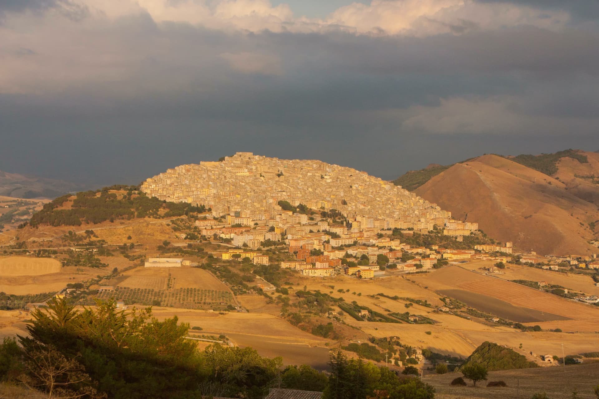
Why visit Gangi
Gangi sits at 1,011 meters on the southern slope of the mountain, the easternmost edge of the Madonie, eighty kilometers southeast of Palermo. The current settlement dates to 1300, rebuilt as part of the Ventimiglia county of Geraci after its earlier town was destroyed in the Sicilian Vespers war.
Below the fortress at the top, the houses descend in tight stone tiers toward the Salso valley, upper town and lower slope reading as one continuous fall of rooftops rather than separate quarters. The municipal council launched a one-euro-house scheme the year after the town's television win and stuck with it longer than most.
The territory is Città del Tartufo, with black truffles from the surrounding woodlands, and the local sausage with wild fennel travels as far as the manna and ricotta from neighboring Castelbuono. What holds the place together is the mountain itself: a defensive site chosen after destruction, built up by one family, and preserved largely intact because the slope that once protected it now simply keeps it visible from below.
The village sits at 1011 metres.
What to see in Gangi
- Castello dei Ventimiglia. Fortress at the top of the town, walls and tower line still visible against the sky, the seat from which the counts governed the rebuilt settlement.
- Torre dei Ventimiglia. Square stone tower attached to the mother church, the second piece of the defensive system, standing alongside the castle above the rooftops.
- Chiesa Madre di San Nicolò. Mother church holding a Giuseppe Salerno altarpiece and the Camposanto, an underground crypt with mummified clergy.
How to get to Gangi
Palermo is roughly 118 minutes away by road.
Our tip
At 1,011 meters, Gangi runs cooler than coastal Sicily. June through September are the dry trekking months in the Madonie, with daytime temperatures around twenty-five degrees and the surrounding beech forests in full leaf. July and August on the coast are oppressive; up here they are walkable. Sagra della Spiga e Corteo di Demetra falls in August.
More from Anywhere Italy
- The 8 best high-altitude villages in Sicilia
- The best small mountain towns in Sicilia
- The best towns inside a nature park in the province of Palermo
 The best small towns inside a nature park in Sicilia
 The best mountain towns within two hours of Catania
- The prettiest villages inside a nature park in Sicilia